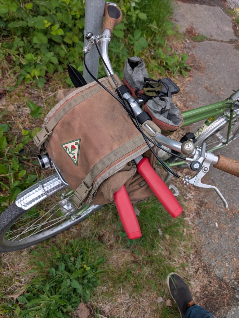
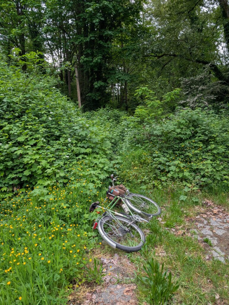
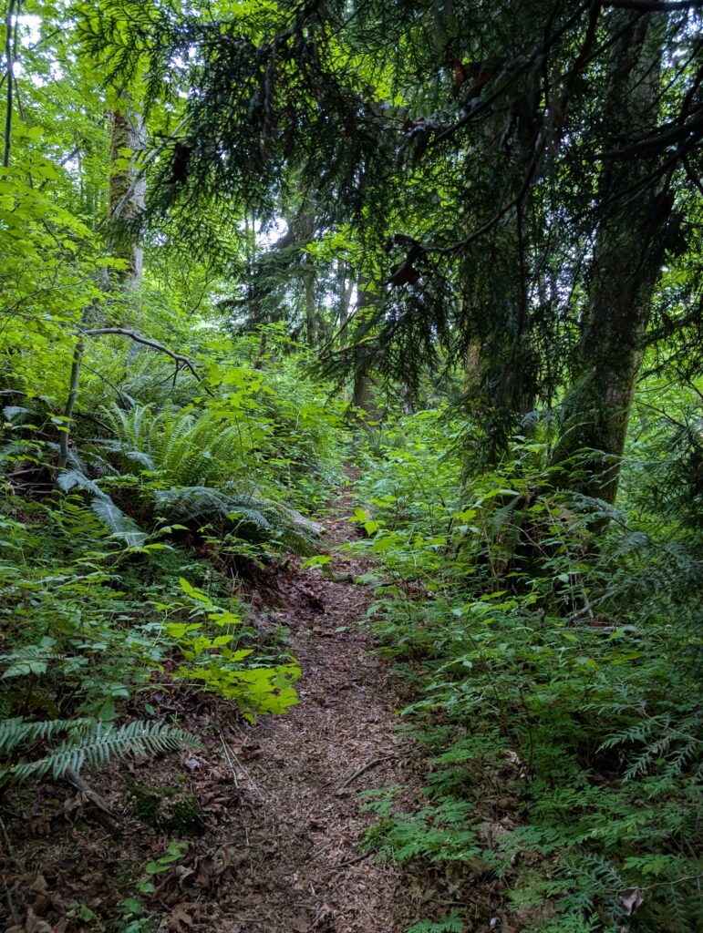
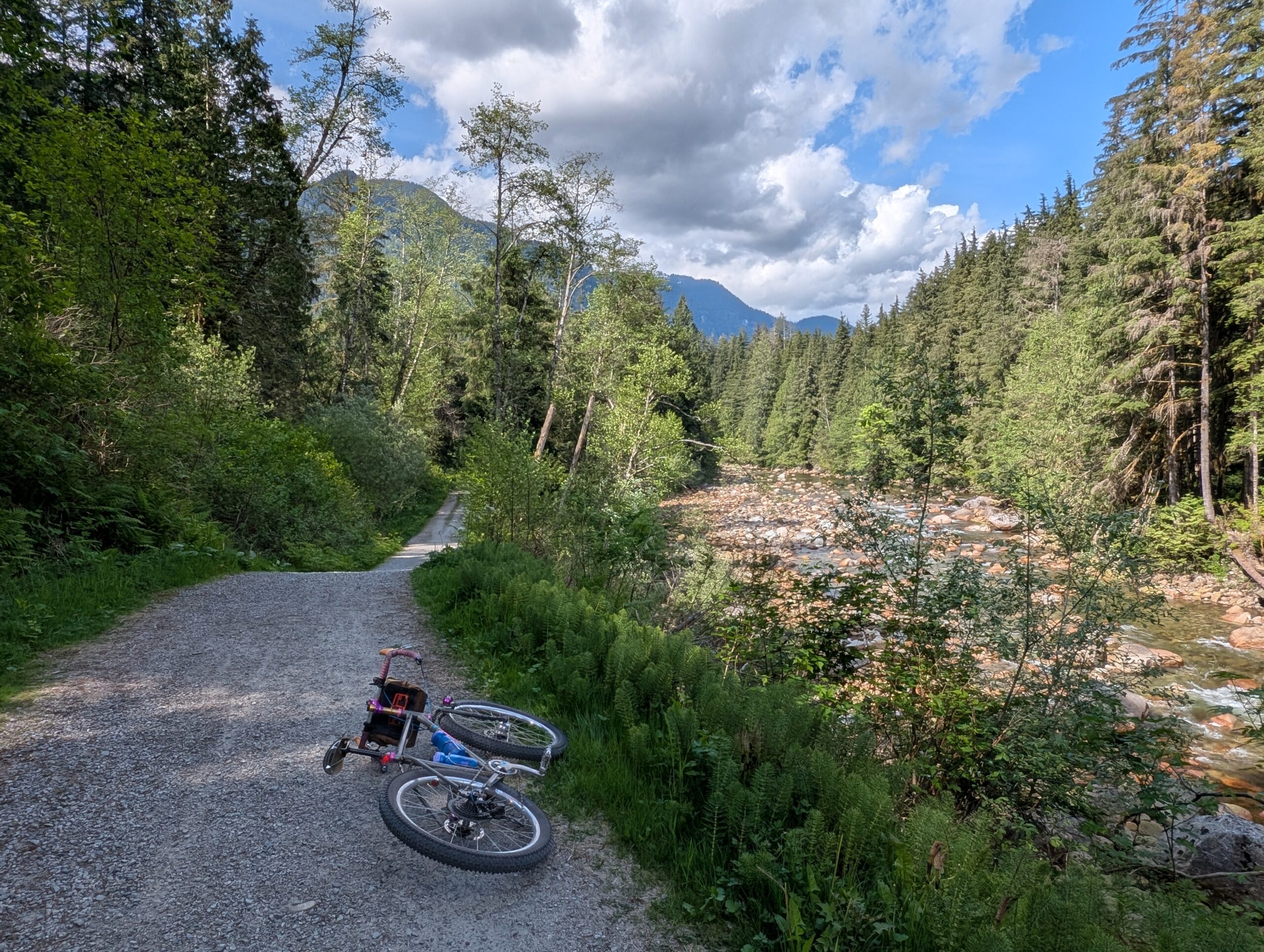
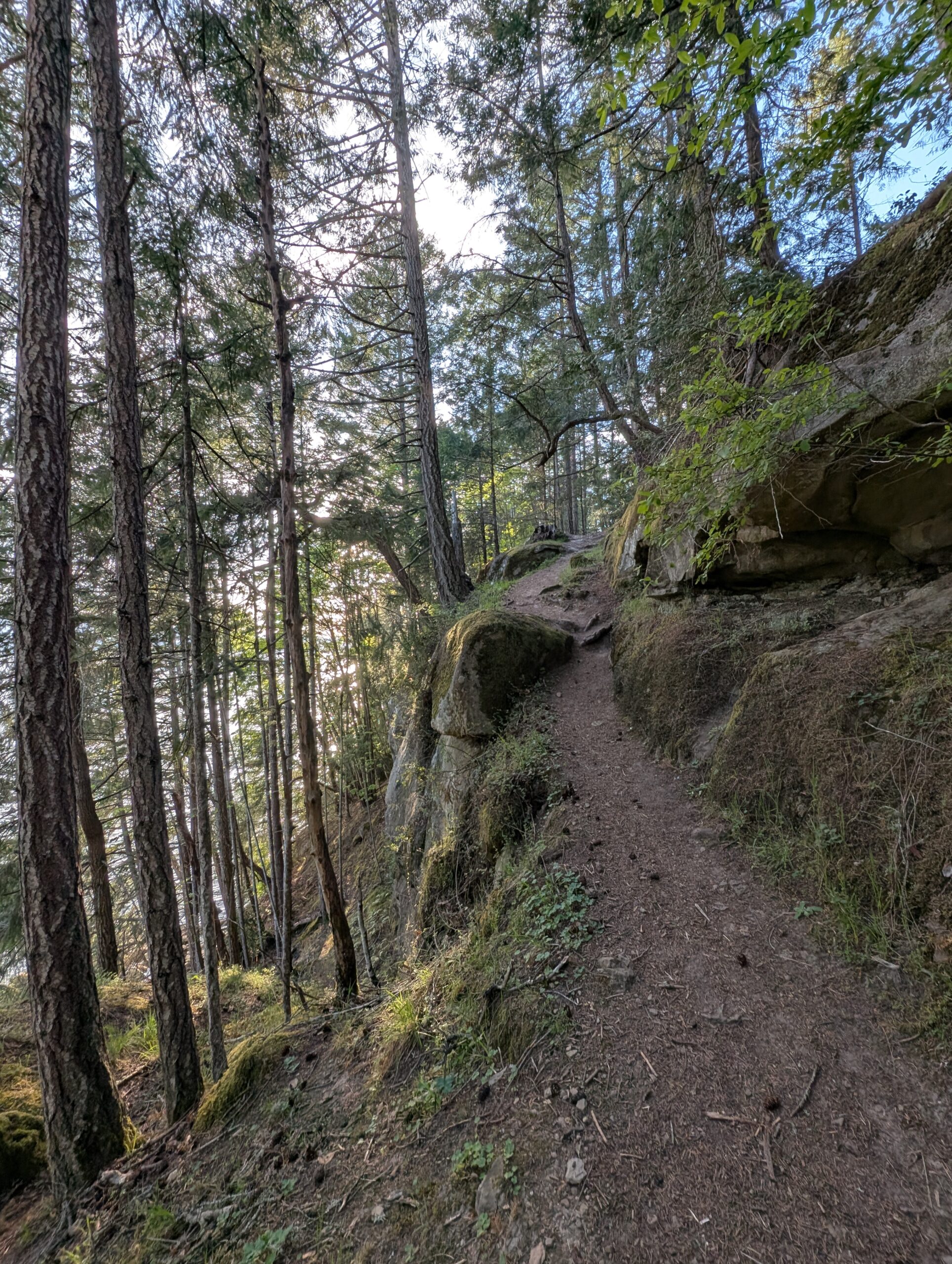
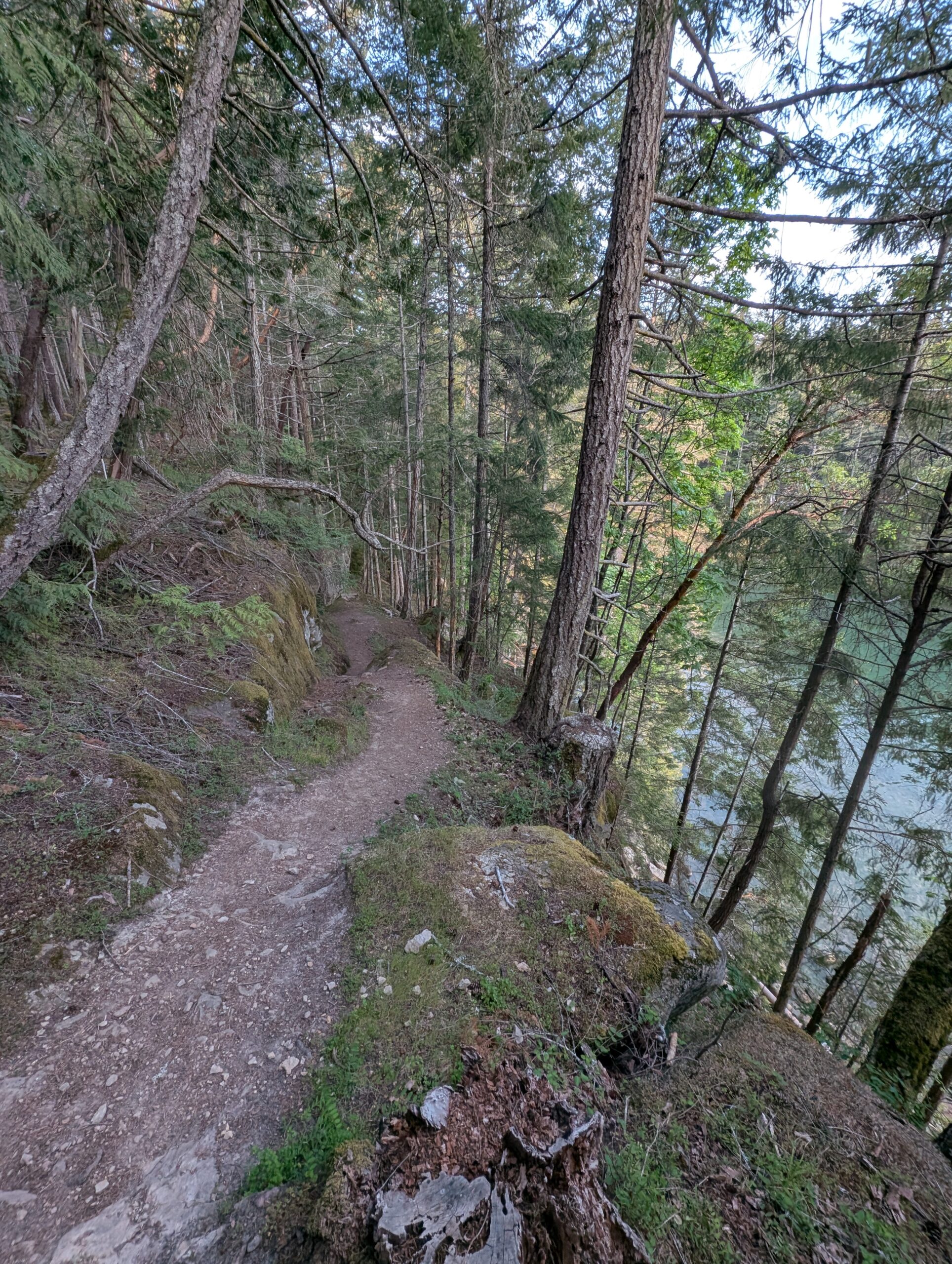
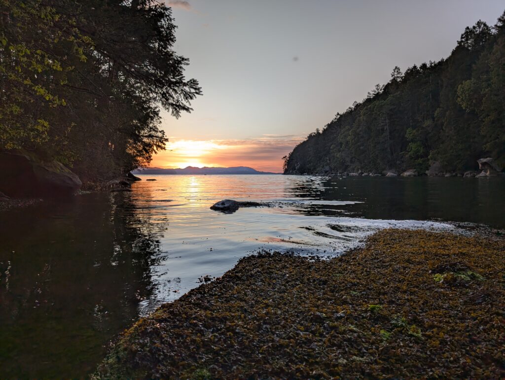
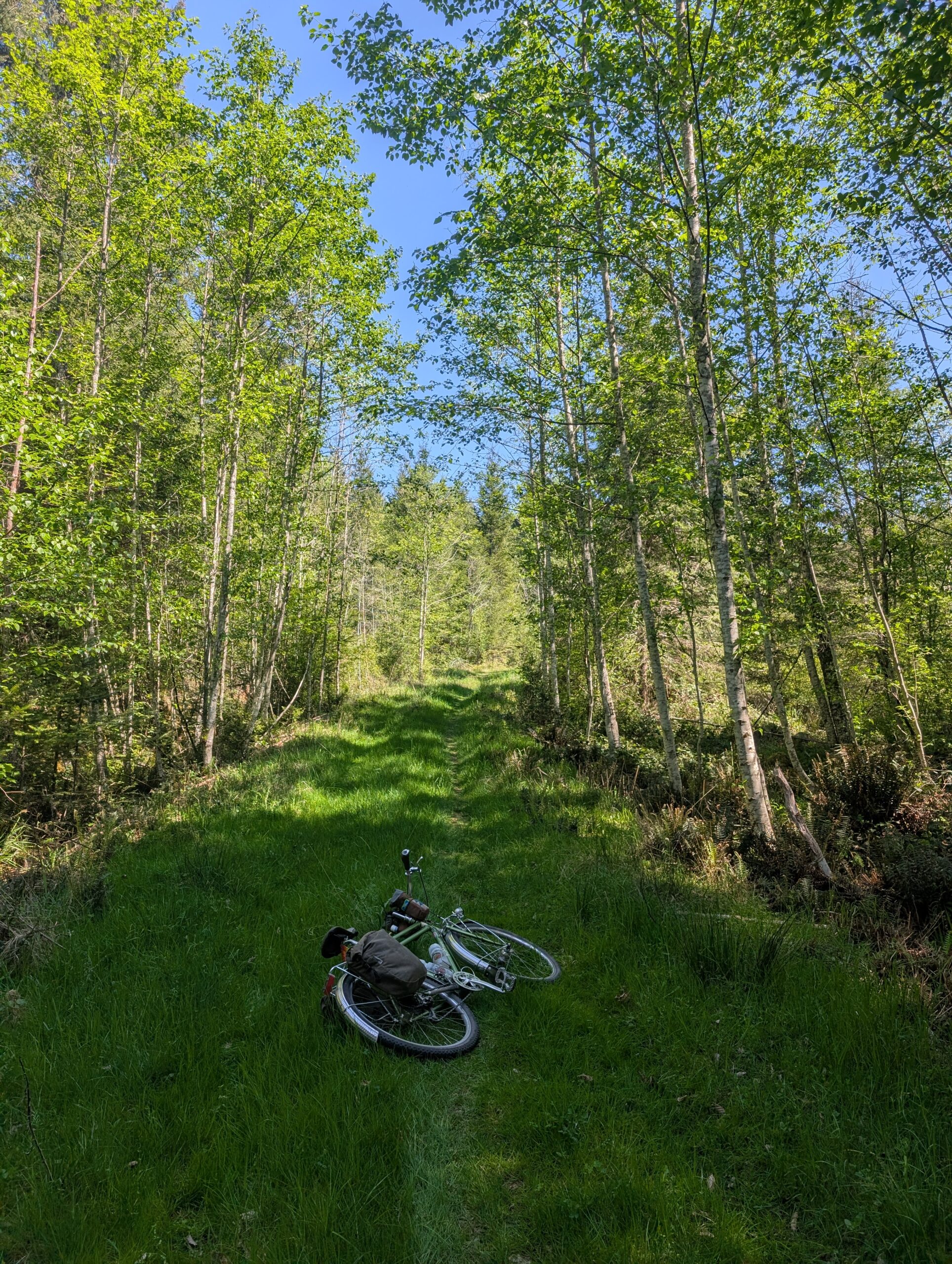
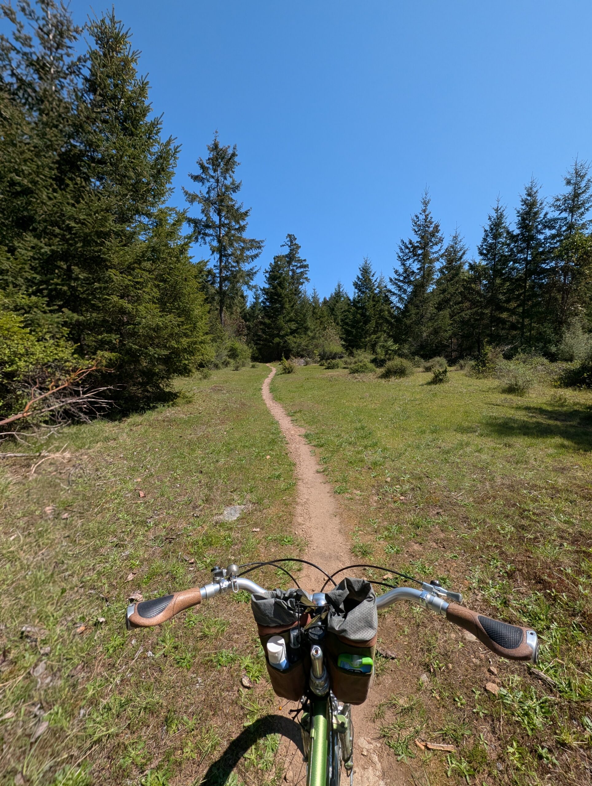
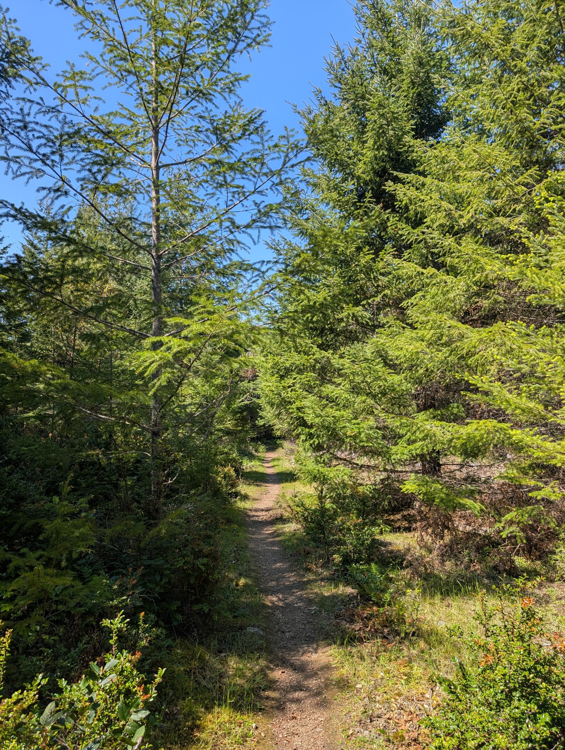
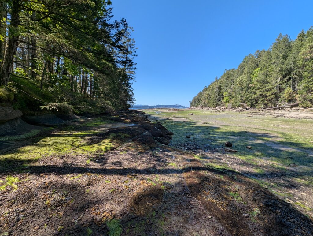
Day three was my travels home; I chose to take the mid-morning ‘milk run’ ferry to the main island rather than wait until well into the afternoon for the direct ferry to Tsawwassen because I’d be getting home after dark on the latter. Besides, being carried around on ferries all day isn’t so bad!
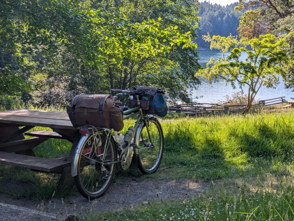
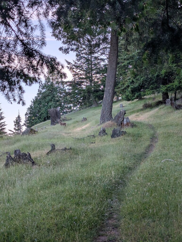
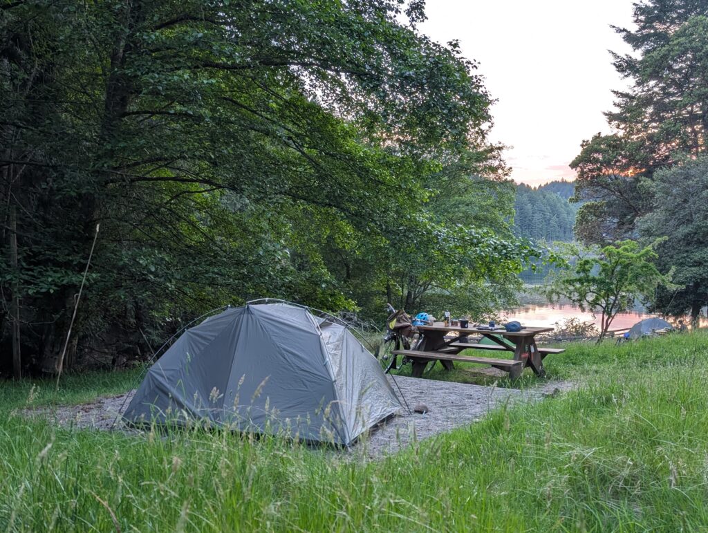
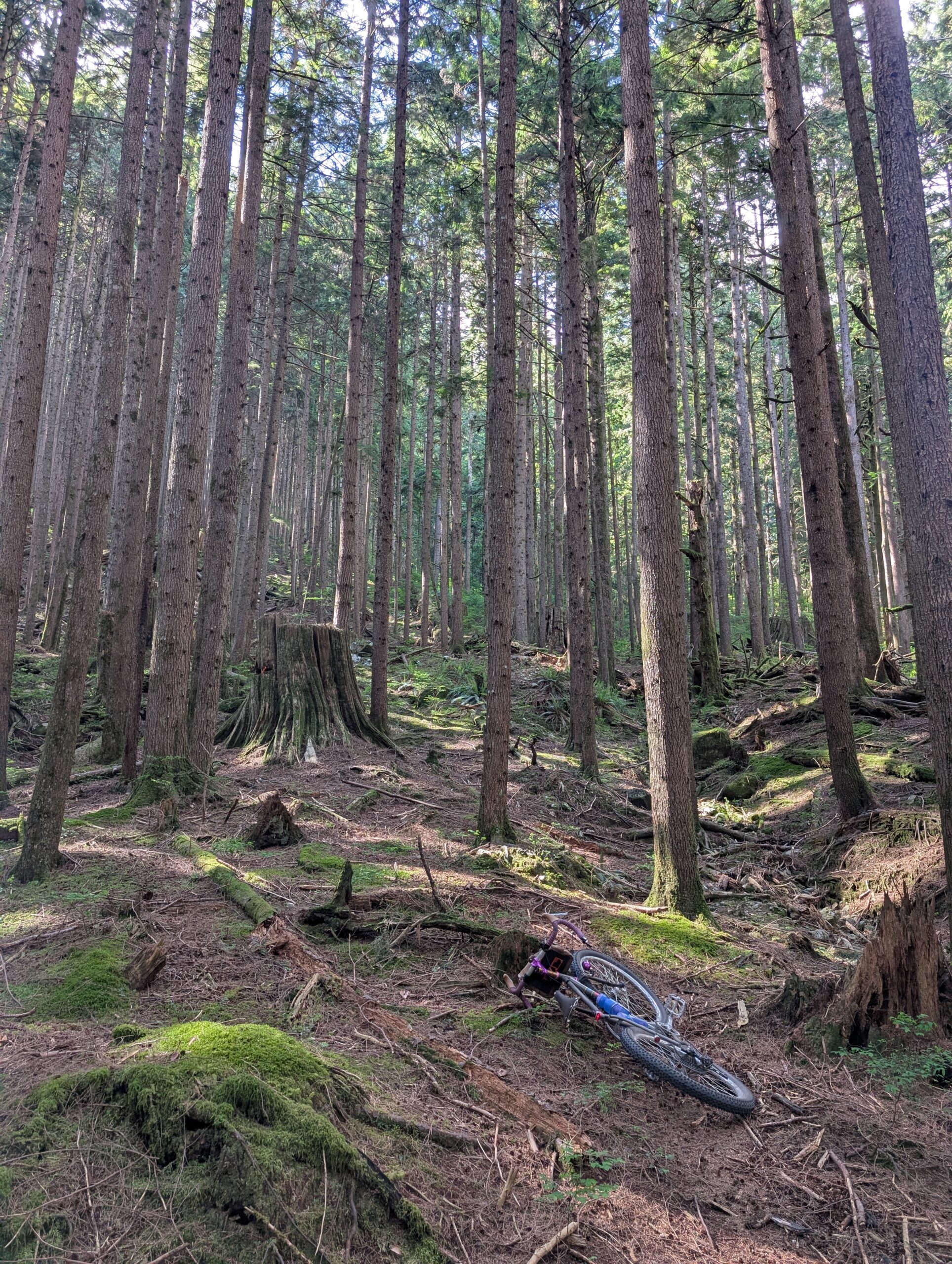
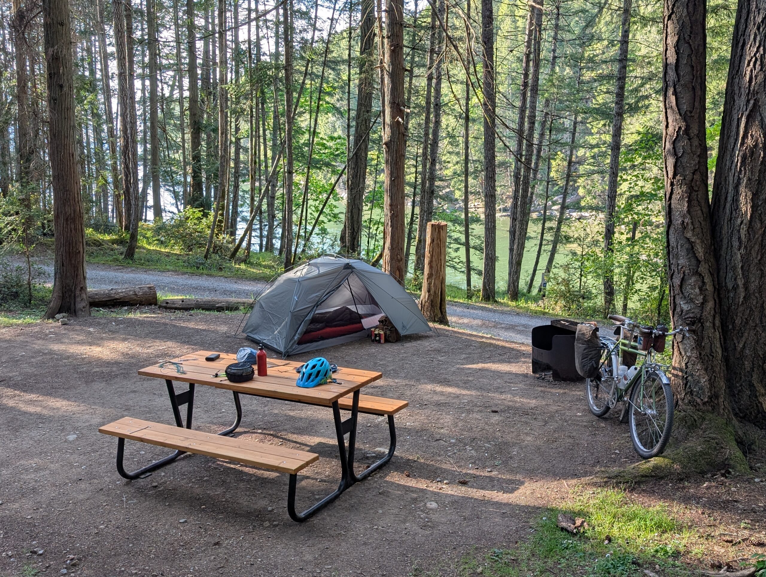
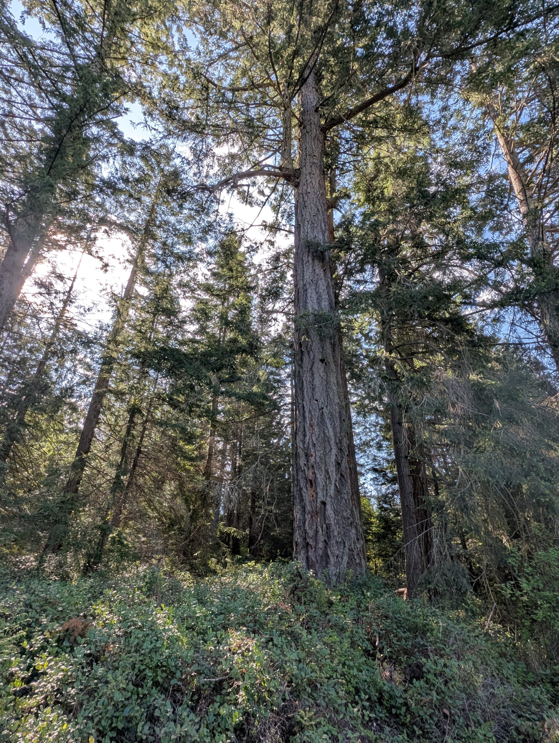
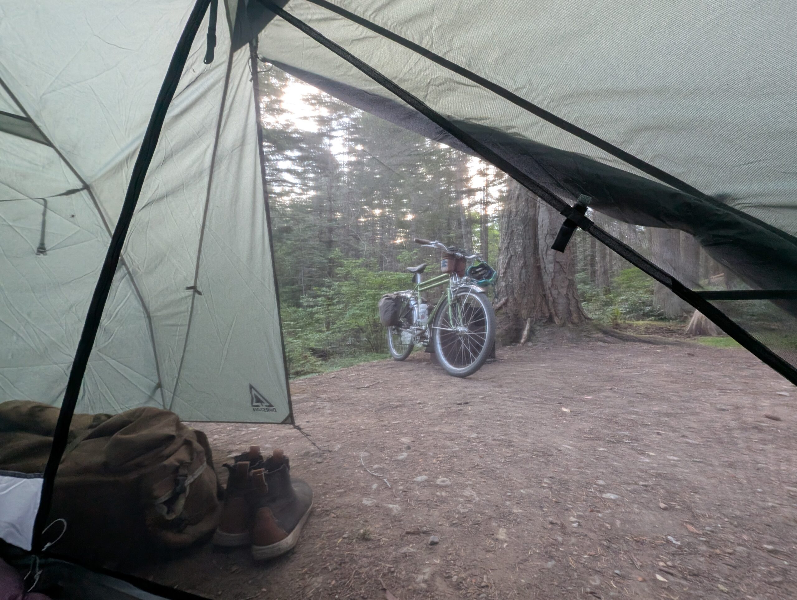
First off, here’s a view of camp around 7am with the morning sun coming through the trees.
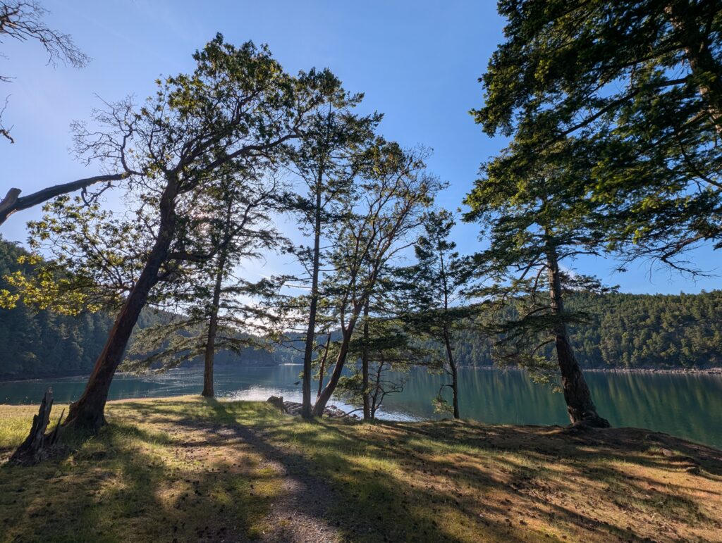
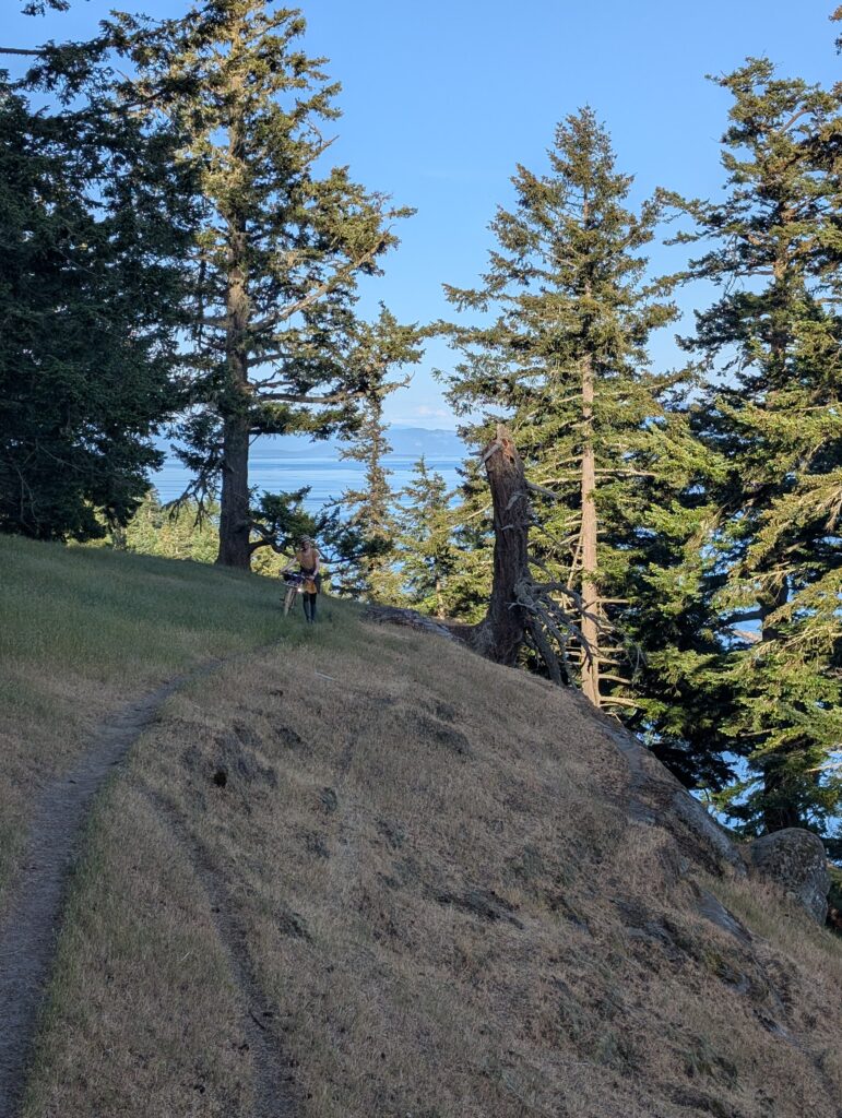
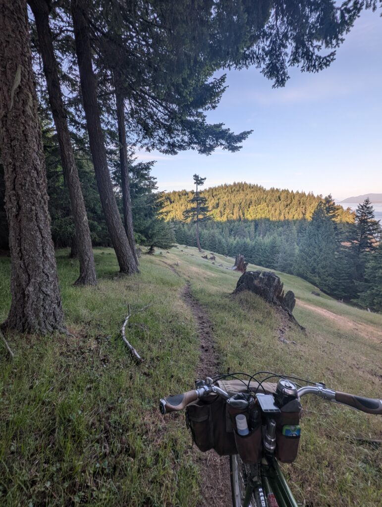
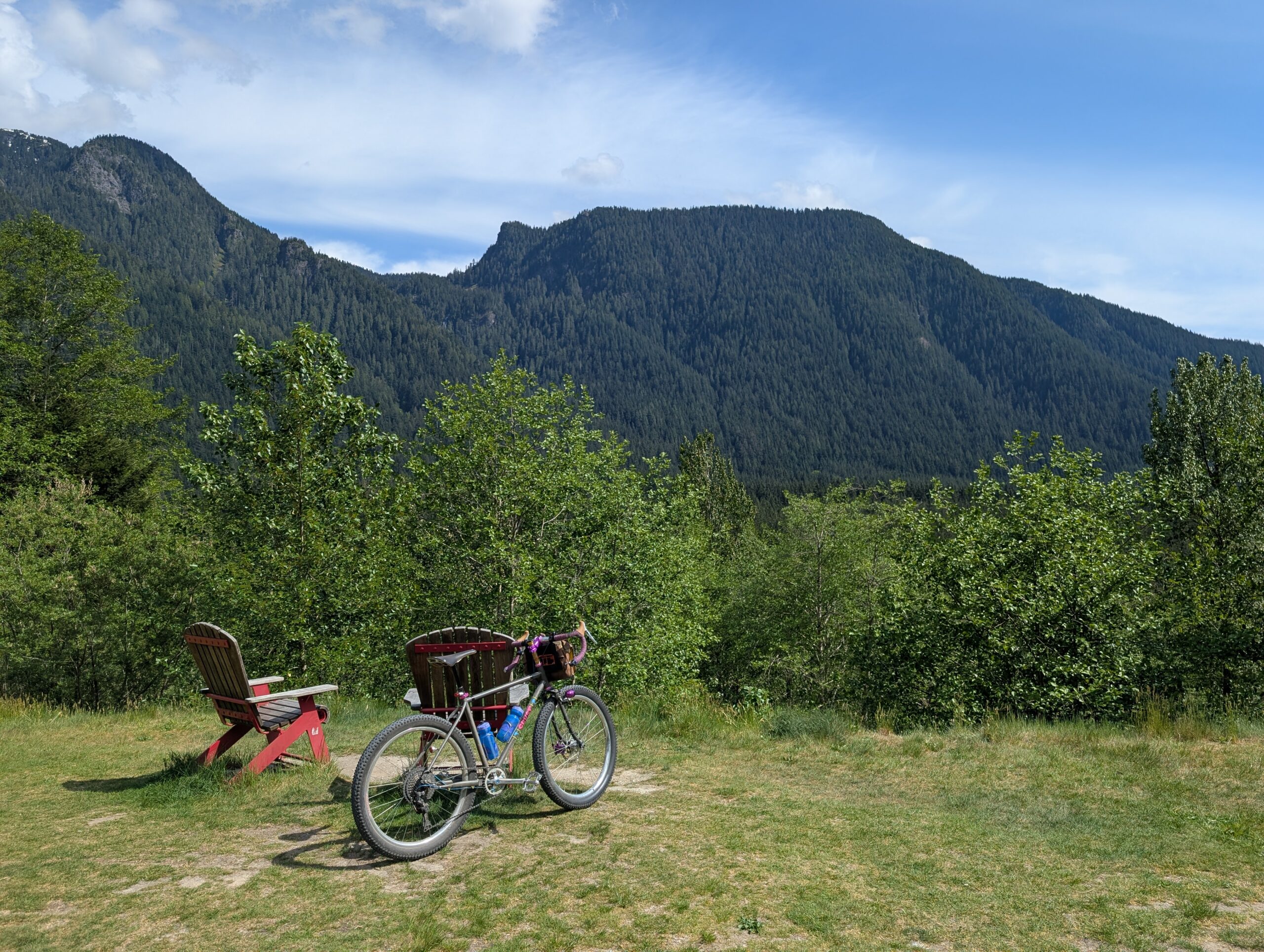
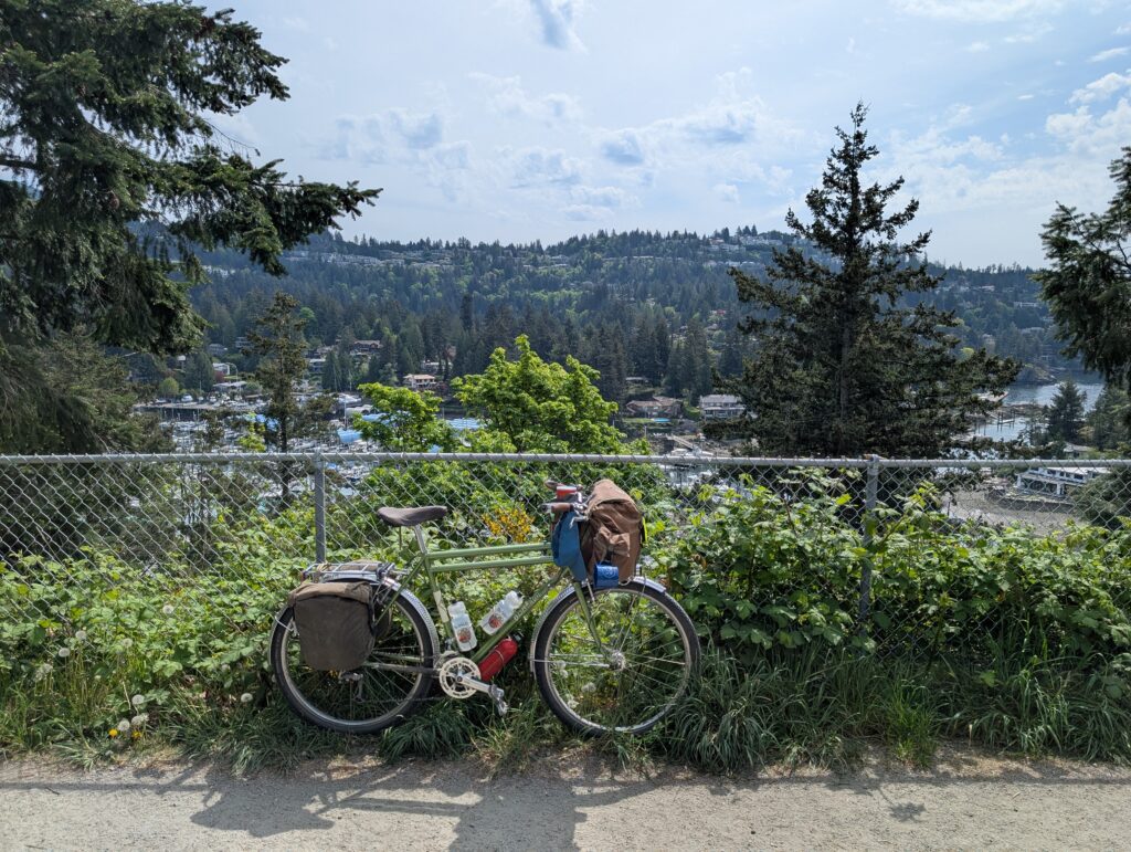
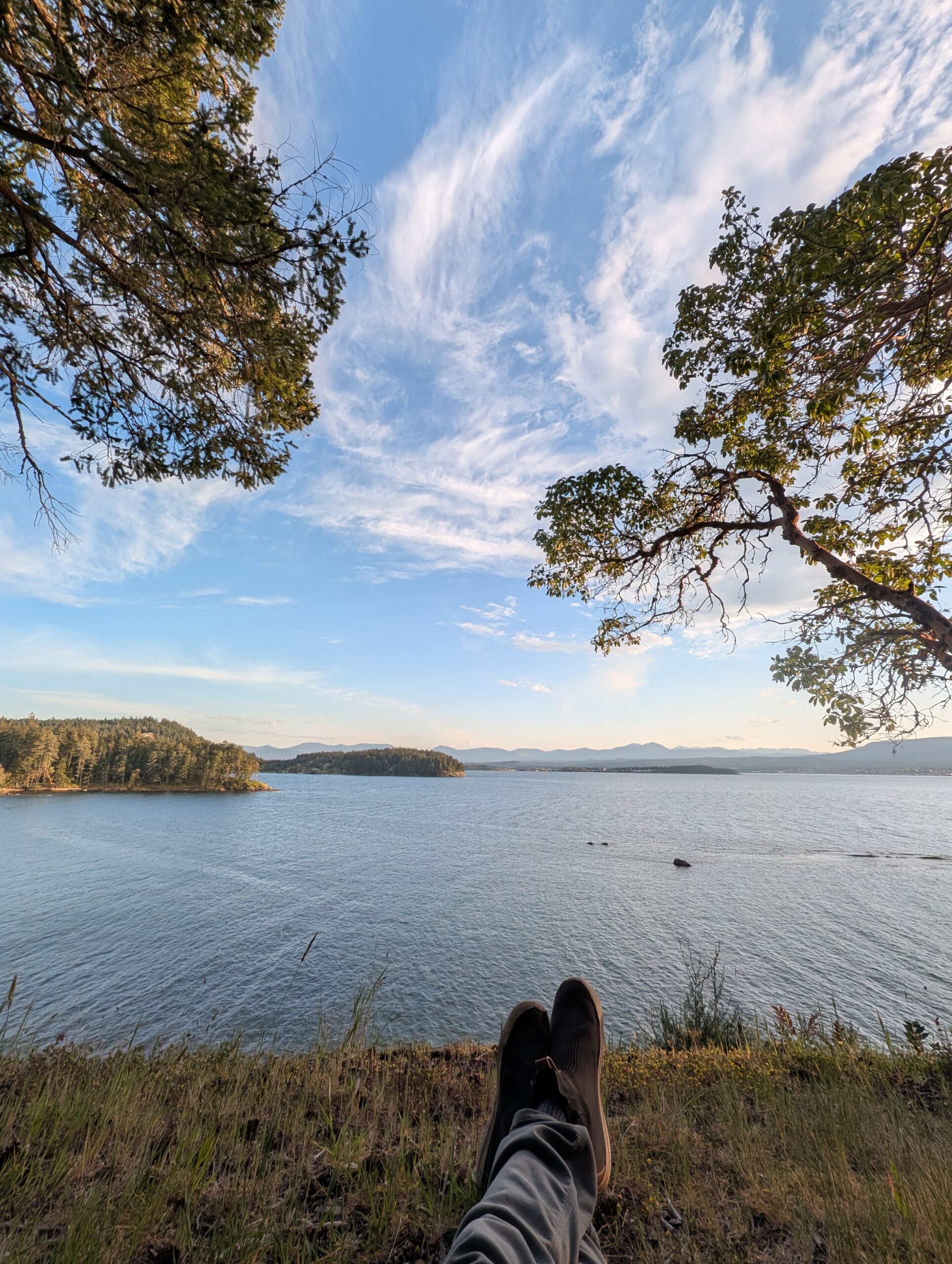
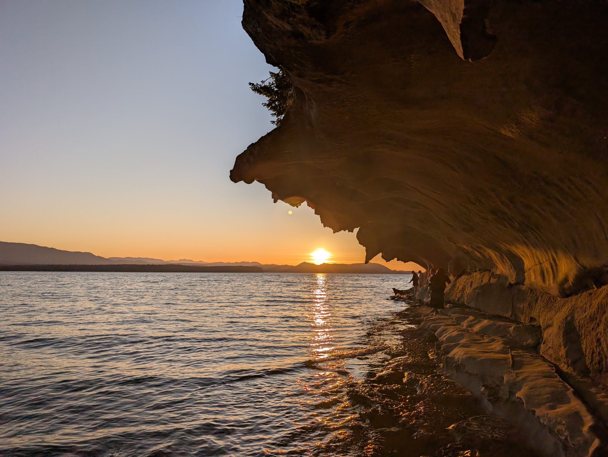
I made coffee and subsequently oatmeal and was packing up before 8am, but I did take the time to wander over to my favourite nearby viewpoint to enjoy the coffee.
Then it was packing up time. I am happy to say I finally got the food rations right – I ate through most of my food bag, leaving enough for the ride home without much extra. Other than beer I had only bought two bananas on the trip at this point; usually that’s where I go wrong: I bring enough food to not need to buy anything, then I buy a bunch of stuff anyway.
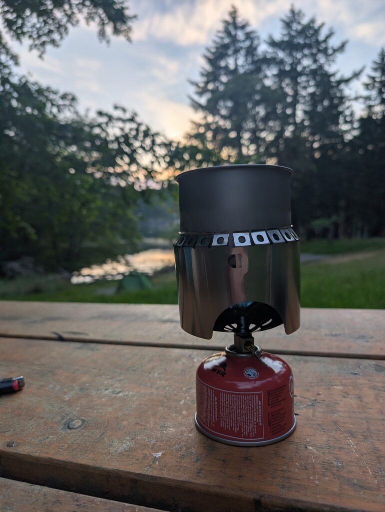
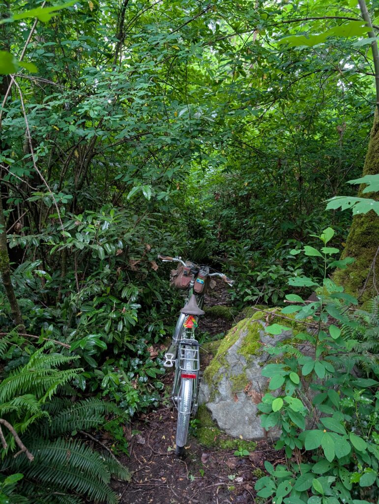
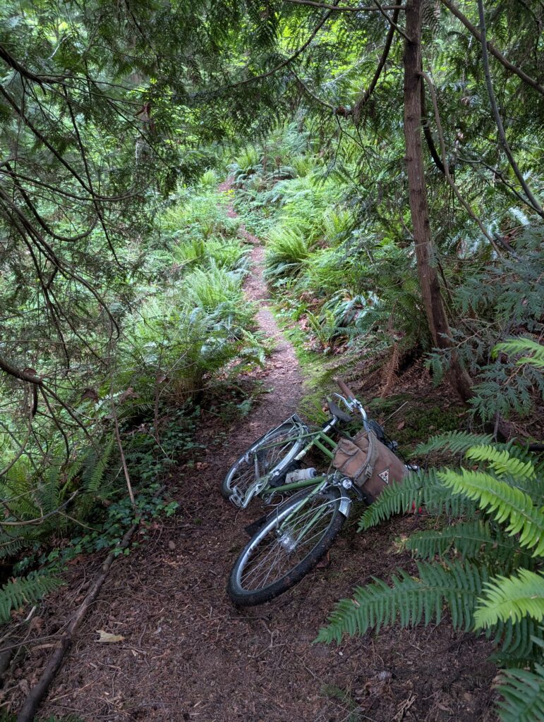
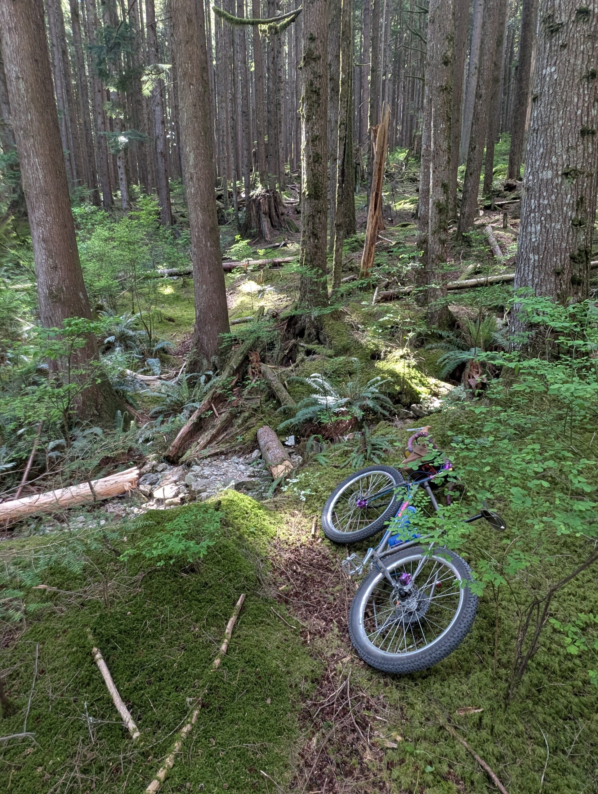
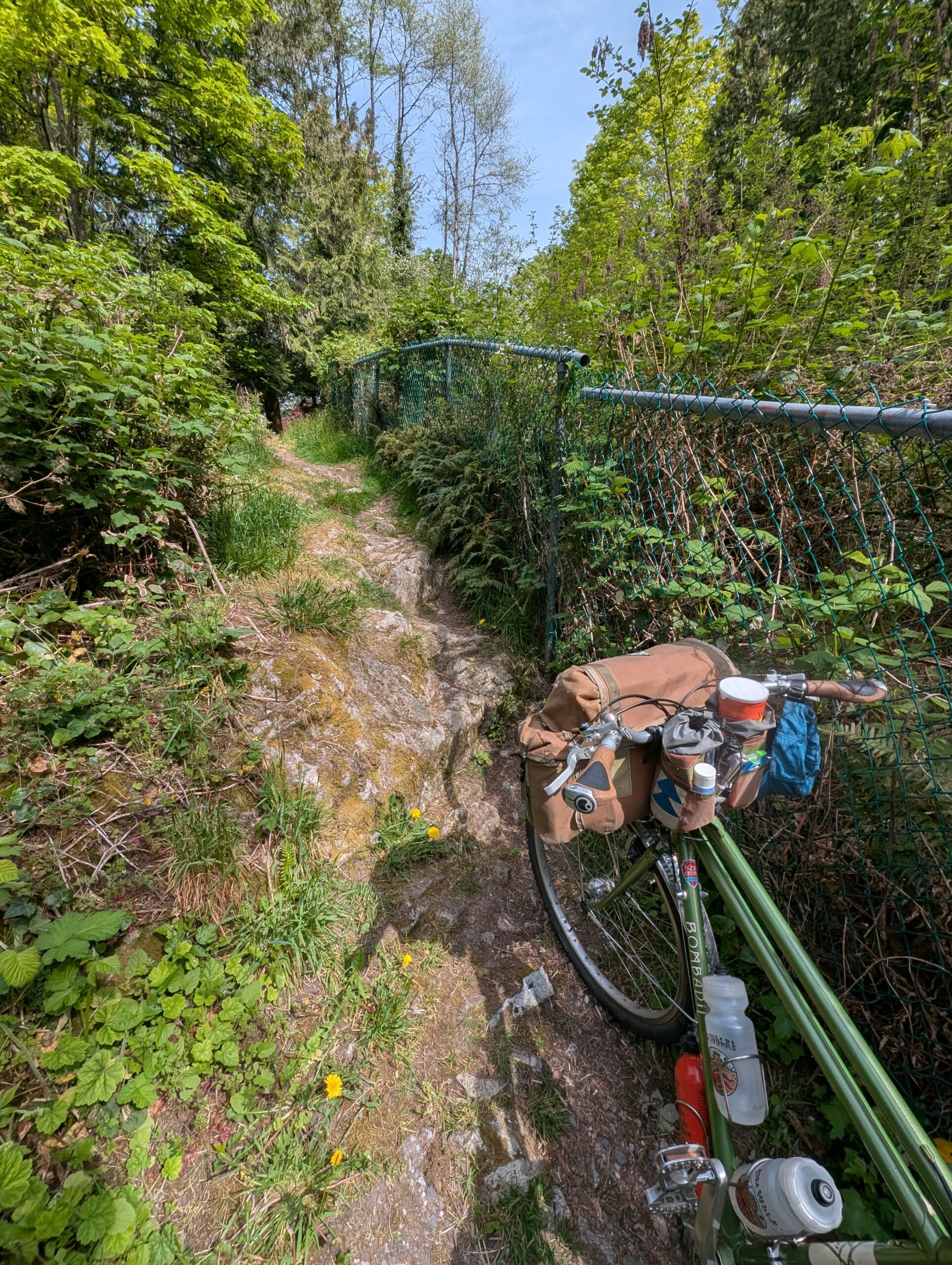
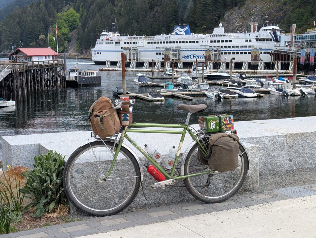
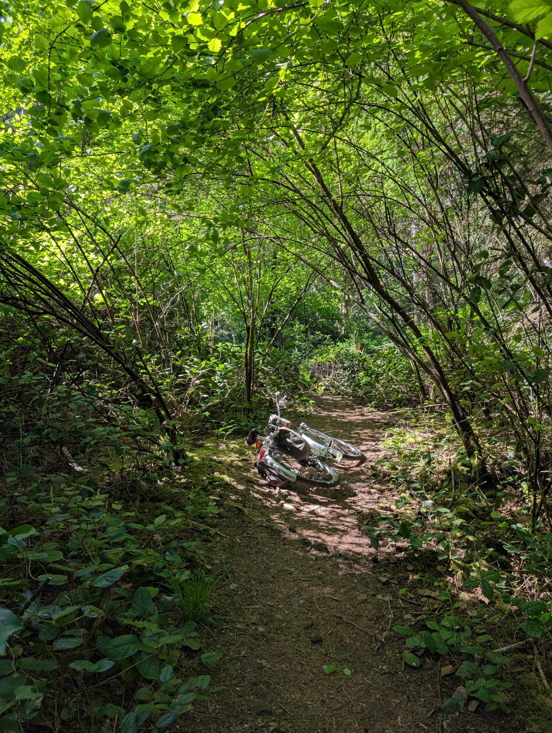
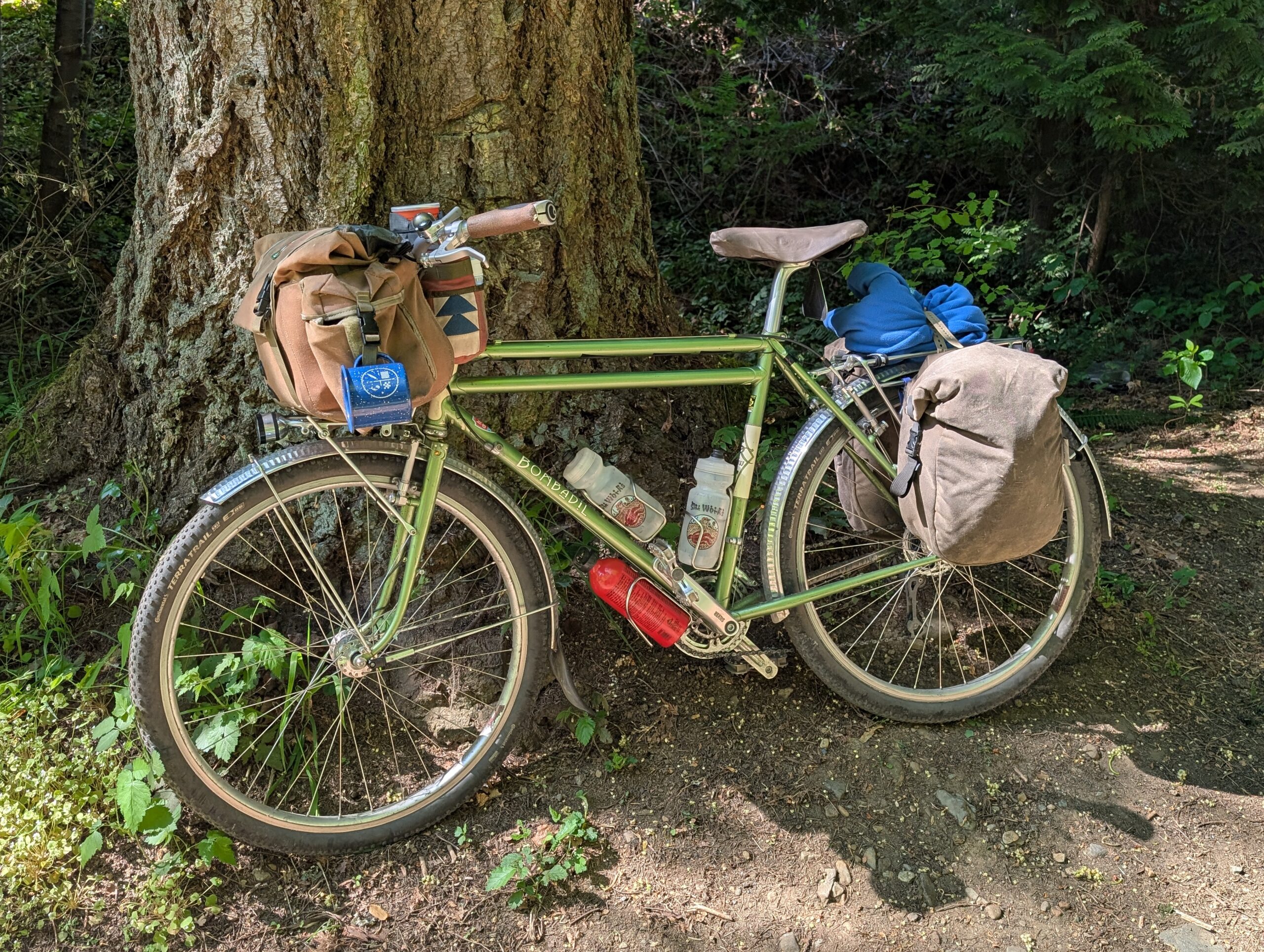
On the way out of the bay I pulled off to get a nice photo of the rig in the moss, below. Thanks to a few recent changes to the camp setup, I can comfortably fit everything I need in the pair of Fab’s Chests I have. Most notably it was a recent change from my bulky MSR stove system to the compact and ultralight, but discontinued, Simmershield setup that all nests into its little pot, including the fuel canister. I also left the Aeropress at home in favour of a more compact pourover setup.
I stopped at the general store on the way out since I was early for the ferry.
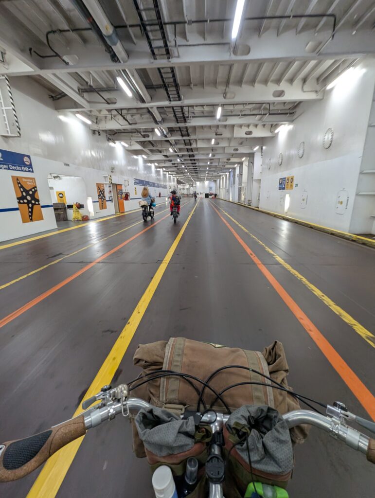
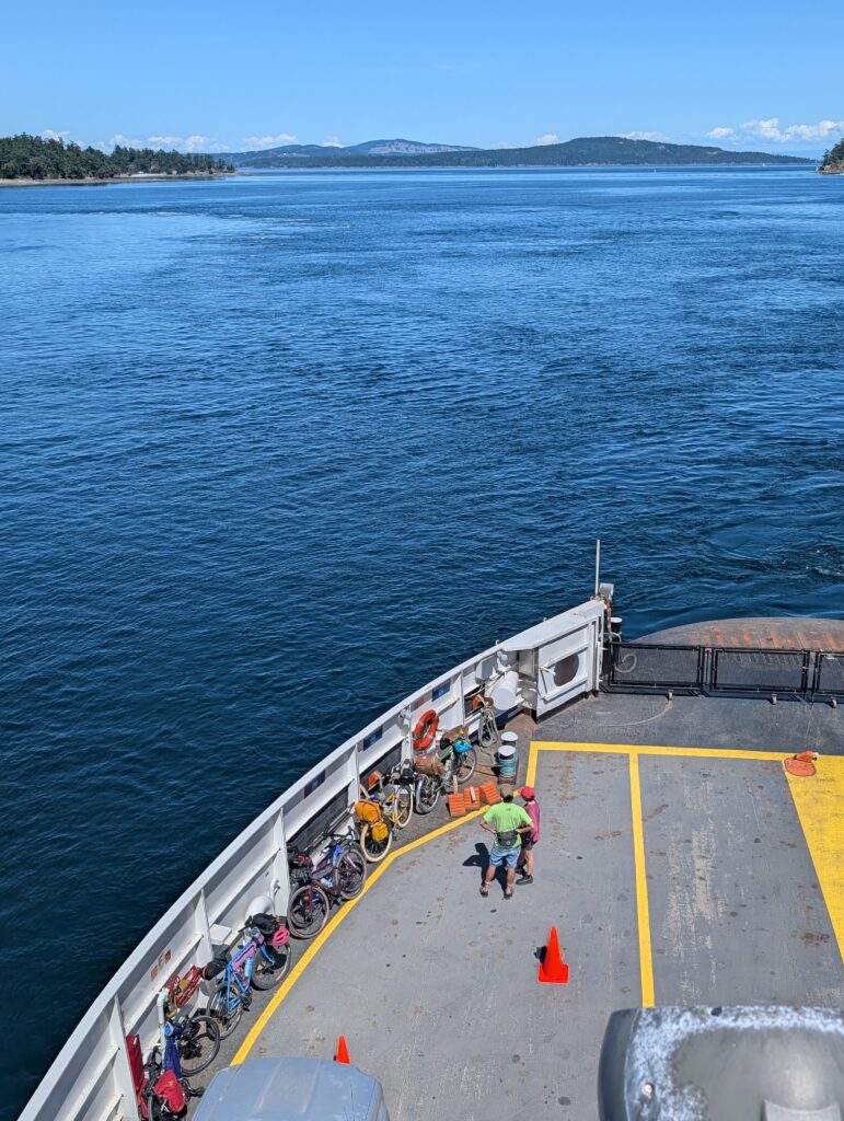
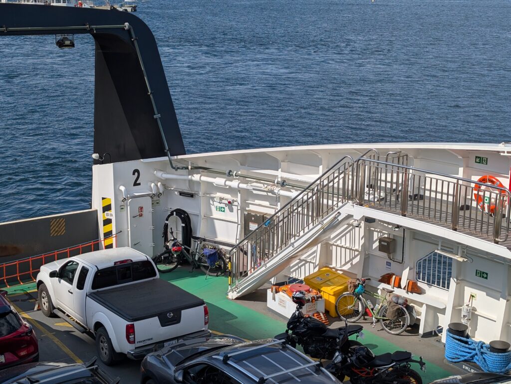
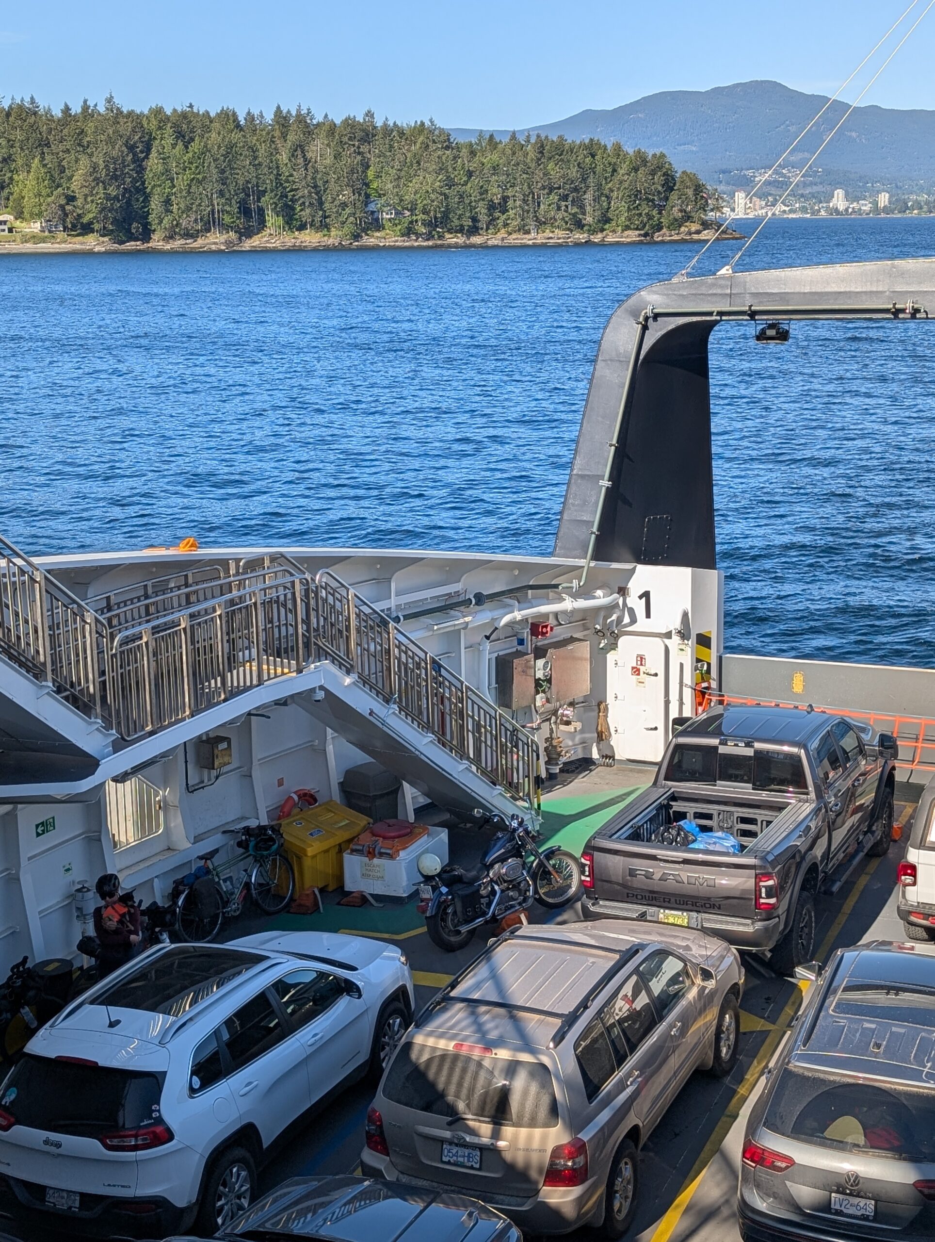
Below are two of the three ferries I would be on this day. First was the small boat just to Mayne Island, where I transferred to one of the Coast Salish mid-size models which took me to Swartz Bay – after an additional stop on Pender Island.
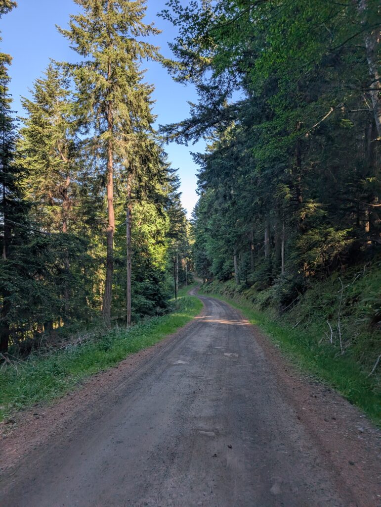
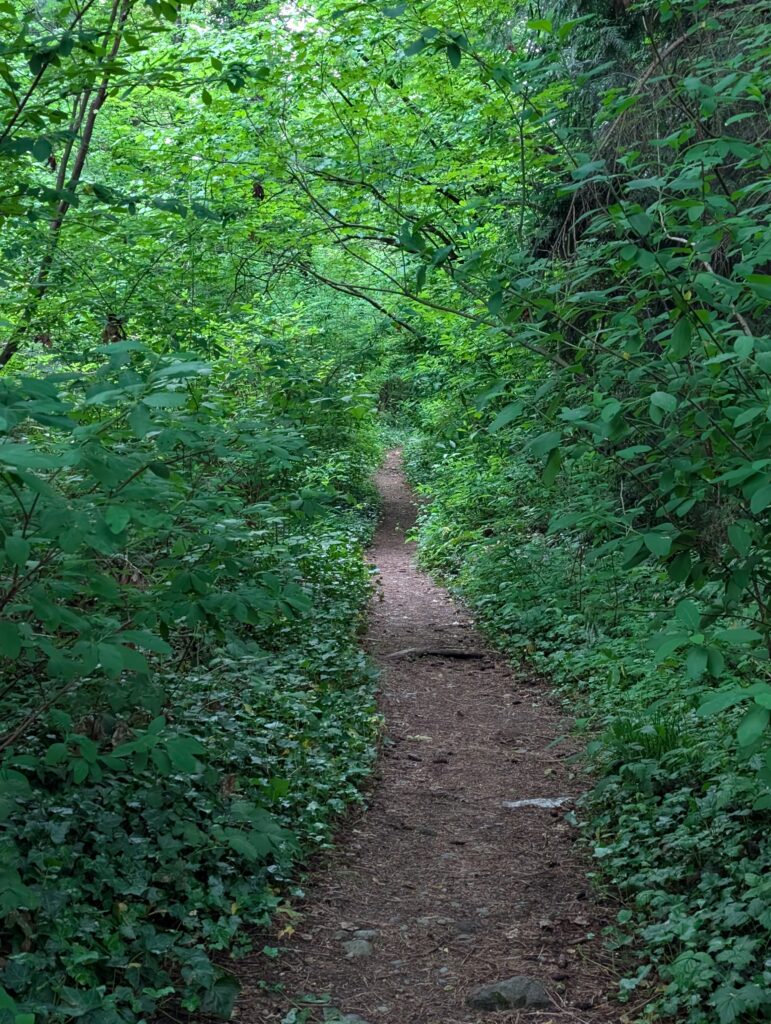
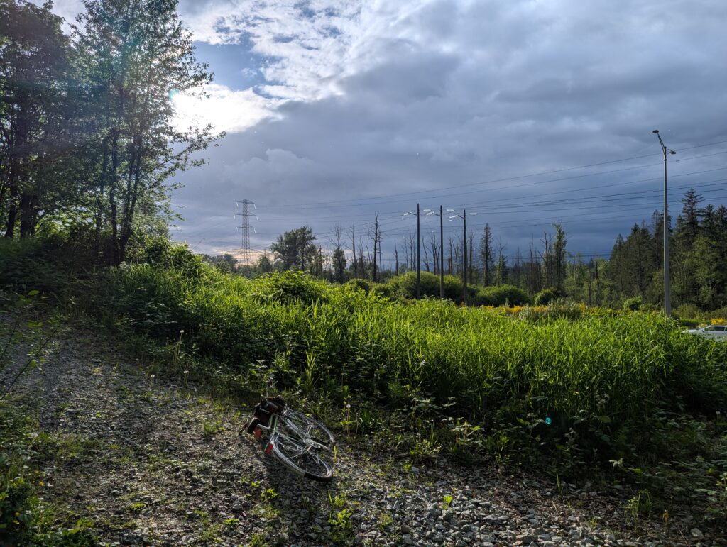
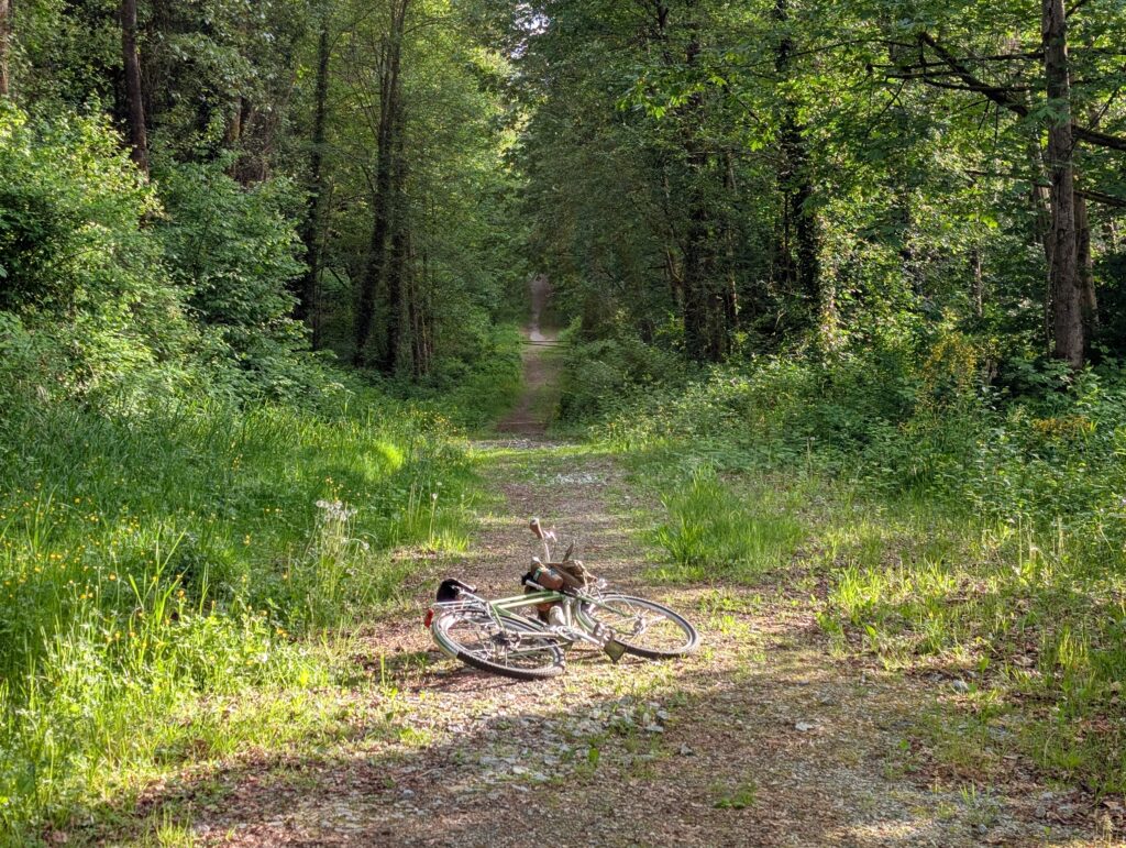
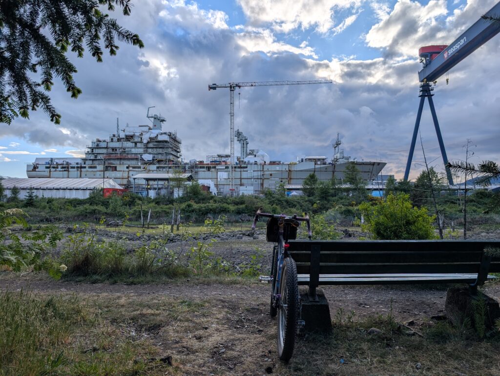
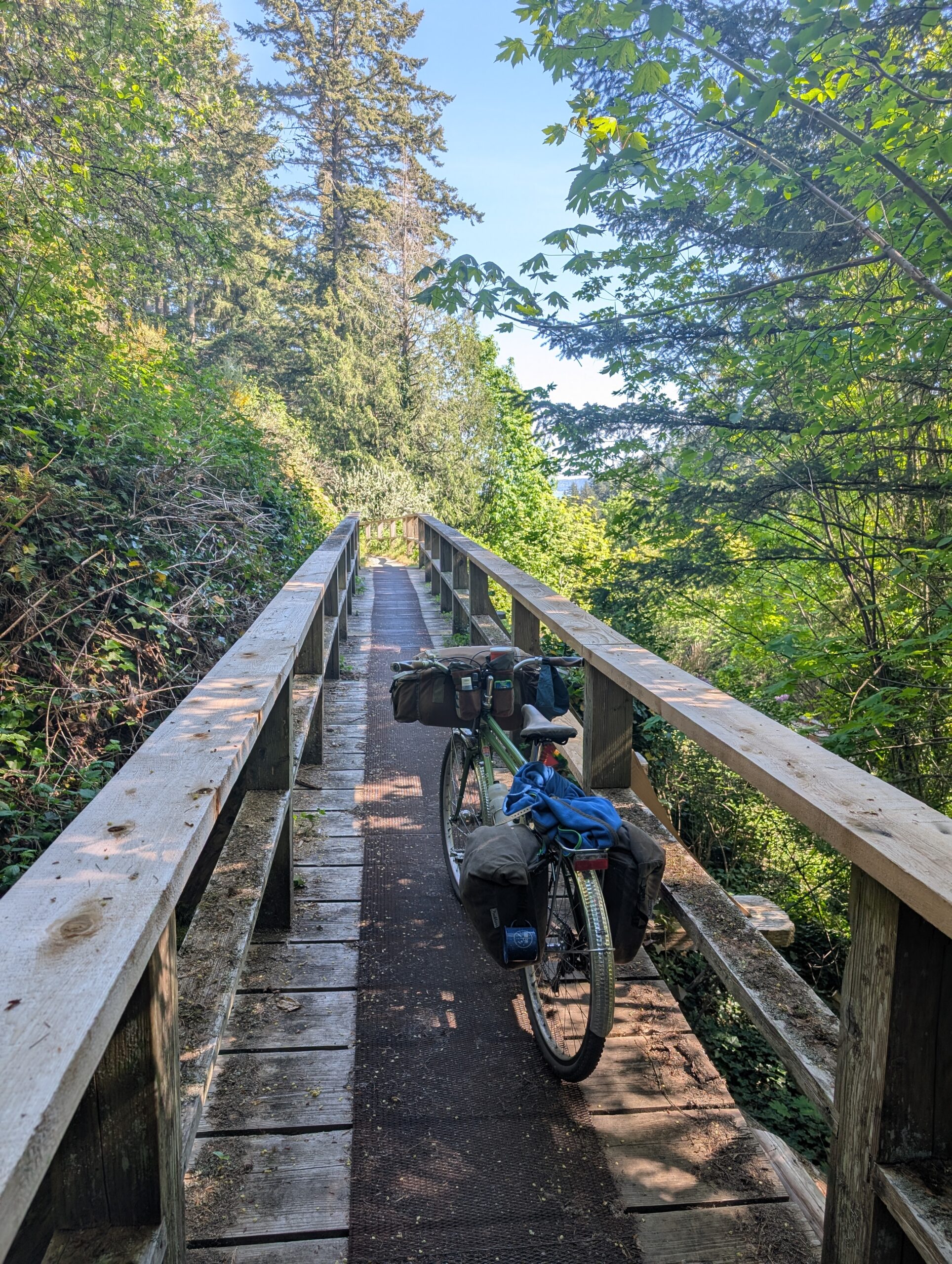
Back on the mainland, I noodled through Tsawwassen and then onto the Boundary Bay gravel trail, where views of Baker were omnipresent:
I chose to hop off the gravel trail and onto the farm roads that took me up to Barnside Brewing so I could get a potato salad and a lager. I consumed both very quickly.
Barnside was 17km into the ride from the ferry, and by the time I reached Queensborough I was another 20km along, so I stopped for more food: this time an A&W burger.
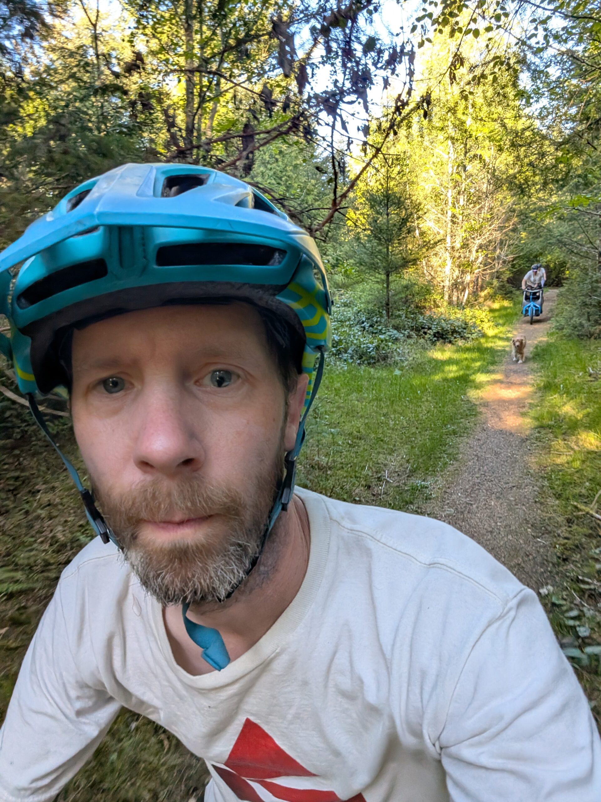
I didn’t take any photos on the remaining ~15km to home, as it was nothing new or interesting. The trip was a great success though – I felt pretty good, the weather was perfect, and I saw everything I’d hoped to see. My camp setup felt pretty dialled – there’s a few small things I’ve noted for next time, but no complaints.
The tally was 177km and 2150m elevation for the trip, a good balance between plentiful riding while not wearing myself out too much. My next planned trip is in just two weeks, an overnighter to Pender Island. My setup will be basically unchanged from this trip, as it will again be a rustic spot without available water, but being only one night will ease the burden.
I recently got home from a three day trip to Saturna Island, one of the most secluded of the southern gulf islands of BC and a personal favourite of mine. I am making a separate post for each day because I’ve got a lot of content!
This was my one full day on the island, and I had really just one plan for the day: to ride the road to the Lighthouse, which runs the length of the island on the opposite side from the ridge line I was already familiar with. I hadn’t been that way and didn’t know much about it. I did know, from looking at the map, it was a decent distance; about 20 km each way. On a gulf island, this is considerably more effort than usual because of the brutal and repeating hills.
Of course, before all that, I brewed some coffee and walked to a nice coastline spot to enjoy it:
Once the coffee was finished, I made oatmeal in the same mug and enjoyed that at the water’s edge in the bay next to camp. After cleaning up I hopped on the bike and shoved off just around 9am. The first leg of the route was to follow the road back to the general store near the ferry terminal, about 7km. Then I had to descent and climb some sizeable hills to get over to the coastline road I’d be spending the next 10km or so on; but first I went to check out nearby Winter Cove:
There is a 0.6km long trail that takes one to the very tip of the point creating this cove, which is a stone’s throw away from south Pender Island. The narrows between the two islands creates rapids as the water flows in and out of the cove with the tides. Below you can see the point in the distance where it appears you could even walk across (nope), and when I got there:
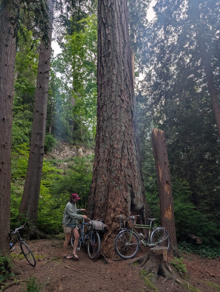
Along the trail I spotted a huge arbutus tree about 40 ft off-trail, and gingerly carried my bike to it for scale photos. I felt guilty going off-trail in such a special ecosystem, but did my best to avoid stepping on plant matter.
Next was the coastal road to the lighthouse park. Much of it was right along the water, sometimes dipping inland (and with the hills to show for it). Below, right: aspirations that never materialized?
The lighthouse park was more beautiful than I expected. Grasslands with no wind protection from the open water, and dozens of barn swallows swooping around overhead.
Most of the gulf islands are surrounded by other small islands, but the water here is quite open; in the far distance is Point Roberts and Boundary Bay. On the rocky point are a ton of gulls as well as a handful of black oystercatchers.
Looking back into the wind, the lone structure dwarfed by the size of the landscape.
Also, this sea lion chilling on the rocks, lulled to sleep by the sound of crashing waves. And back on the road return.
Returning to Narvaez Bay, I stopped in at the cove opposite the campground for a beverage and a view. At this point it was almost 5pm; a solid eight hours out wandering about on the bike! I had spent a good deal of time birding as well; the birds here are so plentiful and diverse. I saw a few new ones for me, such as the western tanager and osprey.
Back at camp I made my second dinner of ramen (different flavour, at least!) and wandered the woods doing some birding:
At this point it was about 7pm, I was done dinner and I had no further plans for the evening. Realizing I had about two hours of light left, I calculated that I could hike up to a nearby lookout, Monarch Head, and get back before dark. I set off solo, and unsurprisingly, didn’t see another person the whole time.
It’s about 1.5km each way, climbing from sea level to a pretty wonderful view of the international waters between Saturna and the San Juan islands. This view is not quite as good as the ridge line from yesterday, but the effort is substantially less also – the trail is smooth and the grade is surprisingly chill.
And then the 1.5 km walk back to camp as the light started to fade. I felt like I really made the most of the day without feeling rushed, and accomplished everything I hoped for and more!
I recently got home from a three day trip to Saturna Island, one of the most secluded of the southern gulf islands of BC and a personal favourite of mine. I am making a separate post for each day because I’ve got a lot of content!
Being one of the least populated of the southern gulf islands among those with ferry service, the ferry schedule is quite challenging: there are only three ferries a day typically, and often they are ‘milk run’ ferries that make multiple stops and run from Vancouver island instead of the mainland. So of the three options, one is typically madly early and one is very late, and then the one remaining sailing is the only reasonable option for me. In this case, it was mid-day: I needed to get from Tsawwassen on the mainland to Swartz Bay on the island first, then catch a 3:25pm sailing to Saturna. This meant either the 12:00 or 1:00 ferry from Tsawwassen. It’s about a three hour bike ride from home.
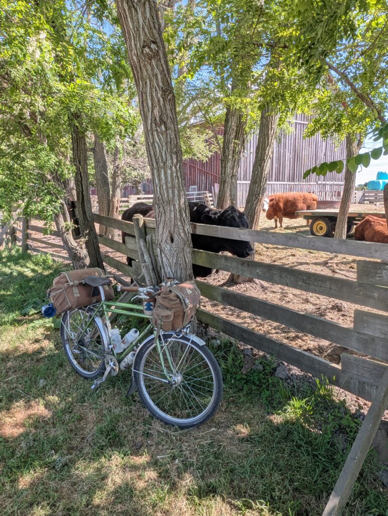
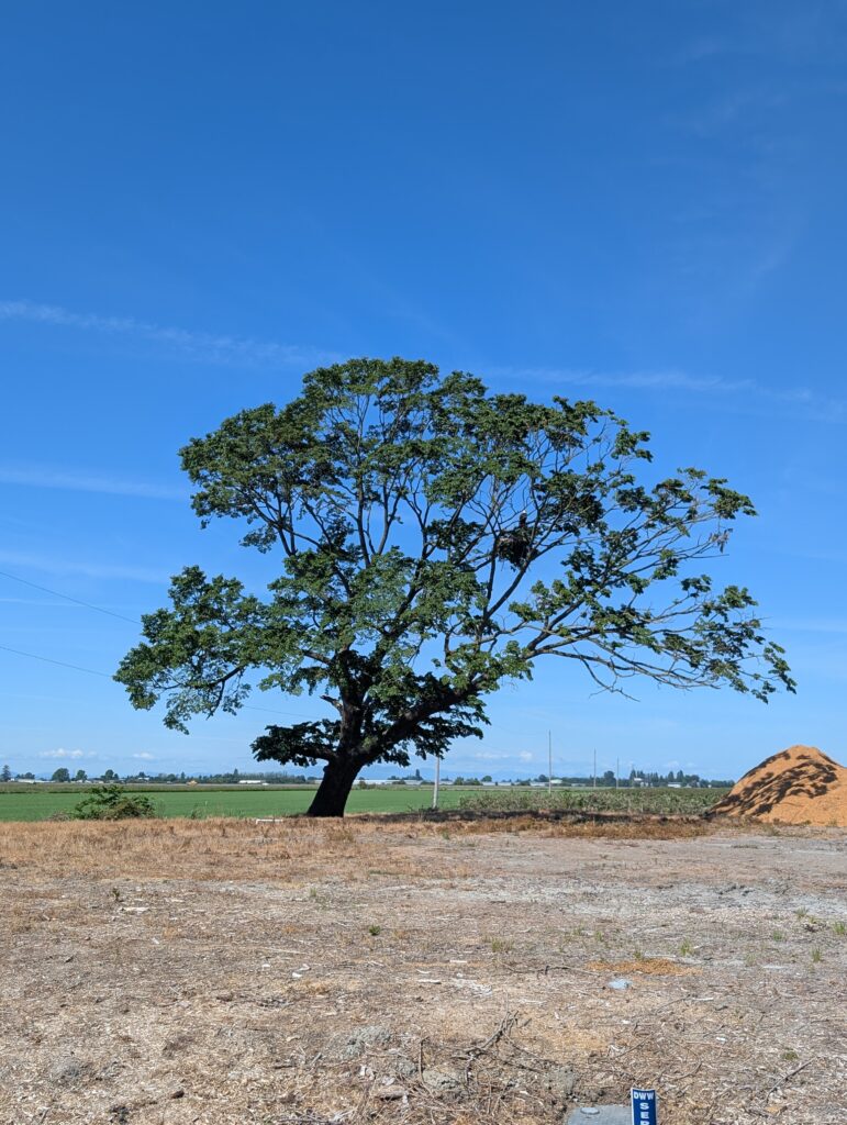
The first half of the ride is getting through town and into Delta, which is mostly farmland where I spend the second half of the ride. It’s 51km total. I stopped to say hi to some cows, as well as an eagle in a lone farm tree:
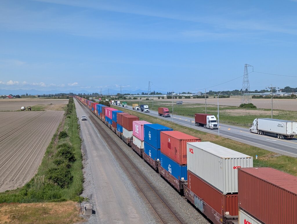
But mostly I kept moving because there wasn’t much time to waste – I worried about a flat tire or something jeopardizing my ability to get to the island at all. Thankfully, no mechanicals for the trip. Below was quite a sight, the double-decker train extending as far as the eye could see while a parade of trucks drive alongside it. A whole lot of goods being transported in this photo.
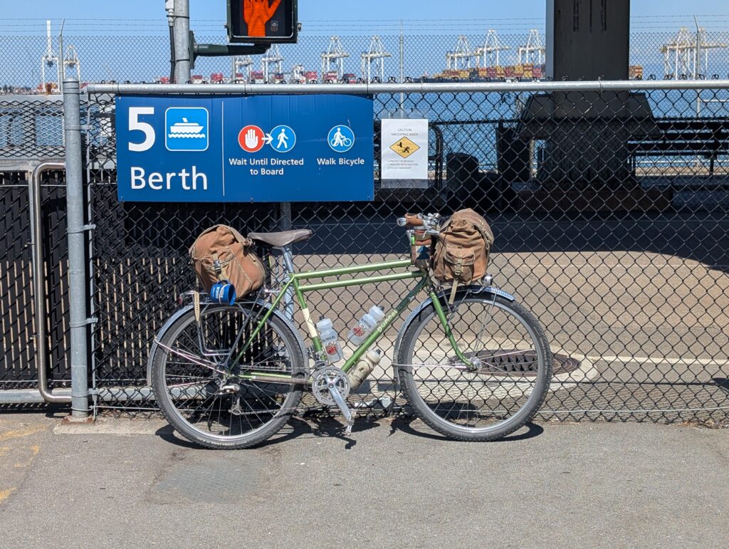
I arrived at the ferry in time to make the 12:00, which put my mind at ease about making the connection on the other side – they don’t guarantee them, and the boats to tend to run late regularly. Here’s the Bombadil all kitted out for the weekend:
My sleep system is all tucked in the huge rear bag along with a variety of sundry items, while the front pack houses my food and clothing primarily. I’ve also got 1L of water in a Nalgene in a side pocket in addition to the three bottles on the frame because there’s no water available at the campsite I’m headed to, Narvaez Bay.
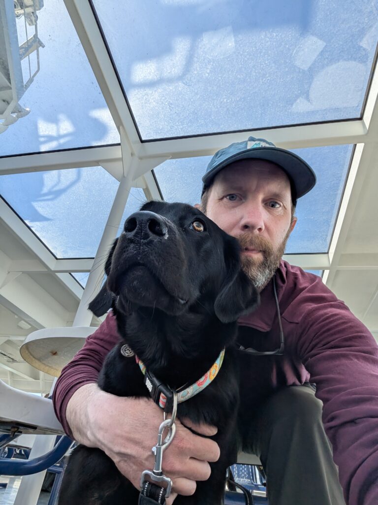
Tsawwassen to Swartz, being a very popular route, has the biggest ferries and the bikes go on the bottom deck where they can’t be accessed during the sailing. I also dog-sat a lovely black lab for 15 minutes while her owner went for food:
Then I was on to the small boat to Saturna, Queen of Capilano. One of the oldest in the fleet, but I have a particular fondness for this boat. The bikes are stored on the open deck as seen below. On the right, the 8km unpaved road from the ferry to Narvaez Bay; most homes are along the other side of the island on a flatter, paved road, so cars are wonderfully uncommon on the ride to camp.
Here’s my spot, site 6, overlooking the small bay where a seal seemed to be always hanging out. At this point it was around 5:30 pm.
And here’s the point that creates that inlet, a really nice spot to enjoy the setting sun. With almost four hours of daylight left today though it was still high in the sky.
After setting up camp and a bit of food, I wanted to head up to the ridge line goat trail, and to my surprise, friend Eleni who happened to be camping here this weekend too, was game to join. It involved riding about 1/3 the way back to the ferry (almost all uphill), then up a steep and rough dirt road, then a bit of a bushwhack to access the goat trail. It’s a pretty tough ride for being only about 5km each way.
Thankfully, the promise of a strong pay-off comes pretty quick once in the meadow. There have consistently been goats the few times I’ve been up here, and we saw a small group as we approached (one visible in bottom, left), though they took off and didn’t return once they saw us coming.
This is the spot I wanted us to get to, which is not too far along the ridge. The trail keeps going for a few kilometres up to a 400m peak, but the view doesn’t change dramatically from this. Panoramic views of the San Juan islands on the other side of the border along with watching ocean currents collide.
The ride back was much faster thanks to being all downhill. Back and camp I fired up my new Simmershield for the first time and made ramen while the sun approached the hillside.
And here’s camp, with my not-so-taut tent which I later fixed. It’s a Durston X-Dome 1+ and this is just my second trip with it, but I really love it already. Eleni has the same, as can be seen in the distance. I climbed into bed around 9:15pm, before it was even fully dark, and passed out pretty quick.
This one’s out of order because it was the day before the Caulfield loop I’ve already posted, but oh well. This ride was up the Seymour Valley once again, this time with a tape measure in hand and a plan to measure the big Sitka spruce trees I was familiar with in the valley. Most notably this includes the pair of ~500 year old examples along Rainbow Creek near Seymour Lake, but also a big fella I’d noticed just about 30m off Fisherman’s trail too.
Here is that latter Sitka; not bad right?
I measured that tree on the way out but continued on to Spur 4 towards Seymour Lake. The photo below I’d stopped to listen to and observe some birds, turned out to be a Hammond’s Flycatcher so I added a new bird to my personal list! Took a while to find them, but then got a good show.
Near the north end of Spur 4 there’s a tree called Bigfoot, and I know this because it has a placard saying as much. It’s an impressive red cedar; the one in the photo below left is a different, slightly smaller one about 50m before it. However I peered into the woods here because I figured if there’s two big trees, there’s reason to believe there will be more. And sure enough – there’s a lot of them in this spot!
I climbed up the slope and checked out a handful of them before returning down to my bike. It was a bit of a side quest that I hadn’t budgeted time for, so I figured I’ll come back for a more proper exploration. But for now, I looped around Bear Island and onto Hatchery Trail:
This gloriously picturesque trail leads to Rainbow Creek trail where my favourite pair of old Sitka Spruce reside. But before I got to them I had to take a moment to appreciate the rather substantial size of this creekside tree:
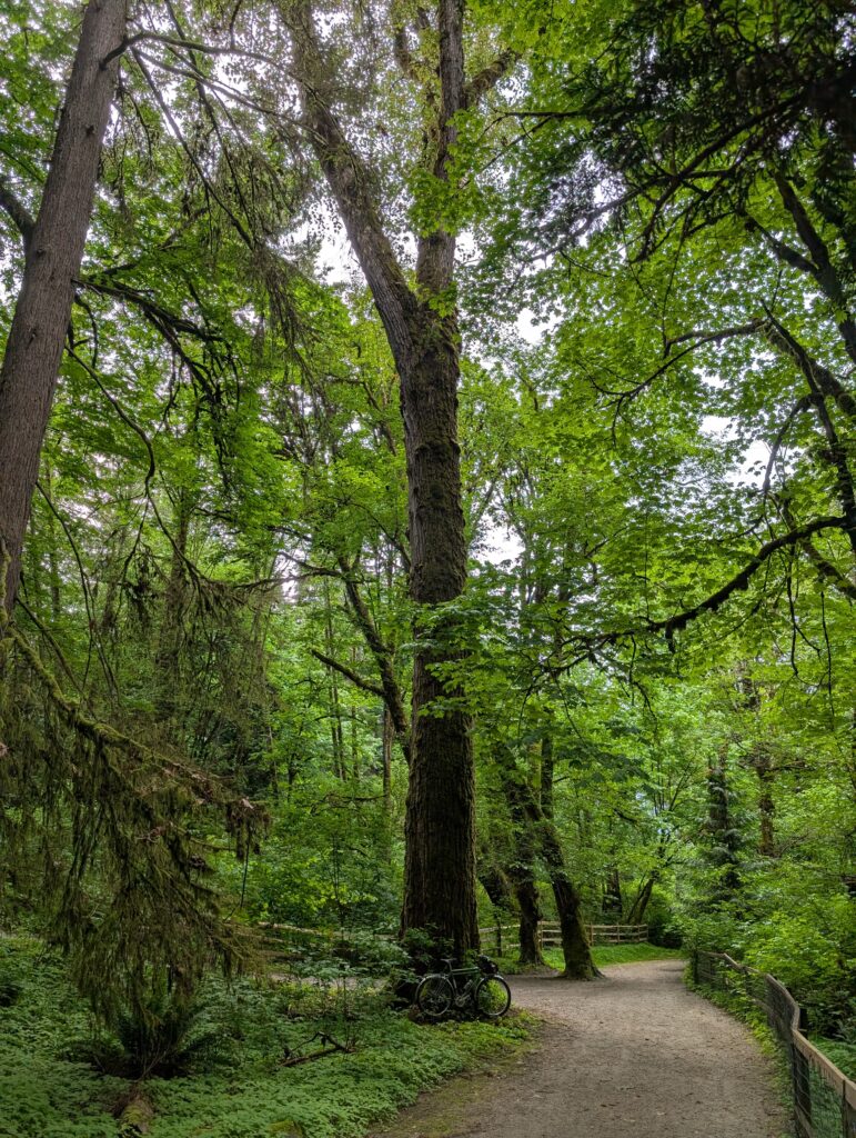
I did measure it, but it wasn’t as substantial as some others in the area. Onto Rainbow Creek trail, and shortly before reaching the old spruce trees there’s this immensely green section of trail that is probably the most beautiful bit of trail I’ve ever experienced. Every time I am in awe, even though I’ve ridden this dozens of times.
text
First I measured the tree that sits across from the one with the viewing deck; it’s clearly the smaller of the two but I would say its presence is more dramatic with more substantial branching covered in hanging moss. It’s certainly no small tree as well, as you can see by my insignificance beside it:
Here’s as best as I could do at capturing its presence:
The Bombadil is barely noticeable among these giants.
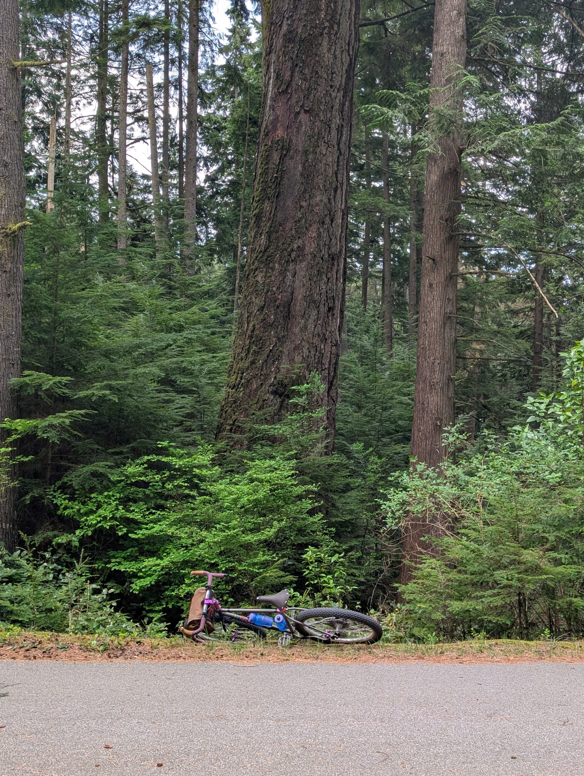
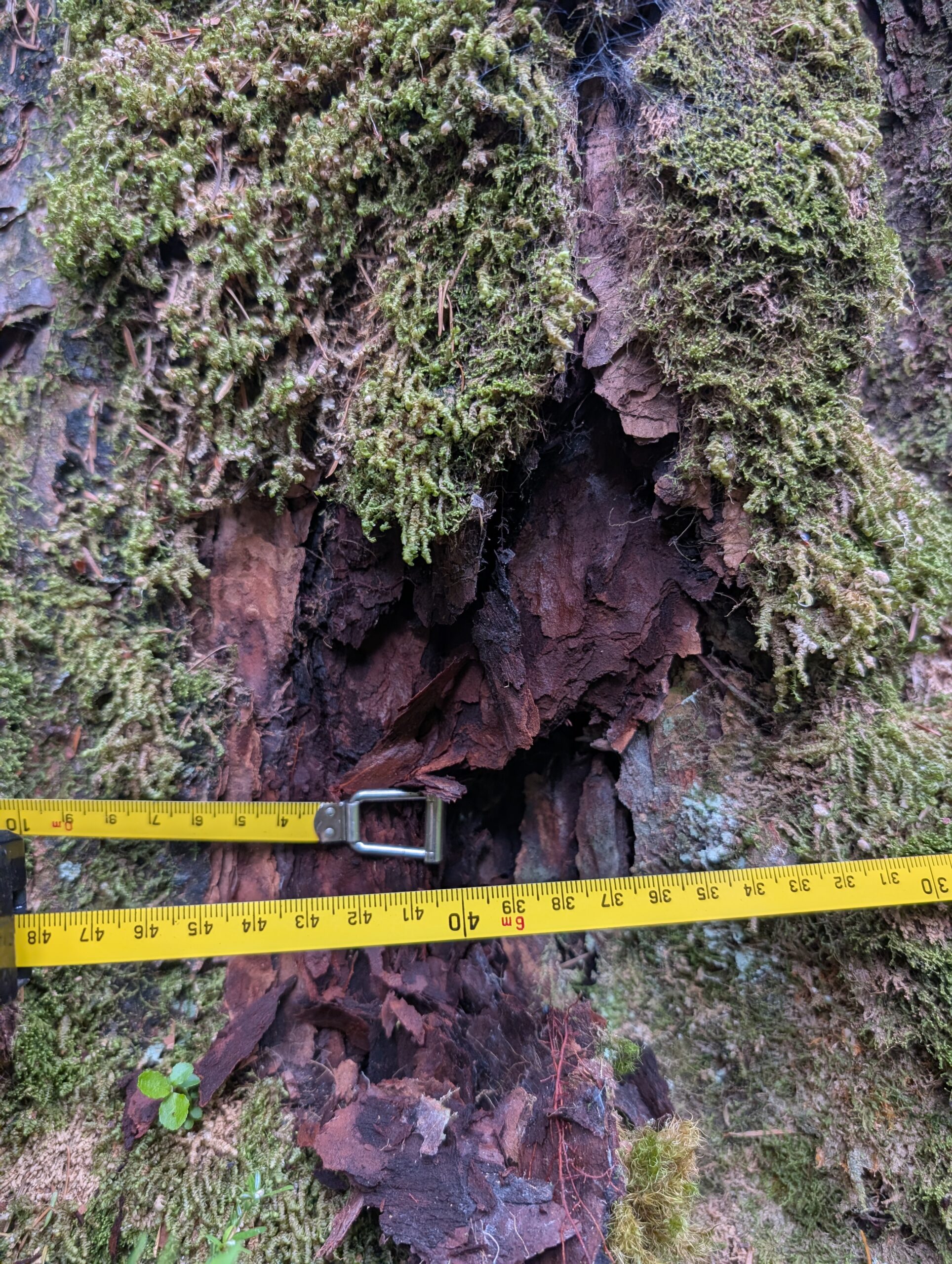
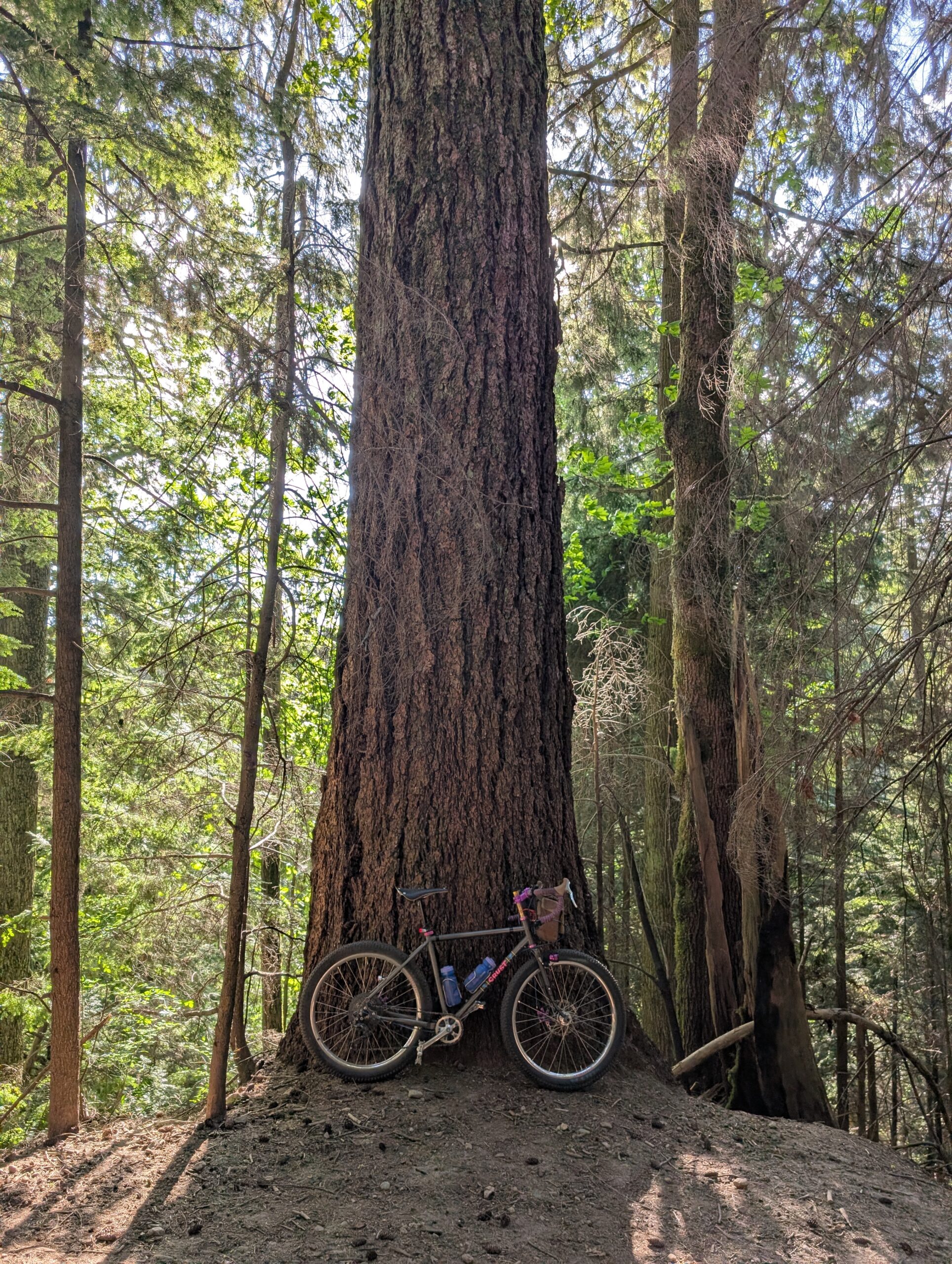
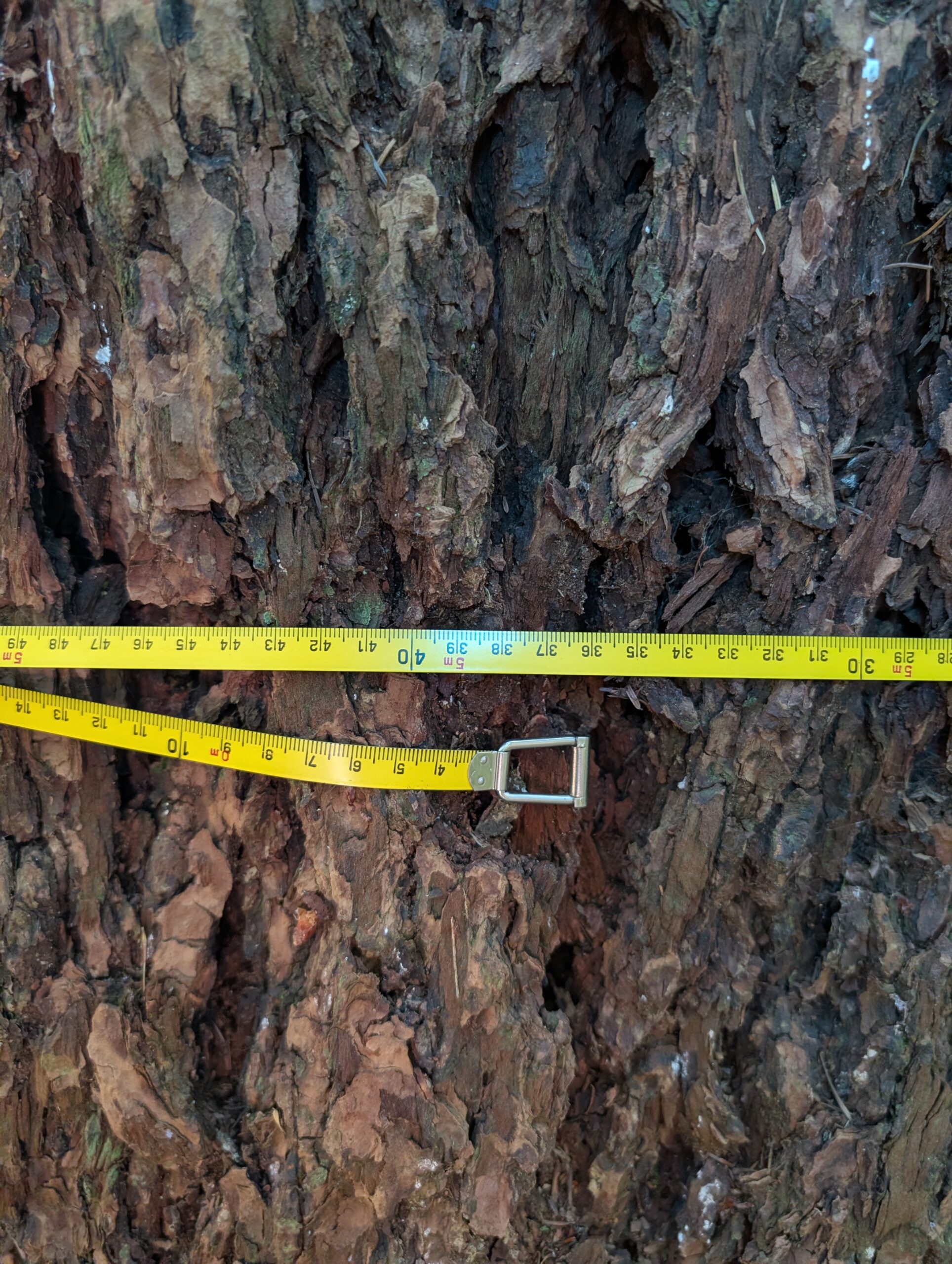
On the way out along the parkway I stopped at this large tree I’ve noticed before – a hemlock, I believe – and gave it a measure as well. It actually measured up over 2m diameter which is quite significant for a hemlock around here! Thousands of people ride past this tree each week, so it’s by no means a secret, but still felt significant.
Onwards I went towards home. Below is near the mid-valley lookout. I didn’t take any more photos on my way out because I’ve pretty much photographed everything there is to photographic along Fishermans’ trail. But it was a beautiful ride, about 55km all told.
I have a bunch of routes set to public on RWGPS which can be readily found by searching by anyone. I tend to set my routes to private if they are WIP or not really something that I’d recommend someone try – ie, maybe they are just a means to get to somewhere that is only interesting to me. I’m not too careful about it, as the views on any given public route is typically very low – maybe 20 views.
So when we were at the lookout that this route is built around and a cyclist clamoured up the nearby steps carrying their bike, and quickly discovered they had looked up nearby routes and came across mine, I was gobsmacked. Turned out they had a plan for a Bowen Island ride that fell through and looked for alternatives nearby – and Caulfield Loop was there. Thankfully I had added a decently accurate description (hike-a-bike involved!) and some POI’s to the map because I intended for it to be ridden by others, but the area around the lookout is pretty brutal, and to be honest I’d never considered what it’s like to ride in reverse direction (spoiler: not good!).
I rode the Bombadil this time, having done this route on the Evasion previously. Here it is along the huge retaining wall next to the highway at one point:
The approach from the Lion’s Gate bridge traces up to near the highway and then follows along it, for the most part – taking quieter streets and a few nice little trail connections. There’s a long staircase on a creek crossing but the slope is gentle and there’s a parallel path to roll the bike along, so it’s not unpleasant at all. It passes through an elementary school ground with exposed rock that is fun to ride – and no doubt fun to play on for the kids.
I like to have a beer at a scenic lookout personally, and this route is well suited to such pursuits with a liquor store en route shortly before the lookout to ensure a cold beverage. From there it’s a couple blocks of pavement followed by some charming trails that are a bit awkward to carry a bike along before you’re at the viewpoint.
And here it is. There’s no bench, though I’ve thought about trying to construct one. Next time I’ll try to remember my camping chair.
We sat around and had snacks and our lagers for a while, then unexpectedly a rider climbed up the stairs we’d soon be going down. As noted at the beginning, they had found and decided to try my route, aware there was hike-a-bike but was not expecting THIS amount – fortunately, the uphill slog was just about over for them, and they were in surprisingly good spirits for what they’d just climbed up. Going down definitely has its challenges too, but at least sections are rideable that are too steep to pedal up. It’s steep enough I dropped my bike once (see below), but once this lookout trail wraps up, things get better. It’s still rocky and steep in spots and only a MTB with good rider should attempt to ride it all!
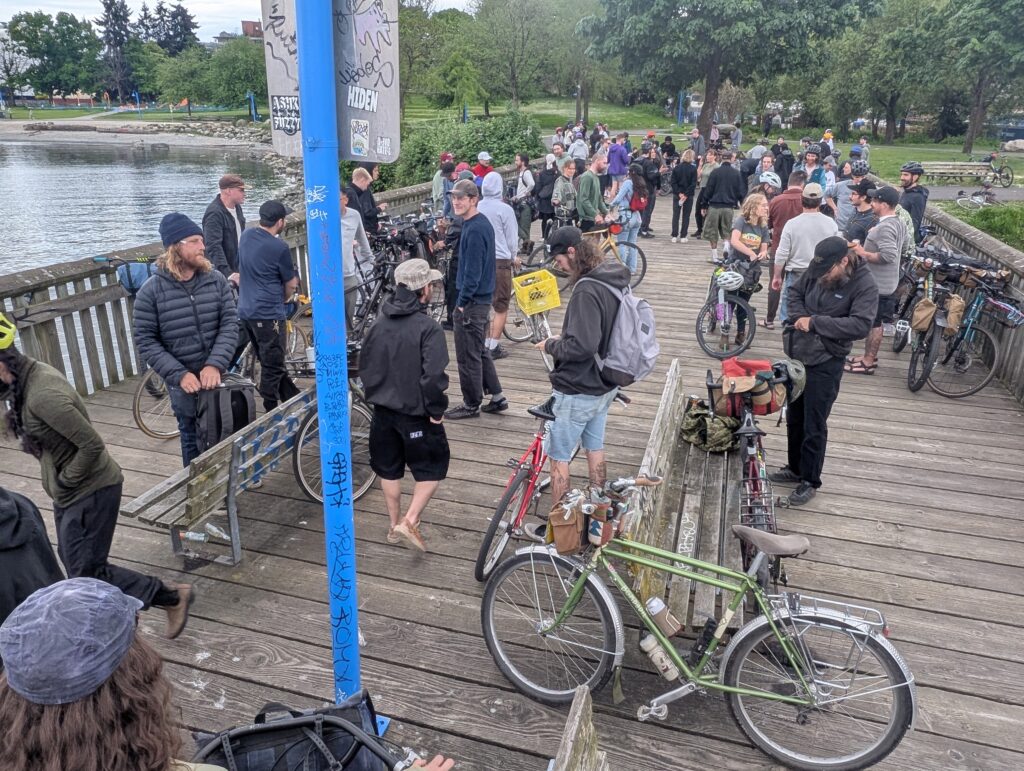
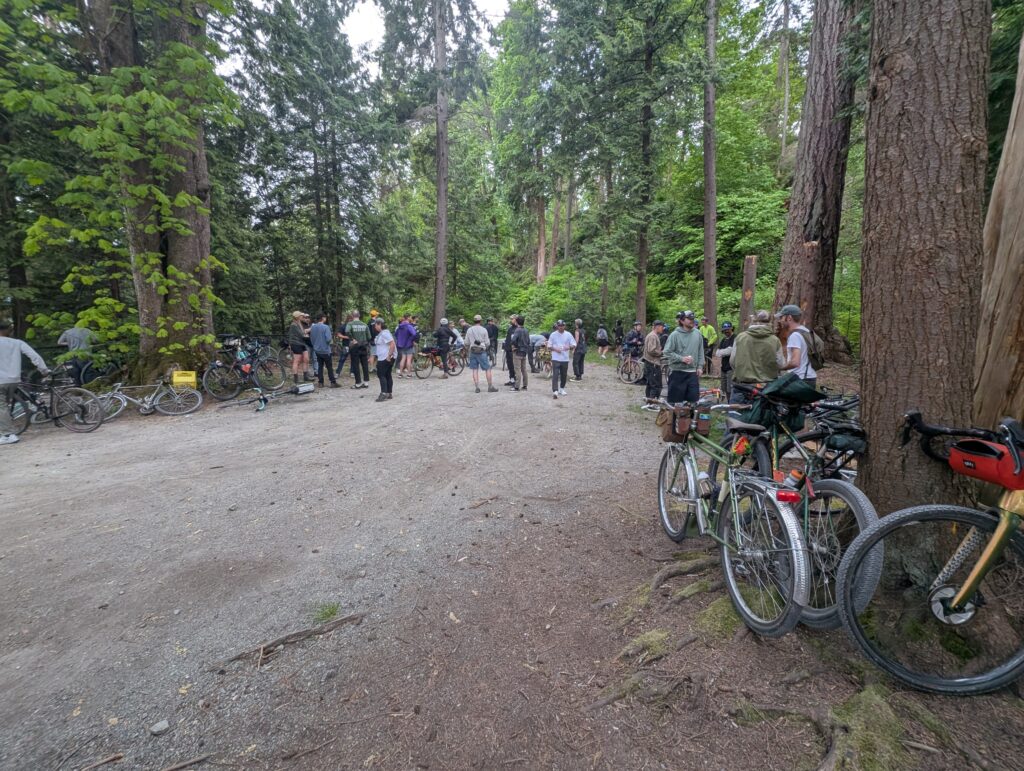
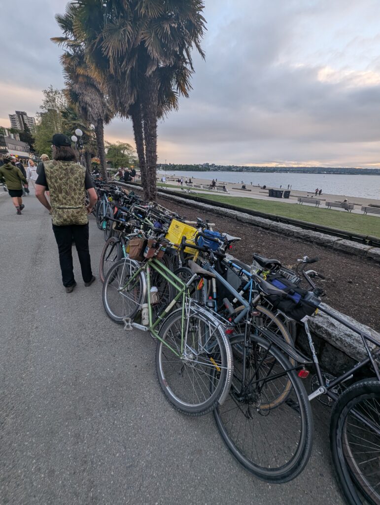
A friend Sam, whom I met a couple years ago when I bought a pair of tires from him, has an Instagram account Hotdogzonwheels which has gained a lot of momentum over the past couple years. We share a lot of friends in common, and the ‘Hotdogz’ crew is largely millennial skaters who have taken to the alt-cycling scene. This growing platform was put to use organizing a group ride on a Thursday evening with risk of thunderstorms, and yet well over 100 people showed up, because there are simply too few social opportunities for the non-competitive bike geeks around here.
We rode around Stanley Park, opting for gravel where possible.
The ride finished along the beach at a hotdog stand that Sam had coordinated with to accommodate the surge in customers. It was a massive success, at least from my perspective, and was great to see so many friends in a single evening.
My latest iteration of the Burnabop route series is a single ~57km loop that uses a couple sections of particularly low-traffic trail, and one short section has been quite brutal – its maybe 150m long but features several creek crossings, steep and muddy slopes, and can be so overgrown it virtually disappears. So I’d purchased some hedge trimmer shears for the purpose of adopting this section of trail.
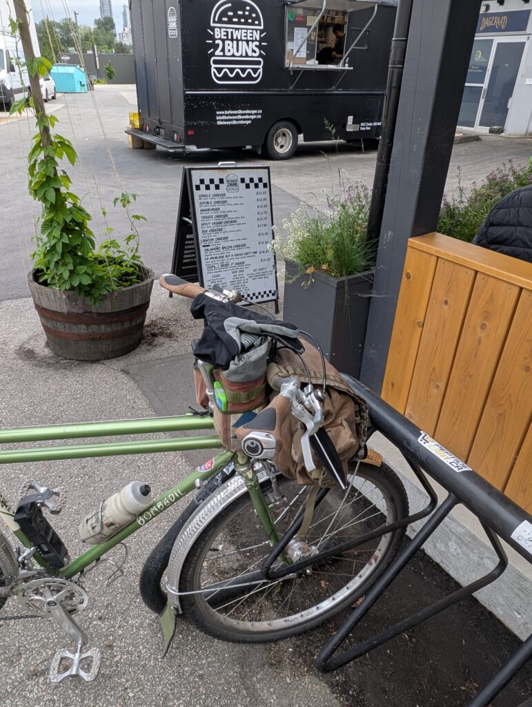
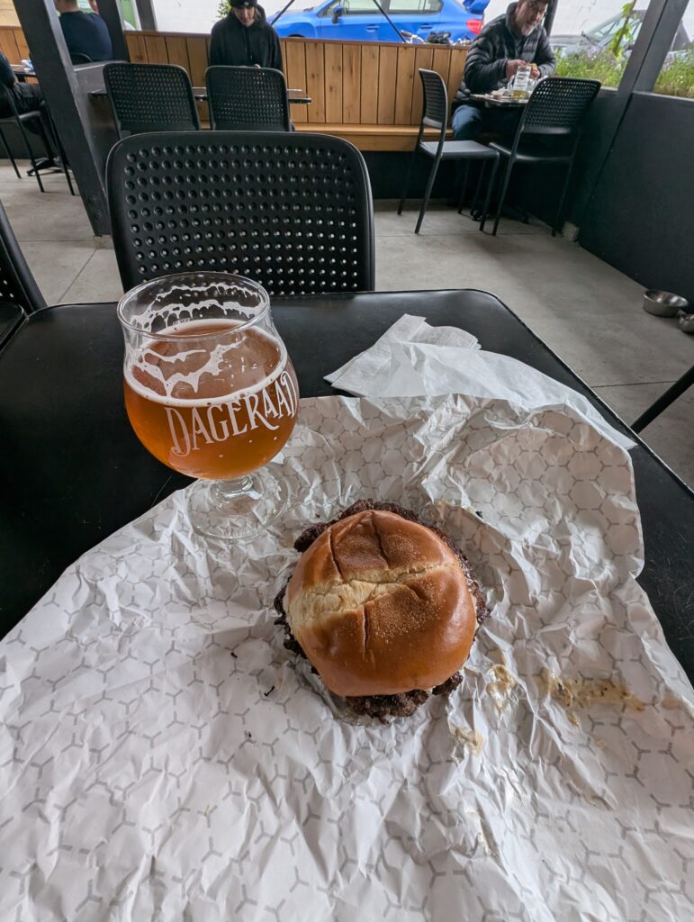
But first, I needed to fuel up, so I stopped at Dageraad for a burger. I rarely eat beef; in fact, quite literally the only beef I eat is this smash burger when I visit Dageraad during a ride.
The trail was just a couple km away after this, and I arrived to find it even more overgrown than I’d feared:
I also underestimated how much work it is to shear! As I write this a couple days later, my forearms are still sore. I hadn’t sweat that much in a good while – including riding. Below are a couple spots before trimming; it didn’t look a whole lot different afterwards because I failed to bring a rake to clean up after myself – but at least stuff isn’t growing into the path for now, and I can go back for a second pass sometime.
Below are a couple sections of trail on the route that are past the rough section I’d been working on – these sections need nothing, they’re perfect as they are! And I was very pleased to see that someone had come through with a chainsaw and cleared the fallen trees since I’d been through last. The heroes of the forest!
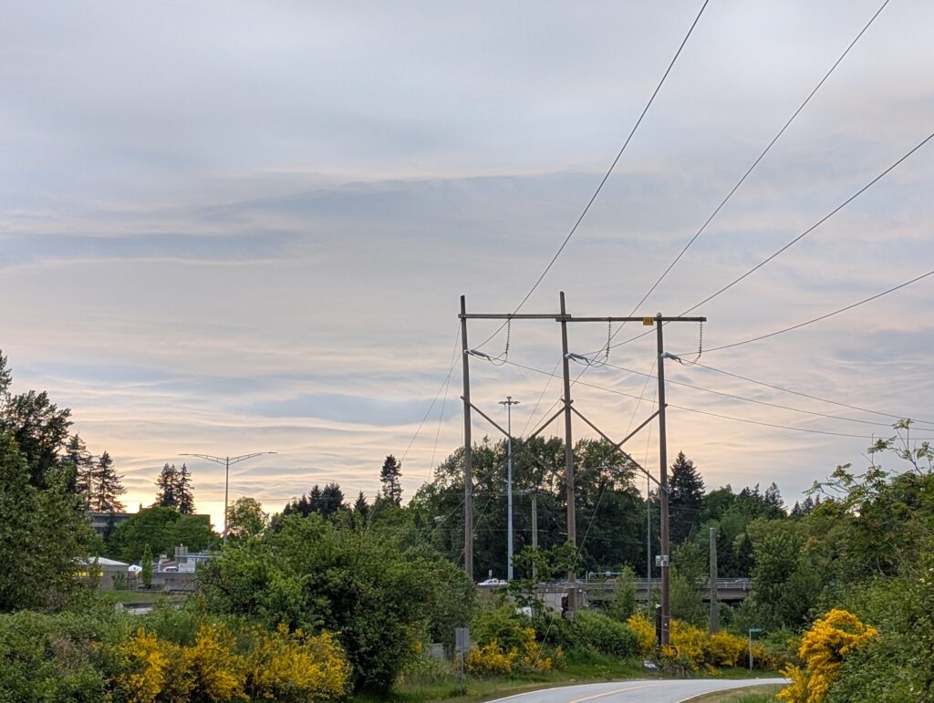
I popped out of the woods to a pretty dramatic sky which I wasn’t expecting.
I was then on an old road that leads a short ways to Robert Burnaby park, where there are a couple huge black cottonwood trees I wanted to measure up now that I had the hardware to do it.
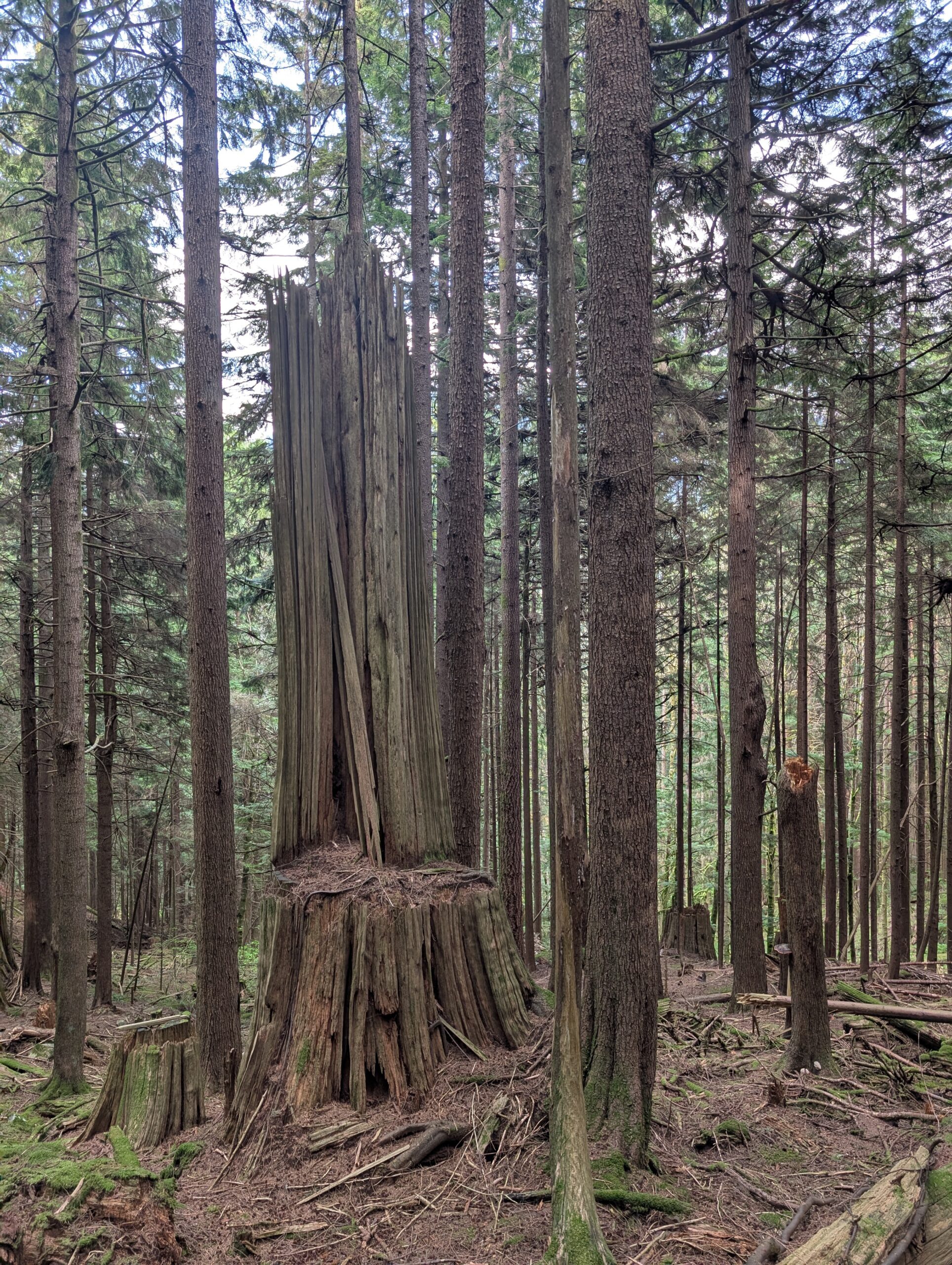
There are also some decent size hemlocks in here too (below left) that might be older than the town they’re within.
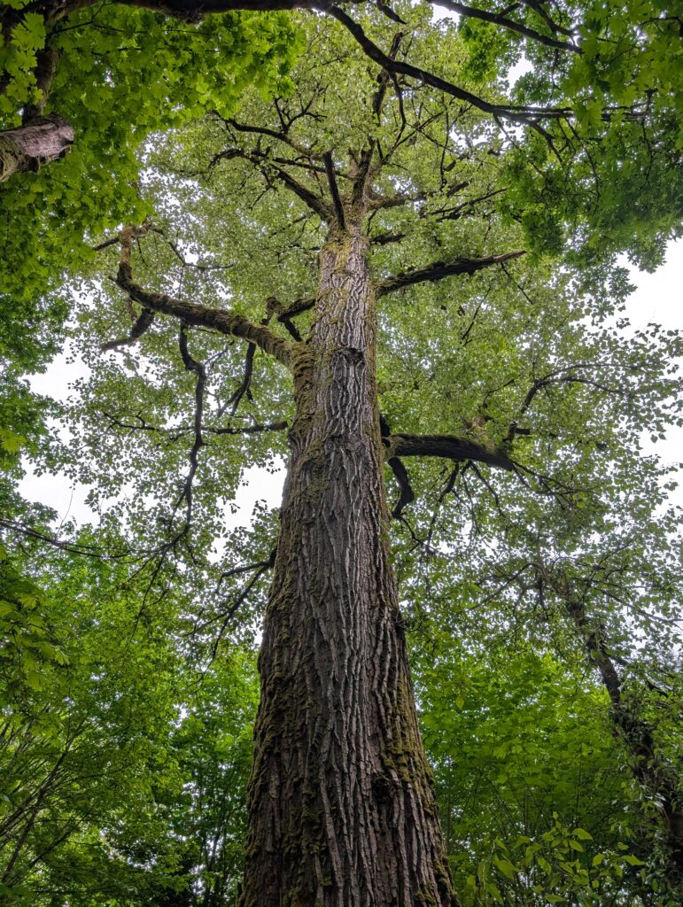
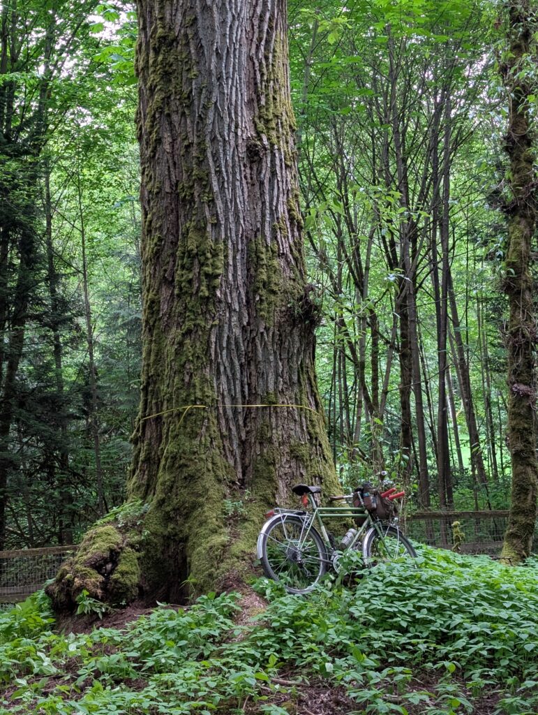
I measured two cottonwoods, with the one pictured below being the largest at 1.83m diameter. I submitted it to the BC big tree registry and it’s been verified for the list!
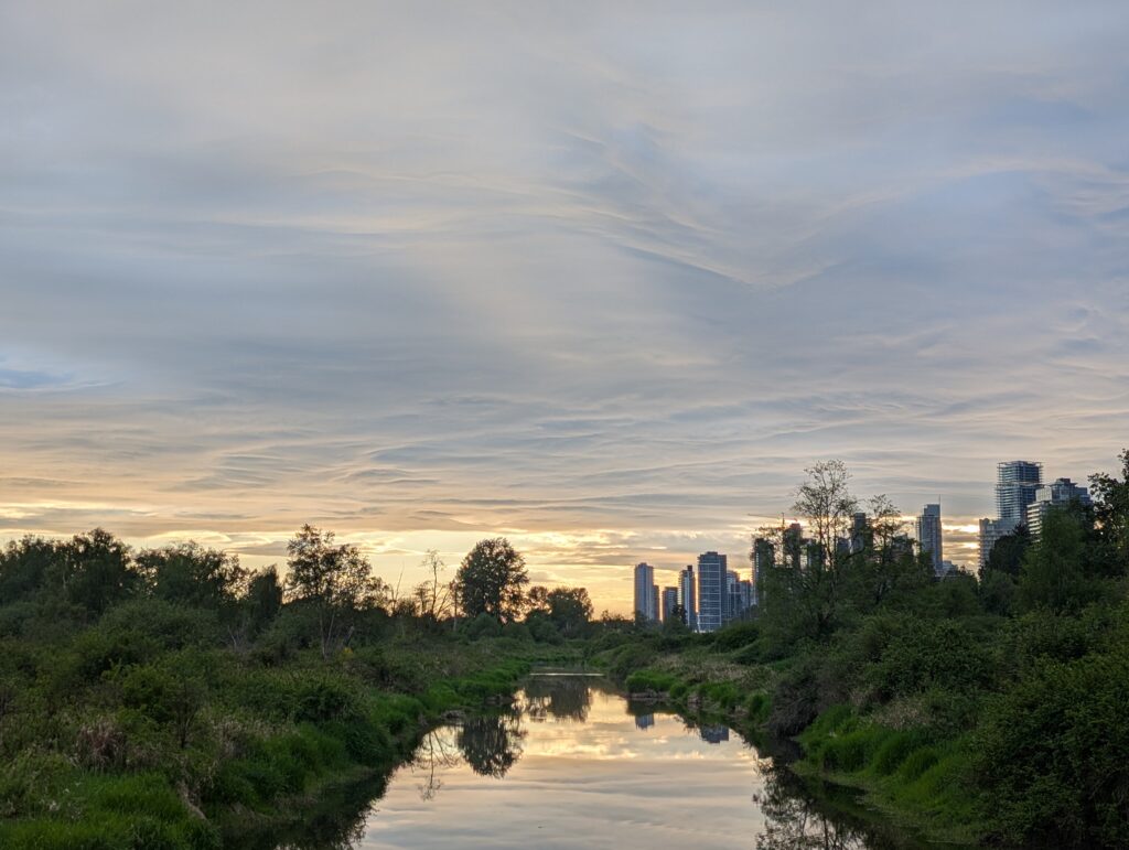
And headed home… treated to a dramatic sky as the light started to fade.
Today I had the whole afternoon and a focused goal to put my new-to-me 50′ tape measure to use by measuring as many of my favourite old growth Douglas Firs as I could manage with the time and energy I had available. The biggest of which would be the Temple Giant I had only recently been able to see with my own eyes, though I’d read about for a while. I really wanted to compare it to the nearby Douglas fir that Tay and I found in March while looking for the grove. And, while I’m at it, measure up some other favourite firs that weren’t too far away. I wasn’t able to get to all the ones that came to mind, such as the Picadilly pair at the bottom of this post, but will be bringing my tape measure to them in due time. There’s also the Hollyburn Fir, which is also in the largest size class at around 3m diameter, but it has its own sign so hardly a need to measure.
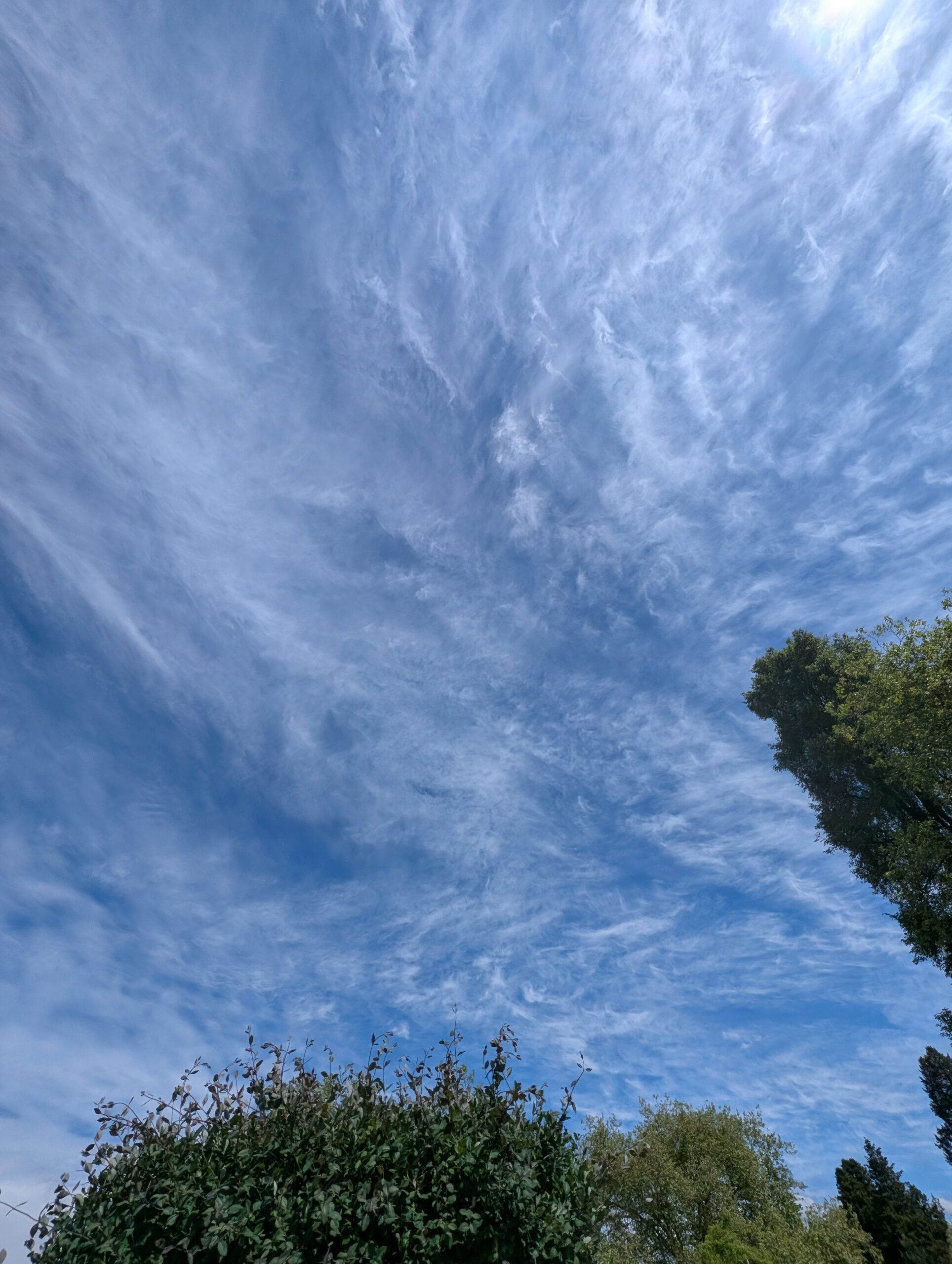
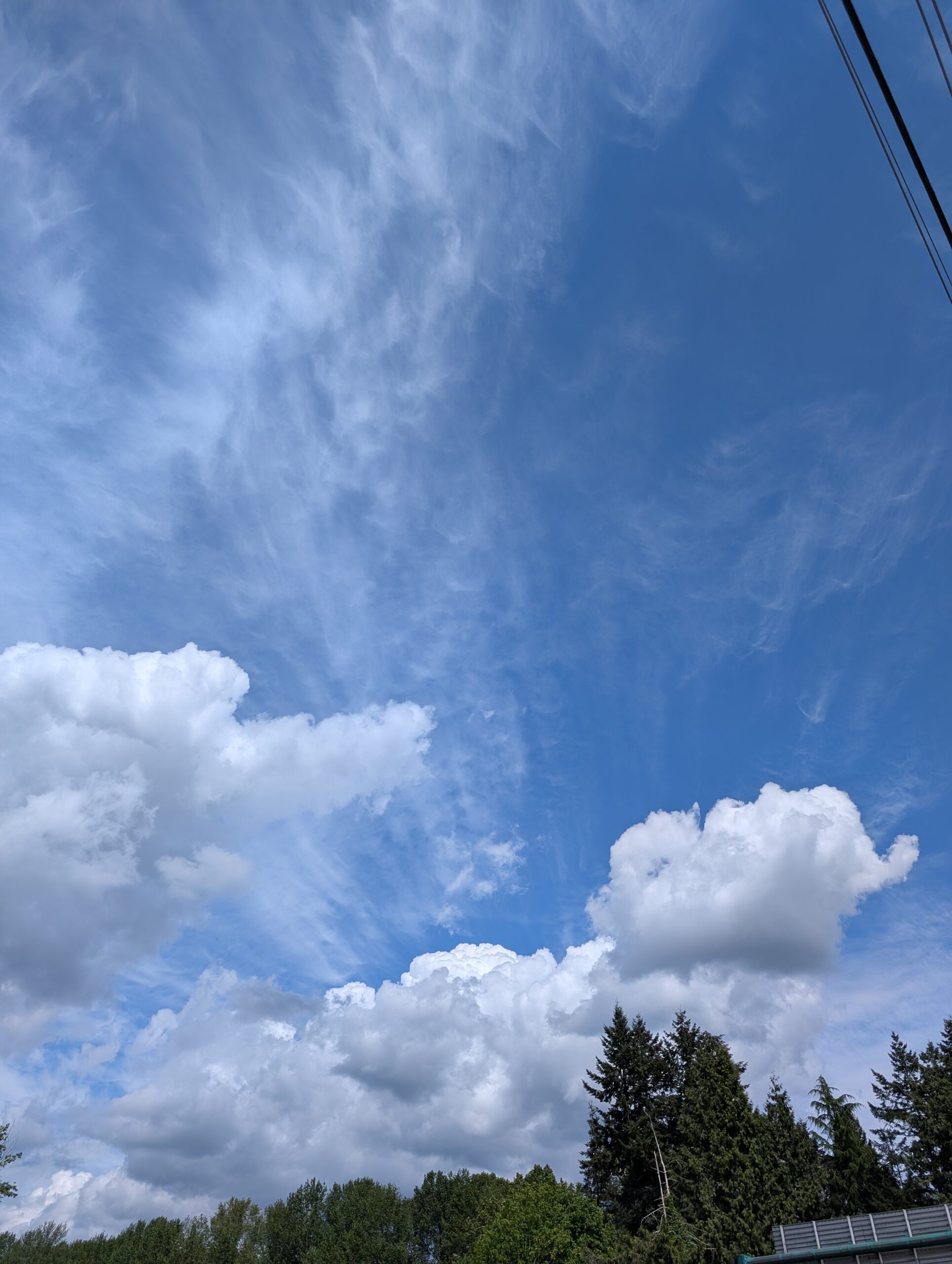
I should also note, it was a good cloud day:
I needed to get to the Hydraulic creek area so I took Fisherman’s trail up to mid valley. Warm and sunny, a perfect May day. I took the Evasion, as while it’s not light, it’s a little lighter than my Bombadil – and I planned to do some carrying today.
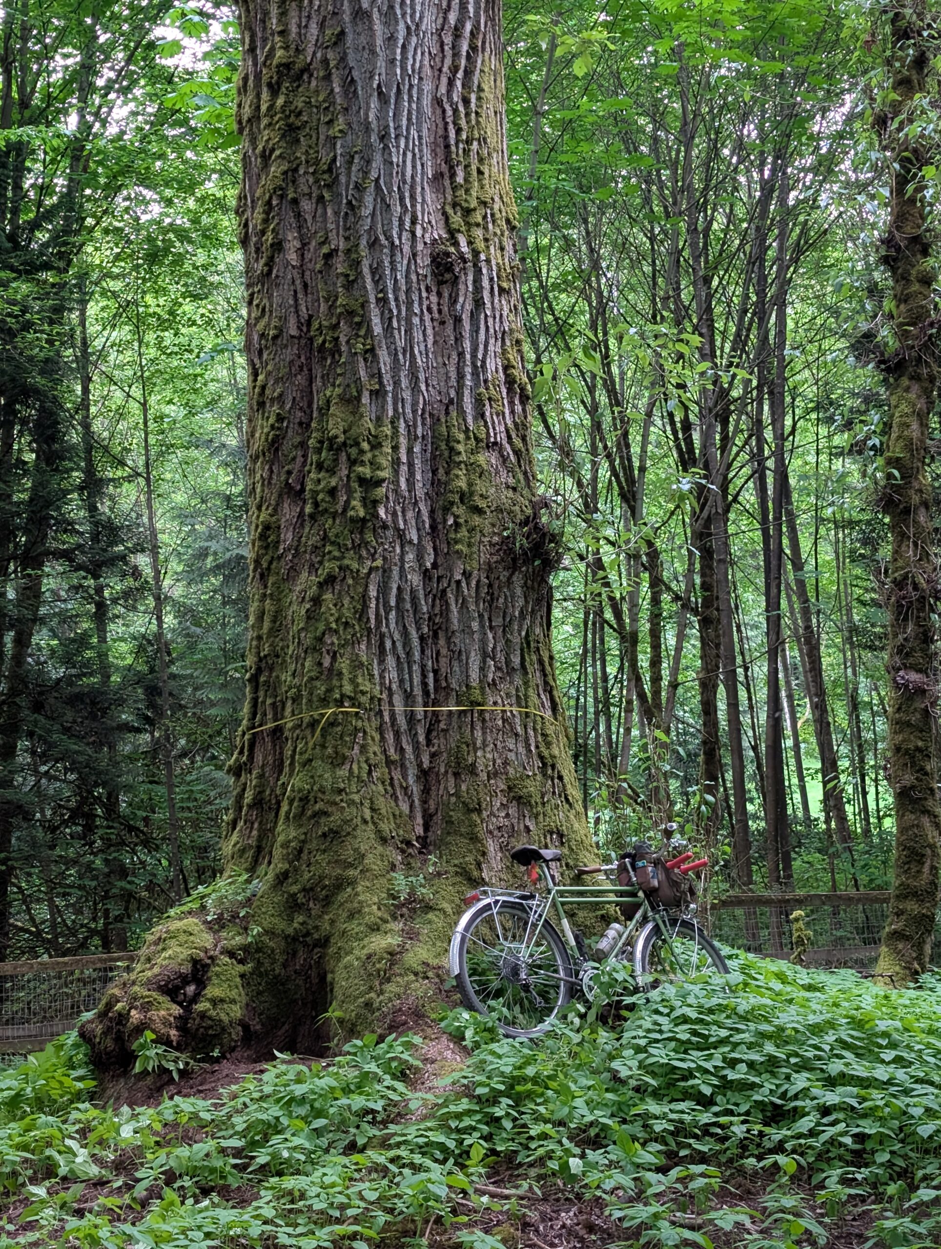
Since I now knew the route up to the Temple Giant, and it was a moderately easy 15 minute hike, I figured it would be worth the effort to carry my bike up there “for scale” and because I’ve made a bit of a habit of taking my bike to trees that require substantial hike-a-bike. The first portion of the approach is quite easy, not too steep:
But my memory of the second half of the approach was decidedly more tame than reality, which is in fact quite steep:
It was quite a sweaty slog for the last section, with me tripping over my bike or myself many times, but I made it and got the photo:
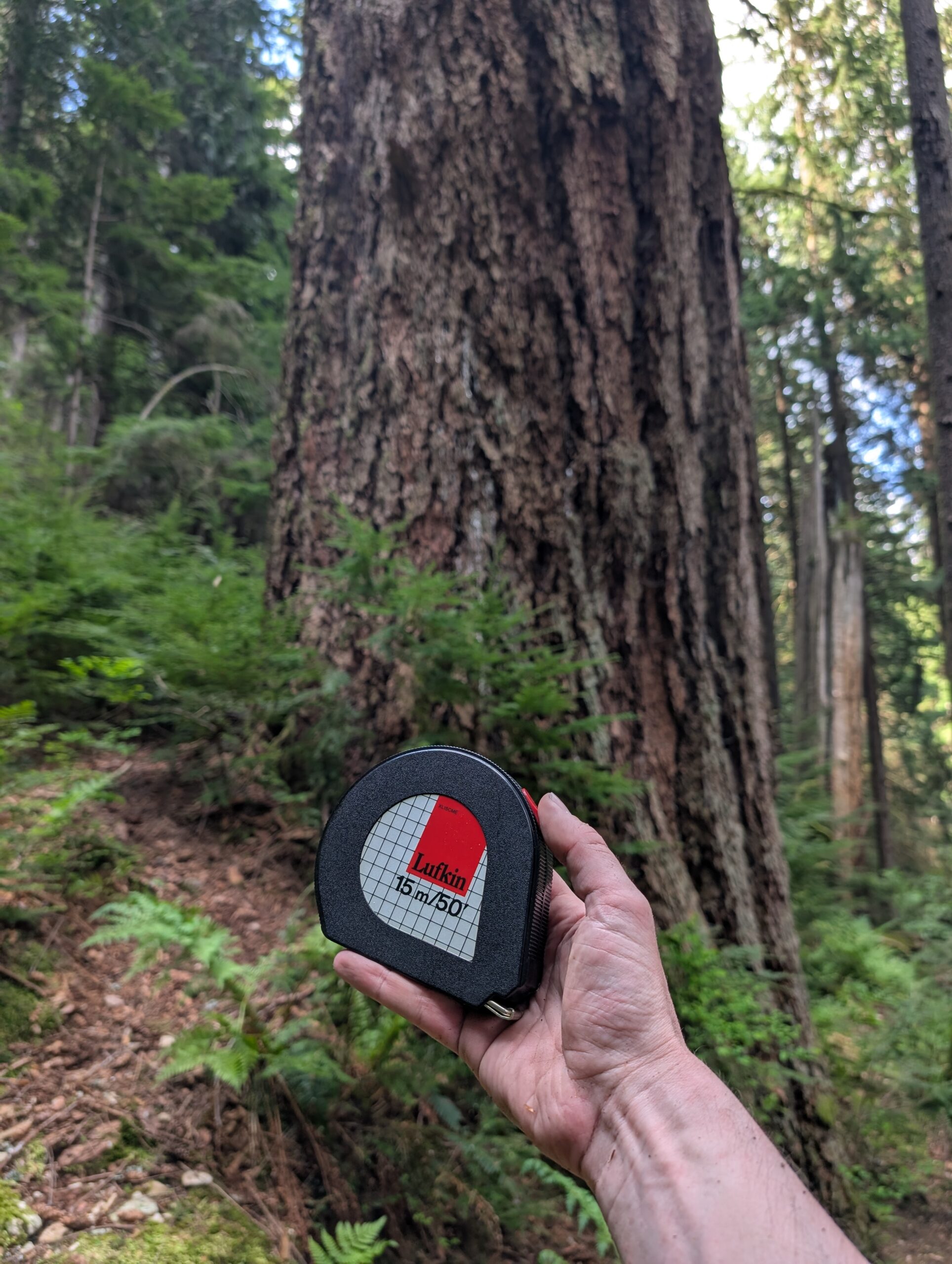
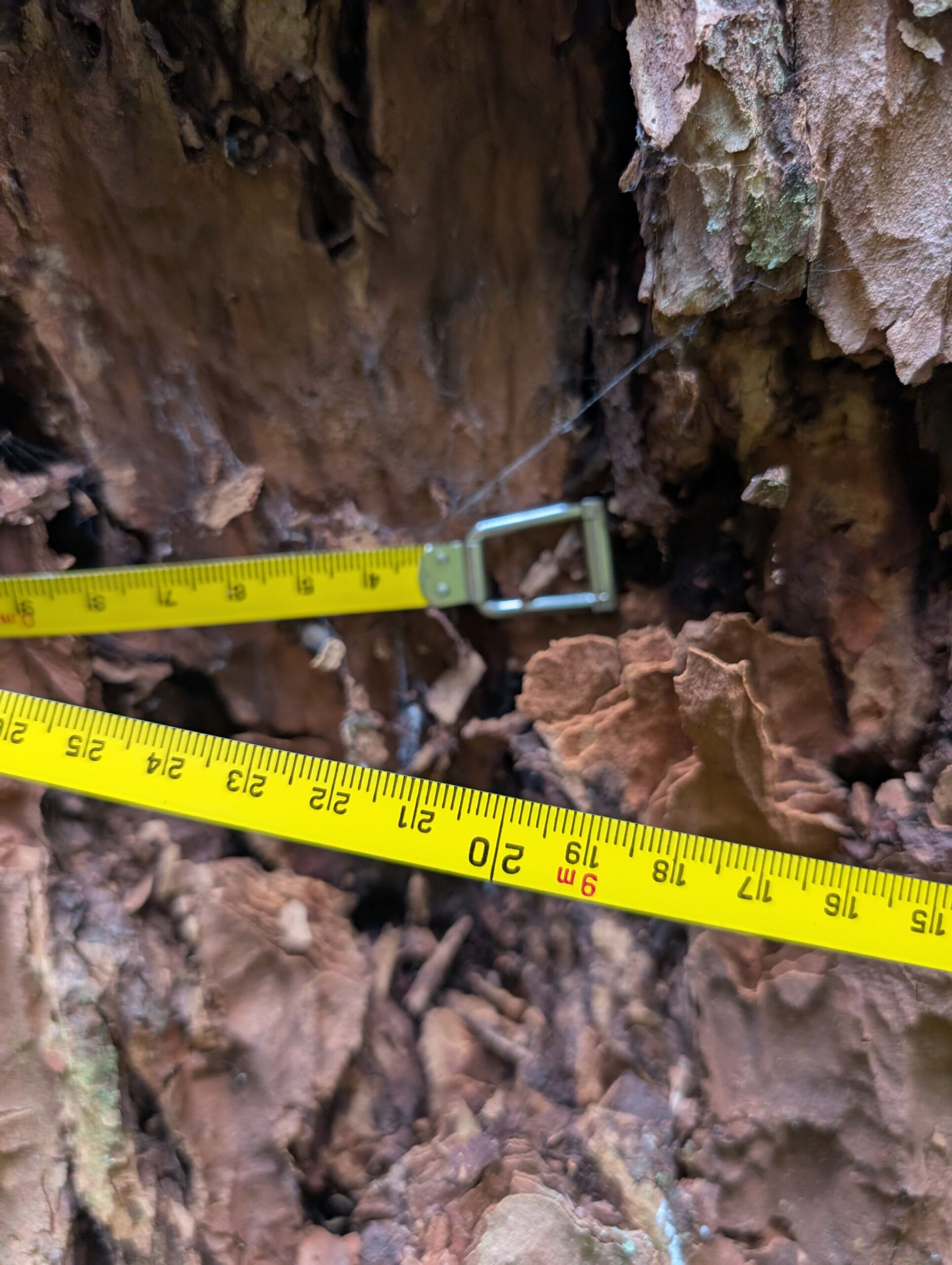
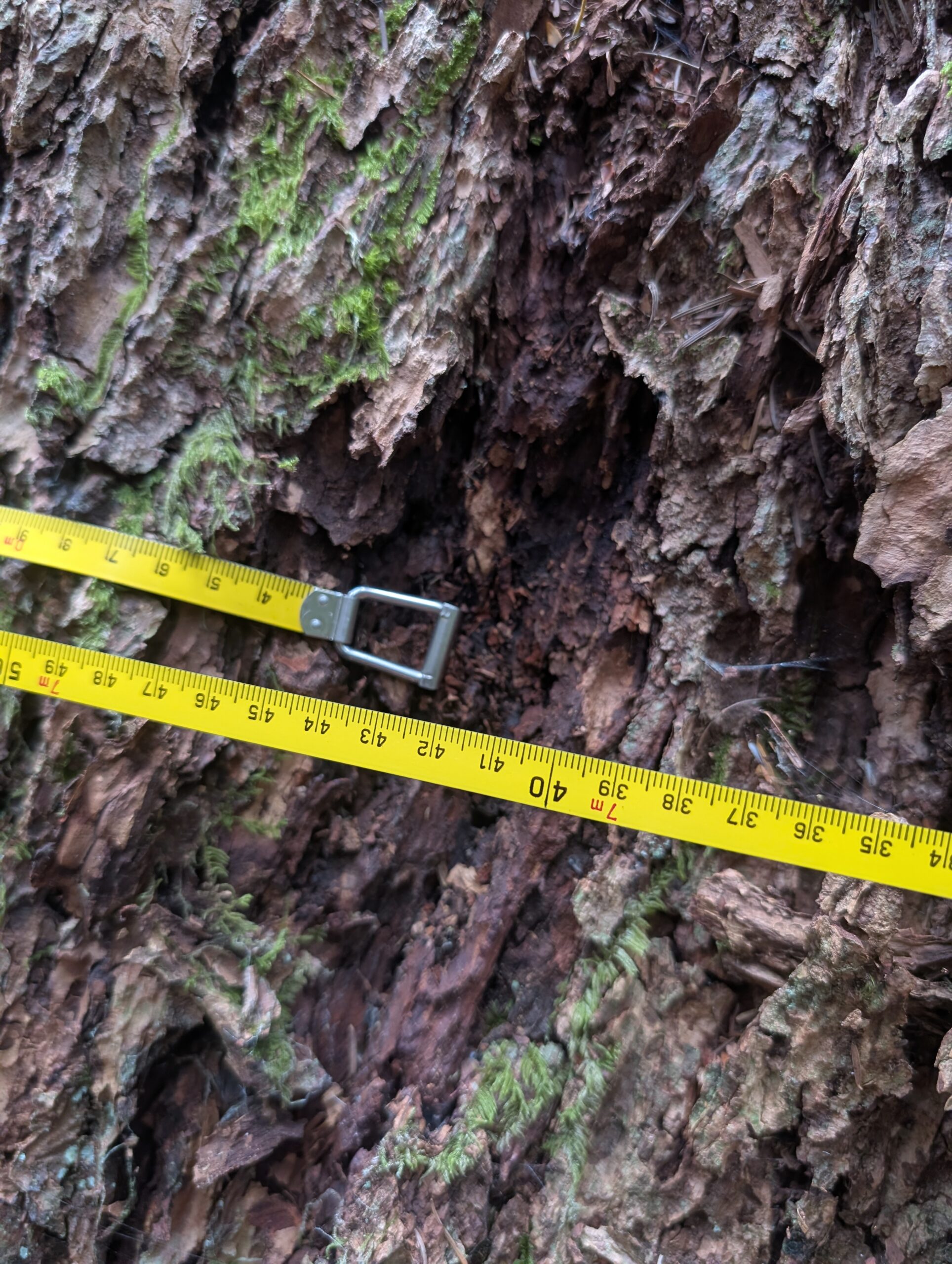
As mentioned, I bought a tape measure for the express purpose of measuring trees – my next phase of burgeoning naturalist, I guess. My measurement is approximate as I couldn’t get the tape to be very level around the tree, but I measured 9.19m circumference, which works out to 2.92m diameter for the Temple Giant.
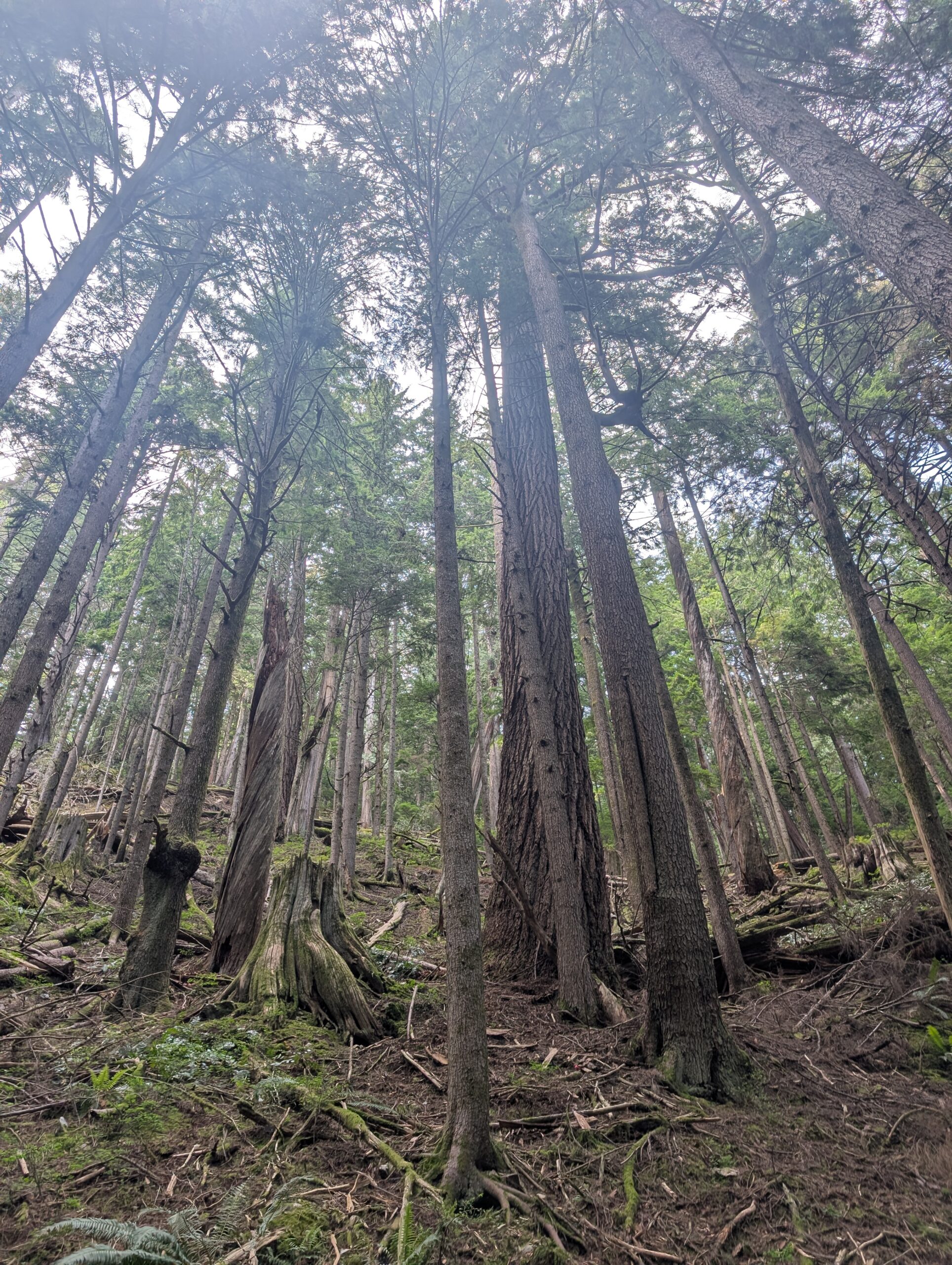
I climbed back down with the bike, rode 200m down the Seymour parkway, then stashed it in the bushes to hike up to the south fir without a bike. This tree is at about the same elevation but without the luxury of a trail (however subtle). Lots of sinking into hollow ground, pushing through saplings, and climbing over fallen trees – though the terrain wasn’t too steep up to this tree.
It measured 7.42m circumference or 2.36m diameter, a bit smaller than the Temple giant, though certainly has a presence about it as well.
Here it is viewed from a little further away (with sunscreen filter effect on the lens…), and “the chair” which can be found along the way. While there’s no trail to this tree, I know it’s known to others to some extent, as there is flagging in the area which leads up to it.
And for size context I wanted to also measure this Doug Fir that’s right along the paved parkway. It’s the biggest tree along the path that I’ve noticed, at least. 6.4m circumference, or 2m diameter. Not too far off, considering the lack of hike effort required!
I had noticed this Doug fir was pretty big along a small trail that connects down from Lillooet Rd to Inter River park so gave it a measure as well. A paltry 5.36m circumference or 1.7m diameter. Still, not too bad.
That was it for today’s trees, but I will go measure those West Van examples this coming weekend hopefully.
Apparently Saturday, May 9th was branded global ‘big day’ by eBird, a day for birders to all try to record some birding activity. I decided to make that a theme of the ride, and link up a couple good spots for birds aboard the Bombadil. I’ve been riding almost exclusively the Bombadil lately as it’s set up both as my commuter and as the most versatile bike in my small collection.
First up was Queen Elizabeth Park, one of our largest and atop the hill dubbed Little Mountain (it’s only like 130m high).
It was busy and I didn’t put a lot of effort into birding here, but did see a bright yellow fella which I think was a northern yellow warbler? Barely got a photo, but you can see them here:
From there I headed down to Richmond, and out to Iona beach near the airport – a top spot for birds but also really interesting for the flora and view of the ocean.
Here I witnessed serious birders with serious gear, while I had my unserious lager and looked around with my little monocular and pointed my relatively tiny camera at stuff.
I didn’t get anything very interesting for bird photos, but I like this composition of my bike amongst the shrubs while I wandered off in search. And lastly, a coyote I spooked and then got photos of while I was riding out from the park. Here he was tracking a small critter, head turning side to side while listening carefully.
This post will be a longer one, because I just got back from two nights and three trail-filled days of riding to, on, and from Gabriola Island. Gabriola is a part of the southern gulf island range, but located at the north end of the range and just a short hop from Nanaimo on Vancouver Island. Coming from the mainland, it’s the only southern gulf island that is accessed via the Horseshoe Bay > Nanaimo ferry, which is about half the distance from my place as the Tsawassen ferry that accesses the rest.
I wasn’t trying to catch an especially early ferry, so I took some liberties to avoid the somewhat busy main road to explore adjacent streets and connections. Since West Vancouver is notoriously steep and rocky, this also means a fair bit of extra effort for the same mileage.
I arrived at Horseshoe Bay with plenty of time. I added a pack of beer to my pannier rack:
I didn’t take any photos on the big boat which took me from the mainland to Vancouver Island, but here’s my Bombadil on the small boat that goes from Nanaimo to Gabriola Island. I muuuch prefer these smaller boats.
The campsite is only about 1.5km from the ferry, so it wasn’t long before I was set up. I had booked this site specifically after eyeing it up last year – it has a great view of the inlet as you can see, and good separation from adjacent sites. This was my first time with the Durston tent, it’s an X-Dome 1+, and I was really happy with how easily it went up and how roomy it is. It’s about the same weight as my MEC Spark 1, but much roomier and better features.
Once the tent was pitched, I wasted no time getting out for an evening trail loop. Anyone familiar with Gabriola probably knows how good the trails are here – there’s a seemingly endless network of relatively smooth, relatively flat single track that spiderwebs the island.
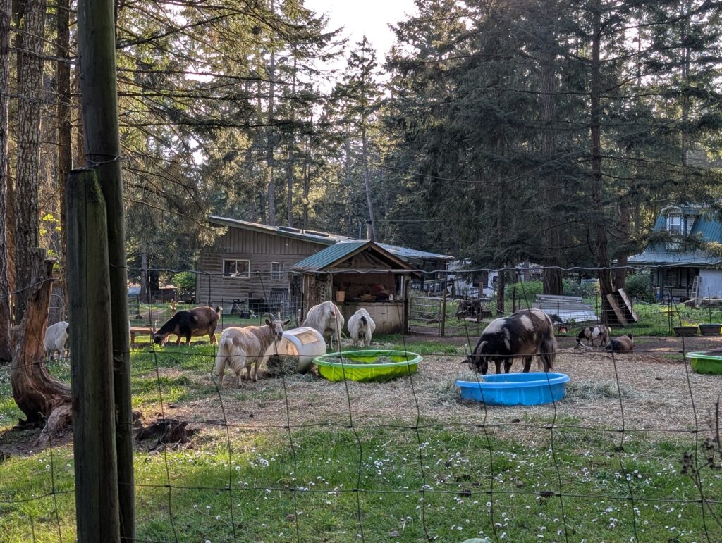
Plus, there’s goats! And, not pictured, plenty of turkeys roaming around.
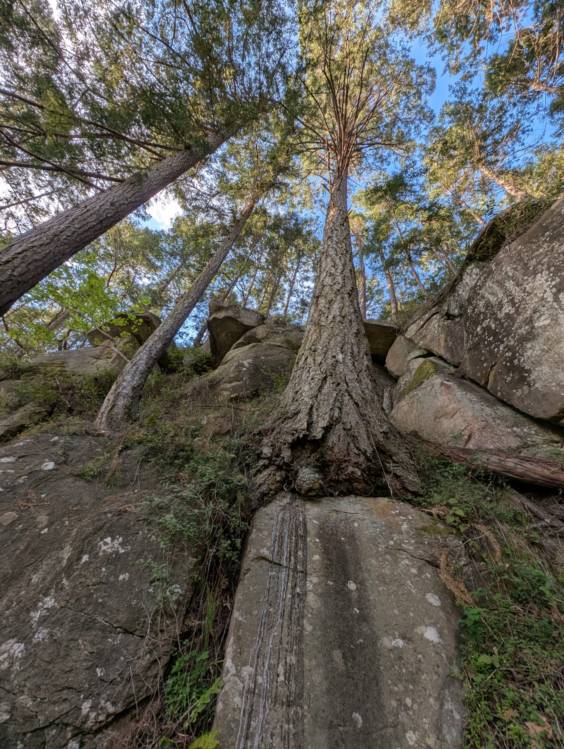
Once back at camp I had a bit of food and headed for a walk along the opposite side of the cove before the sun set. I admired the tenacity of the trees growing along the cliffside:
At the end of the trail is a lovely grassy patch to sit and watch the water. A great blue heron was standing on the rock in the distance and barely moved during my tenure.
Once back to the campground, I was treated to a rather perfect sunset at high tide in the inlet, capping off a really nice first day at camp. At this point I was solo, and the campground was still pretty quiet as it was a Friday. But my friend Tay and her partner Gina were joining tomorrow for some social time as well.
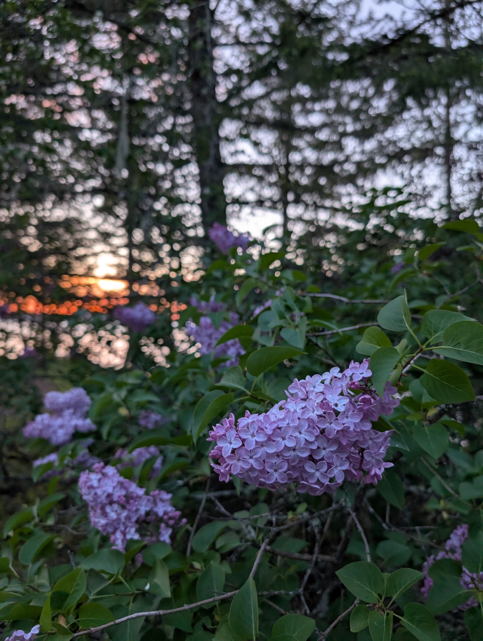
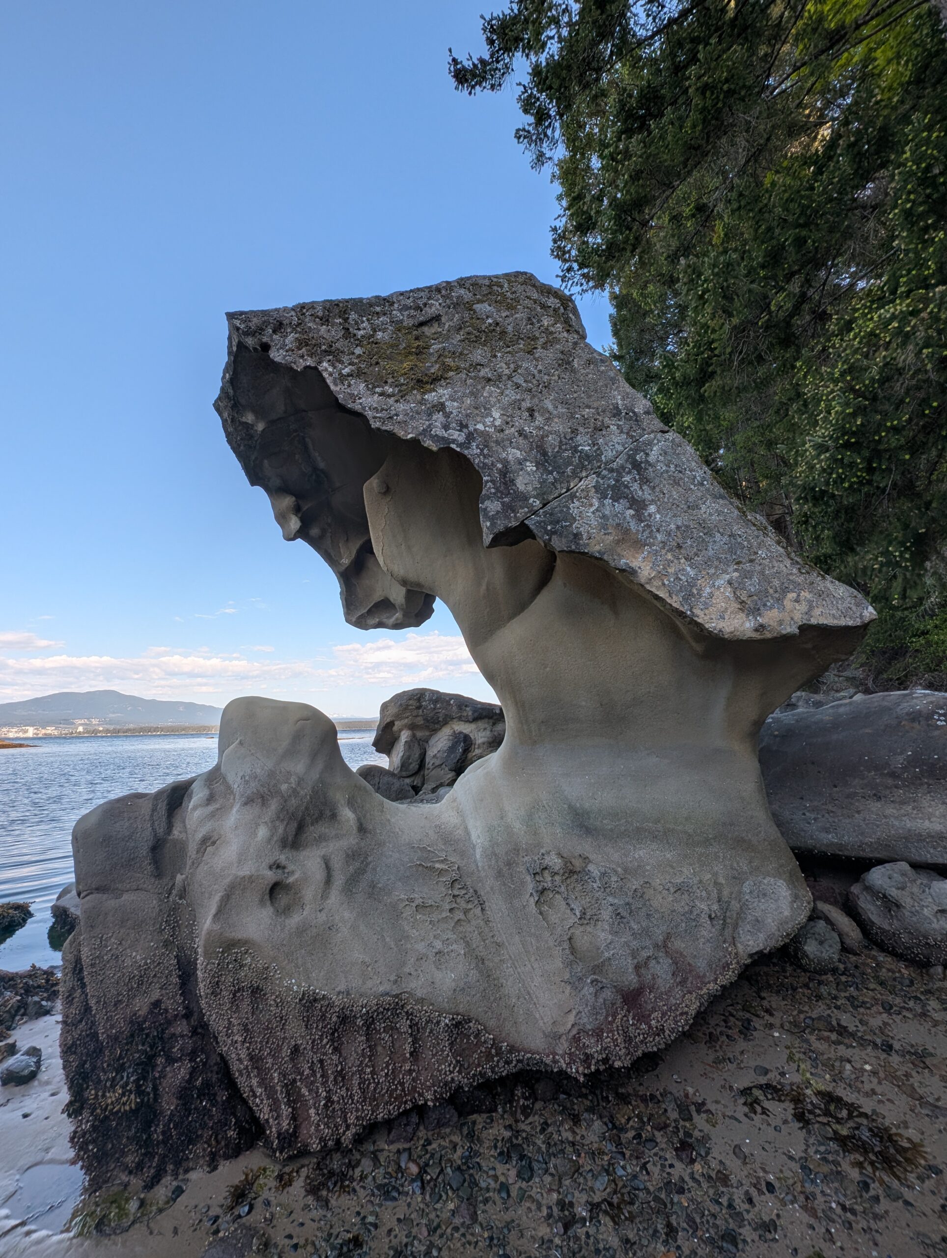
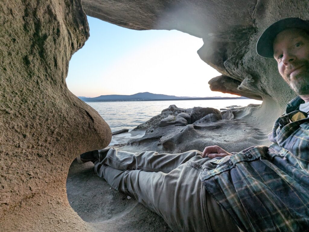
A couple more photos from the evening walk: lilacs at dusk, my favourite rock in the bay, and a me-sized cavity in the sandstone.
I went to bed just after 9pm because it was dark and I had little else I wanted to accomplish. I slept quite well, waking up just a few times. I was also on a new pad, a super-thick Neoloft from Thermarest. It was pretty heavy compared to my normal pad, but in addition to comfort it was also much quieter with a fabric-like top and no crinkle!
I was out of the tent shortly after 7am, and tried to make coffee – only to find my trusty MSR Whisperlite had a clog somewhere that all my troubleshooting could not fix. It hissed air, but passed no liquid fuel. So I fashioned a cold-brew by passing the first runnings back through the beans again with my Aeropress, got sufficiently caffeinated, then headed out for a ride again at 9am.
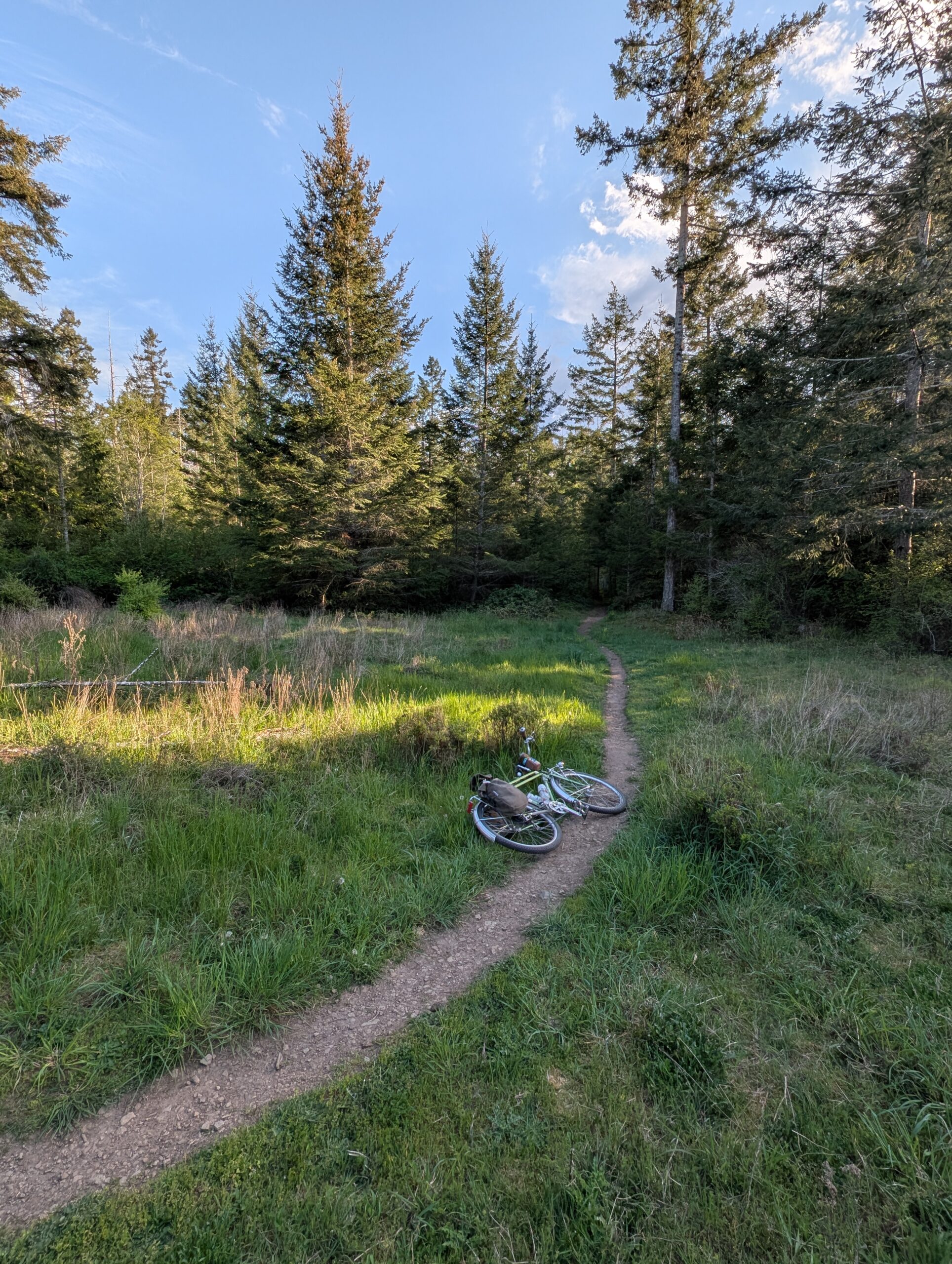
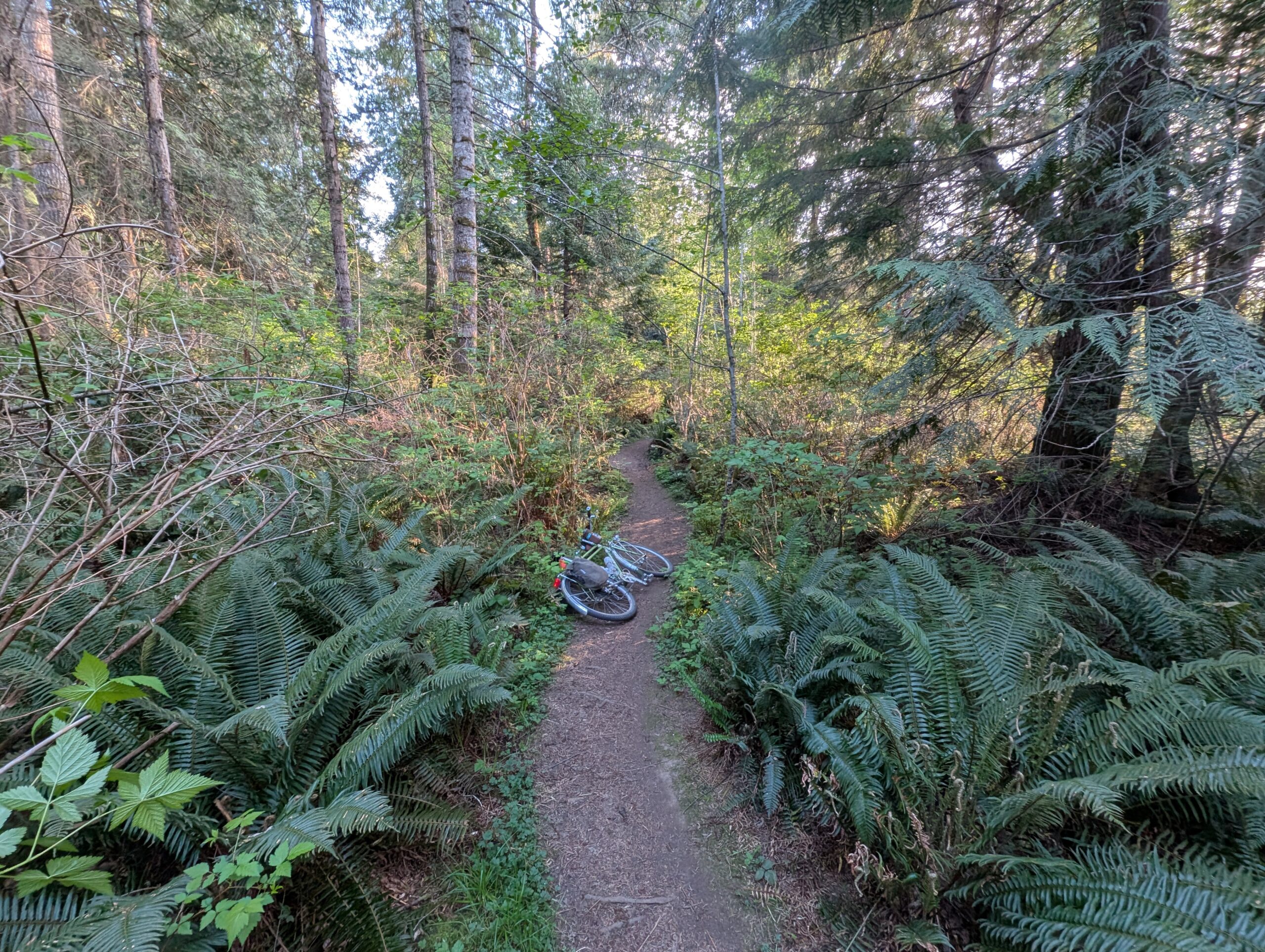
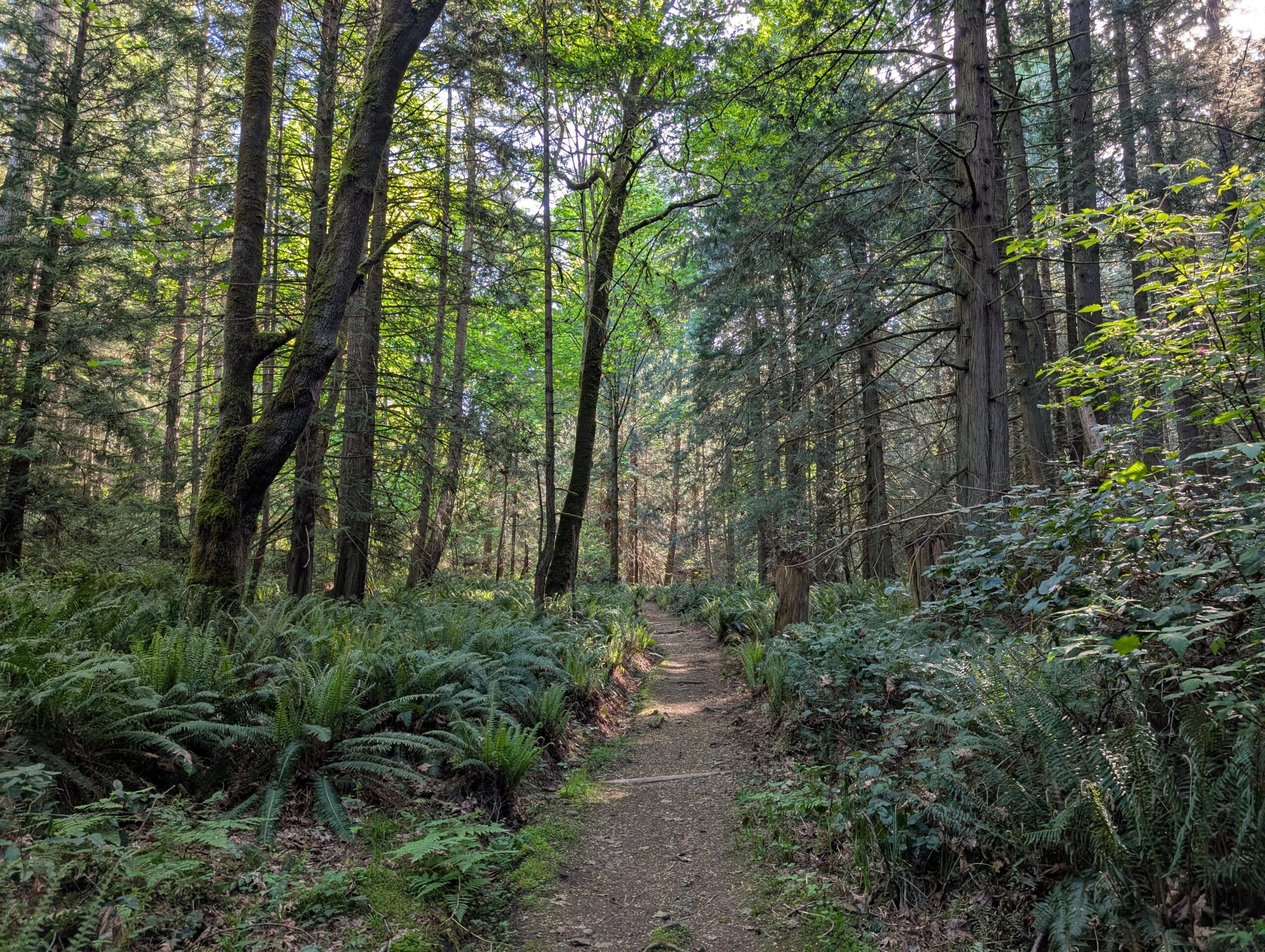
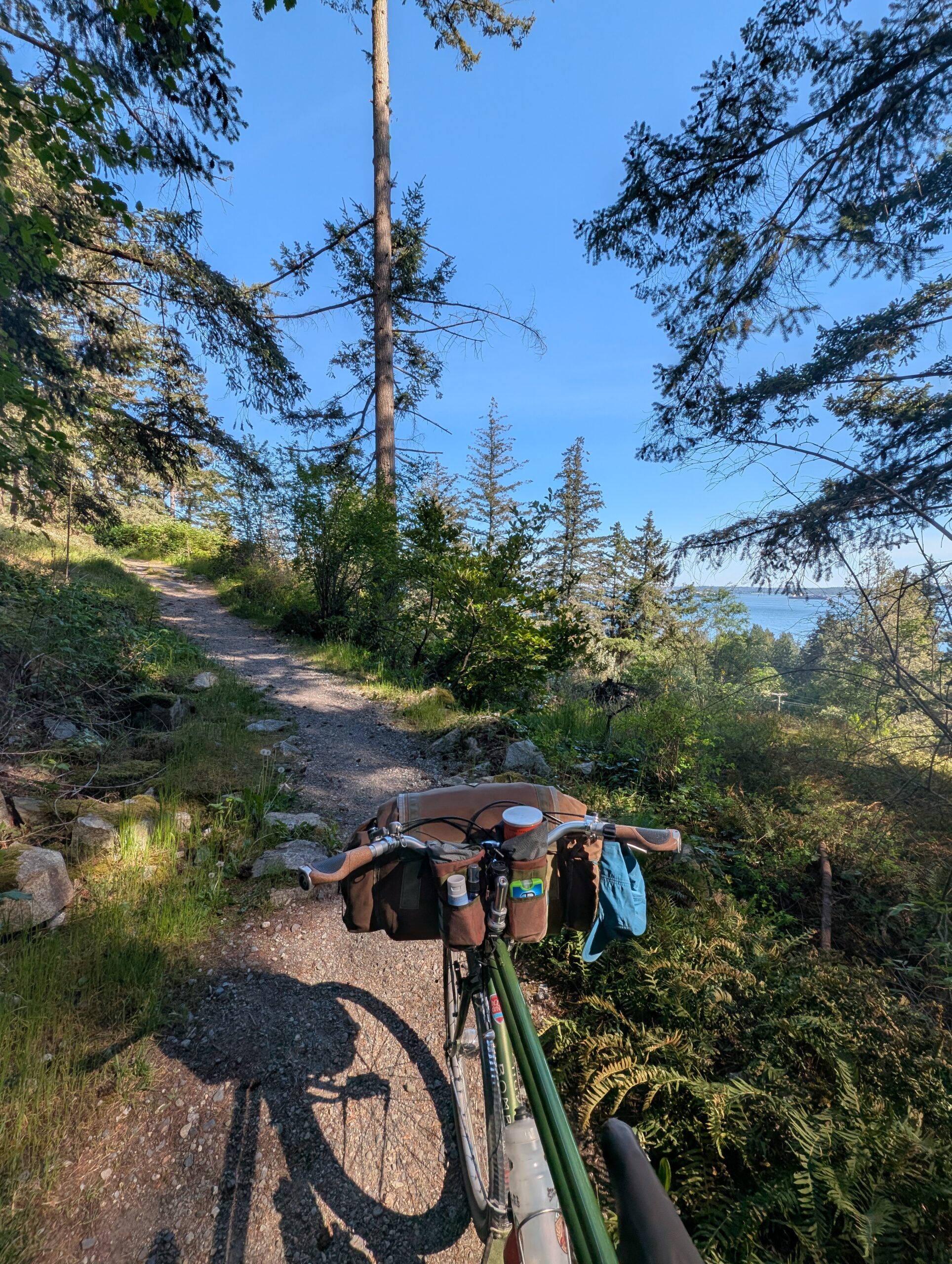
Right across the street from the campground entrance is this trail, which works its way through a wooded area and drops you at the end of a gravel road.
From there I headed north to a section of the island I was unfamiliar with. I dropped down a steep winding road, knowing full well I’d pay for that later, and to the end of the coastal road where a trail began. A local walking their dog was in the middle of telling a road cyclist that they don’t recommend trying to get through on this trail as it can be muddy. I made some comment about having knobby tires and headed off anyway.
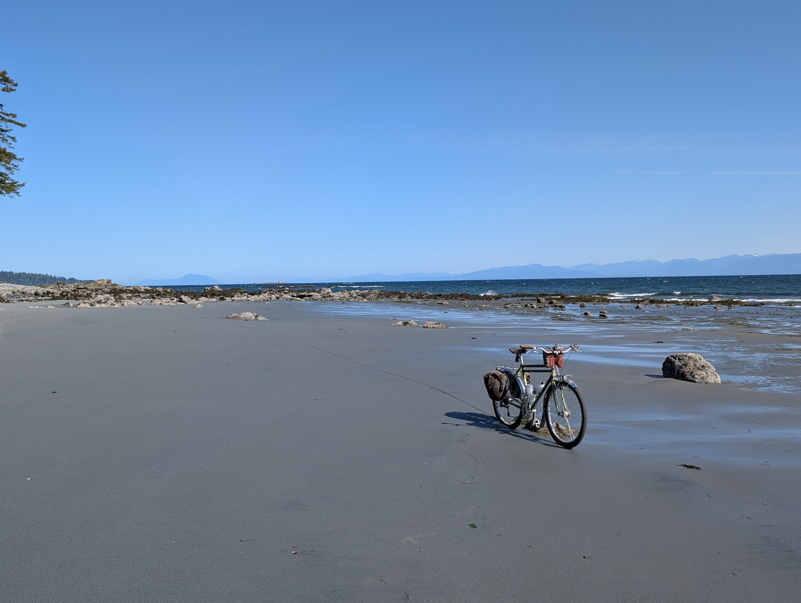
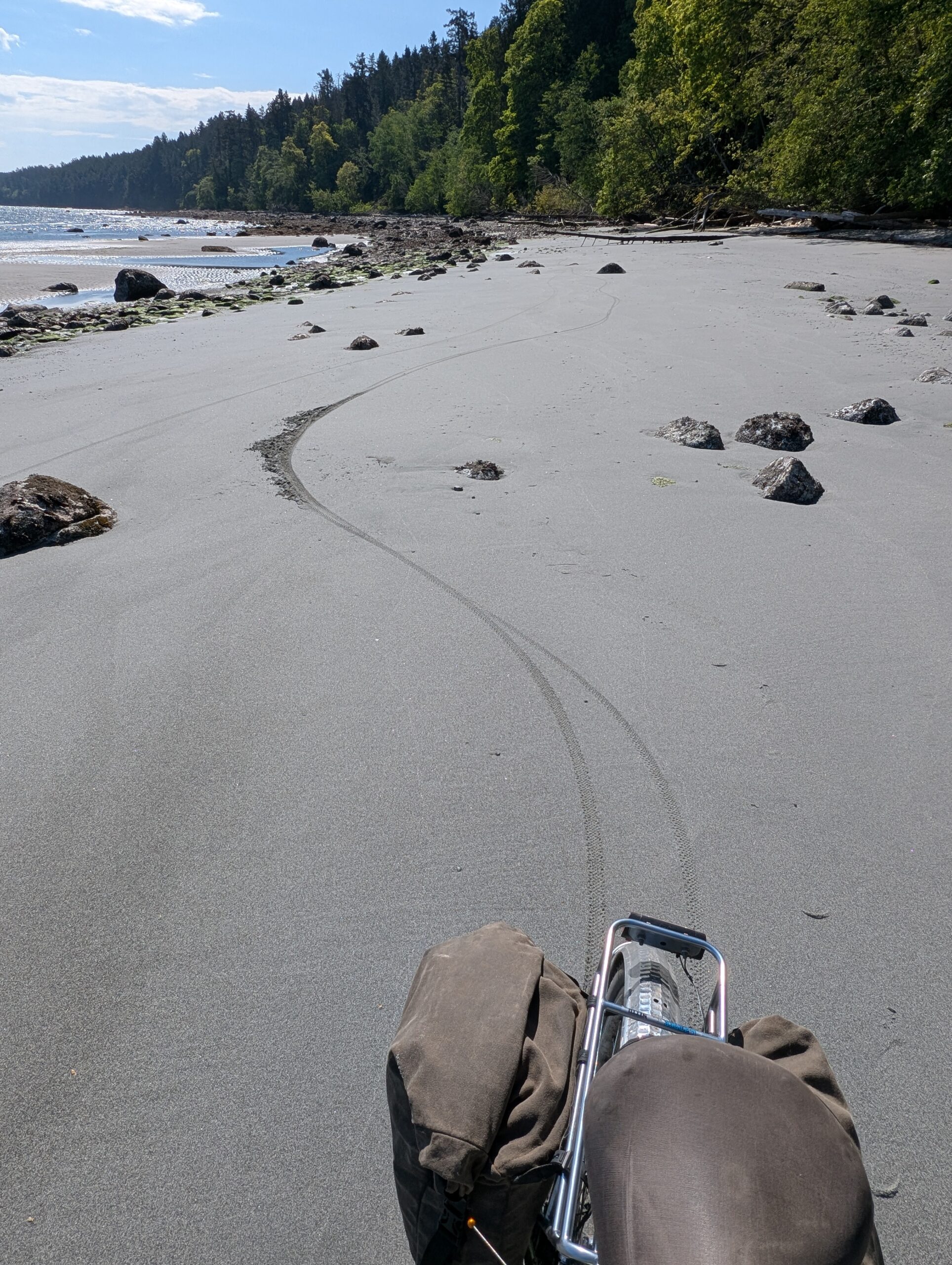
To my surprise, after a short distance along the coastal trail I found myself alongside a huge, beautiful, untracked beach at low tide. The sand was wet enough to ride along, and the beach stretched for about a kilometre, of which I rode end to end. At this point it was 10:15am, the sun was warm, and I had the beach entirely to myself.
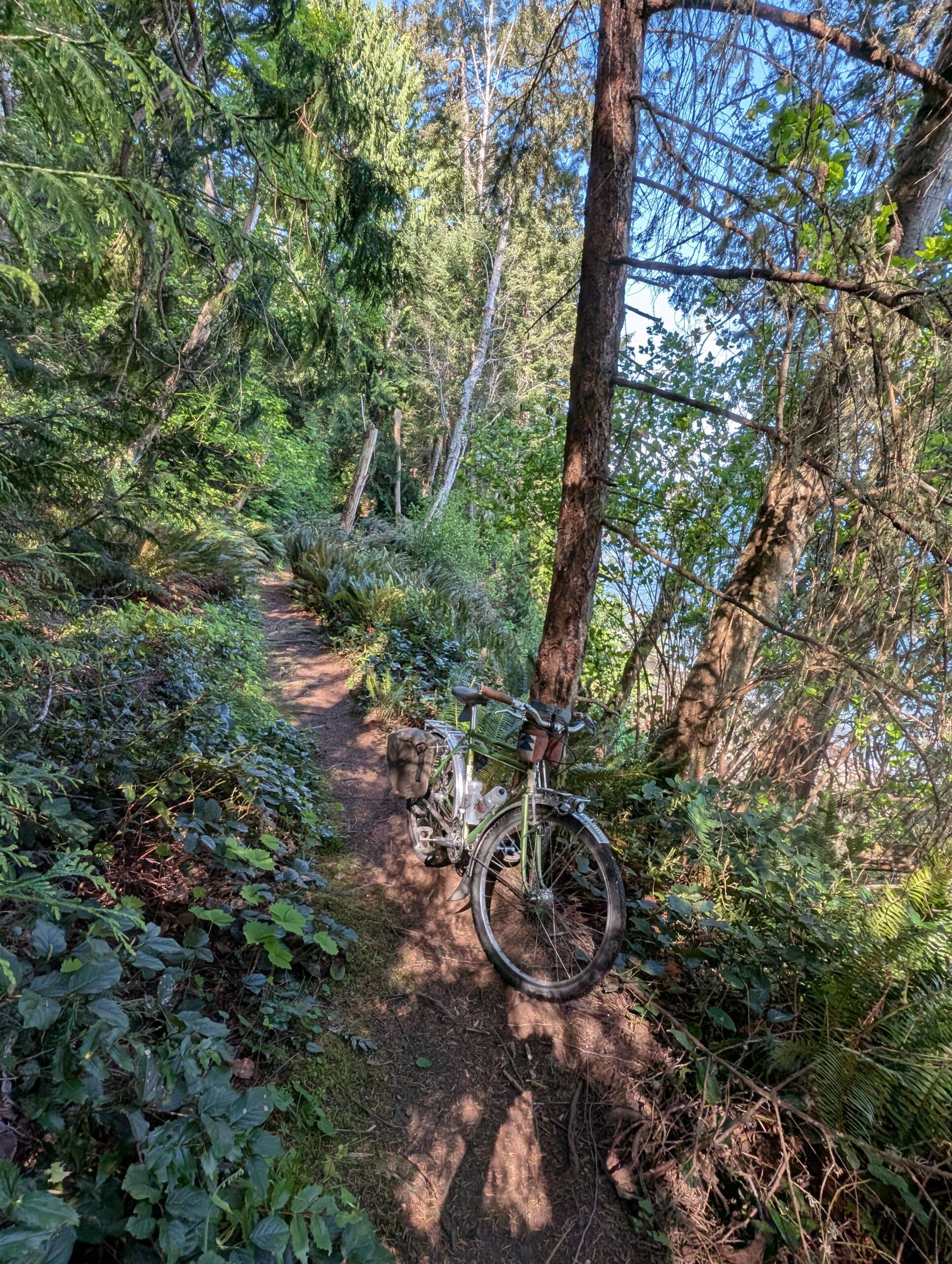
I continued on to the rest of the trail, which was a bit rooty and technical but mostly rideable. I saw quite an old Douglas Fir, but not a single other person.
The trail plopped me out on the road towards the far end of the 14km long island from camp. I continued to loop around and see the remainder of the coastline, most of which I hadn’t been to before. Along the far side are a series of small islands just off the coast, a marina, and a motel. The traverse back along South Rd was a grind at times, due to a combination of surprisingly hot sun and unsurprisingly steep hills. I stopped along the coast to check out the views and was treated to a Kingfisher doing its thing – very loudly!
After a while on the road, I was back to the central island trail network and headed back in. Below are some of the many points where I had to take a moment to appreciate how beautiful these trails are!
Back at camp, the tide was all the way out of the bay – it’s amazing how far it travels. Where I stood to take this photo was under water just a few hours earlier!
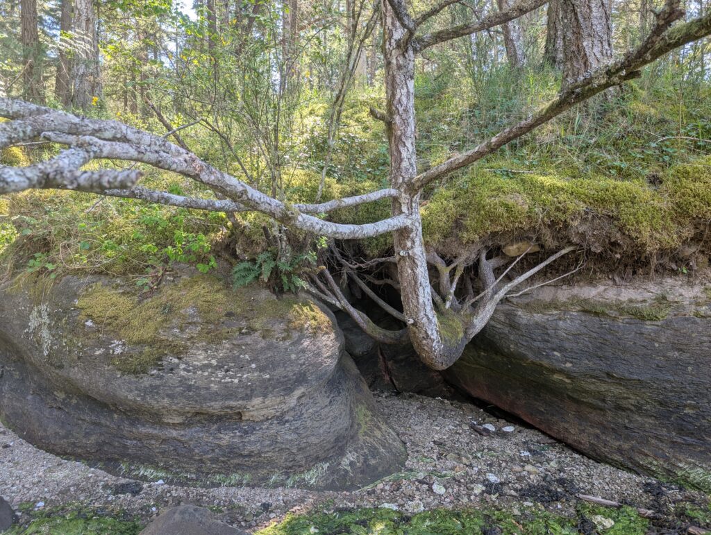
Also, check out this tree that’s still hanging on, despite losing the earth below it quite some time ago:
Around this time is when Tay, Gina, and the elderly duck toller Denver showed up. After some time getting settled and set up, I took them for a loop that sampled some of the different terrain available on the island, hitting a few trails I’d done that morning.
Denver is going to be 15 this summer, and while clearly slowing down and feeling aches and pains, he was able to jog a stretch of trail and absolutely loved it – in his younger years he was quite the trail dog, so this must have felt like home to him.
We walked out to Malaspina Galleries, about 45 minutes each way, and arrived just in time for sunset at high tide. It was perfect!
The second night was a similar sleep pattern – we all climbed into our tents around 9:15pm, and I emerged in the morning just after 7. Waking up to a view of my bike was quite welcome, too:
I should have pointed my tent at the water though.
It was nice to have hot coffee and oatmeal this time, thanks to Gina’s stove. I unhurriedly packed up my tent and kit, and checked the ferry schedule. The next boat left at 9:20am, and it was currently 9:07. Given the proximity, this was doable – so I said my goodbyes and took off, arriving at the dock at 9:14. Tay and Gina took their time and caught the next boat, though we ended up on the same big boat back to the mainland.
I decided to ride around Nanaimo for a couple hours since I was here anyway, but it was a pretty un-noteworthy 22km loop. I did take this photo of my rig though:
Once back on the mainland, I wanted to try a new variation on my route home. The simplest and lowest elevation option is to ride Marine Drive, which is what almost all cyclists opt for. It’s lumpy but not too bad, the downside though is that it is mostly without shoulder and relatively popular to drive as well.
Another option is to push up a steep connector trail to the Whyte Lake parking lot along Westport Rd, and then ride the ‘high route’ from there. Once at the top of the connector, this is a quiet and lovely route with mostly rolling hills, save one arduous climb – but the connector is no joke with a loaded bike.
So what I tried was something between these: sections of Marine, but then climbing up to adjacent roads that are connected by short stretches of trail – the latter which few know about other than the nearby residents. This ended up being quite a bit more effort than just riding Marine despite still spending a fair bit of time on the sections of Marine I prefer to avoid – so in that respect, it wasn’t very successful.
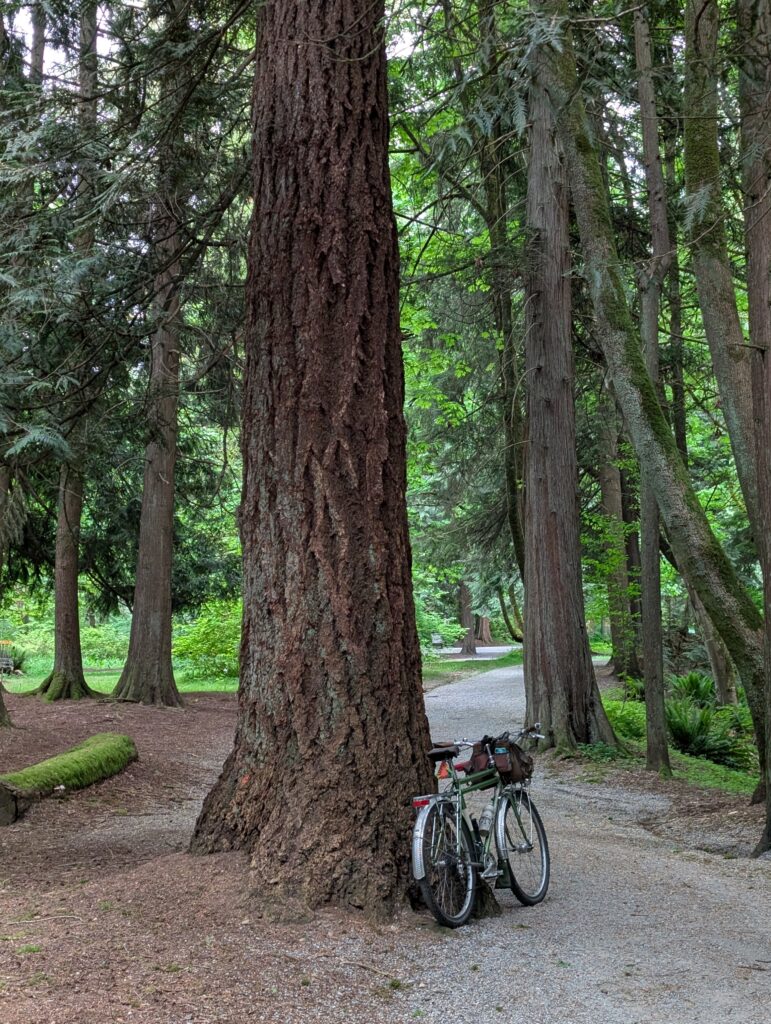
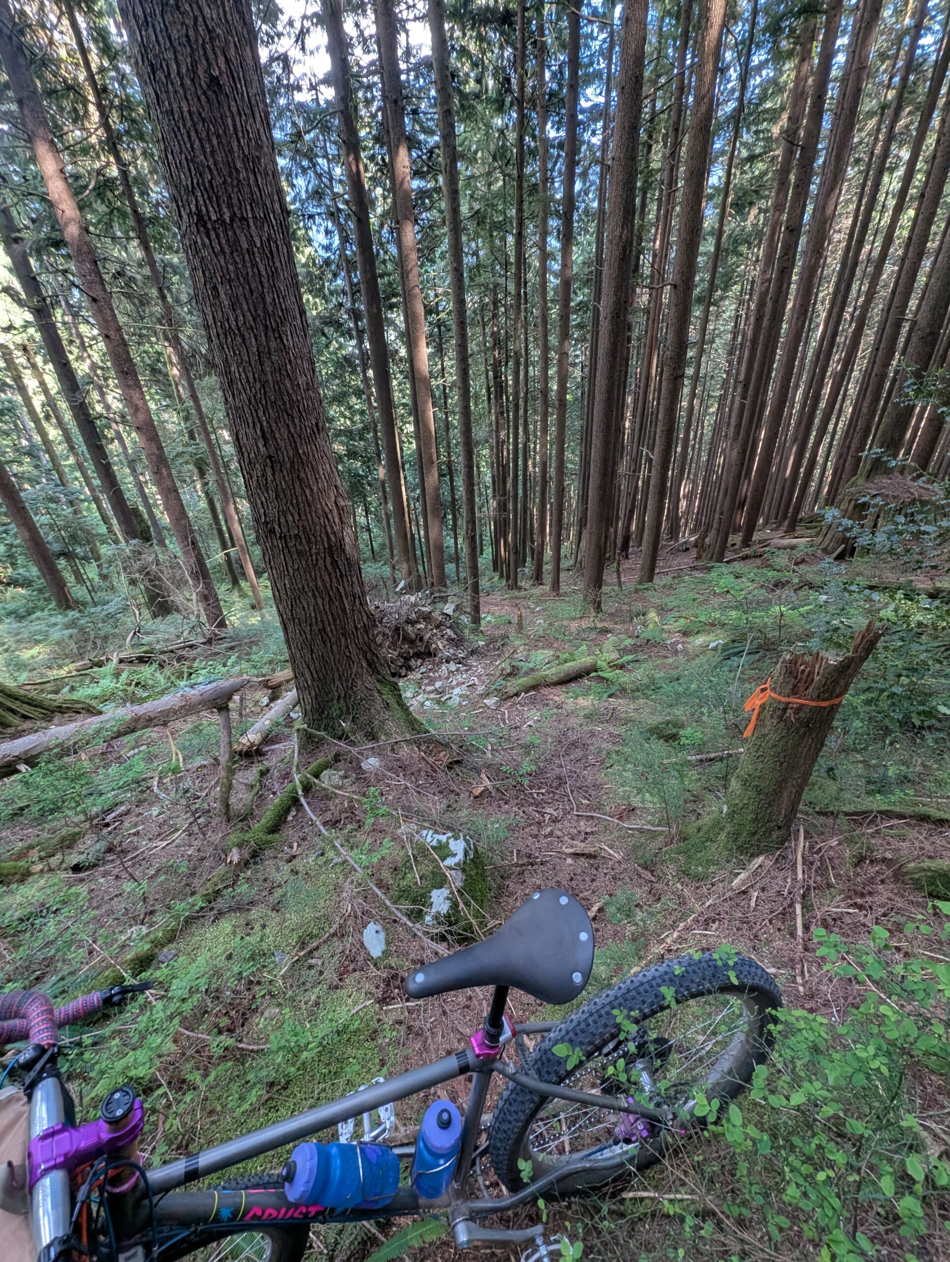
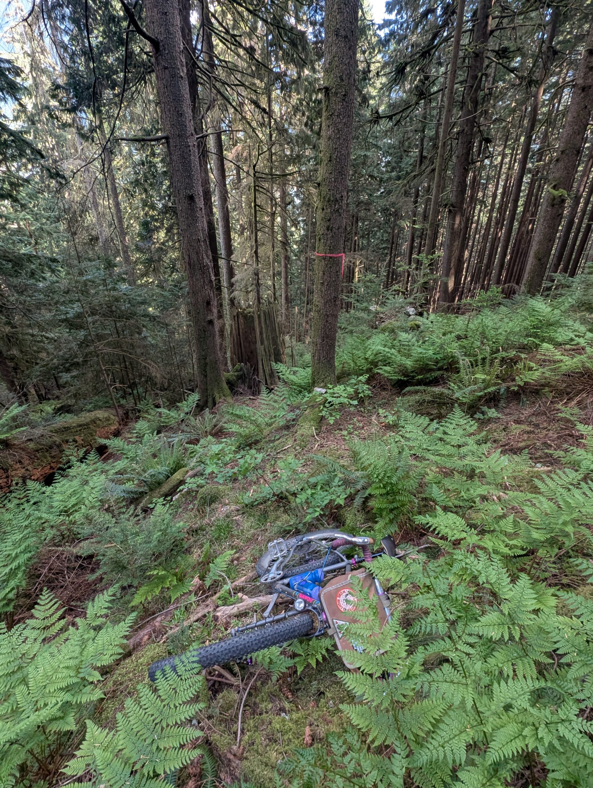
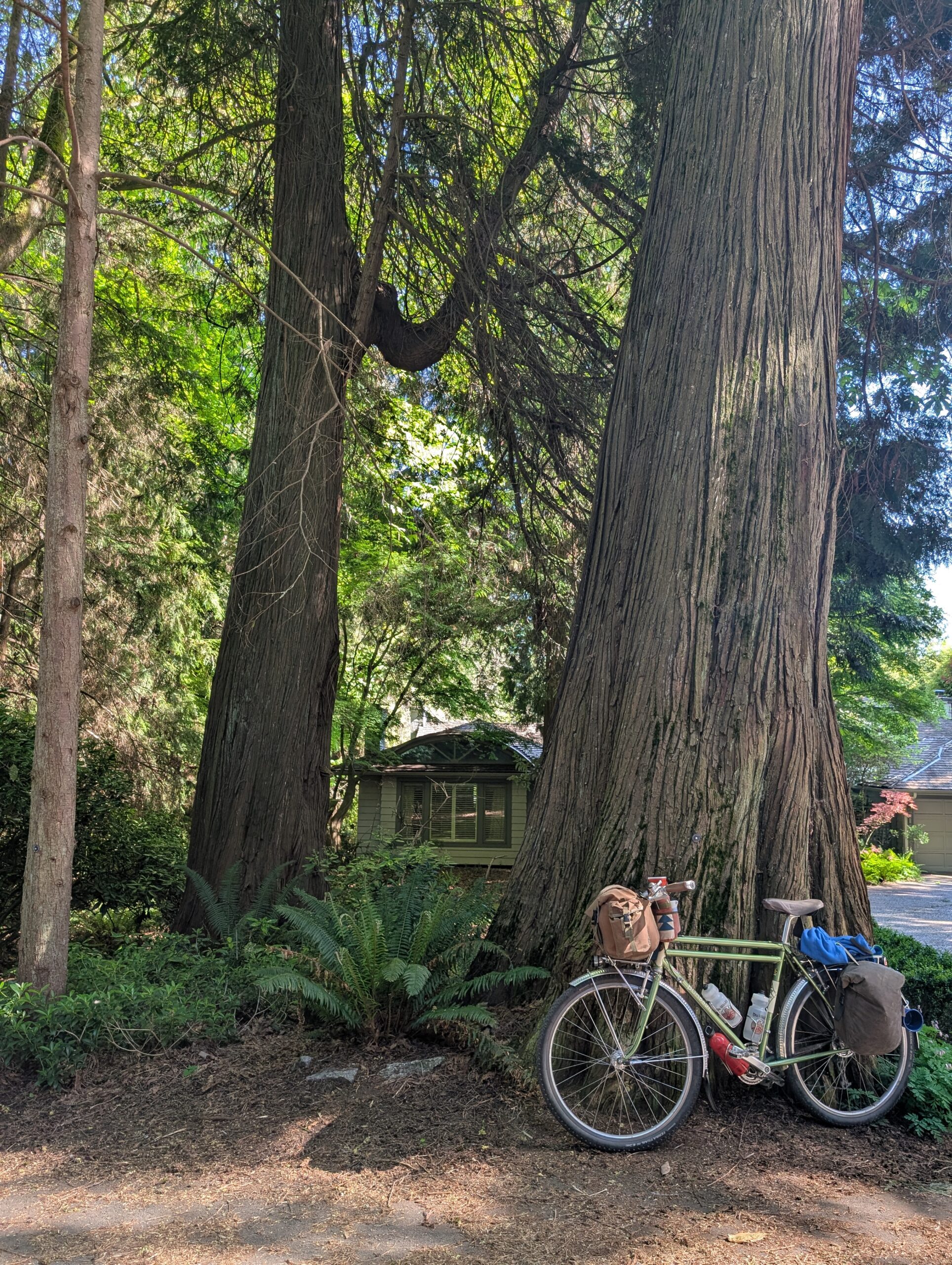
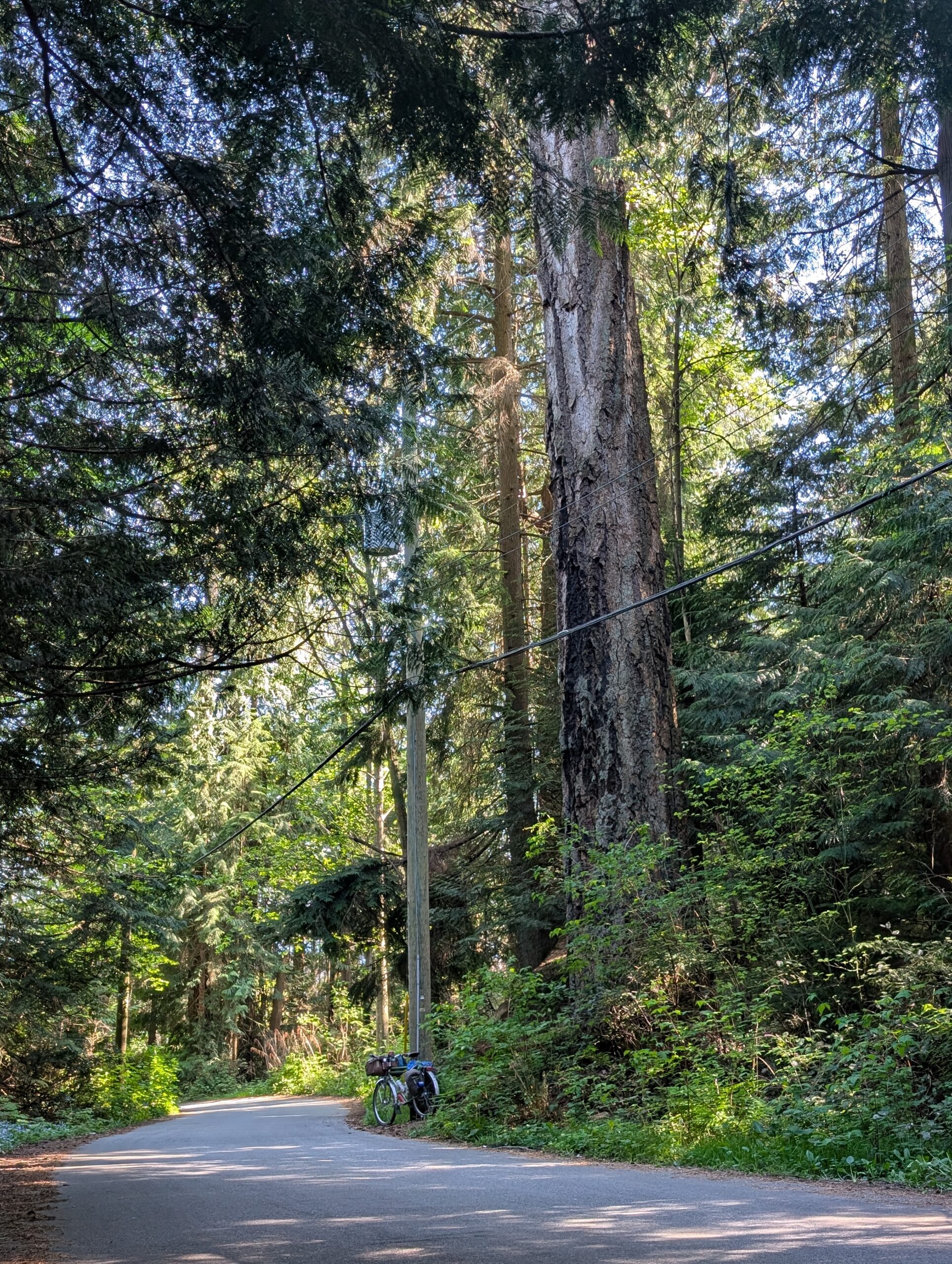
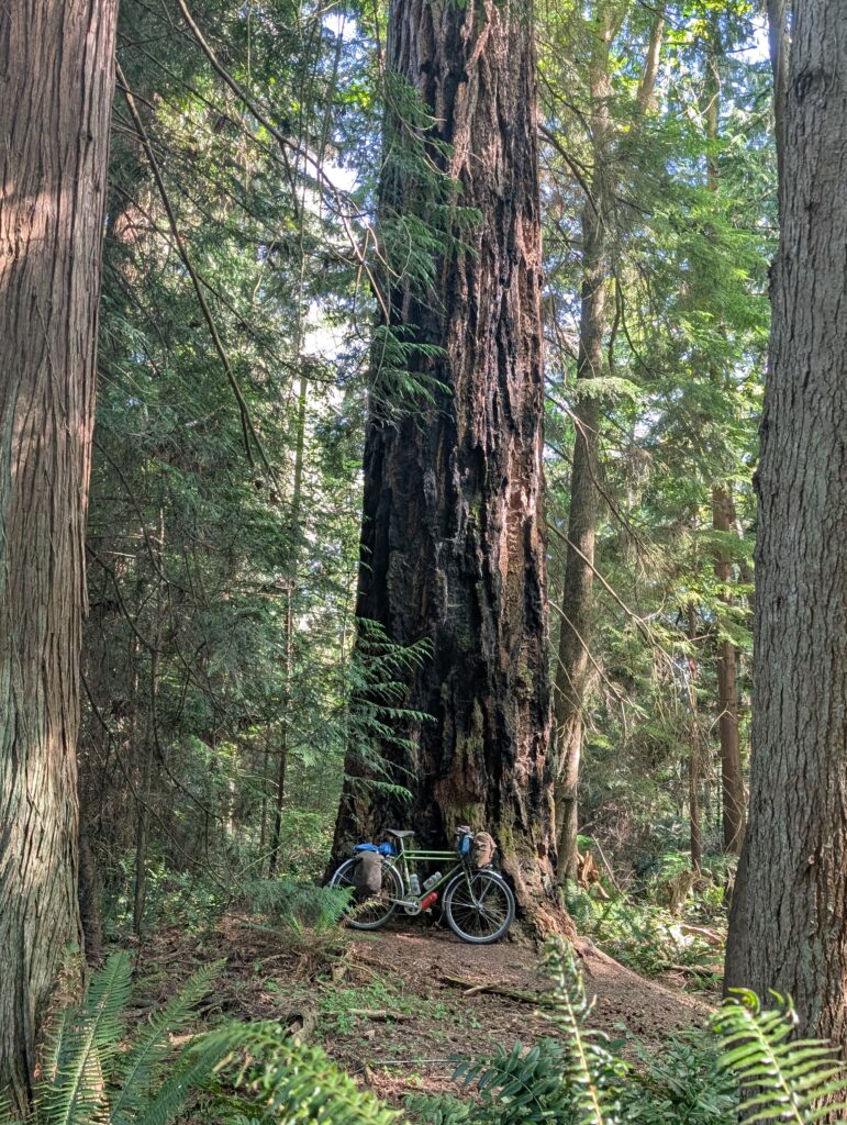
HOWEVER! On one of the streets I noticed a particularly large cedar in a front yard, pictured below right. I stopped to get a photo of it, and looking around realized there were other big trees nearby too. Bigger than I’d seen in a residential area around here – generally, the trees are never older than the homes, but these looked to be older than the neighbourhood they were in.
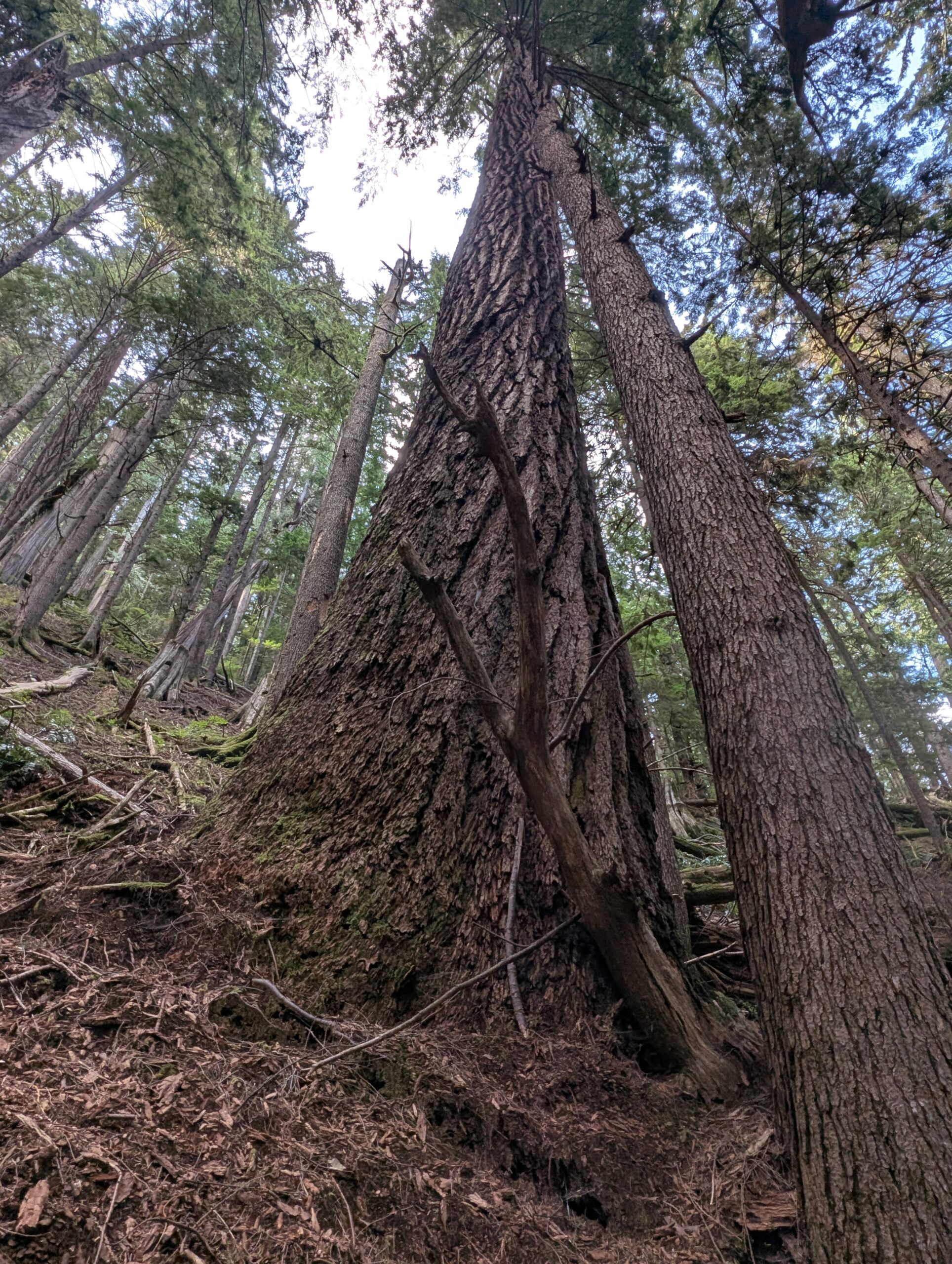
That’s when I noticed a massive Douglas Fir just about 30 feet off the road in a small wooded area. And then another one along the road. There were also a half-dozen cedars of similar size, too. These were about 7 ft diameter, perhaps a smidge larger, and by far the biggest I’ve seen in a residential area. Stanley Park has some huge cedars but I don’t know of a Douglas Fir this big in the park – the only firs larger I know of around here are up in the mountains, and even then, quite rare.
What a joy it was to come across that surprise, and make my otherwise questionable route worthwhile. I got home around 6pm and had a much-needed shower. A perfect get-away and lovely start to the 2026 camping season.