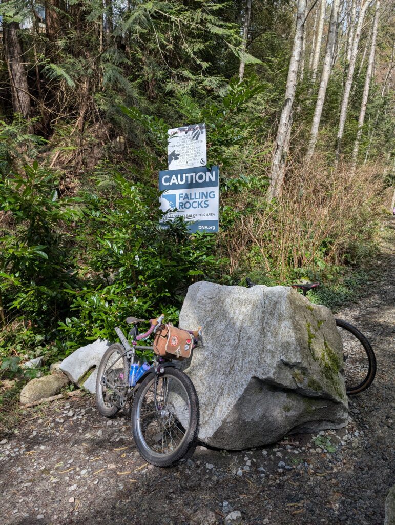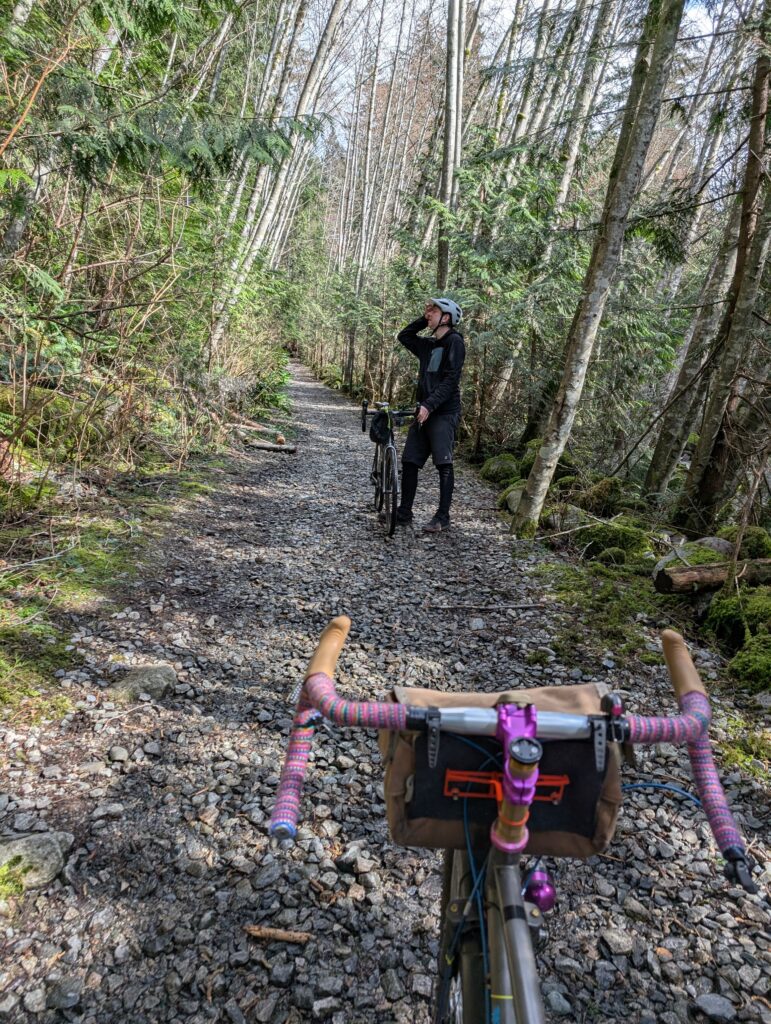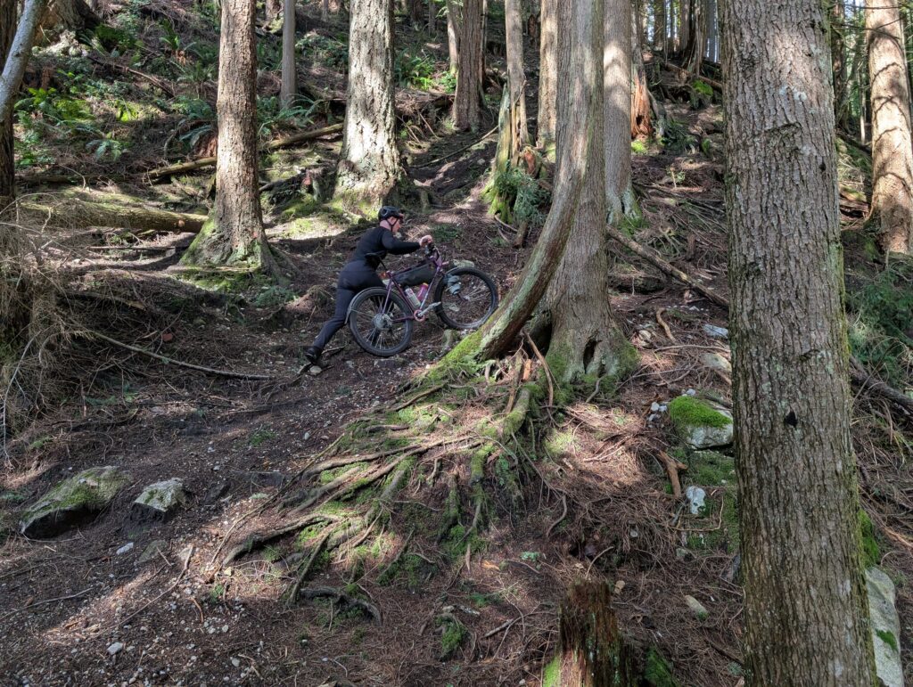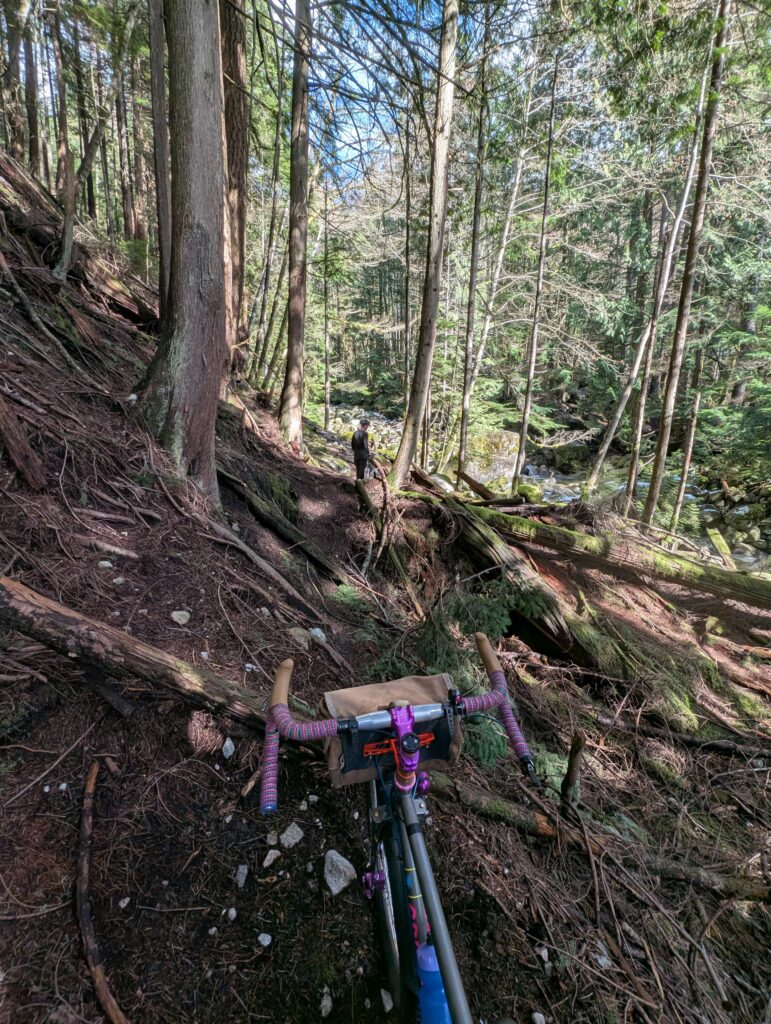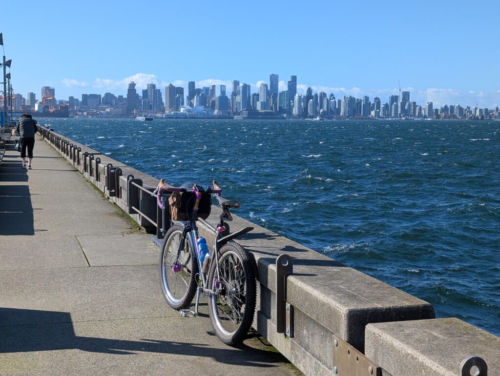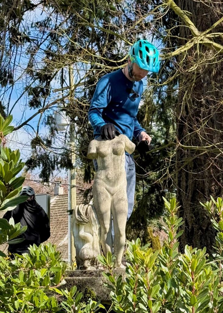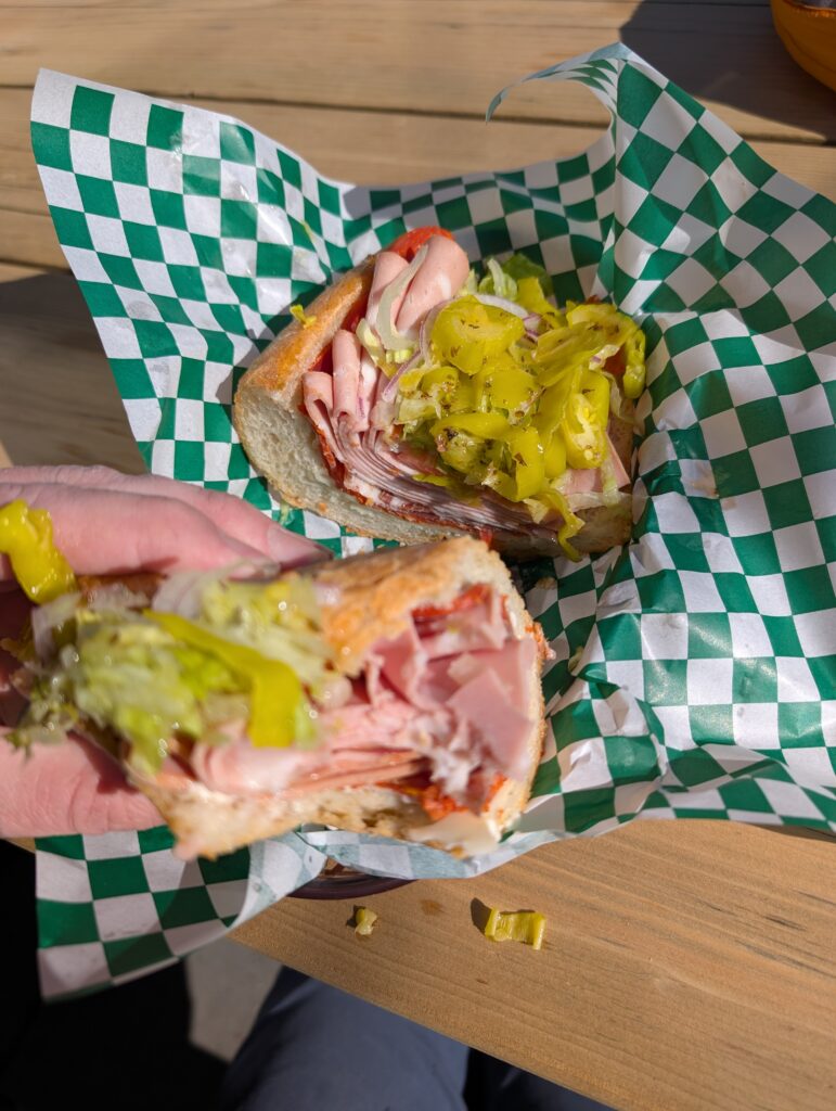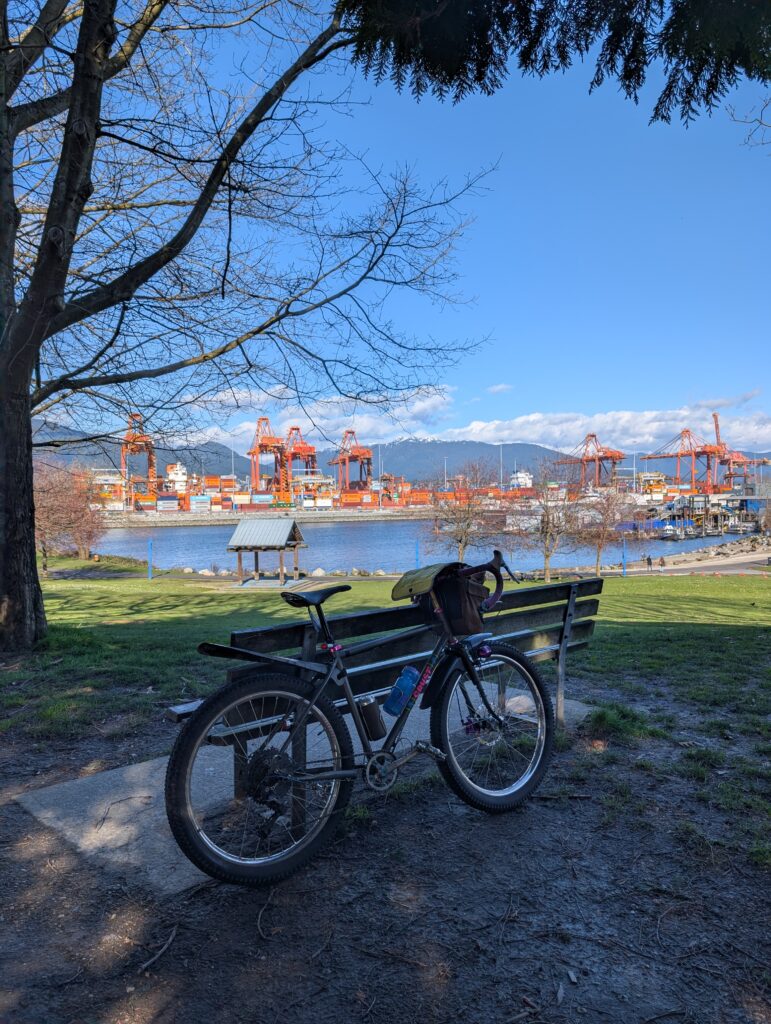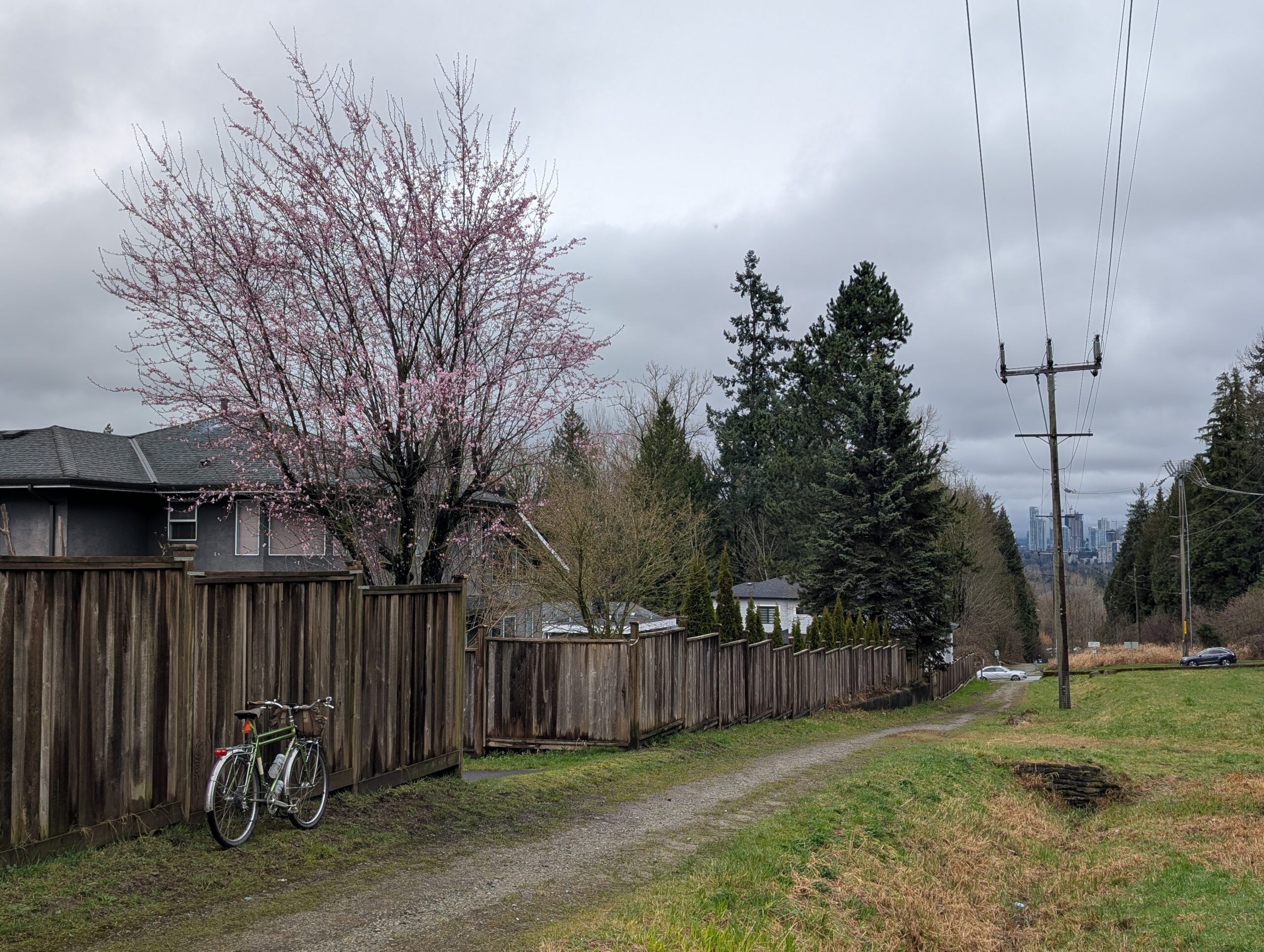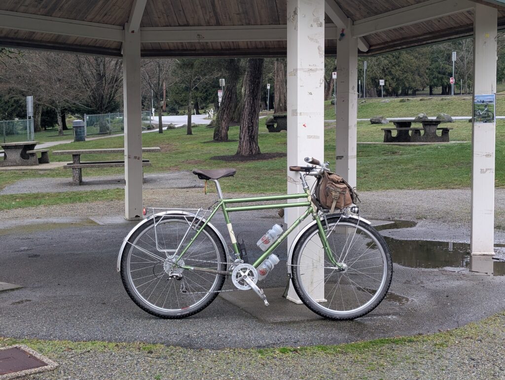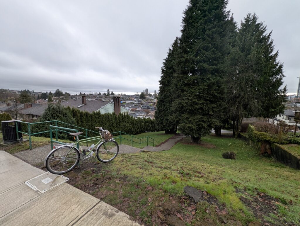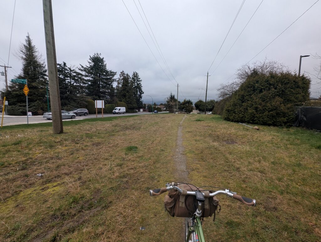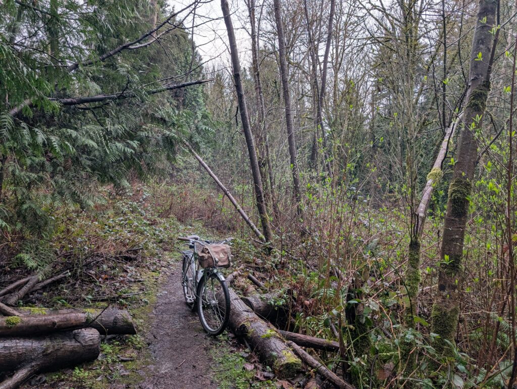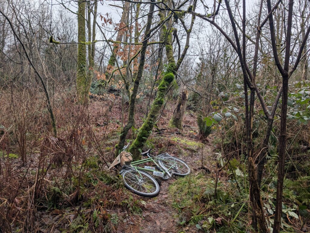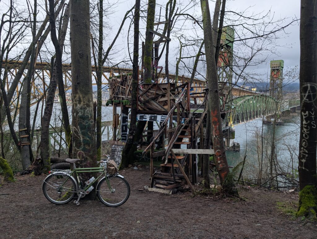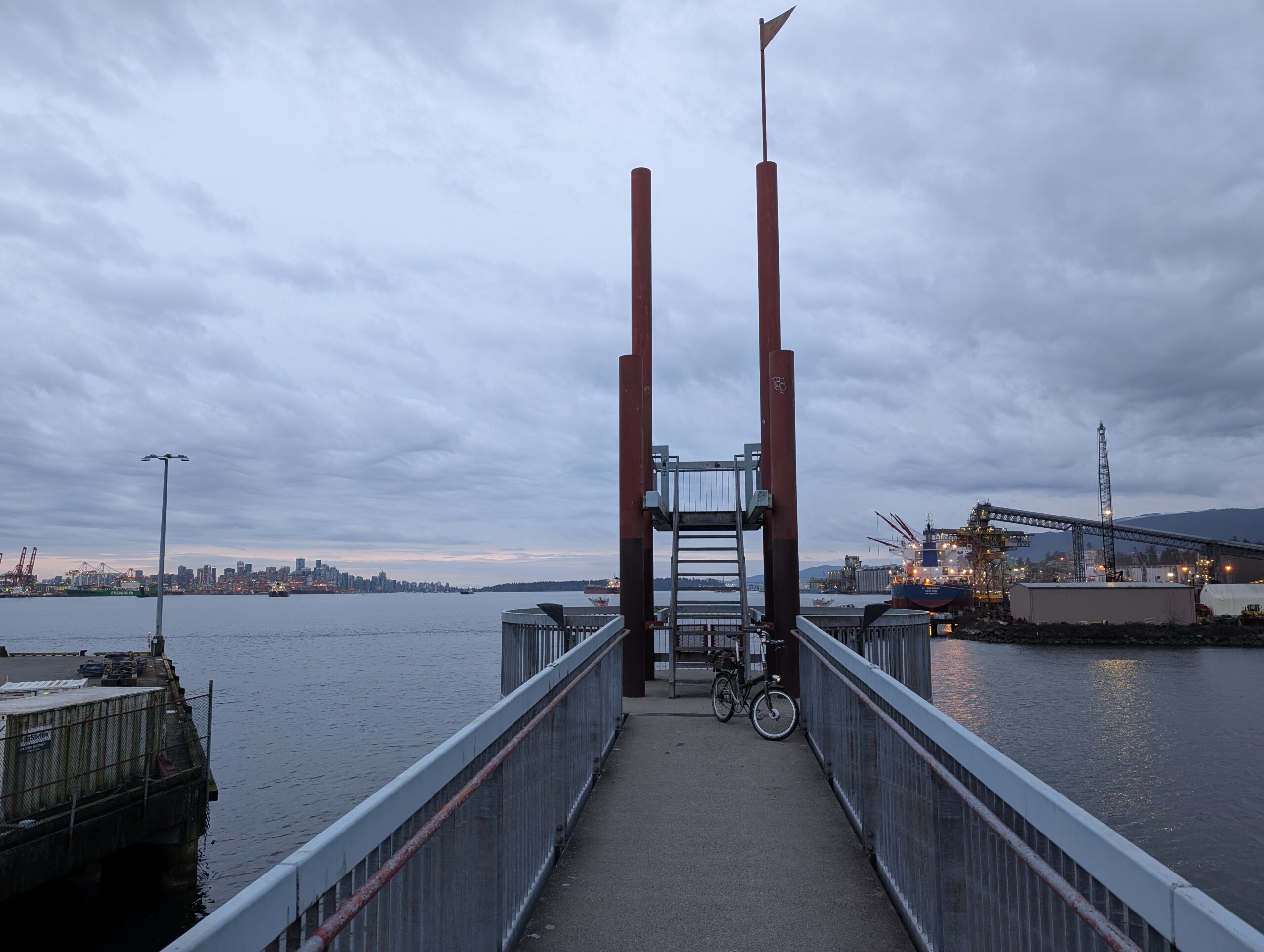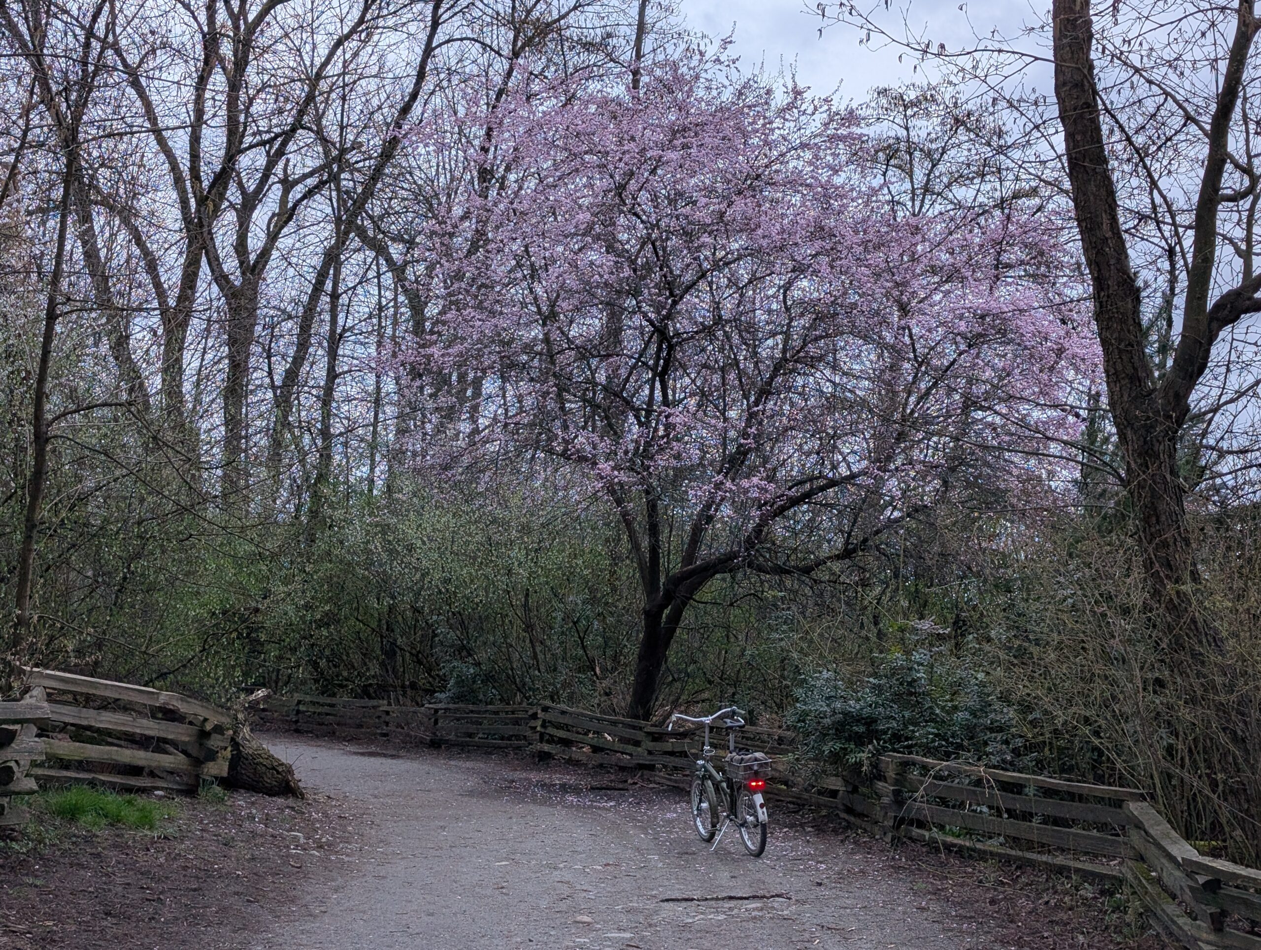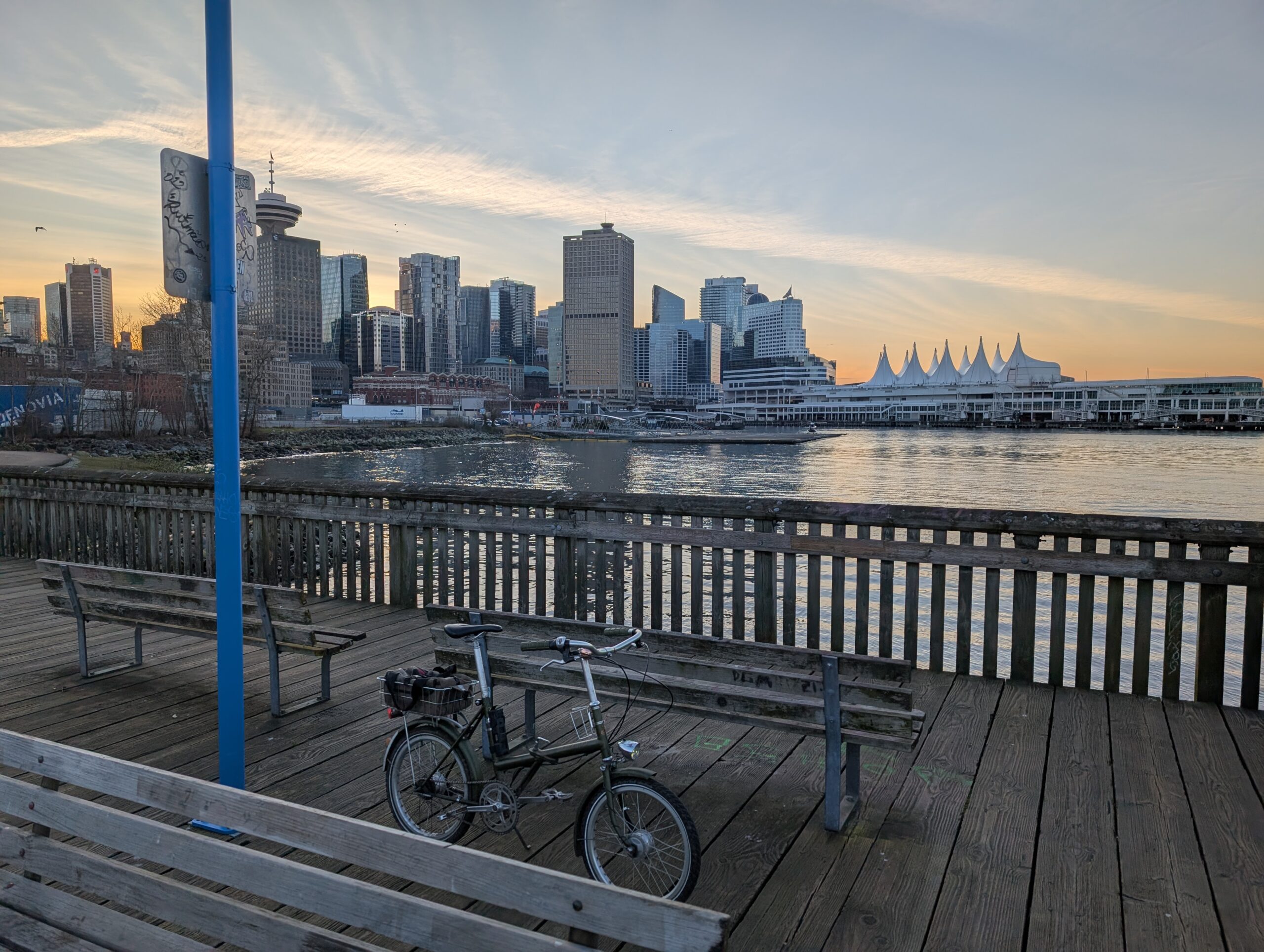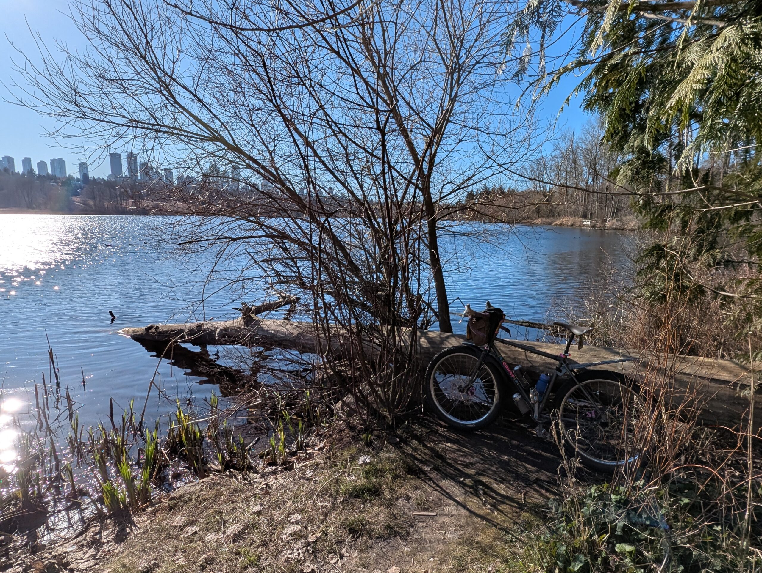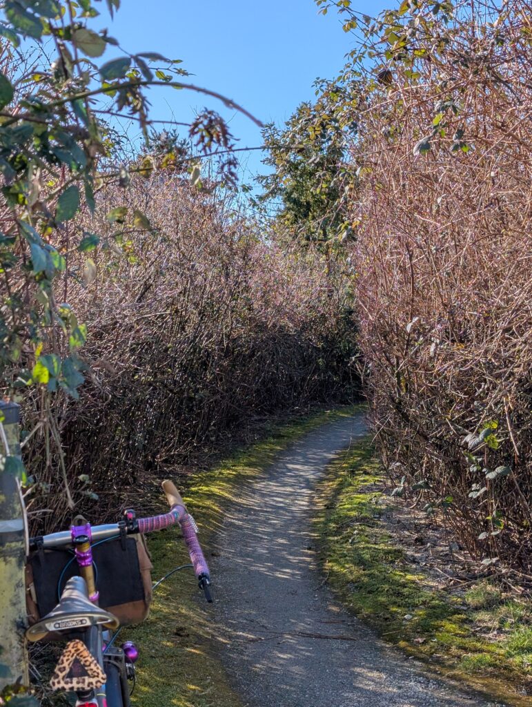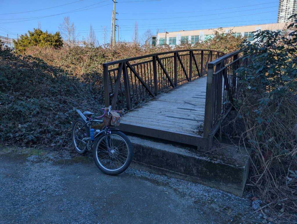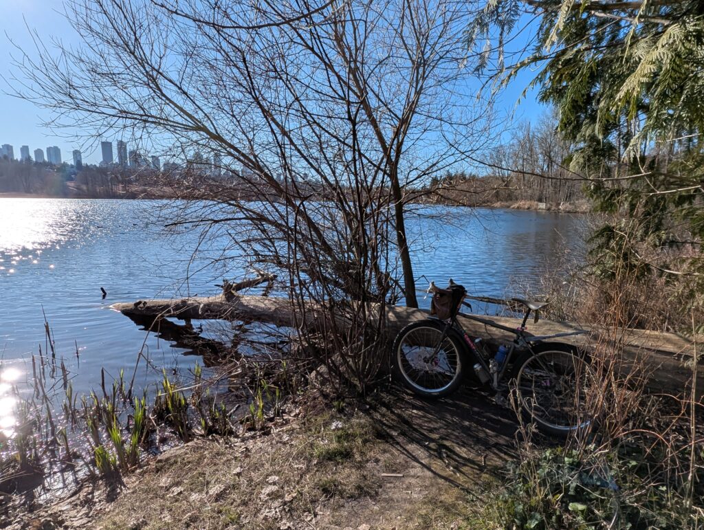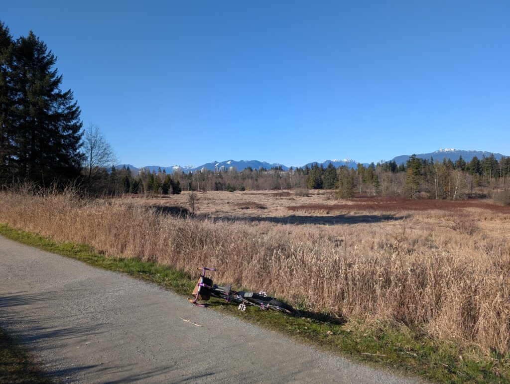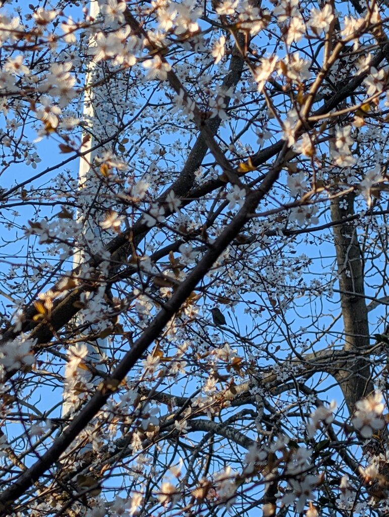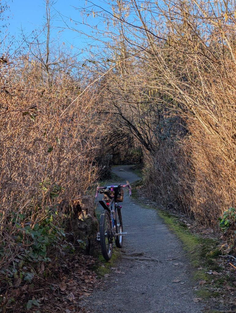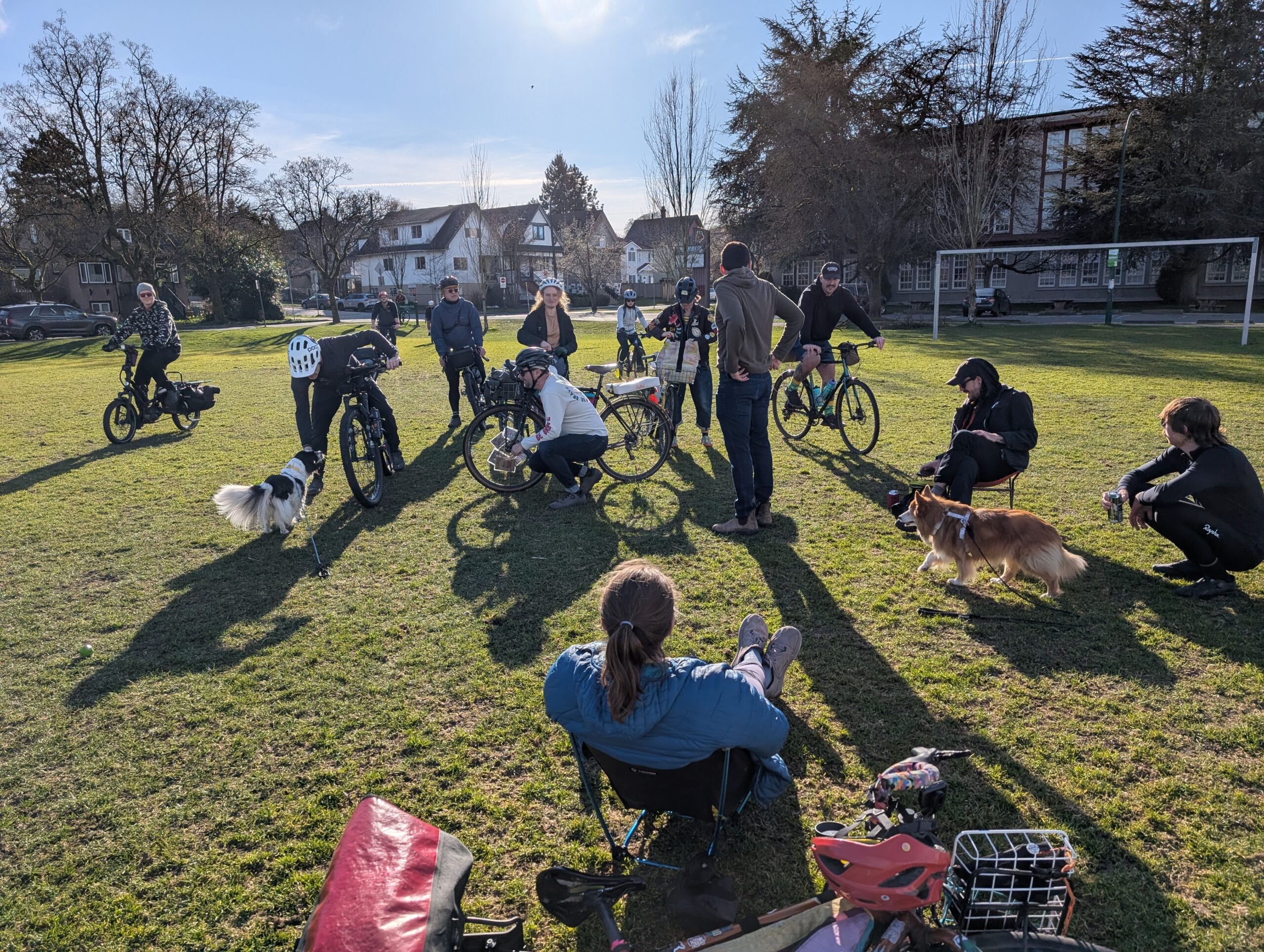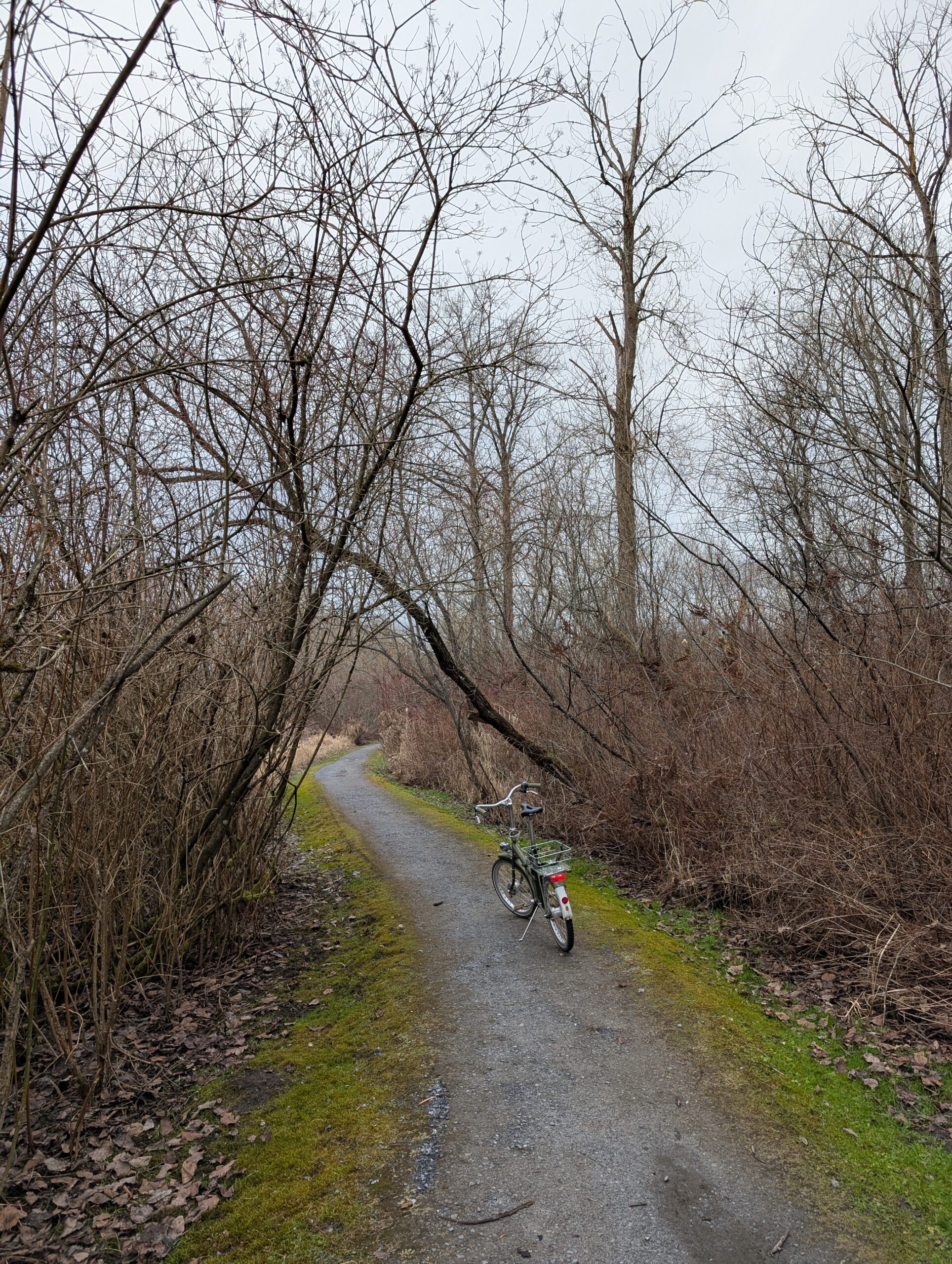
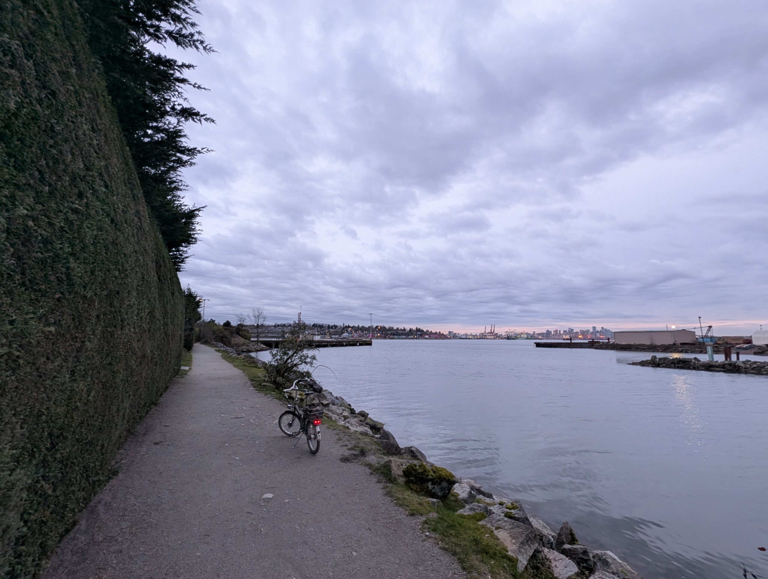
After a reasonably challenging ride yesterday, I managed to get out for a bit bigger one today (albeit flatter) to see off the Patullo bridge, whose decommissioning work begins in two days. A few friends were also interested so we met there, and apparently many others had the same idea – it was packed! They had a big line to get onto the bridge deck even, though that fell apart after a while (and I’ll admit I challenged it and ended up just cutting in). I think they vastly underestimated how many people would want to walk along a bridge deck in the sunshine on Sunday, knowing its imminent demise.
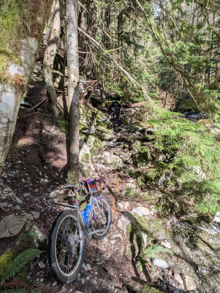
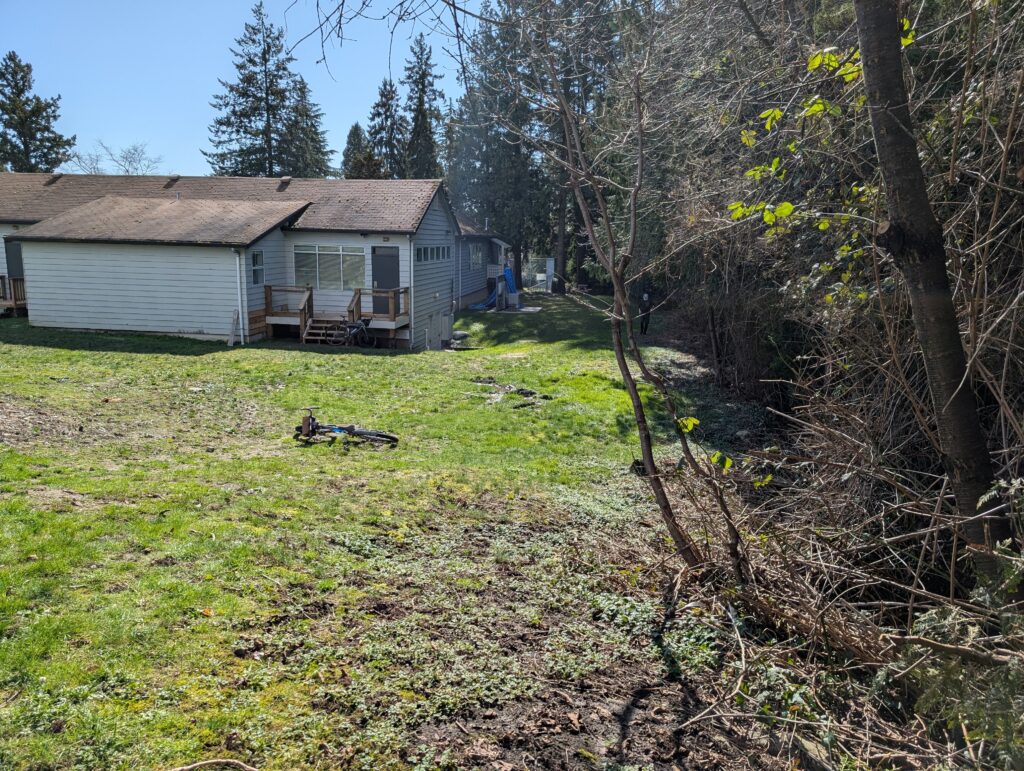
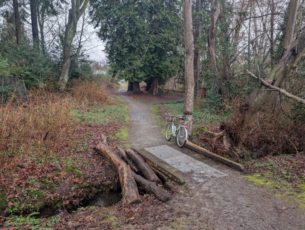
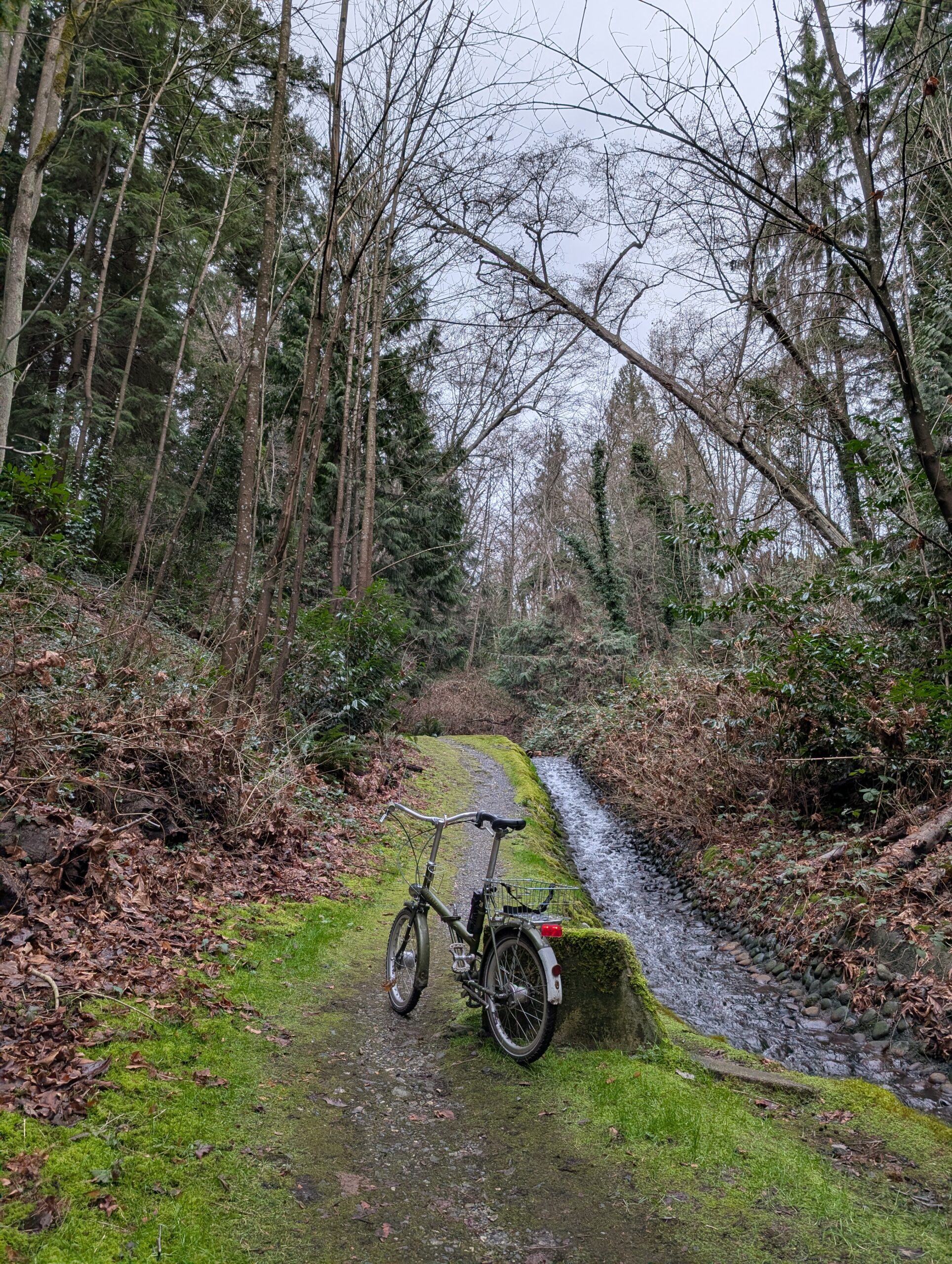
On the way there I took a bit of a meandering route so I could visit a few spots I haven’t been in a while. First was Kaymar Creek, pictured below. It’s a fairly short but sweet ravine, tucked away in a bit of a sneaky spot so few know about it – making it feel all the more special.
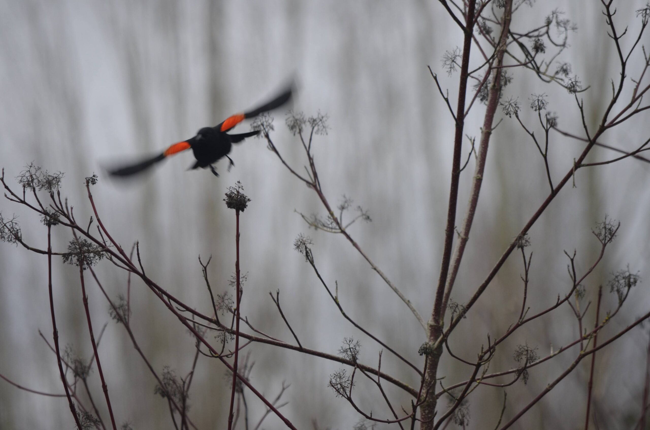
I also came across a flock of very friendly red-winged blackbirds, which for people out east is no big deal, but here they’re somewhat less common and I’d never managed to get up close to them before. Happy to check that off the list.
From there I wanted to check on a construction closure in Fraser Foreshore because it was a part of my Burnabop XL route but has been inaccessible for the past year and a bit. Turns out it’s going to be a while yet unfortunately.. large scale utility work going in. Guess I’ll need to plan the route accordingly – shame, this connection was rather wonderful.
A little while later we arrived at the bridge .. and I was floored by the crowds. I feel a little bit naïve that I was surprised – of course, on a sunny Sunday, the second-to-last day that it’s possible to walk the newly closed-to-cars bridge, it’s going to be popular. I guess word got out!
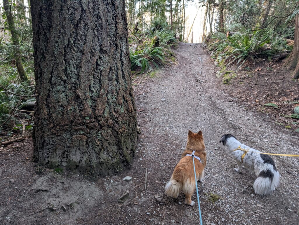
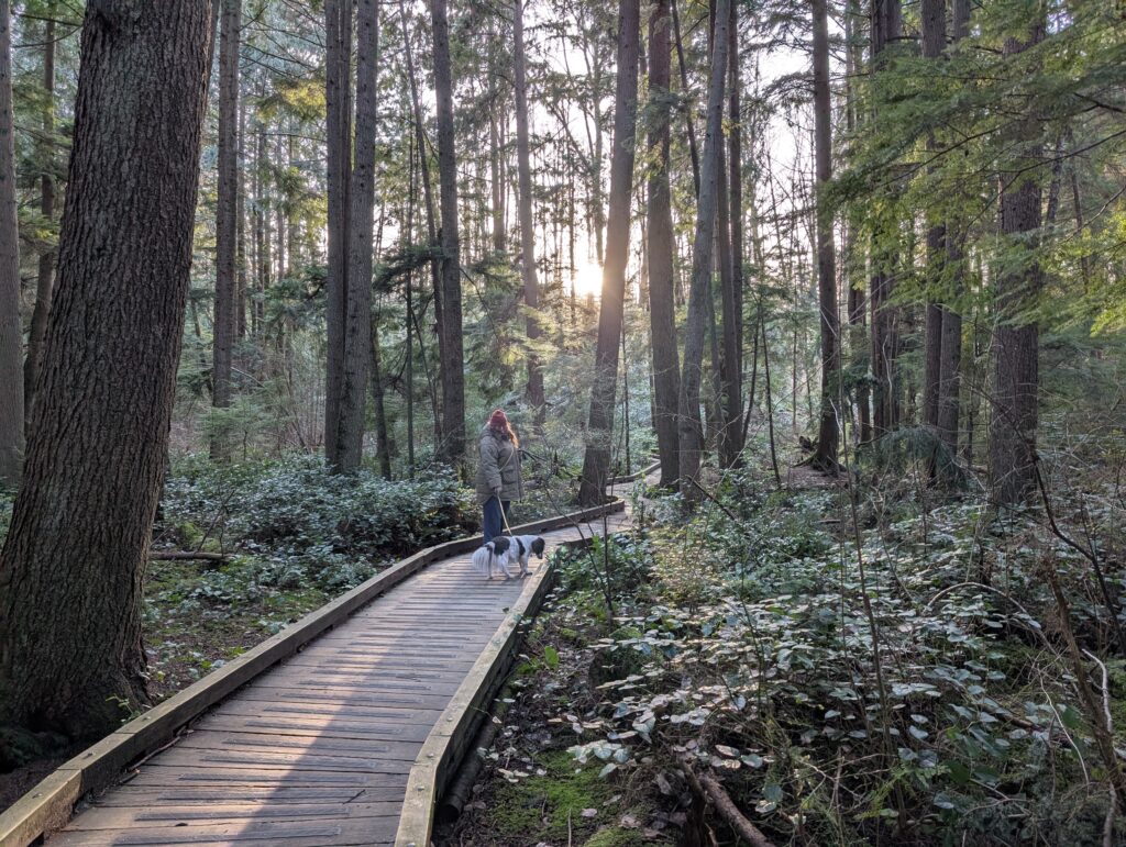
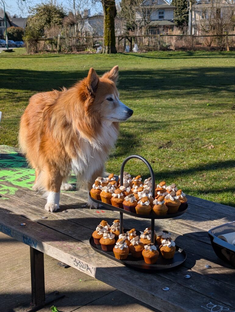
No photos of particular interest for the 25 kms from here to home, but once home I made a quick change to drive over to Burnaby Lake for a dog walk outing with my Mrs. Managed to fit in a ~60 min walk before it got too dark; an action-packed day for me.
Valentine’s Day was a sunny Saturday this year, and with plans made for late afternoon I was free to get some daytime exploring in solo. I set off to ride the latest iteration of the north loop of my route the Burnabop XL. Some of the most recent changes I had only ridden in the opposite direction so I wanted to check that it wasn’t too ornery to ride this way.
The above photo was taken about 15 km into the route, next to the local velodrome. The skies were moody and it was cool out, but rain was unlikely. The next section was Velodrome Trail, a hilly but beautiful stretch of trail along the north face of Burnaby Mountain. One of my favourite things about this trail are the massive big leaf maples in this area, including the specimen below. I dragged my bike down to the base for scale – it’s trunk is 5 to 6 ft diameter and must place it near the top of big maples in Canada. The biggest ones in Canada are in Stanley Park and I’m keen to compare.
The sun came out properly while I rode along Trans Canada Trail along Barnet, below. Most cyclists take the adjacent road because it’s quite a bit more efficient, but unless I’m desperately pressed for time you’ll find me down here on the much more pleasant trail.
A rather low traffic gem of a trail, Hang Your Hat, is closed with no indication of a long term plan. I’m glad I’ve ridden this trail as many times as I have, because I fear they won’t bother to replace the rotten bridges. It also features a viewpoint that feels like a secret because it’s on an even less-used side loop.
The Trans Canada Trail section ends once you reach Port Moody, and from there it’s a 75m climb along the spine between two ravines, a trail that isn’t well known but is definitely well rutted.
Something I didn’t notice previously, having only ridden the trail in the opposite direction, was this car that’s been largely reclaimed by the forest. It’s only about a block away from existing roads, but hard to imagine how it got here nonetheless.
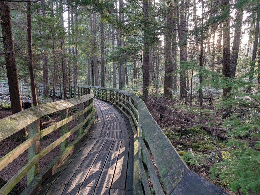
The climb was hard but not too long. There were a few blocks of neighbourhood roads and then a boardwalk crossing of the adjacent ravine. Not very bikeable, but a lovely natural area. Lots of birds to listen to.
After that it was more popular paths and a stretch of notoriously muddy trail that really delivered on that promise today. I stopped at Dageraad Brewing for two small pours before my regular neighbourhood noodle home from there.
It’s been alternating wet and dry days lately. On Monday I commuted in the rain to work (though got home in a dry window), of which I’ve no complaints as it was a balmy 6 or 7 degrees Celsius. Today was sunny and cool, and I started work (from home) a bit early so I could get out on the bike in time to ride up to my favourite sunset spot before dark.
Said sunset spot below. This is Capitol Hill Reservoir Park, for anyone local who might be reading and curious. I took the direct route here, which is a brutal climb of 15+ percent grade, but it gets you there quick.
On the way back I had in mind the trail network on the north slope of Capitol Hill, which is a confusing web of trails that are lovingly maintained by the locals. A group known as the Capitol Hill Tree Keepers, who’ve put up signs on old stumps with information as well as made a cute little social space in the woods complete with chairs and tables, as well as labels for the various native plants surrounding it.
Some remaining sunset awaited me once I got out of the woods (so to speak, but also, literally). I’m very curious about this road, which is gated in the distance and has been left to be slowly consumed by the forest. It’s a rare example of a development opportunity not being taken, and I love to see it.
Caulfield is one of the most west, and most expensive, neighbourhoods in the already very affluent West Vancouver. It’s along the steep rocky bluffs near Lighthouse Park; so steep and rocky it’s quite a feat that roads were able to be carved into the hillside, let alone the impressive mansions dotted between the trees. A lot of the most notable architect-designed homes are in this area.
Caulfield is perhaps less known for its network of little trails connecting up various dead-end roads, but that’s what’s most note worthy for me. These little trails tend to be locals-only knowledge, and the neighbourhood pride is evident in their maintenance and construction.
I’d already checked out a good number of them previously, but some remained unchecked, so I gathered my always-up-for-a-hike-a-bike pal Rob and we headed west.
The first 20 km were nothing new, and I didn’t take photos. The staircase top left I had recently climbed, and I’ve posted a photo of on my blog I believe – it looks a little bit brutal, but isn’t too steep so it’s not bad at all. The stairs top right were in Plateau Park, a descent of 70m that were decided not to do – and thank goodness, because we’d have missed out on the highlight of the trip.
Between the two above staircases was this tunnel, below. The street it’s on is a bike route, one I’ve taken many times, but this tunnel is very well hidden and it’s very unlikely anyone passing by knows about it by sight. Its purpose is to connect the homes on this side of the highway with the school and strip mall not too far away on the other side of the highway.
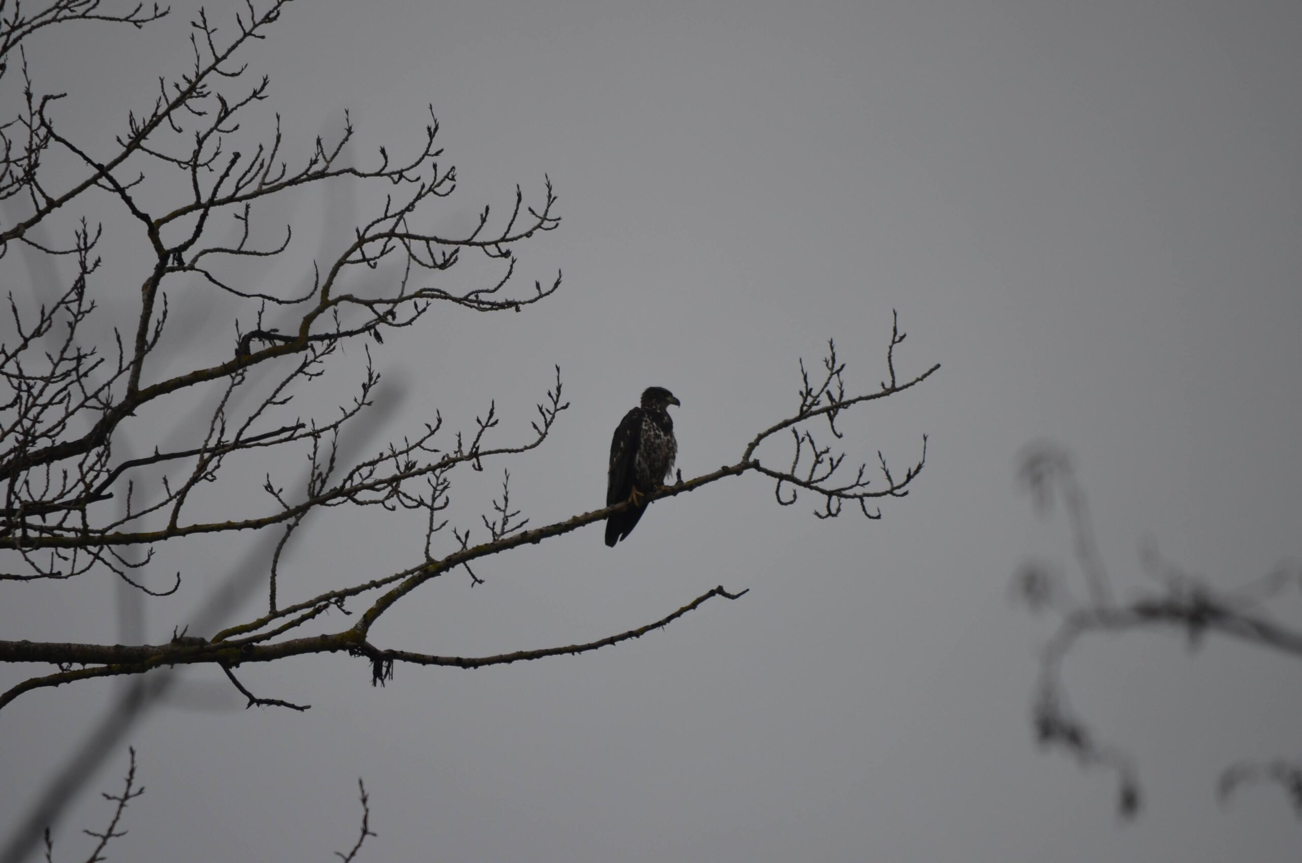
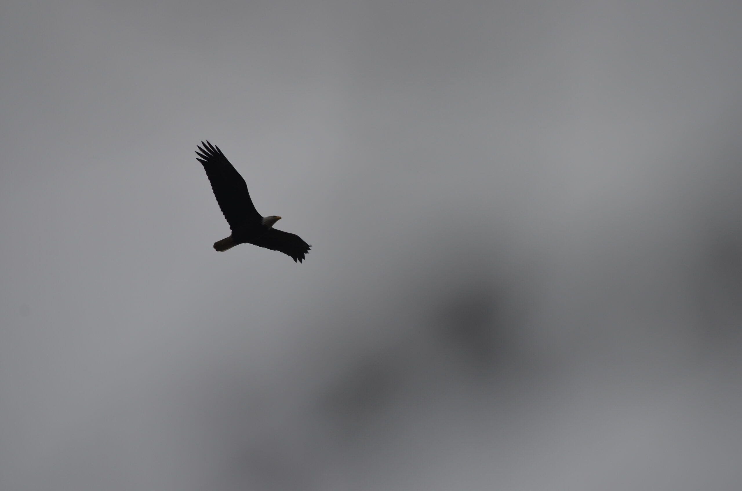
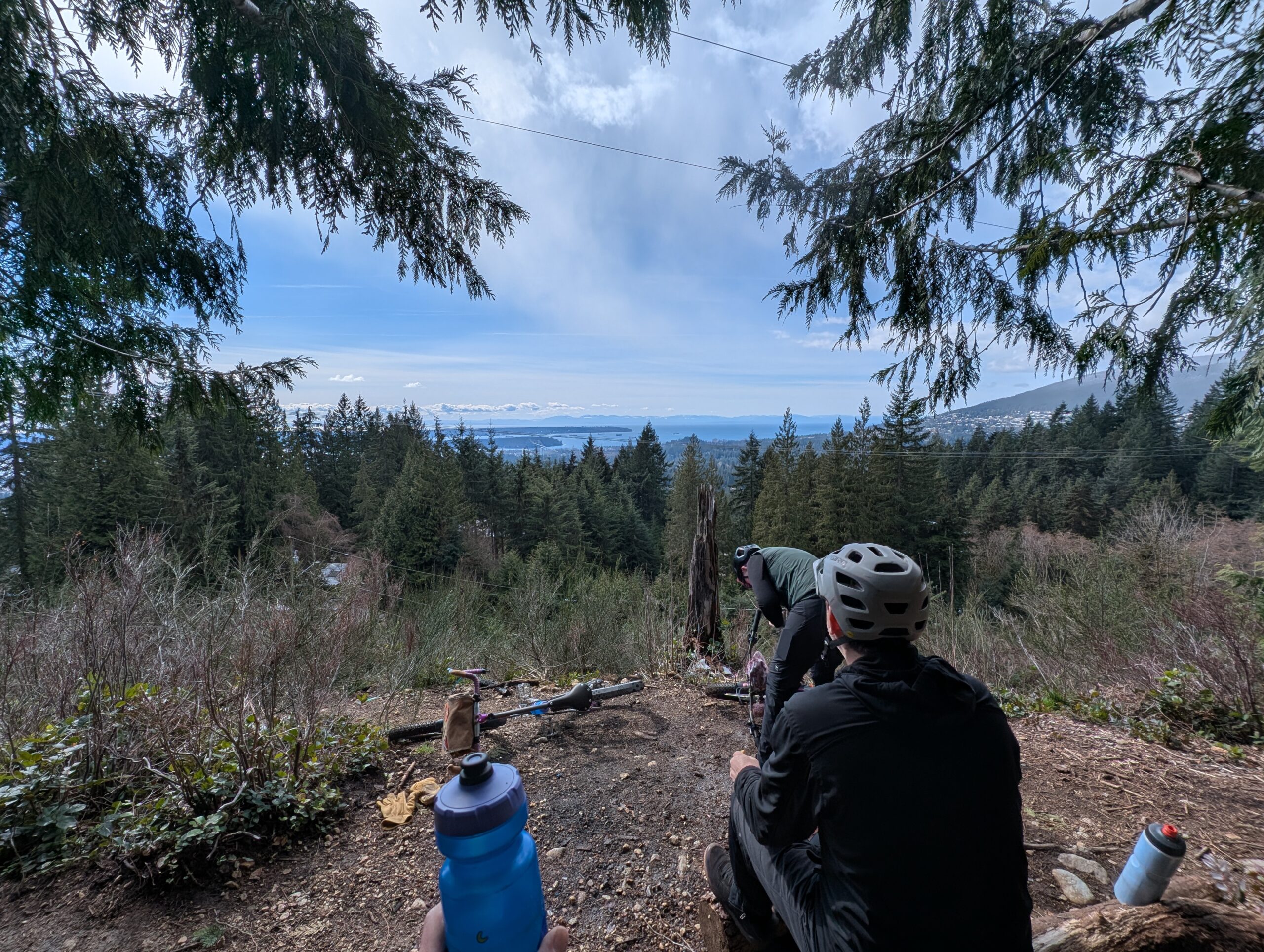
Instead of that 70m descent through Plateau Park, we followed the street a little further to a couple other short trails we’d noted on Open Street Maps. At the viewpoint below I knew we’d make a good call. To make things significantly better, a group of 8 or 10 eagles were circling above us and putting on quite a show. Neither of us, nor the locals who passed through, had ever seen so many together.
These bluffs were also home to some extremely tall, slender trees. We spent about 40 minutes here, soaking in the views and nature, and enjoying a pilsner each.
The beautifully constructed stone staircase above was something I noticed by chance just after we’d gotten back onto a paved road – it wasn’t the direction we were planning to go, and it was obvious from the start we’d lose a lot of elevation – but it was much too enticing to not check out. It wasn’t showing up on our map either!
It was wide and well graded, but clearly abandoned at some point. It also got steeper and steeper until the comical exit to the road – a literal scramble down a series of retaining rocks. I have to imagine this trail had a clear vision at one point, but I’m not sure what the plan was at the bottom – perhaps some switchbacks?
Regardless, it was a really fun little connection that actually ended up re-connecting to our original route without much fuss. The rest of the ride, of which there was plenty remaining, was much less note worthy, though just as pleasant. I took some muddy trails through Stanley Park and connected with friends for the seawall ride home.
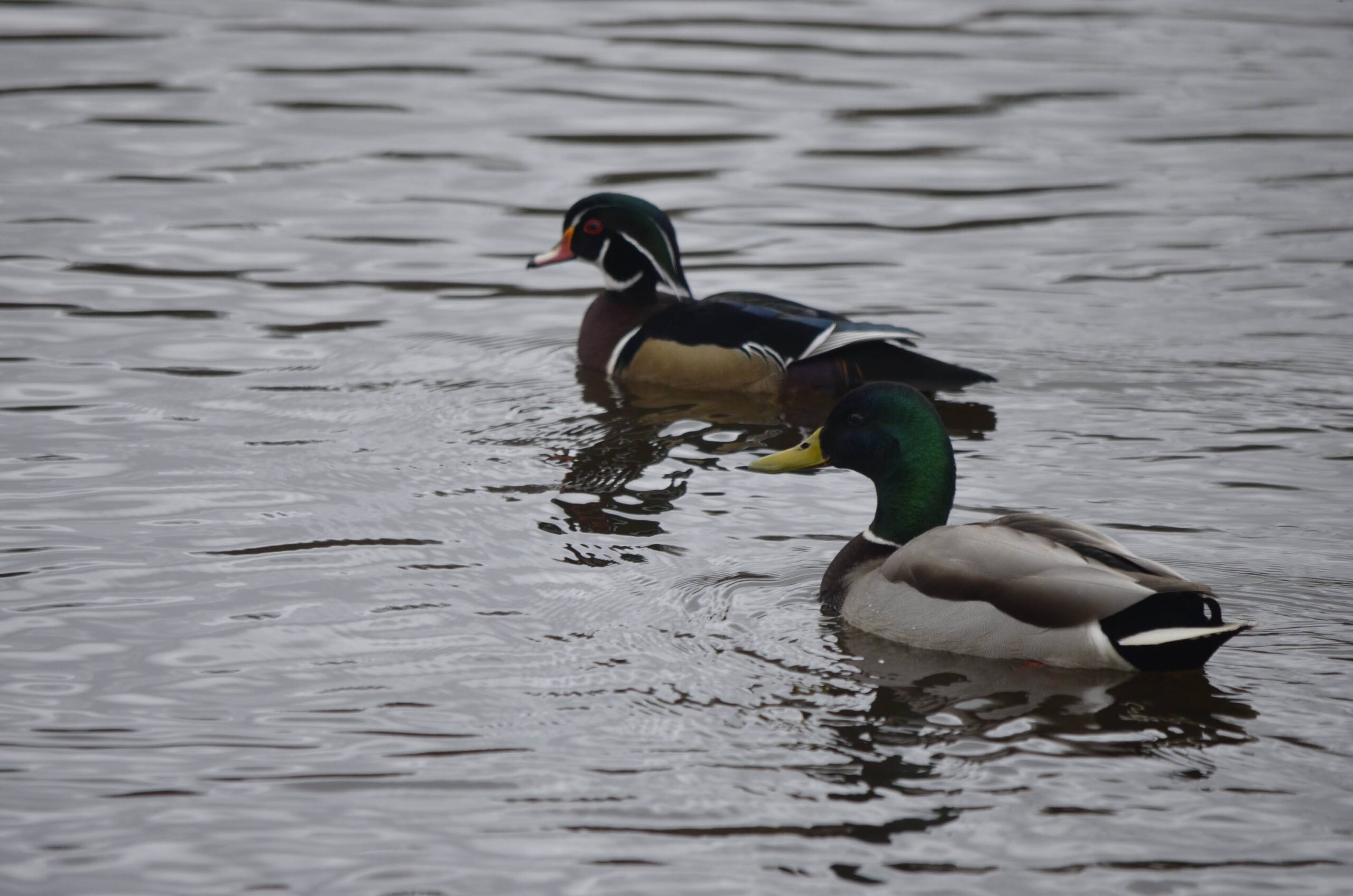
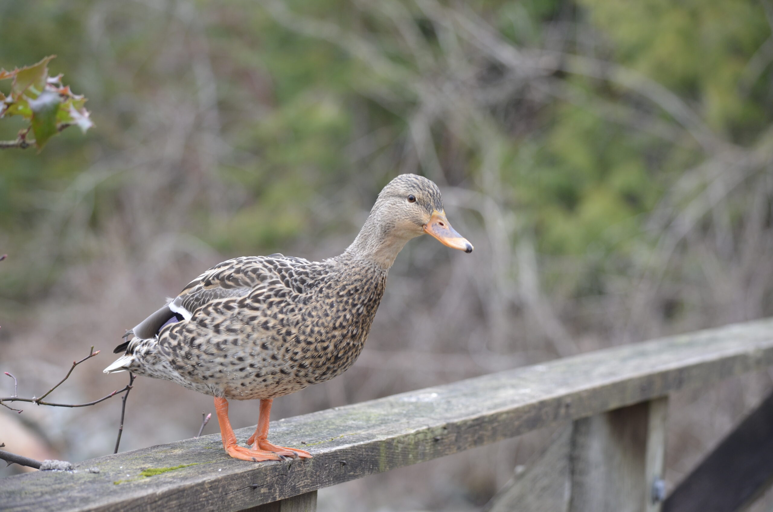
Today, Saturday, was forecasted to be what we call an atmospheric river these days. Tomorrow is looking more or less dry. Yet I don’t sit still very well, so I put on the poncho and headed out with my camera to try to get some more bird photos. The photo below is from my phone though, overlooking Beaver Lake in Stanley Park. I did get some “real” photos here too of a snoozing wood duck among the many mallards.
Another phone photo of four cormorants watching the kayakers along false creek inlet.
Riding through the forest in the rain is quite lovely, but I had it in my mind I’d go get some water fowl photos at the pond at Ambleside Park, known for a good selection of birds. My poncho did a good job for a while, but the rain and wind both picked up and left me pretty soaked after a while.
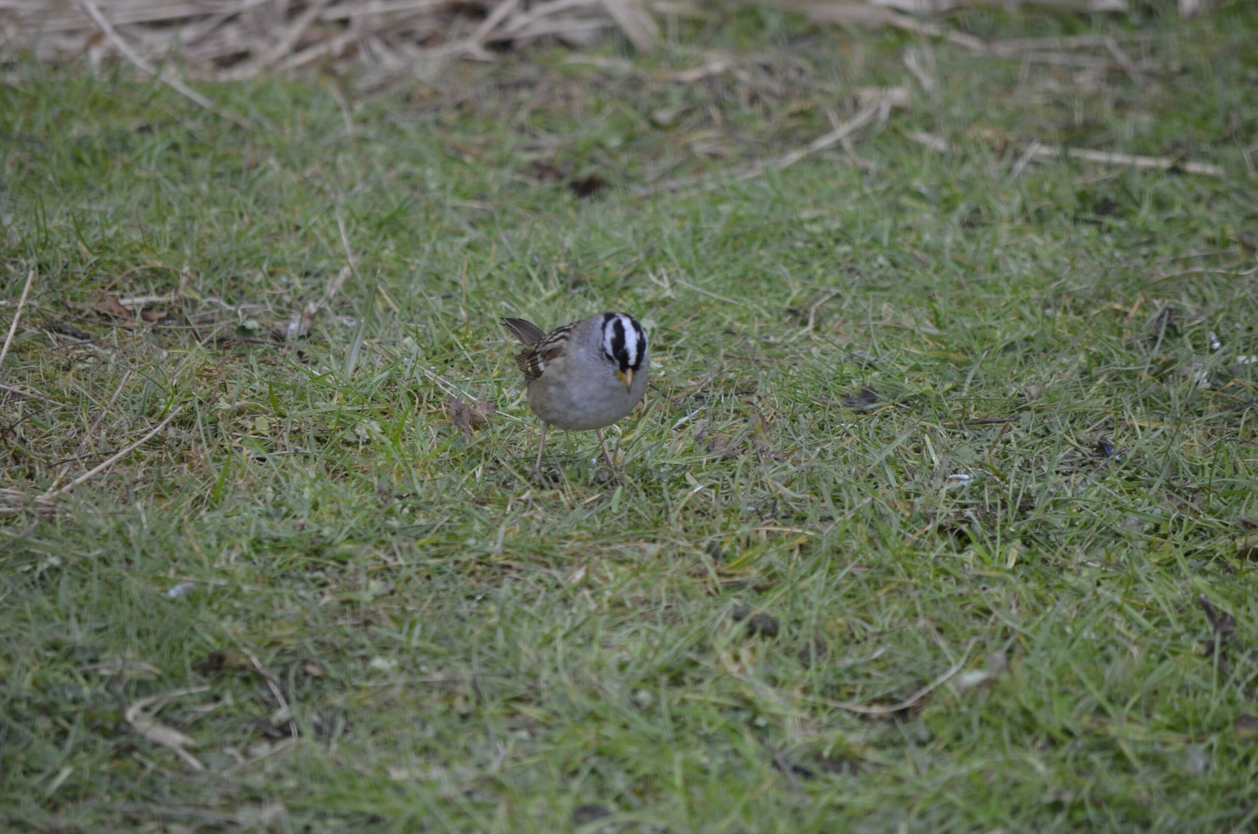
No particularly great photos today, not the least because I realized late in the session that my UV lens had a haze on it that was making photos low contrast with grey blacks. But I’ll share anyway – wigeons, mergansers, wood duck, the aforementioned cormorants, and a little pack of golden crowned sparrows.
The ride ended up being over 40 km. Hoping to better that tomorrow!
February carries more optimism than January. The days are becoming longer, bit by bit. Winter’s far from over, but we’ve experienced our first taste of spring promise the past couple days with warmer, dry weather.
Another thing that’s happened to me the past week or so is that my interest in birds abruptly jumped up a level. I went from noticing and appreciating them but not really thinking about them otherwise, to suddenly thinking about them – and about seeking out those I’ve not yet seen.
On the 1st of February I headed to Lost Lagoon after work, or more specifically the grasses just to the east where a noisy population of red-winged blackbirds live. I saw lots of them when in Ottawa in the summer, but I actually didn’t realize we had them here in Vancouver until after that – they just aren’t as prolific, with populations mostly limited to a couple spots around town. So I set myself a goal to bring my little point-and-shoot and get a proper photo of one.
I failed to, but I did see them flickering about in the tall grasses. Then I went over to Lost Lagoon once it was too dark to bother any longer and got this photo:
The warm and dry weather came on Tuesday, and I took the opportunity to bike commute – and also to have a picnic sushi lunch in the orchard near work.
The week continued to be lovely, though most daylight hours were spent at my computer working.
Friday lunch beers at Strange Fellows has become a monthly tradition with my friend Nick, and the weather really came through this time. We’ve had comically bad luck in the past, including July and August meetups that ended up with surprise downpours. Nick was riding my old Stooge Tracker, set up as a kid haulin’ trail bike.
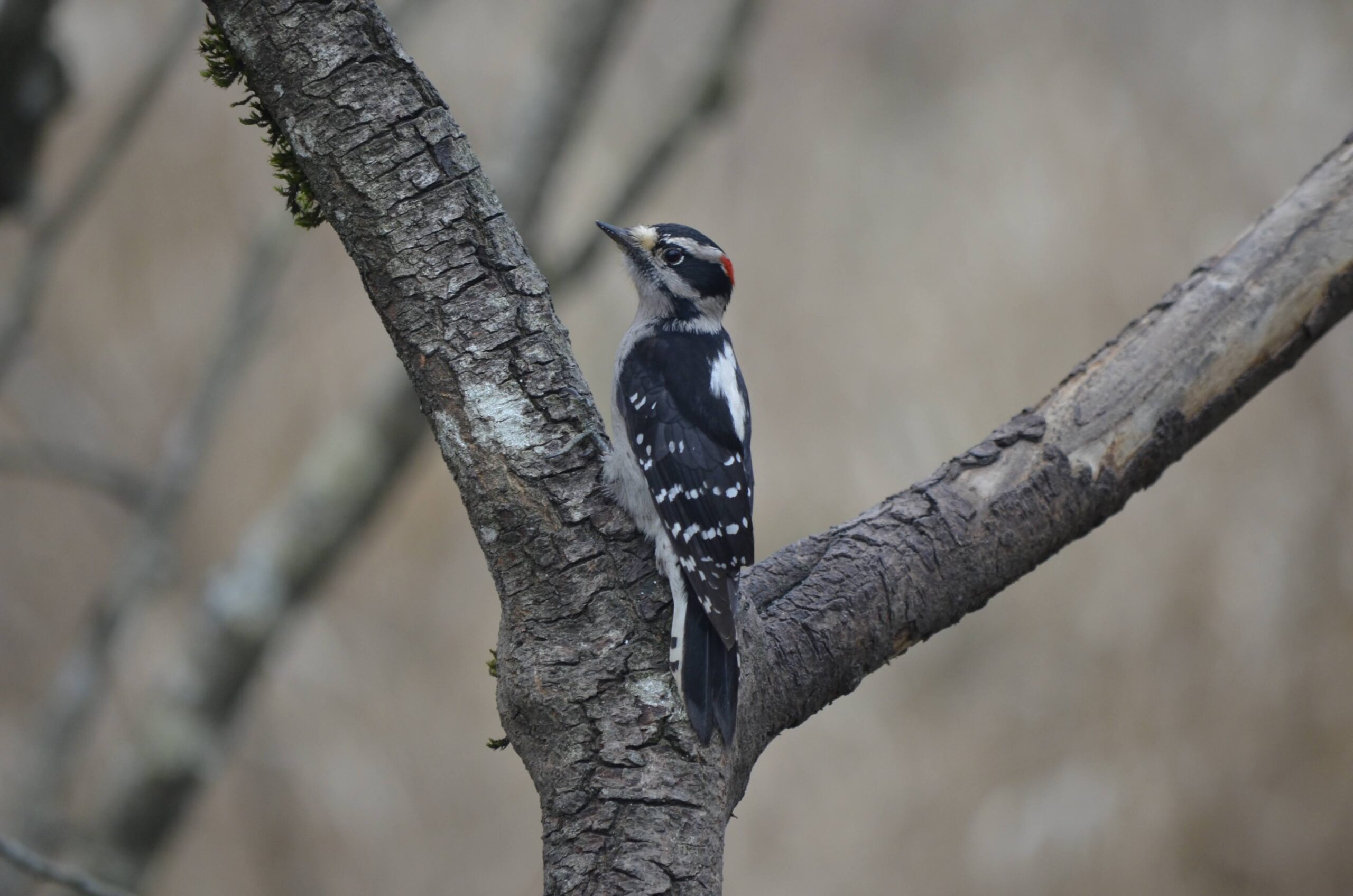
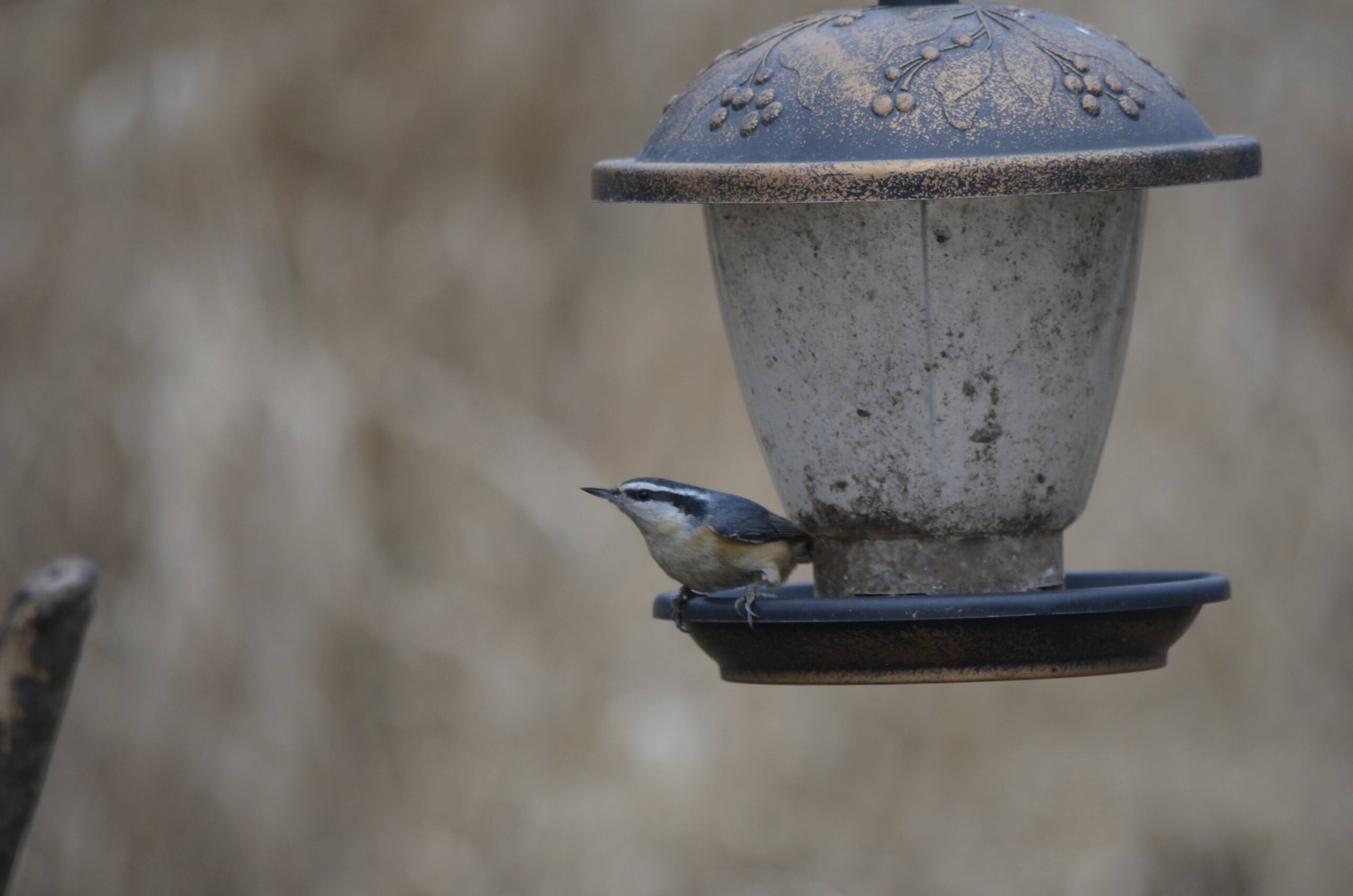
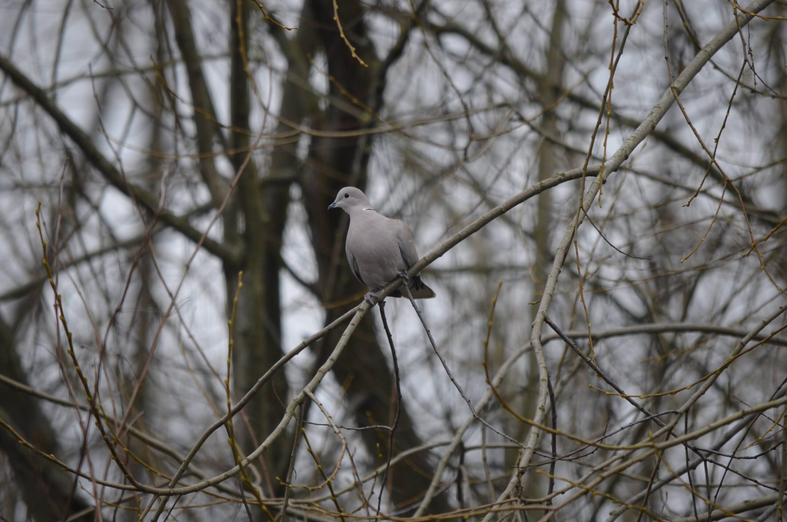
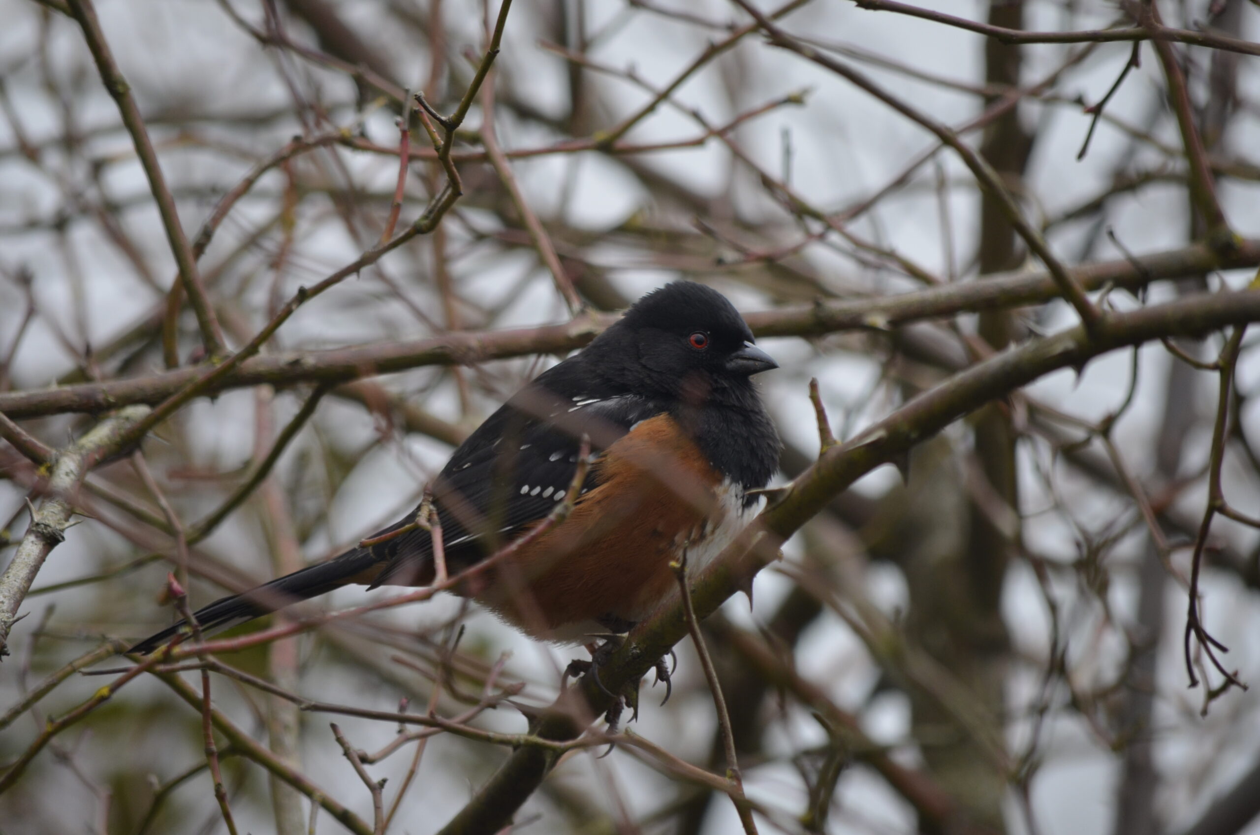
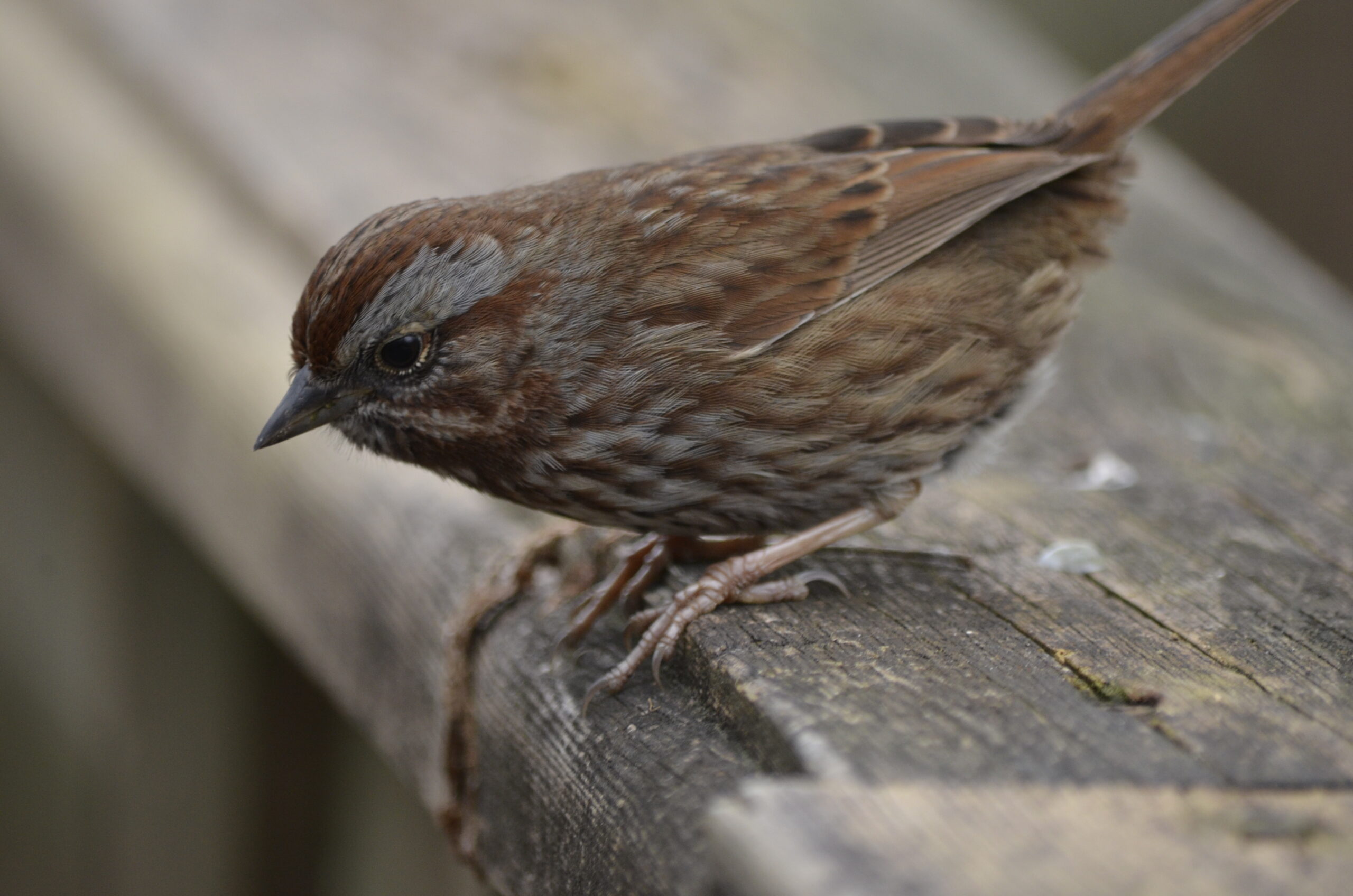
Afterwards I took my old DSLR over to Strathcona gardens to practice bird photography. Juncos and robins were everywhere, but I was pretty happy to spot (and get a photo of) a goldfinch, first photo. Next two are a song sparrow (I believe?) and bathing robin.
One of the main motivations for getting a little more intentional about birdwatching is so I can pair it with riding – giving me newfound purpose and destinations. I already really enjoy riding to a nice spot within nature and settling down for a bit, now I can also take the camera along and have something to do while I’m at it. We’ll see whether it sticks.
After putting together monthly recap posts at the end of 2025, I realized this could be a good way to post up random photos or moments from the month that don’t warrant their own post, so figured I would try to keep that habit going. January felt pretty quiet, so I had only made two posts (both in the last week of the month), but now that I’ve combed through my photos I’ve realized this will end up being pretty long!
The month started, of course, with New Years Day. I had an imperial stout the night before after a couple ‘regular’ beers and was not feeling 100%, but got out for about 25 km of noodling around East Vancouver on the Evasion.
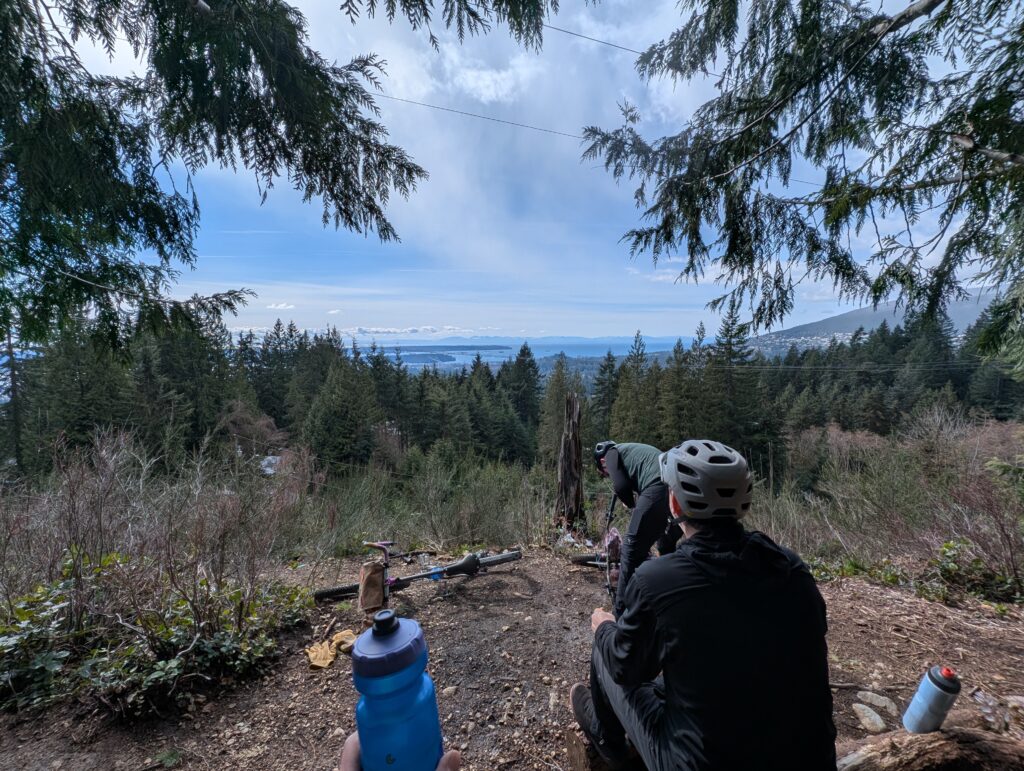
On the 2nd, I had a plan to ride out to see the new and old bridges between New Westminster and Surrey; the old Patullo bridge would be coming down soon (I wish it was being saved as a pedestrian / cycling bridge!) and its replacement, the Stalewasem, is partially open now. It’s about 25 km each way to get to it, and I enlisted my friend Rob.
A couple days later, just before it was time to go back to work, I got out for another Burnaby Mountain loop. I followed the small trail under the powerlines up the west side of the mountain, then looped around clockwise on the Trans-Canada trail – a beautiful stretch of trail that can get a bit busy with walkers. I hadn’t ridden this in about two years, as I’m usually on the lower Barnet trail.
I took the Evasion on the blue-rated MTB trails around the mountain and it was a lot of fun – the plus-sized Rangers are plenty grippy if you’re not pushing too hard, and the dropper of course is a must-have.
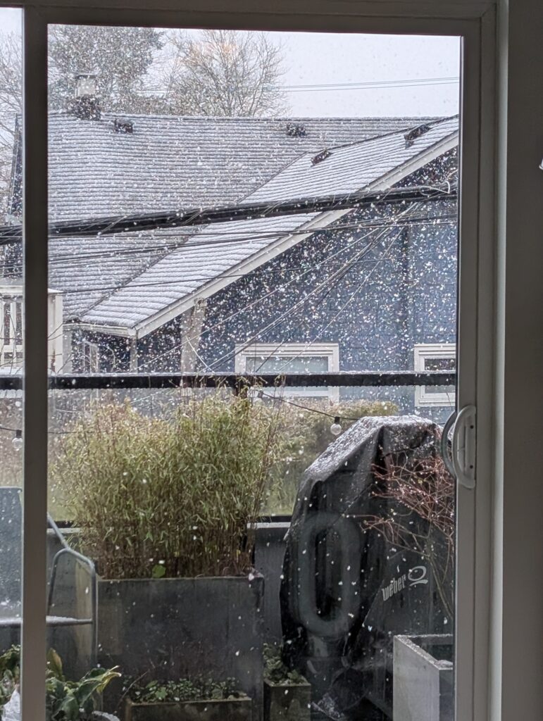
On the 8th of January we received a dusting of snow, which remains the only snow we’ve gotten so far this winter. Sunny was stoked, Leia enjoyed it much more stoically.
‘Tis the season for taking advantage of every small opportunity to ride, such as the ~10km loop on the Twenty which generated the image below. The snow had receded up the mountains but it was still pretty cold.
I ended up riding the following night as well, this time to pick up a new coffee setup downtown. I watched the clouds as a low pressure and high pressure ridge collided, creating quite the visual.
On the 11th, which was a Sunday, I took a chance with a small break in the rain – the rain held off long enough for me to get up to the viewpoint shown below, but I got rained on the ~5km ride home. Love the poncho though, underneath I was quite dry! It works with the front bag to offer extra leg coverage.
The rain continued on, with temperatures just high enough to keep things wet. This is the reality of Vancouver winters, but I still feel really lucky we have this instead of snow and frigid temps.
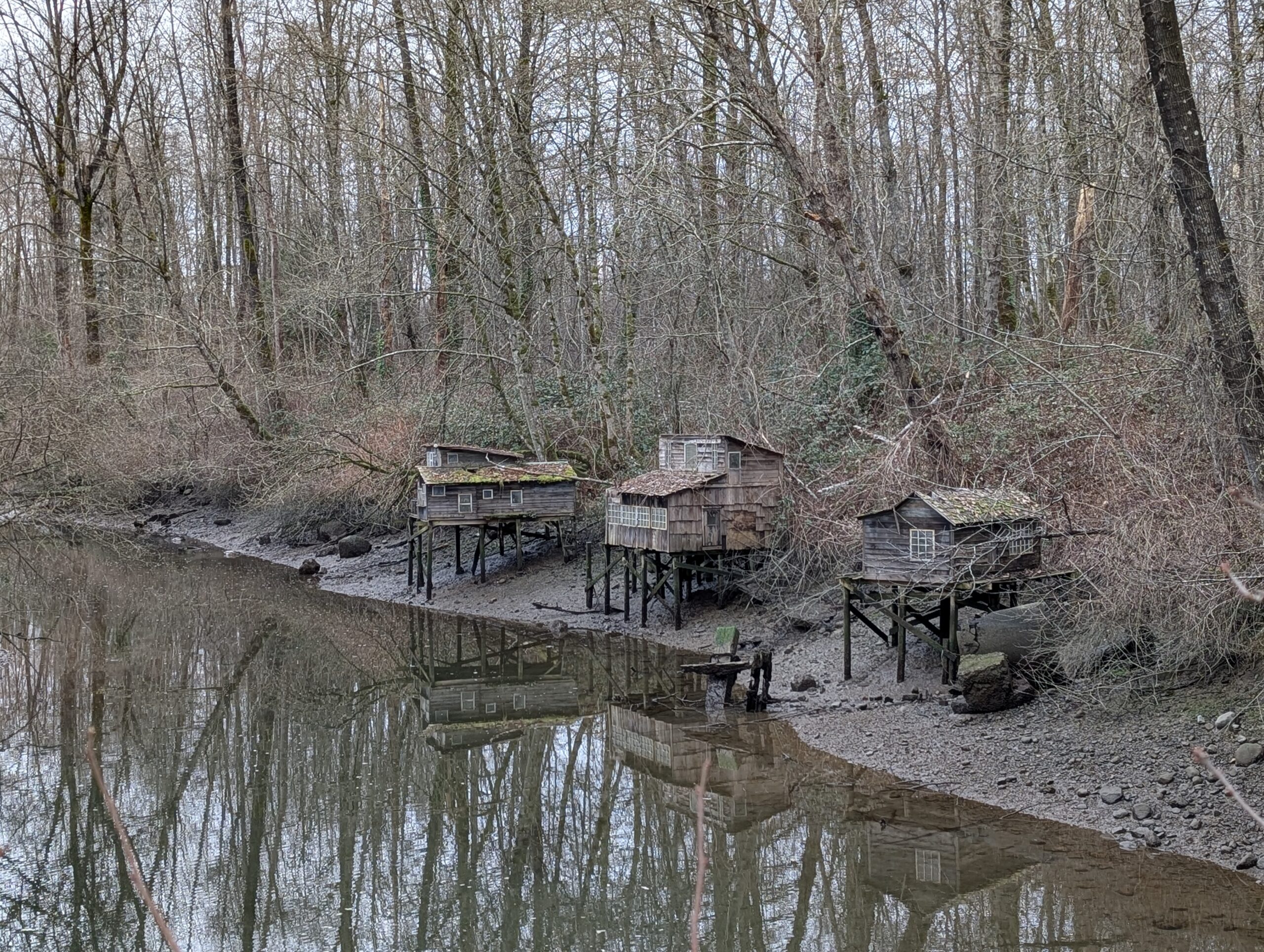
I commuted home mid-day during the following week and took the opportunity to ride past three funky houses that are loosely along the longer route I can readily take.
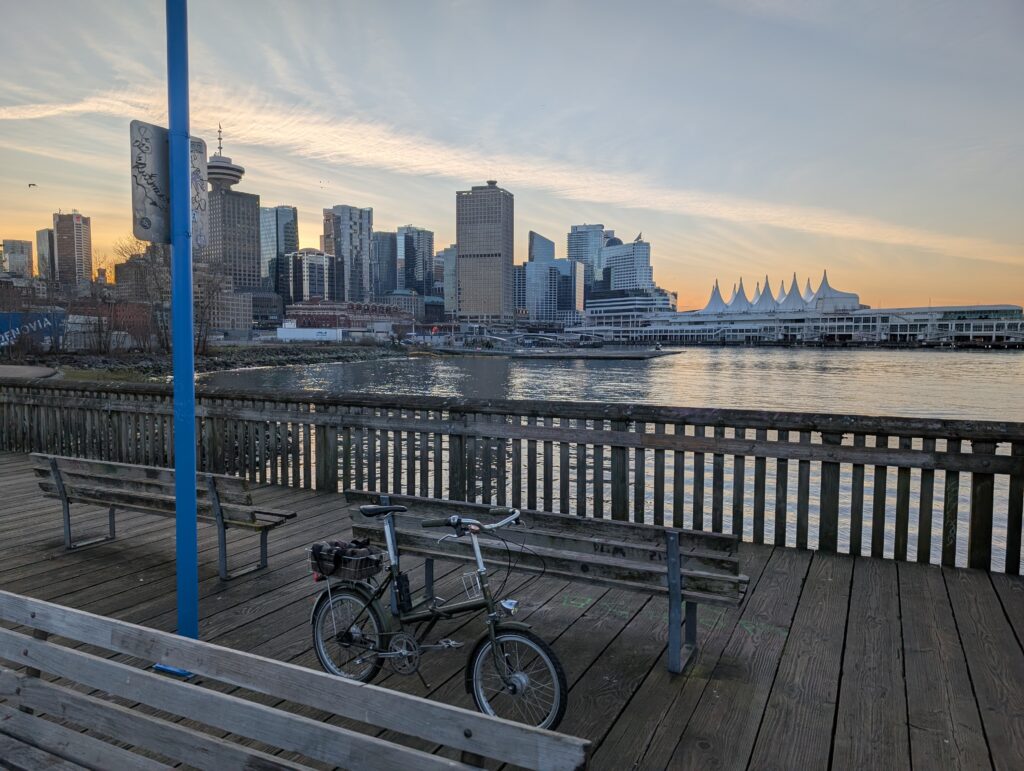
On the 17th, a Friday, I left home for the downtown waterfront to meet up with Rob for a cold one in the cold air. The days are inching longer, not entirely dark when I get off work at 5pm now, but the light was all but gone by the time I made it into town. We rode into Stanley Park and followed some gravel paths before working eastwards towards my neighbourhood.
Saturday was errands day, and we took the pups with us and worked a walk in as well.
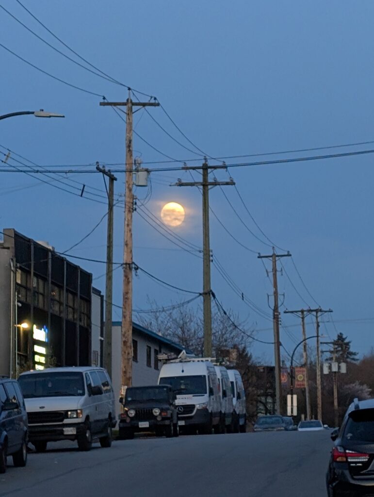
But Sunday was back to bikes. I rode the Evasion to the first Parkbagging in over two months – Sunset and Sutcliffe parks. We were wrapped up before 3pm, so I made the most of the remaining daylight with a 2-bridge loop around North Van. Of course I couldn’t just stick to the nice lower-elevation paths either.
In fact, it took the better part of an hour just to get through Stanley Park because I chose to take small, often unbikeable trails instead of the main paths. I also ran into an older fella and had a 20 minute chat.
When I did finally reach the bridge, I was treated to the scene below, with a clump of fog holding onto the bridge but with clear air above me. Pretty neat!
By the time I was halfway across North Vancouver, the sun was starting to drop below the horizon. It was a beauty sunset and a really nice day out.
Over the following week I got another after-work loop into town on the Twenty as clear skies became more commonplace.
Rob and I got out after work once again for a very chilly ride up to QE Park, one of the best lookouts in Vancouver proper. It was getting cold enough by the end of the evening that black ice could be a concern, and over the next week just about every night was foggy and below freezing, leading to very slick mornings. I know a few people who bike-commuted and crashed on the ice; I opted to avoid riding to work until temps were comfortably above freezing.
My mornings often looked like this though – frosty grass and lovely sunrises. Soon the sunrise will be too early for me to regularly catch, so I’m enjoying them while I can!
Below is sunrise <> afternoon sun on the same day.
On the 25th we had Parkbagging again, and this time I did a two-bridge loop before ‘bagging instead of after because I had to run a Lynn Valley errand. I left shortly before noon and the frost was still thick in shady areas.
The last few days of the month included a couple more short rides on the Twenty, which has seen quite regular use this month beyond just trips to the store. I am getting back in the habit of the “lunch loop” route, although I’ve been rarely doing so during lunch, which is a ~8km loop around the PNE grounds just to get the blood flowing.
One more of the Twenty, coming home from a Friday beer run.
The last day of January was quite mild, starting around 6 degrees C and climbing to 11C at one point. It did, however, begin very rainy – but models showed a dry patch in the early afternoon, so I prepared the Bombadil for a ride – two water bottles, checked the tire pressure (aka gave them a squeeze and they still felt pretty firm, so OK), and packed my small Fabs Chest with a sit-pad, tool roll, snacks, warm layer, and extra gloves.
As soon as the rain had definitively stopped, I headed out the door. I rode west towards downtown, as on the far side of downtown is Stanley Park and then the Lions Gate bridge into North- and West Vancouver. The bridge deck is 10 km from my door. There are paved and unpaved options through Stanley Park, of course I tend to opt for the unpaved unless in a rush. Today I was certainly not in a rush and also detoured to Beaver Lake to take in its beauty with the moody skies.
Above, a helicopter flies above Beaver Lake, Stanley Park. My Bombadil along its edge below.
I took Reservoir Trail towards the bridge, which was closed last time I passed through, and now I see it was because of resurfacing. This trail has one steep climb rather than a longer, more gradual climb of its neighbours – but it also has a nice old growth cedar midway up the climb that I like to visit once in a while.
Capilano River is near the north end of the bridge, and a trail along its bank takes me to my preferred “high route” into West Vancouver. I was also keen to see the water level – as you can see below, it was high! Not only have we had a lot of rain the past days, but rapid snow melt from the mild temperatures too.
The next few kilometres were not too visually exciting, a series of quiet side roads and connecting paths, but they are a very comfortable and enjoyable way to get up to Cypress Bowl Rd versus the more common routes. I’ve probably done it about 25 or 30 times now, and only relatively recently have I been remembering each turn without question.
I tried something new to me, which was the above crossing of Rodgers Creek. I checked it out on street view beforehand but couldn’t see anything except either end – there were more stairs than I expected, as often happens to me, but it was really nice otherwise! Would do again. The only other way across this creek is the main road down near the water and the highway further up. Perhaps in summer I’ll try hiking up the creek itself.
On the way home I passed through Stanley Park again, taking a combination of gravel paths and unofficial trails – some of which turned into muddy hike-a-bike. As you can see below, the water level was pretty high all around!
Here’s the route detail. A nice medium-length wander!
A few days ago I was habitually checking vacant lot sales on realtor dot com, not because I’m in the market but because I just enjoy daydreaming about what I’d do with them. I saw two 90x120ft lots on the east side of Seymour, just north of Indian River Dr – in the middle of the bush. They are trail-access and there’s no chance that the city would allow structures to be built (I’m guessing) but oddly they are zoned for it. They were only $88,000 each, which, given that you can’t really do much with it is perhaps still a lot, but compared to the literal millions that a liveable home costs, it still came as a surprise.
While I wasn’t interested in actually purchasing the plots, I did want to check them out, which made for a perfect mission for the weekend to get me out on the bike with purpose. It was about 15 km away from my home and the final 700m was hiking trail. I took the Evasion because there were also some easier MTB trails along the way I could take advantage of – and staying off the pavement had extra appeal today, as there was risk of black ice.
Indian River Drive is a unique road around here – relatively newly paved, it passed through miles of intact forest to reach a small community of houses further up the inlet from Deep Cove. It’s popular with roadies because at its end, it drops down about 150m to sea level with brutally steep switchbacks, making for an exciting descent and challenging climb.
The photo below was actually earlier in the ride, part of a network of trails that loosely paralleled the main road to Seymour. Certainly a lot slower and higher effort than just taking the road, which does have a bike lane, but also a whole lot more pleasant. These trails are always remarkably quiet, too – I rarely see anyone else on them.
The hiking trail passed under the power lines, where a thick layer of frost had not been touched by the sun. The Evasion’s 2.8″ tires were a perfect match for this chunky wide trail – after the powerlines, the trail narrowed and became unrideable, but thankfully it wasn’t much further to go.
Below is the property, roughly – there were no markers that I could see. The trail actually passes through the upper lot, and the lower lot is down the rather steep hill towards the power lines. It was a beautiful bit of forest, covered in ferns and salal, with a substantial creek just steps away. The creek had some nice pooling areas that, if not dried up, would be wonderful to sit in during summer.
On the way back out I popped into a trail I noticed off the side of the road to get a photo, but discovered that there was actually a trail that ran parallel the road. This area is not legal to trail-build, but that hasn’t stopped people clearly. I’m thankful for it!
With some aid from trailforks, I managed to stay in the woods for much of the traverse back towards the city. It included short sections of hike-a-bike, but mostly I was on technical (but not too difficult) XC type trails. The Evasion is quite well-suited to these trails – I do find these ergonomic levers to be a bit difficult to hold onto when trying to both grip them sufficiently for the rough stuff and also operate the brakes, so that’s a limitation, and the wheelbase is short enough that you do have to be mindful going over roots and rocks as soon as it gets a little bit steep – I haven’t gone OTB on this bike yet but I could see it happening if I’m not careful.
Once back in “civilization” I picked up a six-pack and had one by the river while the sun was still able to warm me.
After that, it was over the bridge and home – the bridge is about 1km in length, and from there it’s about 3.5 km to my door. The total ride was 33 km and 630m elevation, but the stats are neither important nor representative when it comes to a ride like this.
December was a little more quiet, not the least because I caught COVID either at my work holiday party or the following workday which kept me off the bike (and in the house doing nothing) for ten days.
It started out wet but mild, and pretty much stayed that way. On the 6th I got out for a funky Burnaby loop because I had been wondering if it was possible to follow the powerlines along south Burnaby, and indeed it worked – kinda awkward, but fun.
We took Sunny and Leia to Charleston Park one evening, which was very muddy. We were there because the little ferries that work False Creek were performing a “ballet”, though they were on the other side of the inlet for the performance so we didn’t see a lot. Sunny sure enjoyed just watching the bay, though.
On the 8th I had a bit of a creepy encounter with a coyote in the community garden after dark, Sunny was quite agitated and I got a bad feeling so I picked her up – and found that the coyote was trailing us by just a few feet. Yikes! Also a random beer photo from earlier in the day, a nitro stout with a portion of barrel-aged beer blended in.
The 12th was our company Christmas party, held at a hotel banquet room in Richmond. I multi-modal’d my way there with the Twenty, which I locked up outside the hotel. I did the same last year as well, though I wished I’d kept my Brompton as I could have brought it in with me.
The next day I spent outside on the Bombadil, riding out to West Van and cruising around trails both familiar and not. It was a bit warmer than usual so I even brought my hammock and spent a little bit of time creek side.
Some dog content to break up all the bike stuff – Sunny had a bath and Leia was very sweet with her afterwards, checking to see she was okay. Leia knows how stressful bath time is! Also, they are a united front against squirrels – they both make quite a scene every time. It’s low key embarrassing.
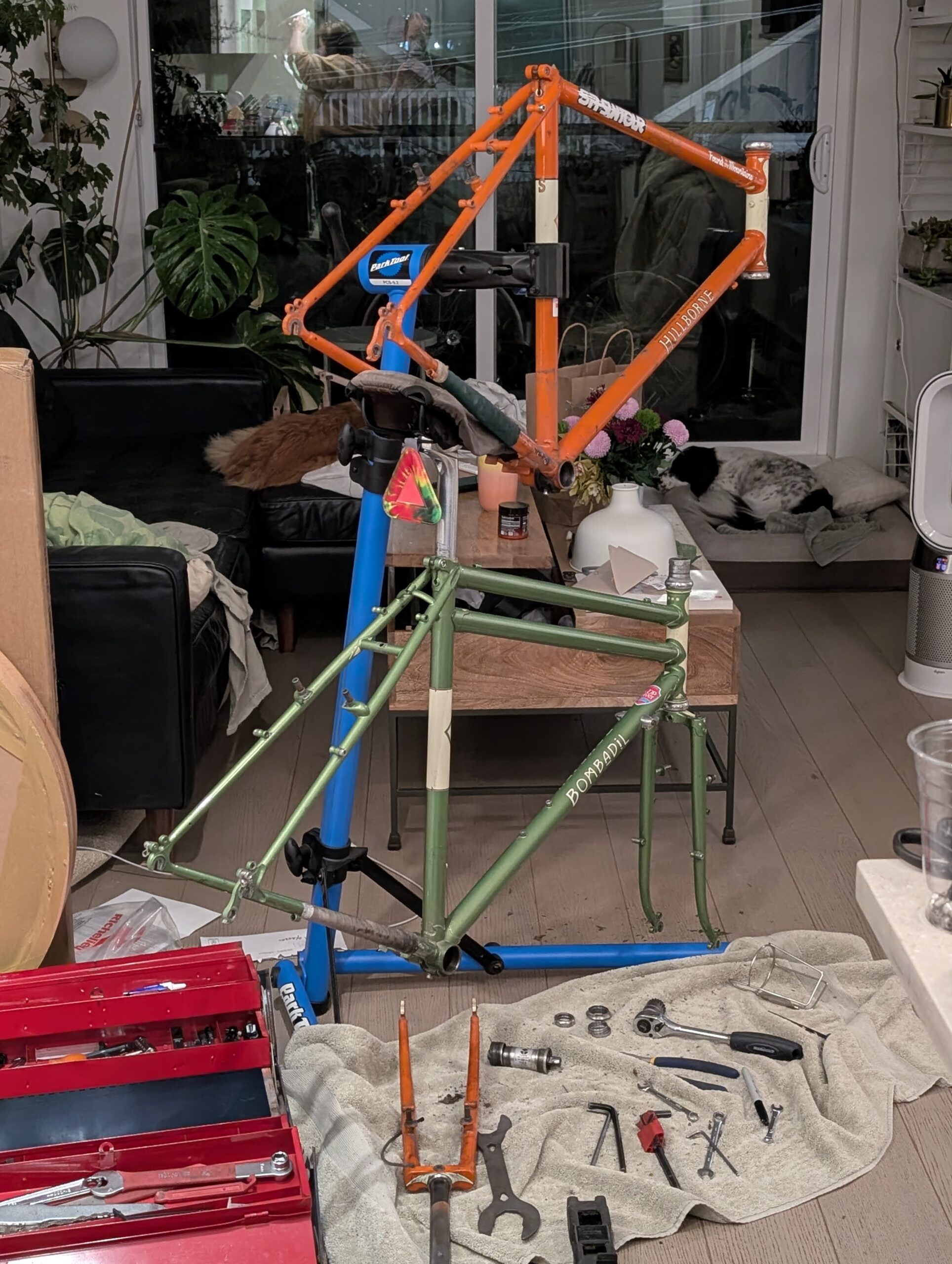
Below is a photo from a short evening ride on the Twenty on the 15th, and my Hillborne commute on the 17th, the final commute of 2025. I didn’t know it at the time, but it would also be my last ride until after Christmas as I tested mildly positive on the morning of the 19th. Boo! I didn’t get very sick at all, but it lingered and I kept myself locked away to avoid getting Aimée sick too. At least I succeeded there!
The next few days were spent in the bedroom binge-watching Taskmaster; I’m glad there was so many episodes I hadn’t seen yet! Leia did a great job of keeping me company as well. I got out for dog walks to keep my sanity but otherwise existed here.
Aimée made me some nice meals over my time in captivity, which helped keep spirits up – no small feat for her as well, as food prep is always a tag team effort and I do all the clean-up usually.
Boxing Day I got out for a slow paced (as if I go any other pace) ride around Deer Lake – I meant to keep it to around 25km but ended up over 40km because I just missed being out on my bike too much!
I also took my new WZRD slingshot with me and tried it out over the Brunette river, checked out the progress on a new pedestrian overpass in Burnaby (which I’ll get a lot of use out of!) and had a smash burger and beer too.
The next morning was cold but clear, and I enjoyed a morning walk with the girls – a daily routine, but this was prettier than usual. We have a few established routes ranging from 30 to 60 minutes, usually ending with some time at the off-leash park.
Again I got out for a bike ride, and just about every day this week I was able to thanks to good weather and a free schedule. This time I took the Bombadil on a two-bridge loop with a venture up to Murdo Frazer and some time spent seeking out old growth trees in Stanley Park.
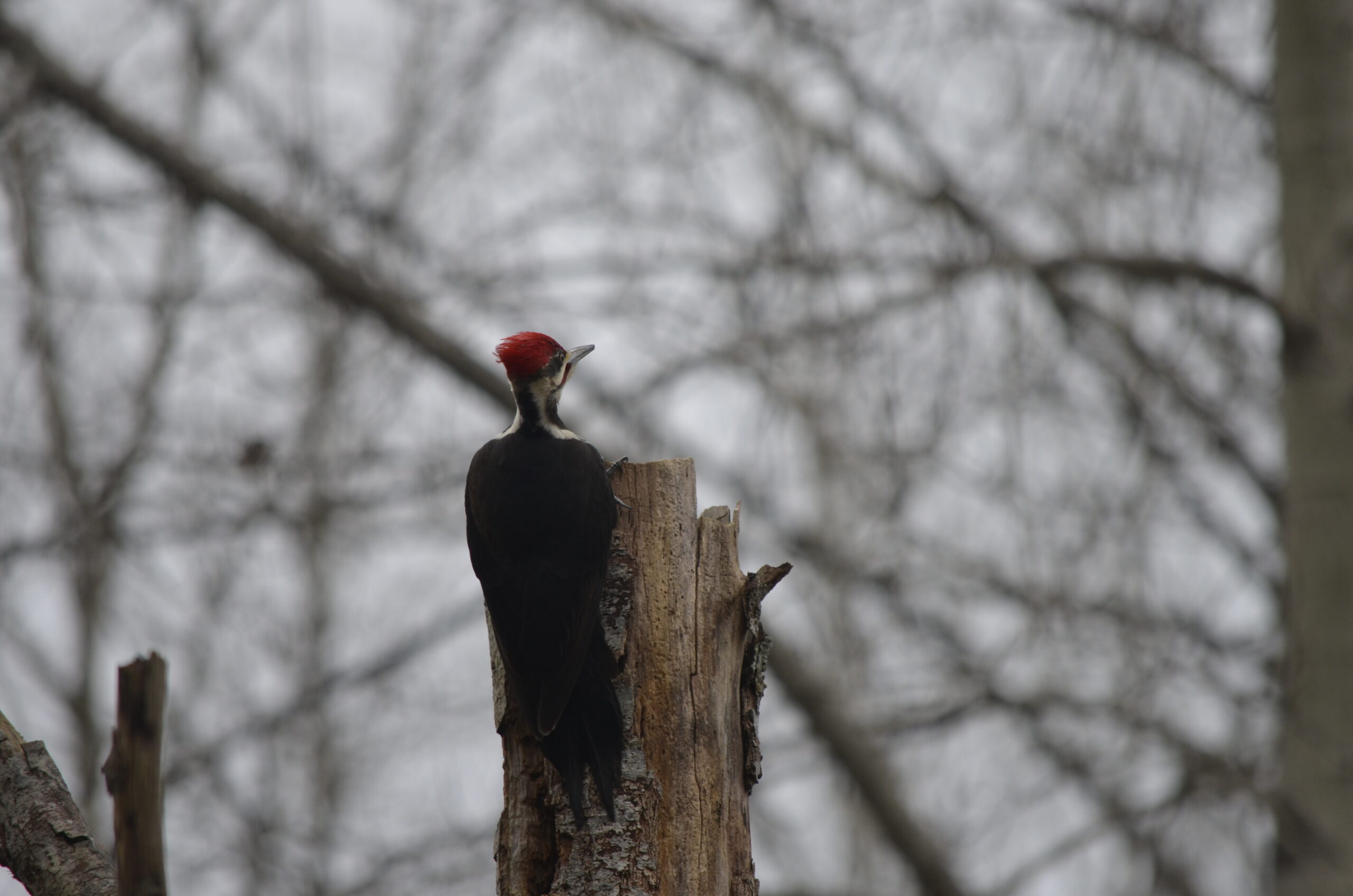
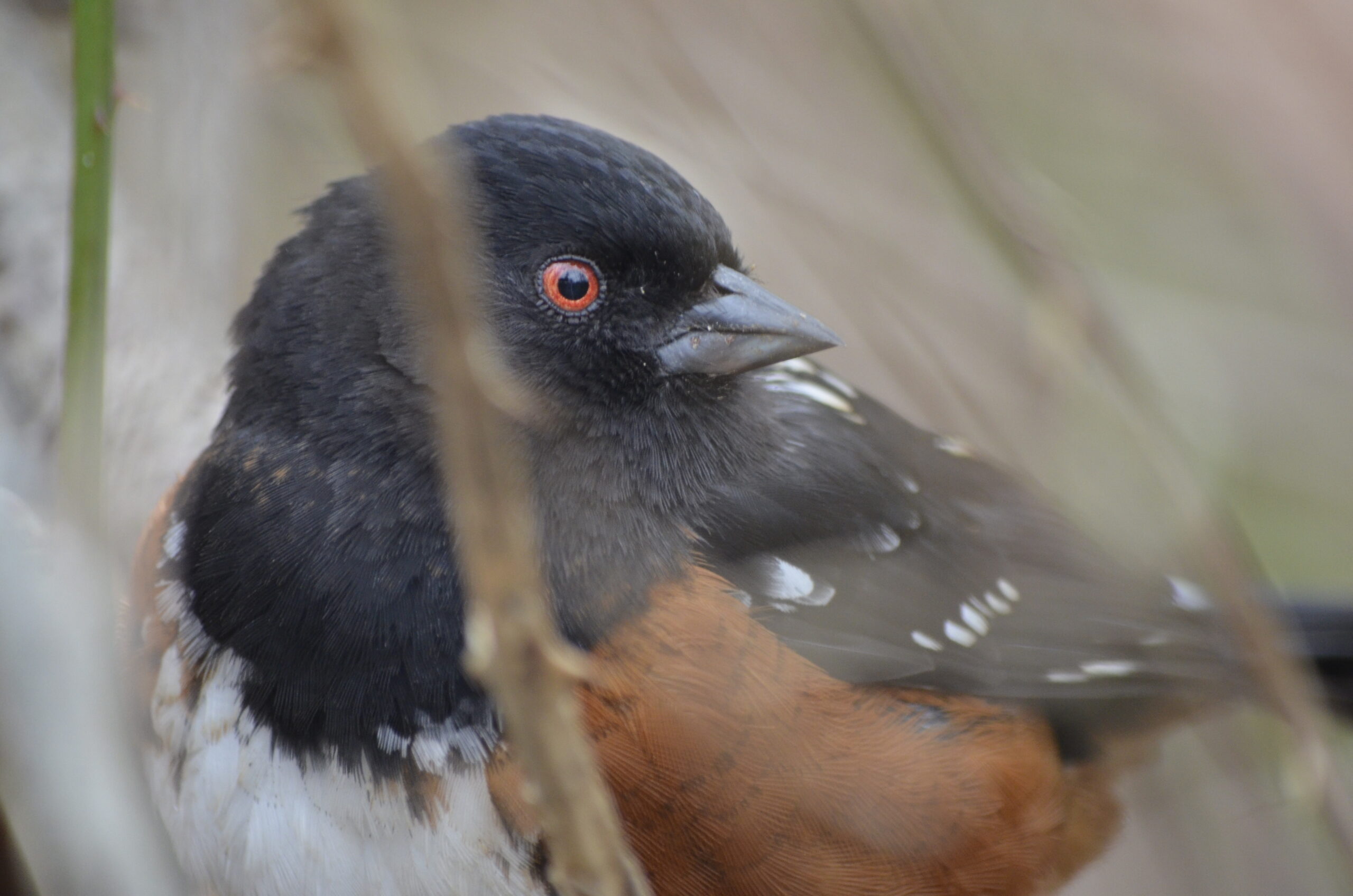
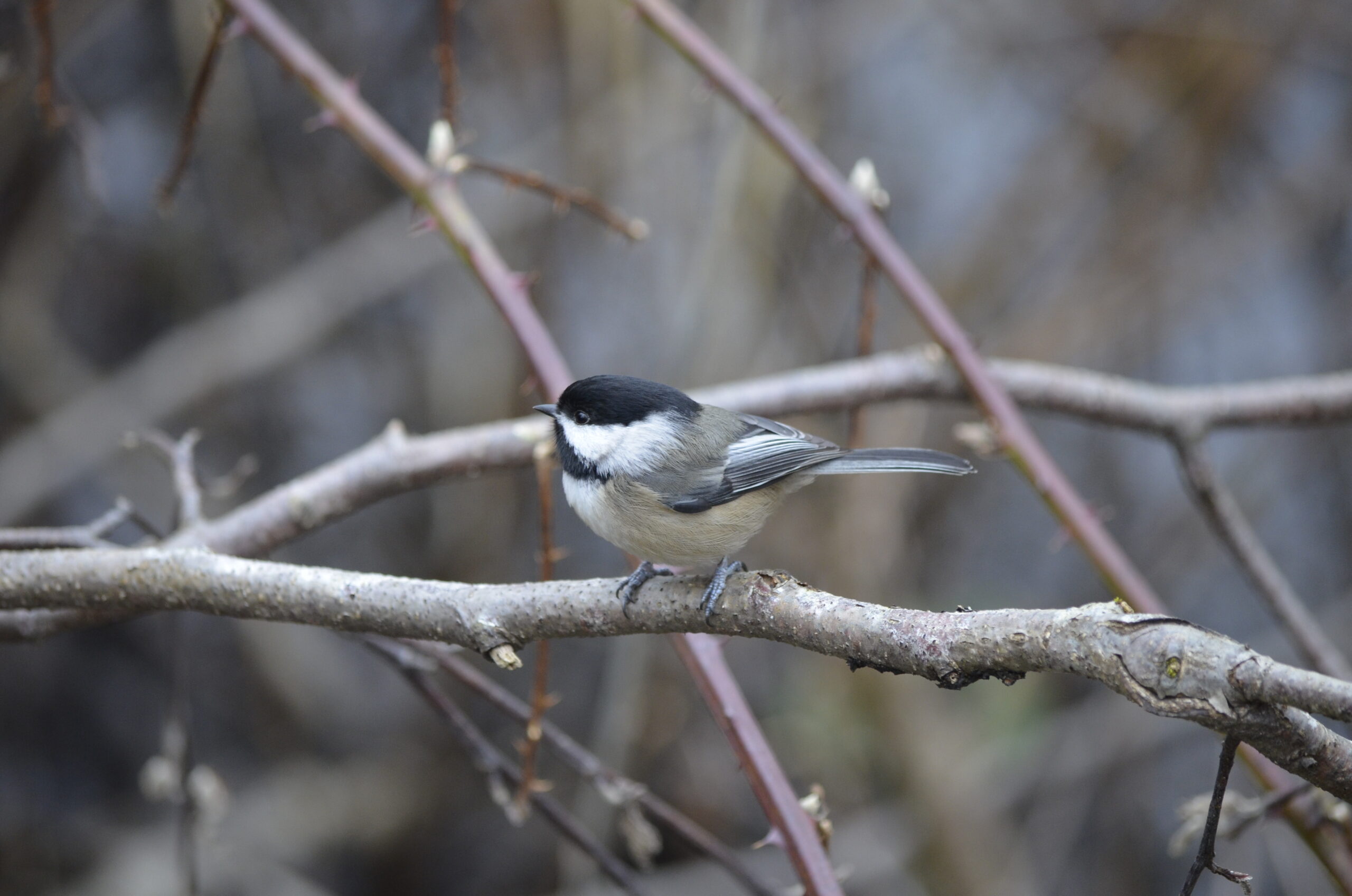
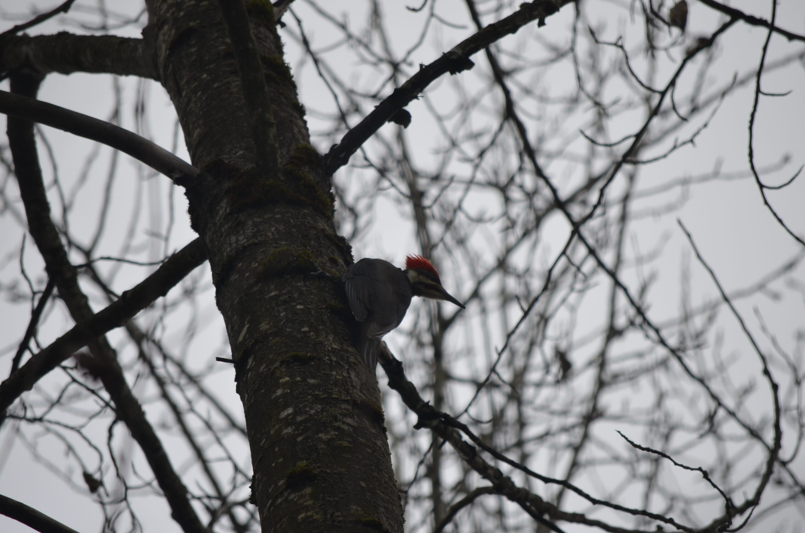
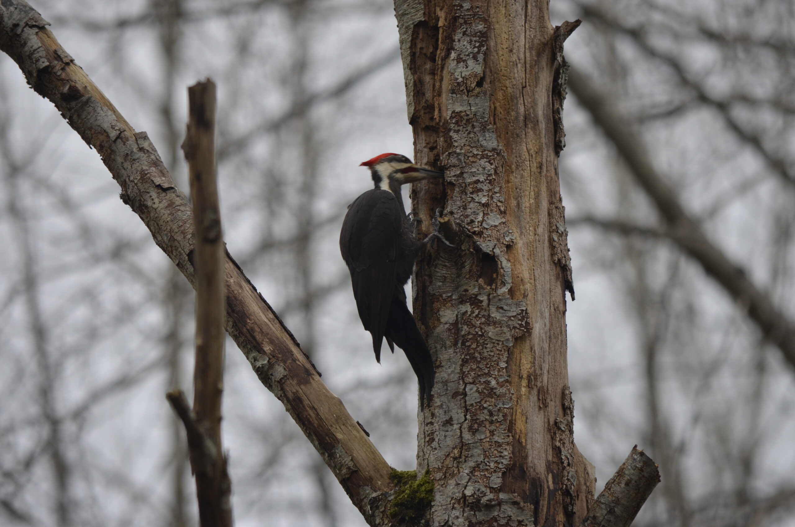
That night I watched Listers, a bird-watching documentary that I highly recommend if you haven’t seen. It isn’t likely going to turn me into a serious birder, but it did make me want to go to Jericho to see if I could find a red-winged blackbird – we have them in limited numbers here but I’ve only seen them in Ottawa. I was not successful, but I did spot a bunch of spotted Towhee’s which I had not identified previously! As well as some sparrows and other Little Brown Birds. I will admit I did download Merlin and eBird, and am now keeping a Life List on the former (currently at 26 species as of mid-January). Maybe this’ll be the excuse to start bringing a “real” camera on rides again. It’s a nice way to slow down and experience the woods more deeply, I just don’t want to get competitive about it hopefully.
On the 30th I took the Evasion around Deer Lake again, this time stopping at a tree I used to sit in regularly but haven’t been back to for at least a year. Its branches create a surprisingly comfortable perch, on which to gaze over the lake. There was a light fog over the lake that never fully dissipated, and it created a beautiful hazy sunset.
The last day of the month, and year, I rode the Bombadil out to the far end of West Vancouver with Tay to see about a trail that I’d studied on maps – it had no cycling heatmap activity, but that doesn’t always mean it’s not a gem to ride! Getting to it required riding almost to Horseshoe Bay along the higher / hillier route.
I started out the ride by going to pick up a pair of tires off Marketplace in Lynn Valley, then just slowly noodled through some forested areas westward. It wasn’t efficient, but I saw lots of cool stuff!
The trail was mostly unrideable, but very pretty, and it was really fun to find such a hidden little trail in a new-to-us zone. By the time we were out the sun wasn’t far off the horizon, so we opted to skip any further exploration and just point ourselves back east.
I finished the month at 12 days on the bike and 383 km – much of which was in the last few days. As for the year, I rode over 6000 km again and almost 73,000m of elevation. Plenty, I’d say! I drove less than 3000 km, which I’m quite proud of. I only car-commuted a few times the whole year, though I only commuted once a week anyway.