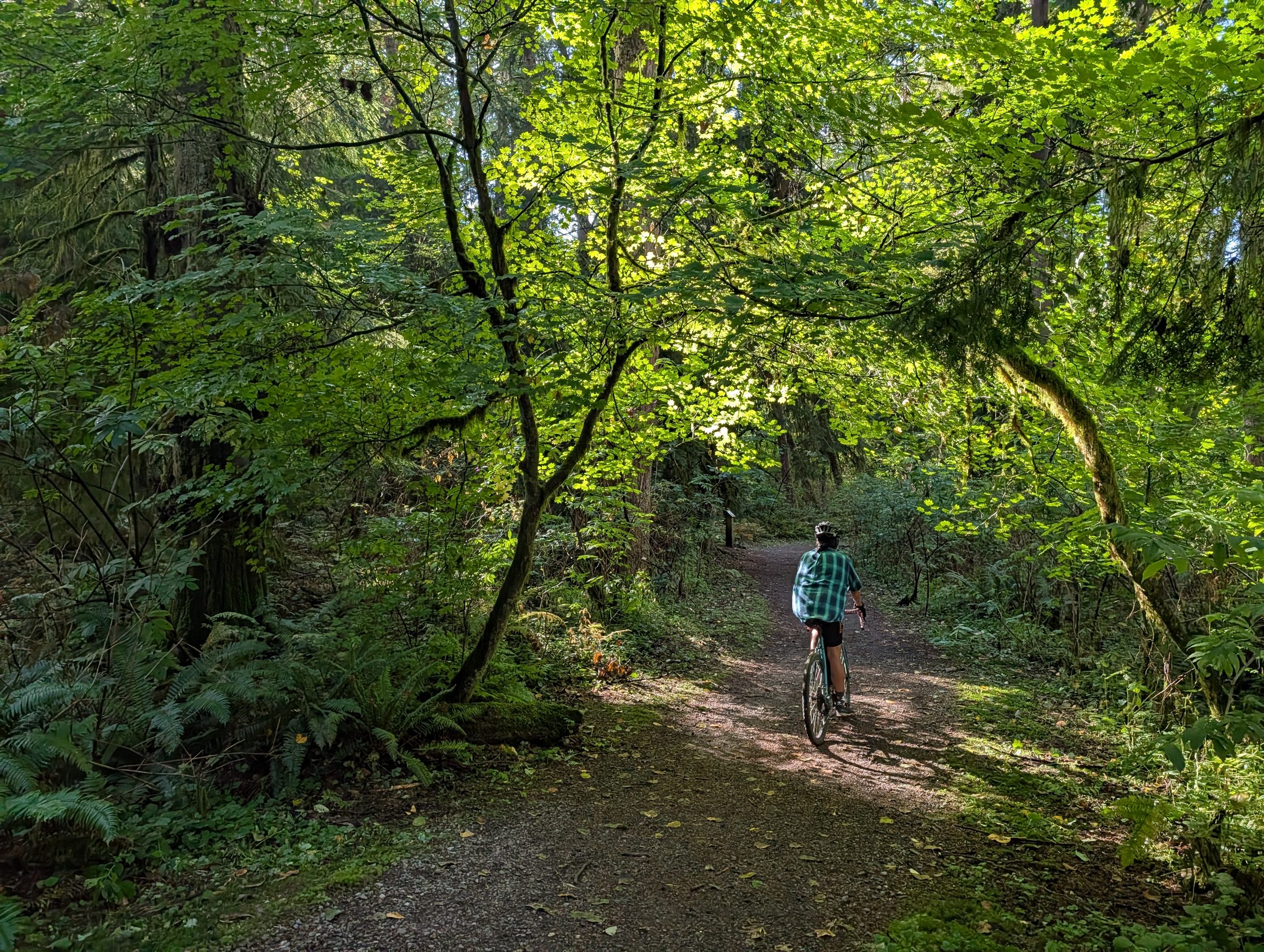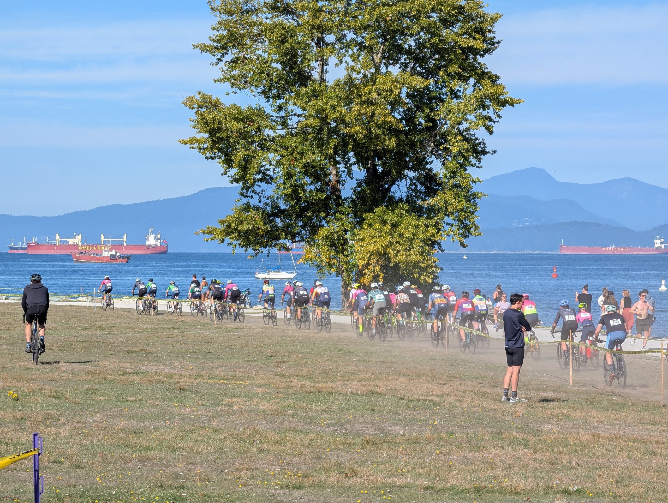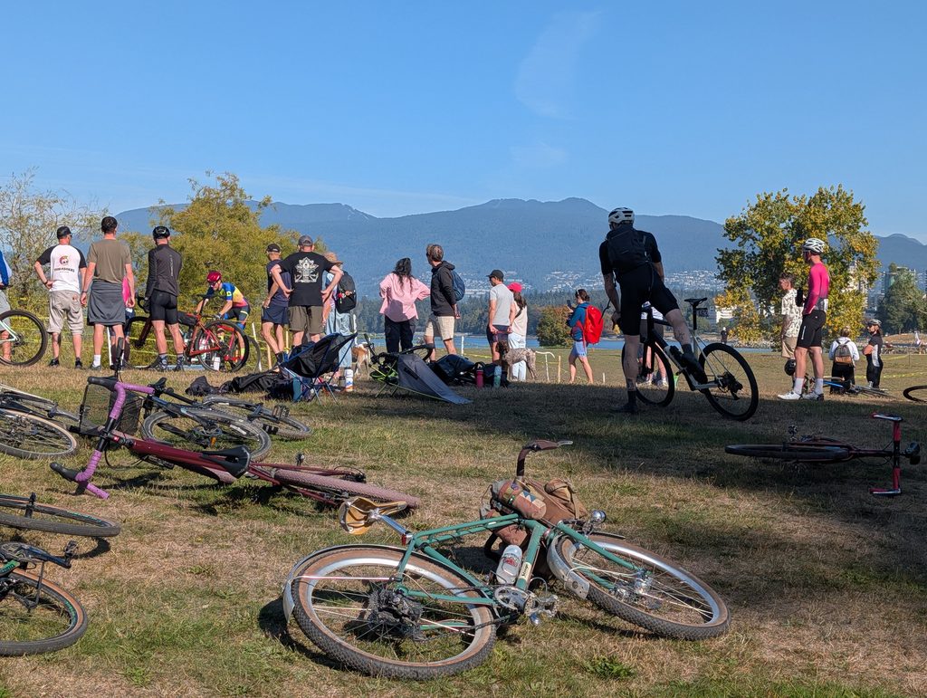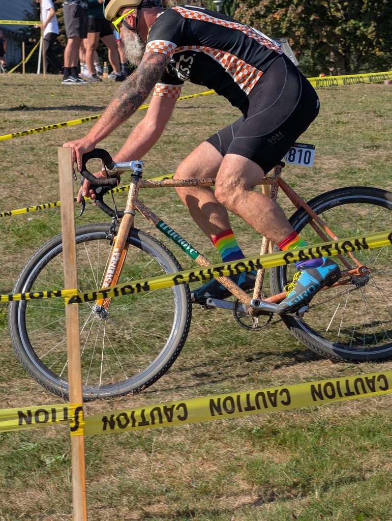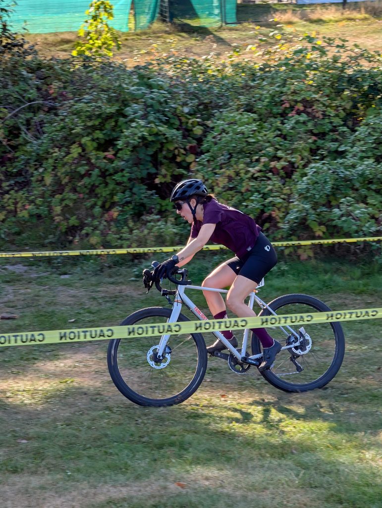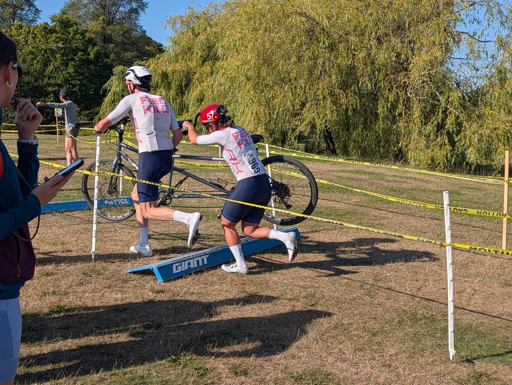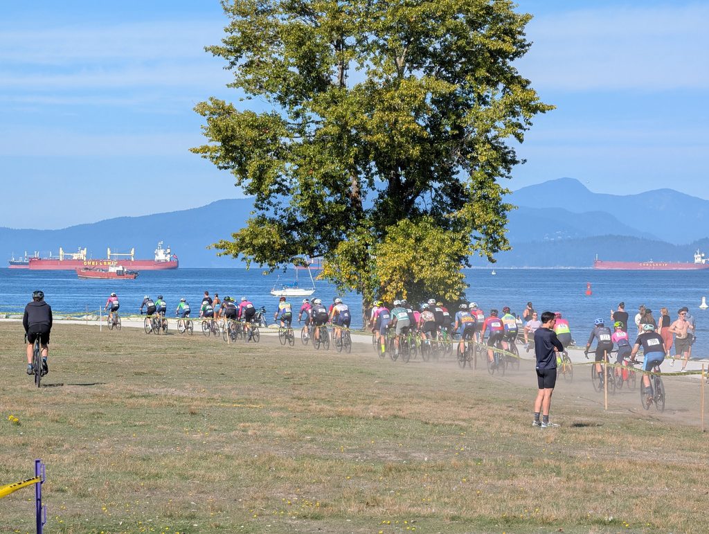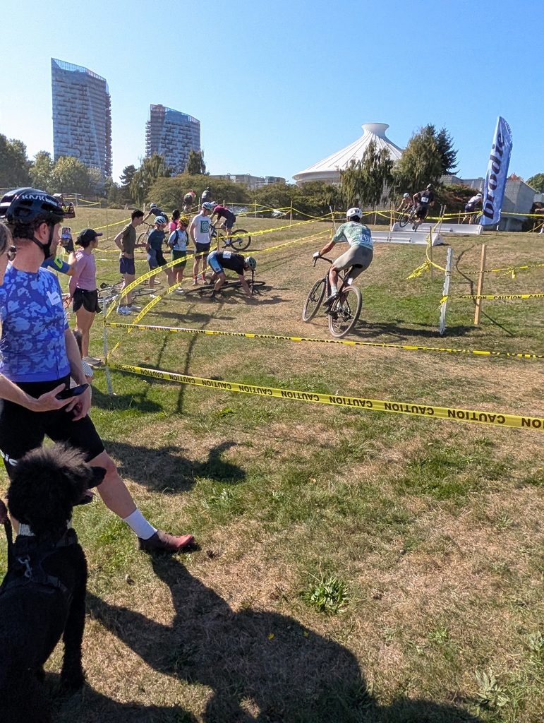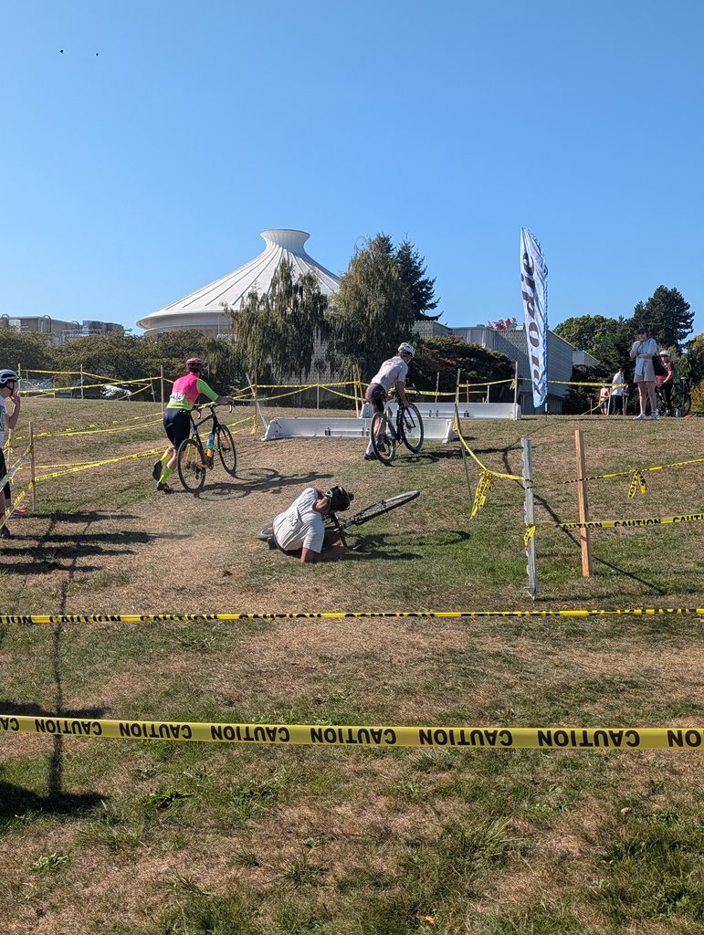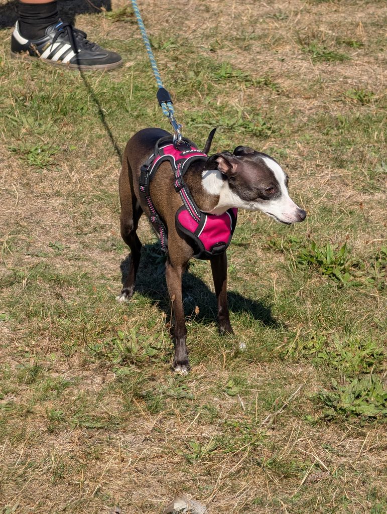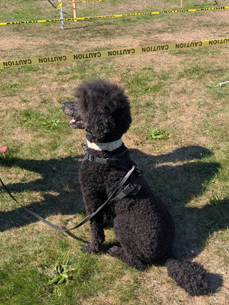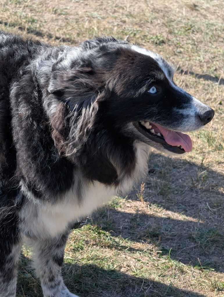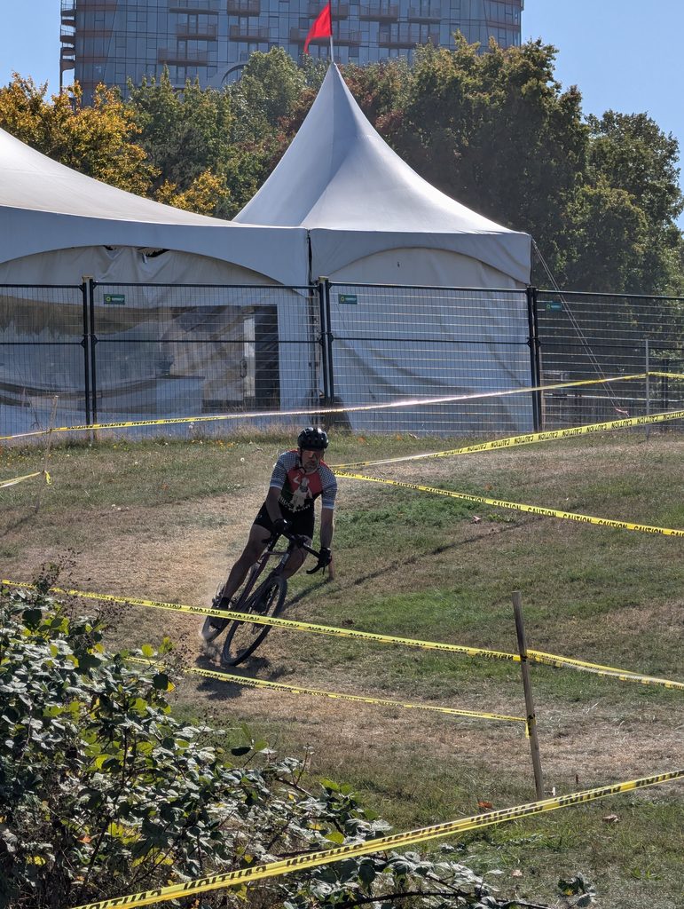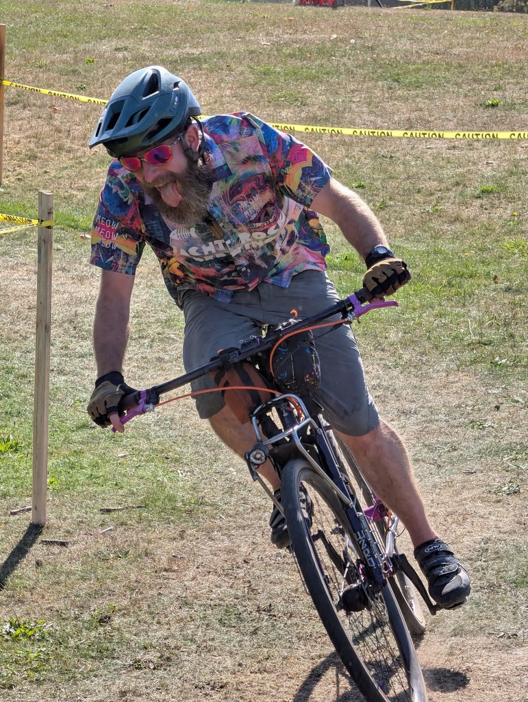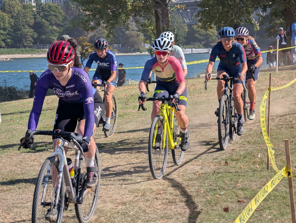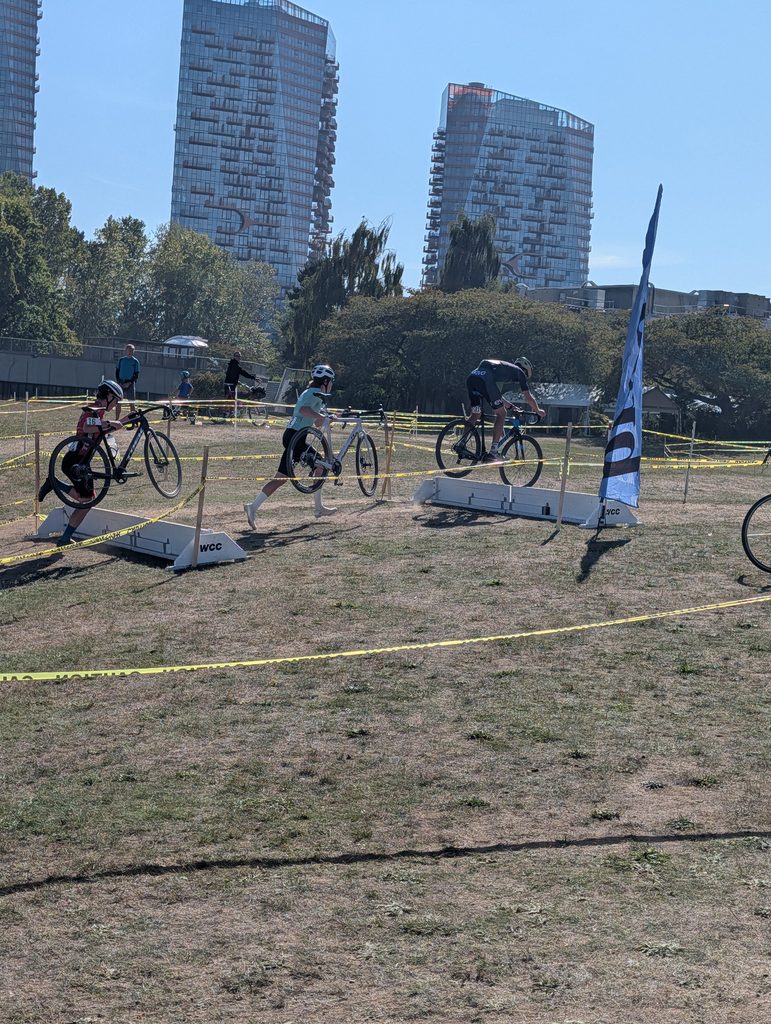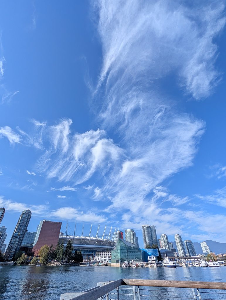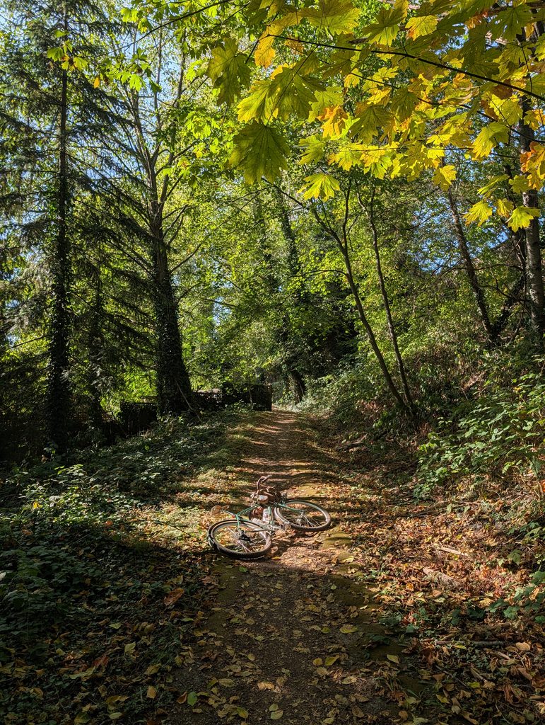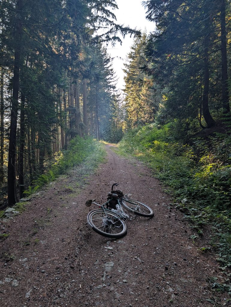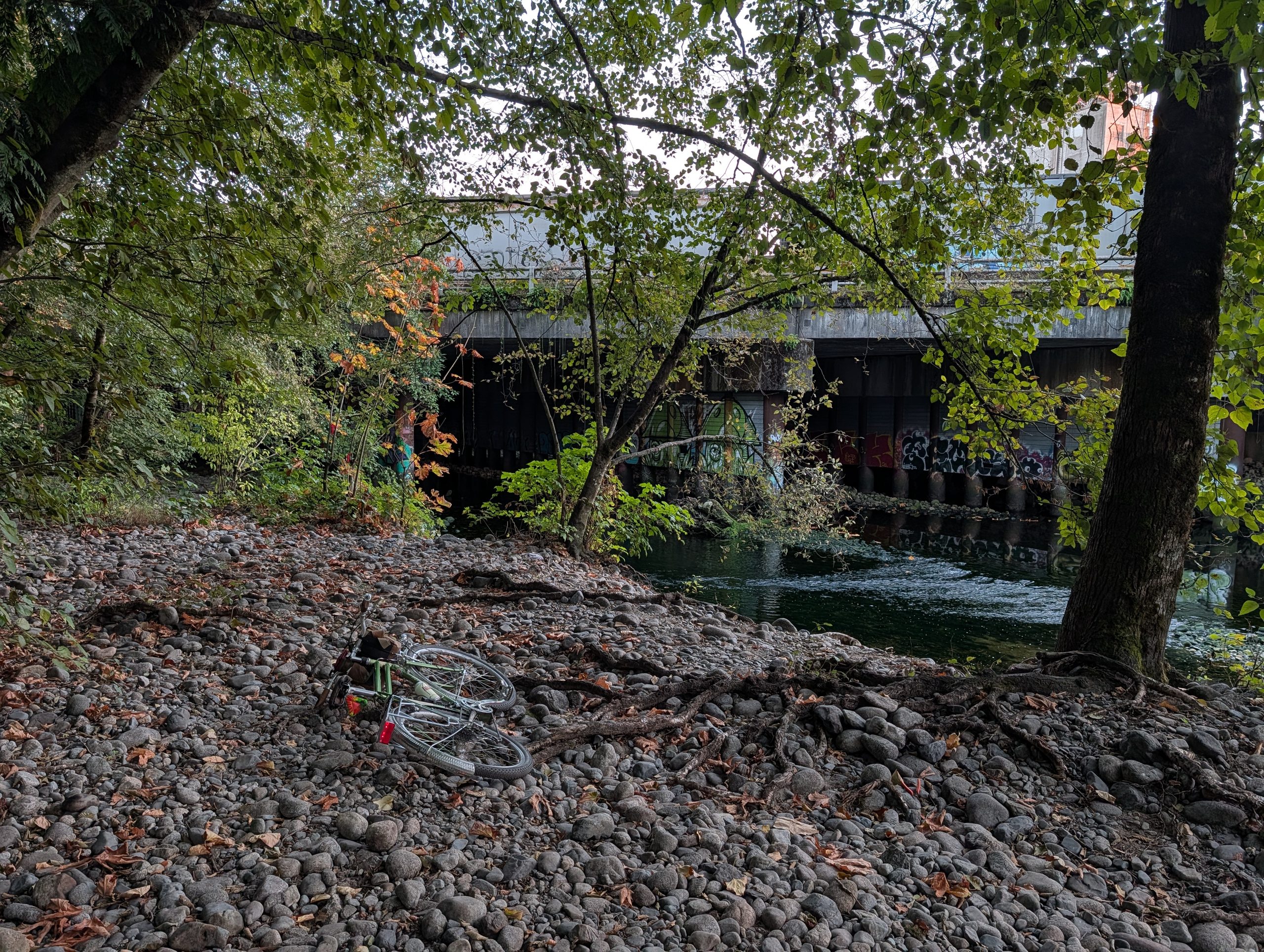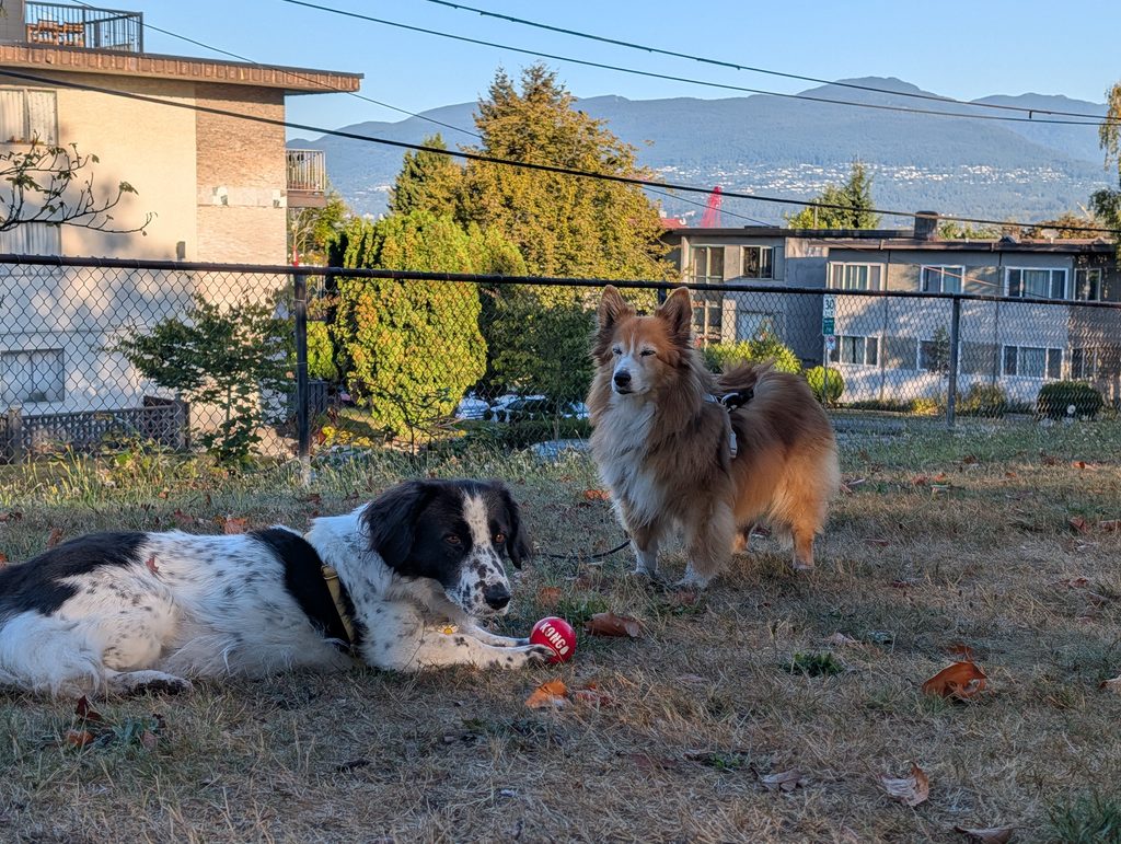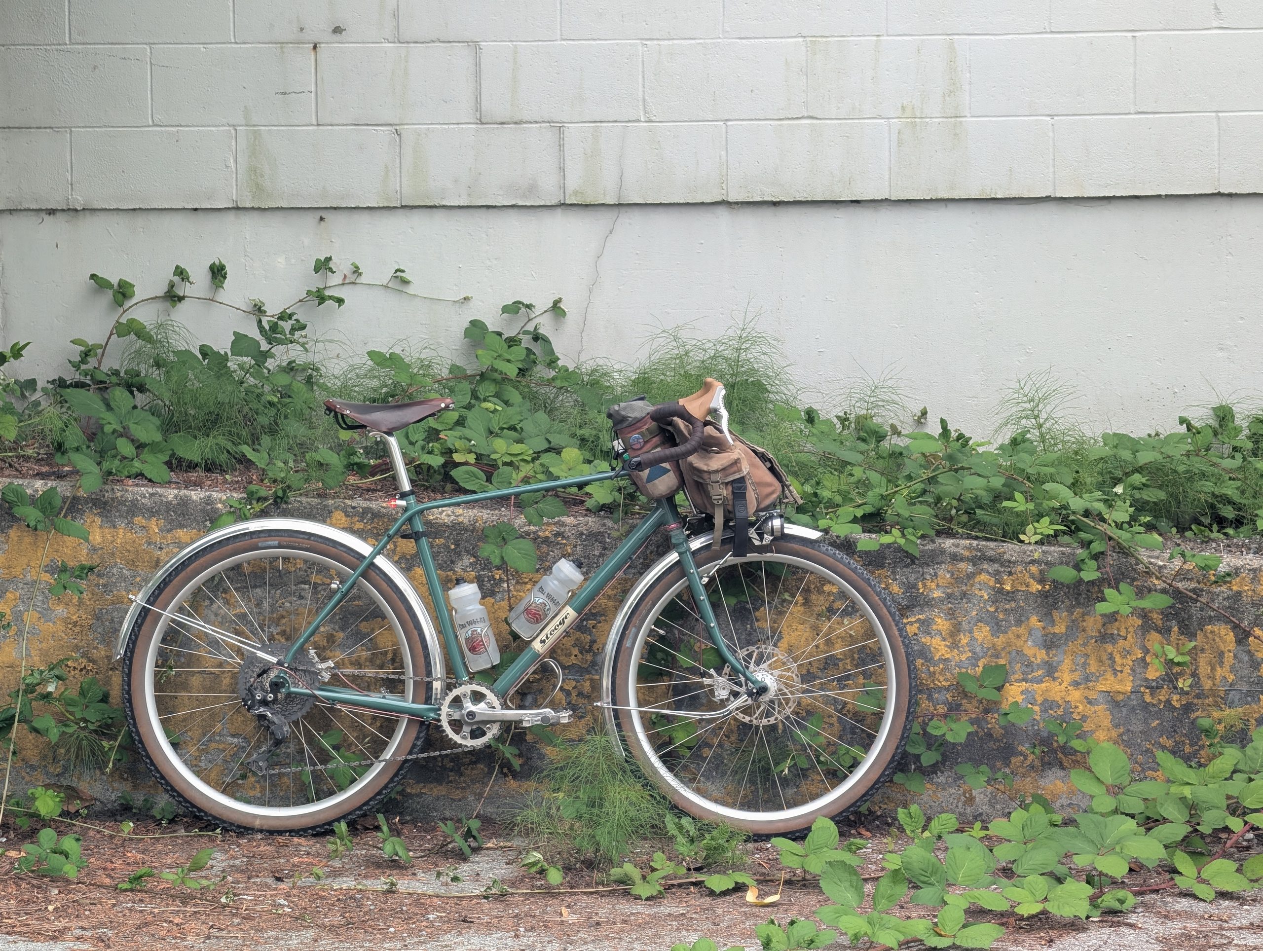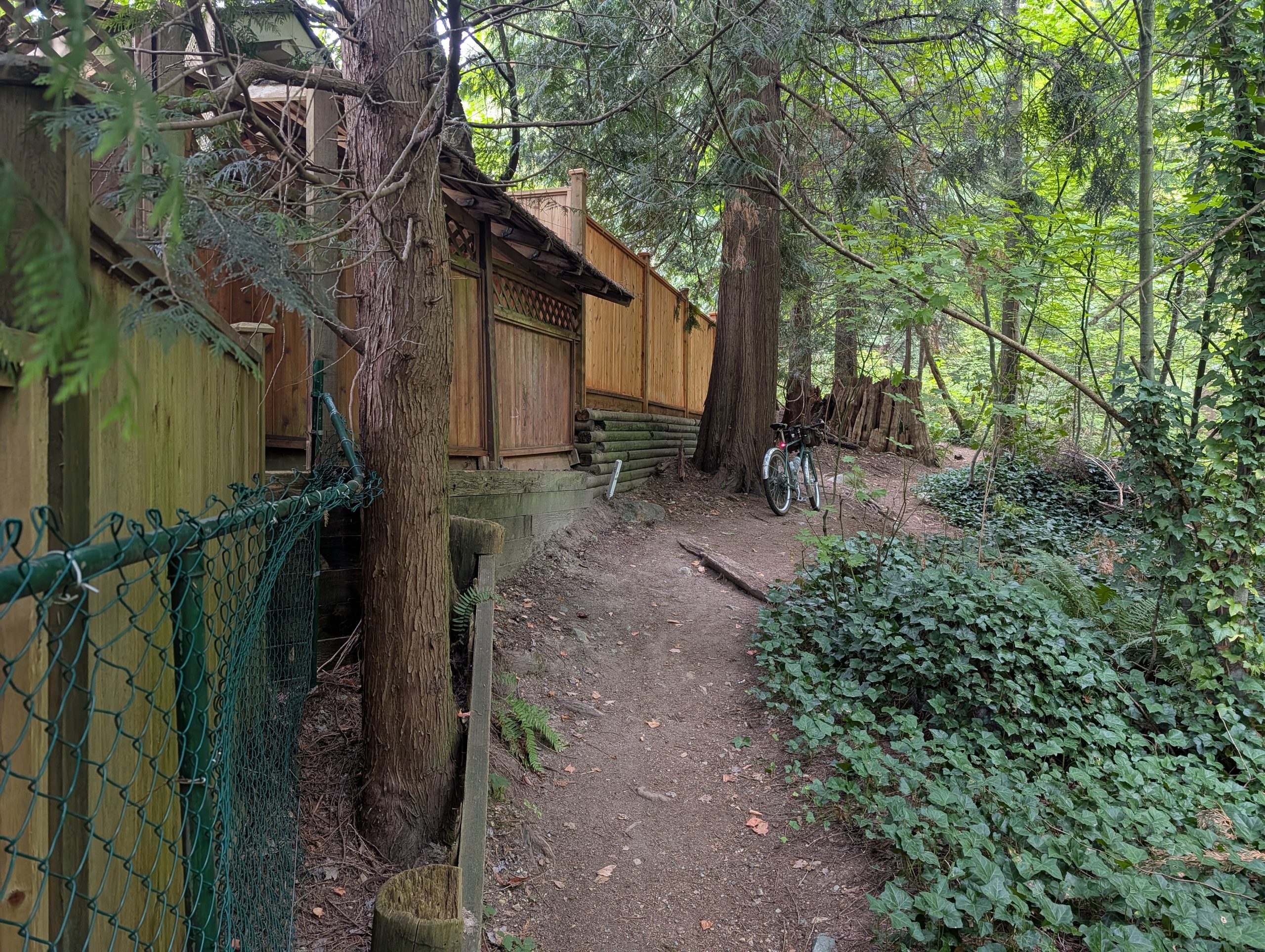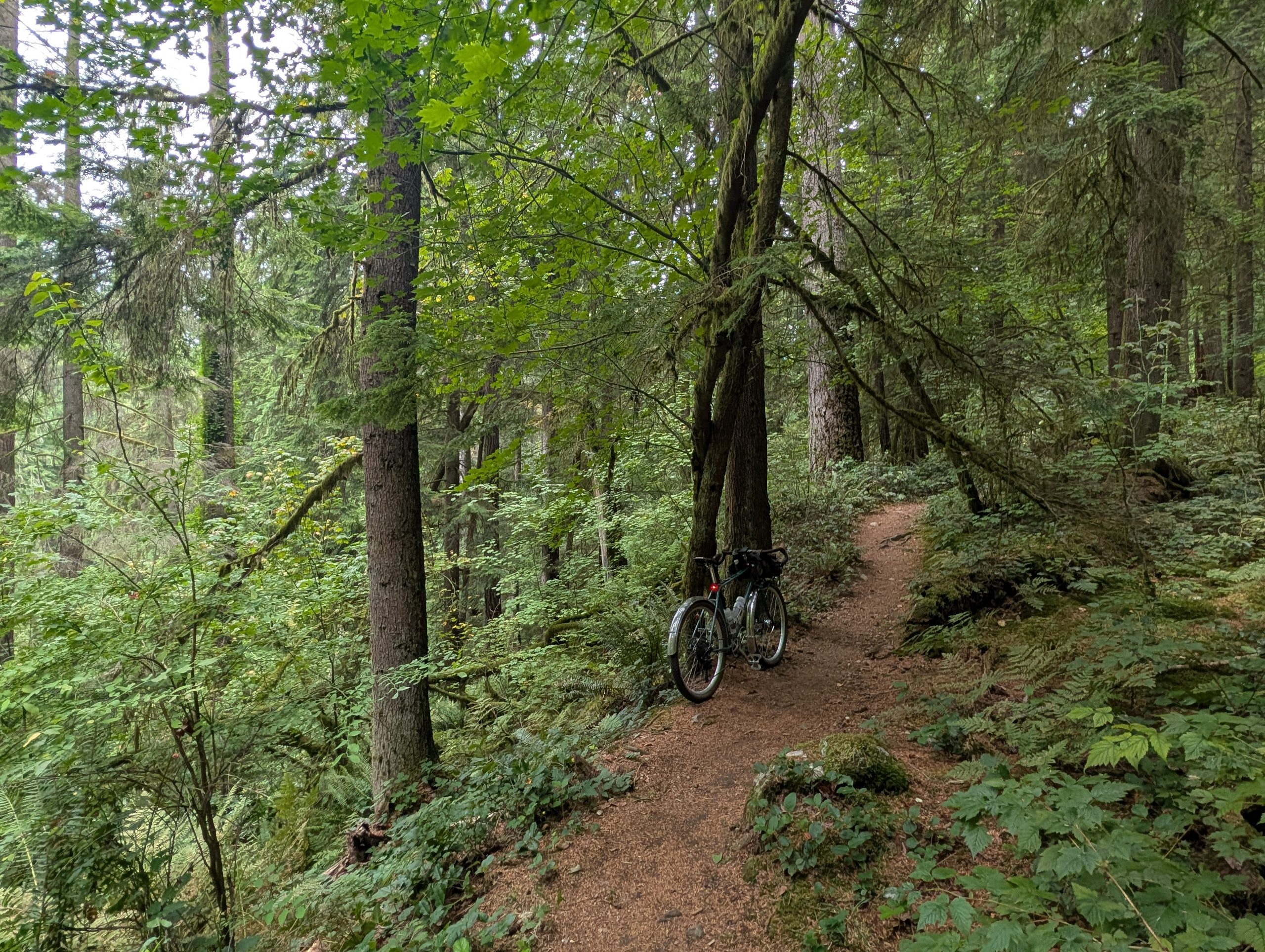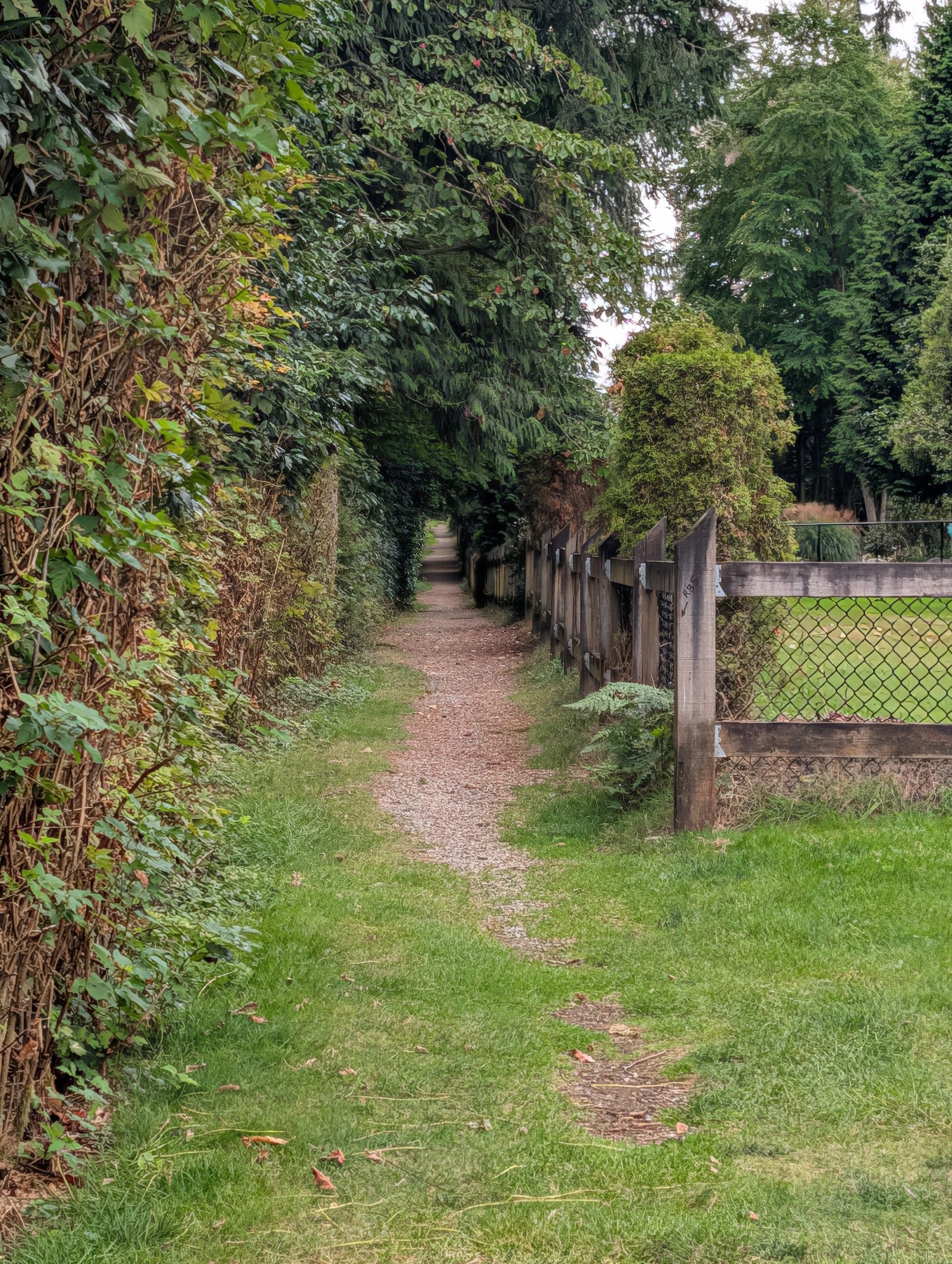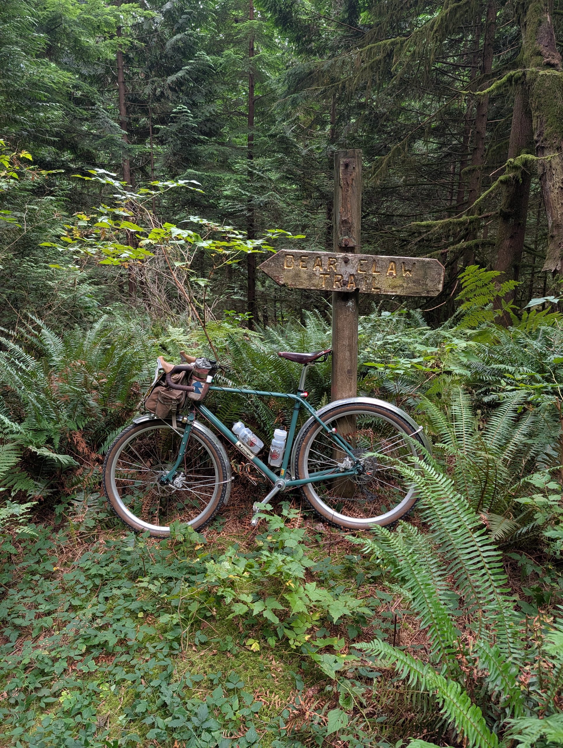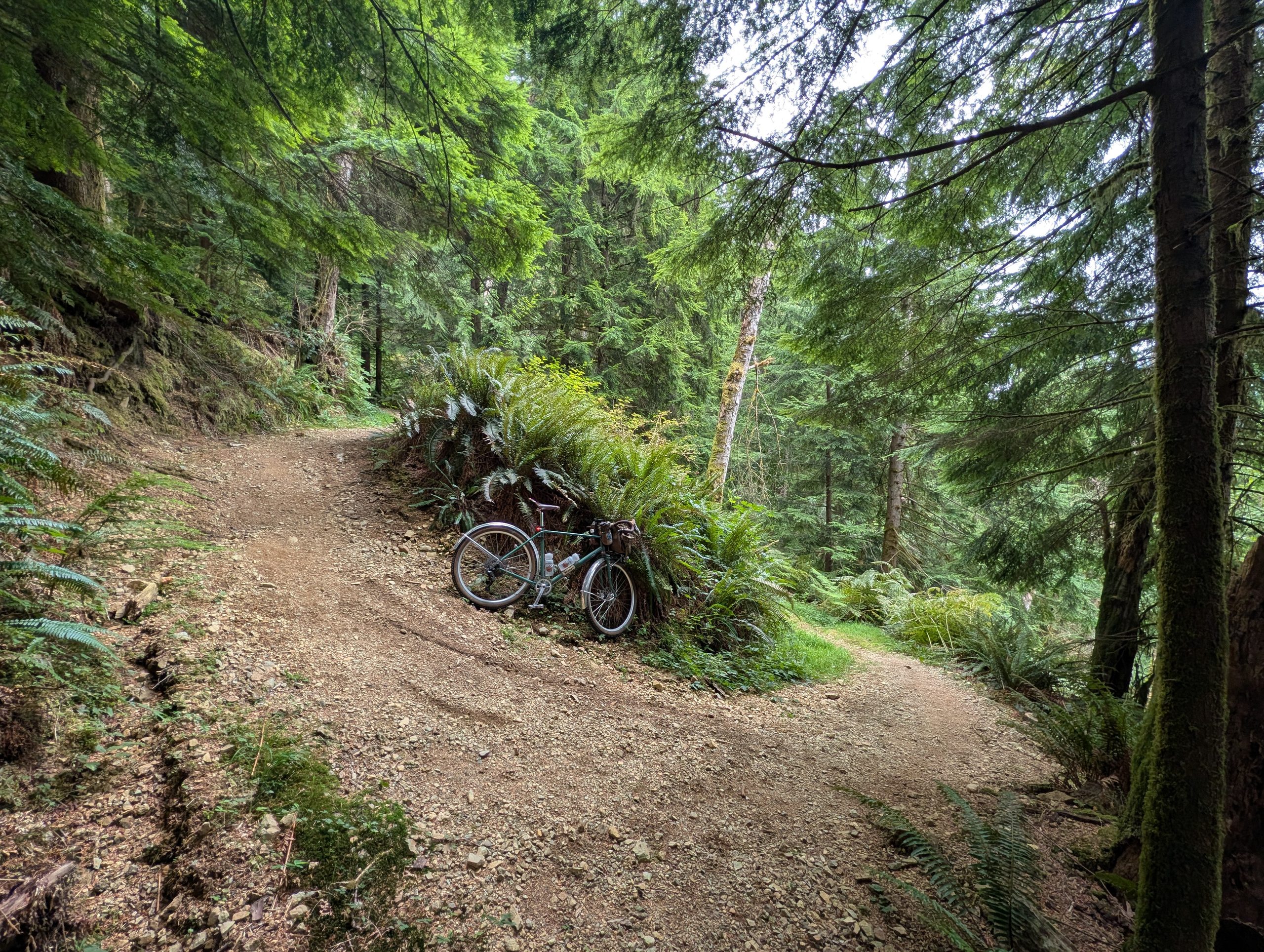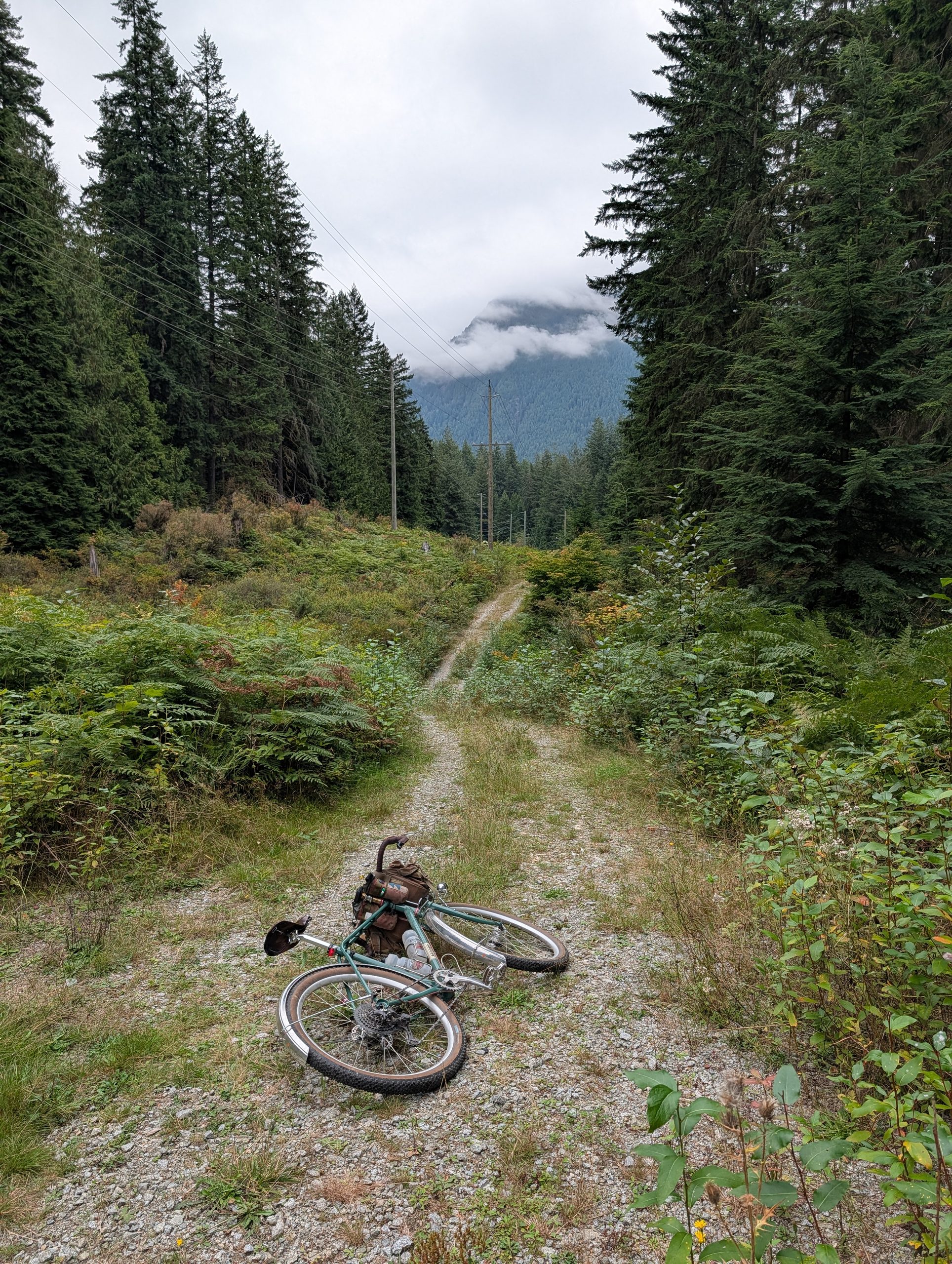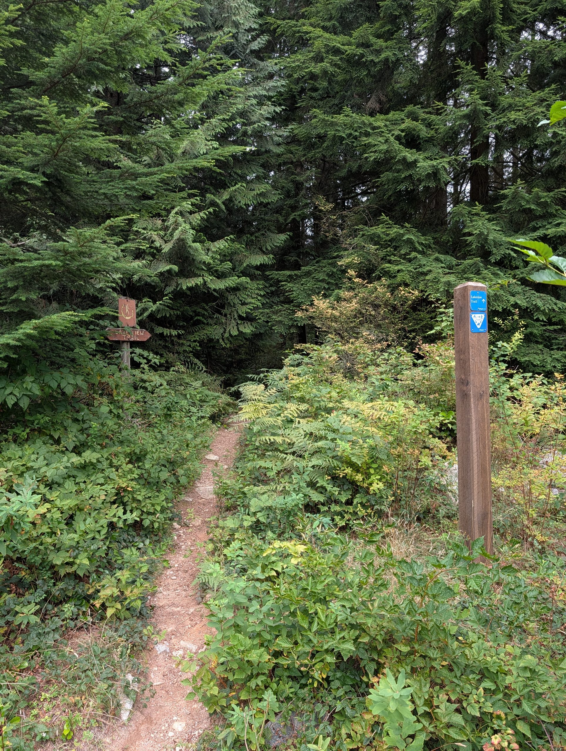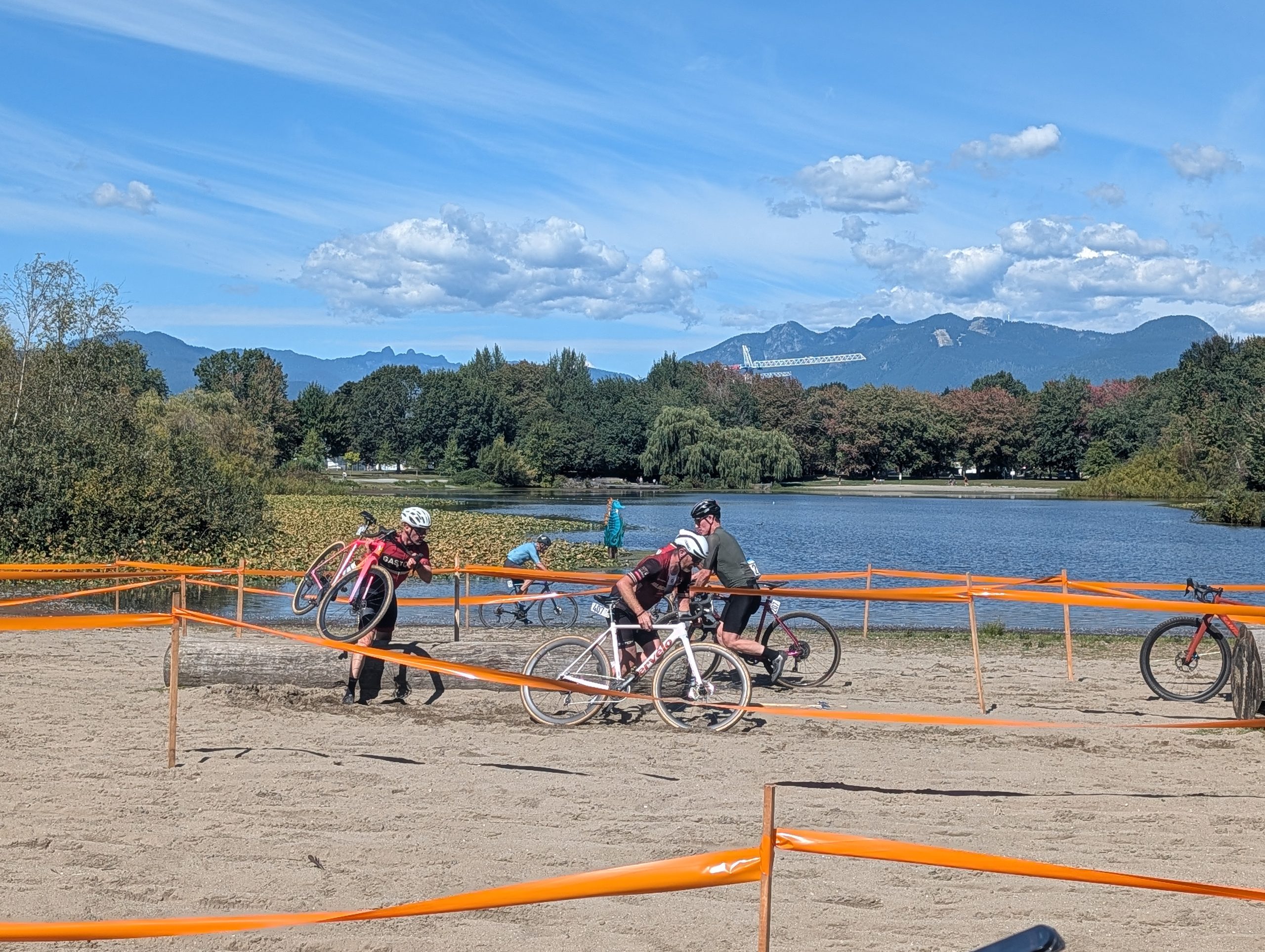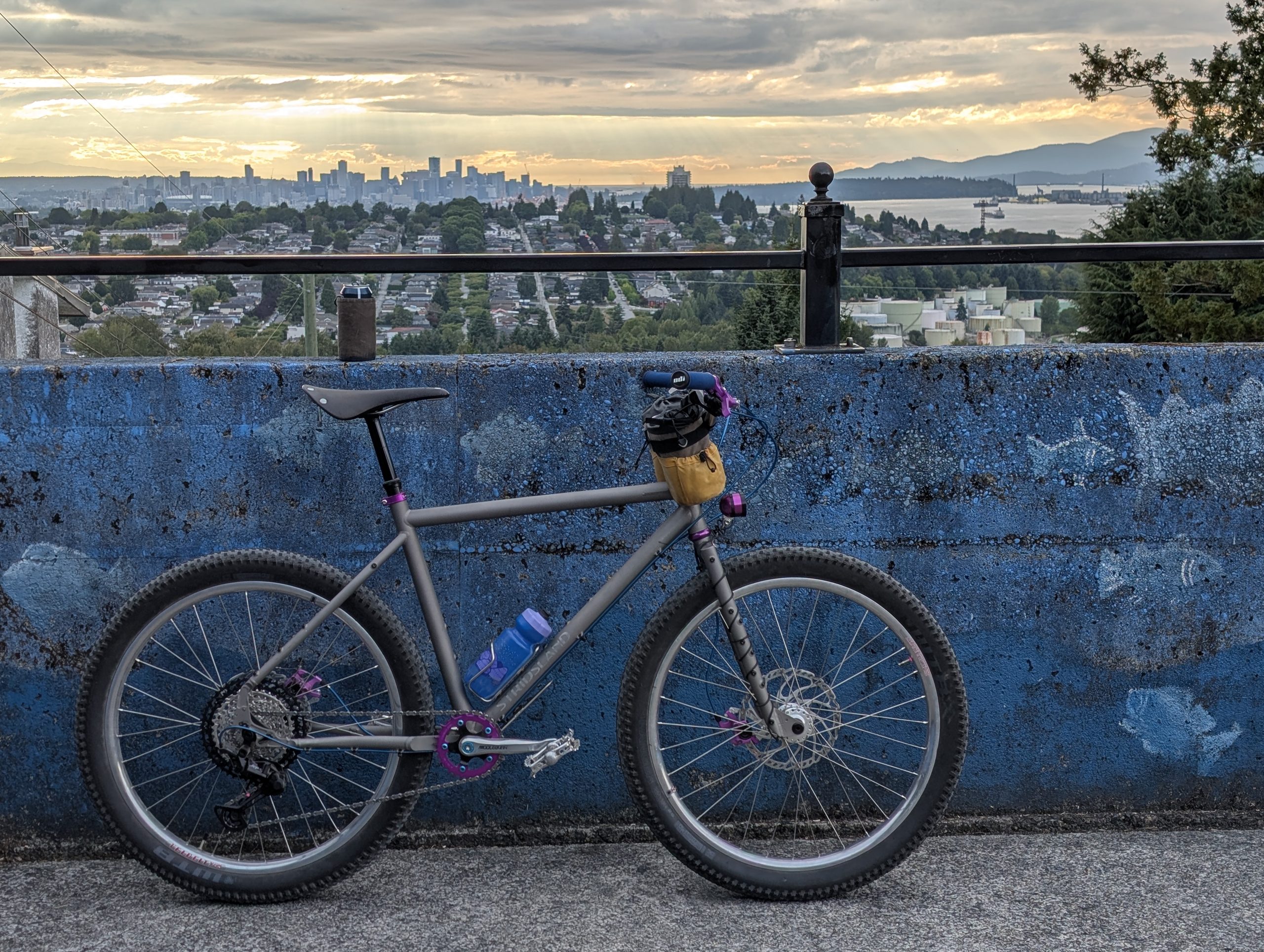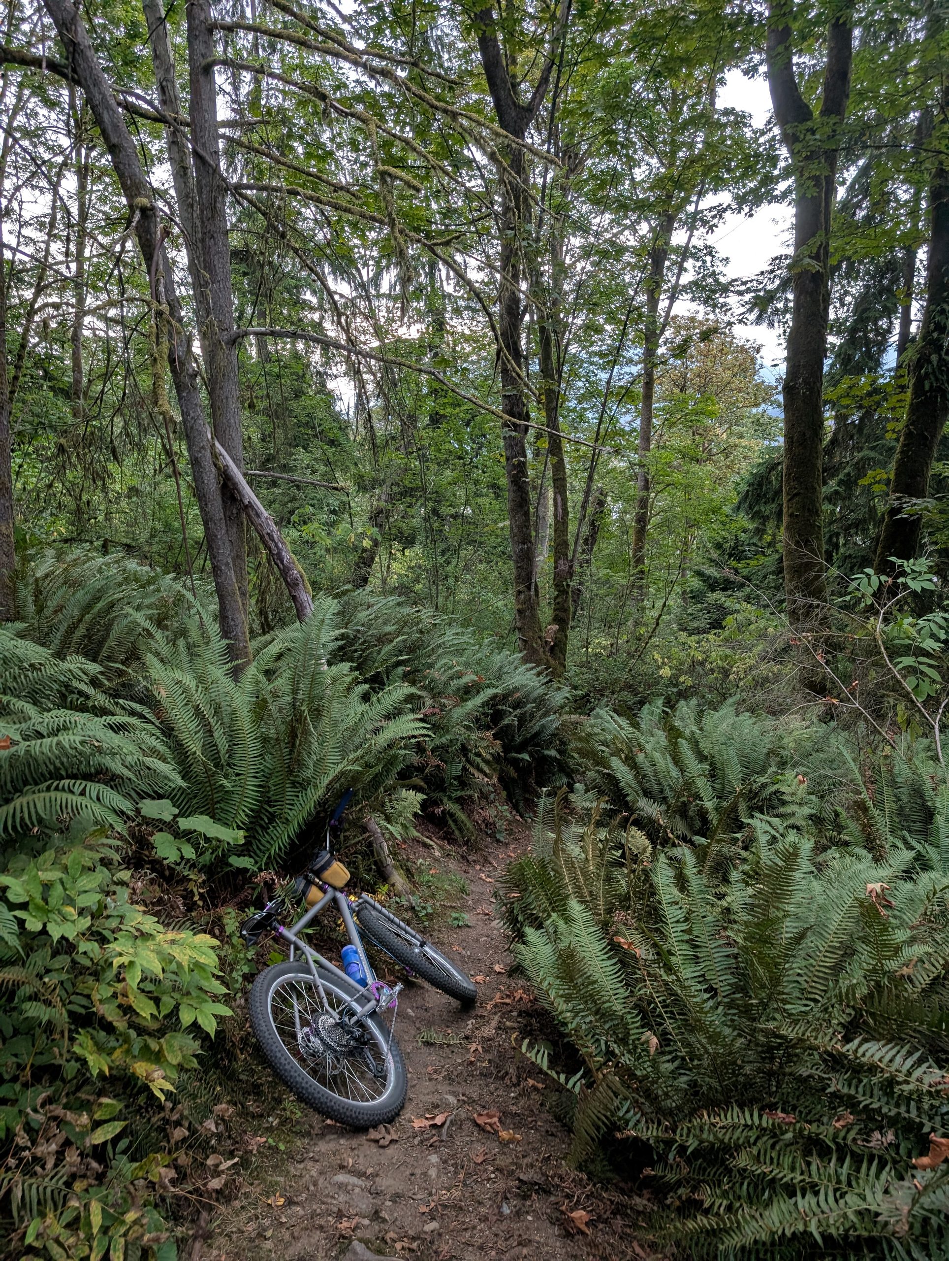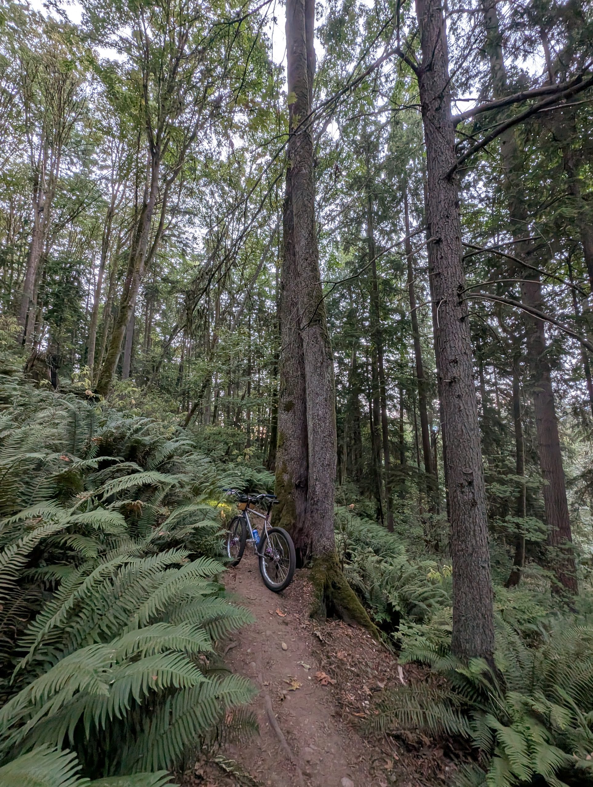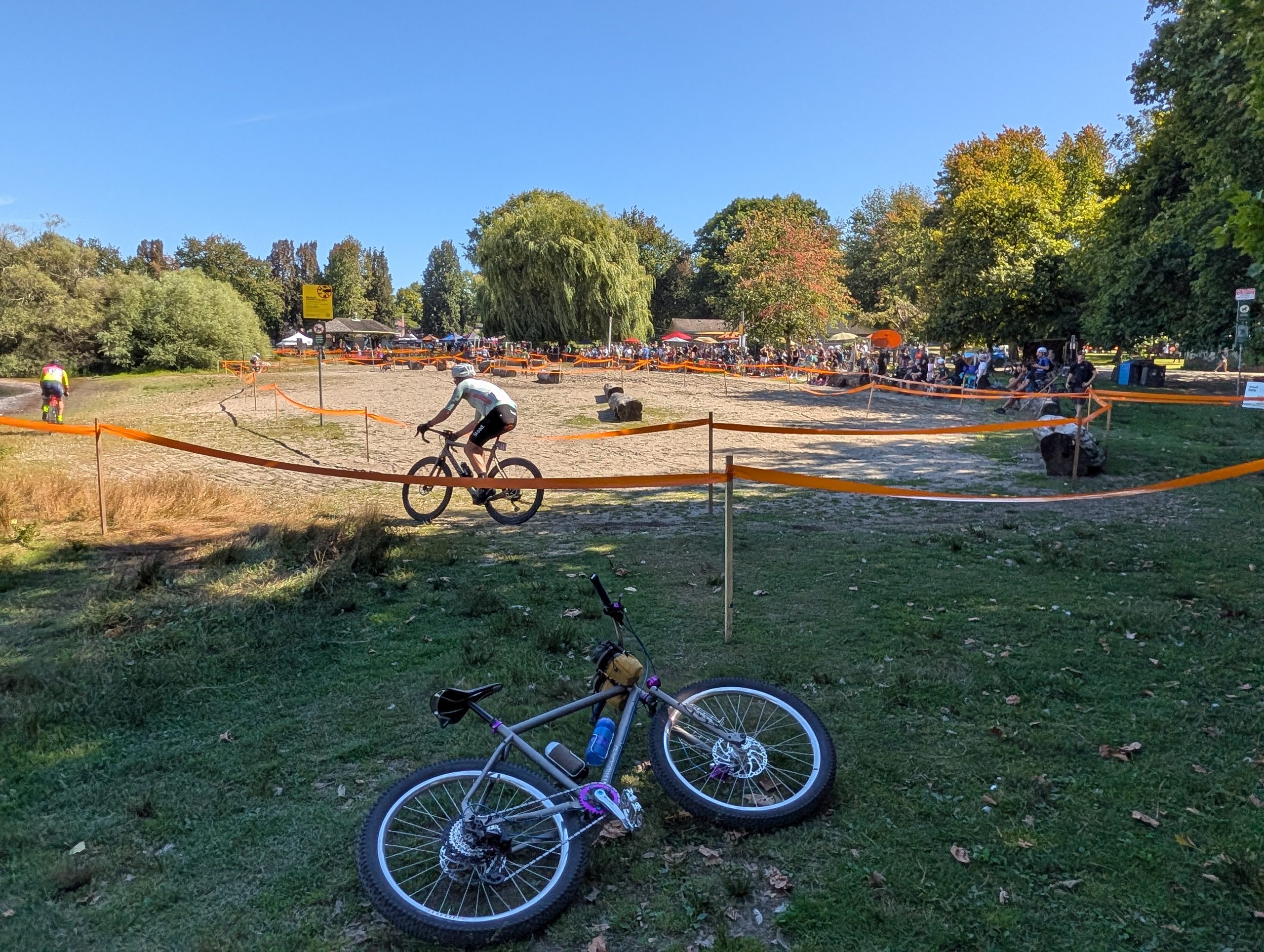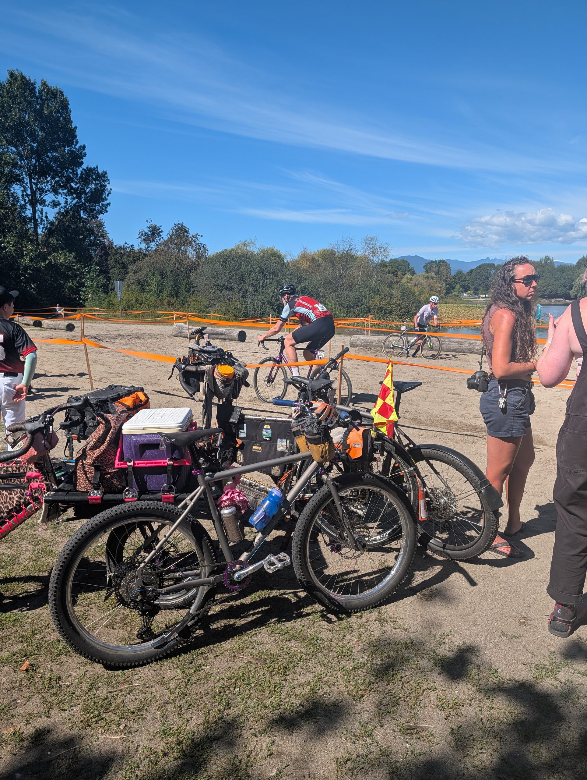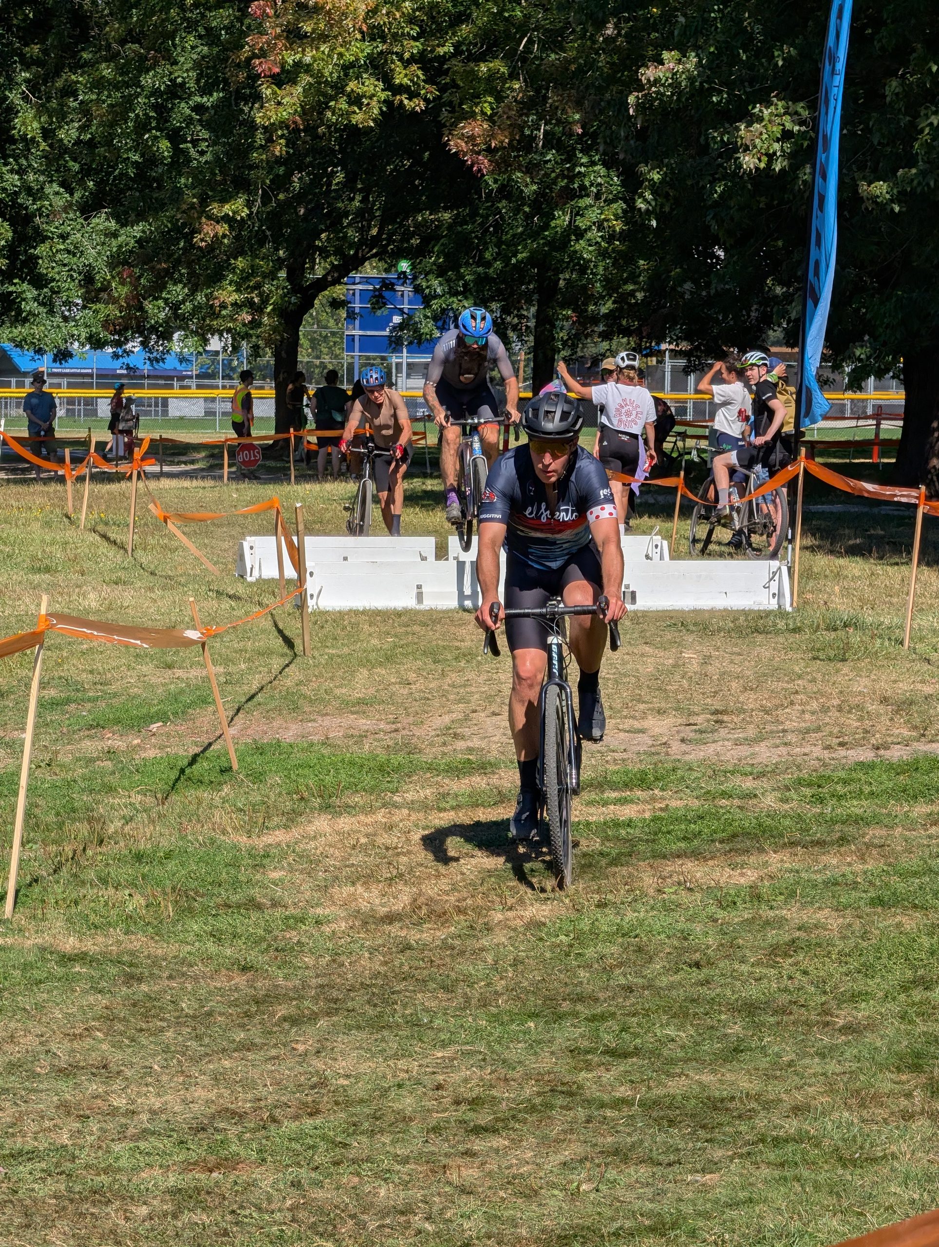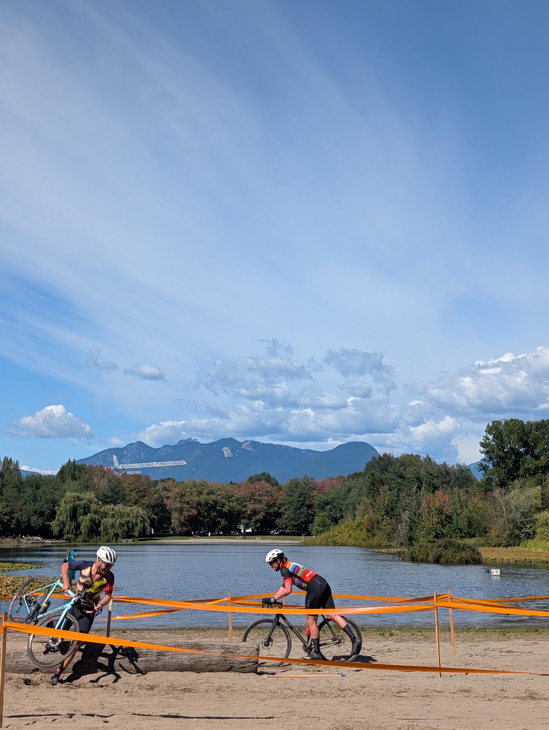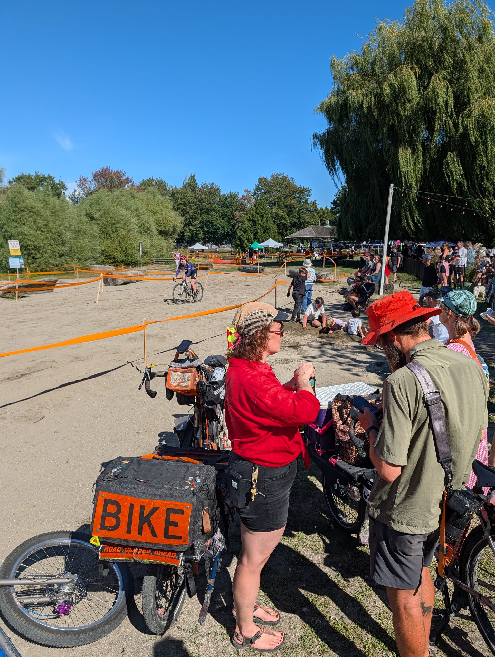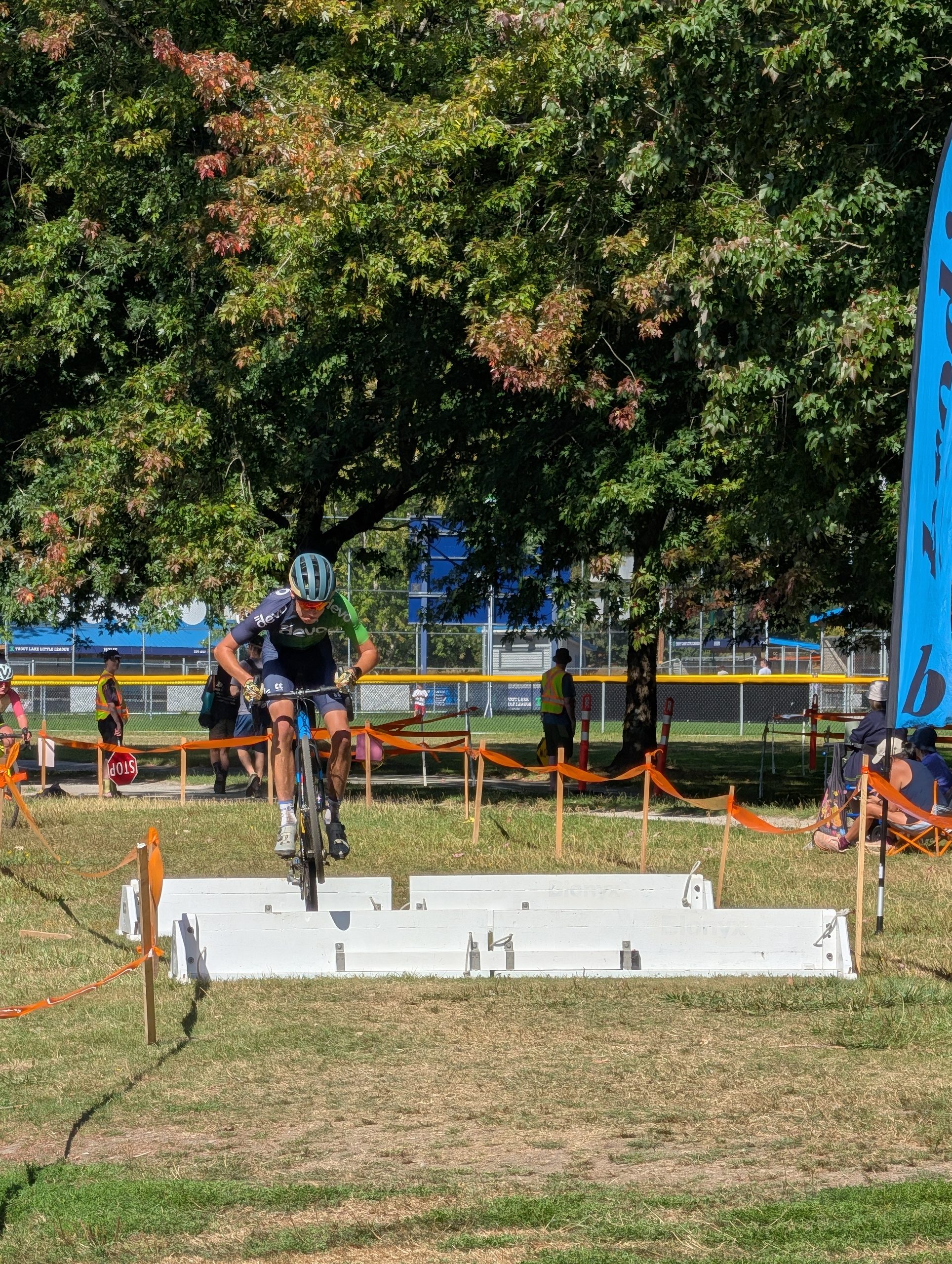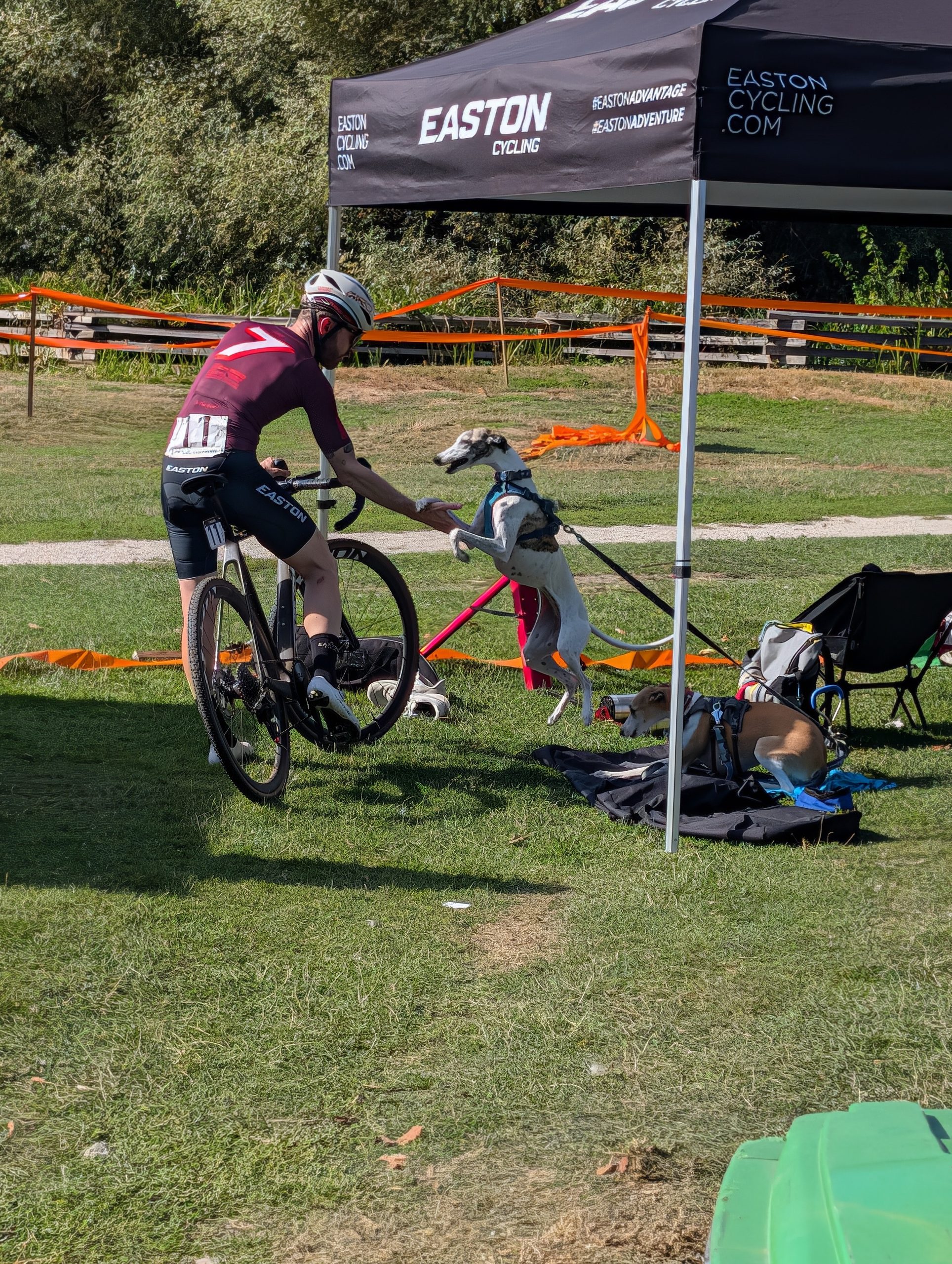
My only plan today was to check out the Shim’s Ride crit race happening about 5km from home, but I left the house almost five hours before the races I wanted to see without much of a plan. I did have my new camera with me, a Panasonic Lumix ZS300, which replaced the ZS99 I owned for 13 days but decided the image quality was just too poor. The 300 has only half the zoom, but a much larger sensor. It also cost about 60% more, so I hope I get my money’s worth out of it.
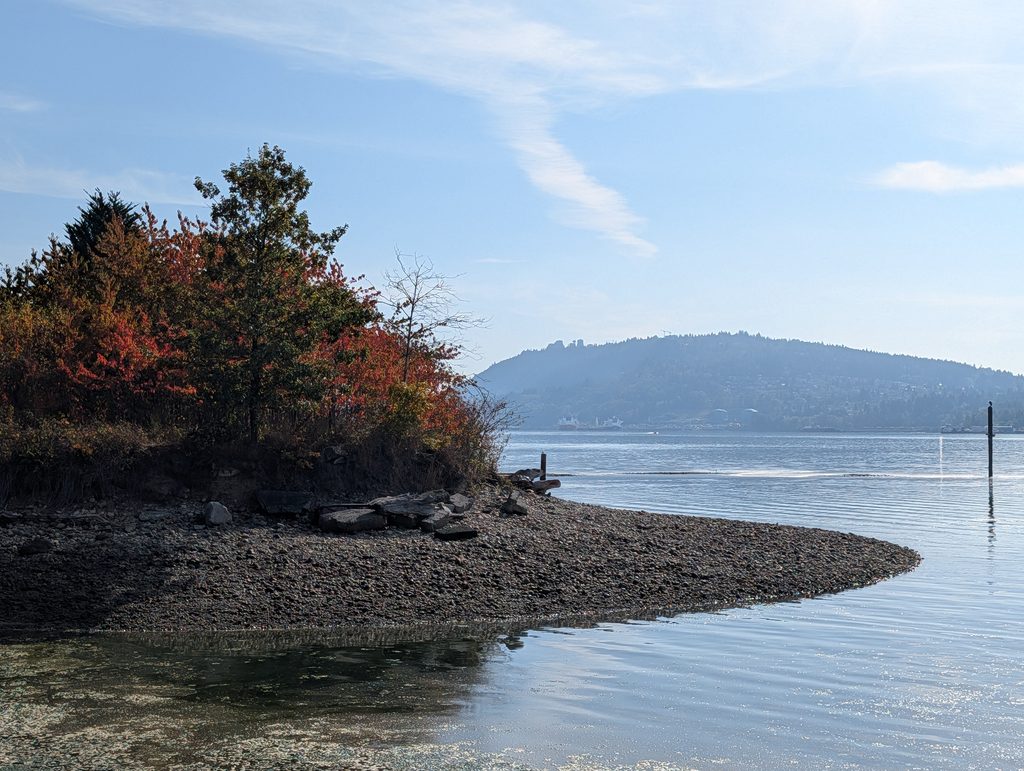
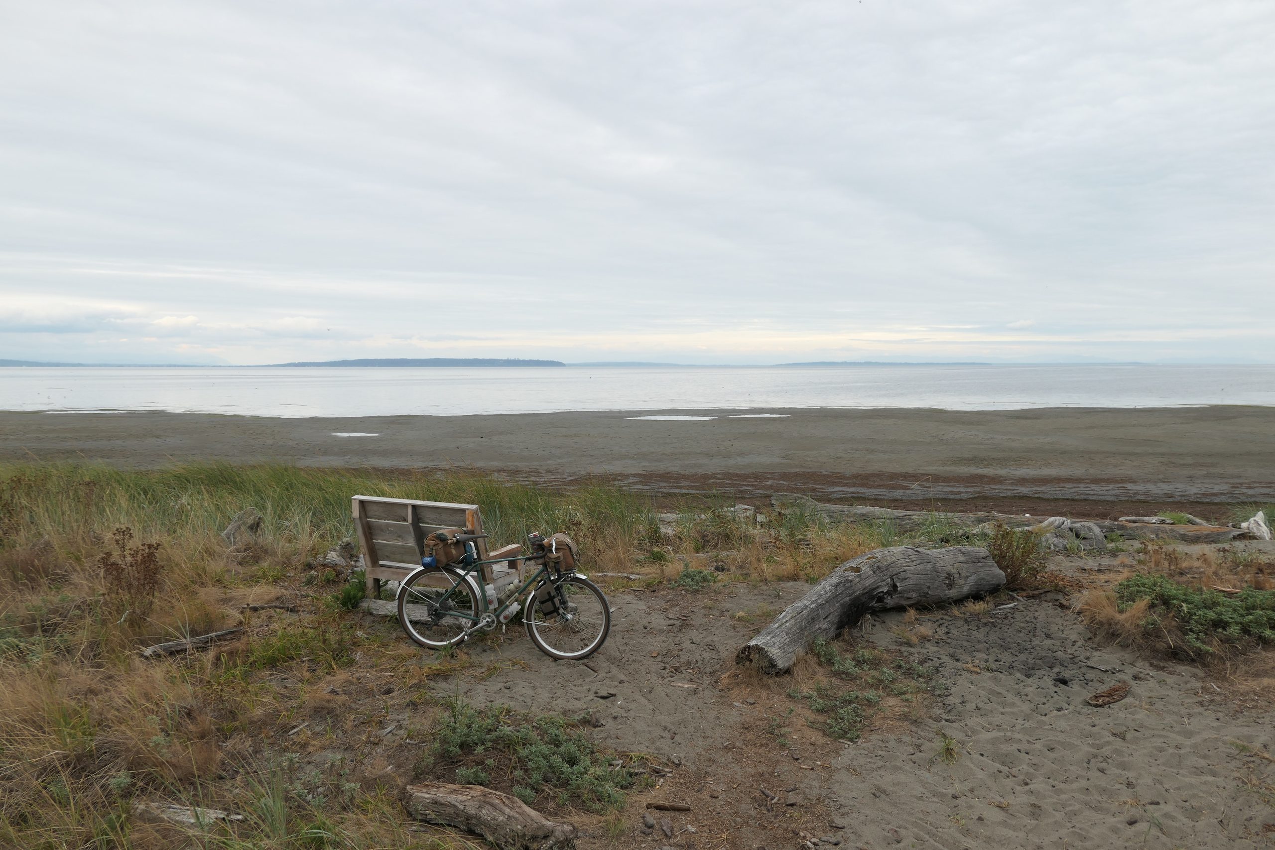
Having this camera with me, I figured Iona would be a good destination; it’s about 28km each way, and is a local hotspot for birds as I’ve covered before. I decided to ride out to the far end of the northern spit, which is mostly hardpack but does get sandy in spots:
The tide was really low, and the sandy beach extended as far as I could see – and was firm enough I was able to ride around on it for a while! Pretty fun but also pretty tiring – and pretty hard on my drivetrain, I imagine.
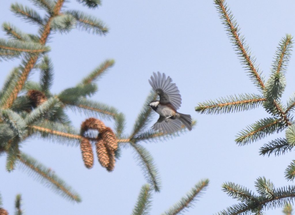
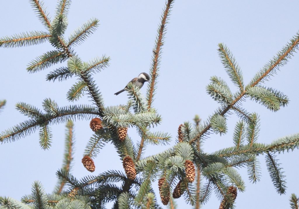
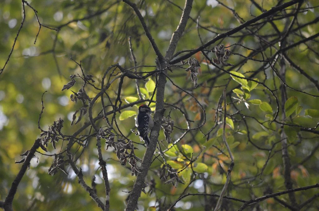
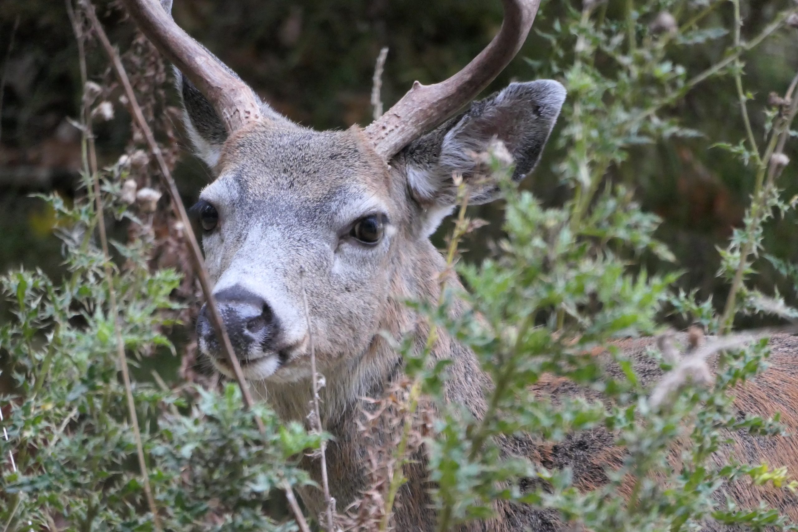
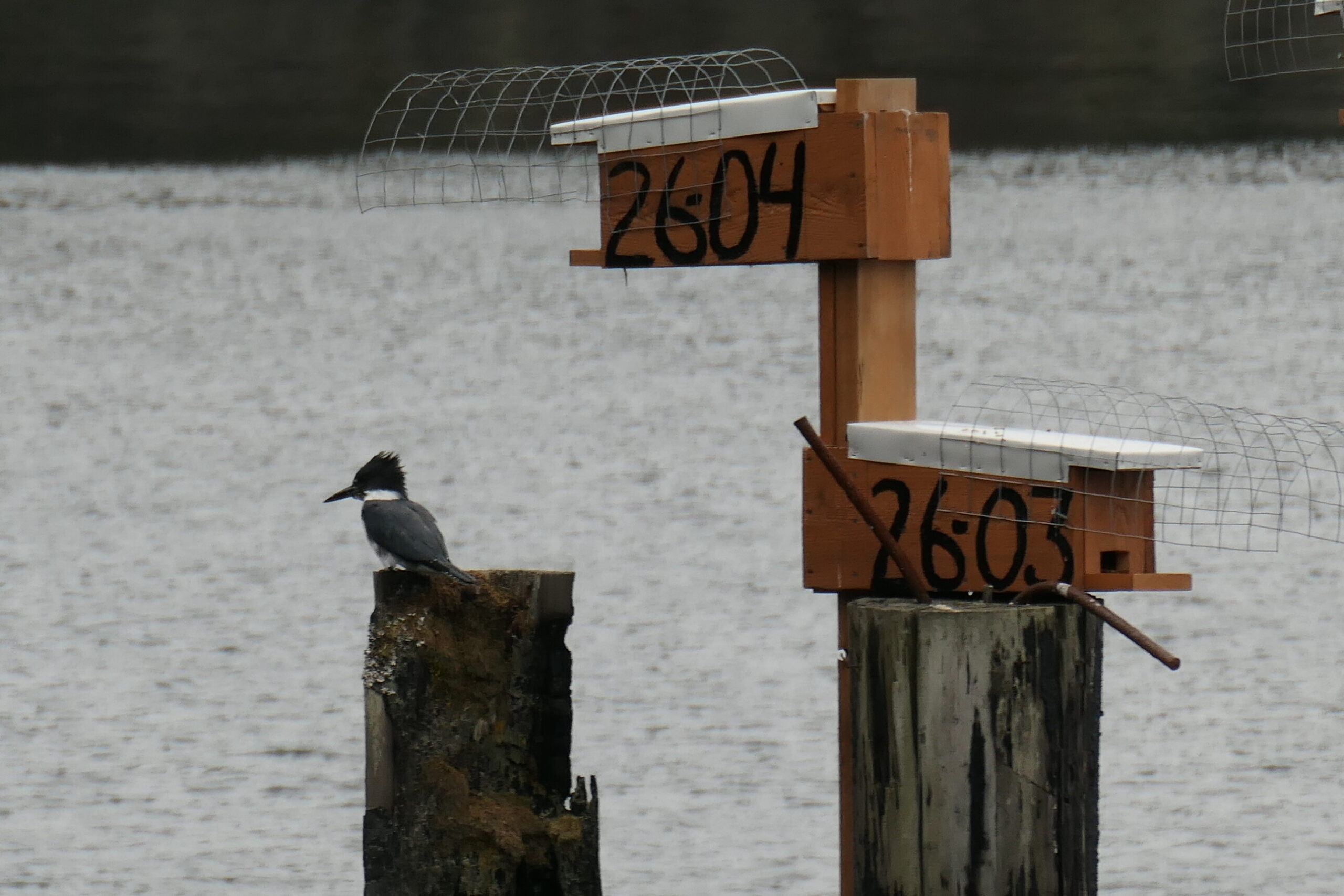
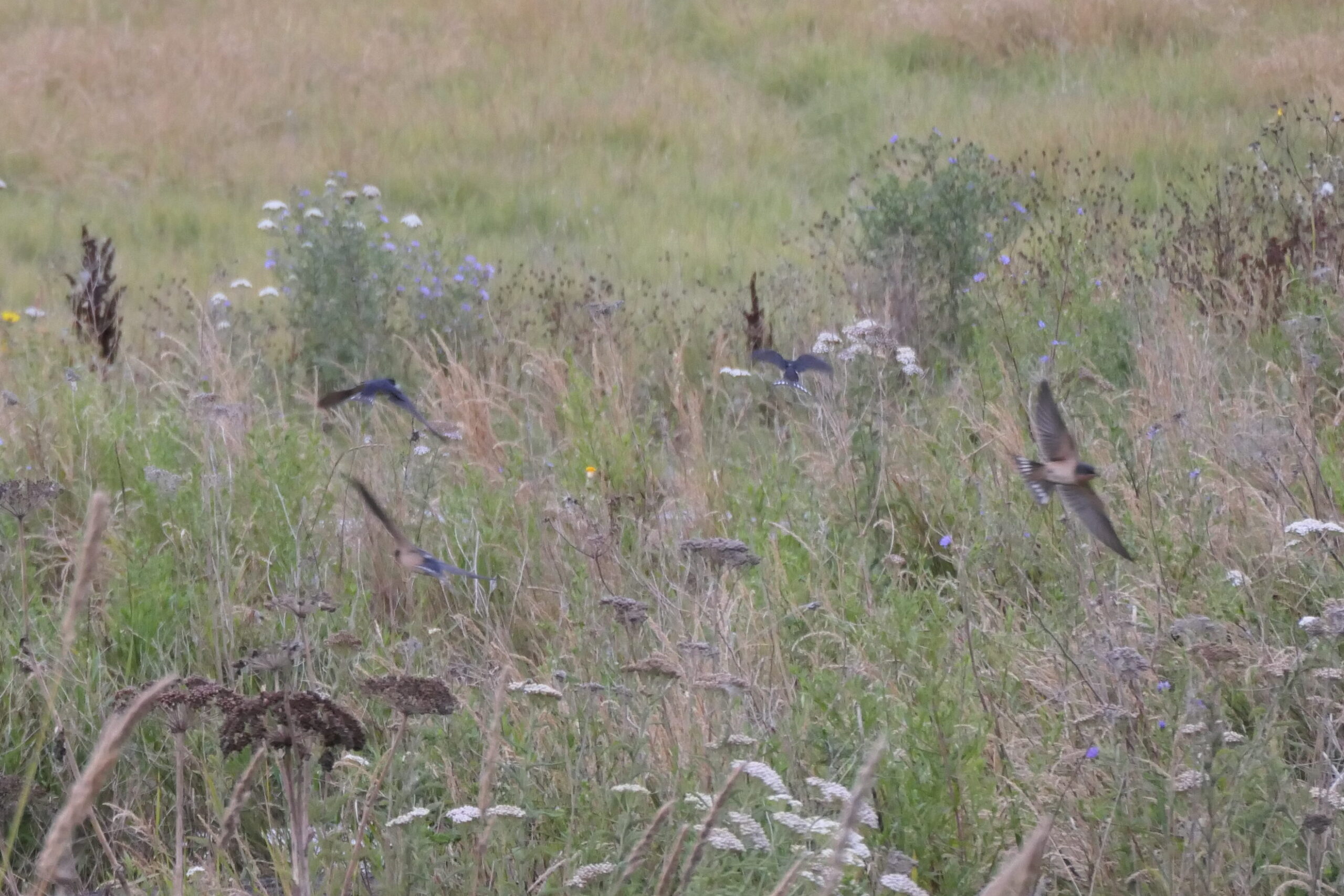
As for the photos I got with the new camera, the birdwatching wasn’t too exciting but here are some images off the camera. I’m pretty happy with them considering it’s a 15x zoom point-and-shoot.
It’s July now, but you’d never know it this day. While much of the world is grappling with heat waves that fill my heart with despair, Vancouver was about 13C and rainy all day. At this time of year that’s kind of novel, so I decided to go for a ride up to Rice Lake where it’s always most beautiful – and quiet – in the rain.
The north shore mountains should be visible in that photo above, but they were fully socked in. I chose the poncho rather than the rain pants and jacket, partially as I thought the rain would taper off. It did not.
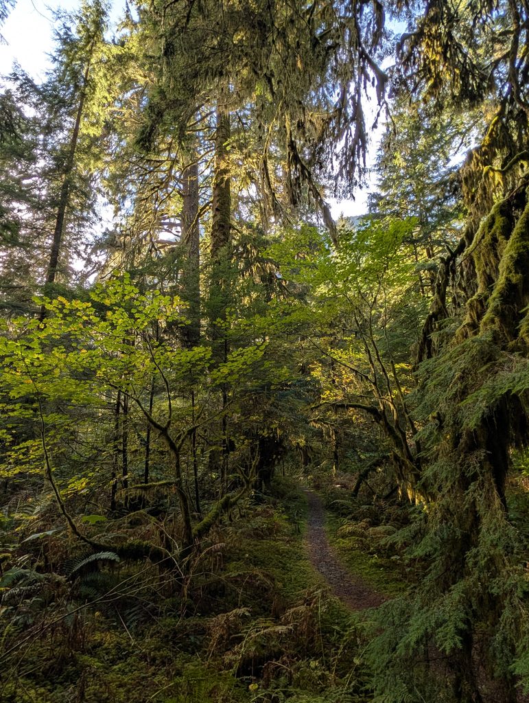
I rode Fishermans to start, then climbed up to the paved parkway. Both were especially lovely with the rain and bit of fog.
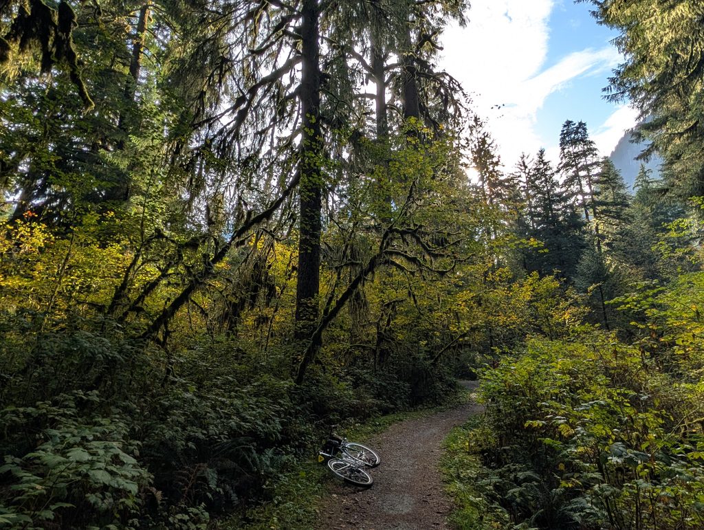
I hardly saw anyone in the forest, but the birds were especially numerous. Lots of Swainson’s Thrush up for the summer; they’ll head to South America for winter. I went to probably the best spot around the lake, which is often occupied in fairer weather but today it was mine:
The rain was light but persistent, creating a shimmering effect on the still lake. There were a few people walking around the lake, their conversations carrying easily over the water.
I passed through some thicker fog on the way out which made the forest look even better, above. Below shows just how much rain had fallen today – the rains never got that heavy, but they also never let up.
I had only ridden one day so far this week, and set aside all day on Saturday to ride with little other plan. This time, I didn’t want to set any distance expectations and instead just wander on the Bombadil. The Bombadil is not made for speed, anyway. One of the reasons I chose the Bombadil for this ride was the potential for precipitation, as it currently has fenders. Alas it actually turned out to be a bit of a hot and sunny day.
I took a pretty indirect route but eventually ended up along the Spirit Trail in North Vancouver, and I was anticipating this collection of wildflowers near the brewery district from prior years:
I noodled up from the bike path along what’s well-established now as my preferred route to Cypress Bowl Rd. It would be confusing for a first-timer, but once you’ve done it a handful of times, it all links up naturally and keeps one off busy streets almost entirely.
Then it’s a short push up a steep right-of-way to the highway fenceline that Rob found a few years ago now. It’s been well maintained despite being so well hidden – I have to assume it’s a favoured local connection.
Next up is the lower Cypress lookout located at the first hairpin. Behind me in this photo is a busy open patio of folks enjoying pizza and beer. I considered it, but wanted to press on before I lost steam.
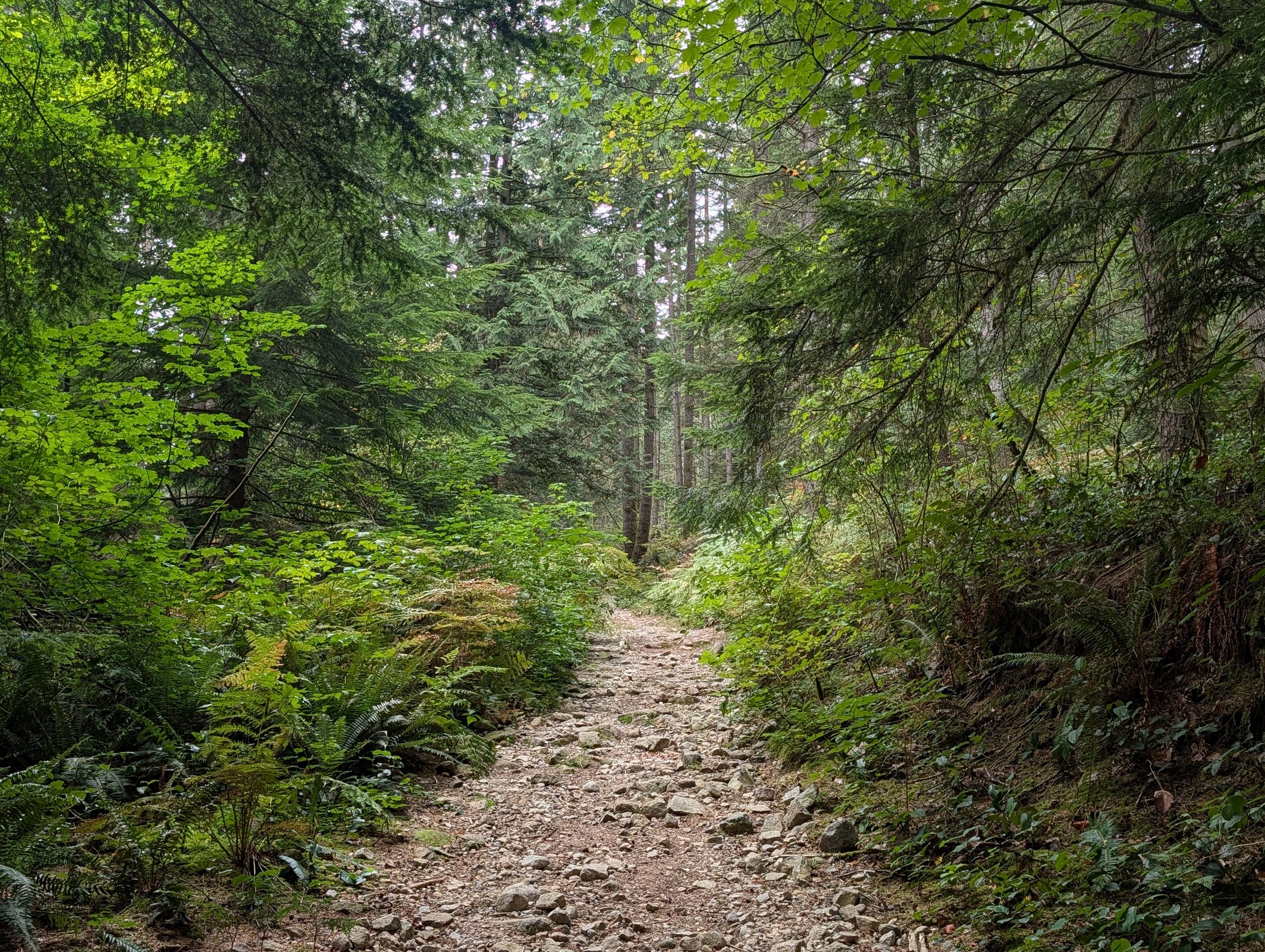
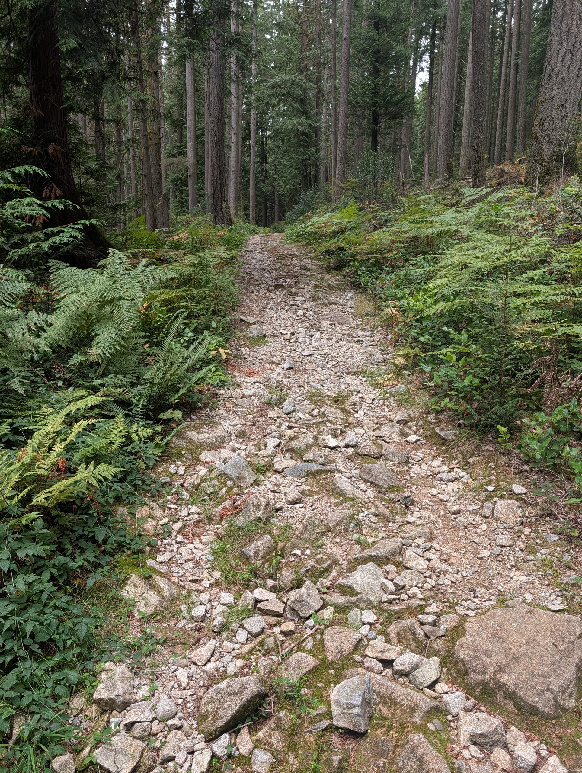
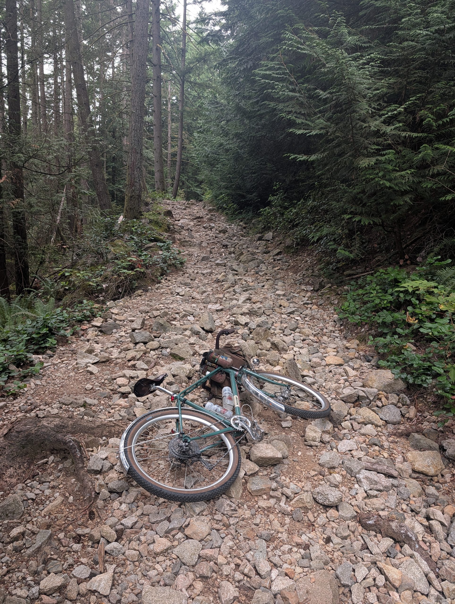
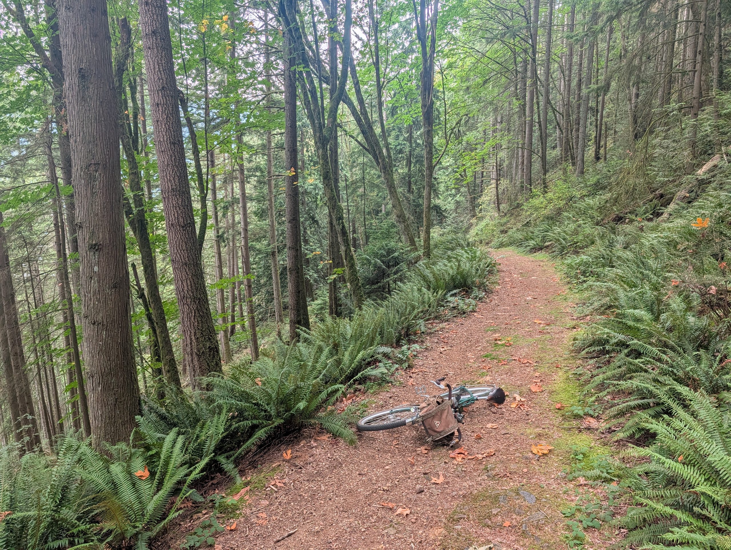
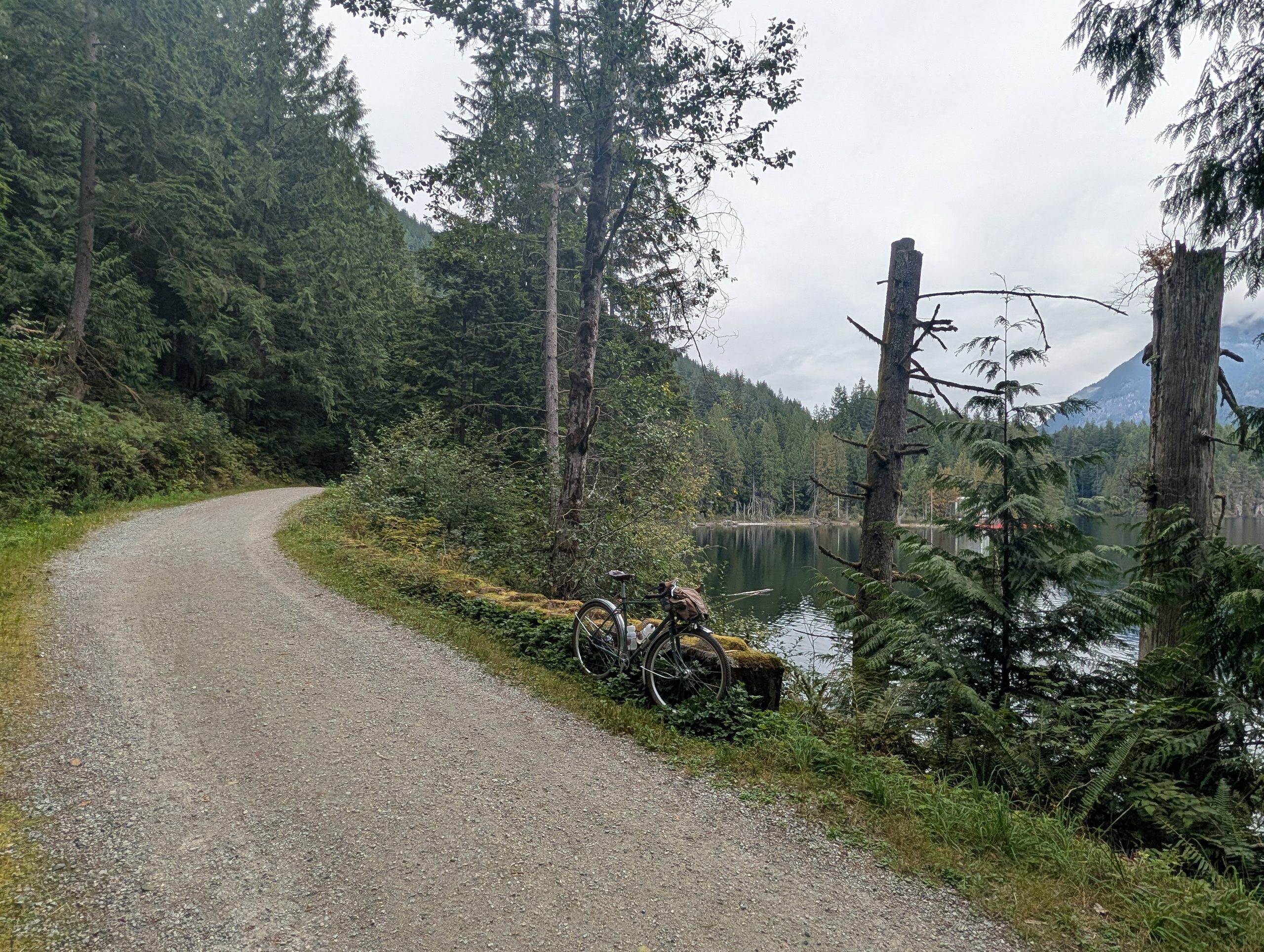
The next bit was steep, but the payoff is good once you reach the Nelson Creek FSR. It’s chunky in spots, as noted below, but it’s also relatively flat.
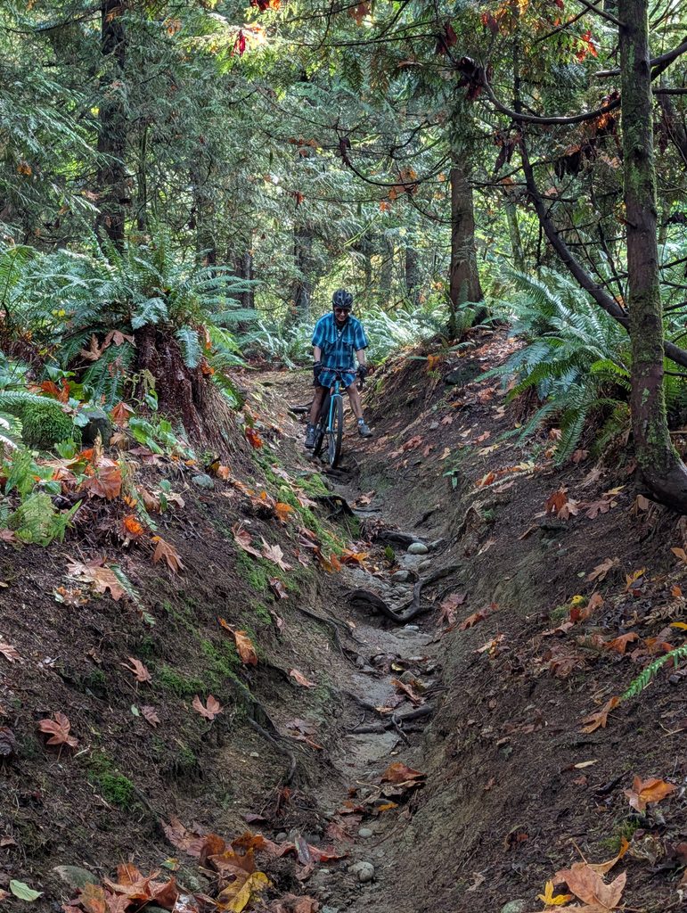
The FSR ends with a steep connector trail down to the popular Whyte Lake trail, but just before that is Brown Teacup – a relic from a forgotten era, it’s pretty steep and hasn’t been popular in probably twenty years, if it was popular at all.
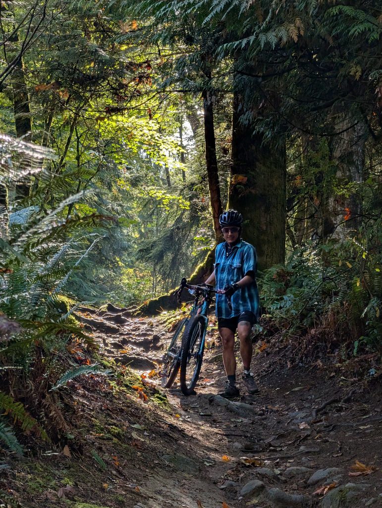
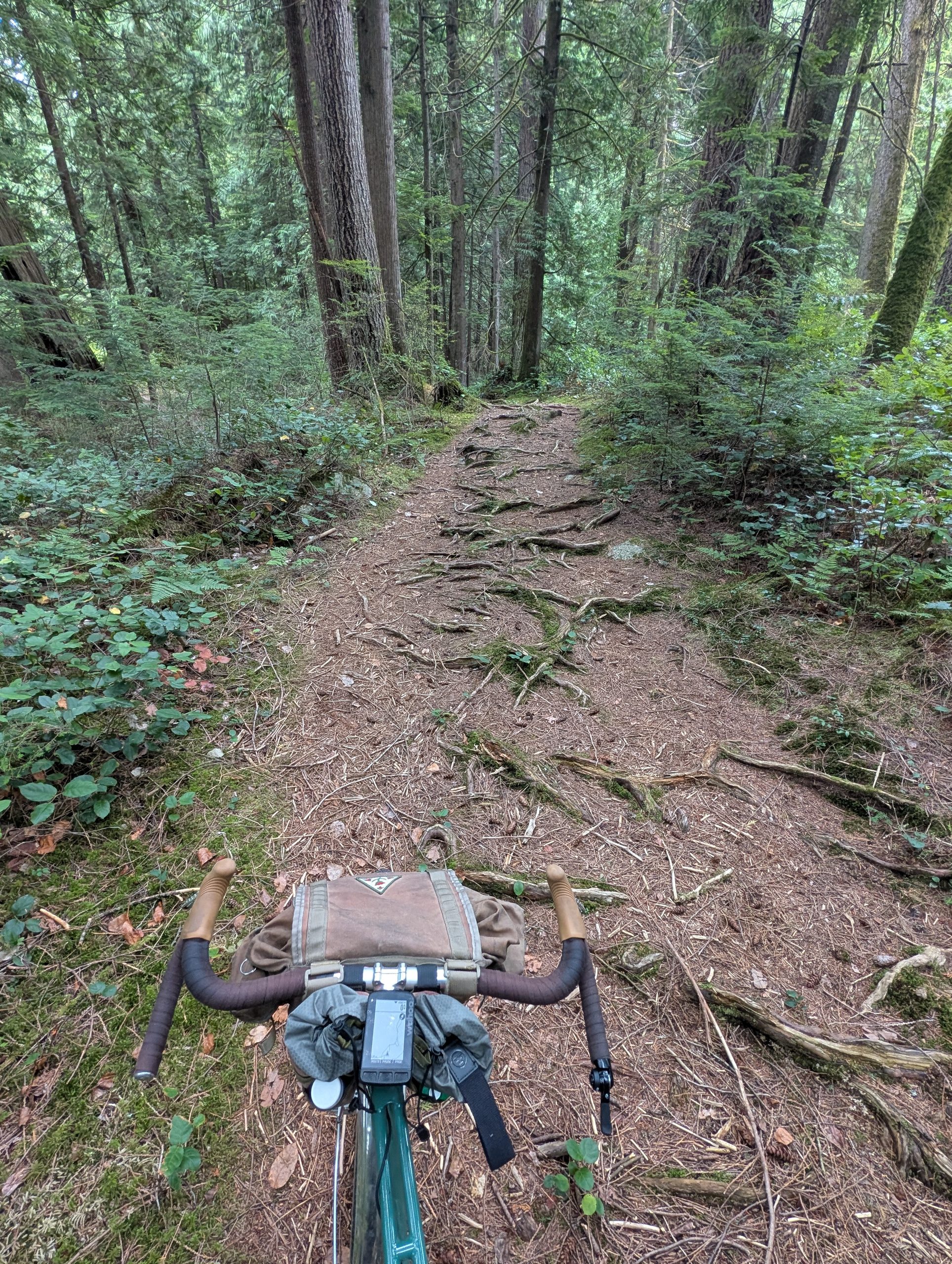
The trail doesn’t look bad in the photos I took, but I was too busy clamouring down the steep rooty, rocky chutes that define the trail to take photos for the most part. Short bits were rideable on the Bombadil and I enjoyed every foot of this.
It was a pretty long ride back from essentially Horseshoe Bay back to town, but nothing noteworthy to photograph. A key part of my ride plan, and just about every West Van ride plan between May and September, was a stop for fish and chips at the Boatshed. I wish we had more of these concession stand type setups around town – perfect for someone like me who wants to spend all their time outside.
Back in January, a friend caught wind of this bike event happening in the new Southlands development in Tsawwassen and signed up for it. I jumped on the bandwagon and signed up as well – it was free to participate but limited to those who had registered – and it filled up in five days!
Fast-forward to this past Saturday and the event was here, and the weather was sunny but not too hot – perfect for a big ride. I headed off at 9:20am for my 1:30pm start time, which gave me about an hour of dilly dally time along the way.
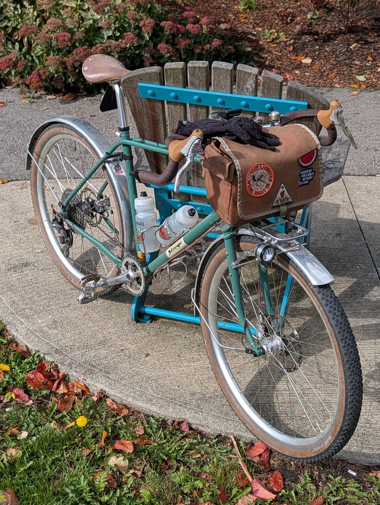
The Hillborne’s recent rebuild into a more sporty and lightweight version was perfect, since it was going to be well over 100km round trip and include a fair bit of gravel. The ride involved following the bike route along the SkyTrain into New West, then a couple bridges to get into Delta, the latter of which (Alex Fraser) is a doozy.
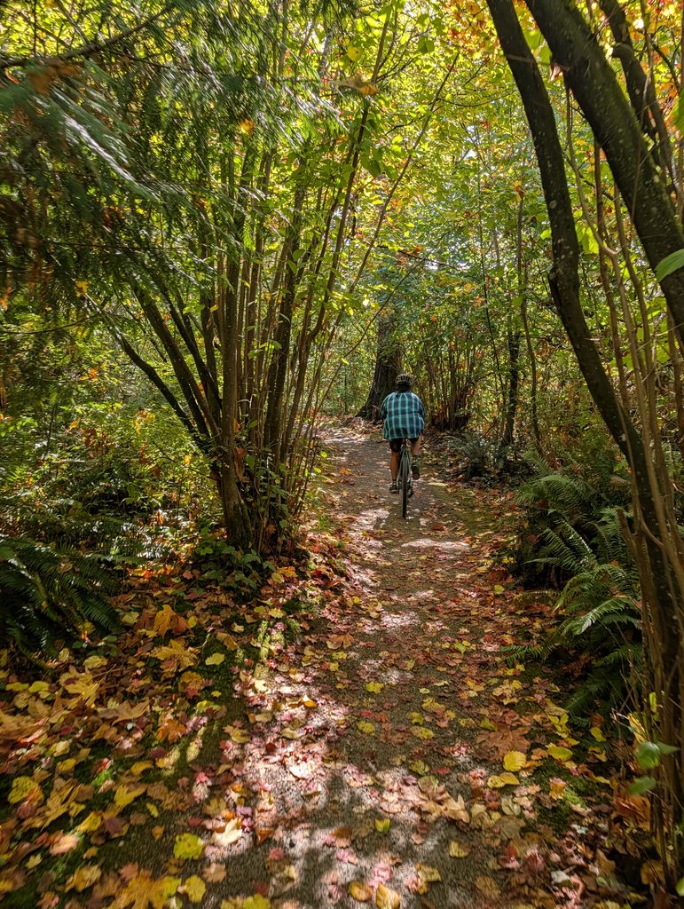
But once in Delta I was able to almost immediately hop into the woods and ride a series of forest paths that run along the bog that separates South Surrey and Delta. I heard a variety of songbirds through here and tried to use my new camera to get some good photos, but no luck – and I had to keep moving, because there was still a ways to go.
After the north-south forest paths, it’s a long ride along the beautiful Boundary Bay dyke to get to Tsawwassen. I think it’s around 15km, but feels longer due to the monotony. I also had a headwind, but it’s hard to be mad when the path is lined with flowers.
The ride itself was about 15km, which we extended by about 3km to ride to the other, original Four Winds location at the far side of Delta, before turning around and heading back south to the Beach House location. By the time we finished the charity ride I was over 90km into my day and was at the furthest point from home!
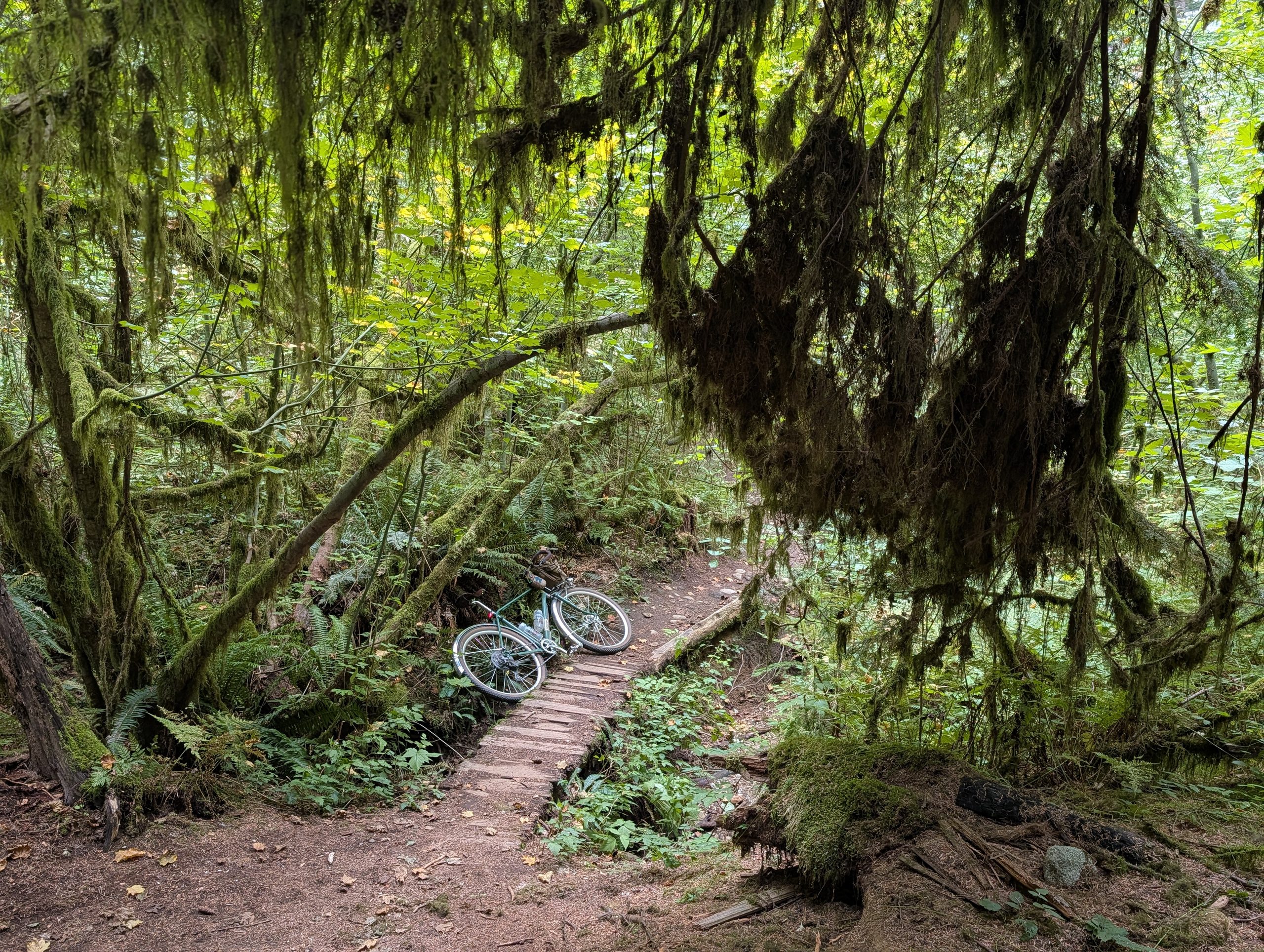
The event itself was a great success it looks like – well organized, especially considering it was the inaugural year. Bands were playing, with local legends 54-40 headlining later in the evening. We left about two hours before they were going on, though.
I didn’t take a lot of photos on my 50 km ride home, but here’s one mid-span of the aforementioned Alex Fraser, complete with sunscreen filter on the lens. The ride finished up around 145km in length, my longest ride in a couple years I think, but I felt fresh and energetic right through the end, to my surprise!
The temperature is rising, although we’ve been very lucky compared to many places so far. Today was quite warm, though the heat wave doesn’t fully kick in until tomorrow – and isn’t expected to last more than a couple days. Nonetheless I figured I’d get out today so I can stay in tomorrow and keep cool.
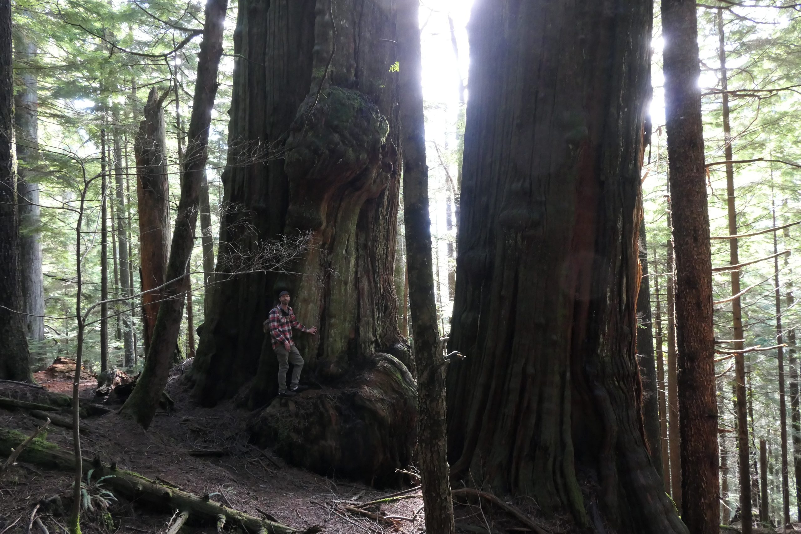
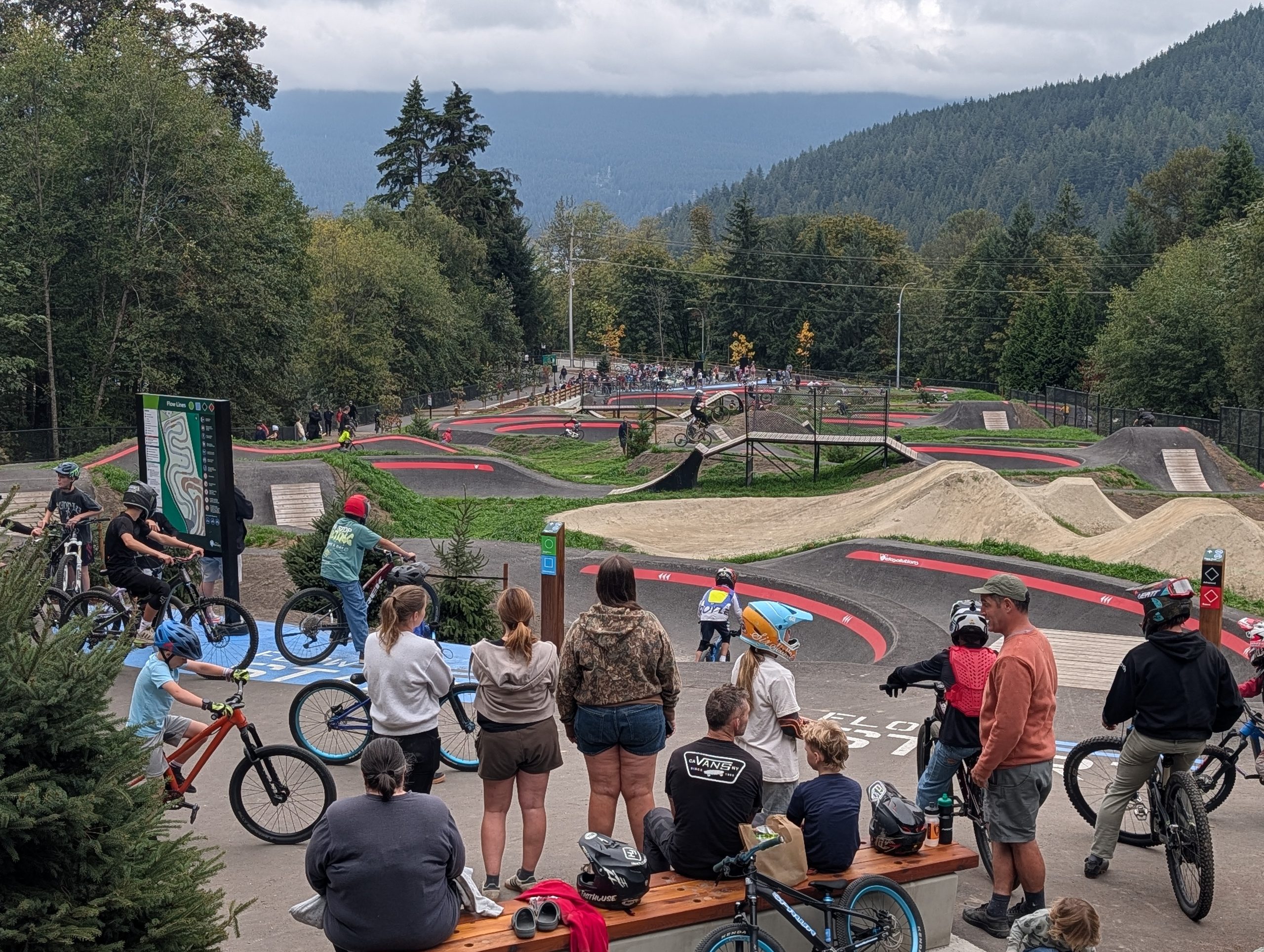
My ride started with an errand, taking our stash of lightbulbs and batteries to the recycling depot. After that it was only a couple kilometres before I was in the scene to the right: surrounded by birdsong and greenery. This is also my solution for when it gets hot, too – it’s always a few degrees cooler in the forest.
I had packed my hammock with the intention of finding a seaside spot at Cates Park, near Deep Cove. I ended up poking my head down a small trail near the entrance to the park which worked out perfectly – very quiet, and well-spaced trees giving a variety of options. I had the area to myself the whole time, since the coastline was quite rocky here with beaches either side attracting the others.
On my way home I swung into the Maplewood flats bird sanctuary briefly; I didn’t do any birding really but I did snap a few photos. The tree below was actually on the way out to Cates; what a way to grow! And the flower photo, check out the surprisingly in-focus bee in flight.
An out-of-town friend who used to race CX was visiting for a few days, and we arranged a couple evening rides. In an effort to best fit in with his lightweight single speed cyclocross bike, I pulled the fenders off of Sam and put some Terra Trail tires from the bin on.
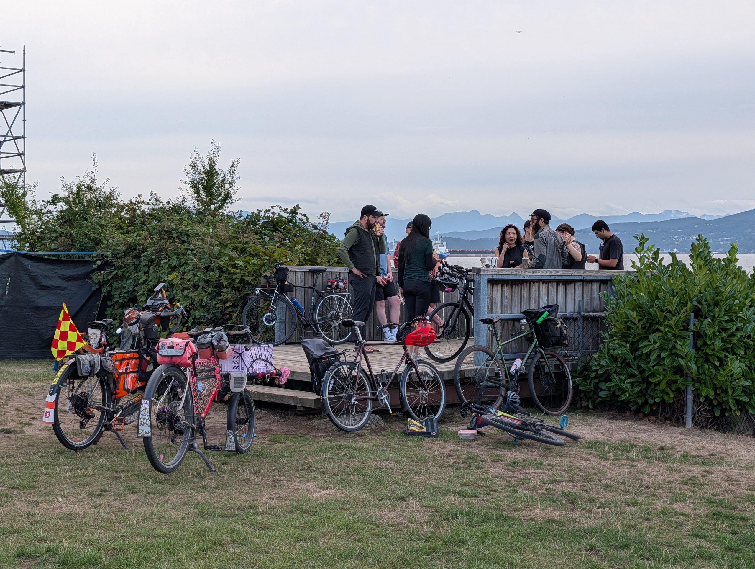
We rode out to a bit of a hidden section of beach near Jericho Park and spent some good time together, having some fancy beers and scaring off a group of kids whose beach fire was briefly out of control. The Hillborne feels so sporty compared to the heavier and more upright bikes I’ve been riding! A pal commented that he could not keep up with me, a pal who I am often struggling to keep up with myself…
Okay it was a little over 24 hours, but given the ferries required I believe a few hours’ grace is warranted. I booked Site 1 at Pender back in January for this past Sunday night, already being unable to secure it on the weekend for the season. It went super fast for good reason – it’s the end site, closest to the water, with an uninterrupted view of what I believe to be one of the most beautiful bays in all of the gulf islands.
On departure day, the weather was pretty wet, though dry over on the island. Given I’d just done the somewhat tedious 3 hour ride to the ferry two weeks ago, I decided this time I’d save some time by driving to the ferry. I don’t regret this decision because it also meant less time away from home and I avoided a bit of a wet return ride, too.
I unloaded the bike at the ferry with extra time to spare, so I went along the very windy shore for the photo below and to look for birds.
I didn’t see anything too interesting, but when it was finally time to head to the terminal I saw a Pigeon Guillemot, left, and a bunch of Harlequin ducks right around where the ferry would be pulling in. These photos are quite poor because I aimed my phone camera through my Nocs monocular for them – I’m thinking I’ll either get a high zoom point-and-shoot, or a new phone with a better camera sometime. For now, this works for ID purposes.
Below is one of the most scenic bits of the journey, the jog around Galliano.
And here it is, site 1, photographed before and after I set up my tent. There is another site just out of frame to the left of the second photo, but this is the only site with unspoiled views.
I stashed my bag and a couple beers for later in the vestibule, below, and headed for a walk around nearby Roe Lake.
It was about 5km total from camp and a nice mostly-easy trail. The lake is largely untouched by humans.
Back at camp I enjoyed one of those beers (okay, both) and had ramen and a tin of sardines for dinner. I don’t think I’d take sardines again – everything they touched just smelled like sardines for the rest of the trip, including my cook cup. I was treated to beautiful skies as the evening progressed; a benefit of a not-just-sunny weekend.
I awoke at a few minutes after 5am to see the sky lit up in peach pink from the sunrise out of sight. I took a brief walk along the beach before climbing back into bed until 6:30. When I emerged at 6:30, I walked down to the beach in search of a stellar’s jay I heard, but instead found an American Dipper feeding along the water’s edge – much more rare and unexpected!
At 8:00 I started packing up after my coffee and breakfast, and by 8:30 I was rolling for the 9:20 ferry. It’s a hilly 6km route to the ferry terminal, putting me there right around 9:00 to see the ferry rolling up. A light rain started on my final descent to the terminal; perfect timing.
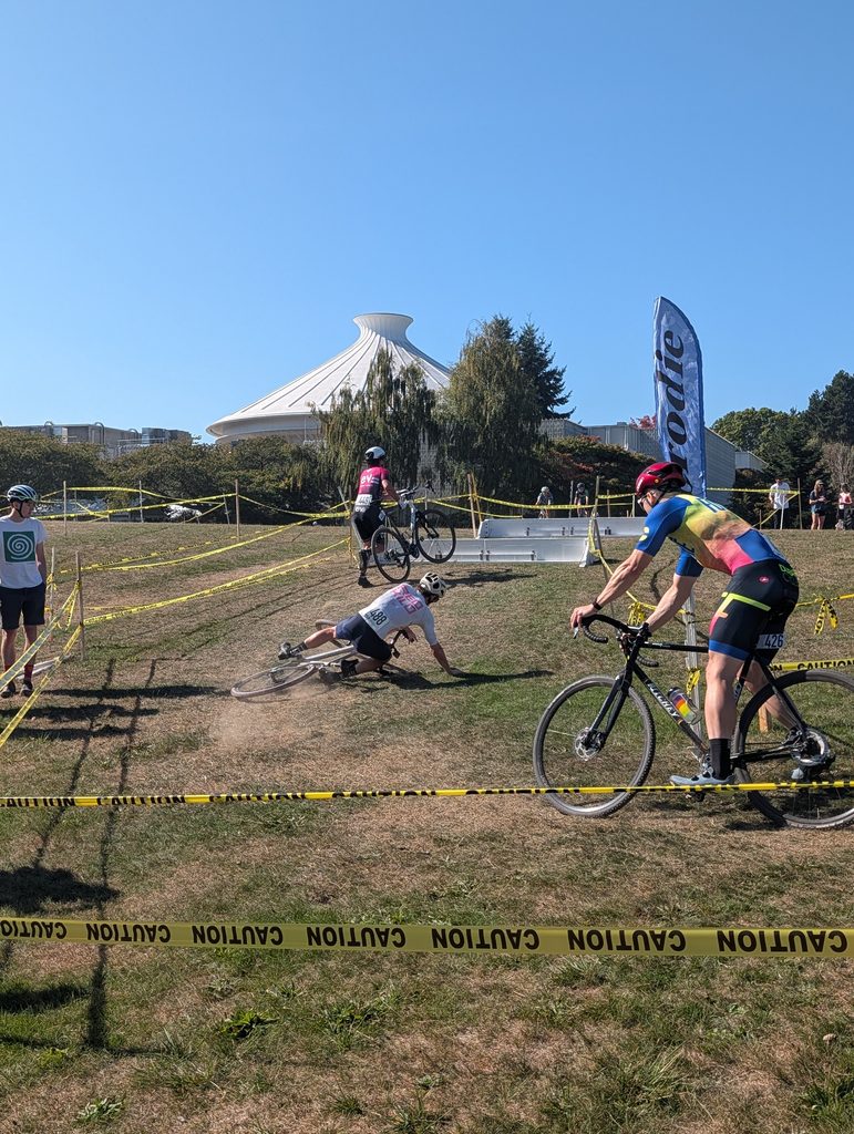
This marked the third year of the bike show out front of Main St Brewing, a show originally organized by the former head brewer Azlan (yes, like the lion, which coincidentally is his IG handle) but kept going through volunteer efforts since he left the tank wrangling for a different beer industry gig. The morning was very wet, but the forecast suggested it would clear up – and it did, just in time.
On the way there I zig-zagged this path in China Creek park which was in full early summer bloom:
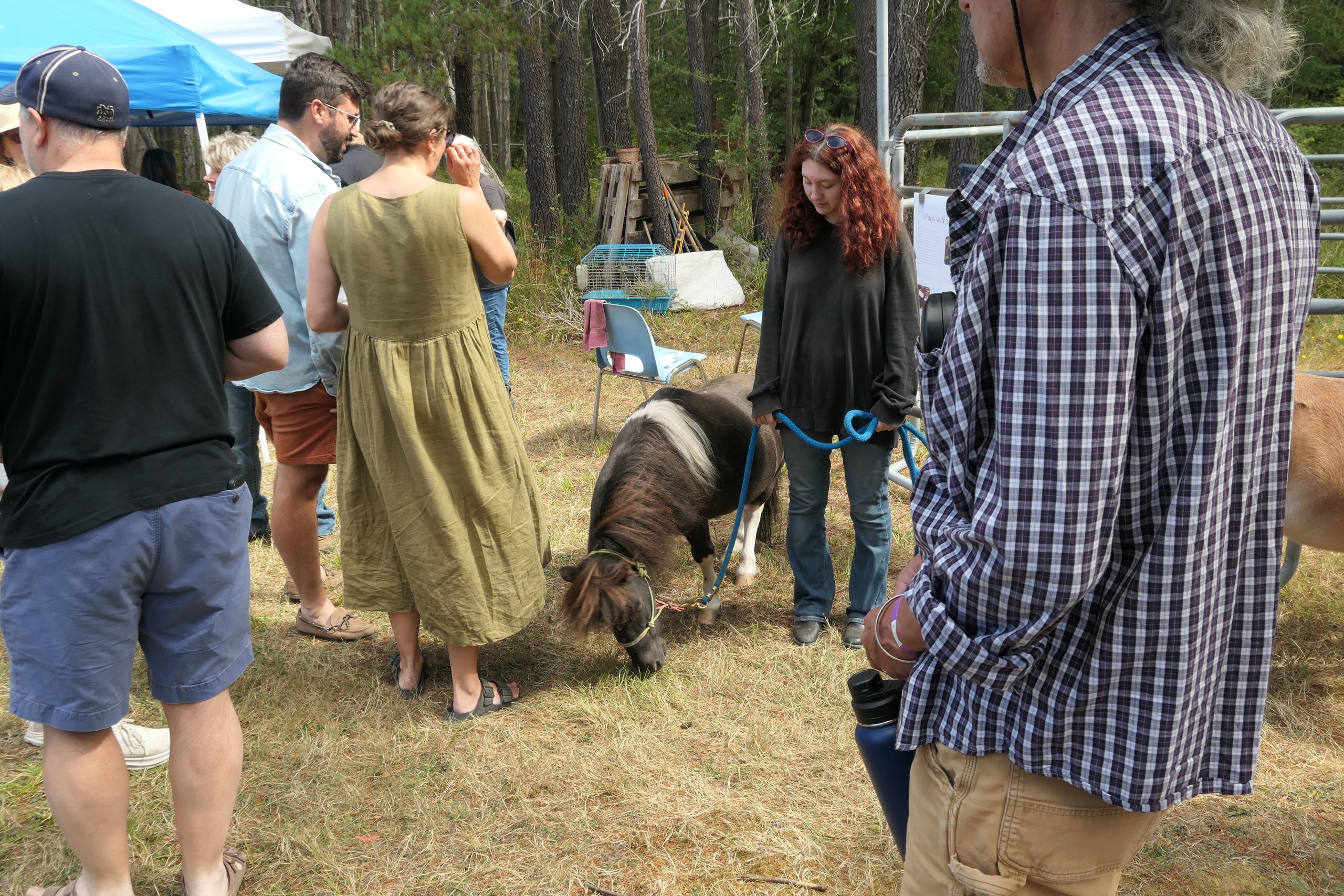
The show was 12 – 4pm, but since I wanted to enter my bike this year (haven’t previously), I figured I should be punctual. I arrived a few minutes after 12 and already there were a decent few people:
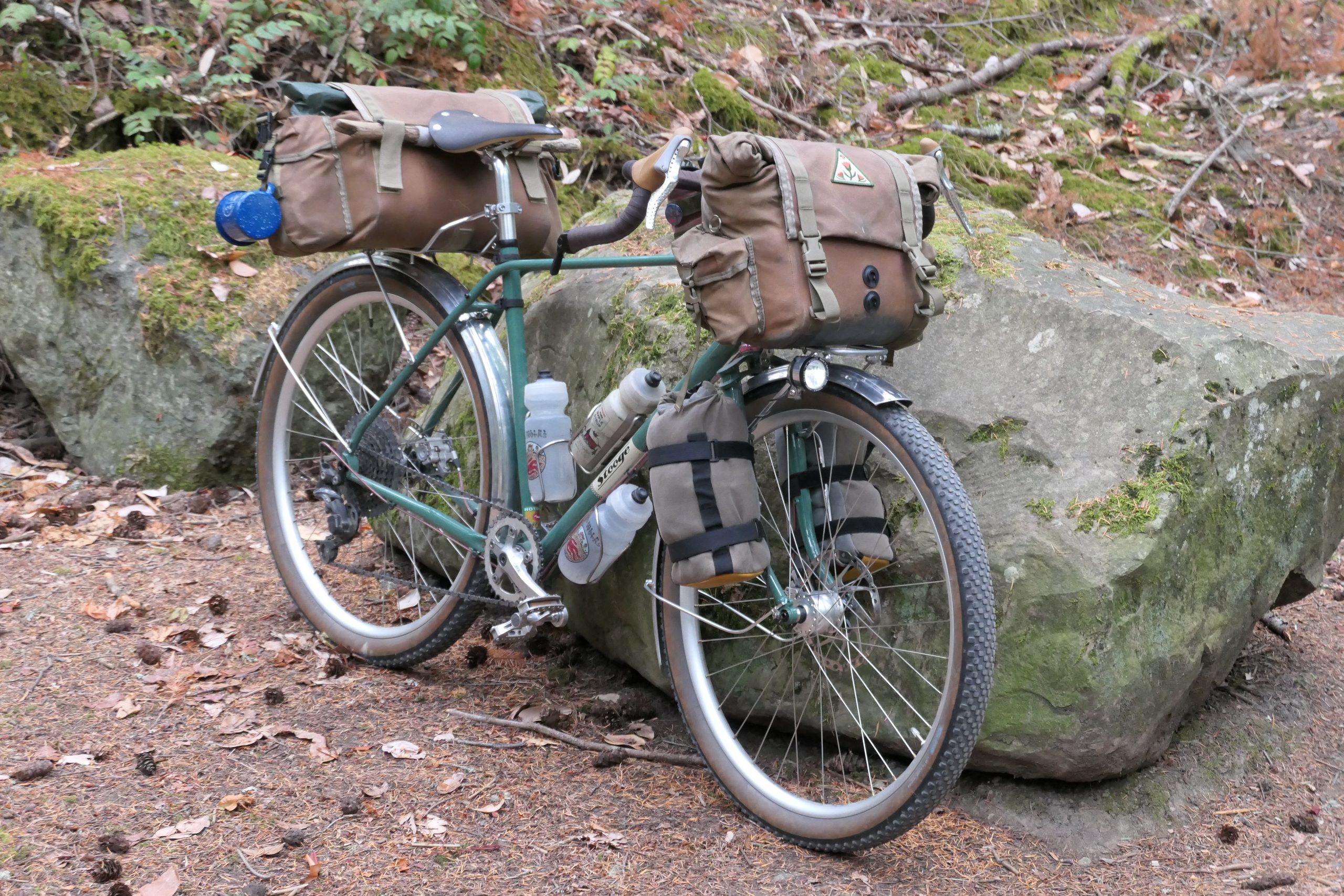
I brought my bike with the huge Rons Bikes bag combo installed for the next mornings’ camping trip. I figured, in addition to saving me time by prepping ahead, why not show the bike in its most complete form?
One of the highlights of the show for me was seeing one of these wild Hanebrink Extreme Terrain fat bikes from the early 1990s in person. I vividly remember the cover photos on the bike mags at the time this was unveiled.
I spent a lot more time socializing than photographing but here are a few I took the time to snap a pic of – including Paul Brodie himself alongside his infamous 69er DH bike. The white Ibis was brought from the island by its original owner, who had spec’d it with the less popular (but way more neat) roller cam brakes a la the recently passed Charlie Cunningham.
By 1pm the show had really filled in, and remained packed for the rest of the duration.
Outside the show’s boundaries, the attendee bike racks were full of equally cool bikes. And if you’ve spent any amount of time in Mt Pleasant you’re already familiar with this iconic red sidecar setup that always has a dog or two wearing goggles within it. I remember seeing them around as far back as 2010; the original dog has long since passed.
One more cool bike for good measure, and the awards at the end – I did see my bike number in the ticket pool, so I got some votes, but did not place.
Day three was my travels home; I chose to take the mid-morning ‘milk run’ ferry to the main island rather than wait until well into the afternoon for the direct ferry to Tsawwassen because I’d be getting home after dark on the latter. Besides, being carried around on ferries all day isn’t so bad!
First off, here’s a view of camp around 7am with the morning sun coming through the trees.
I made coffee and subsequently oatmeal and was packing up before 8am, but I did take the time to wander over to my favourite nearby viewpoint to enjoy the coffee.
Then it was packing up time. I am happy to say I finally got the food rations right – I ate through most of my food bag, leaving enough for the ride home without much extra. Other than beer I had only bought two bananas on the trip at this point; usually that’s where I go wrong: I bring enough food to not need to buy anything, then I buy a bunch of stuff anyway.
On the way out of the bay I pulled off to get a nice photo of the rig in the moss, below. Thanks to a few recent changes to the camp setup, I can comfortably fit everything I need in the pair of Fab’s Chests I have. Most notably it was a recent change from my bulky MSR stove system to the compact and ultralight, but discontinued, Simmershield setup that all nests into its little pot, including the fuel canister. I also left the Aeropress at home in favour of a more compact pourover setup.
I stopped at the general store on the way out since I was early for the ferry.
Below are two of the three ferries I would be on this day. First was the small boat just to Mayne Island, where I transferred to one of the Coast Salish mid-size models which took me to Swartz Bay – after an additional stop on Pender Island.
Back on the mainland, I noodled through Tsawwassen and then onto the Boundary Bay gravel trail, where views of Baker were omnipresent:
I chose to hop off the gravel trail and onto the farm roads that took me up to Barnside Brewing so I could get a potato salad and a lager. I consumed both very quickly.
Barnside was 17km into the ride from the ferry, and by the time I reached Queensborough I was another 20km along, so I stopped for more food: this time an A&W burger.
I didn’t take any photos on the remaining ~15km to home, as it was nothing new or interesting. The trip was a great success though – I felt pretty good, the weather was perfect, and I saw everything I’d hoped to see. My camp setup felt pretty dialled – there’s a few small things I’ve noted for next time, but no complaints.
The tally was 177km and 2150m elevation for the trip, a good balance between plentiful riding while not wearing myself out too much. My next planned trip is in just two weeks, an overnighter to Pender Island. My setup will be basically unchanged from this trip, as it will again be a rustic spot without available water, but being only one night will ease the burden.
I recently got home from a three day trip to Saturna Island, one of the most secluded of the southern gulf islands of BC and a personal favourite of mine. I am making a separate post for each day because I’ve got a lot of content!
This was my one full day on the island, and I had really just one plan for the day: to ride the road to the Lighthouse, which runs the length of the island on the opposite side from the ridge line I was already familiar with. I hadn’t been that way and didn’t know much about it. I did know, from looking at the map, it was a decent distance; about 20 km each way. On a gulf island, this is considerably more effort than usual because of the brutal and repeating hills.
Of course, before all that, I brewed some coffee and walked to a nice coastline spot to enjoy it:
Once the coffee was finished, I made oatmeal in the same mug and enjoyed that at the water’s edge in the bay next to camp. After cleaning up I hopped on the bike and shoved off just around 9am. The first leg of the route was to follow the road back to the general store near the ferry terminal, about 7km. Then I had to descent and climb some sizeable hills to get over to the coastline road I’d be spending the next 10km or so on; but first I went to check out nearby Winter Cove:
There is a 0.6km long trail that takes one to the very tip of the point creating this cove, which is a stone’s throw away from south Pender Island. The narrows between the two islands creates rapids as the water flows in and out of the cove with the tides. Below you can see the point in the distance where it appears you could even walk across (nope), and when I got there:
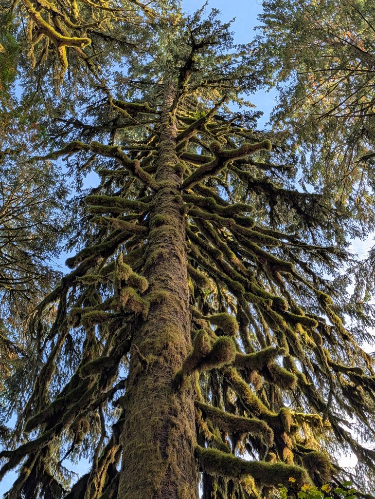
Along the trail I spotted a huge arbutus tree about 40 ft off-trail, and gingerly carried my bike to it for scale photos. I felt guilty going off-trail in such a special ecosystem, but did my best to avoid stepping on plant matter.
Next was the coastal road to the lighthouse park. Much of it was right along the water, sometimes dipping inland (and with the hills to show for it). Below, right: aspirations that never materialized?
The lighthouse park was more beautiful than I expected. Grasslands with no wind protection from the open water, and dozens of barn swallows swooping around overhead.
Most of the gulf islands are surrounded by other small islands, but the water here is quite open; in the far distance is Point Roberts and Boundary Bay. On the rocky point are a ton of gulls as well as a handful of black oystercatchers.
Looking back into the wind, the lone structure dwarfed by the size of the landscape.
Also, this sea lion chilling on the rocks, lulled to sleep by the sound of crashing waves. And back on the road return.
Returning to Narvaez Bay, I stopped in at the cove opposite the campground for a beverage and a view. At this point it was almost 5pm; a solid eight hours out wandering about on the bike! I had spent a good deal of time birding as well; the birds here are so plentiful and diverse. I saw a few new ones for me, such as the western tanager and osprey.
Back at camp I made my second dinner of ramen (different flavour, at least!) and wandered the woods doing some birding:
At this point it was about 7pm, I was done dinner and I had no further plans for the evening. Realizing I had about two hours of light left, I calculated that I could hike up to a nearby lookout, Monarch Head, and get back before dark. I set off solo, and unsurprisingly, didn’t see another person the whole time.
It’s about 1.5km each way, climbing from sea level to a pretty wonderful view of the international waters between Saturna and the San Juan islands. This view is not quite as good as the ridge line from yesterday, but the effort is substantially less also – the trail is smooth and the grade is surprisingly chill.
And then the 1.5 km walk back to camp as the light started to fade. I felt like I really made the most of the day without feeling rushed, and accomplished everything I hoped for and more!