Like most cyclists who like to go camping by bike in southwestern BC, the southern gulf islands hold a special place in my heart. I try to get out to one of the islands two or three times a year, which is the most I can seem to manage in balance with the rest of life.
Saturna was the only island with a campground that I had not yet visited. It’s one of the southernmost islands along with South Pender, bordering US waters. It is even less populated than most other gulf islands and has particularly few amenities. Narvaez campsite has no fresh water, and the only general store is at the opposite end of the island from the campground.
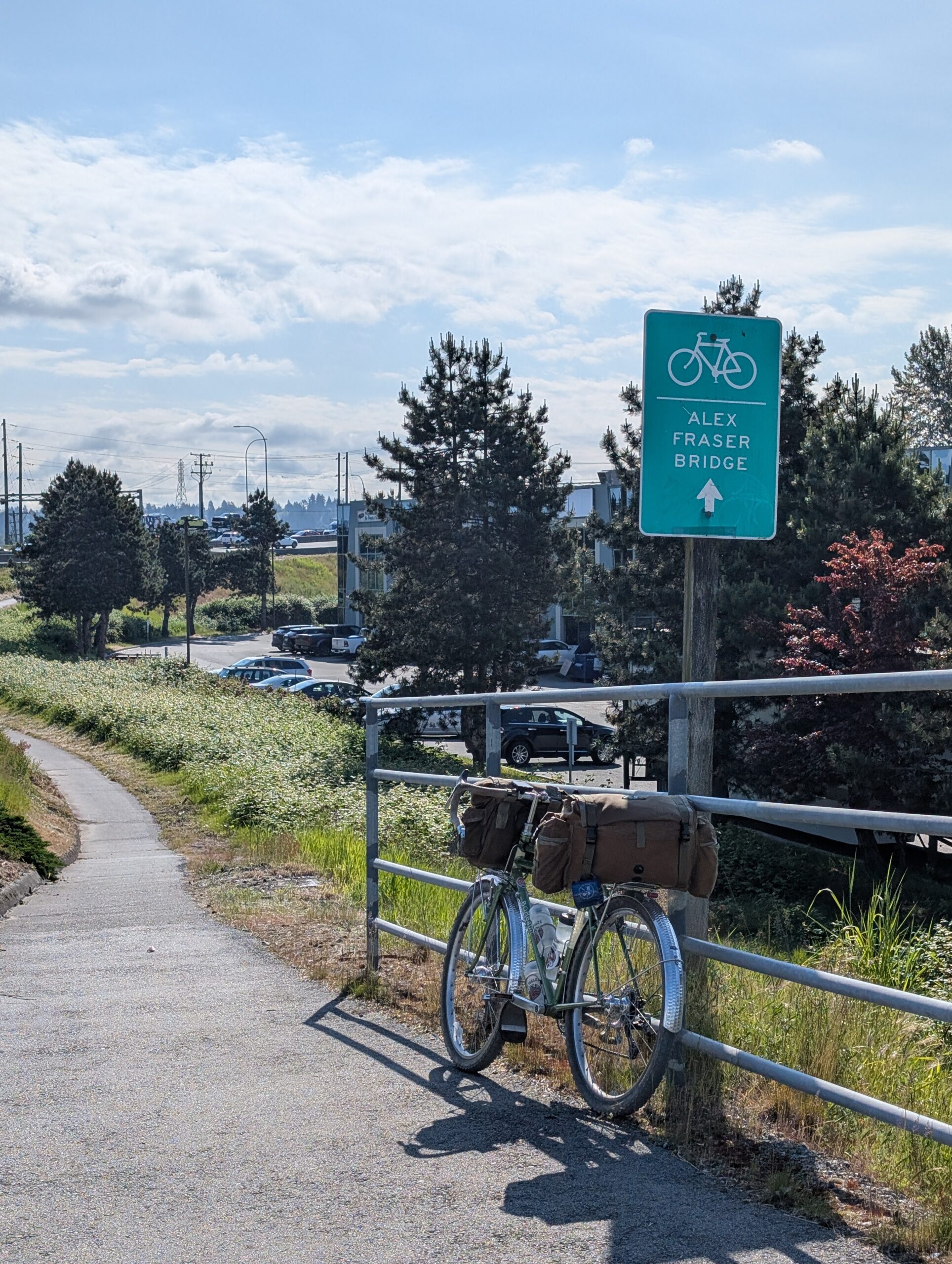
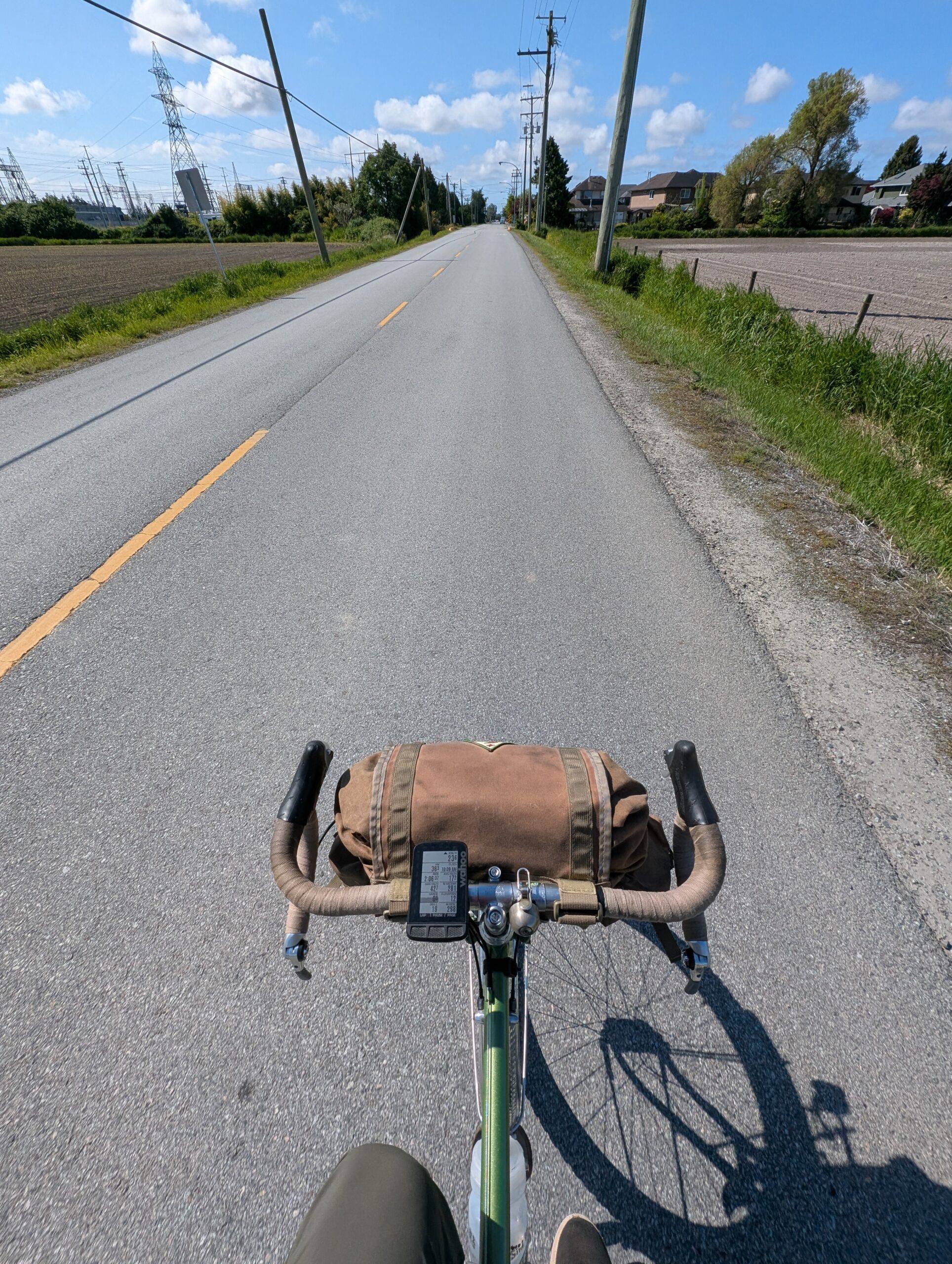
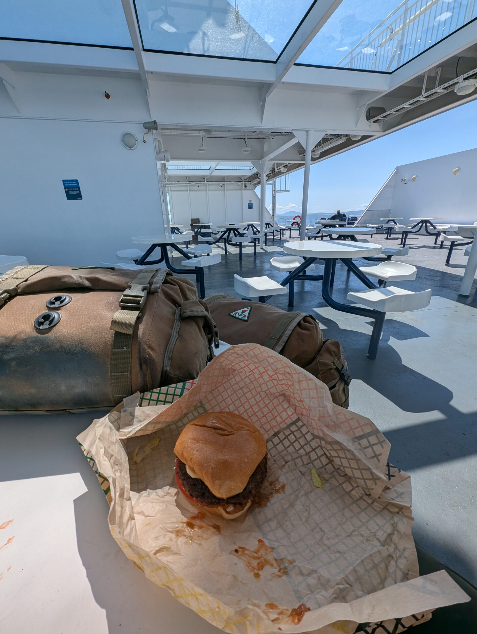
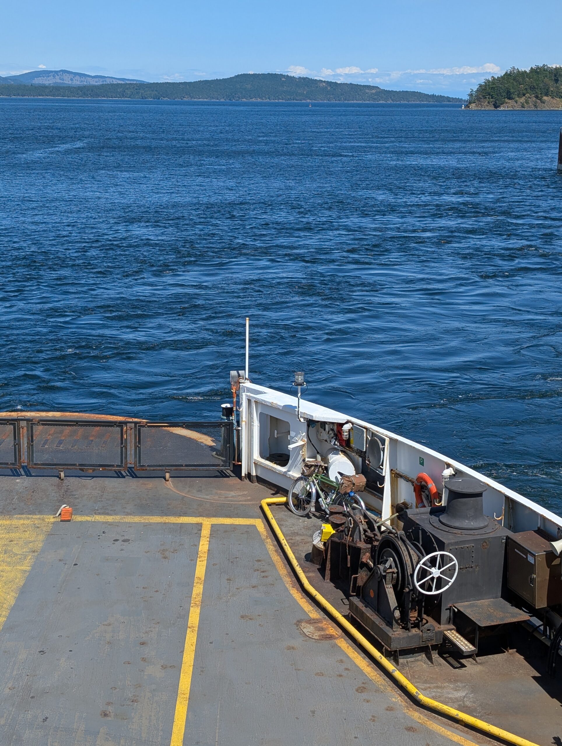
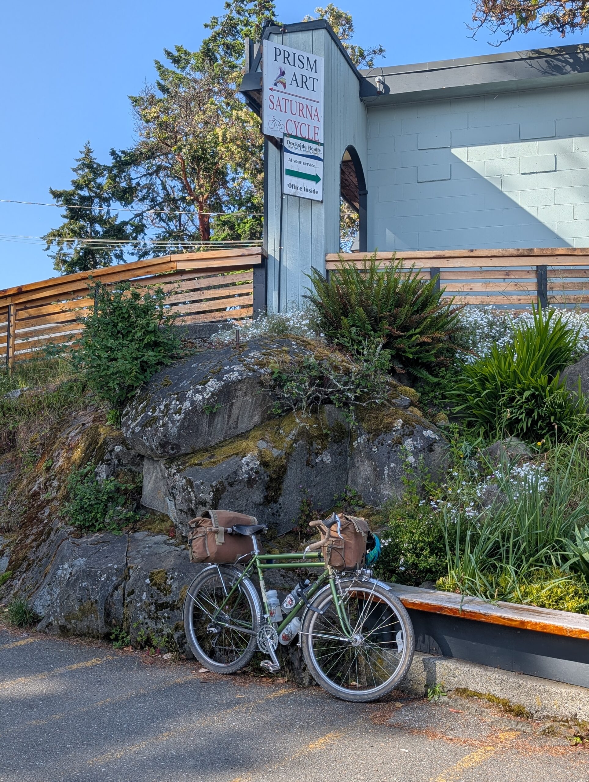
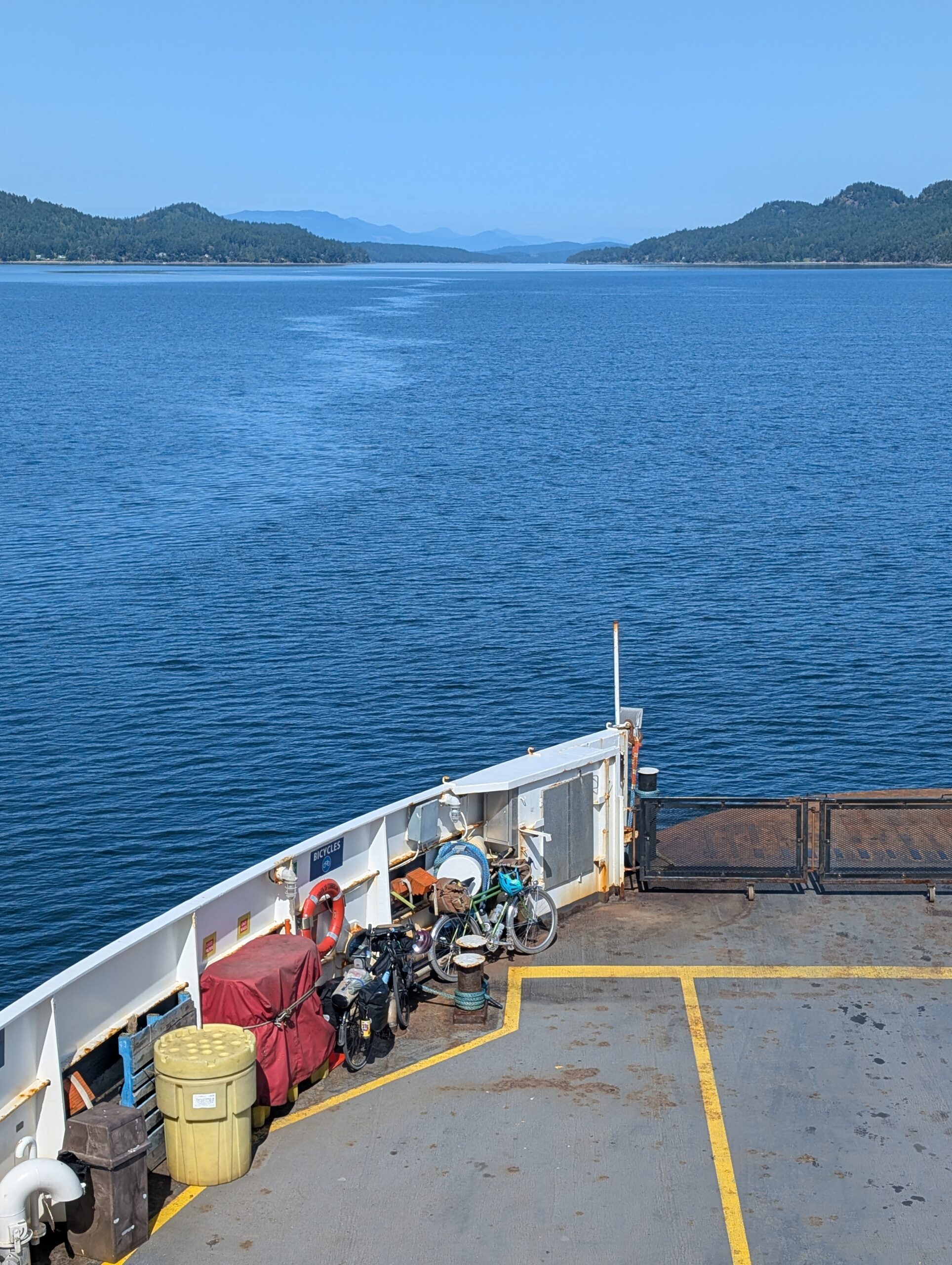
I knew that Saturna was several friends’ favourite island, so I was eager to see why. Knowing it was particularly untouched, I decided to go on a weekday for an even quieter experience. I headed off towards the Tsawwassen ferry at 8am on Thursday; a 50km ride out of the city and along farm roads. I grabbed a burger on the ferry to fuel the rest of my journey.
My friend LA was joining on Friday, giving me an evening to myself followed by the better part of a day of exploring together. Well, a big chunk of Thursday was spent waiting: I arrived at the Tsawwassen ferry terminal at 11am, and I didn’t land on Saturna until 4:35pm. So, five and a half hours of either waiting for the ferry or travelling on the ferry. But it was well worth it!
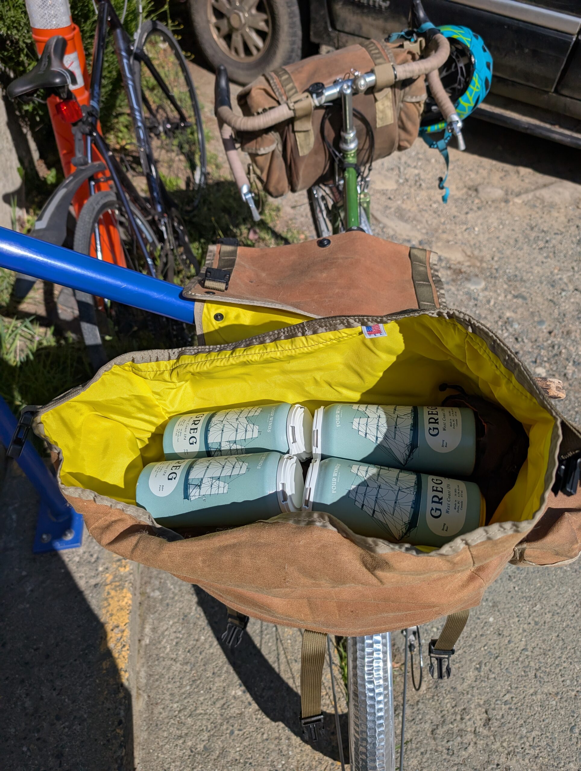
The lone general store closed at 5pm and was located up a steep hill from the ferry, so getting there quickly was my top priority once on the island. All I bought was a four-pack of IPA; that’s all I needed.
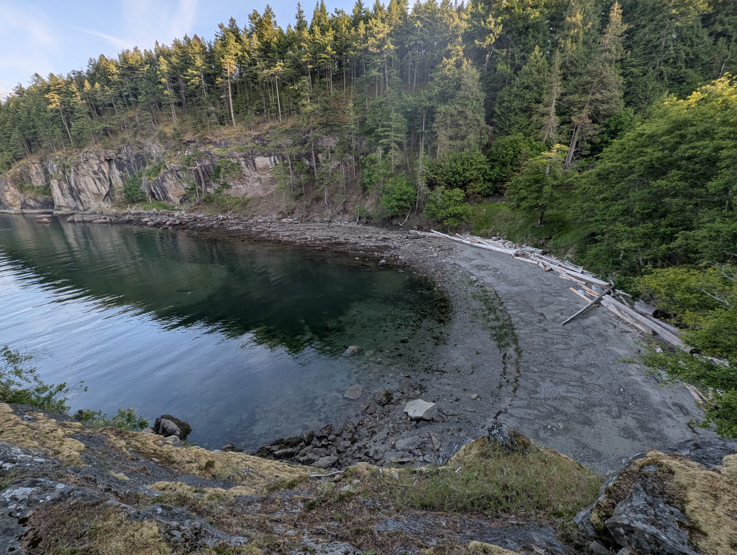
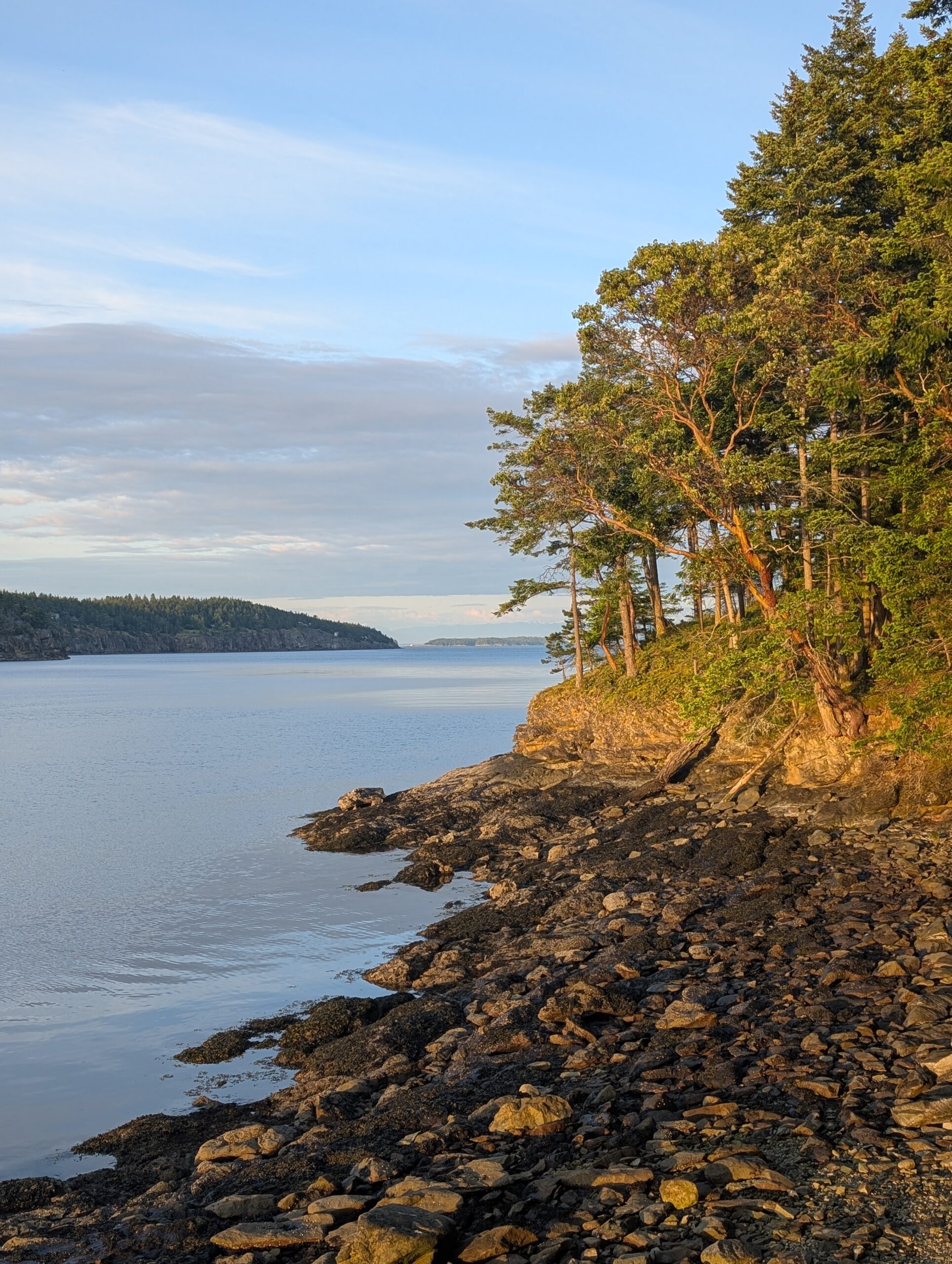
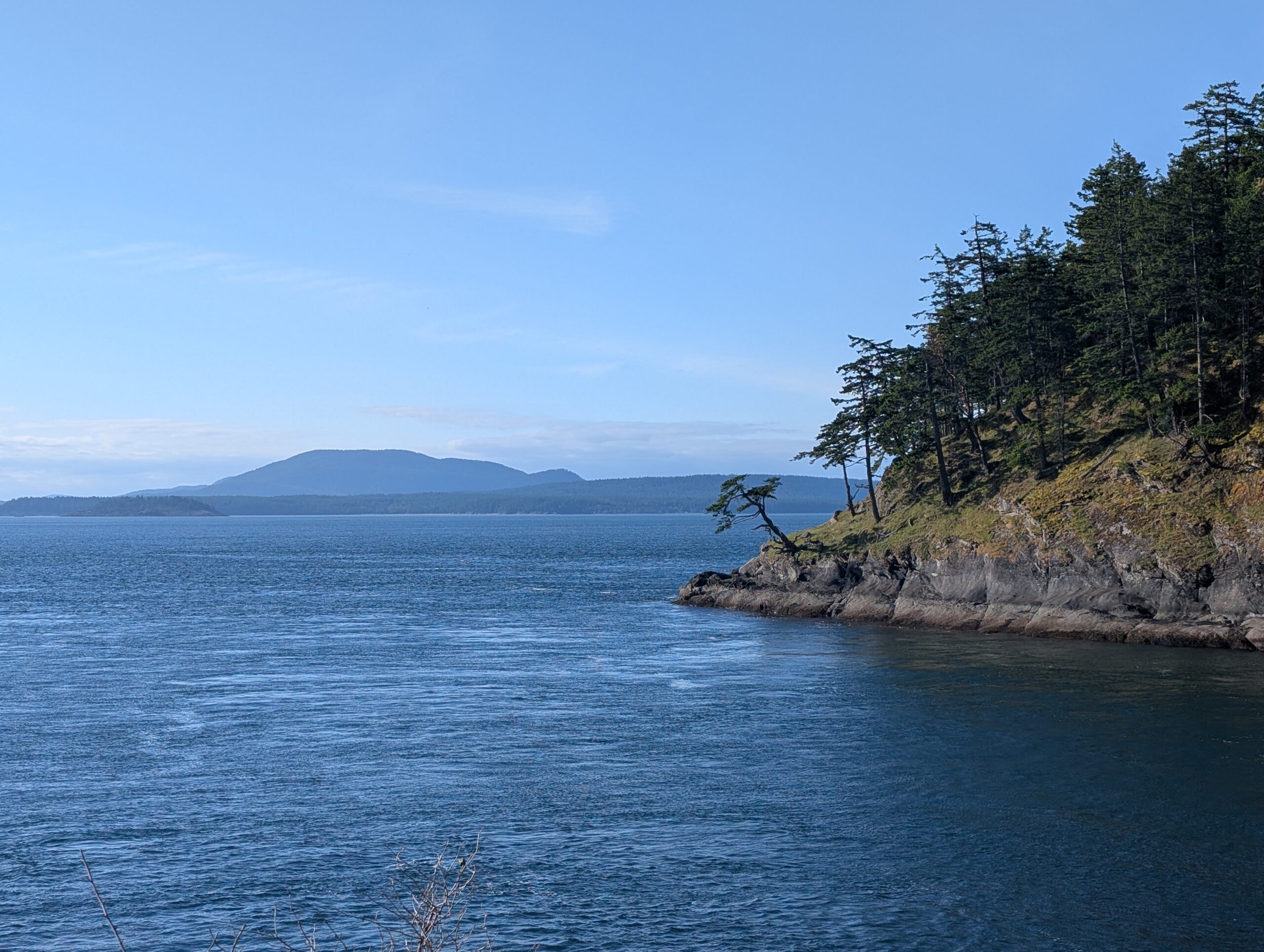
Other than the campground, which is very small itself, Narvaez Bay Rd only accesses a handful of rural properties. As such, it is a wonderfully quiet road, and I only saw a single car over the course of 45 minutes. It’s pothole-filled and minimally paved, but keeping the speed down is necessary due to the abundance of deer who love to jump out of the woods at the most inopportune times. The final stretch towards the campsite is on a dirt path with no vehicle access, bench cut into a very steep slope down to the bay.

Arriving at my campsite, I was pleased with its position in the small campground: well spaced from other sites, with a nice view of the small north bay. Shaded as well! The only other site that wasn’t too far from mine was booked by LA. For the record, this is campsite 4. There are only 7 in total, but an overflow area is provided for those who don’t have a reservation.
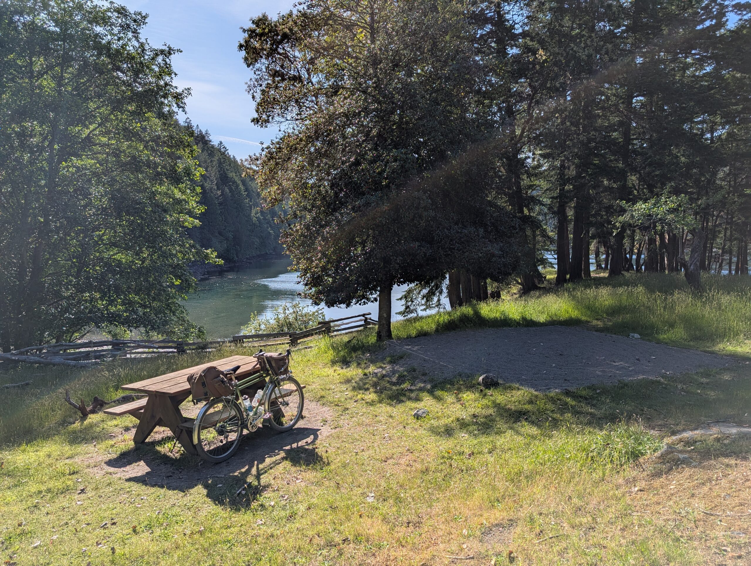
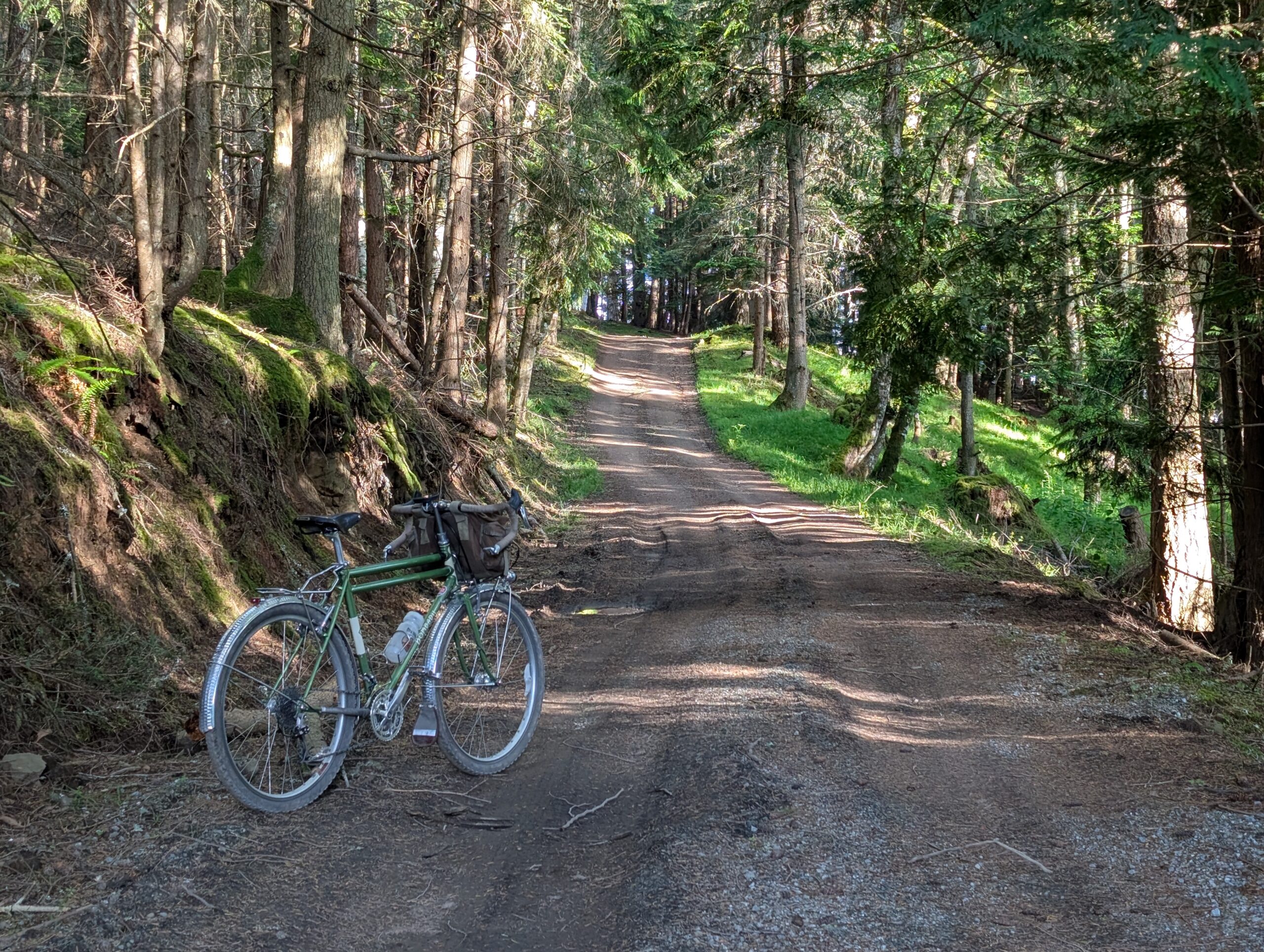
I did a quick walk around the campsite after pitching the tent while I had some “dinner” (just a variety of snacks). It was around 6pm at this point, but I wanted to ride up to the southern ridge before dark; only about 5km away but almost 250m in elevation.
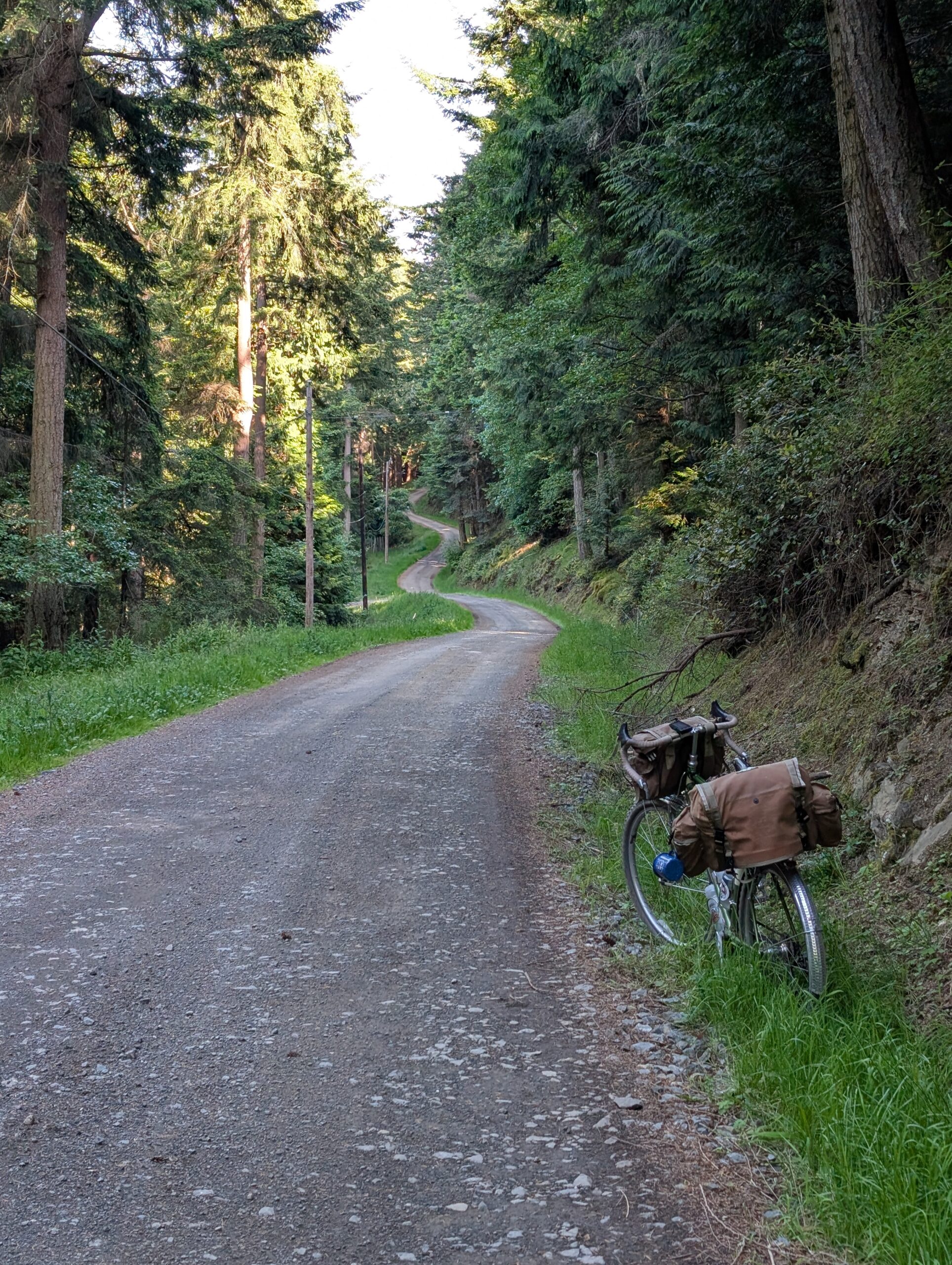
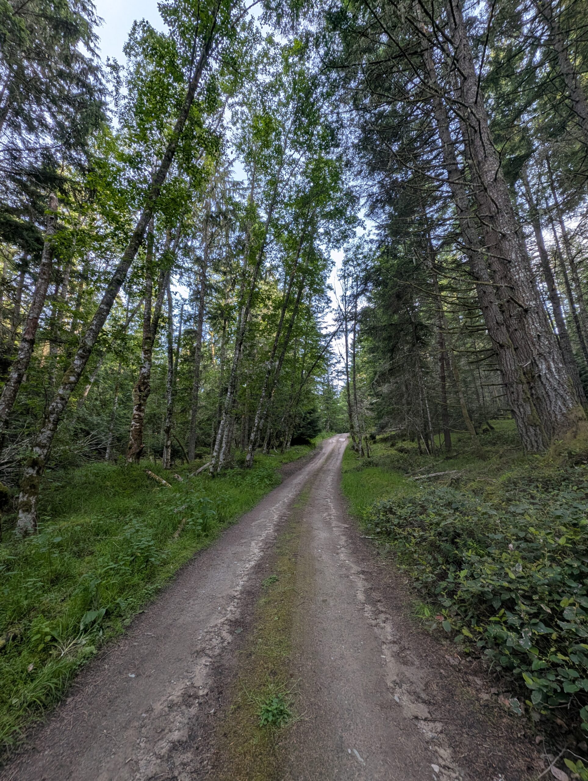
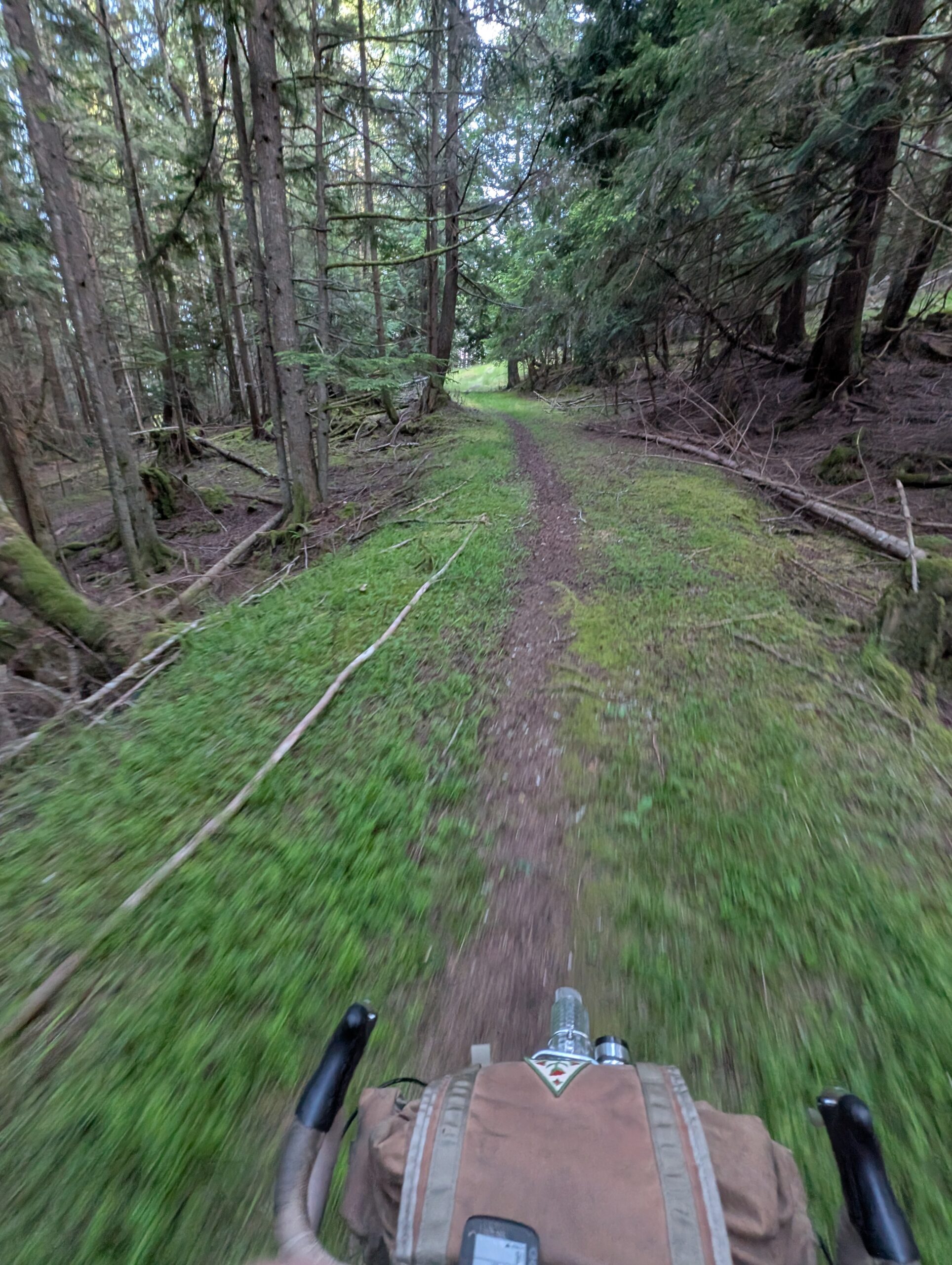
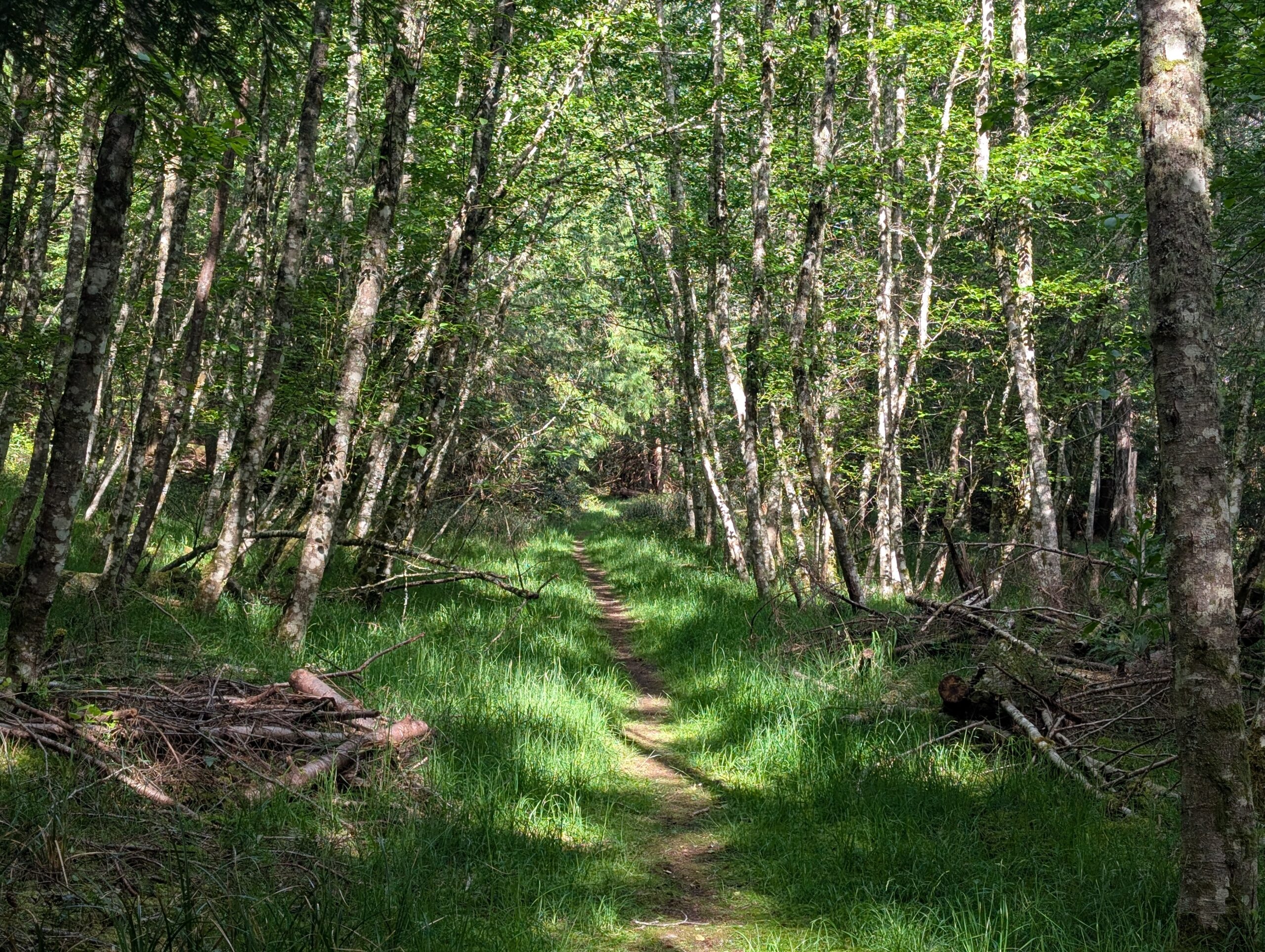
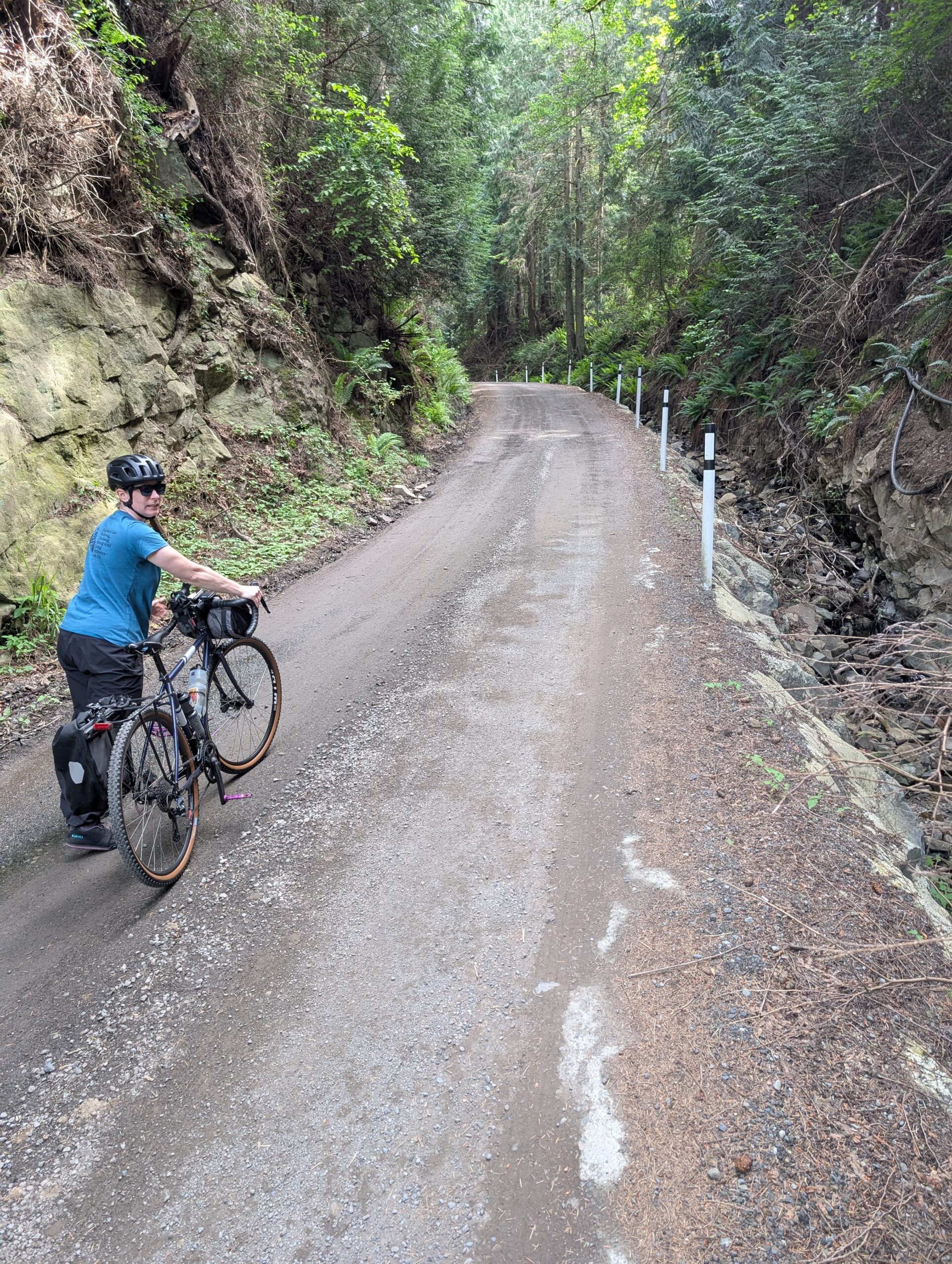
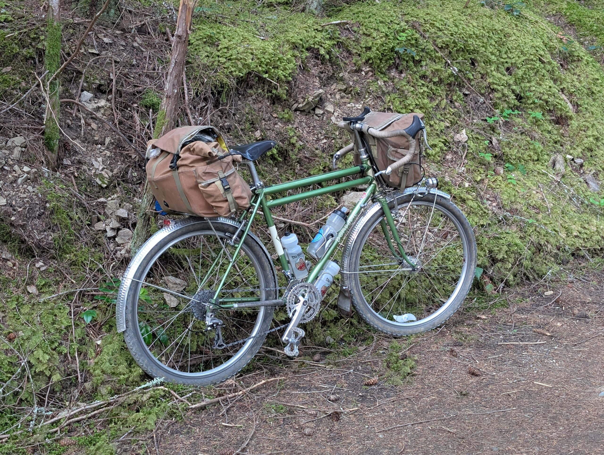
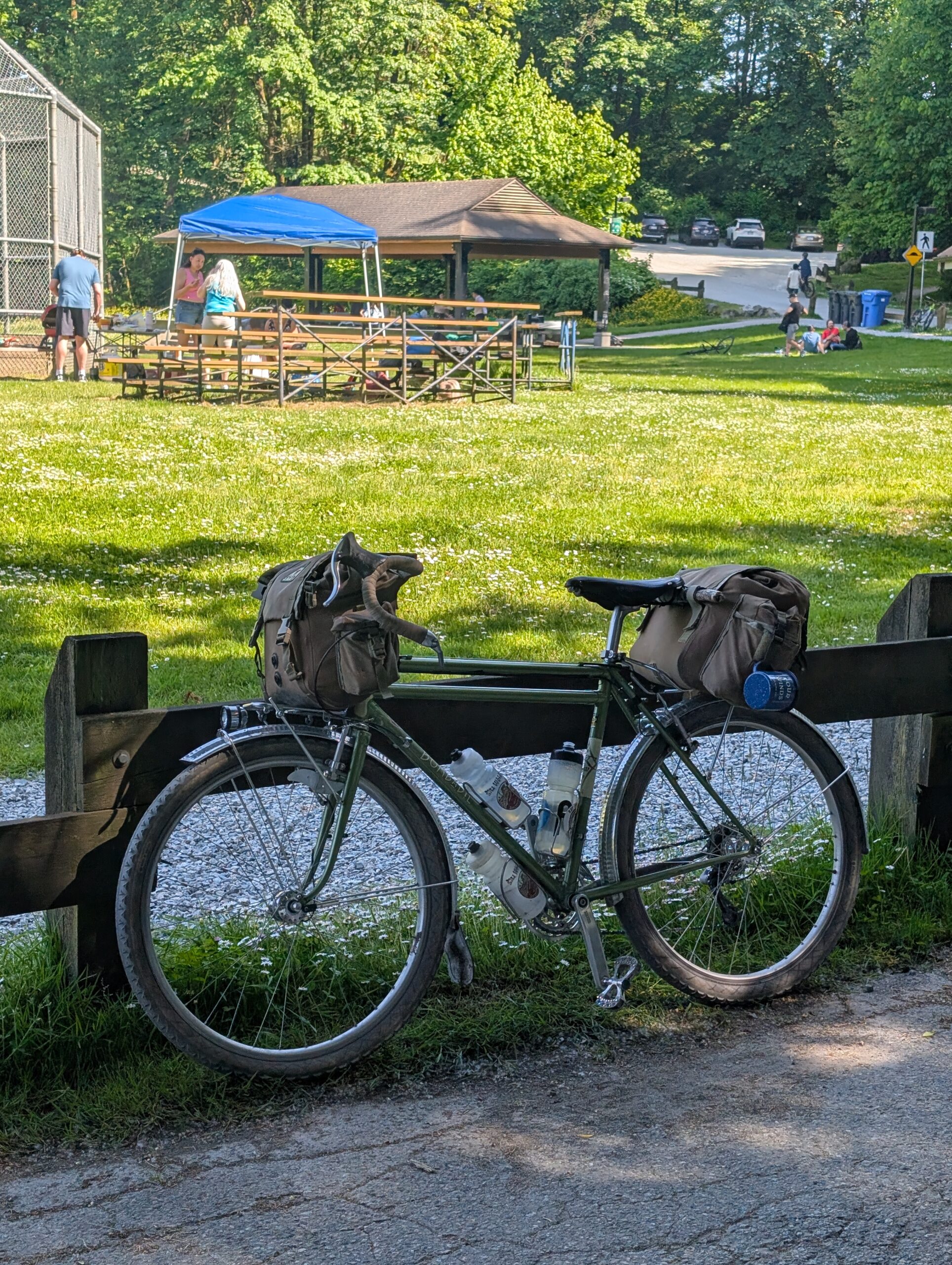
The road towards the ridge was dirt double track that ascended rather rudely from the main road before levelling off into a really pleasant ride.
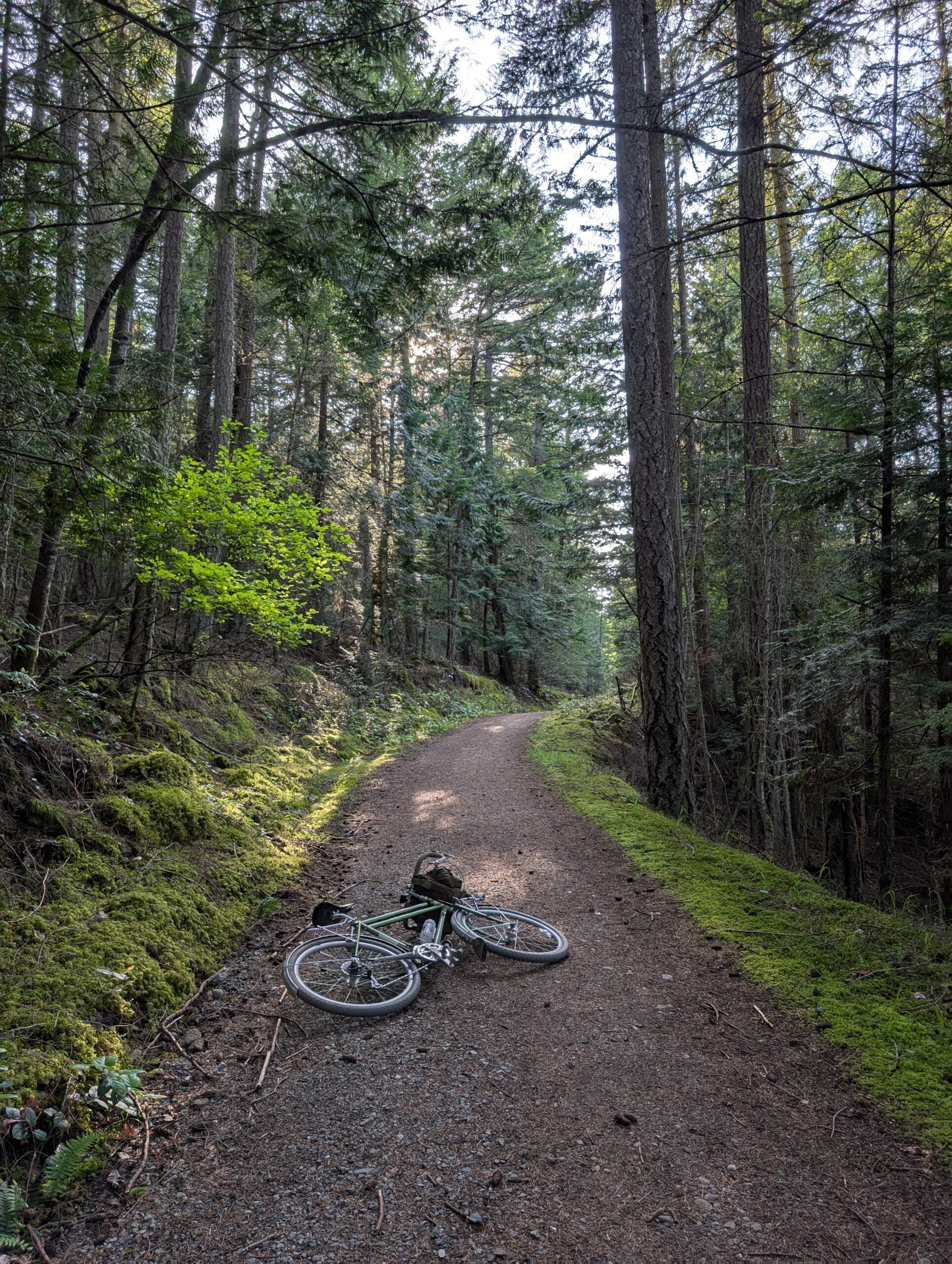
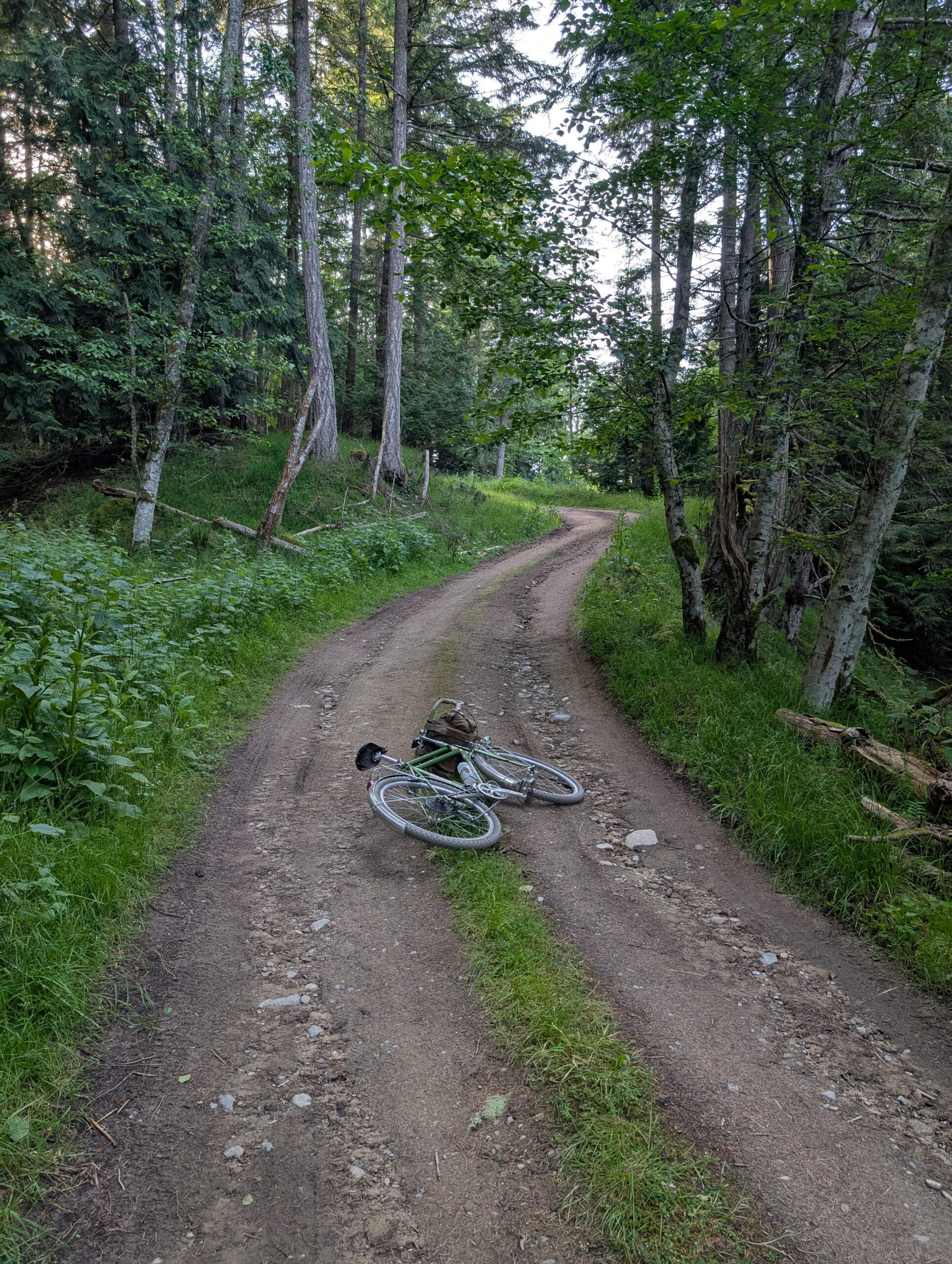
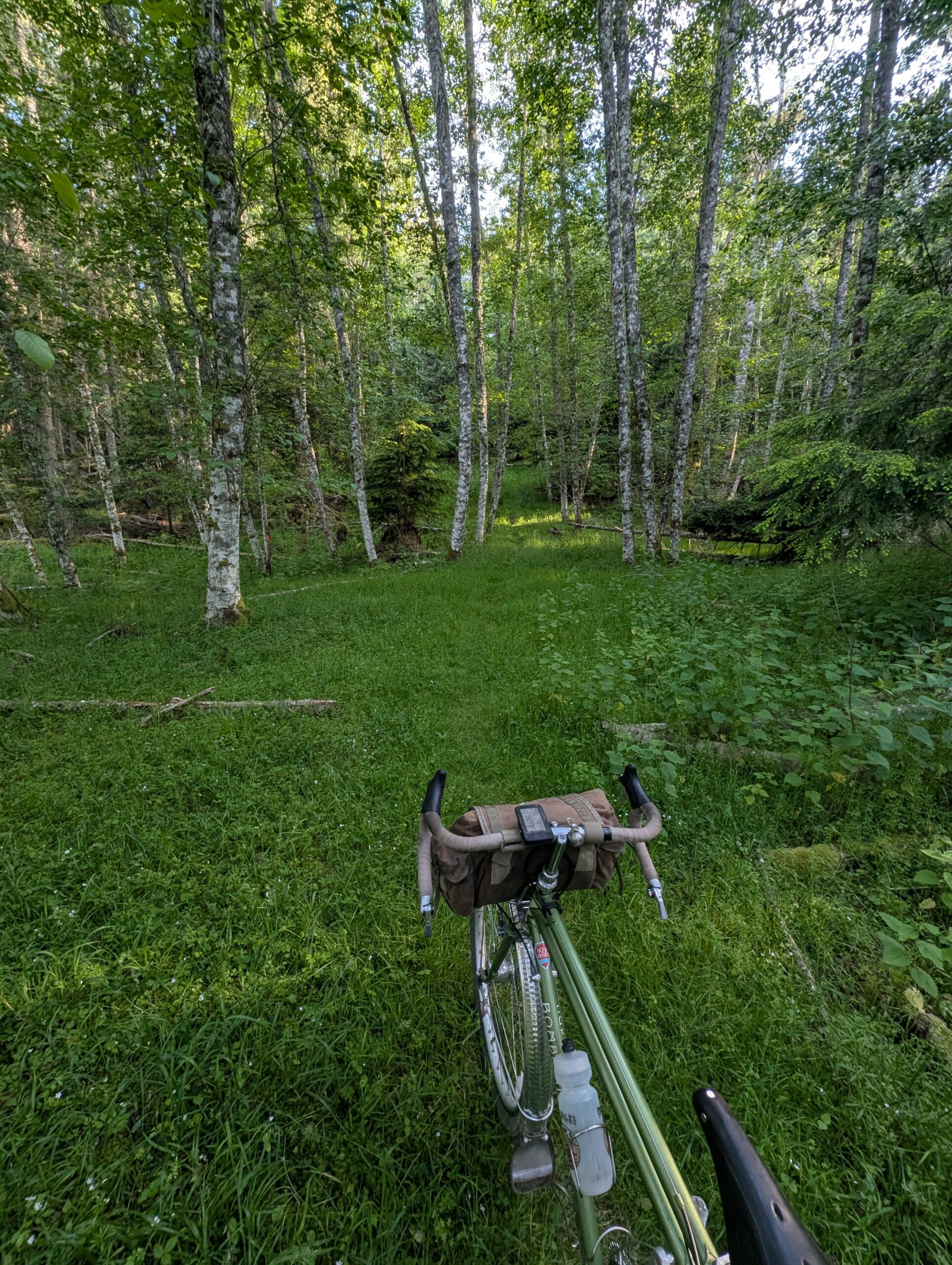
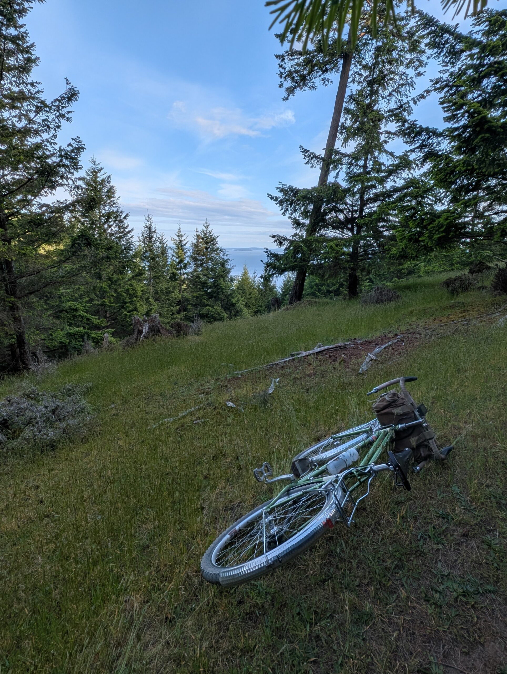
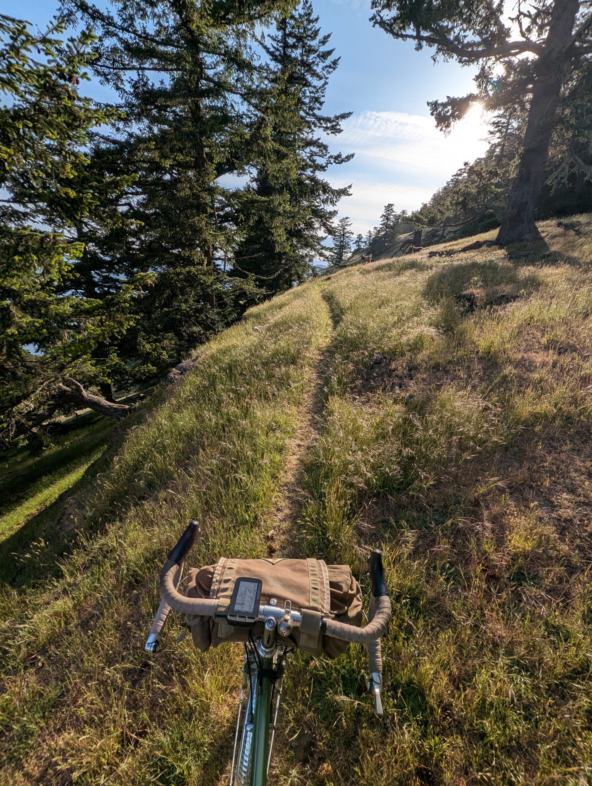
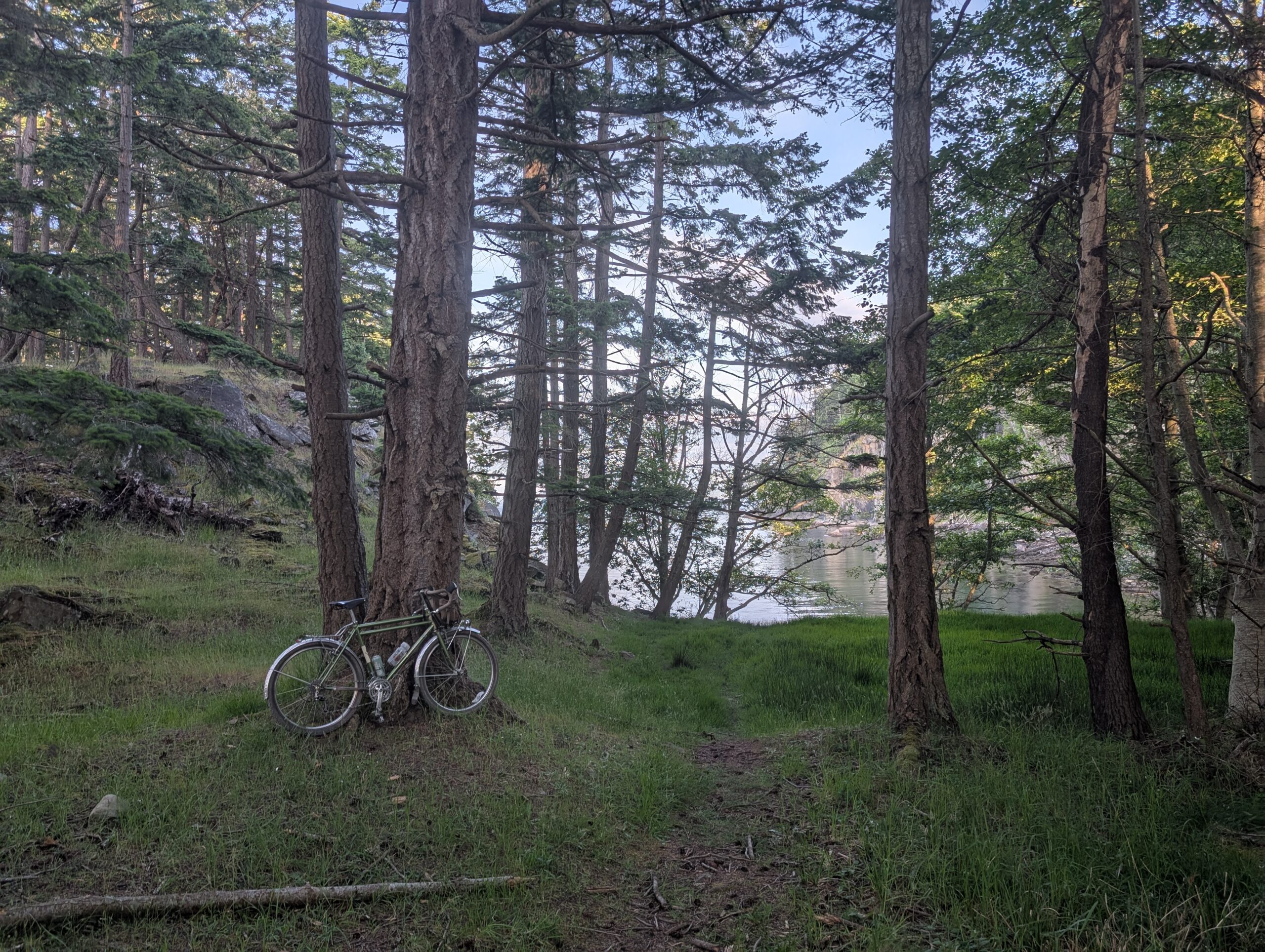
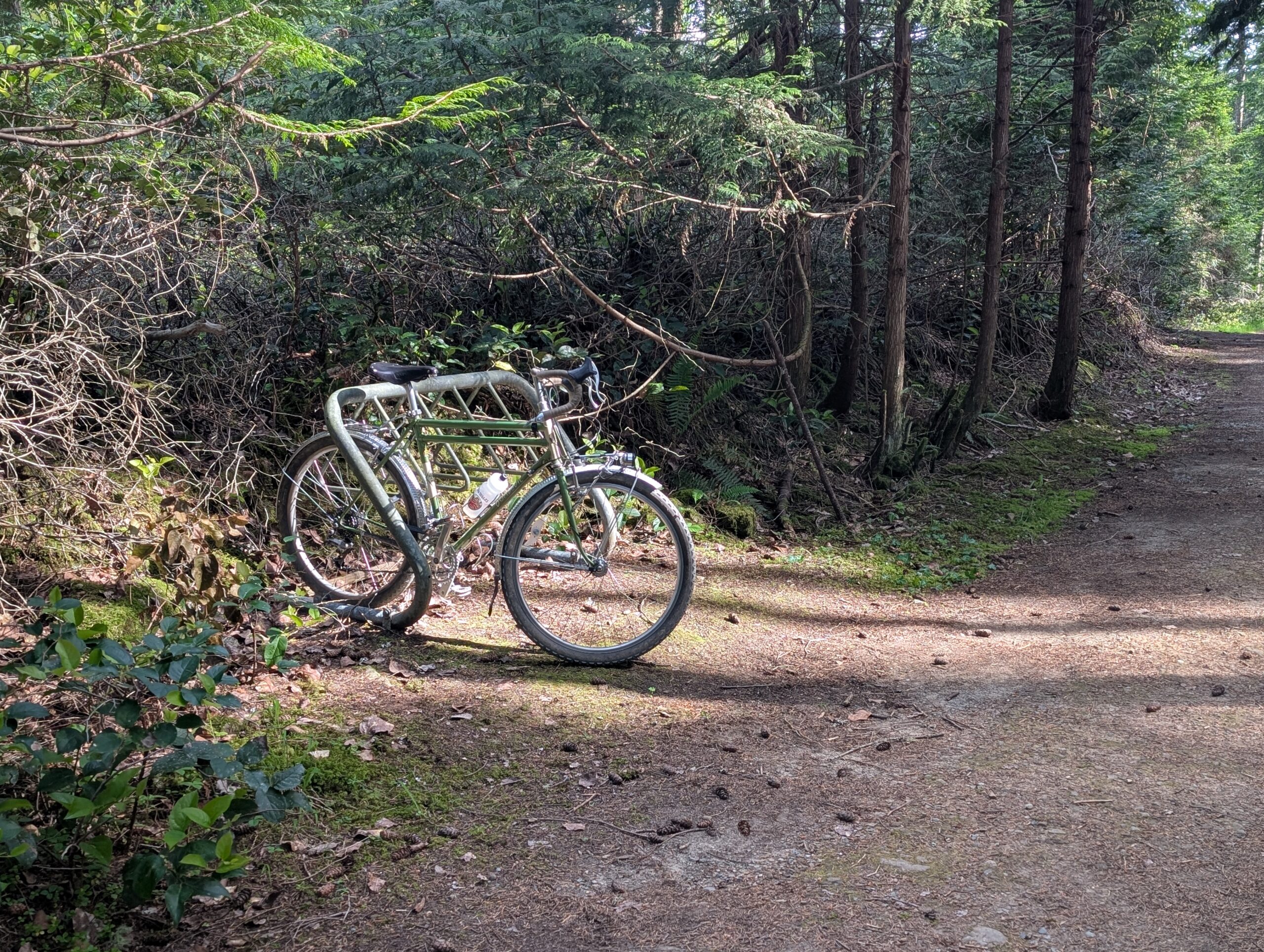
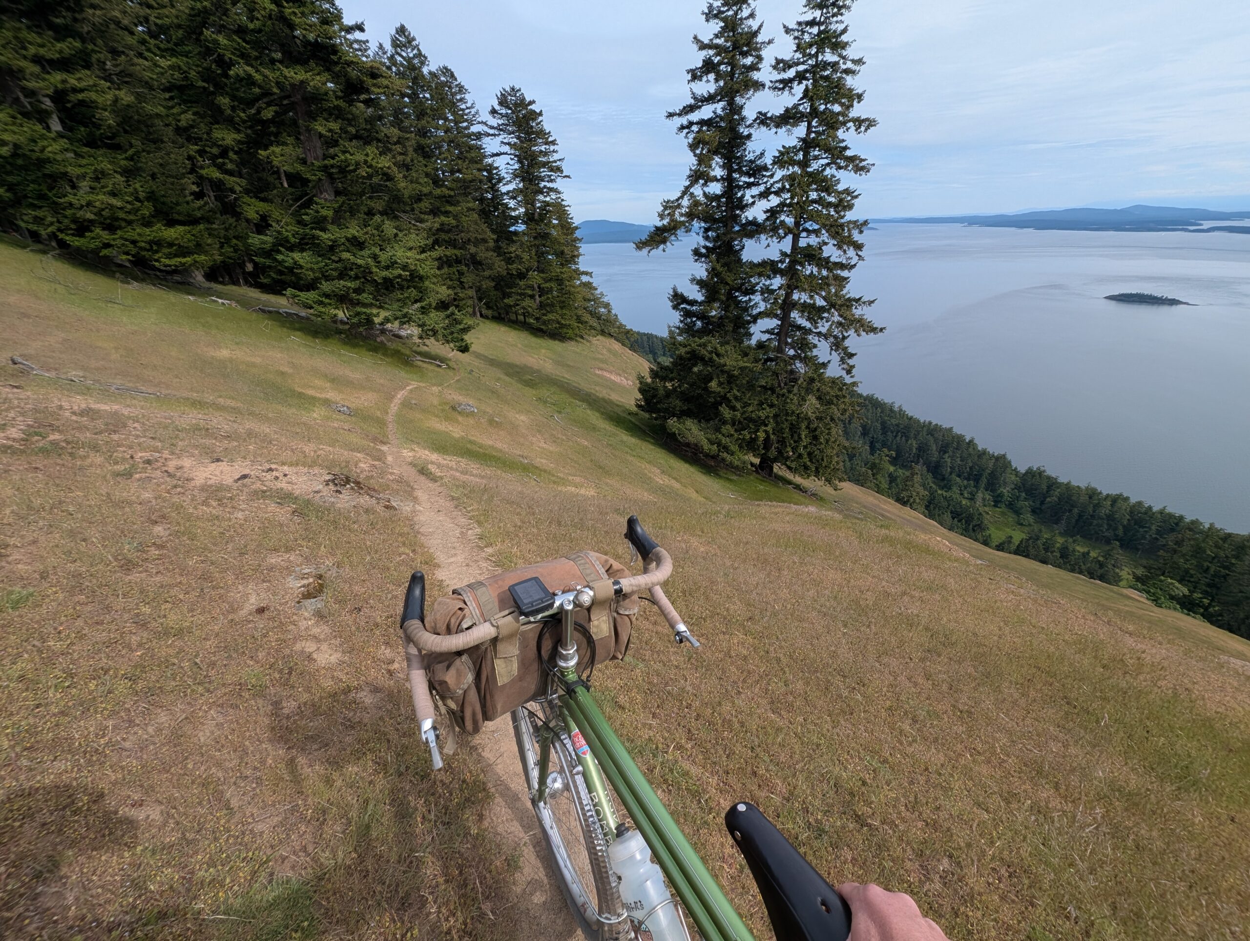
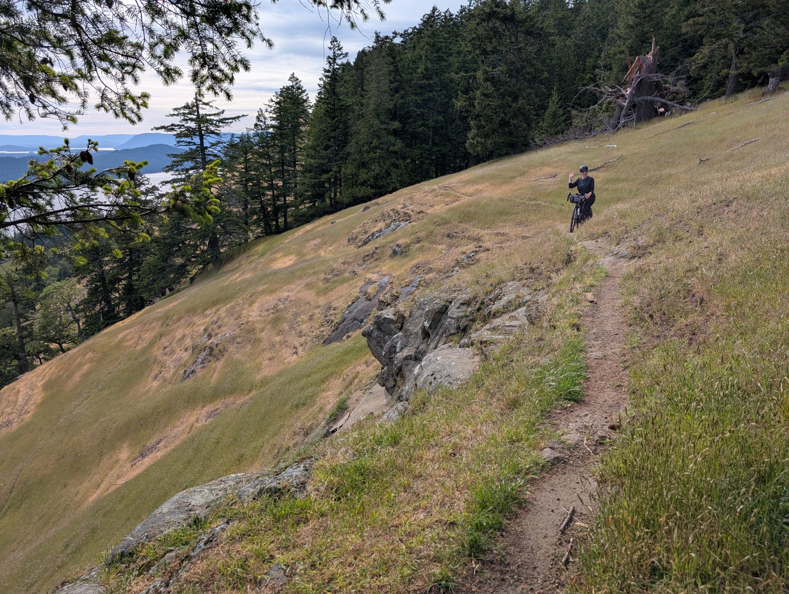
I took the photo of my bike, below, and checked the map to see how much further it was. What I found was that I was totally off-course – I was supposed to be on the other side of a very deep ravine to my right. I was surprised, as I had not seen any sort of trail off this road.
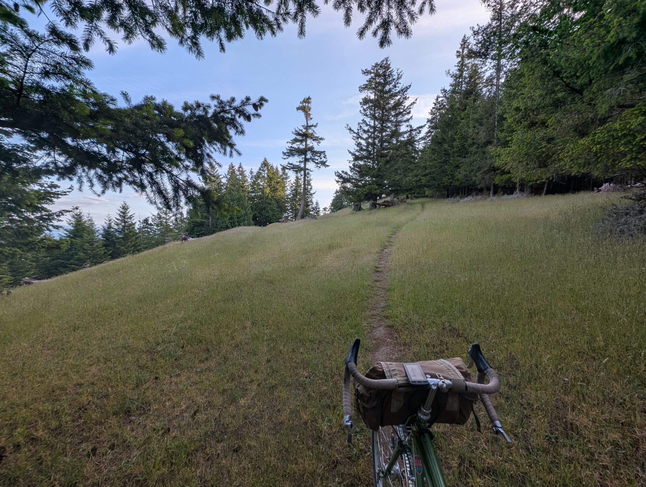
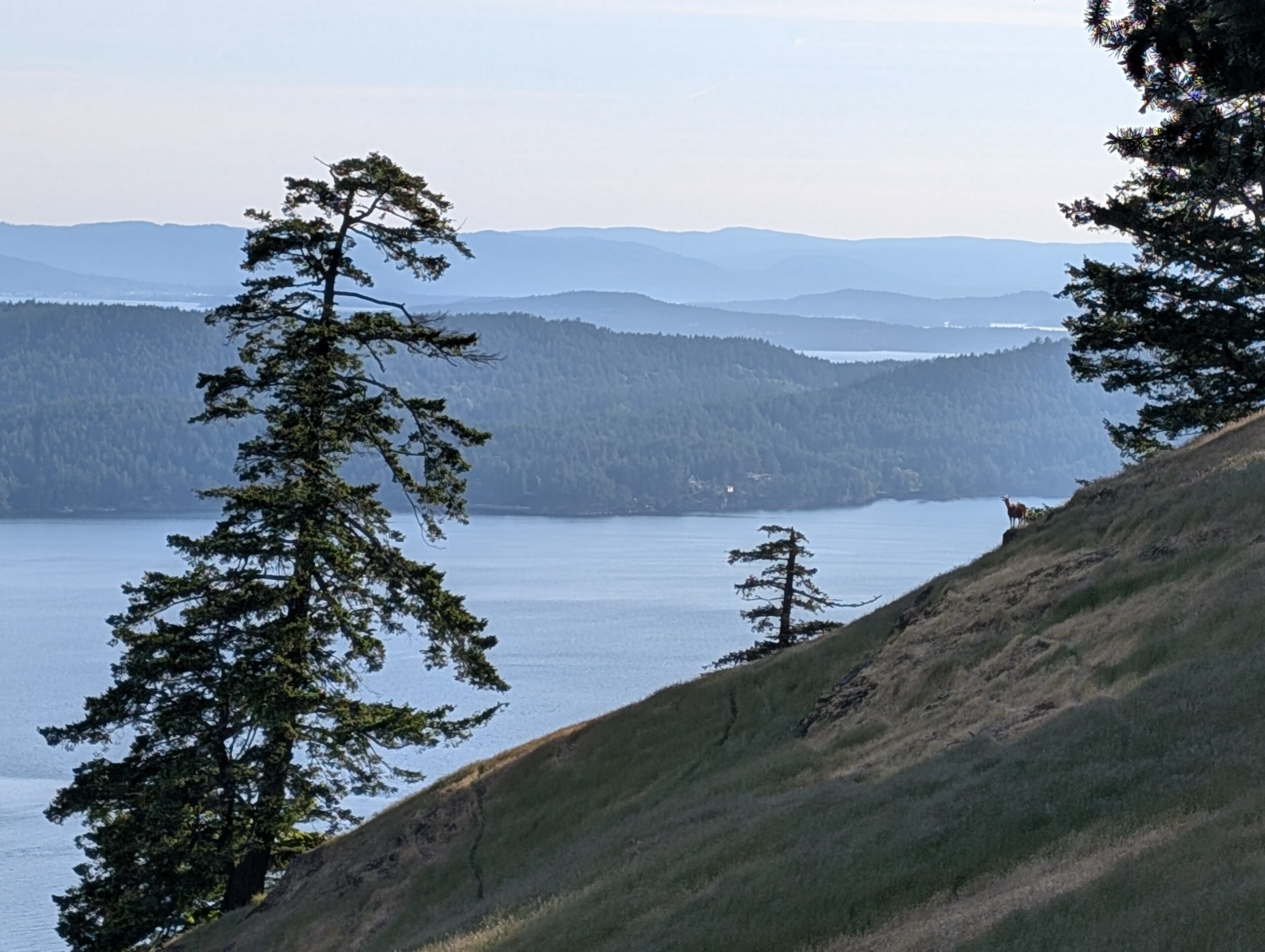
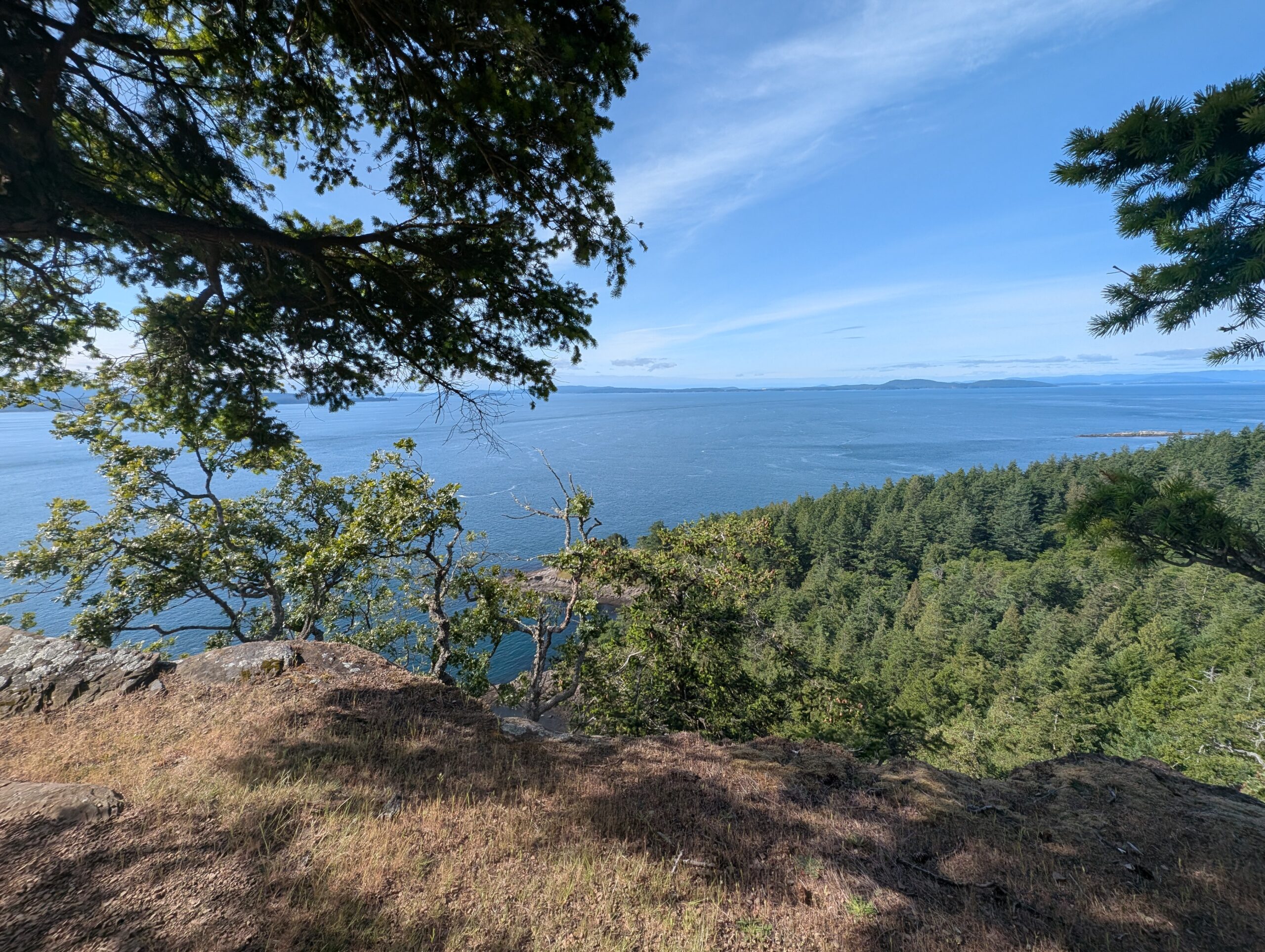
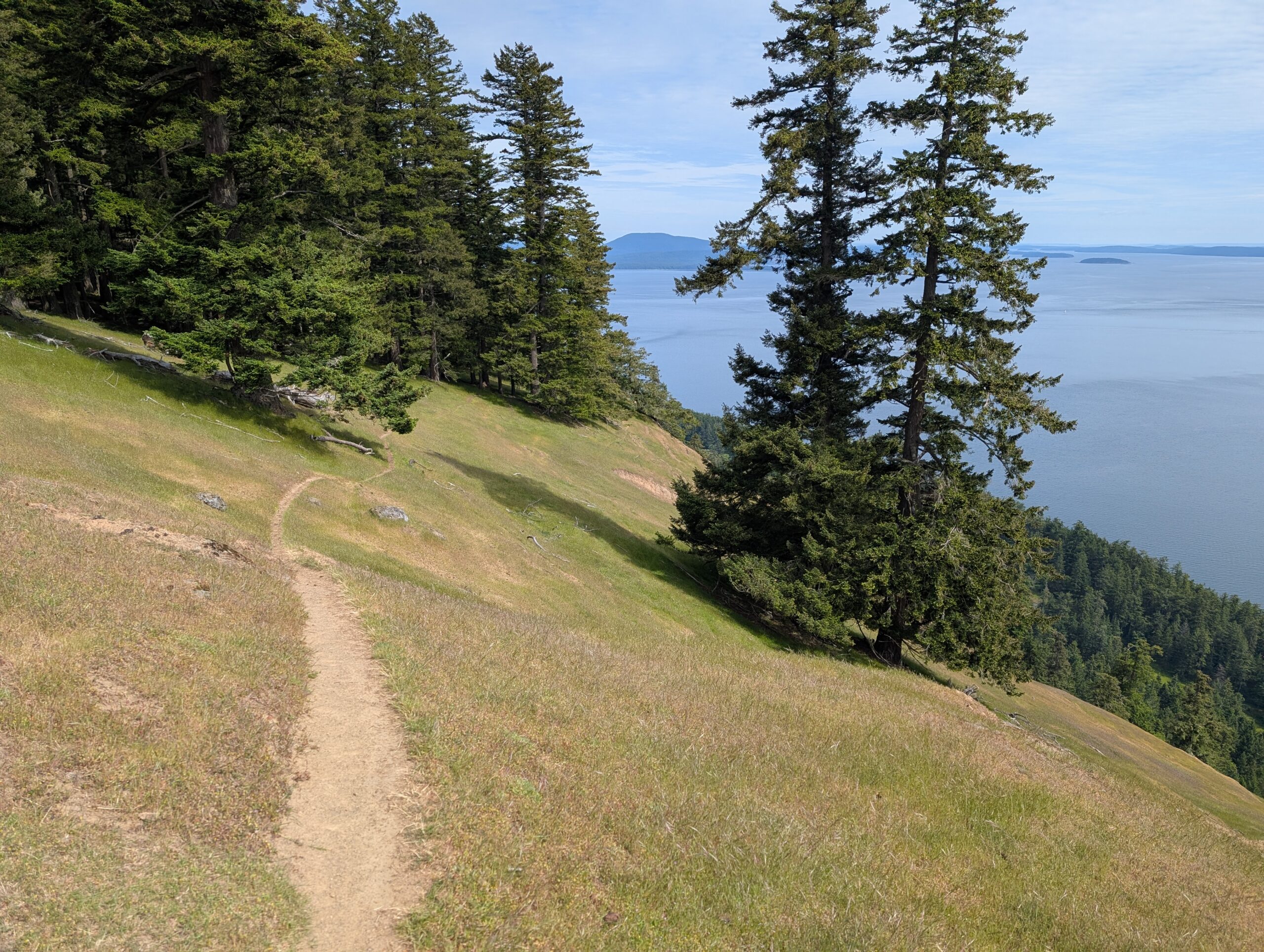
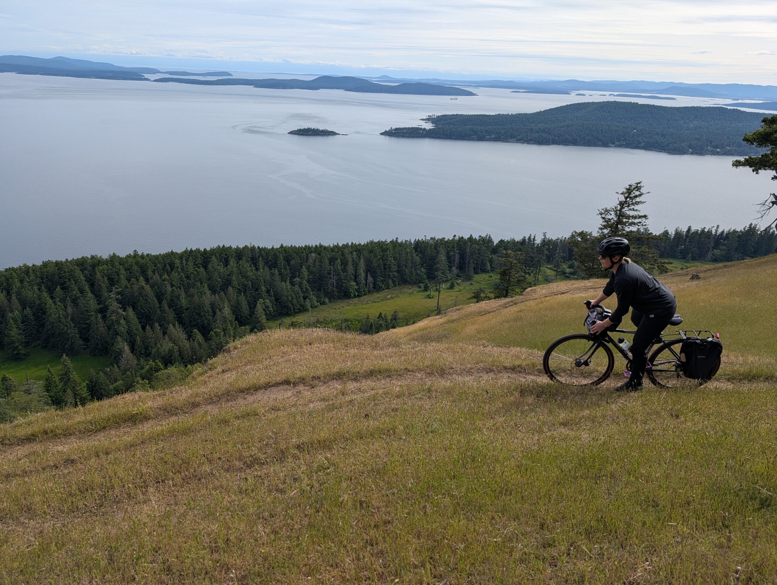
Backtracking and keeping a close eye on Trailforks for where the trail branched off, I realized why I hadn’t seen it: there was hardly a trace of a trail, just a grassy meadow. After a bit, it did develop into a more distinct trail, and shortly after that the ocean views started to open up as I reached the ridge.
The climbing continued, as the trees became more sparse and the view continued to improve.
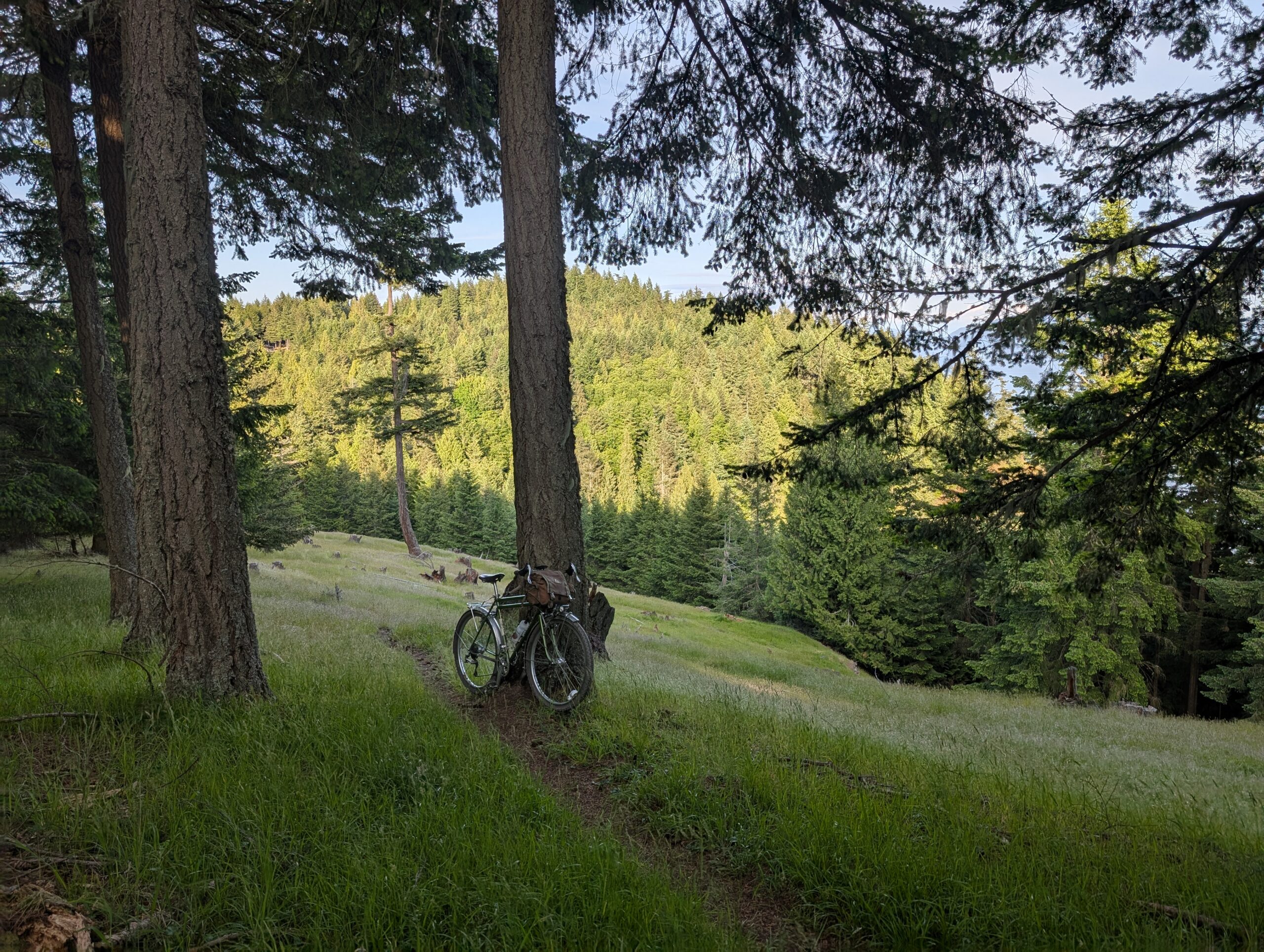
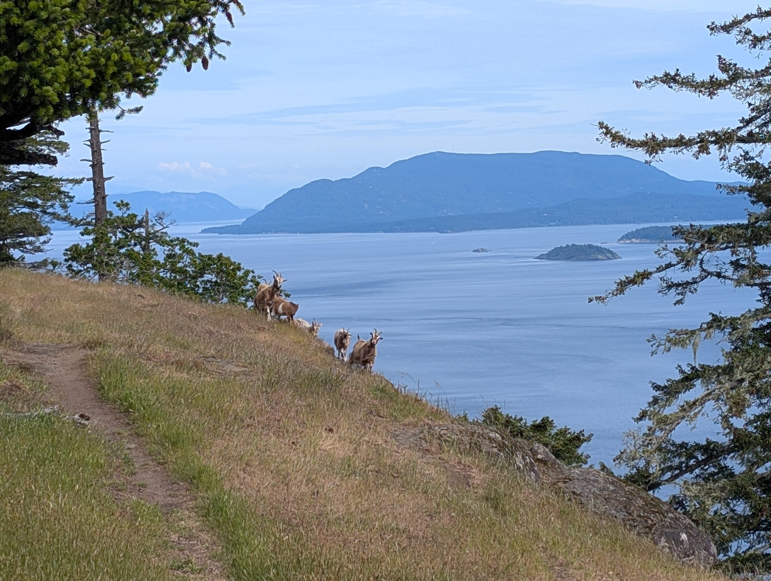
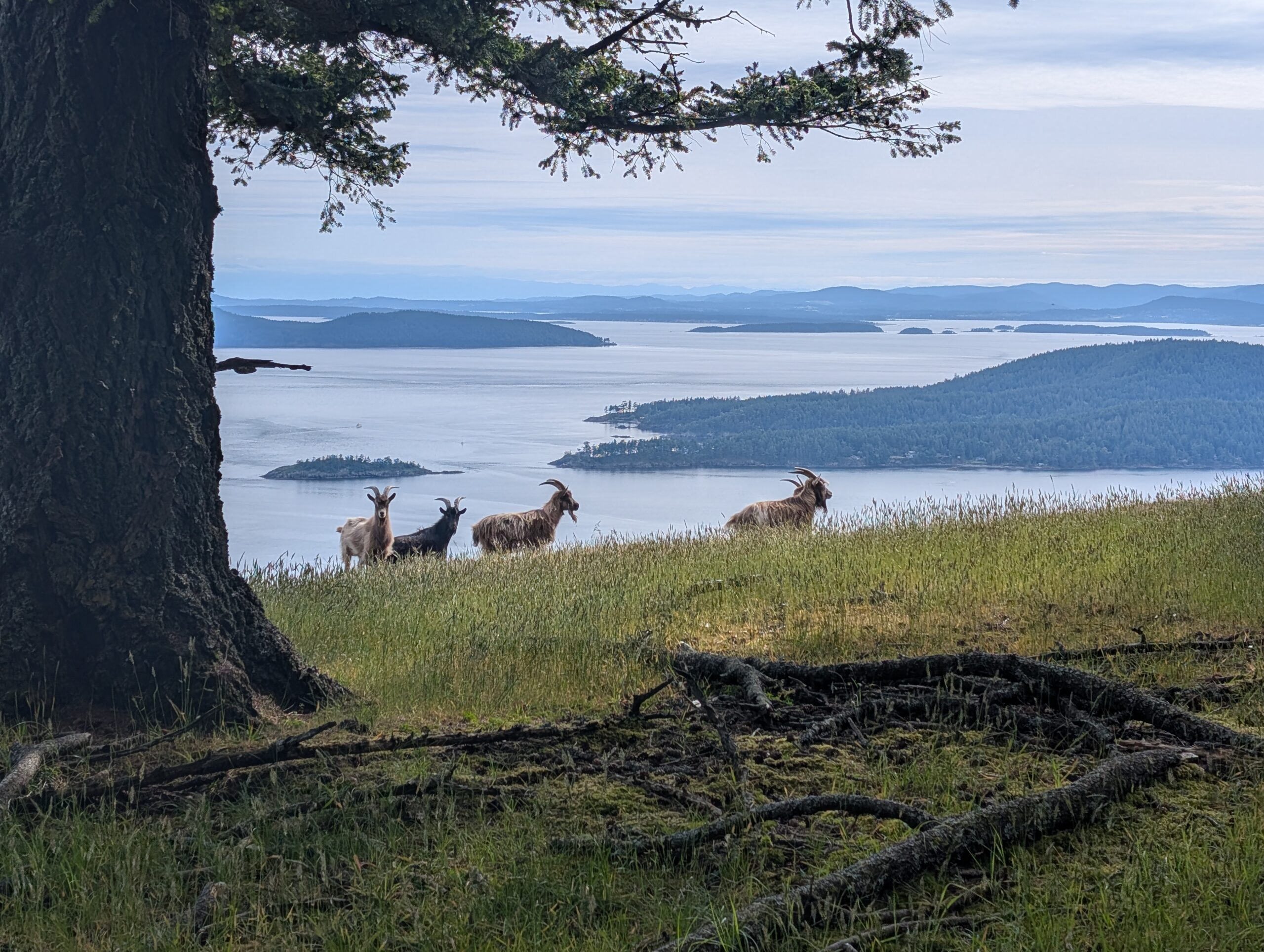
A short while later I was surprised by a small herd of goats, the goats also surprised by me. The adult males were being protective of their young, sending snorts and little foot stomps my way, so I made sure to give lots of space and spoke nicely to them. I stayed back, thinking this might be my turnaround point, but they shuffled off and allowed me to continue.
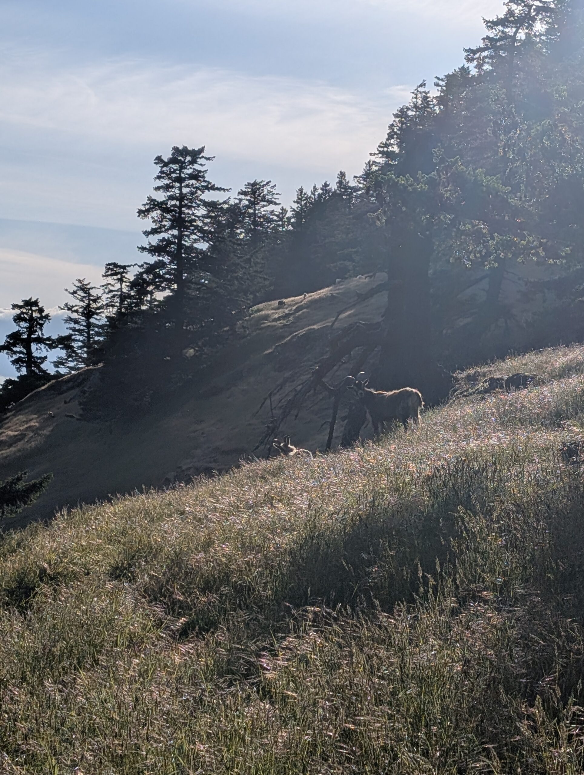
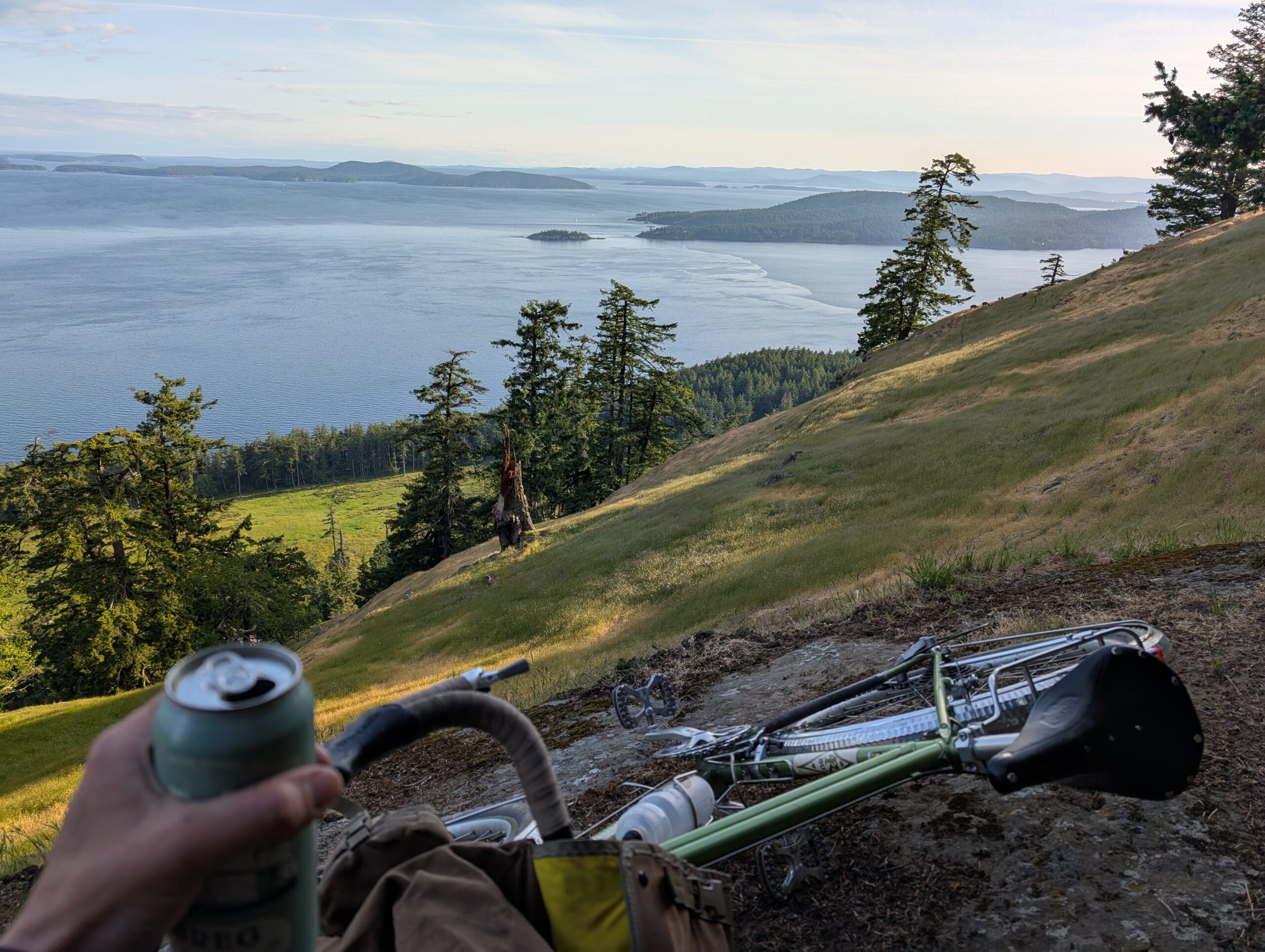
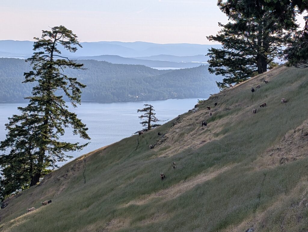
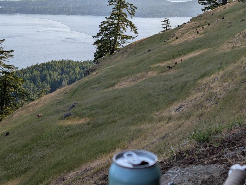
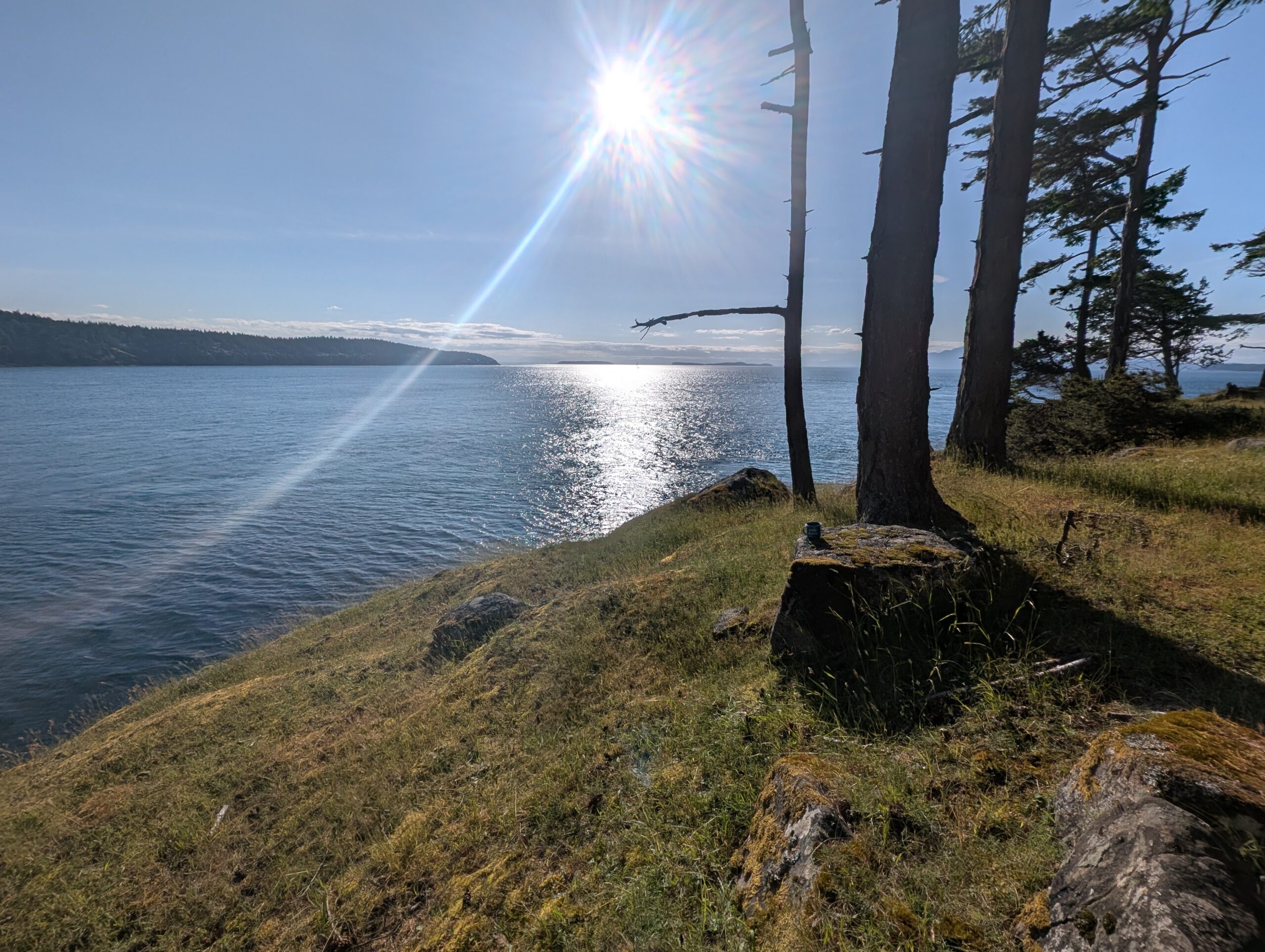
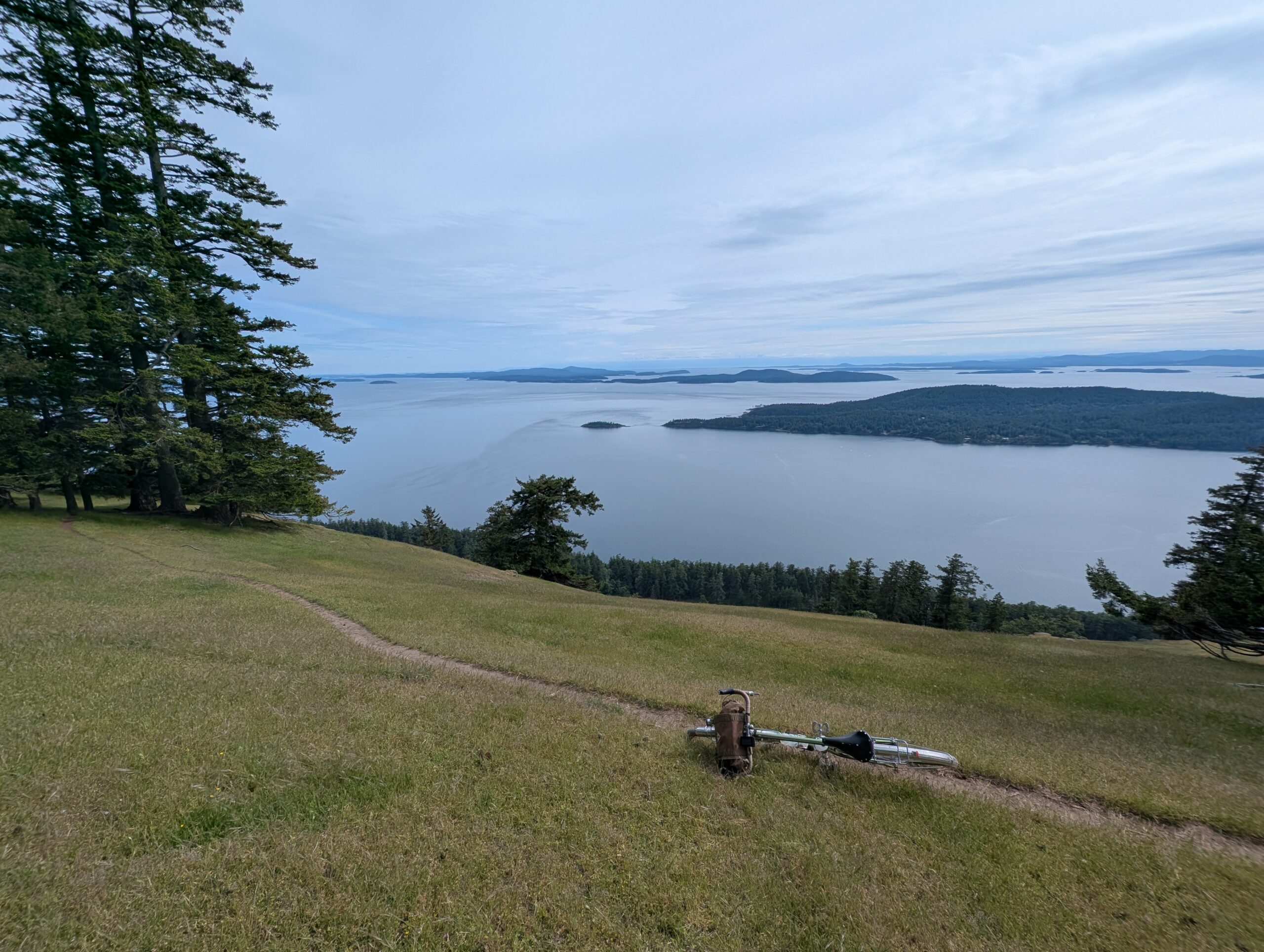
I made my way slowly behind them, hoping to find a sufficiently open view of the ocean to sit and have my beer. I settled in the spot below, with a dozen or so goats on the ridge in the distance. One stayed back and watched me for some time, clearly unimpressed.
I figured my time with the goats was over, but as I drank my beer, they started to slip back over the ridge and head towards me en masse. These are feral goats, and I figured that was my cue to leave.
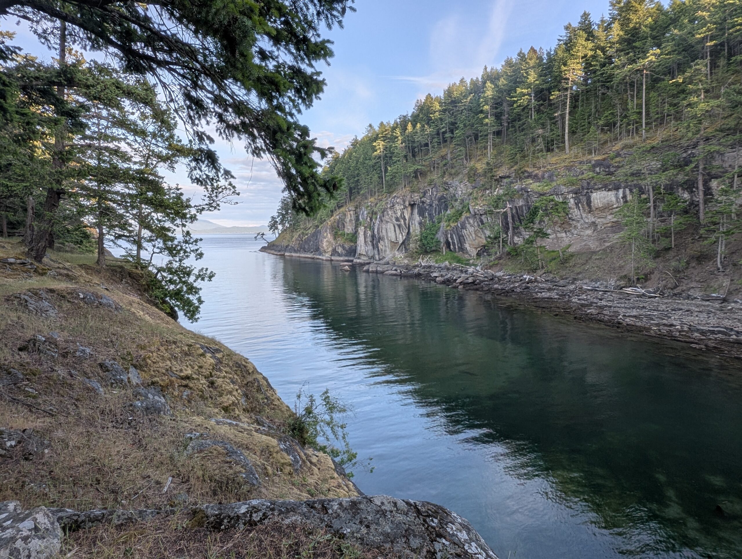
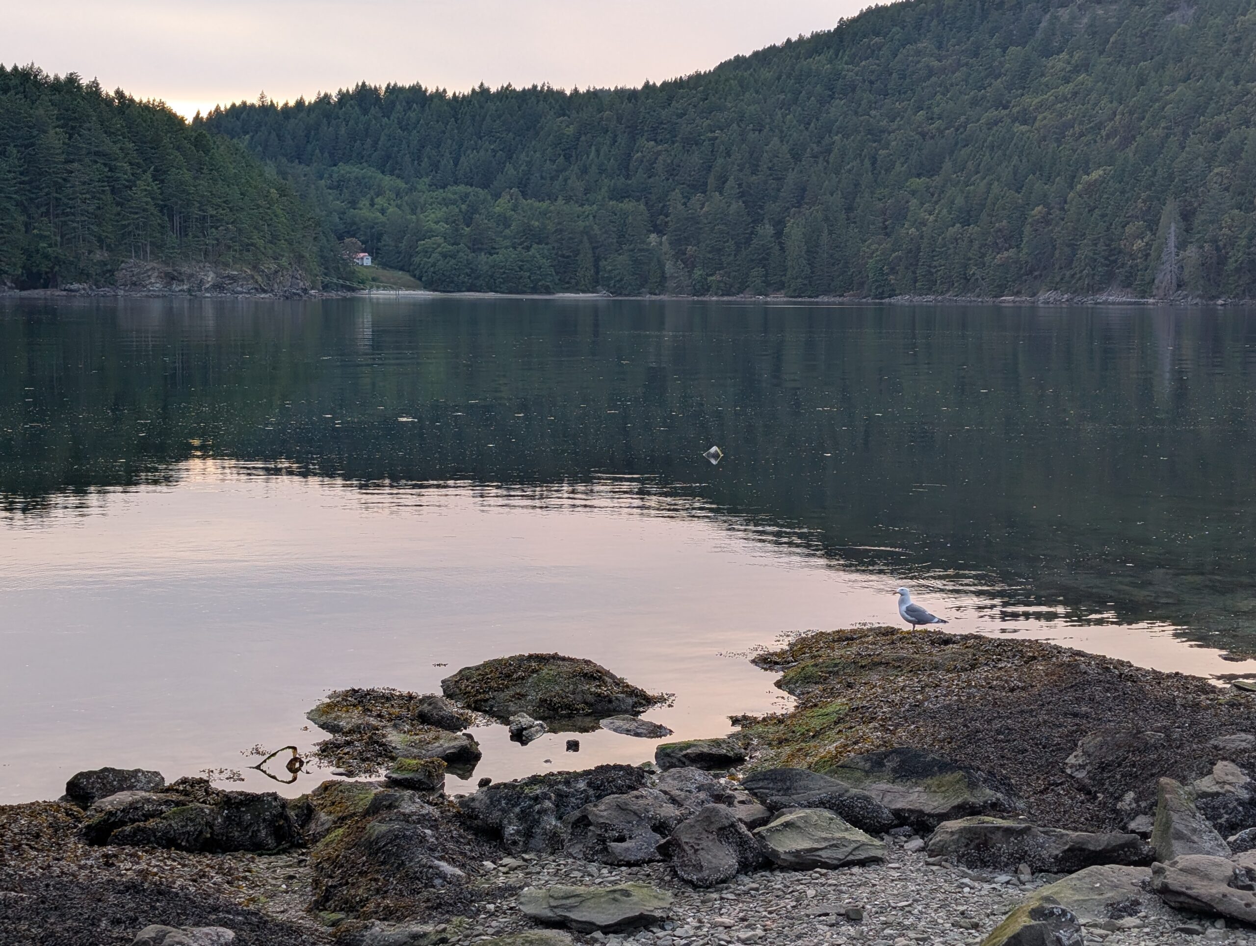
The descent out went by quickly, and soon I was back in the camp area. I checked out the bay on the opposite side of camp, where I watched a pair of otters play for a while from up on the rocky ledge.
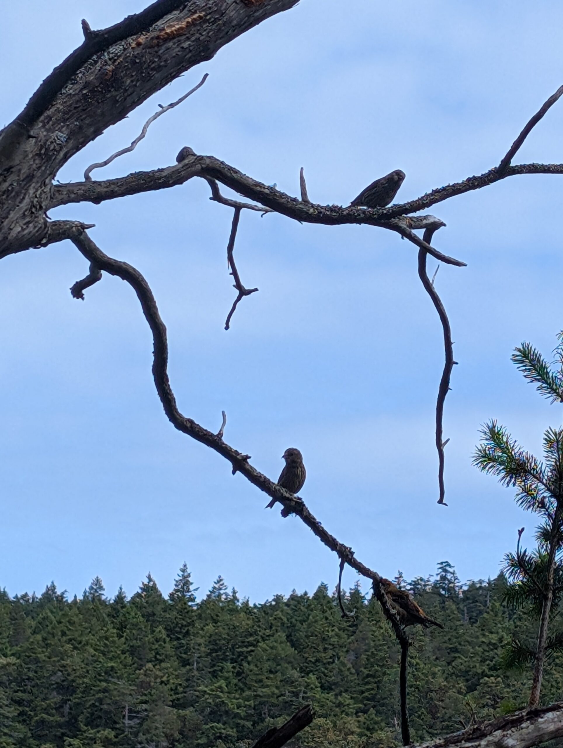
Back at camp, I spent the rest of the daylight hours observing and admiring the nature around me. I hadn’t brought my monoculars but I will next time; while I’m no bird expert there is such a variety here to admire. From hummingbirds to bald eagles, and everything in between. I couldn’t positively identify most of them, but at least five or six different songbirds, as well as a resident raven or two.
I climbed into bed before dark so I could get a head-start on what was bound to be a sub-par night of sleep. Lots of deer activity throughout the night kept me awake at times, but by 7am I felt rested enough to start my day.
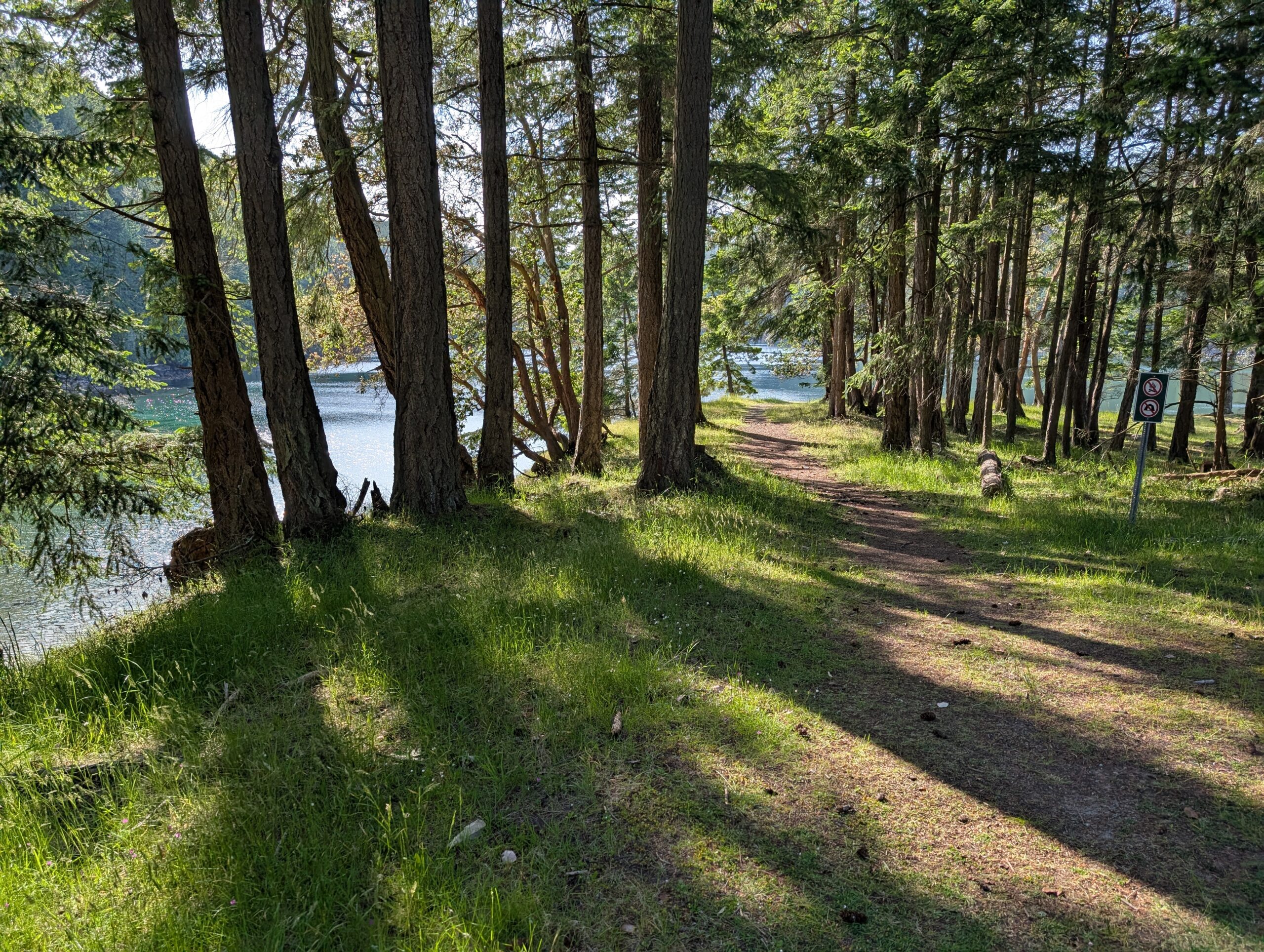
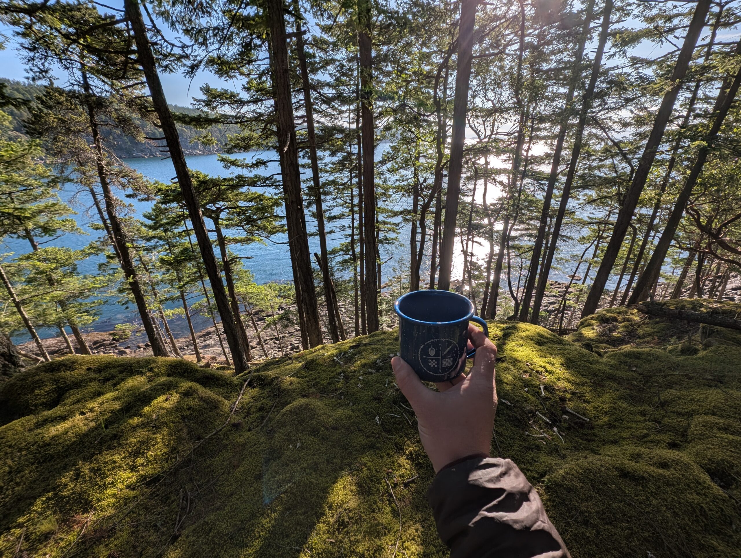
Given the limited capacity of my two-bag setup as well as the lack of water at camp, I chose to leave my cook kit at home and brought only ready-to-eat items. For my morning caffeine, I brought a can of cold brew coffee for each morning. I enjoyed my coffee with a stroll down the small peninsula, exploring the mossy coastal woods.
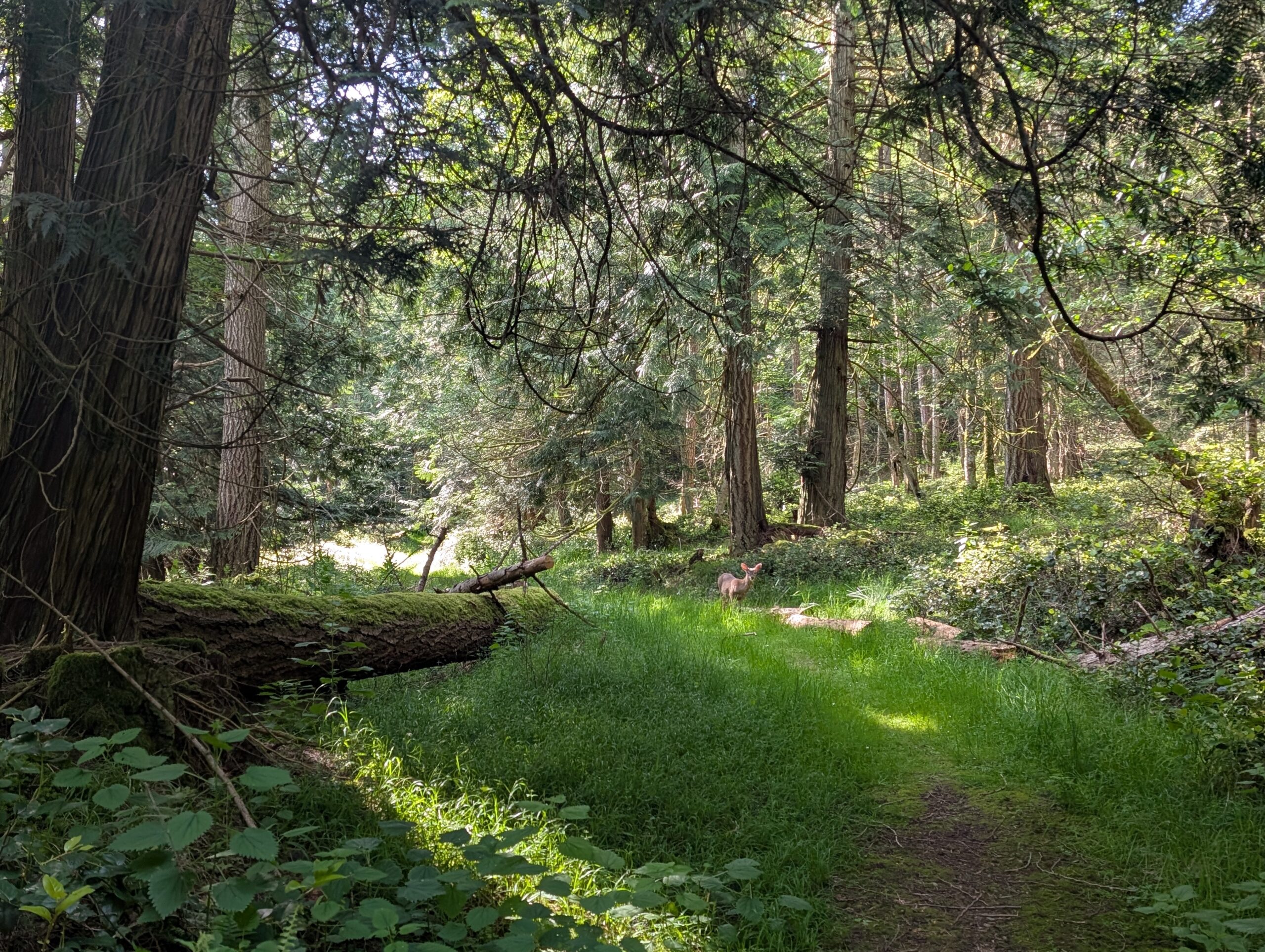
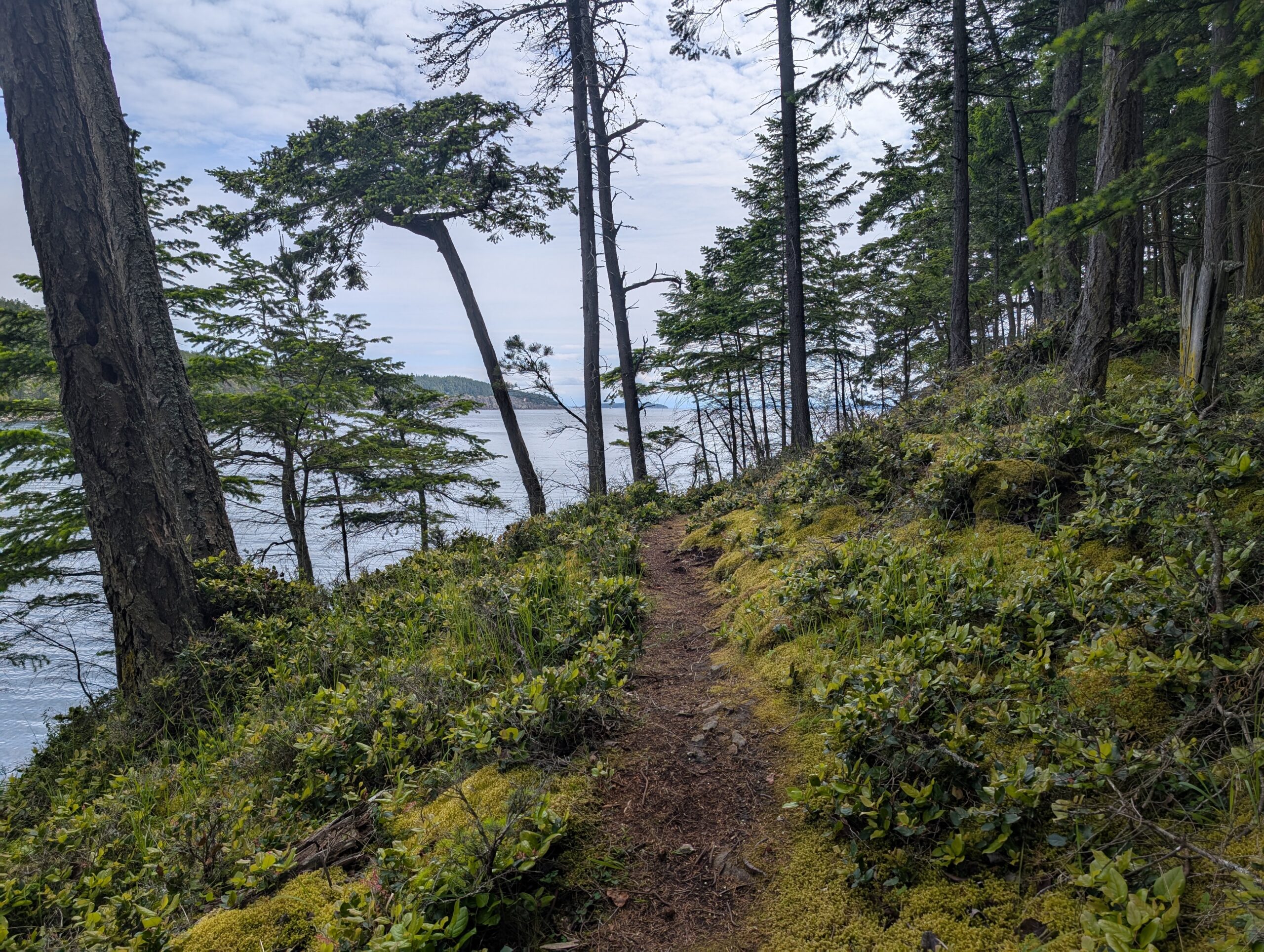
After my coffee and some food, I headed out to walk the Monarch Head trail, a ~3km hike to a nearby viewpoint. The walk was in meadow-like forest, and within the first five minutes I encountered two deer who were very curious about me. In fact, they started to approach me after I’d stopped, so I gently shooed them away.
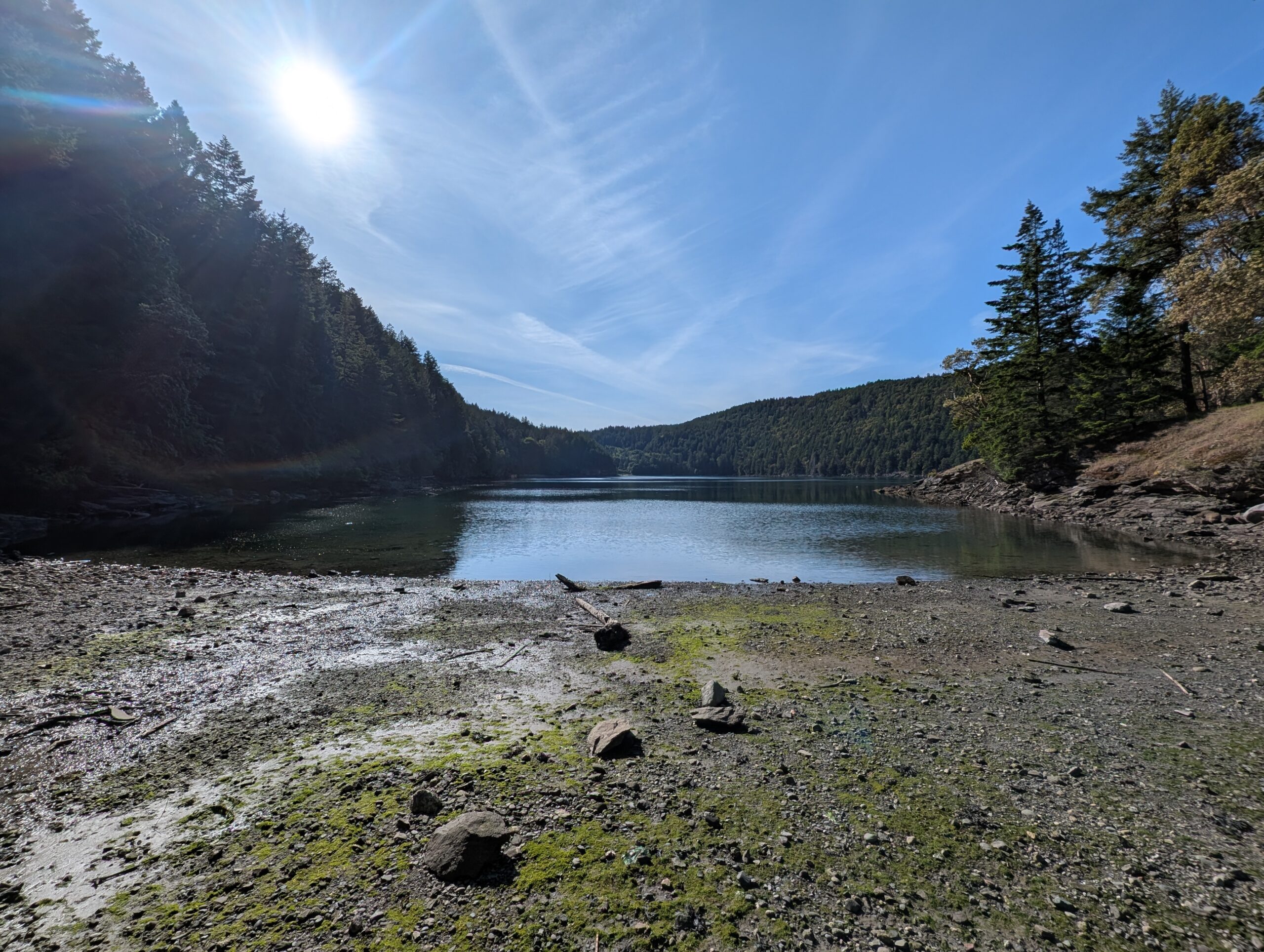
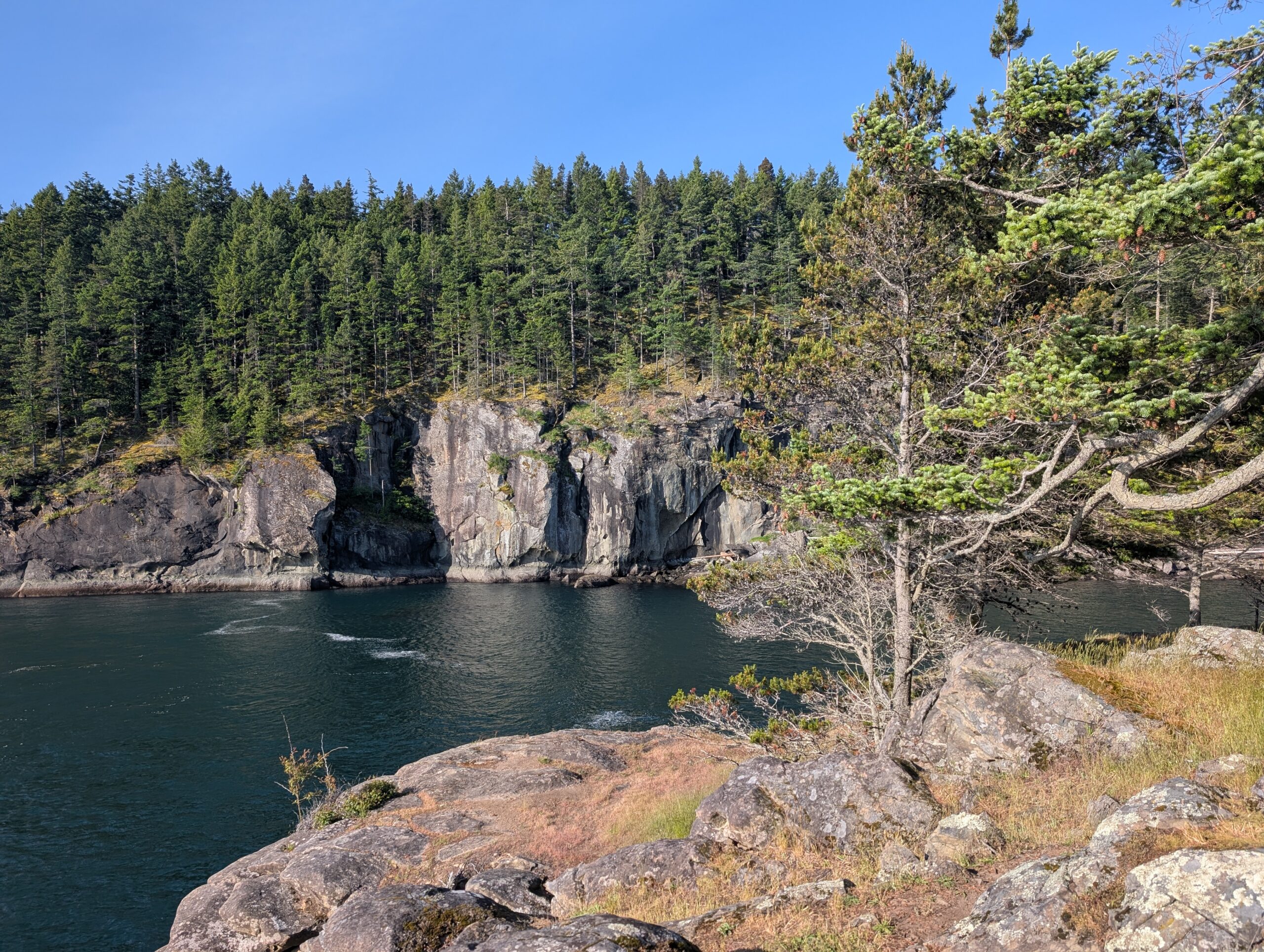
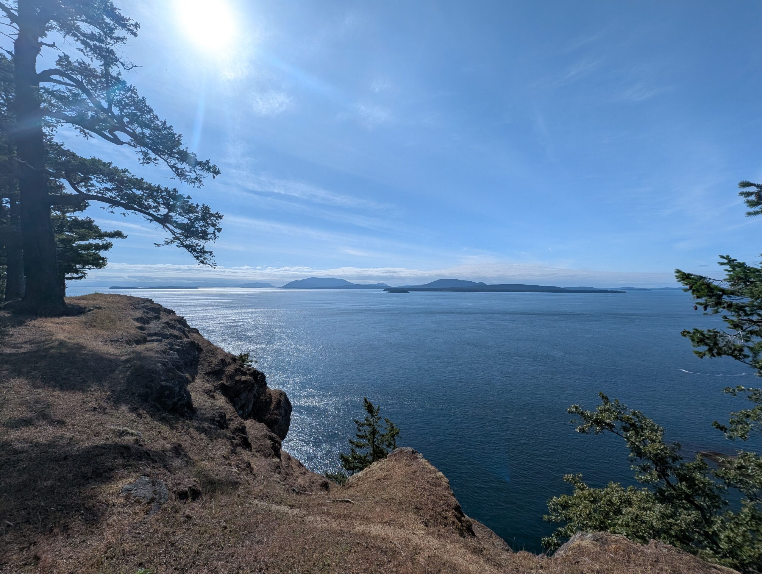
The viewpoint was nice, with sweeping ocean views of the San Juan islands on the other side of the border. I slipped around the fence to get a little closer, but not too close, to the cliffs which plummeted nearly to sea level.
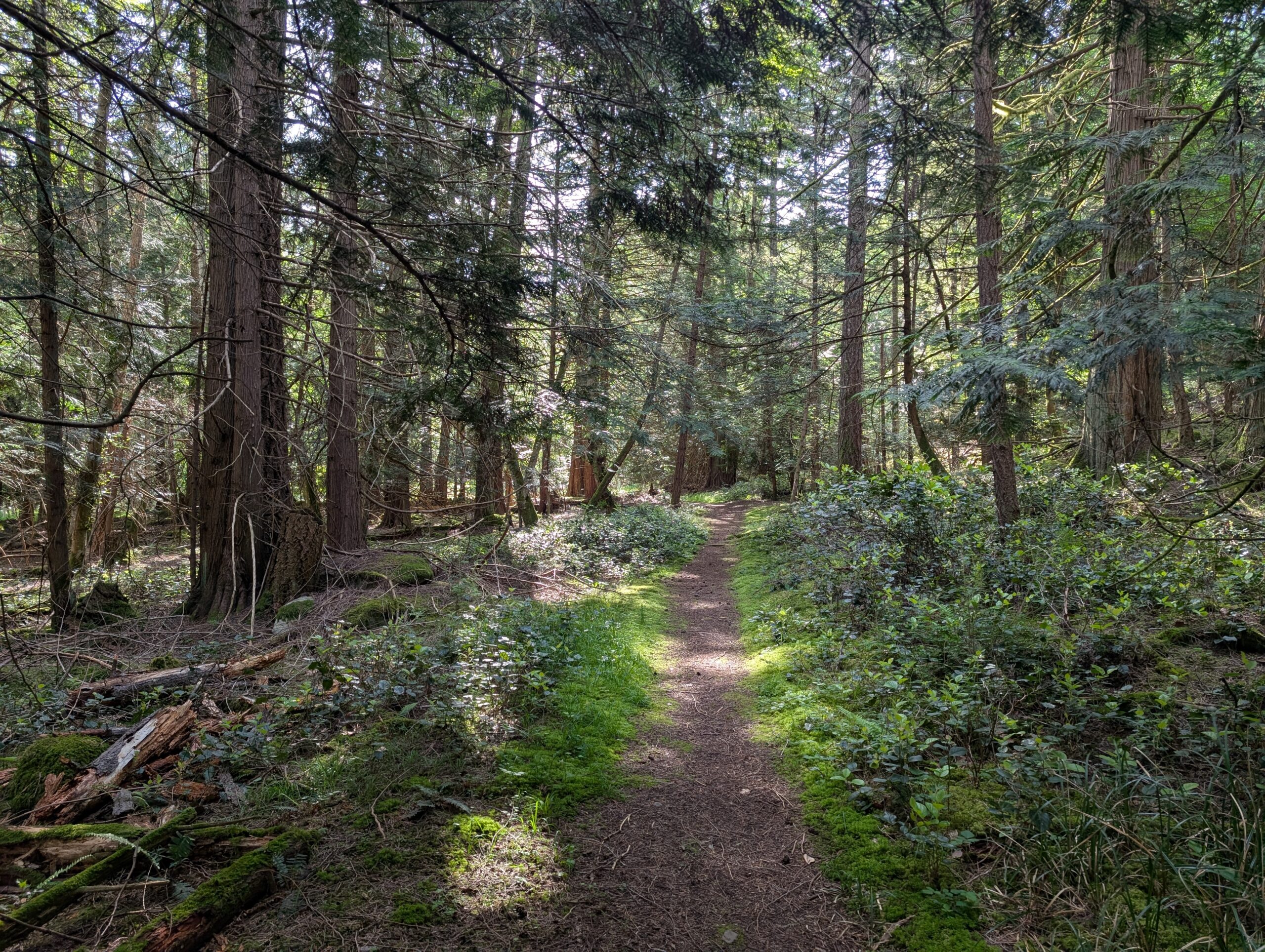
I forest bathed my way back out, returning to my bike locked at a rack near the trail head. At this point I had explored the entirety of the local trail network and it was barely past 9am!
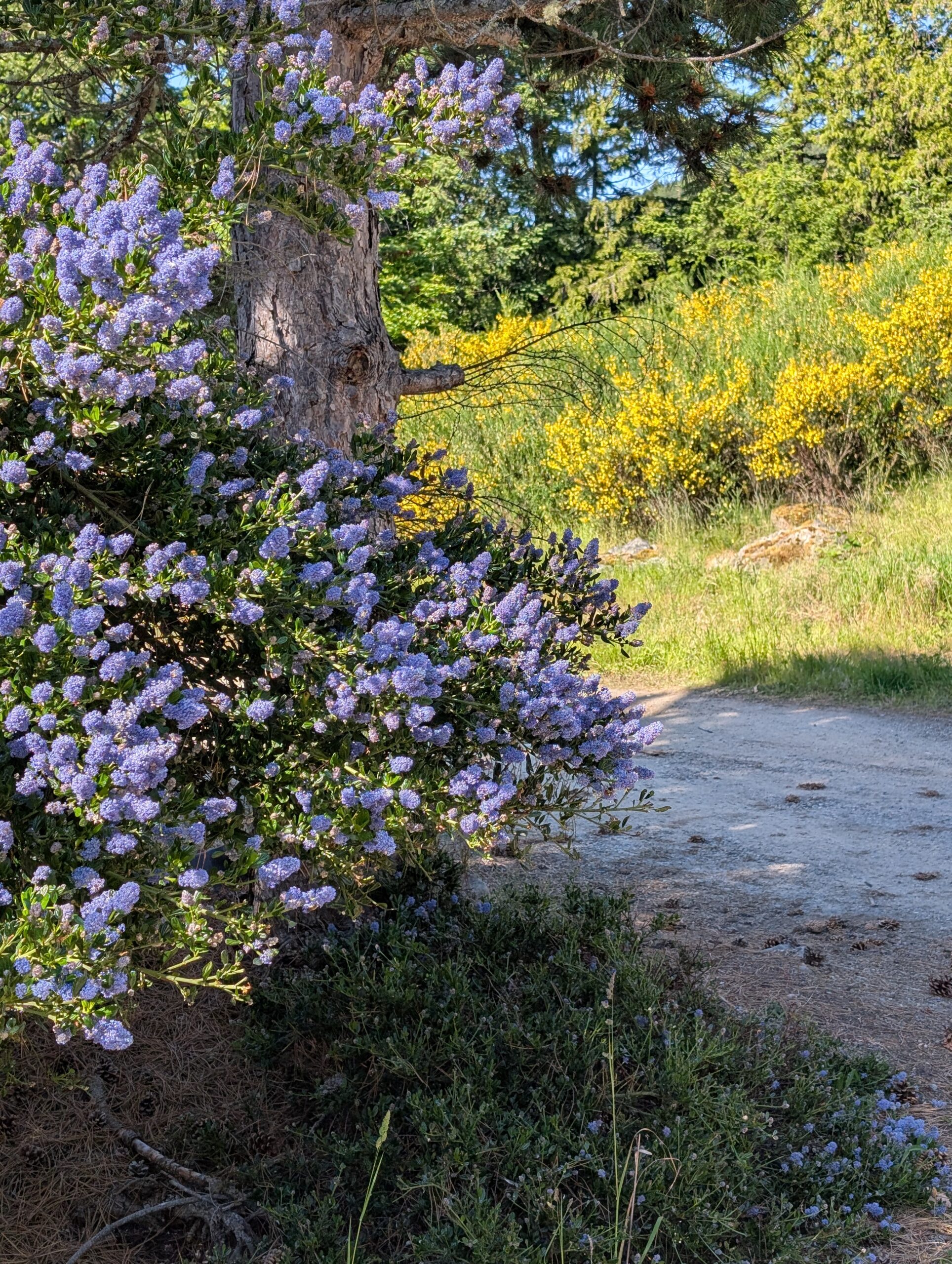
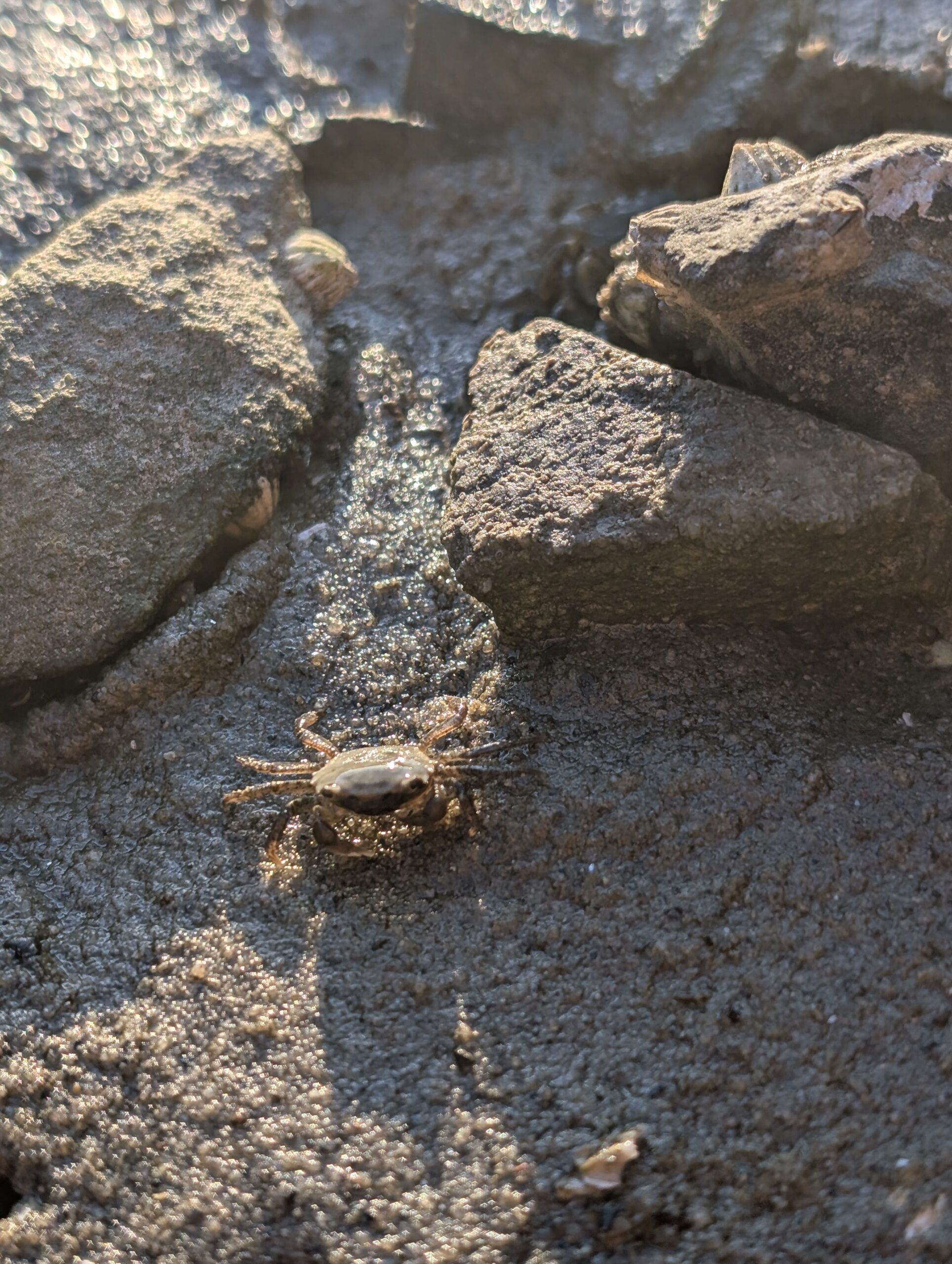
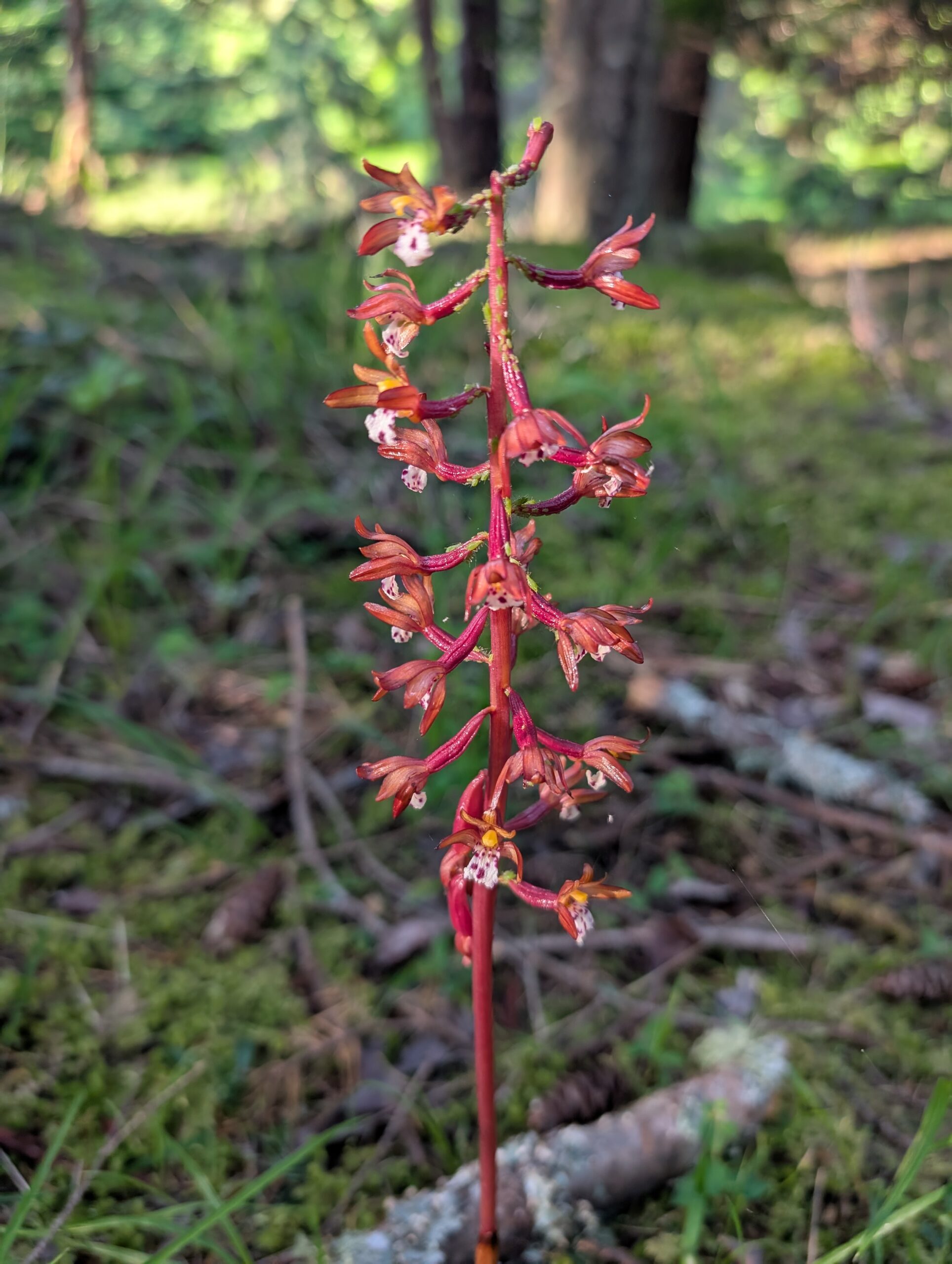
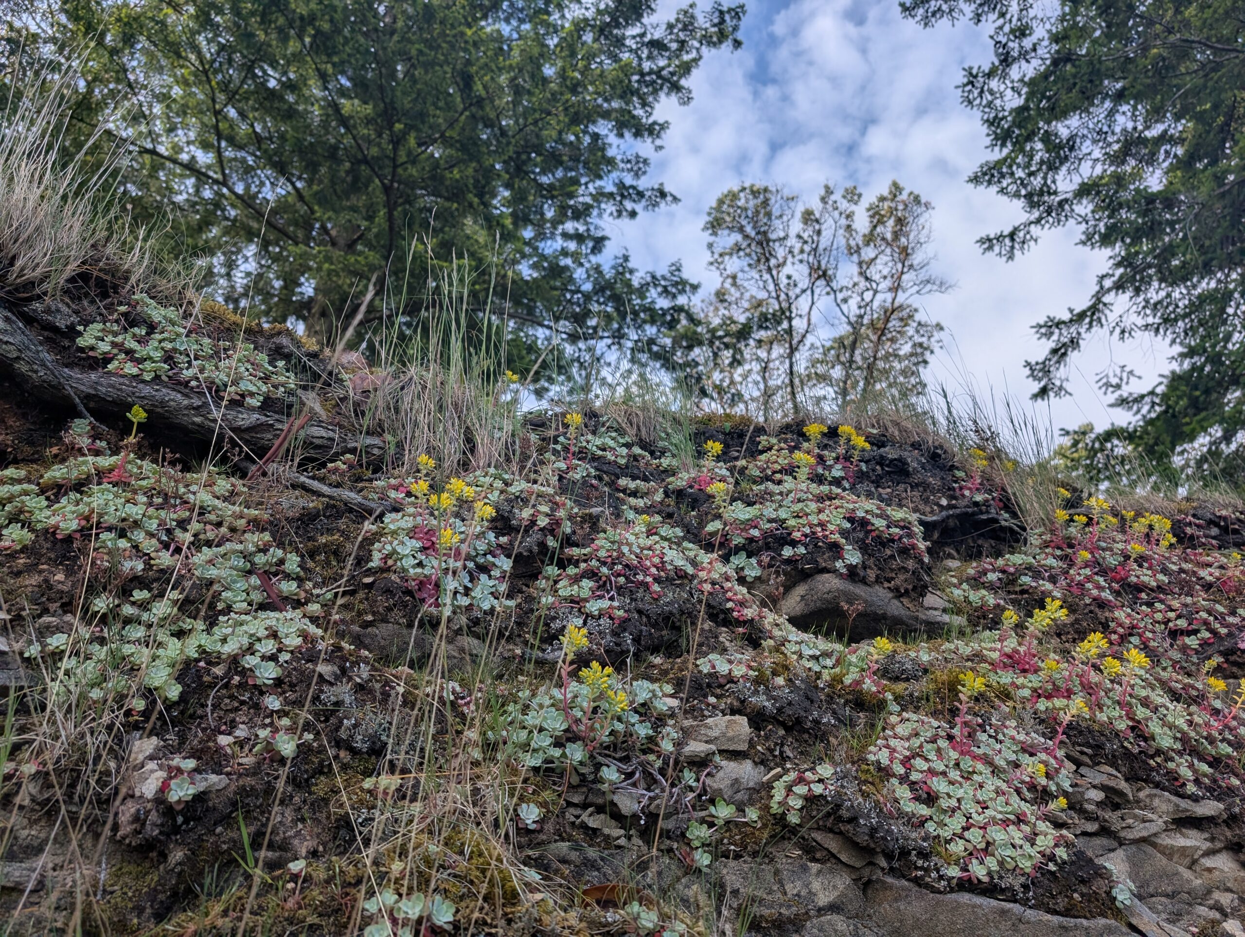
With more than two hours to go until LA arrived in camp, I walked the coastline and did more observation. I found a lot of blooming native succulents along the threshold between dirt and rock along the water:

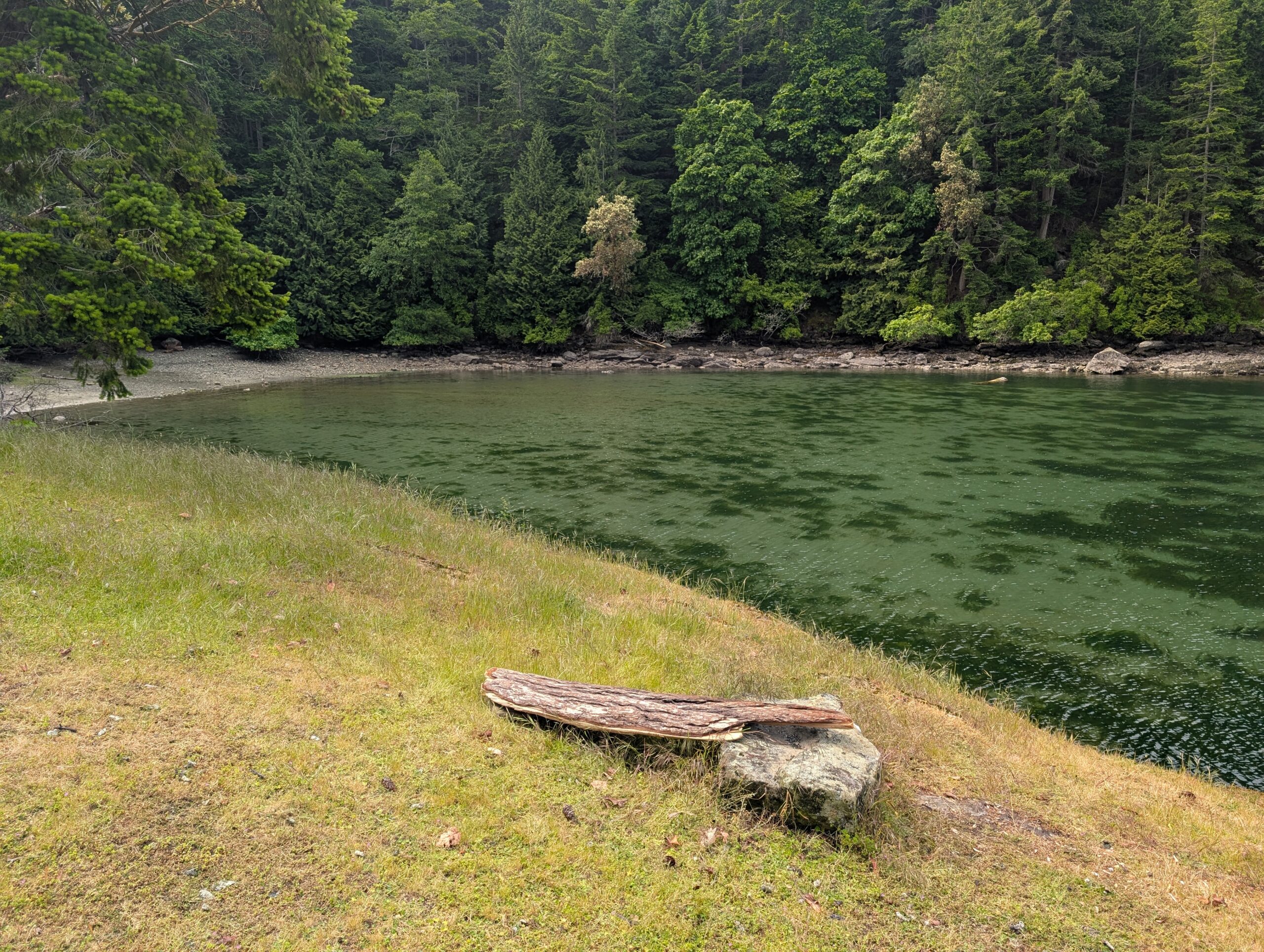
I fashioned a primitive bench from a piece of driftwood off the water edge, and walked among the lush salal bushes.
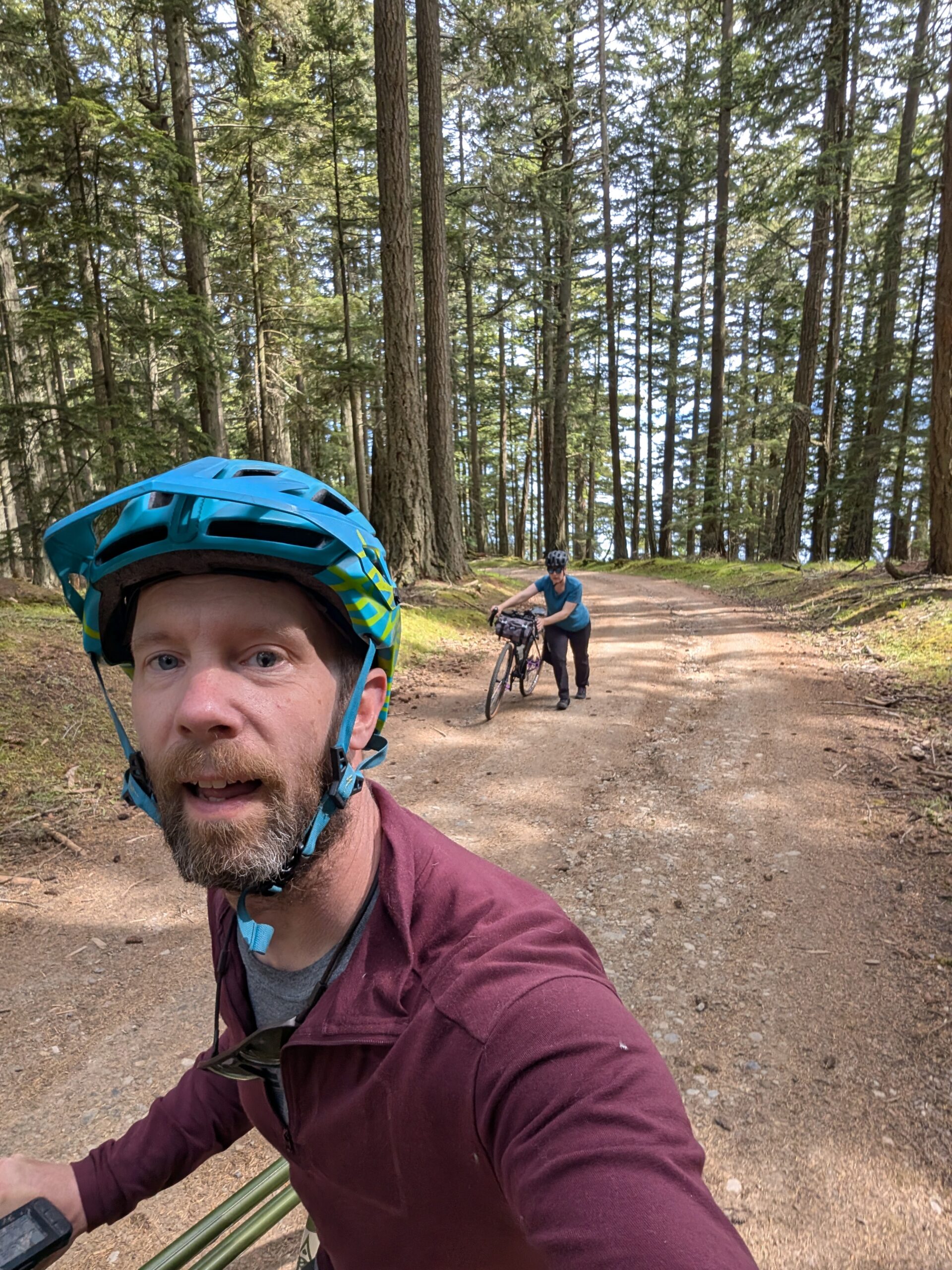
LA rolled into camp shortly before noon after some mechanical issues along the way. After setting up and having some food and a beer, we hatched a ride plan based on the options I had been mulling over during the morning.
The one thing I knew I wanted to do today was check out Mount Warburton’s peak; at 400m it is only exceeded by Salt Spring’s peaks in the southern gulf island range. More to the point, I wanted to traverse the ridgeline trail that I had visited yesterday, which followed the cliffside for about 3km.
The climb up involved a lot of pushing, as the grade was rarely below 12%, and sometimes over 20%. Our legs were tired already from the prior day’s travels which didn’t help either.
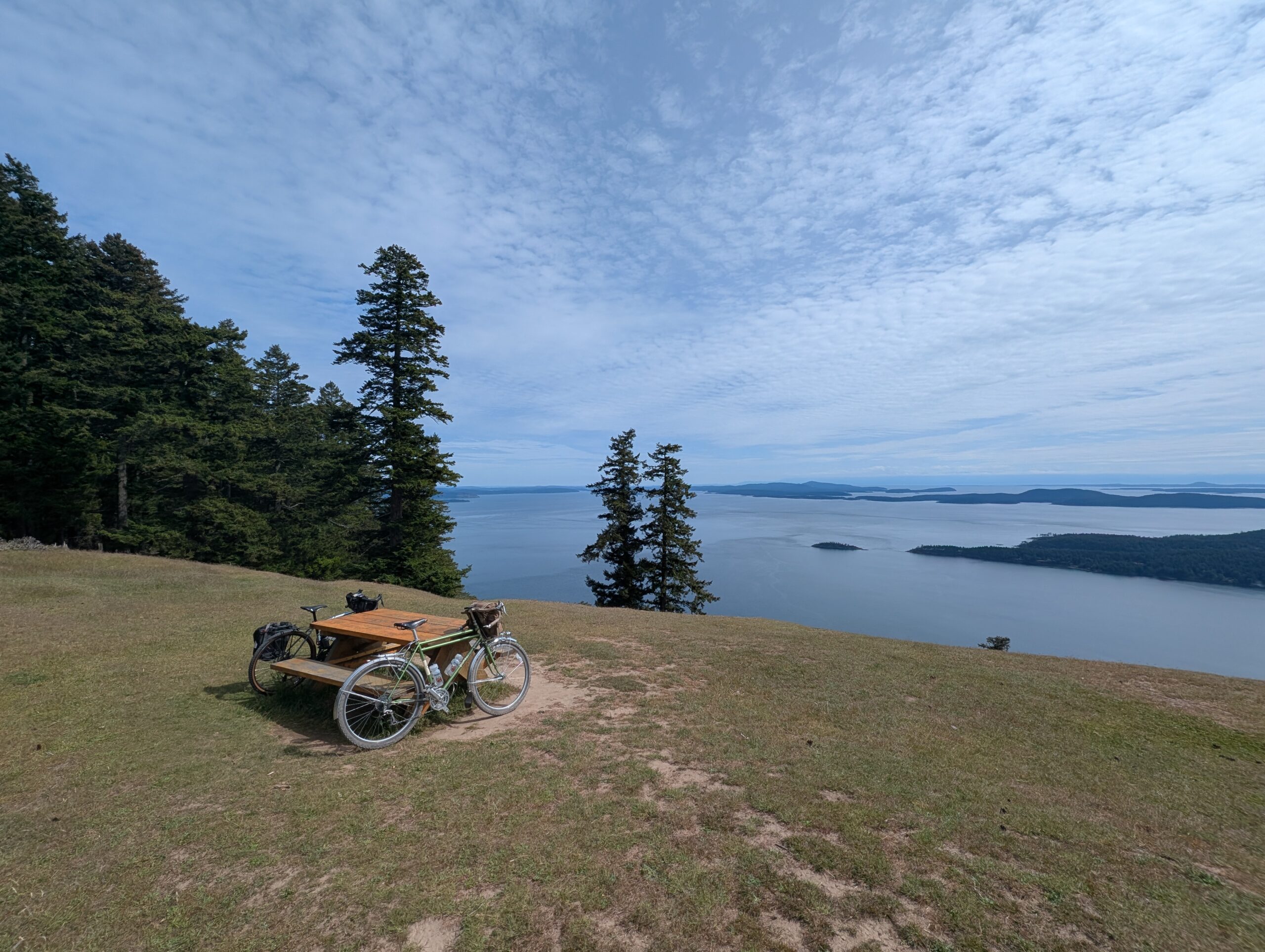
We were greeted with howling winds as we reached the open peak, in addition to a heck of a view.
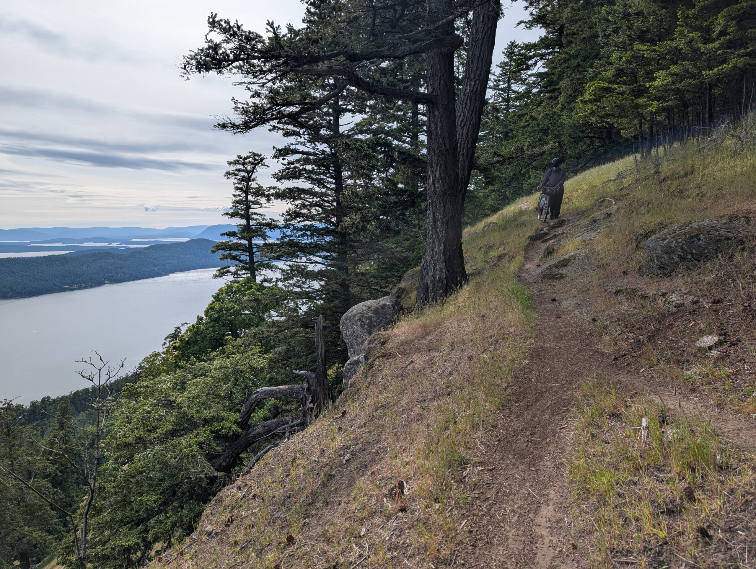
I scanned around for the start of the ridge line trail and was somewhat horrified to see how exposed it was along these high cliffs. It’s not very evident from the photos, but the slope towards the cliffs is steep enough that it would be hard to stop if you were to take a tumble. To make matters worse, the trail surface was a slippery combination of marble like rocks over hard pack earth.
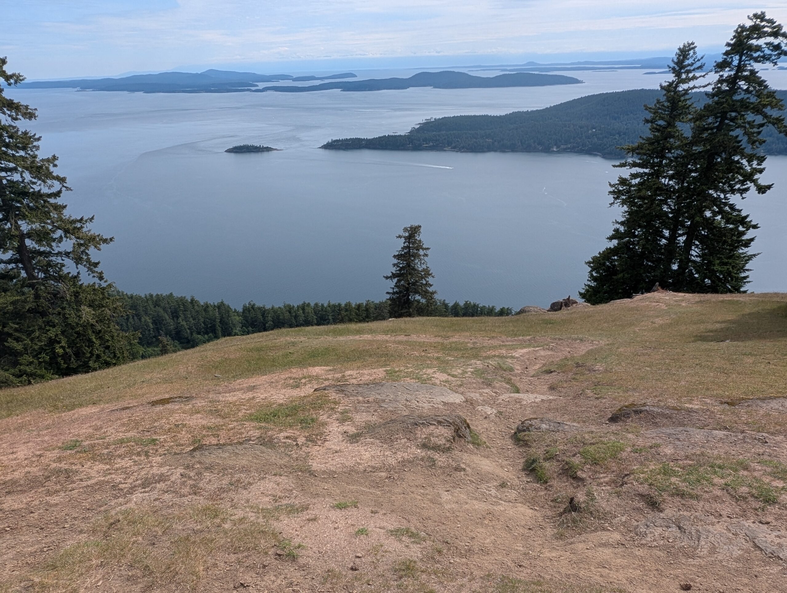
On the flip side, the views were non-stop breathtaking – not just the ocean views, but the plains and coves below gave a sense of just how high up we were.
With abundant caution we made our way along, riding sections that weren’t too high consequence, and walking as needed.
The photo below is as close as I was able to get at conveying the exposure of this line through photos. This was a goat path, and goats are notorious daredevils when it comes to cliff sides. It was not a single sheer drop, but several vertical cliffs punctuated by steeply sloping fields of grass which only the goats can safely traverse.
The outlier trees which grew on the open plains were dramatically wind swept, with countless broken limbs overcome over the years.
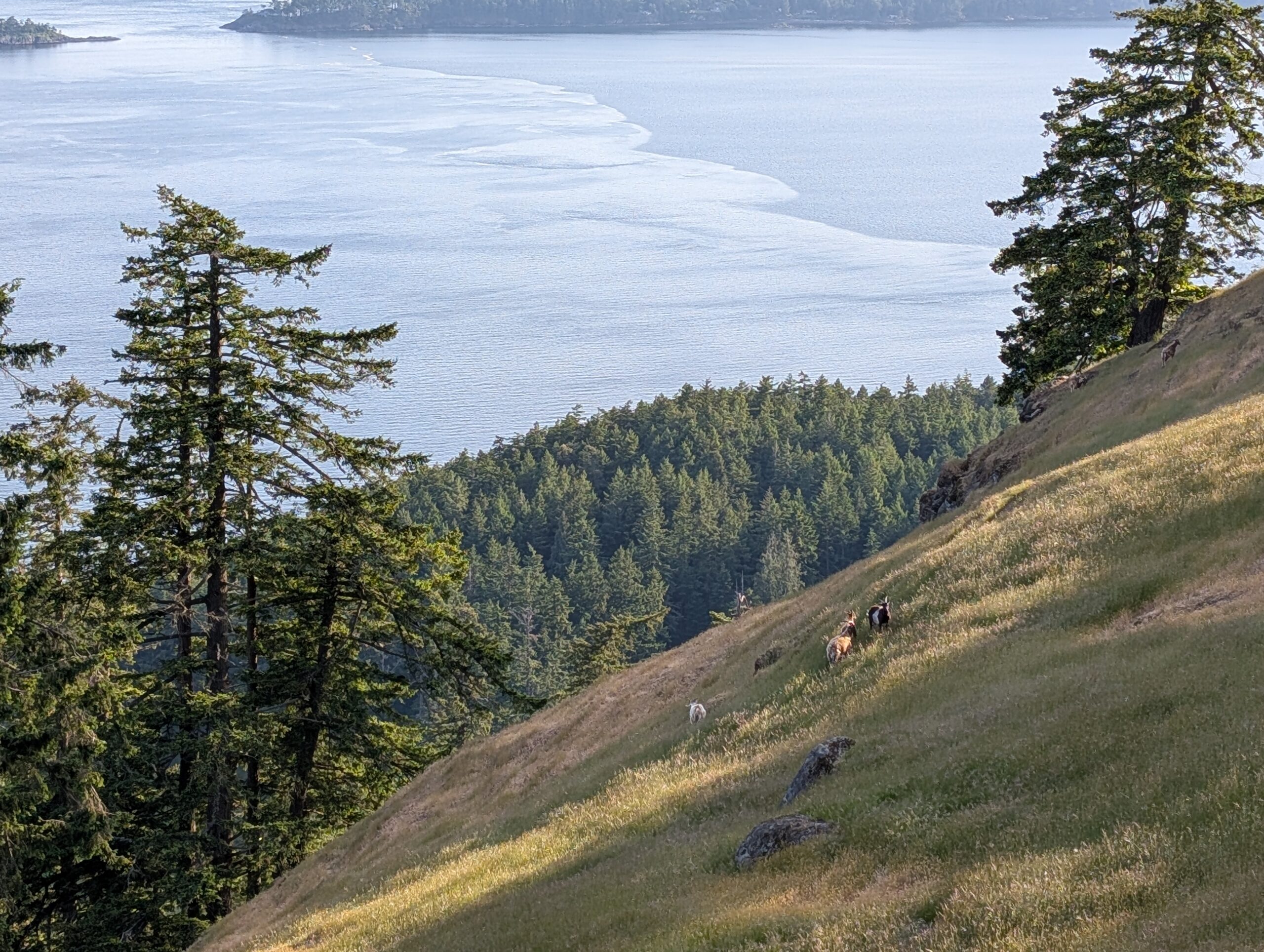
As we approached the end of the ridge I was starting to worry we wouldn’t see the goats, but they were there to greet us at the same spot I had seen them yesterday. Once again they seemed quite unsure about us, so we walked off-trail to give them space as we passed.
We descended to the camp and I calmed my height-fearing nerves with a beer. I didn’t take any further photos for the night as I had underestimated my battery needs for the trip and needed to conserve. In fact, my battery would have been dead by this point if it weren’t for LA’s preparedness with extra battery packs.
The next morning I was up before 7am again, as I needed to leave camp around 8 to make the ferry. Re-packing the bike at the end of a trip is always more chaotic than the initial packing, so despite having less food to carry, the bags seemed fuller. This was also a pack-in, pack-out campsite so a small bag of garbage was tucked under the flap of my huge saddle bag.
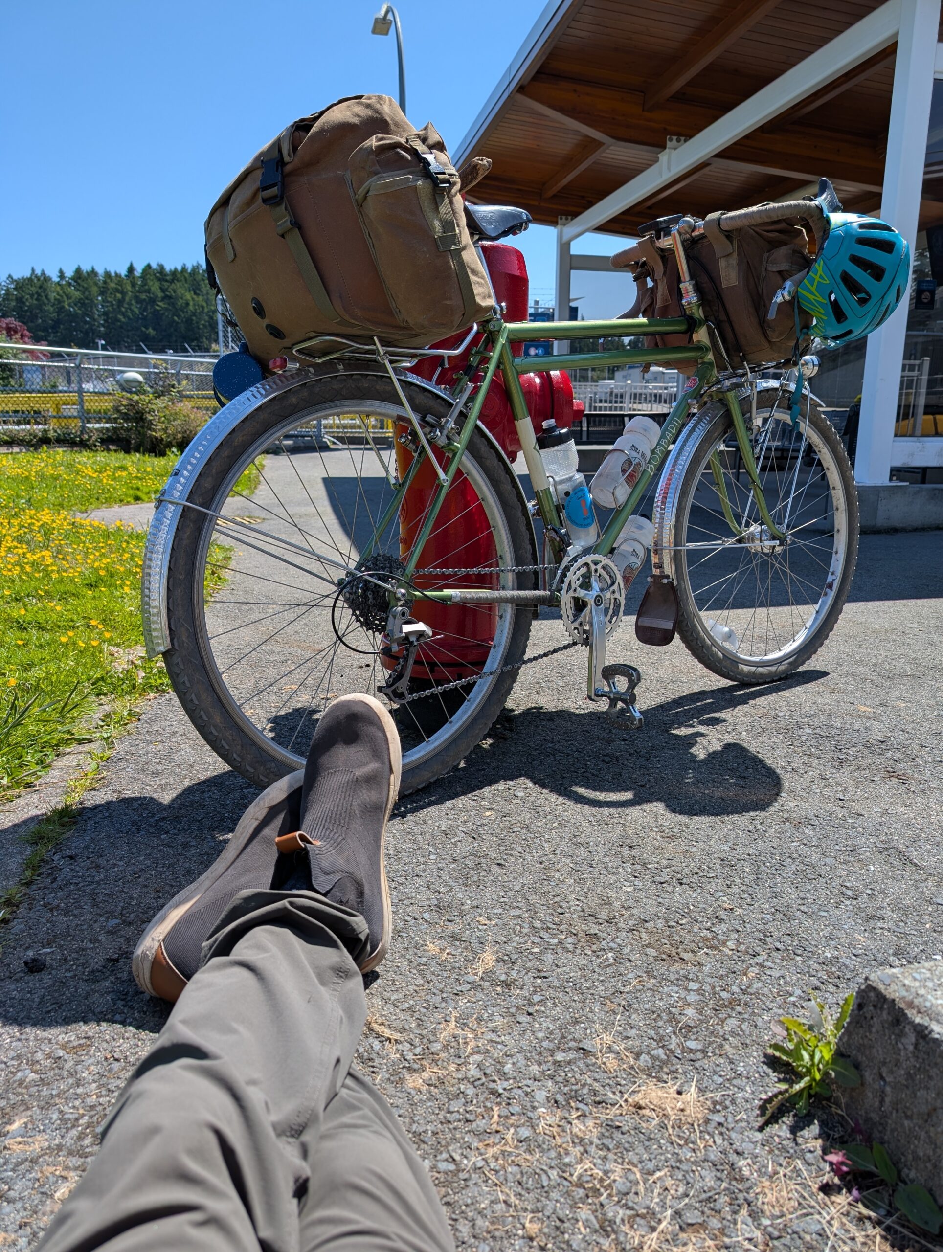
I left with enough time to appreciate the sights along the way and arrive before anyone else for the ferry. The trip back involved two ferries with a short layover on Mayne.
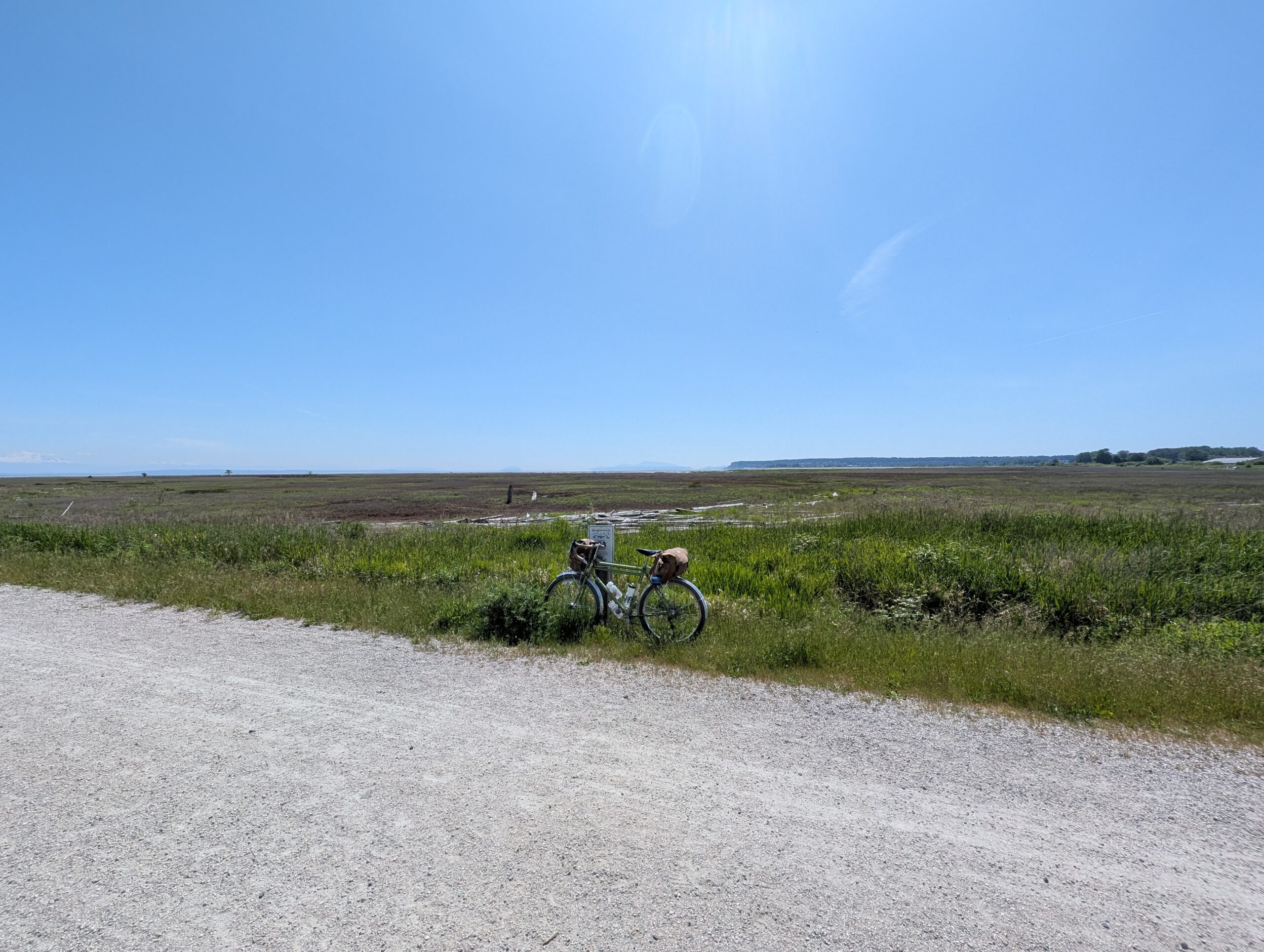
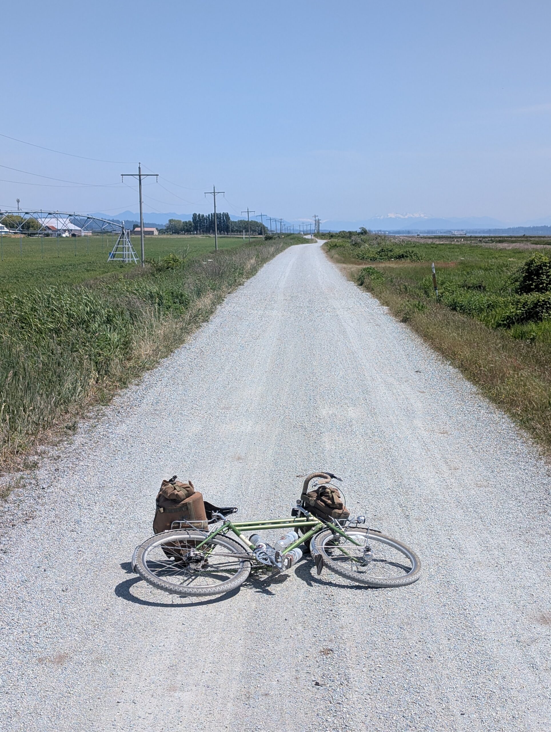
Once back on mainland, I opted for the long gravel path along Boundary Bay and up along Burns Bog; while this added some distance to the trip it also kept me away from traffic. It was a clear, sunny day with temperatures in the low 20’s Celsius, so I was happy to spend extra time in the saddle.
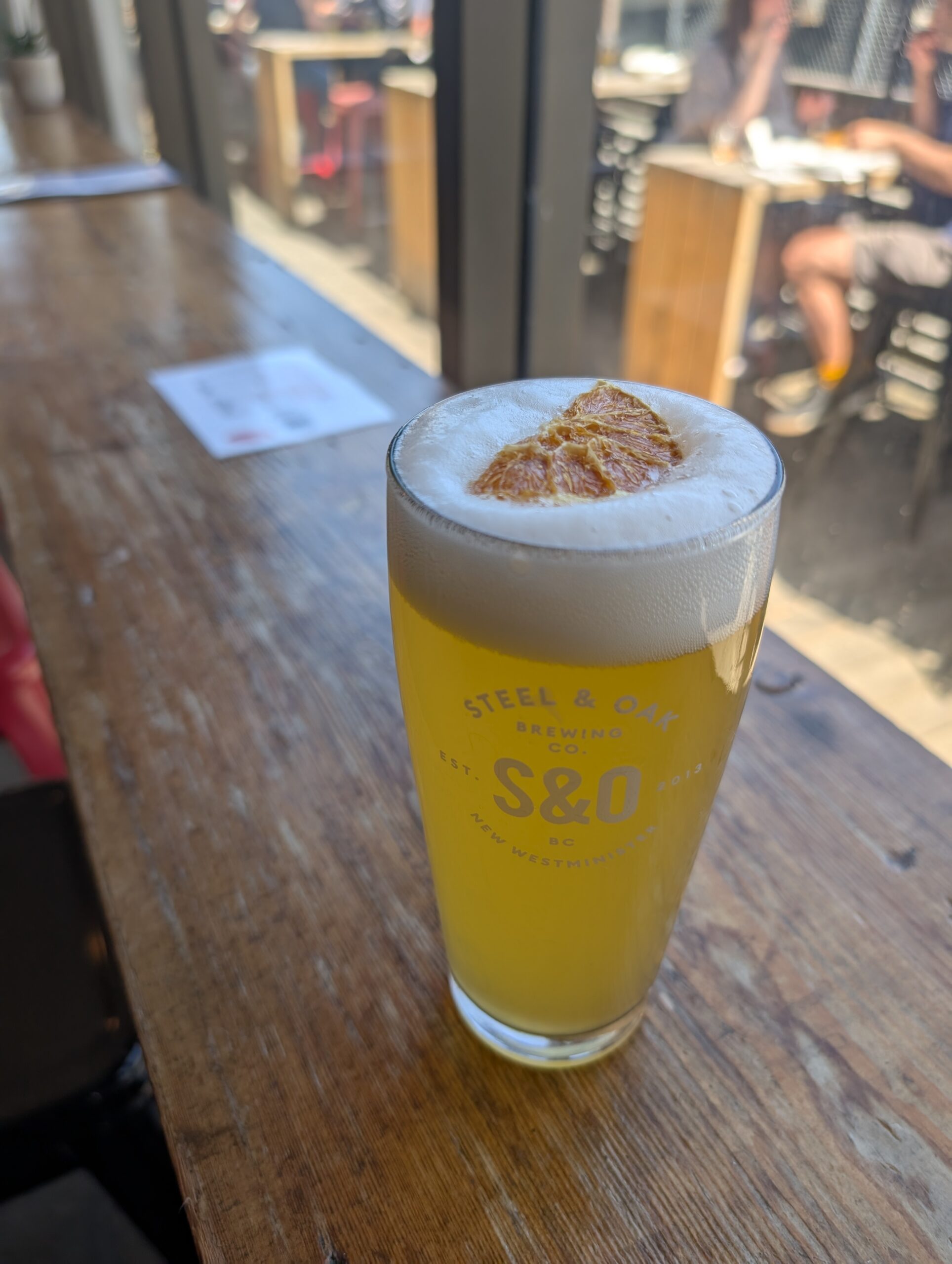
I spent a few miles riding with three old guard randonneurs, easily in their 70s, who kept a solid pace even on the trails despite being on road bikes. I detoured once again around New Westminster to get a smash burger and hefeweizen at Steel & Oak, and tried unsuccessfully to catch the tail end of a bike event, Rileys Rips, that I had to miss today.
It was an extremely rewarding trip with no mechanicals, good health, and even better spirits. The three day tally on riding was 168km and 2010m of elevation, more than half of which was off-pavement.
I see why Saturna is a favourite among my friends, and I’m inclined to agree. The roads are extremely quiet, the humans are few and far between, but the goats and the deer are plentiful. The views along the south ridge are the best I’ve experienced in the gulf islands. Next time I’d like to explore the north side to the lighthouse, and perhaps visit the winery despite the challenging road to reach it.
Post-Summary Fit Check: Bombadil
While it’s changed a handful of times since I bought it in 2020, the Bombadil is currently configured with drop bars, fenders, and a 3×9 drivetrain. This makes it my ‘gravel bike’ as well as my touring bike with the Nitto R-10 rack mounted up to support the large Fab’s chest on the back paired to a small Fab’s chest on the bars.
I don’t know how many litres the two bags combined offer, but for my gear it does prove to be a challenging space constraint. In the big rear bag I fit my entire sleep system in the main compartment: MEC Spark 1-person tent, inflatable sleeping pad, Hammock Gear 30F quilt, and MEC camp pillow. I also fit my puffy jacket in there. In the side pockets were a Nalgene on one side due to the lack of water at camp, and the other side carries my toiletries and sundry camp items.
The smaller front Fabs housed my food collection, comprehensive tool roll, and all my clothing. The side pockets housed my small bike lock, sunscreen, battery brick, and stuff like that. I brought very little extra clothing; a pair of pants, an extra tee, and socks and undies. I didn’t even bring a second outer layer beyond what I wore out of the house. There was no cooking stuff in my kit at all, due to both space and water constraints. I would need to add some storage capacity to bring that stuff, such as my Randi Jo Big MUTs (need some sort of rack for them to run on this bike, though).
Lessons Learned
Once again I underestimated how much battery I would use on the trip, and I learned the hard way that my new phone’s battery is much larger than my old phone, and as such, my 10,000 mAh brick is not enough. I’ll purchase a 20k+ model before my next trip.
I brought too much food again, and made some questionable hasty decisions like throwing an entire jar of ‘Wow Butter’ in my bag. This would take me a week to get through easily! Partly this was being unfamiliar with what would be available on-island, so next time I can plan accordingly.
Otherwise everything performed well and I didn’t have too much stuff that I didn’t use, or would risk leaving at home.
Leave a Reply