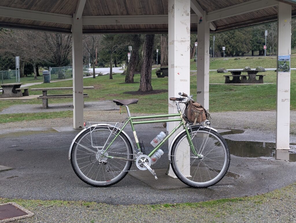
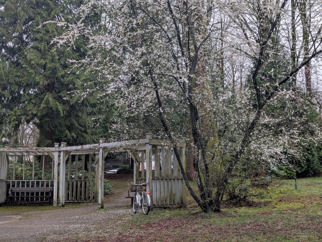
I’ve been working on a fresh version of my Burnaby route dubbed the Burnabop XL; the 2025 version was 76 km long but I’ve whittled it down to 56 km now – though it’s mostly the easier sections that have been removed, so it’s hardly any quicker to ride. The new starting location (complete with a bathroom!) is Confederation Park, specifically this spot:
Within the first kilometre there are multiple grass surfing opportunities.
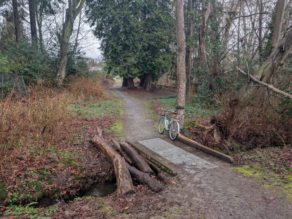
Towards the end of the 2025 version route is Beecher Creek, which is such a gem of the Brentwood area. The problem was, being late in the course, a lot of people skipped it to head home. So in the 2026 version, I’ve placed Beecher right near the start.

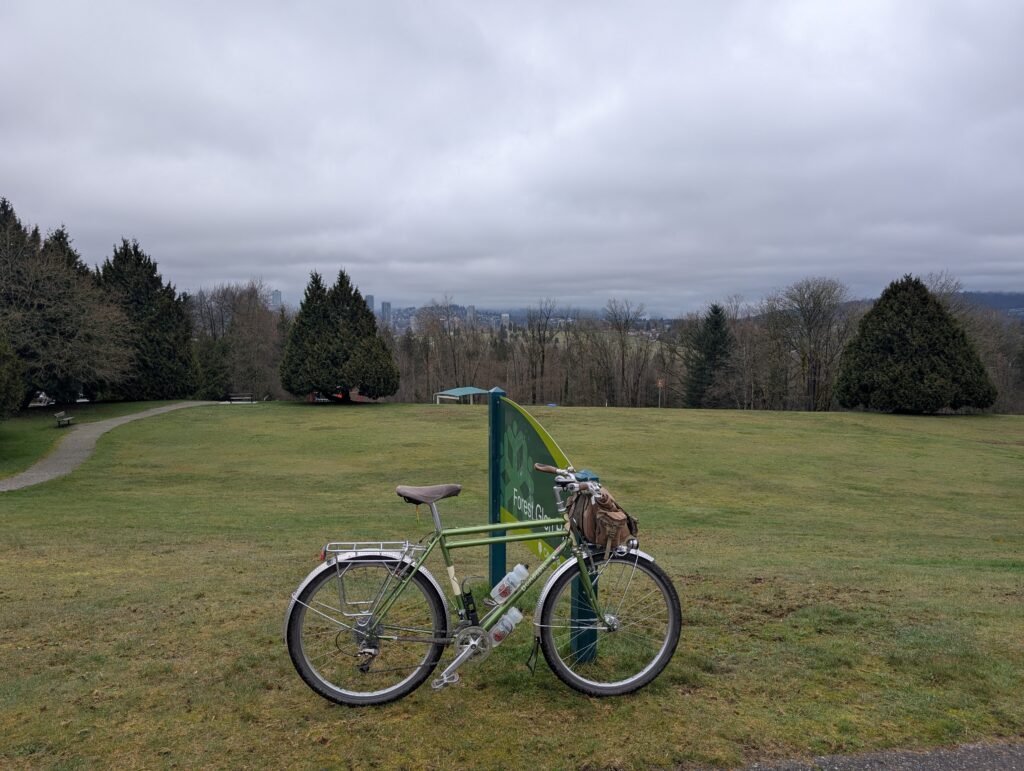
I wasn’t riding the full course today but I wanted to try out the first 10 or so km to see how natural the connections felt. I was familiar with it all but hadn’t ridden it exactly this way before. It was pretty decent! It’s somewhat awkward to connect the best bits around town but this will do.

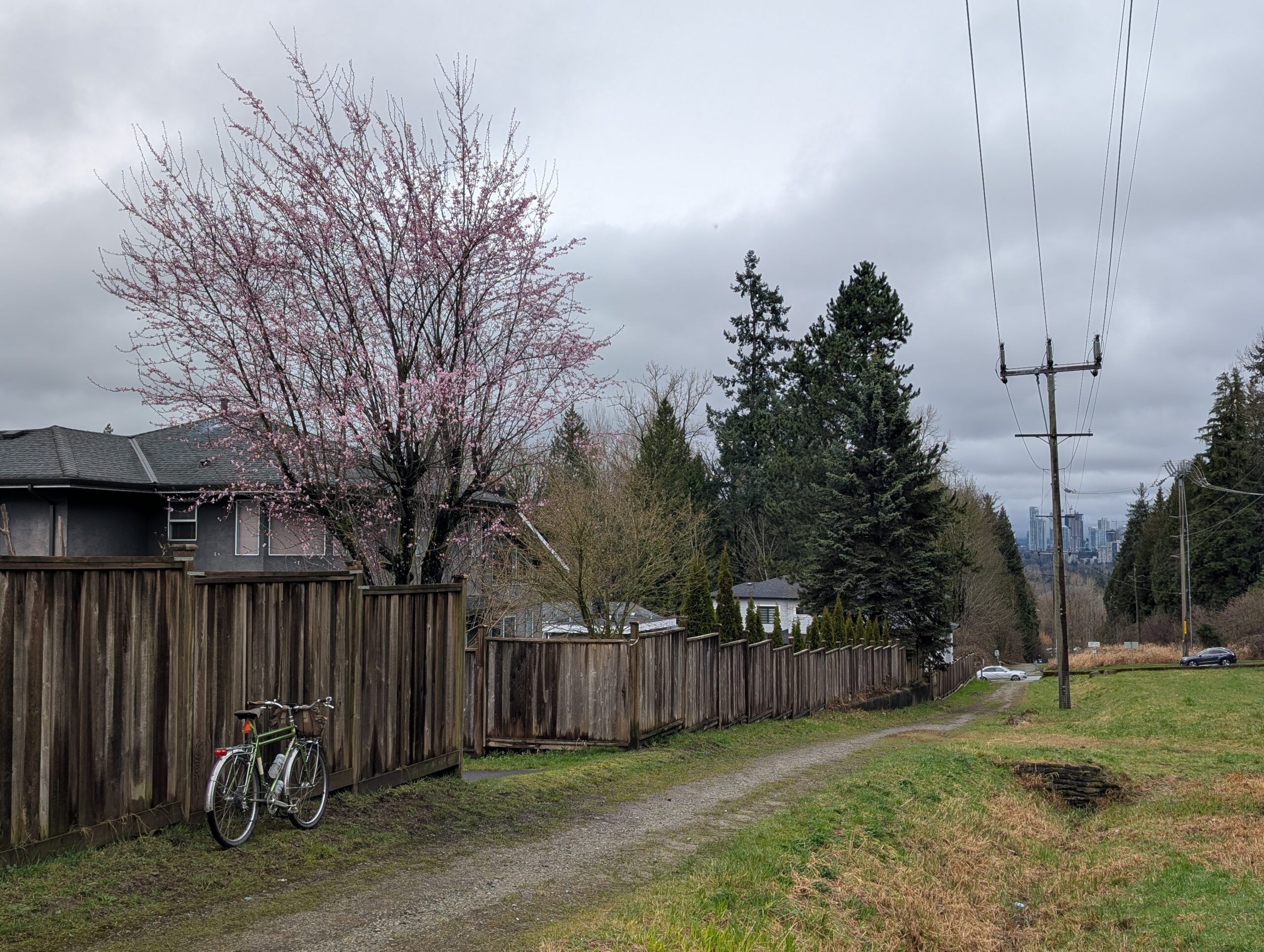
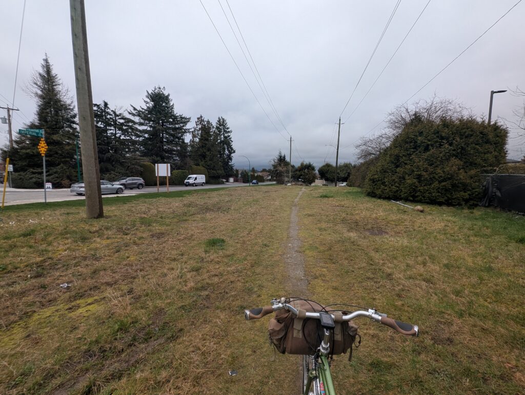
I skipped the south section due to time (and energy) constraints and headed over to the powerline section – a pretty silly part of the route where it just literally follows under the powerlines diagonally across a stretch of Burnaby. There is a hint of a path in spots, other parts are just riding on grass.
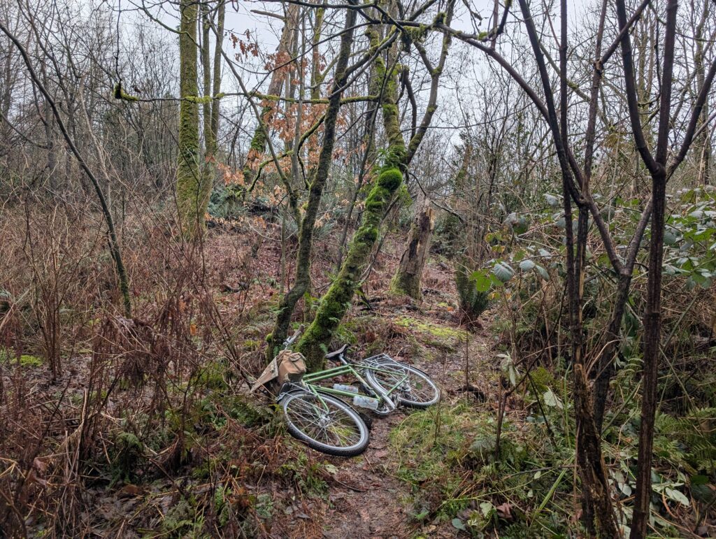
The pre-ride came in handy as there was a short stretch of powerline path that also coincided with an off-leash area; I’ve ridden it a few times and never seen a dog but today it was pretty packed with large-breed dogs that did not like bicycles, so I’ve since re-routed to avoid this spot. The two photos below are from before and after that spot.

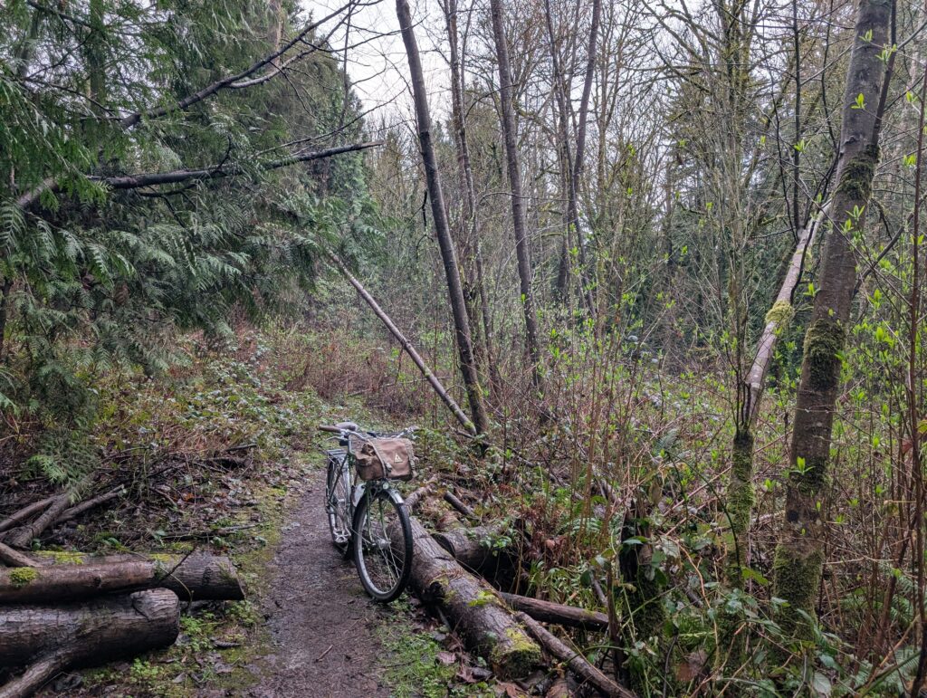
The next section is Robert Burnaby and George Derby parks respectively; the former is home to the biggest black cottonwoods I’ve seen. Below is the second largest here that I know of. This is a favourite stretch of semi-urban trail for me; it traces around a couple big ravines and serves as a reminder of what the terrain was like before we flattened it all around here.

In the 2025 route there was a somewhat awkward section of sidewalk between the aforementioned forest and the next section, an old interurban rail bed. I’ve “solved” this by including a 200m section of trail I previously felt was unreasonable to include; it’s overgrown and has several creek crossing with steep and greasy embankments either side. I brought along my shears and folding saw and did a bunch of trimming of the prickly shrubs that line much of the trail but it will need more work and routine maintenance.
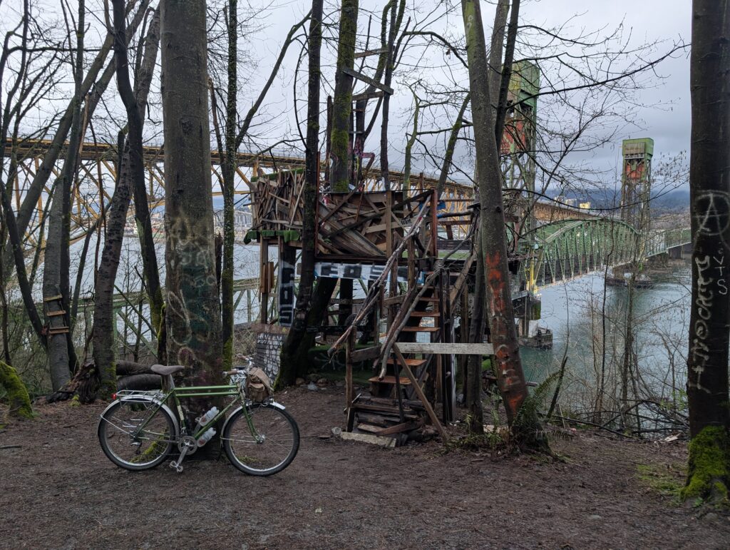
After the course work I stopped by Dageraad for a burger and beer, then took the north trail home. I stopped by this tree fort which has an impressive amount of hard work put into it, including a staircase that feels rock solid.
All in all it was 50km and about 800m elevation for the day.
Leave a Reply