I’m writing this over a decade later, so the details are a little more sparse, but this trip remains a core memory burned into my soul. It remains the most beautiful terrain I have ever experienced. It’s also the only time I’ve seen grizzlies that weren’t separated from me by a fence.
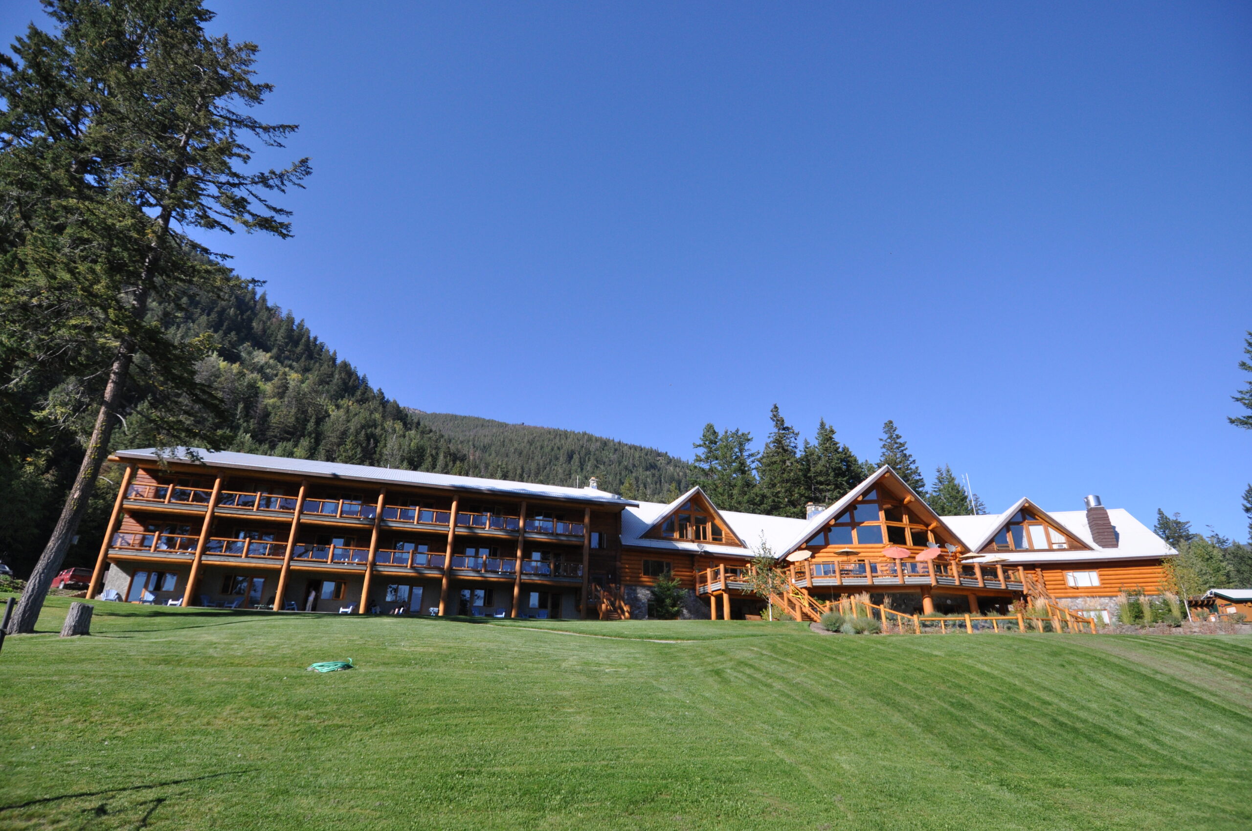
I went with my friend Nick, just two of us, though we’d hoped another friend or two would join. We drove up in my Golf, driving north to Lillooet then west to reach the Chilcotin mountain range. It’s a long drive, so we drove up the day before and stayed in Tyax lodge. This also afforded us a lovely dinner, as well as a filling breakfast before we set off on our bikes the next morning.
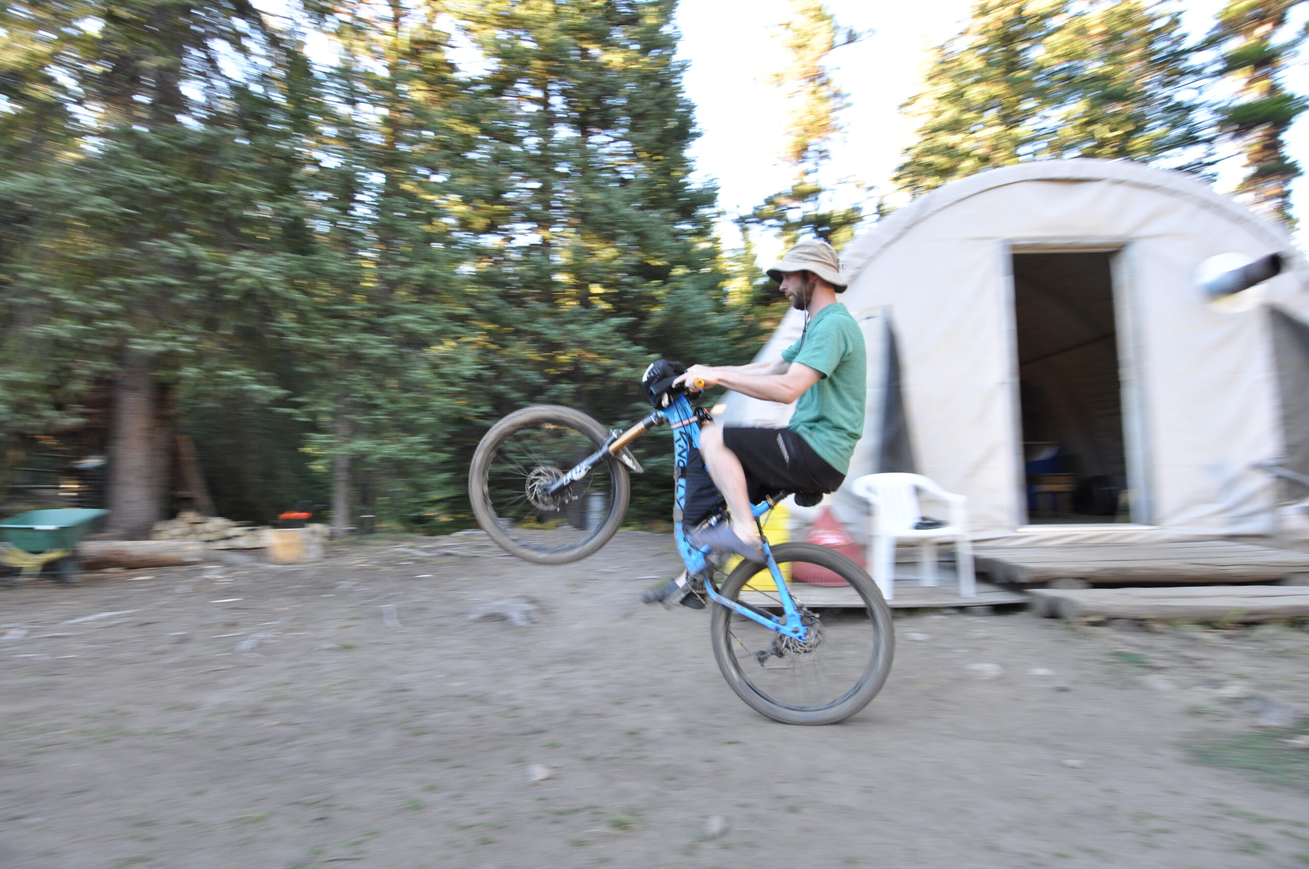
Day one was riding from the lodge to Spruce Lake, where we had booked the glamping tents operated by Tyax. We skipped the option to be flown into the far end of the trail network, but instead put that money towards accommodations for the two nights we’d be in the backcountry. It was very worth it, but more on that later.
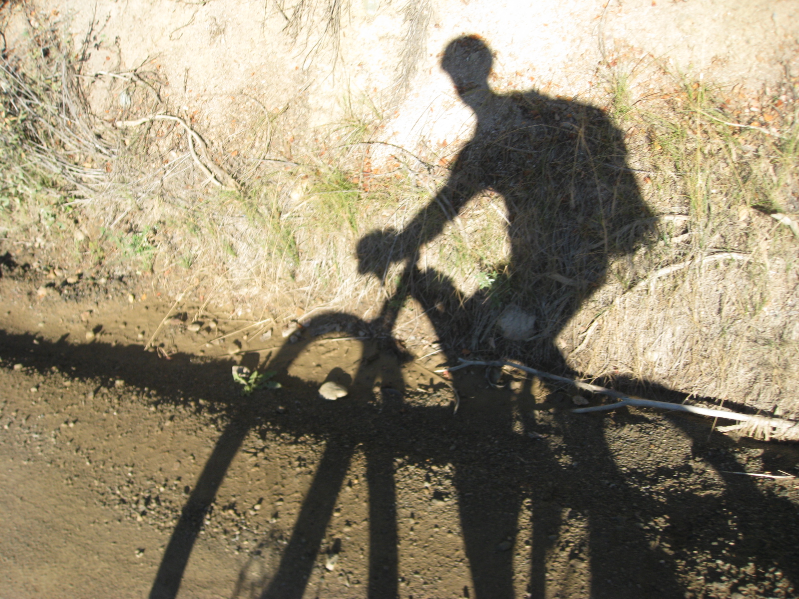
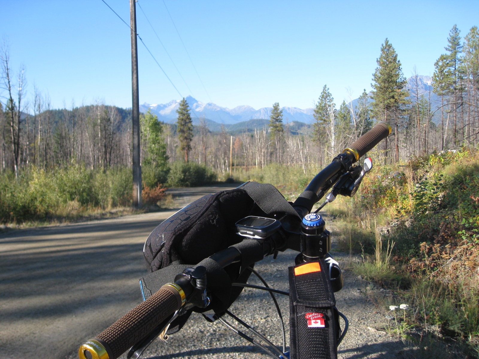
The first ten kilometres or so were on FSR and reasonably flat. This was Gun Creek Rd.
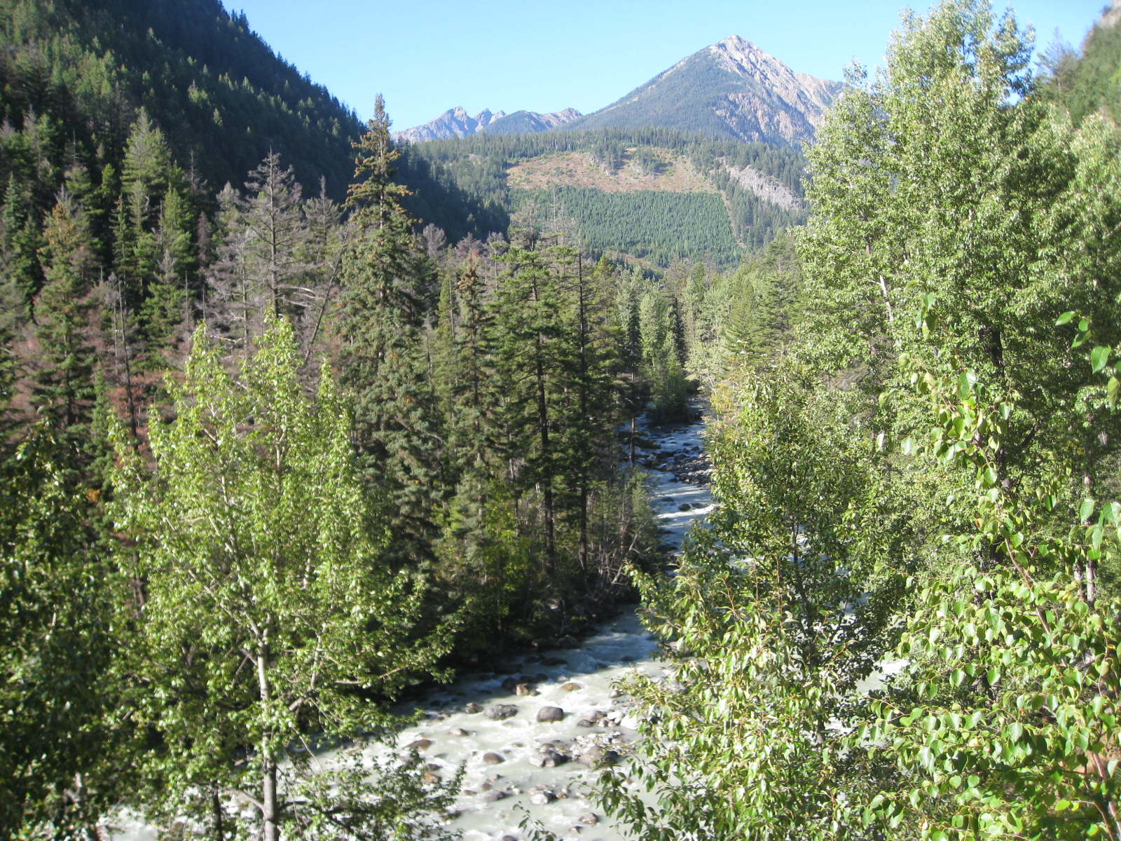
After that, the FSR ends and Lower Gun Creek trail begins. It’s 12 km long, following Gun Creek as you can imagine, so the climb is consistent but not too steep.
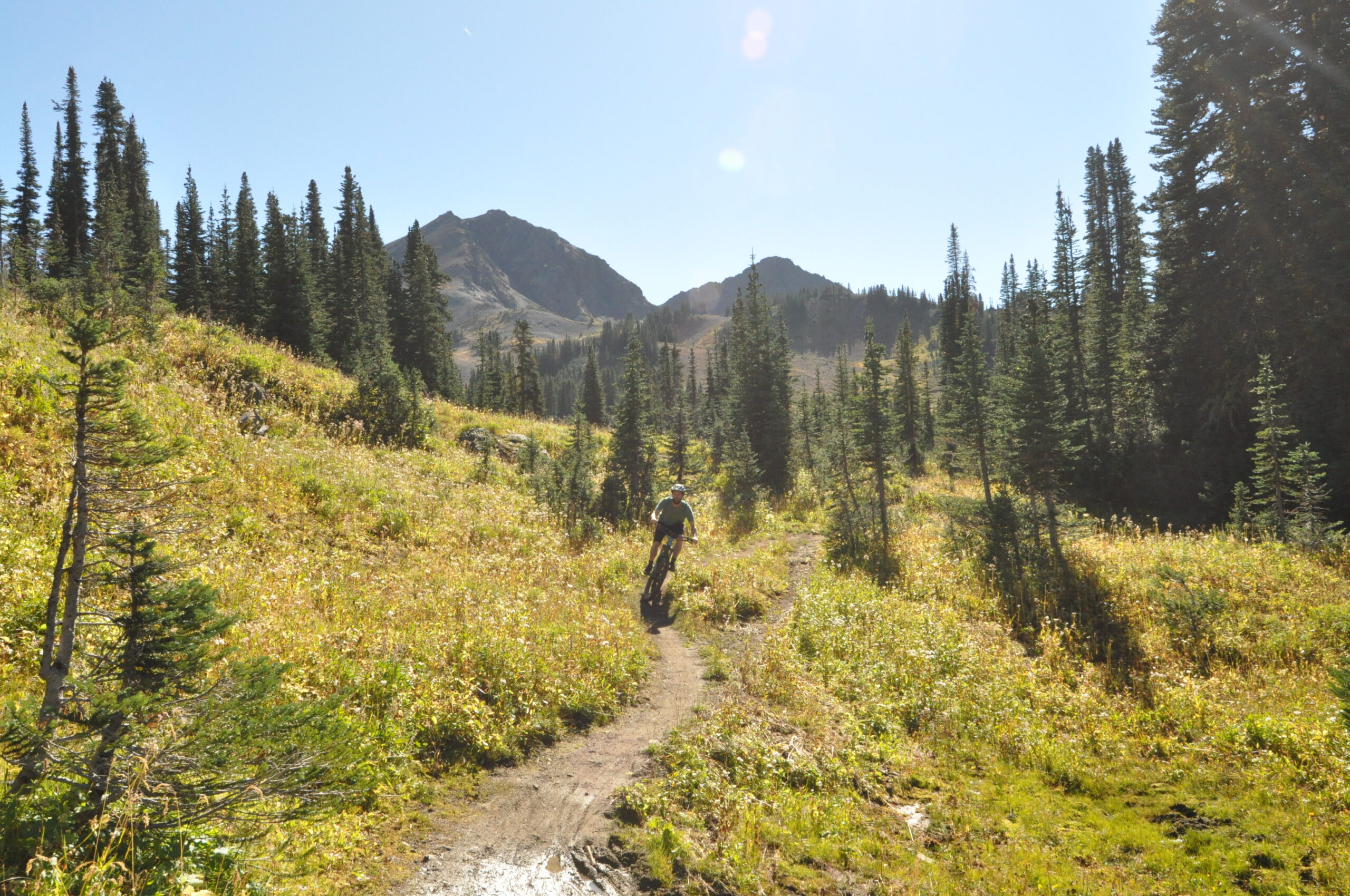
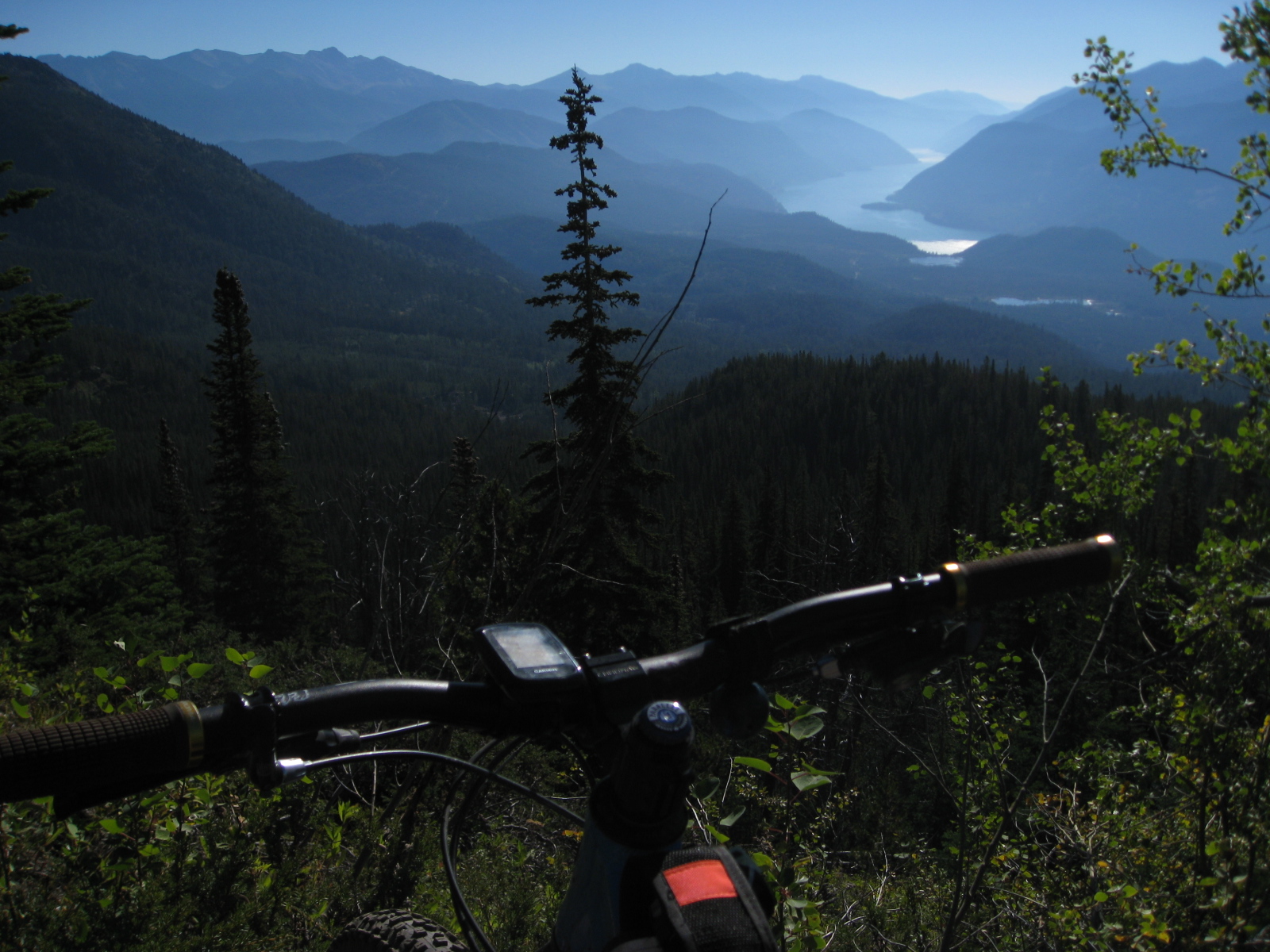
As we got closer to Spruce Lake though, we had to turn off the creek and head up Gun Meadows trail, which ascends 300m in about 3 km. Neither of us were in endurance shape, so this was a big push late in a good day’s ride.
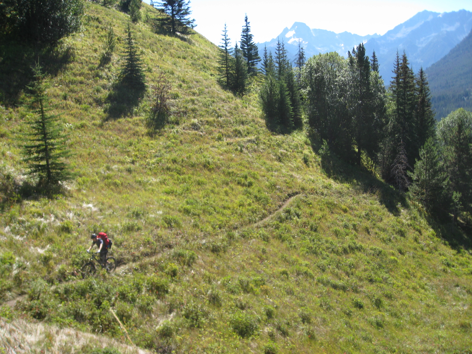
The views were welcome though, the first real views of the trip so far. I was already in awe, and we weren’t even really up there yet. We started the day at 1000m, and after about 32km of riding we ended the day at just under 1600m.
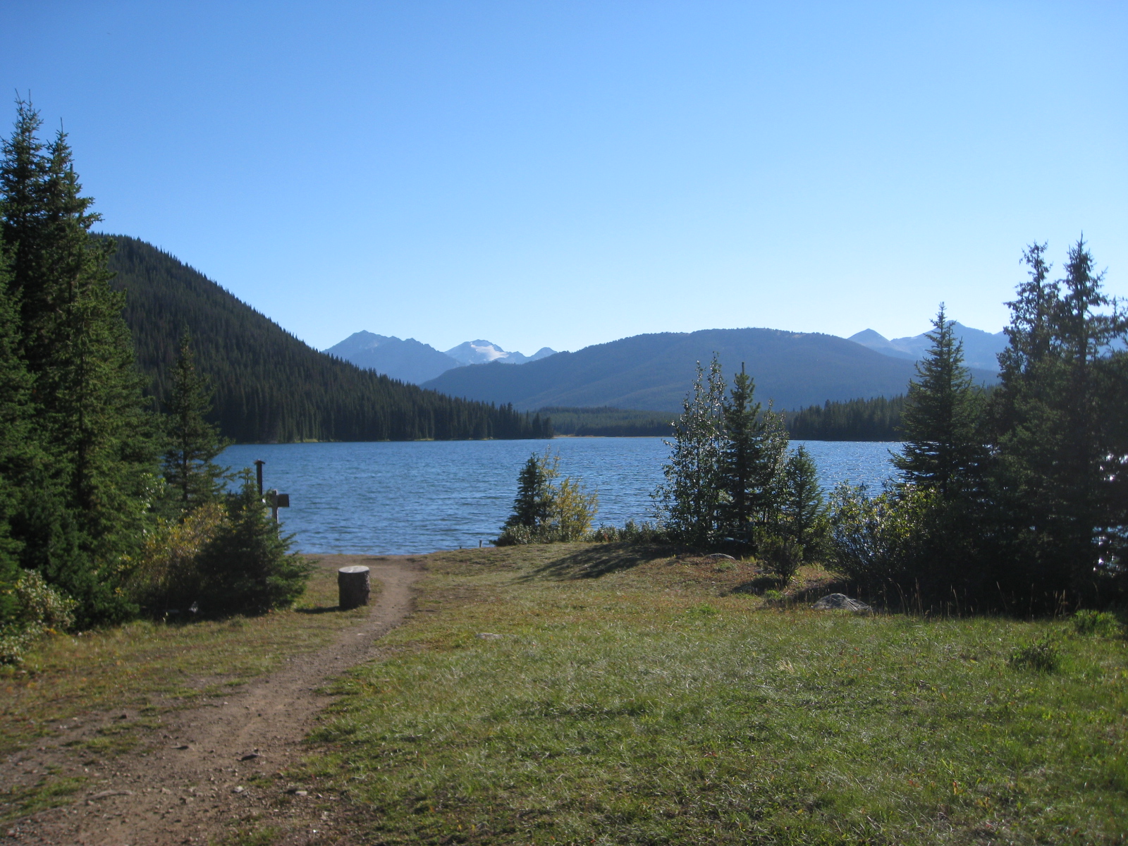
We rolled into Spruce Lake tired and hungry. We found the campground immediately but that’s not where we were staying. Having not seen anyone all day, we felt the remoteness.
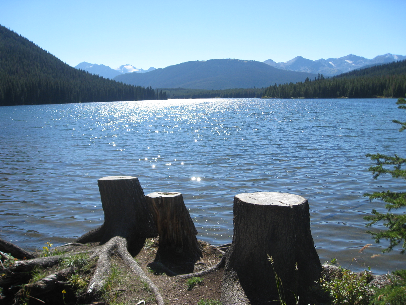
We also couldn’t find our camp, and began to get stressed out since it was quite late in the day at this point. We started calling out, finally locating camp just around the lake a bit further than we expected.
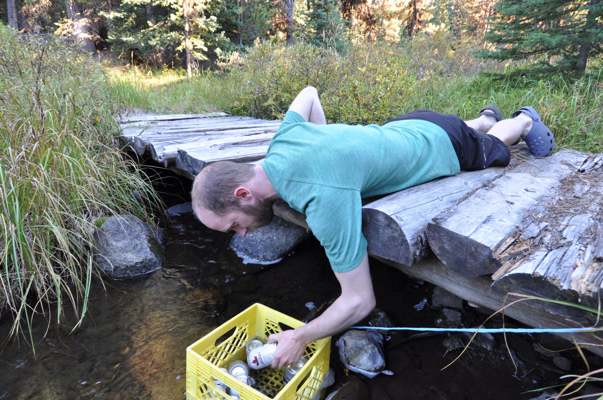
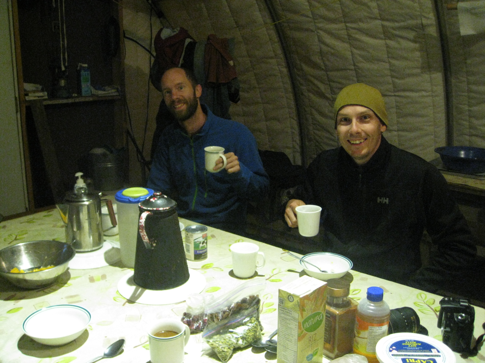
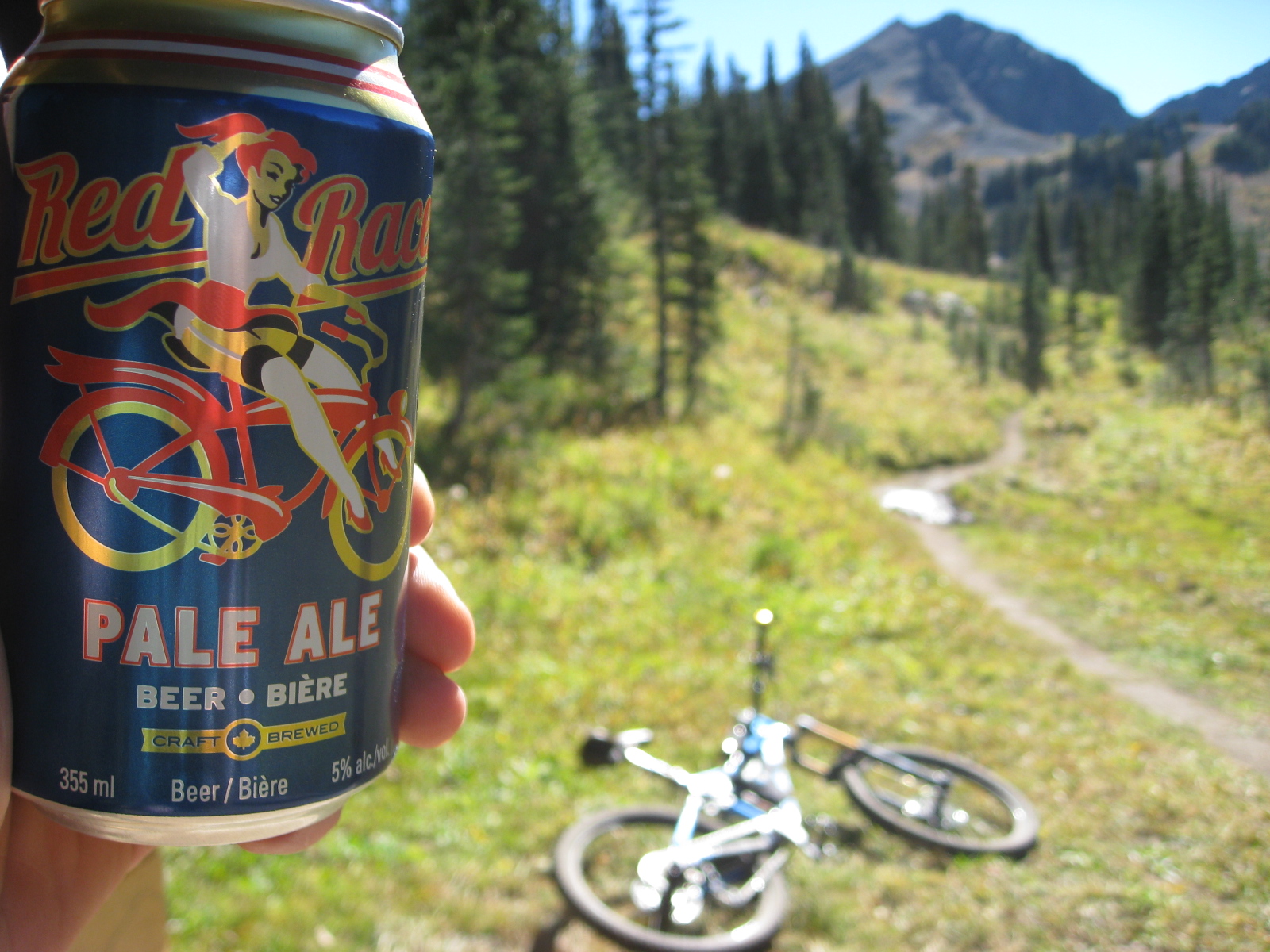
We were greeted by our host, who would be making us dinner, who had fresh watermelon and assorted fruit for us. It was absolutely glorious, and the $200 cost of this camp night already felt worthwhile. There was even an option to have beer brought to camp for you, which we happily paid the premium for. They were cooling in the creek when we arrived.
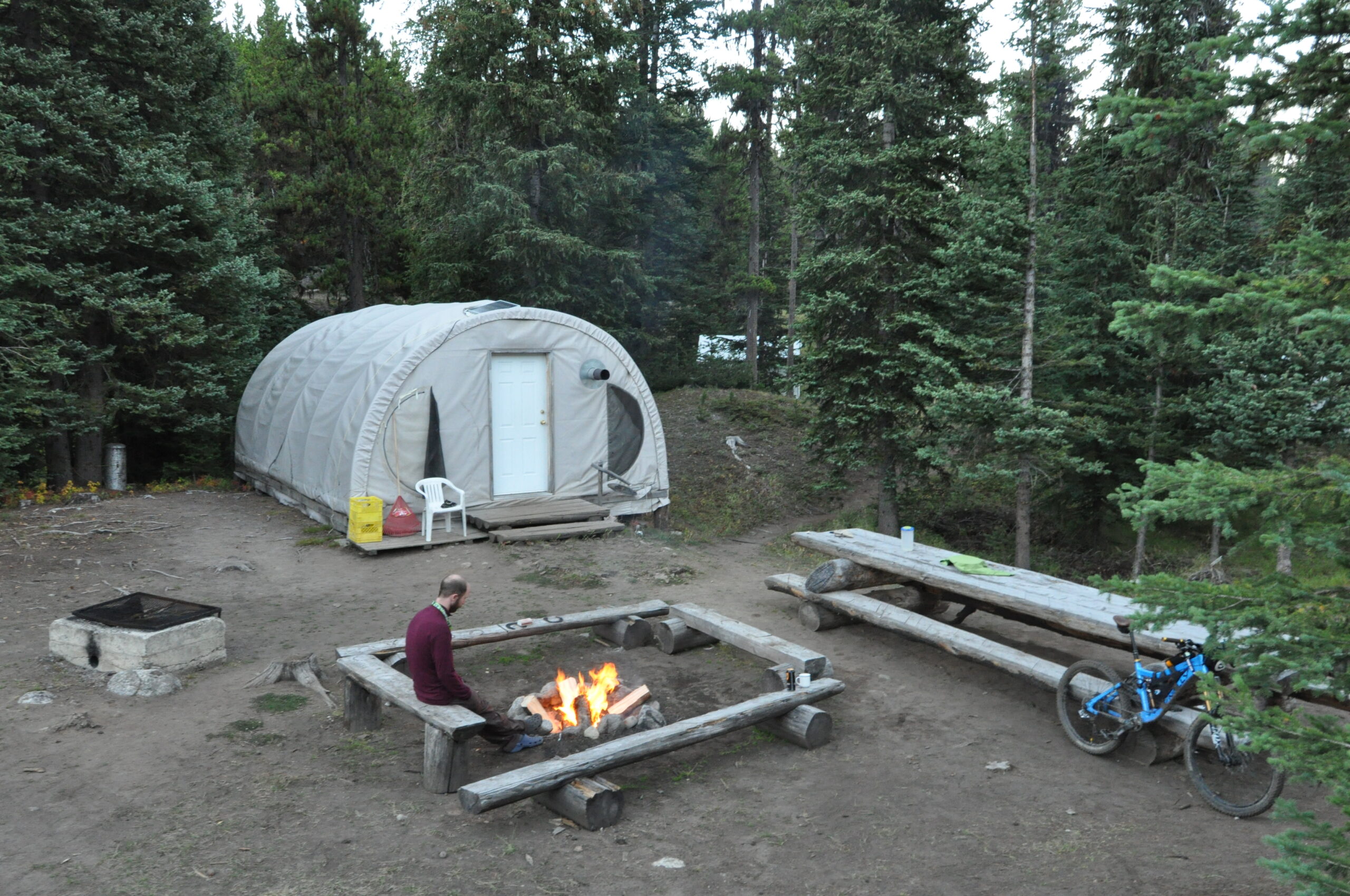
We spent the remaining daylight exploring our surroundings a little bit before settling in for dinner.
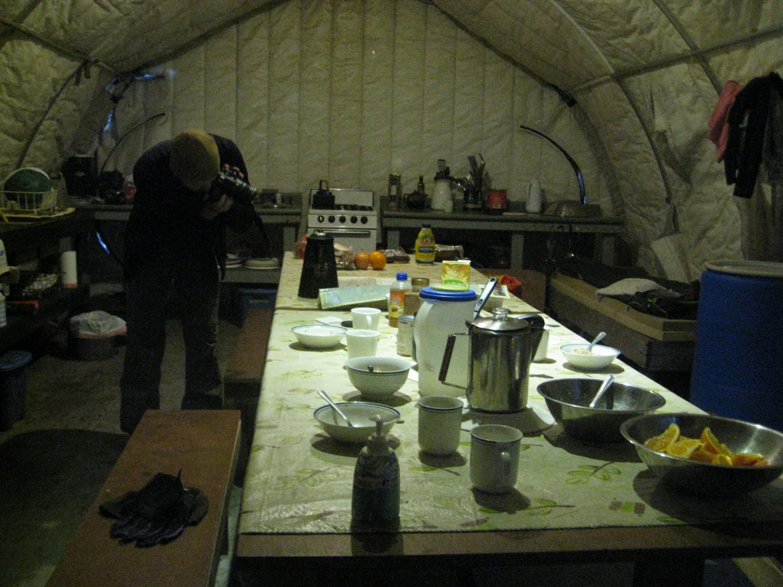
Dinner was cooked and served in a dining tent a little ways from our sleeping quarters for obvious bear-related reasons. I believe it was a chicken curry, if memory serves, and tasted great after the day’s ride.
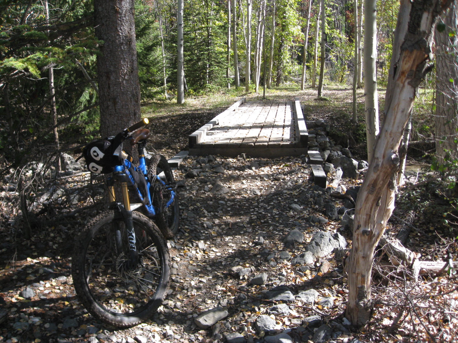
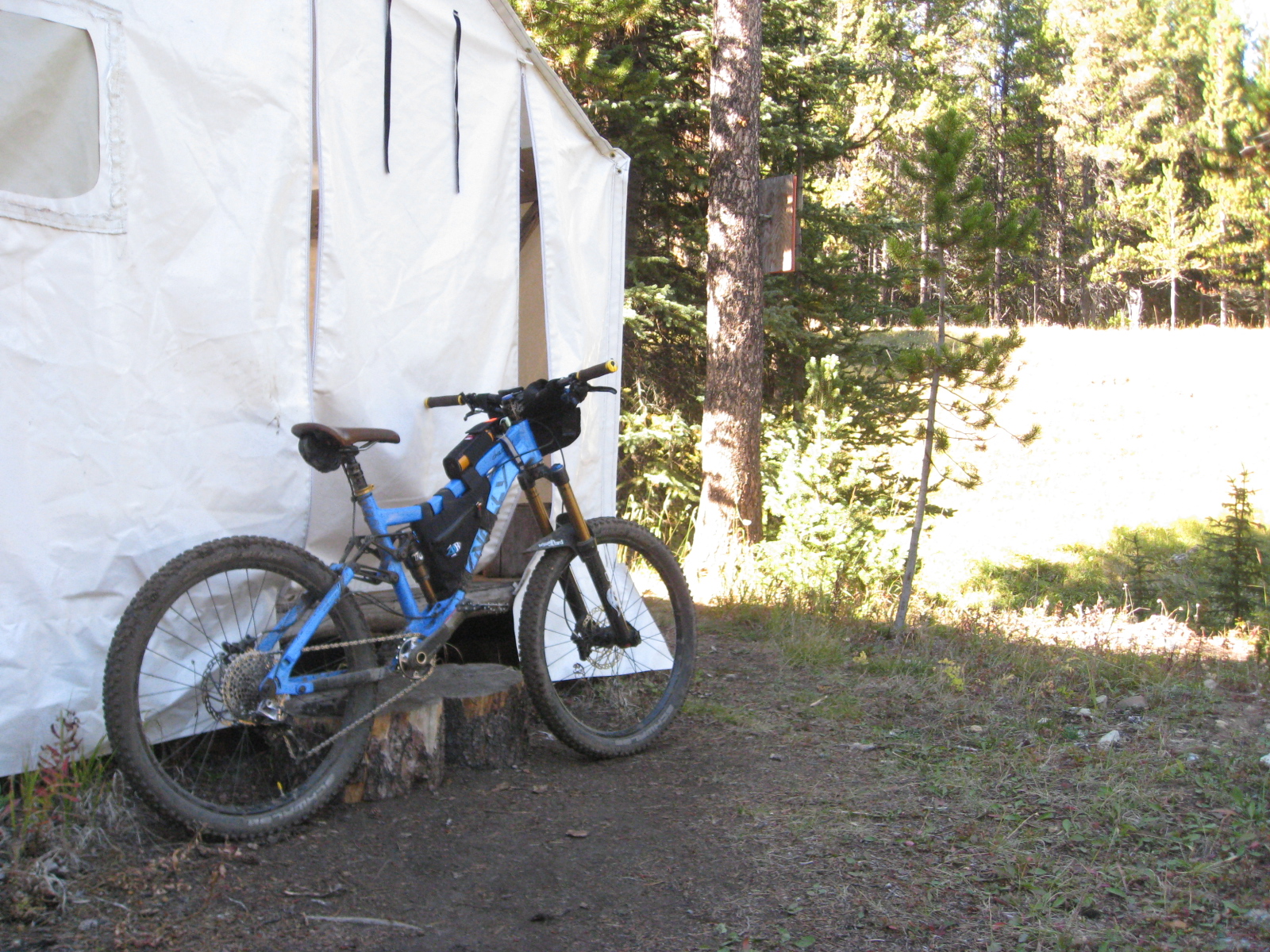
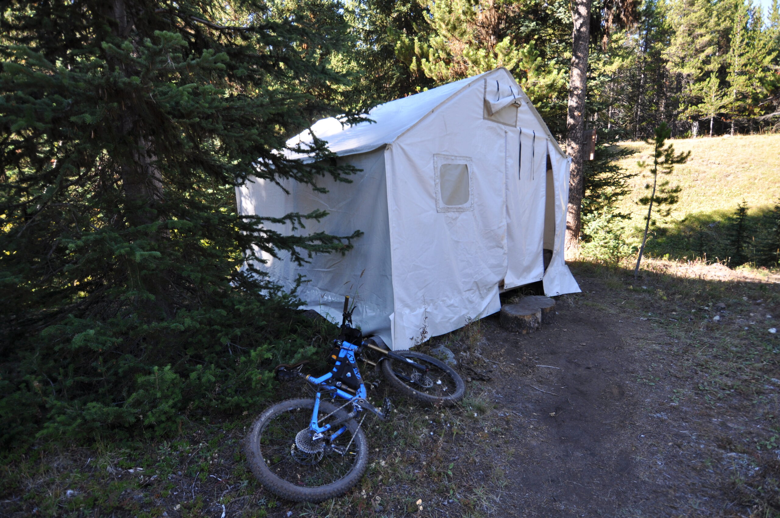
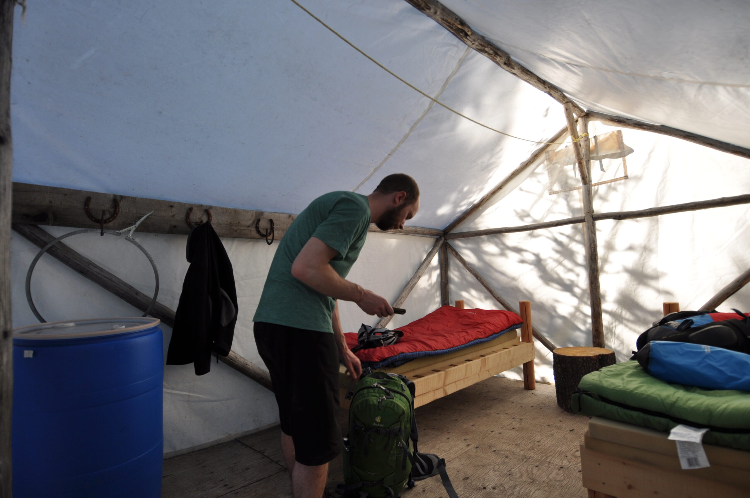
Our sleeping tent shown below. I suppose that fabric would not stop a grizzly bear in the slightest, but it gave us comfort somehow anyway.
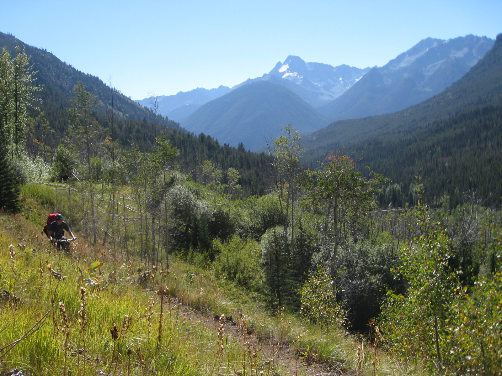
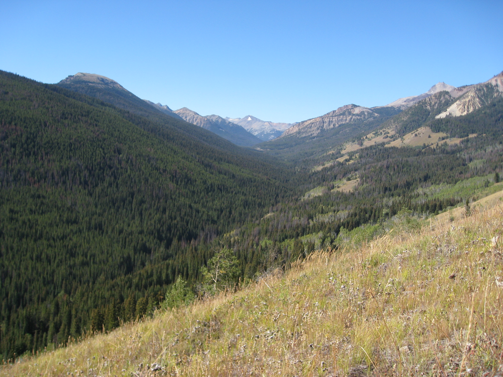
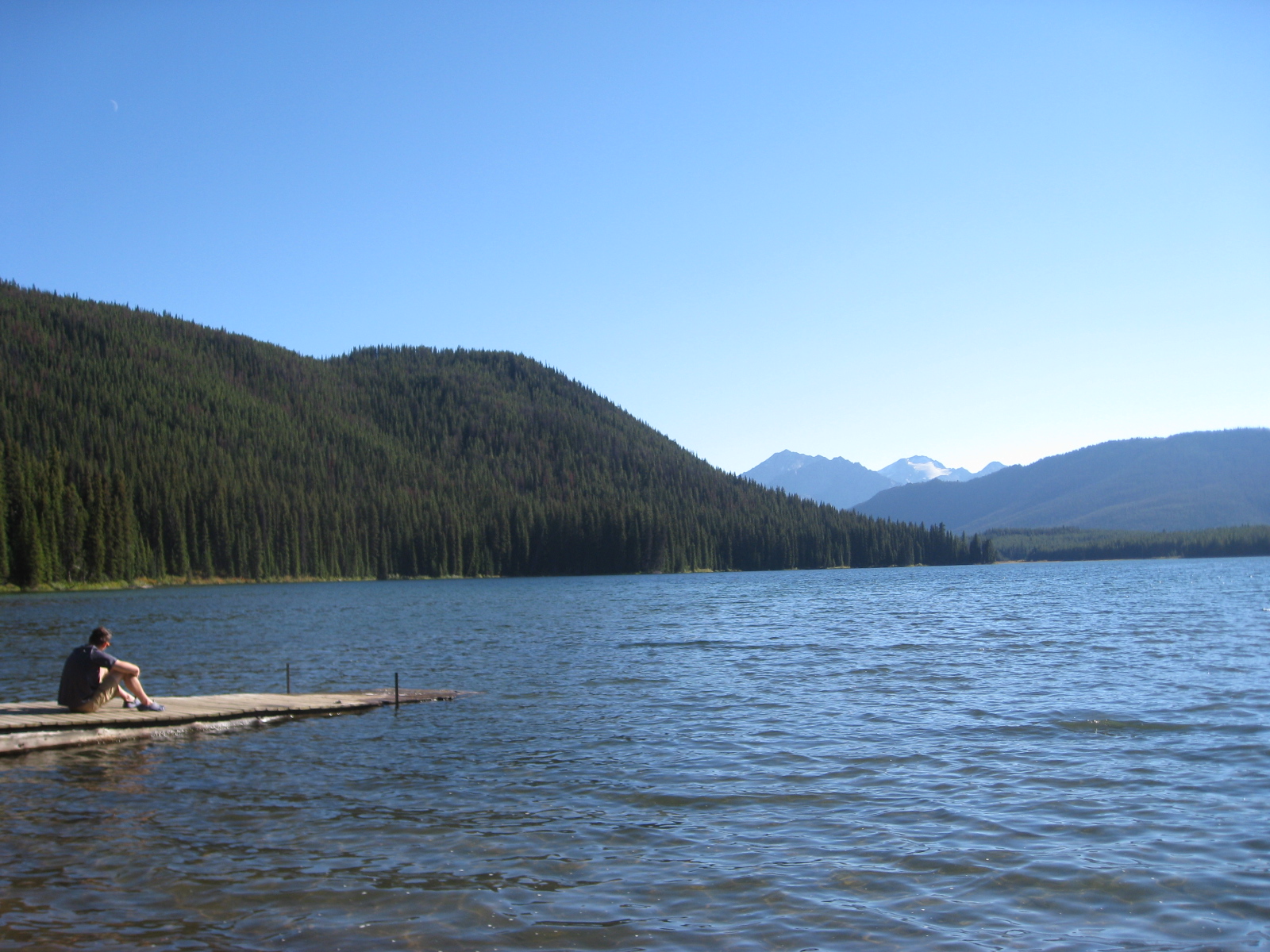
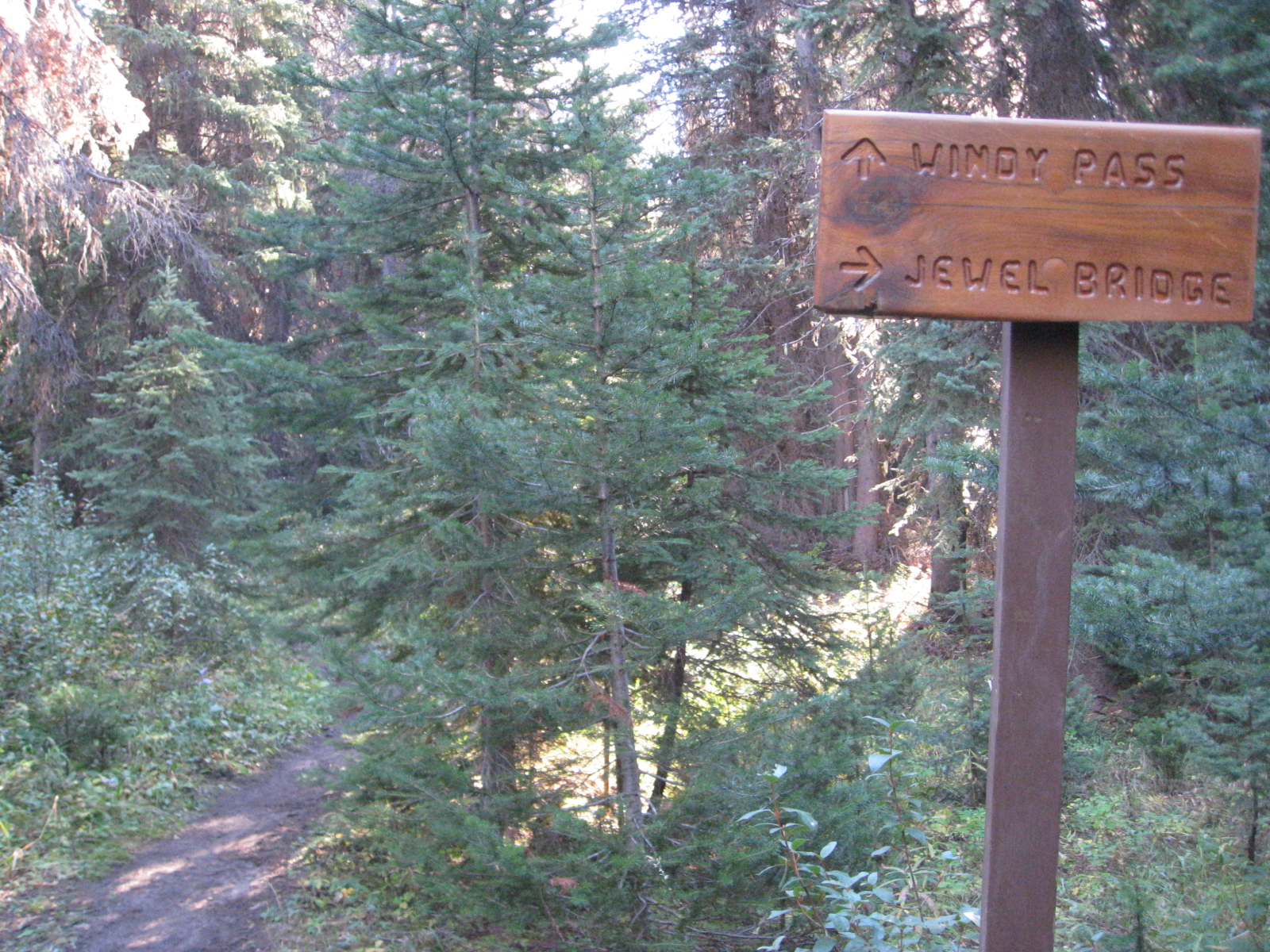
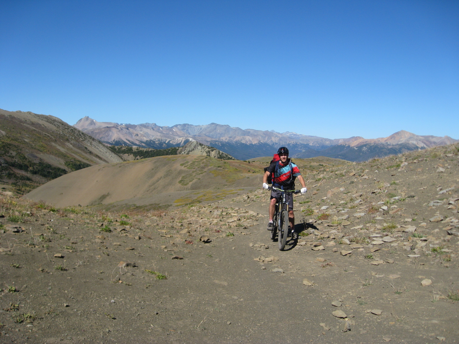
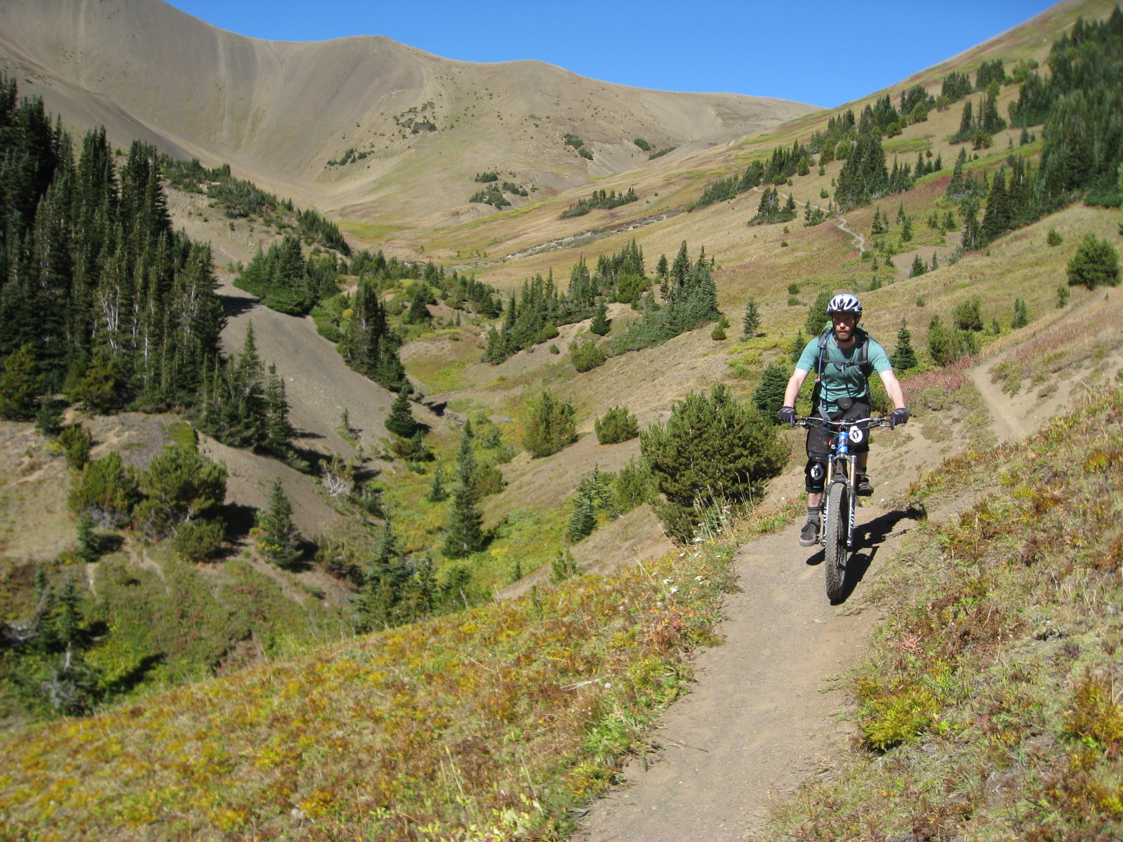
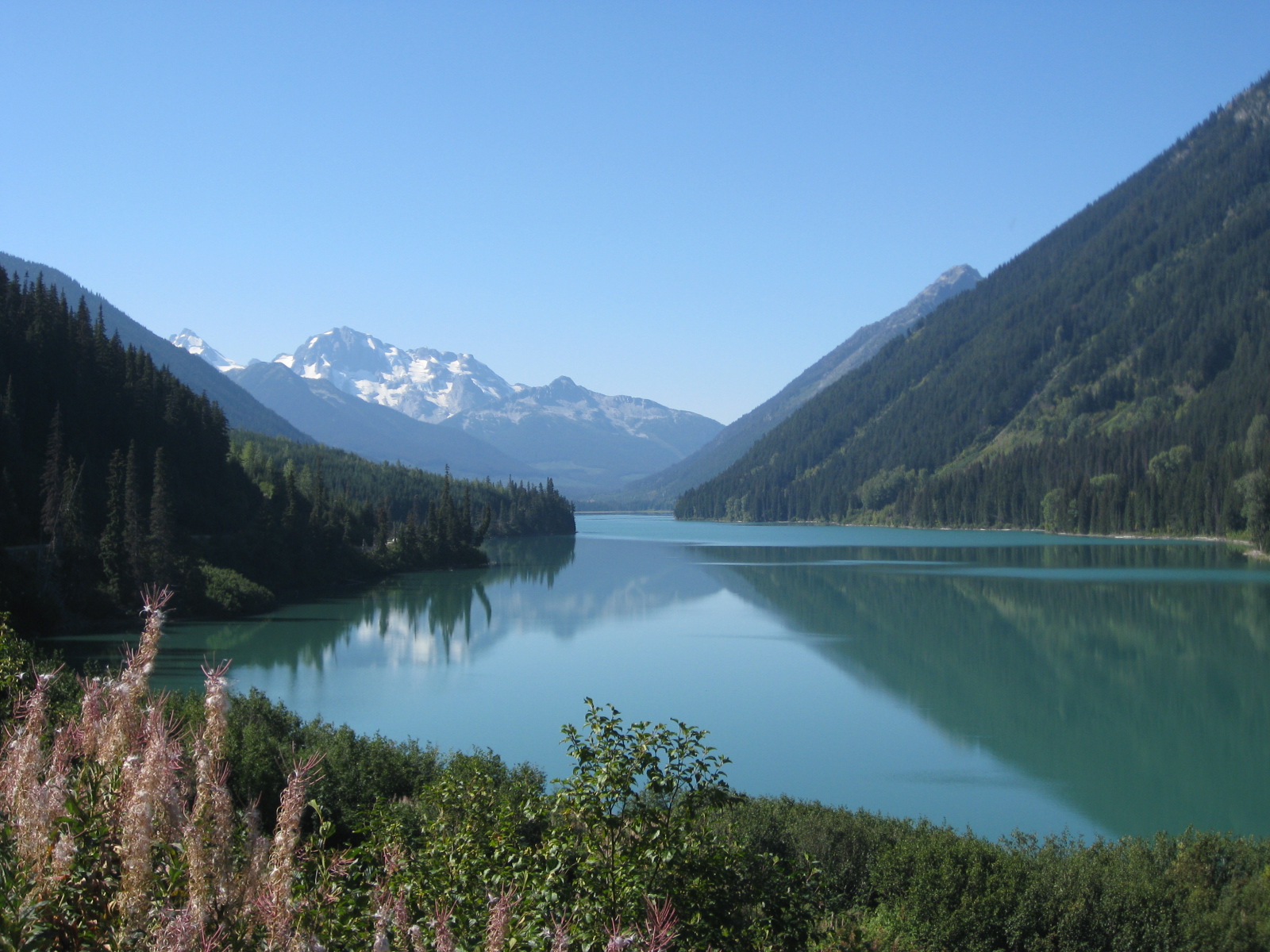
The next day involved climbing up to Windy Pass, the high point of our route. The trail we took was aptly named High Trail, climbing 600m over only a few km, along a mostly treed flank of what turned out to be a gorgeous valley once viewed from near the top of the trail. Most of this climb was spent pushing our bikes as the grade was unrelentingly steep.
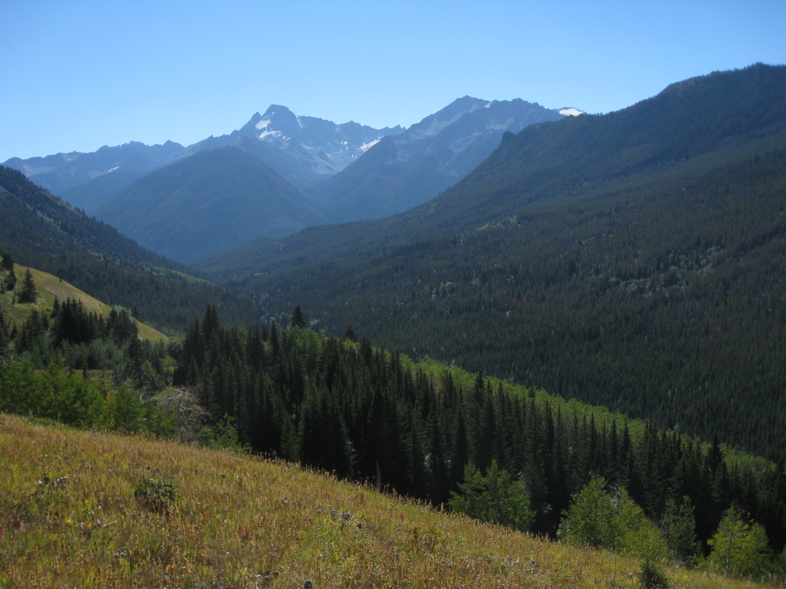
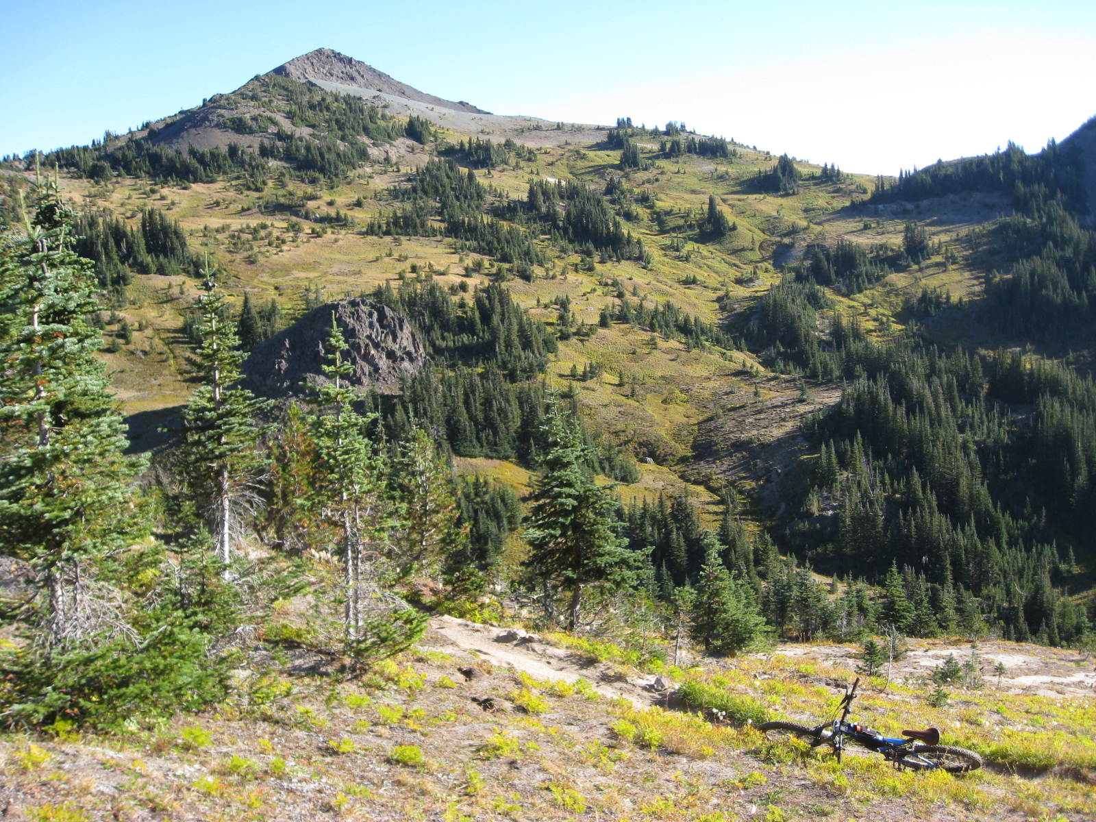
Below was down near the bottom of this valley; the second photo viewed from after a bunch of climbing. Note how much of the mountains in the background opened up.
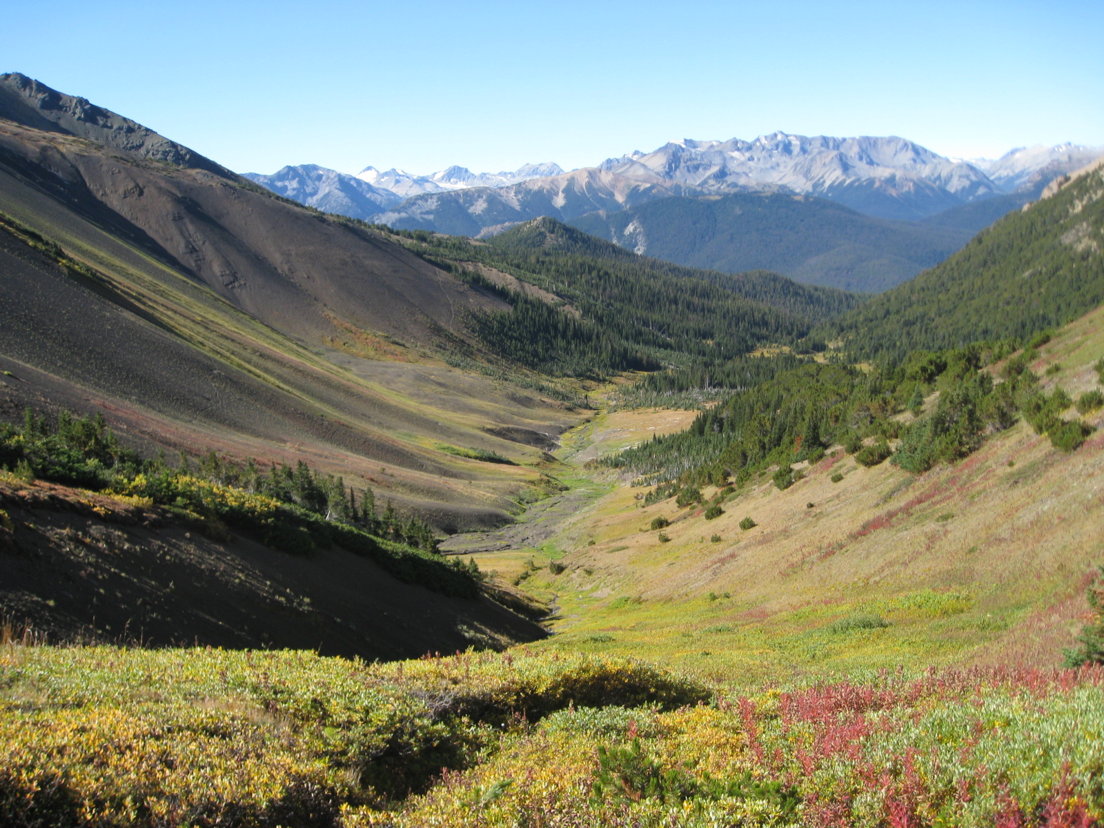
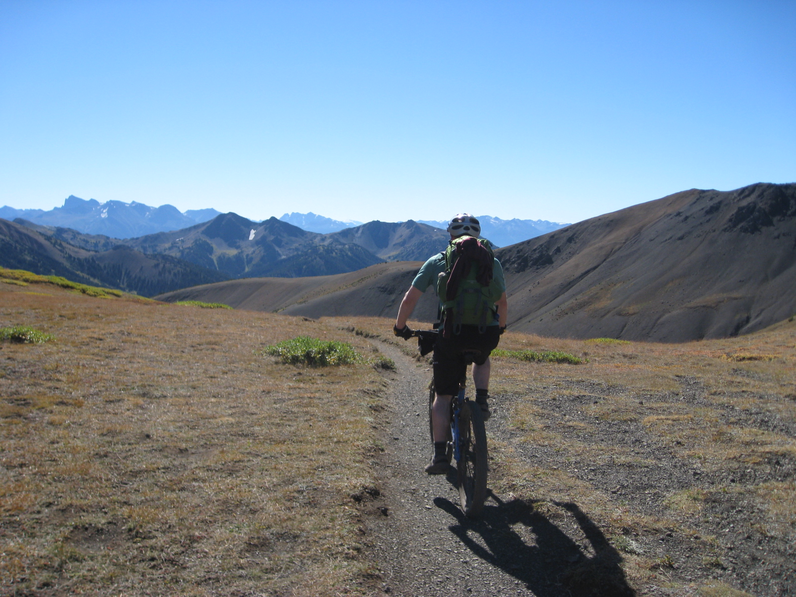
The above photo was taken just before we would climb out of the trees, and up to the saddle shaped pass.
It was also taken just before we noticed grizzlies on the hillside across from us – at first we saw one, then realized there were a whole crew of grizzlies on the open hillside, hunting marmots.
They were across the valley from us, roughly 500 feet away, which felt somewhat comfortable – until I saw one run, and realized they were in fact only seconds away from us. As a result, we kept moving pretty quick until over the pass, where we felt a comfortable distance had been put between us. We had bear bangers and bear spray at the ready.
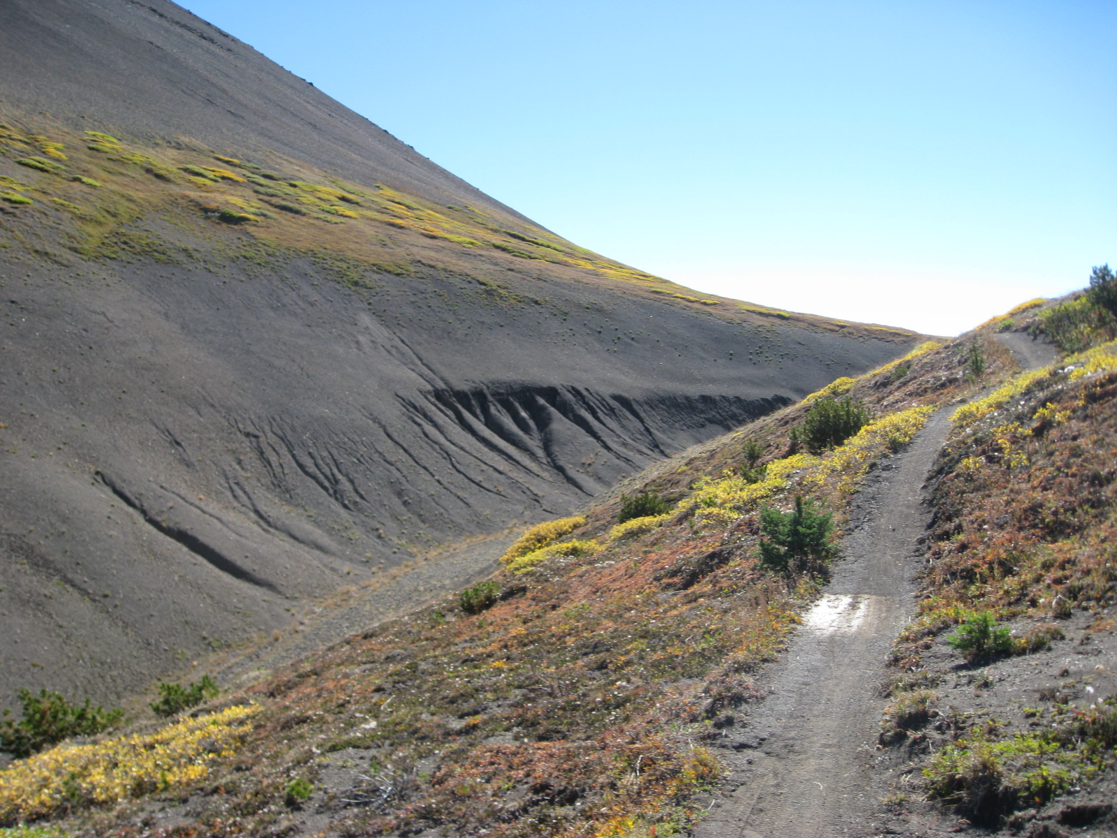
Up top, we were truly above the tree line, and it felt like another world.
It was a shame that we didn’t feel comfortable lingering on the pass, because the panoramic views from above the tree line were perhaps the best of the trip. It was actually going to be our lunch spot, until we felt like we could also be lunch. We stopped long enough to get photos of us on top of the pass (below), then kept going.
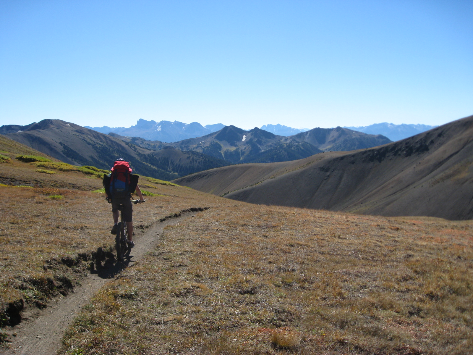
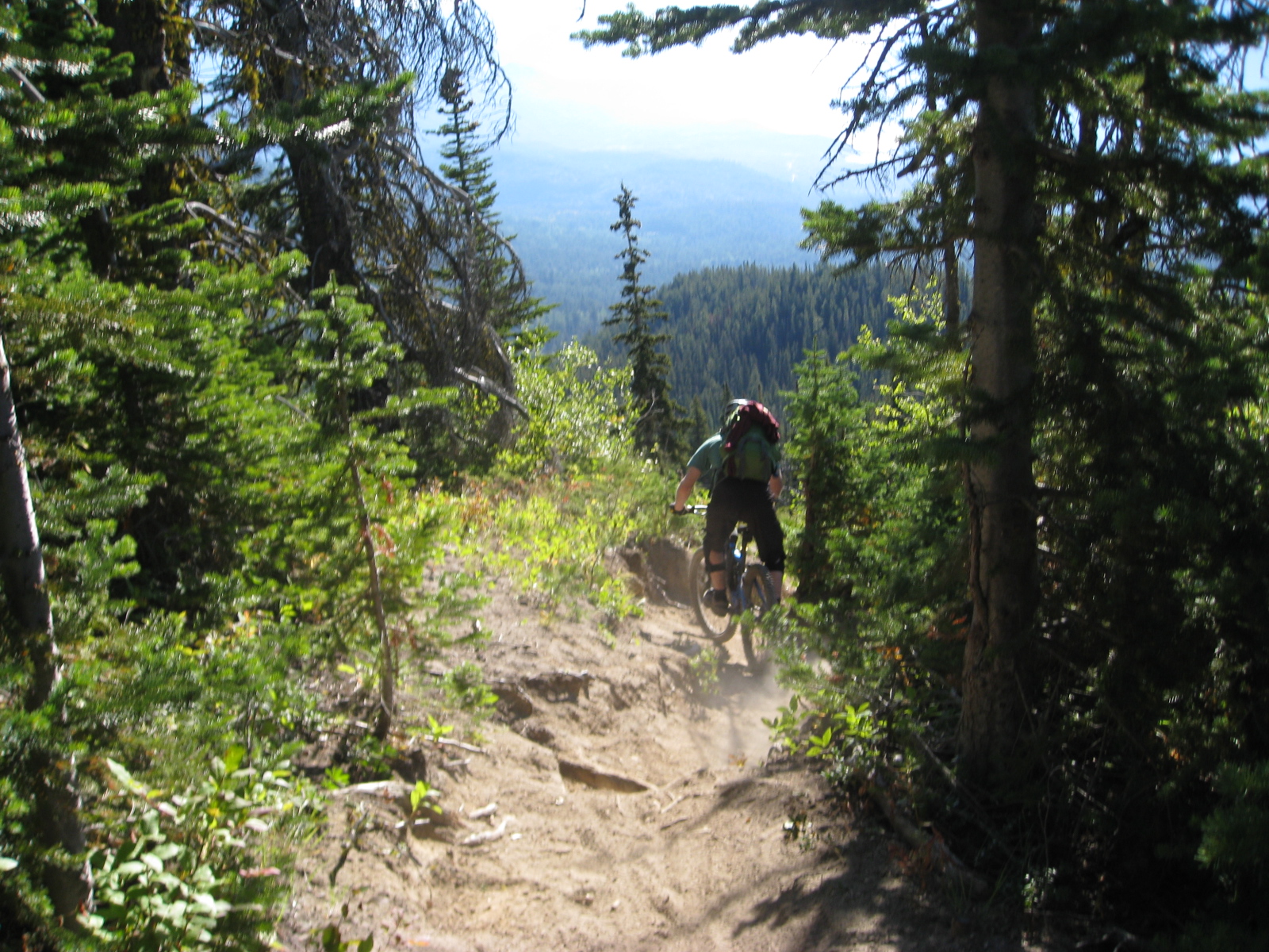
The climb to this pass was about 4km, mostly hiking, and the descent was about 2km into the flatter meadow area. The descent was awesome, and if we hadn’t stopped for photos, it would have been over in a flash.
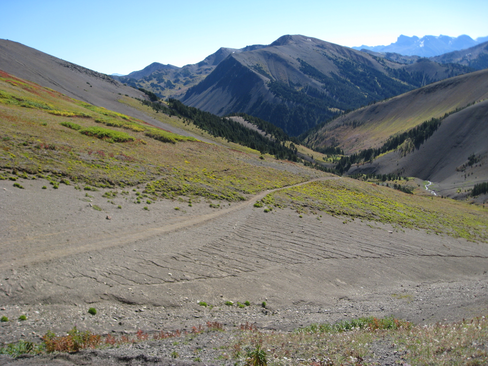
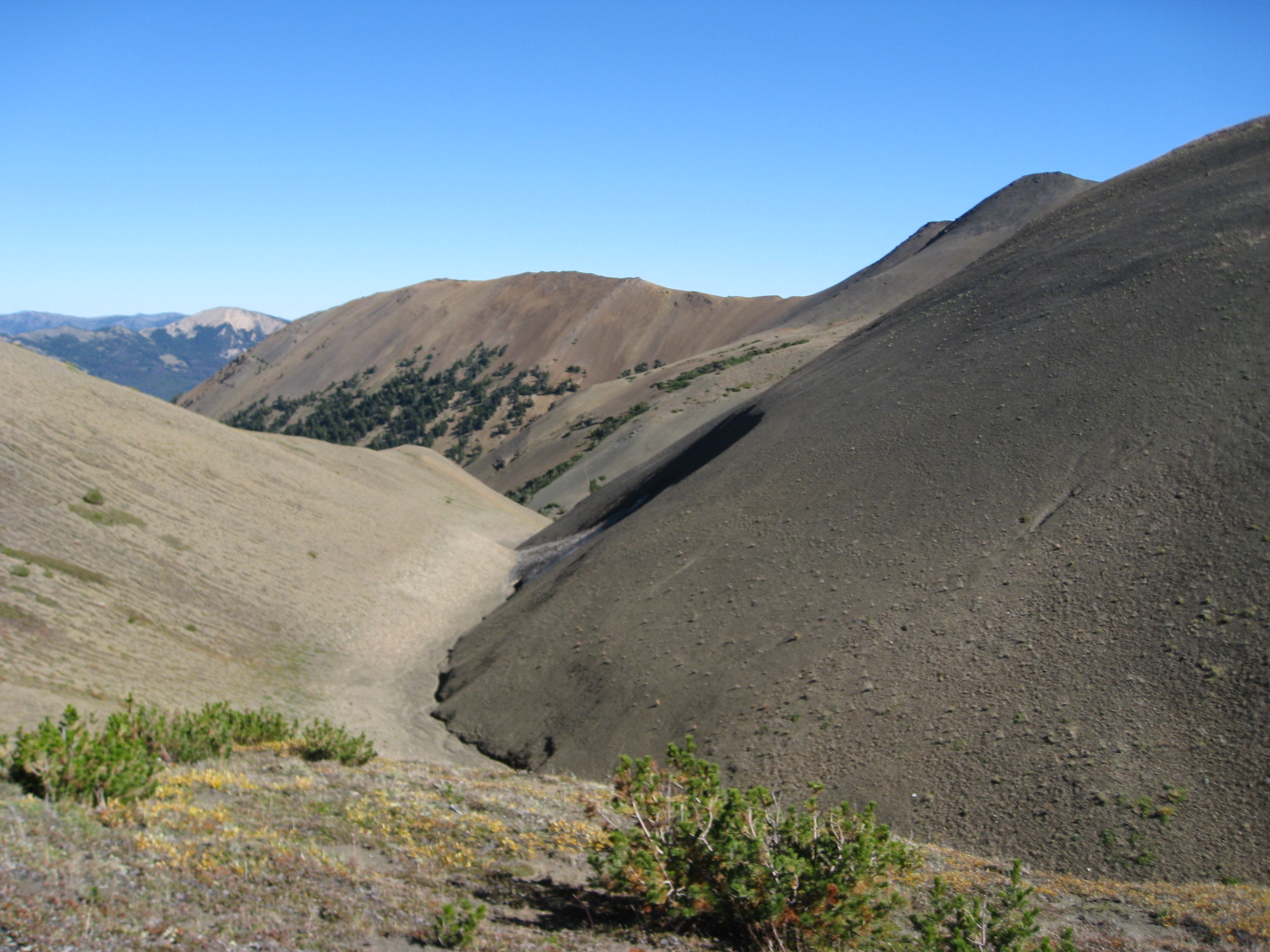
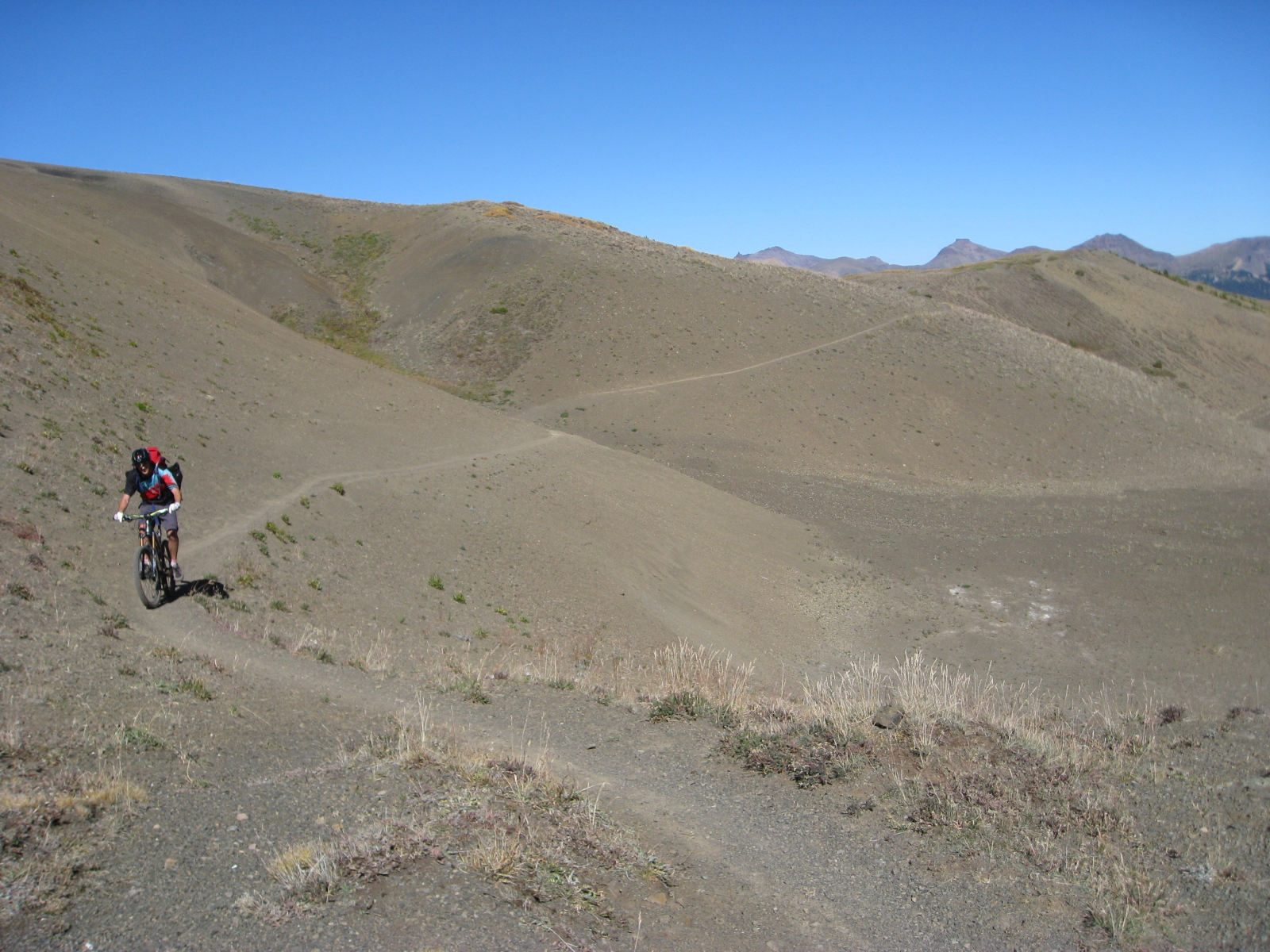
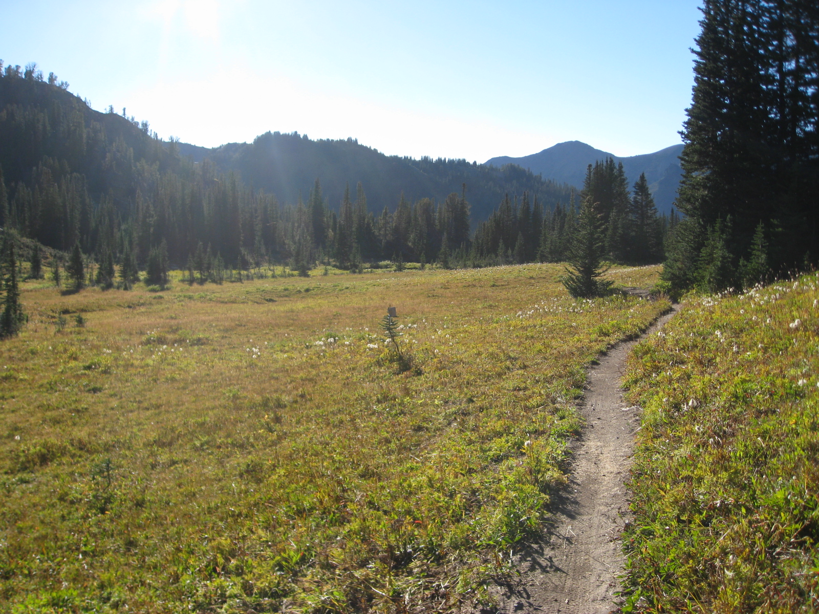
Above, the final stretch of riding on the moon before returning to more substantial vegetation. The photo below is taken along the trees in the distance of the above photo, with the pass we had just crossed over in the distance.
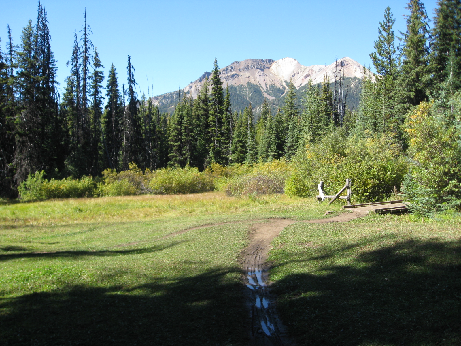
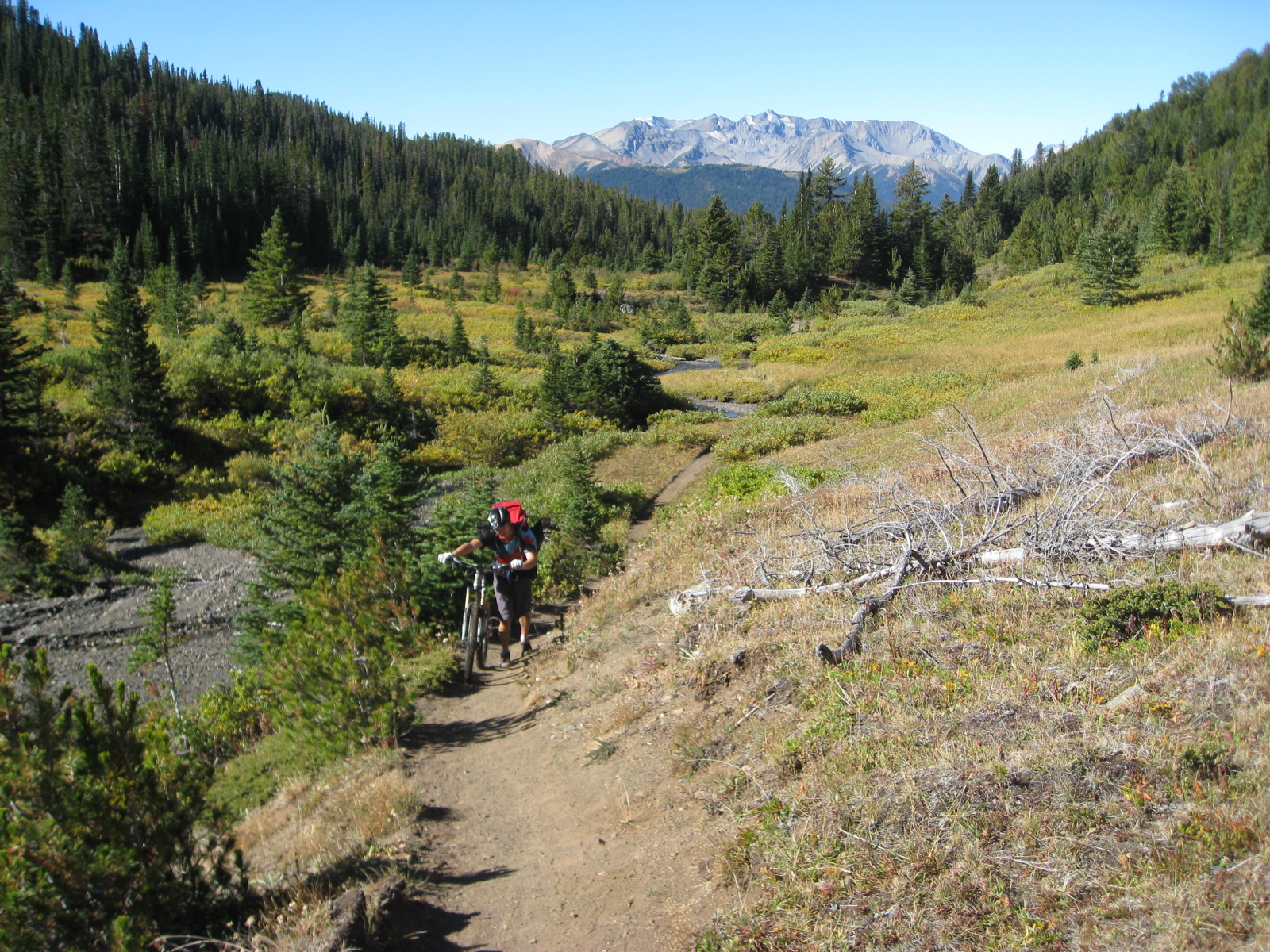
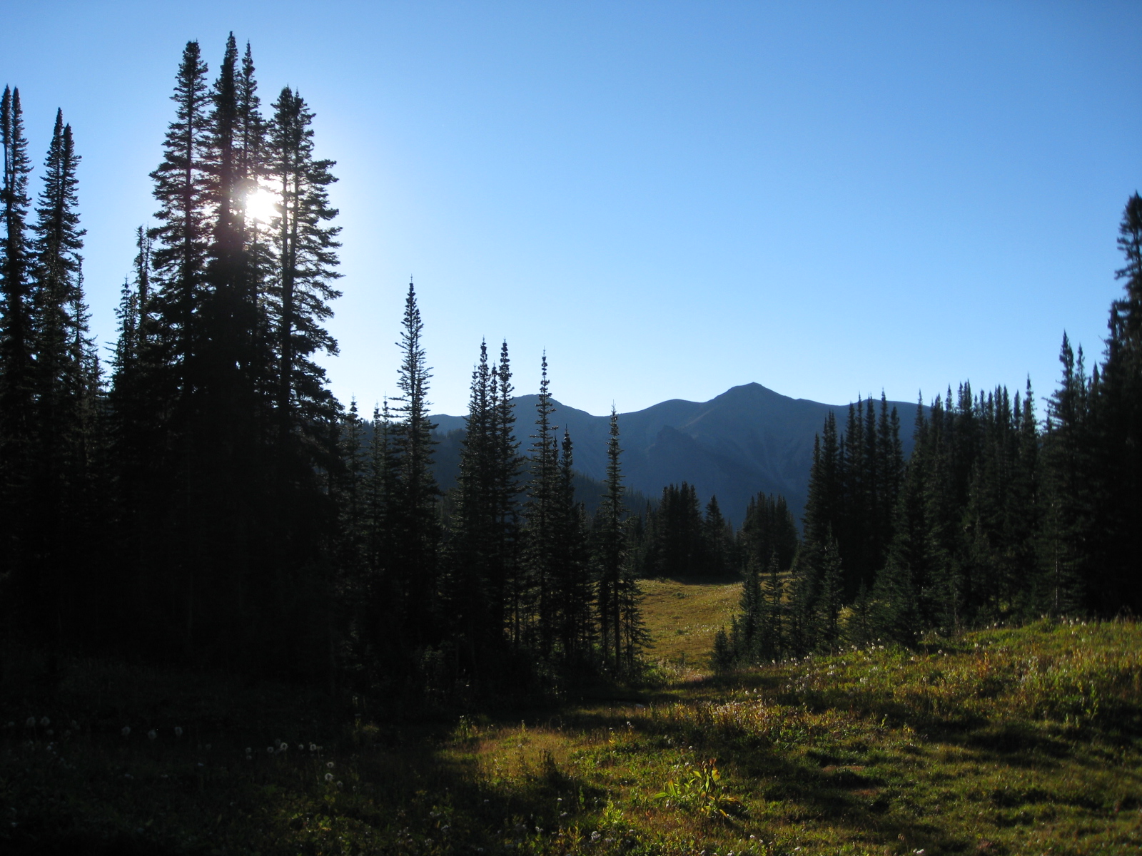
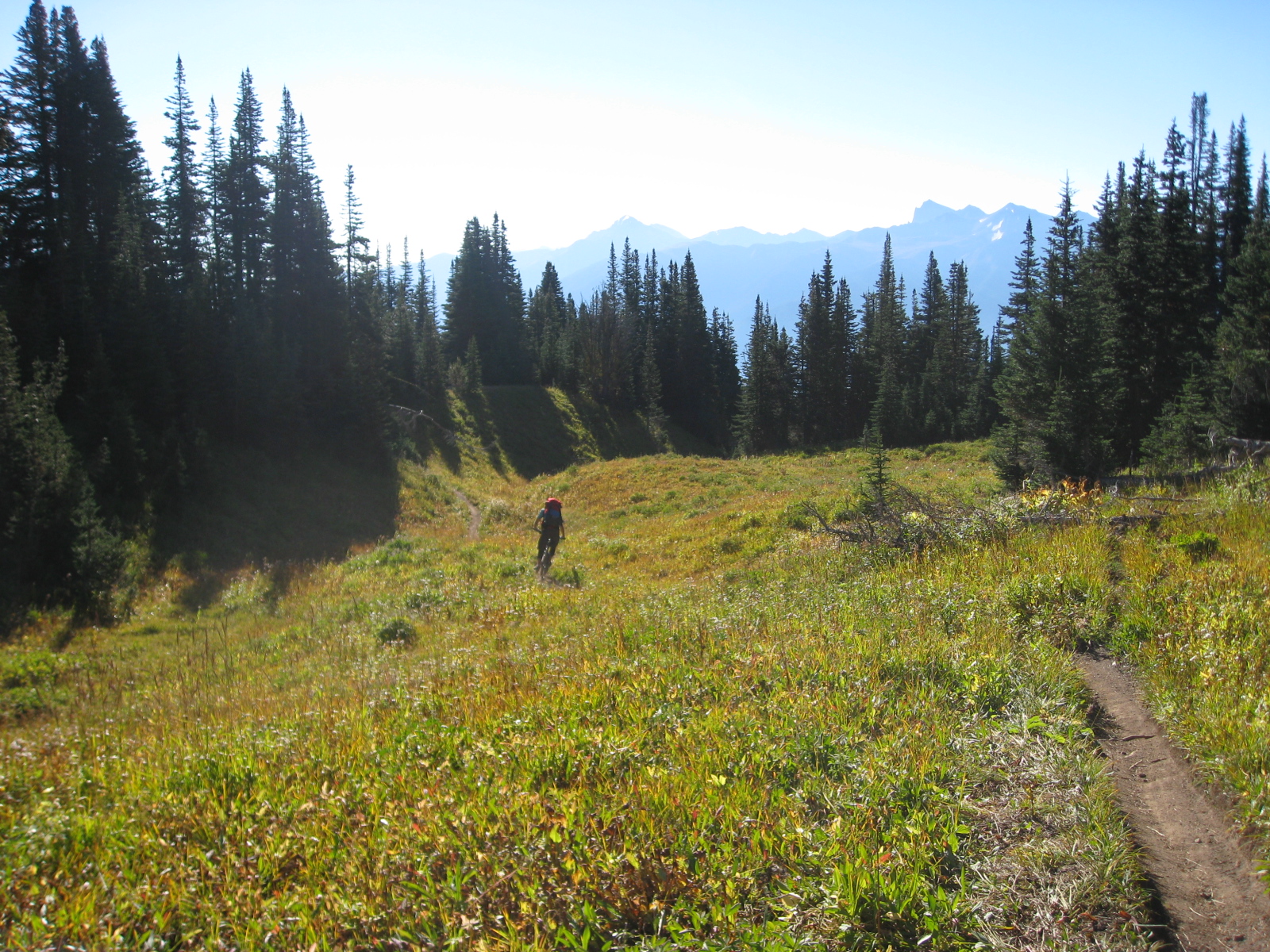
At the bottom of the hill, the valley opened up into a beautiful sub-alpine meadow. Below is the split between High Trail to the right, and Taylor Creek to the left.
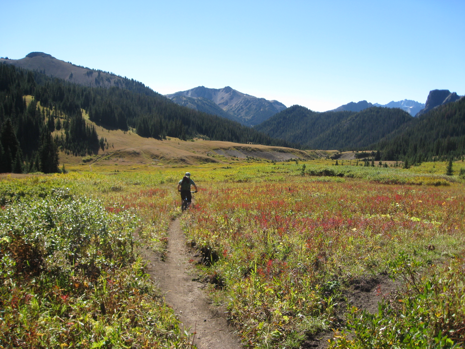
Owing in large part to how little time we spent up on the pass due to bear activity, we found ourselves on the final couple km of our day’s ride barely after noon, so we took our time and soaked in the beauty of the meadows.
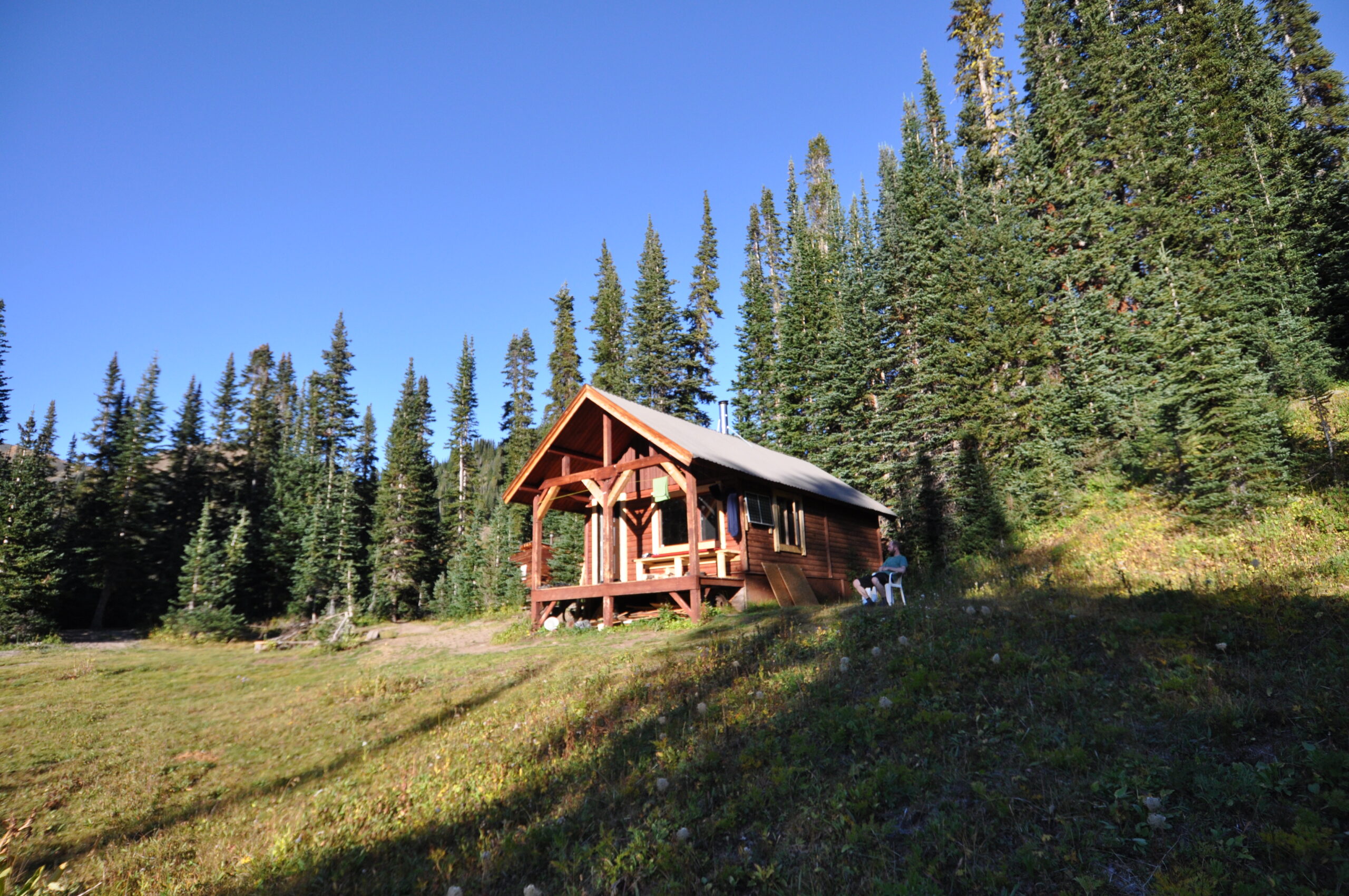
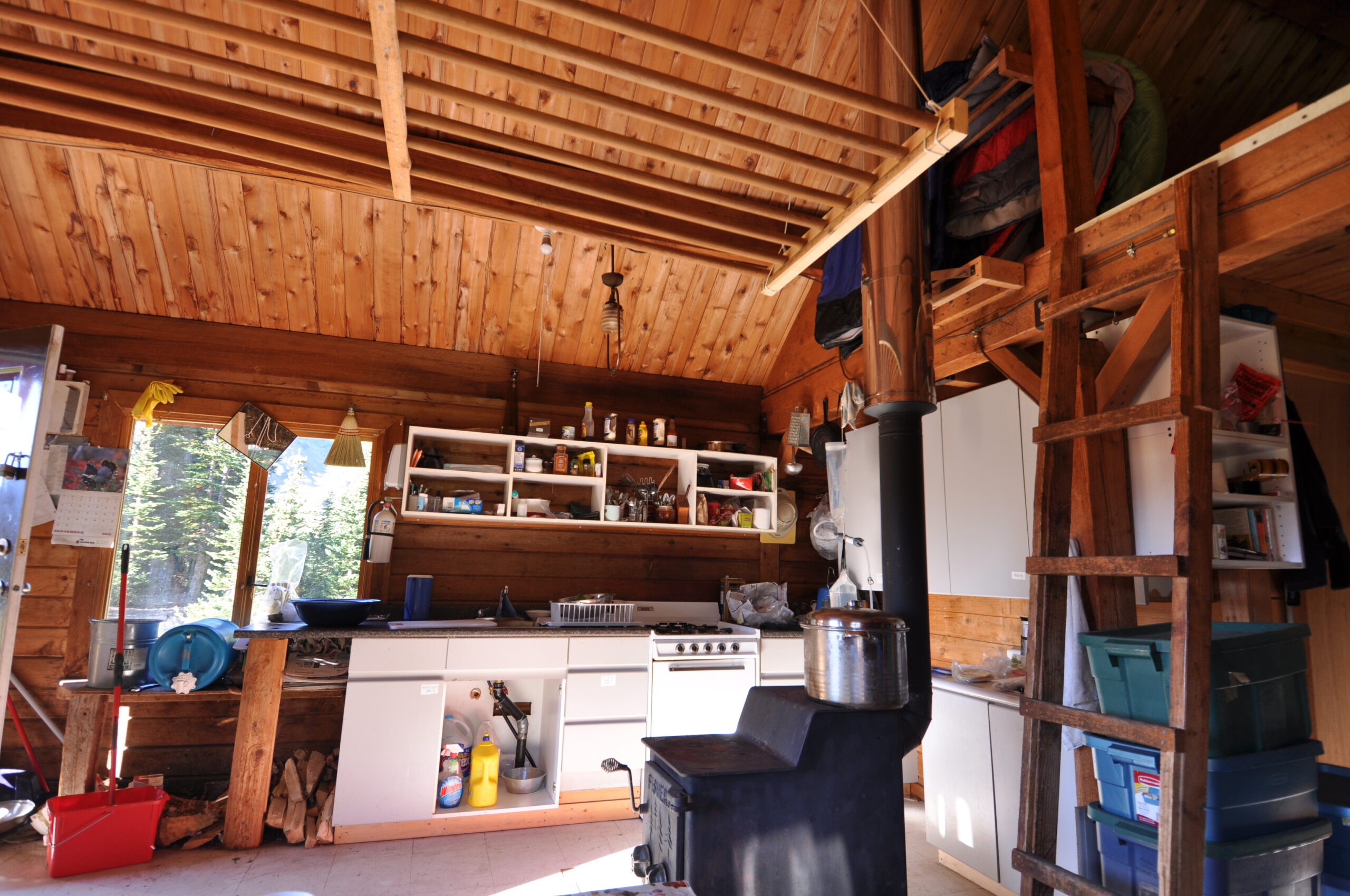
We reached Eldorado cabin in the early afternoon, where a beer each awaited us. Our options were limited to what was available at the Lillooet liquor store, but I was completely happy with a decent pale ale given the circumstances!
Eldorado cabin is a popular backcountry ski spot in the winter, but an equally great bike or hike spot in the summer.
Day three was riding from the cabin back down to Tyax, which meant we only had one small climb to start and then it was all downhill, and we didn’t have a ton of ground to cover either. We descended Lick Creek trail.
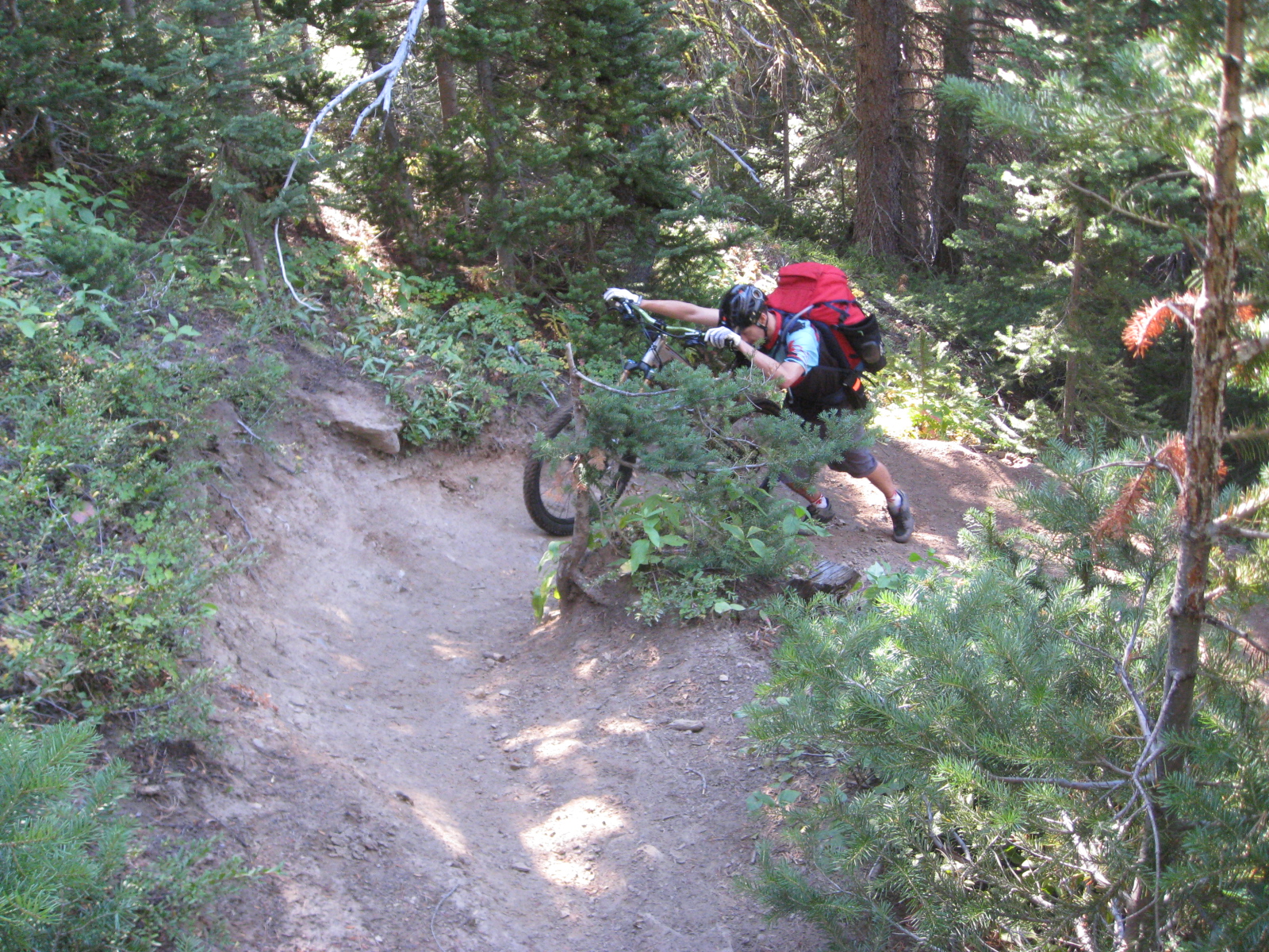
The final descending became a little more steep and loose, adding a bit of spice after a couple days of pretty non-technical riding. The views of the lakes were excellent.
Back at Tyaughten Lake, we enjoyed a relaxing afternoon with early dinner at the lodge.
In the end, it was about 65 km over three days with somewhere around 2500m total elevation. Neither of us were riding more than two hour MTB rides on the local hills at the time, so we played it pretty safe on route ambition. The first day was plenty, but the second and third days we could have easily combined into one. I’m bummed that I was not using Strava/etc at the time, so I don’t have that data to aid with reminiscing, but the memories (and these photos) are plenty.
I hope to go back in 2026, this time aboard my Stooge Scrambler. My endurance and general fitness are well above my 2013 level, so I think I could pedal my way to Lorna and back with the same time frame.
Leave a Reply