I only had one plan today, given the dry and reasonably warm forecast: be outside all day. It started with a long dog walk in the morning, and was followed up by 8 hours out on the bike – turned out to be 4hrs each moving time and not.
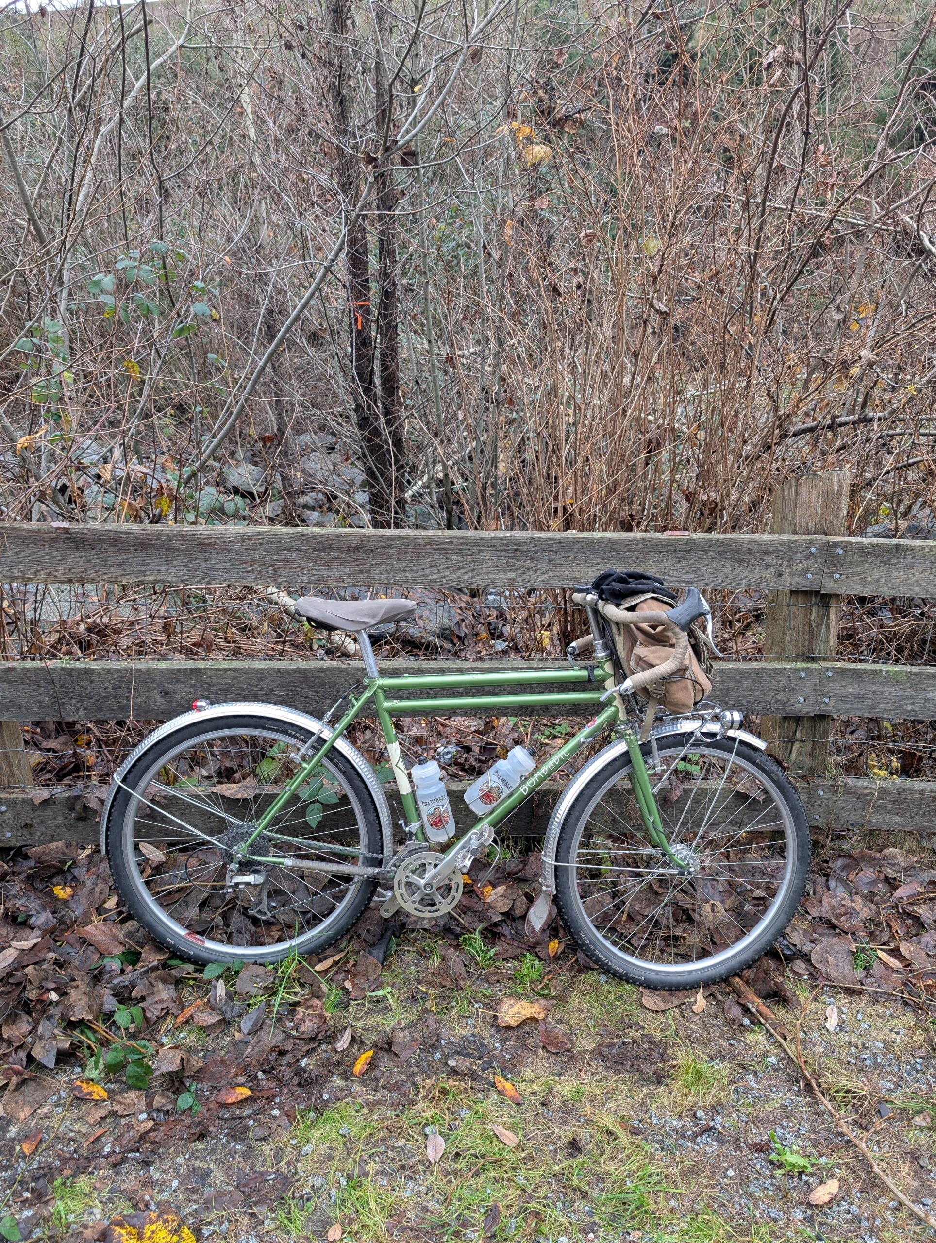
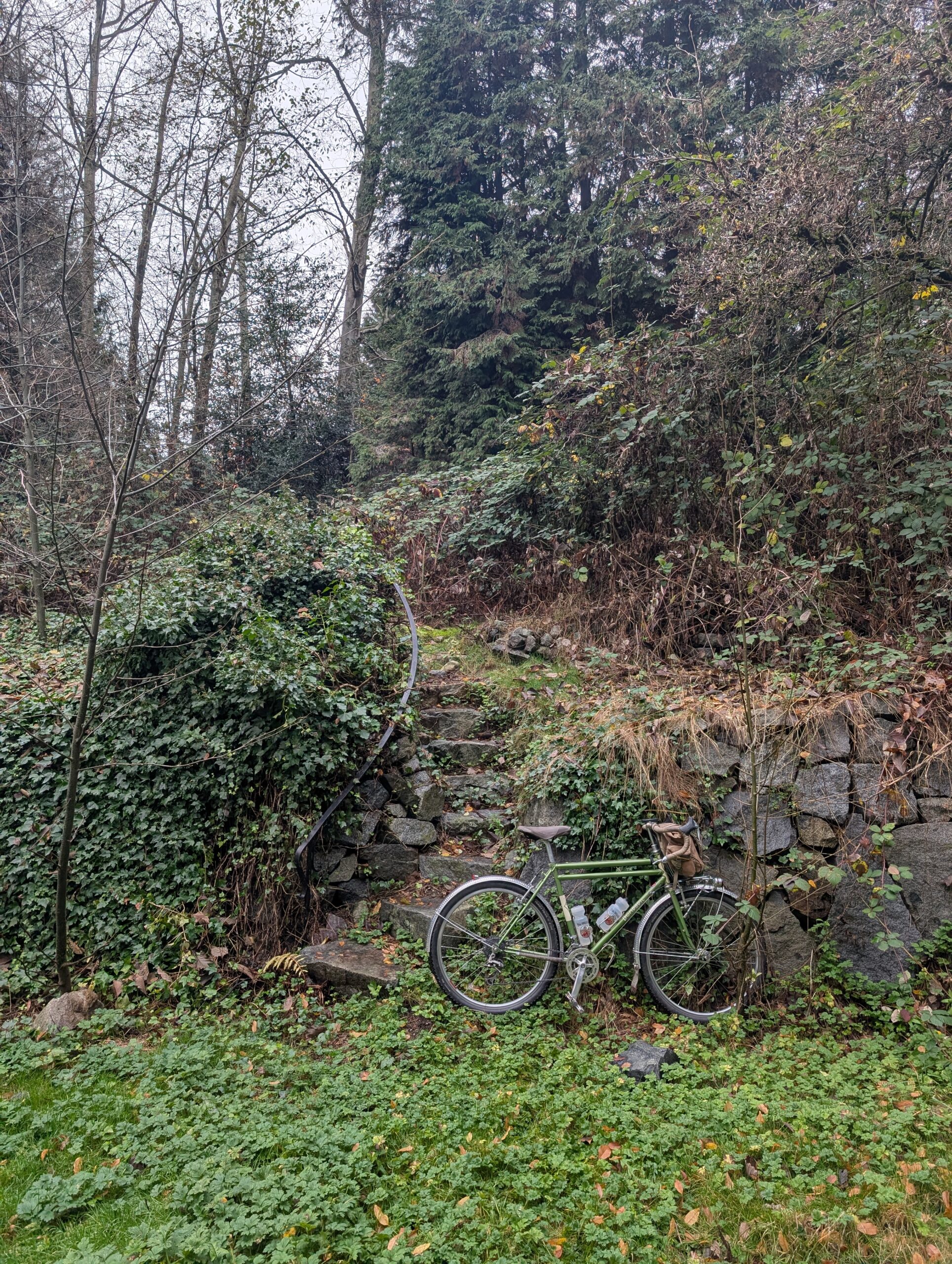
I rode my trusty Bombadil, still outfitted with drop bars. I’ve been riding the Evasion most often lately, partly because it’s new of course, and partly because it’s so capable for an un-rushed ride that has a bit of everything. Which is definitely my preferred, and most common, type of leisure ride.
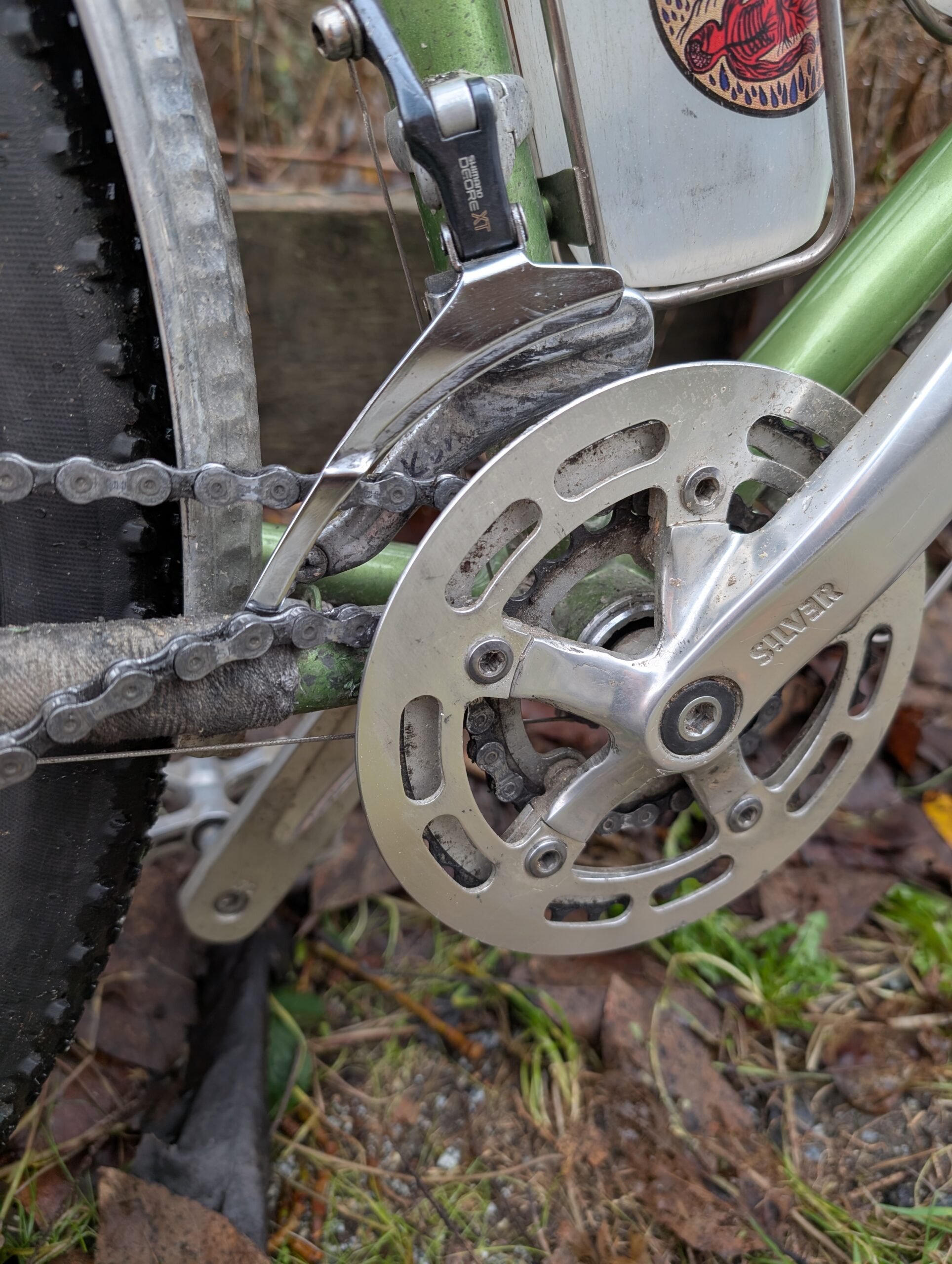
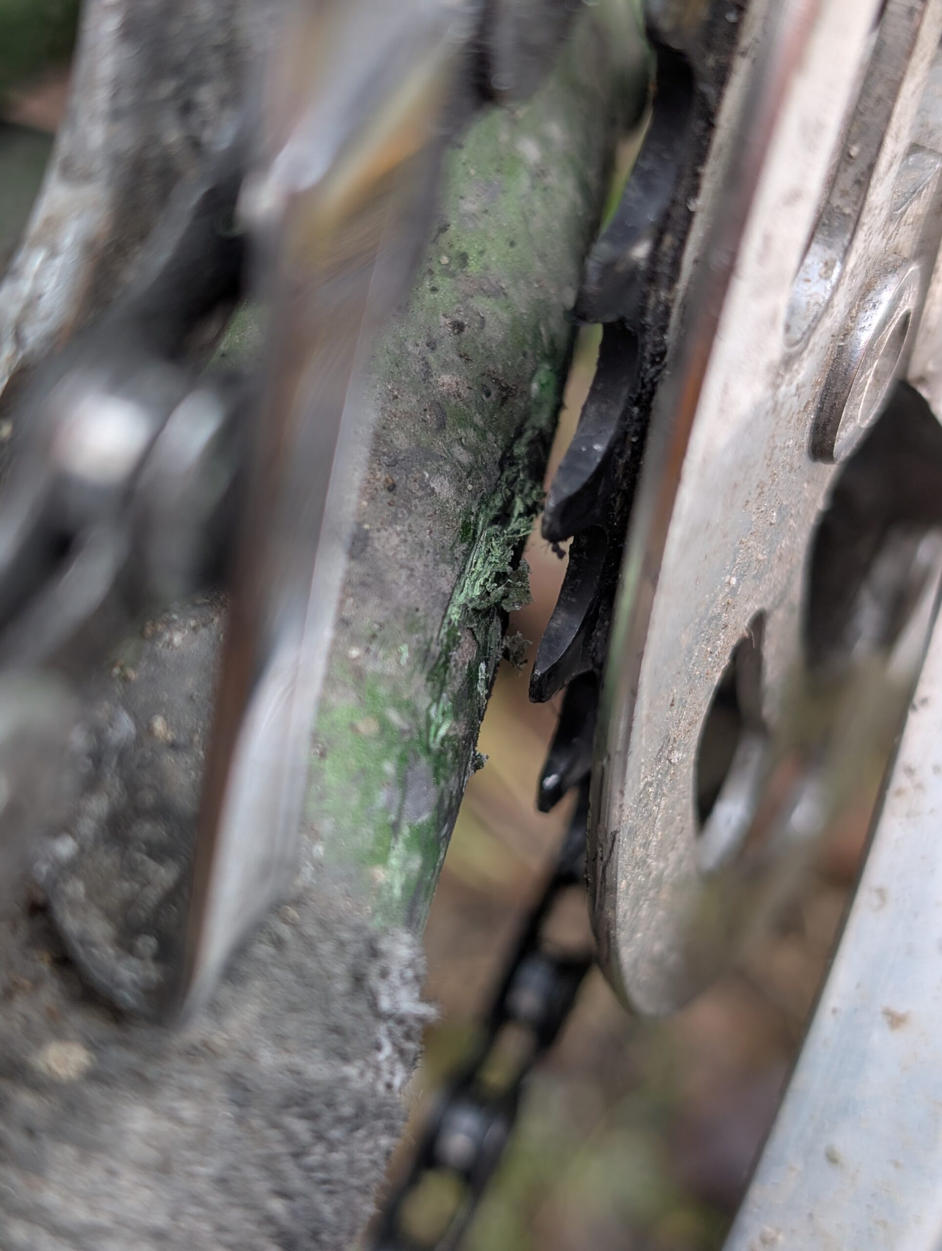
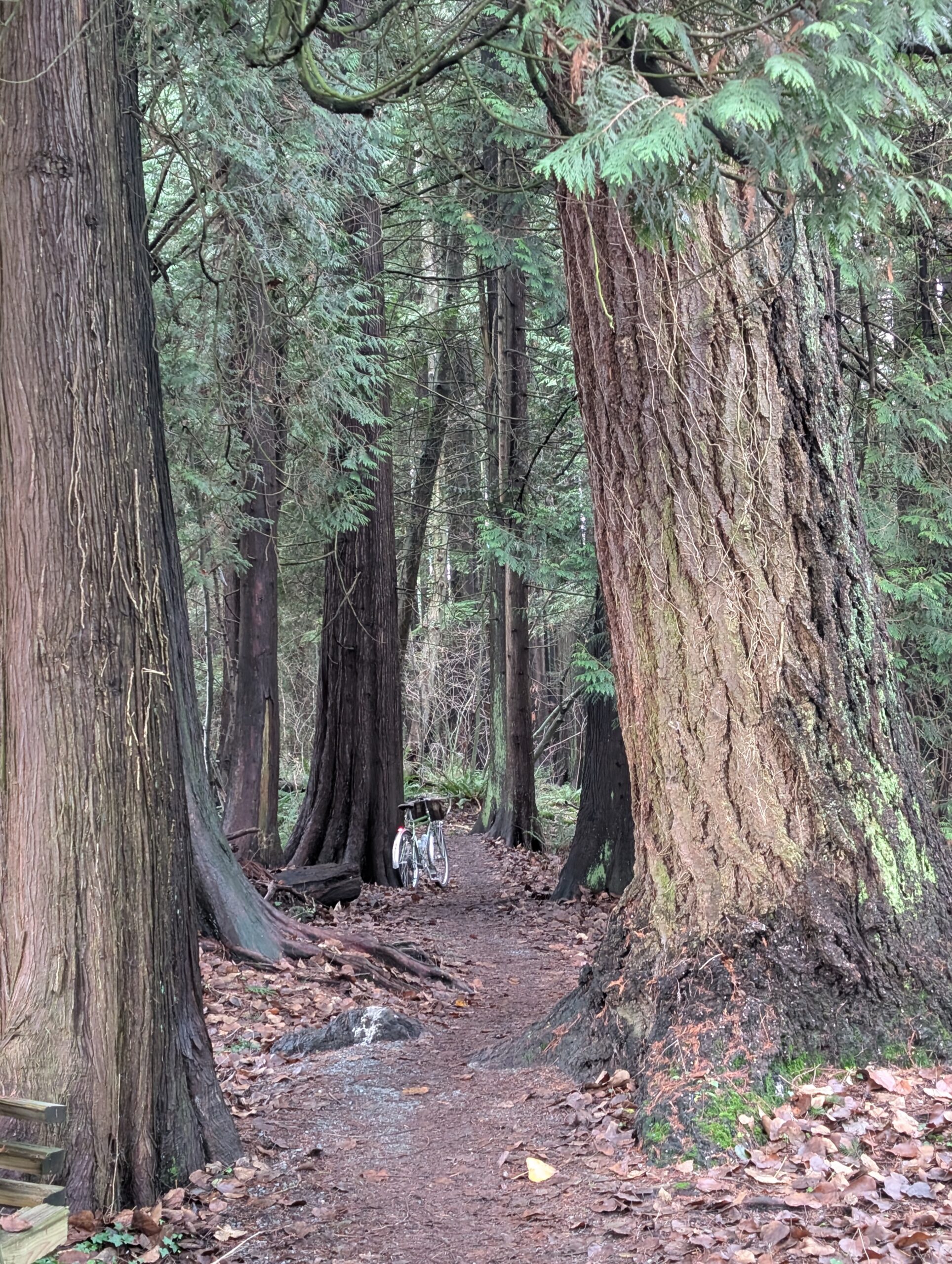
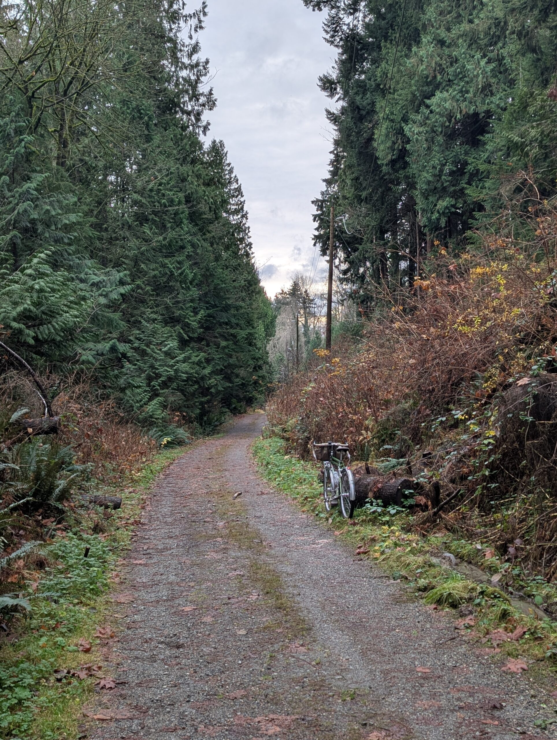
I headed for North Vancouver with the intent of exploring a few connections I’ve been wondering about, but taking some of my favourite paths and trails to link it together. About 10km in I had what I think is the first proper chain-suck experience in the past bunch of years – see below. It bafflles me the chain was able to force its way through, given the clearance between chairing and frame is less than half the width of the chain. I replaced the BB not too long ago with one that’s juuuust a bit wider and that’s where I went wrong I guess. I usually run a spindle length that puts the inner chainring as close to rubbing the frame without actually making contact as possible.
I worked my way up the trails that parallel Hwy 1, which climbs to Loutet park, home of some of the most impressive dirt jumps around. There is a pretty seamless connection of trails from here and through Greenwood Park that I ride regularly in either direction – though going up is pretty tough climbing.

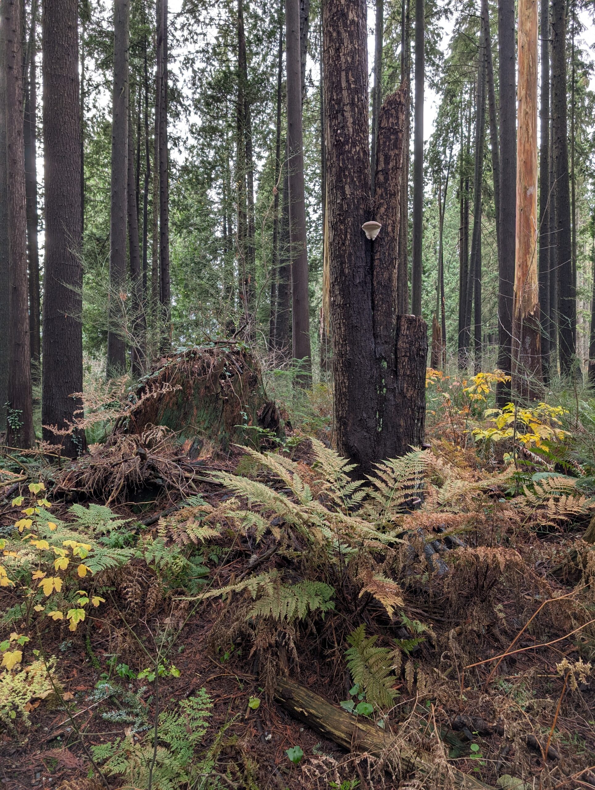
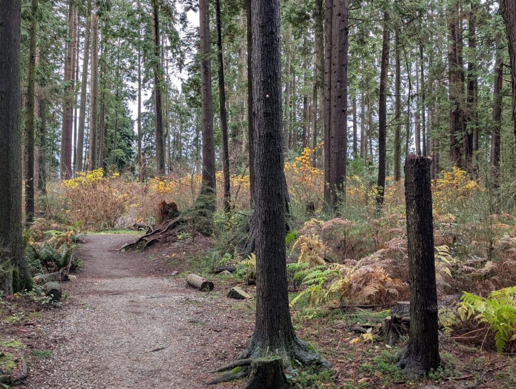
Fall is coming to a close but not technically over, and the forest made a point of this with some nice yellow foliage still hanging on and ferns that are clinging to their seasonal fronds.
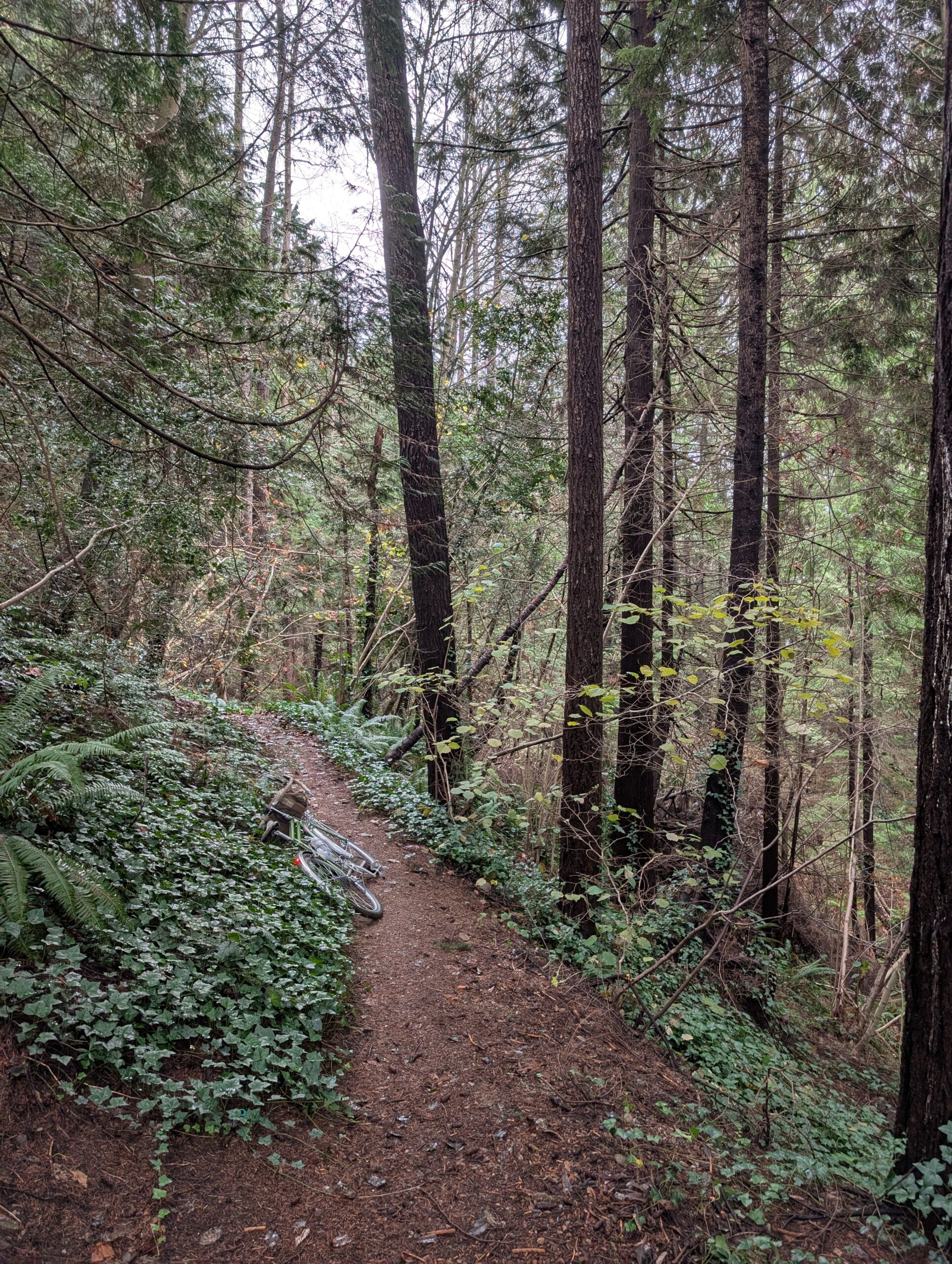
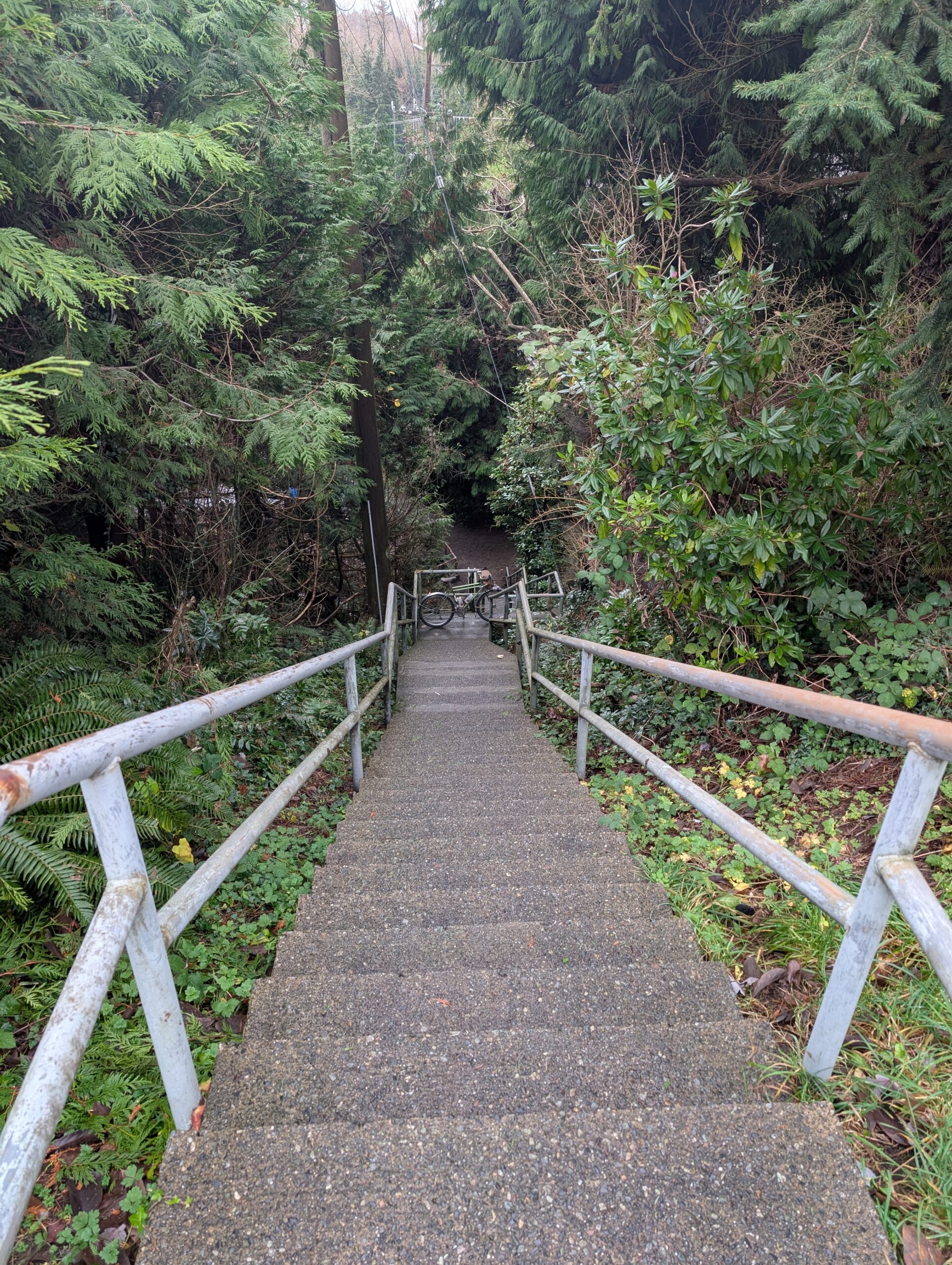
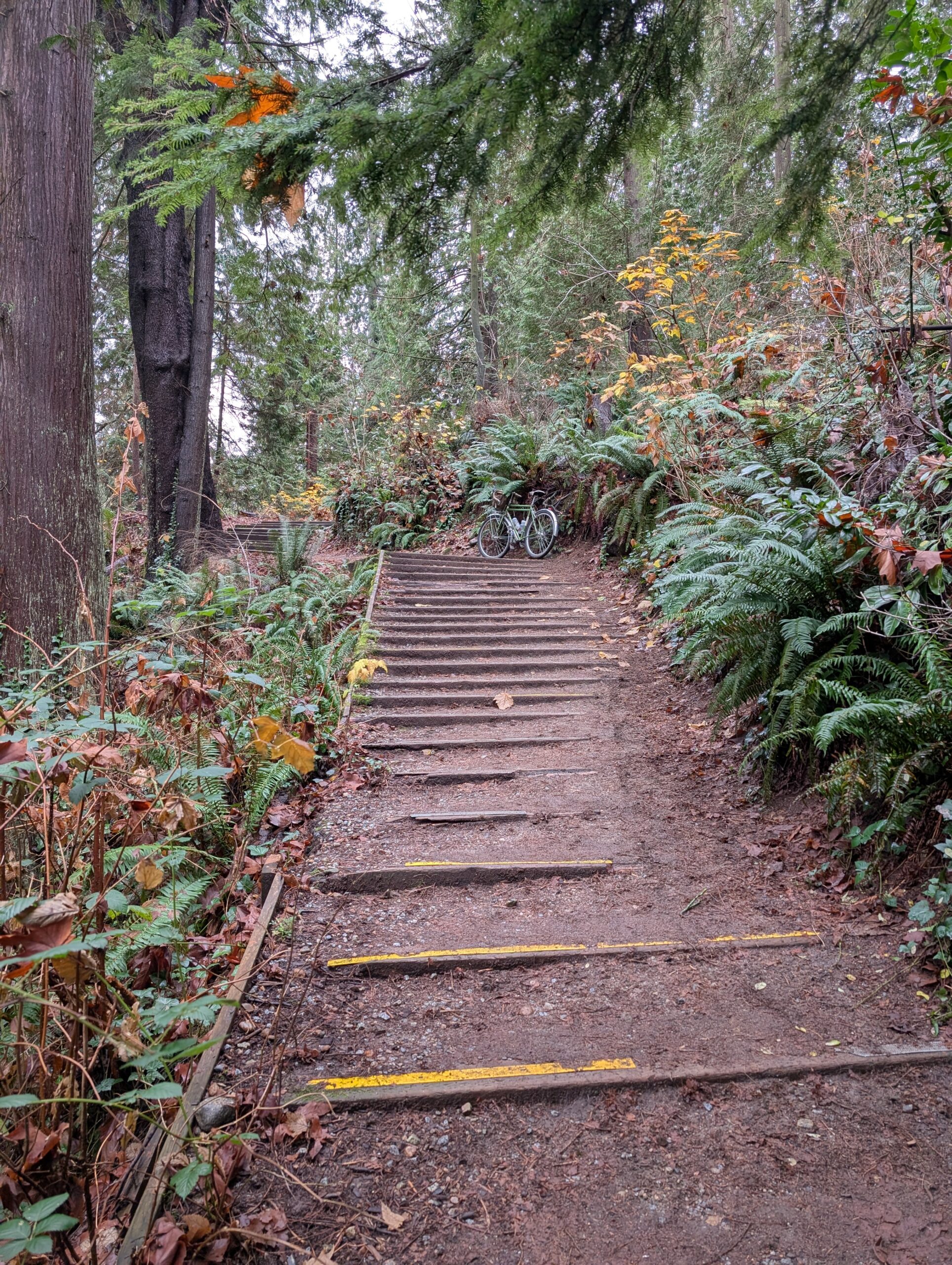
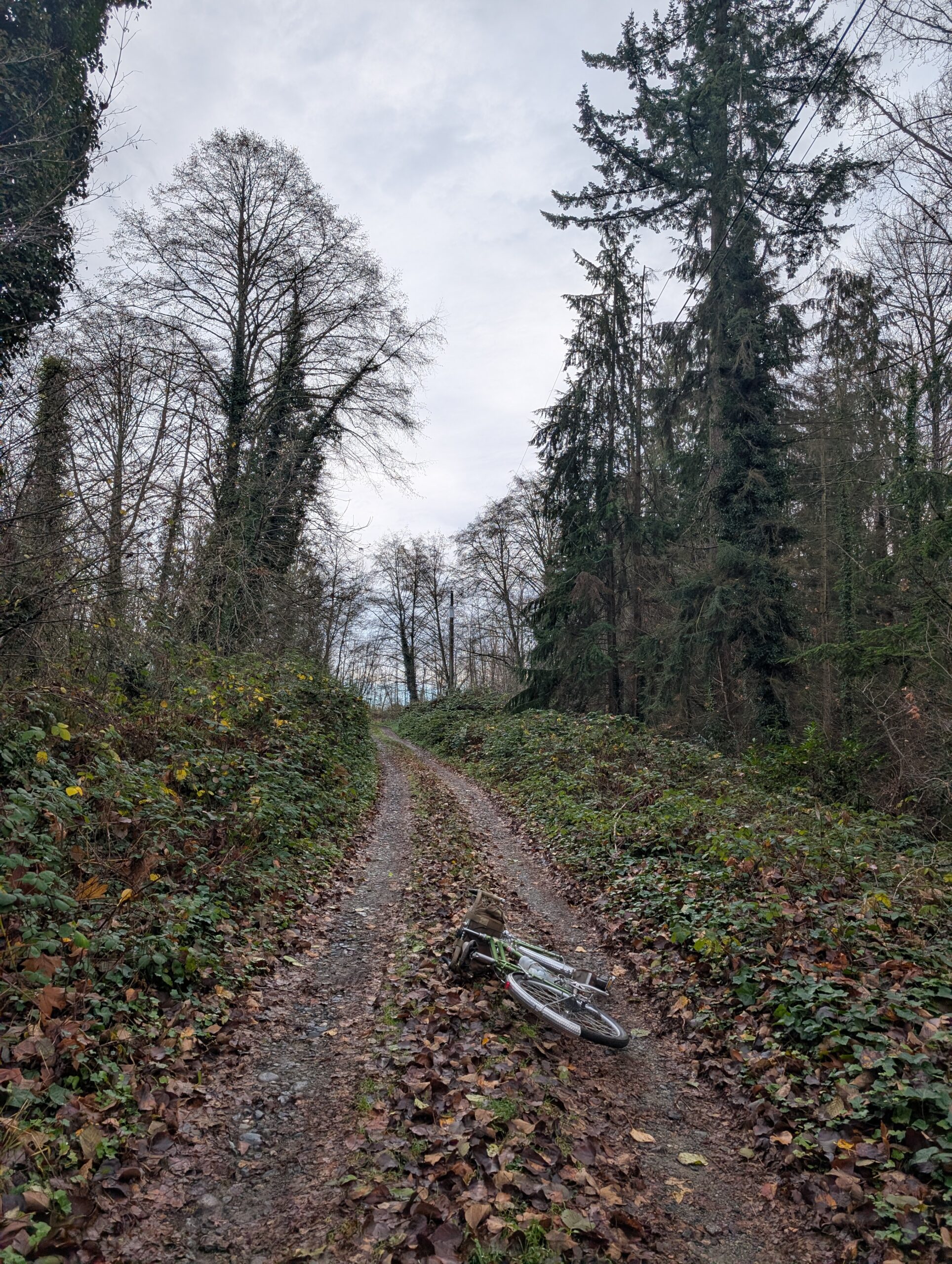
I’ll link the route at the end of this post for those who might be curious. I guess you’d need to know the area for it to be of any value. I wasn’t really trying to ride a “good route” in the sense that others might enjoy it; I’m not sure if this kind of route works for anyone who is trying to follow a route. I suspect it’s most enjoyable when it’s come about organically while exploring neighbourhoods, and something gets lost when trying to follow a GPS track in unfamiliar terrain. But, that said, I do think this is a great path to take on your bike, despite the occasional set of stairs. See below.
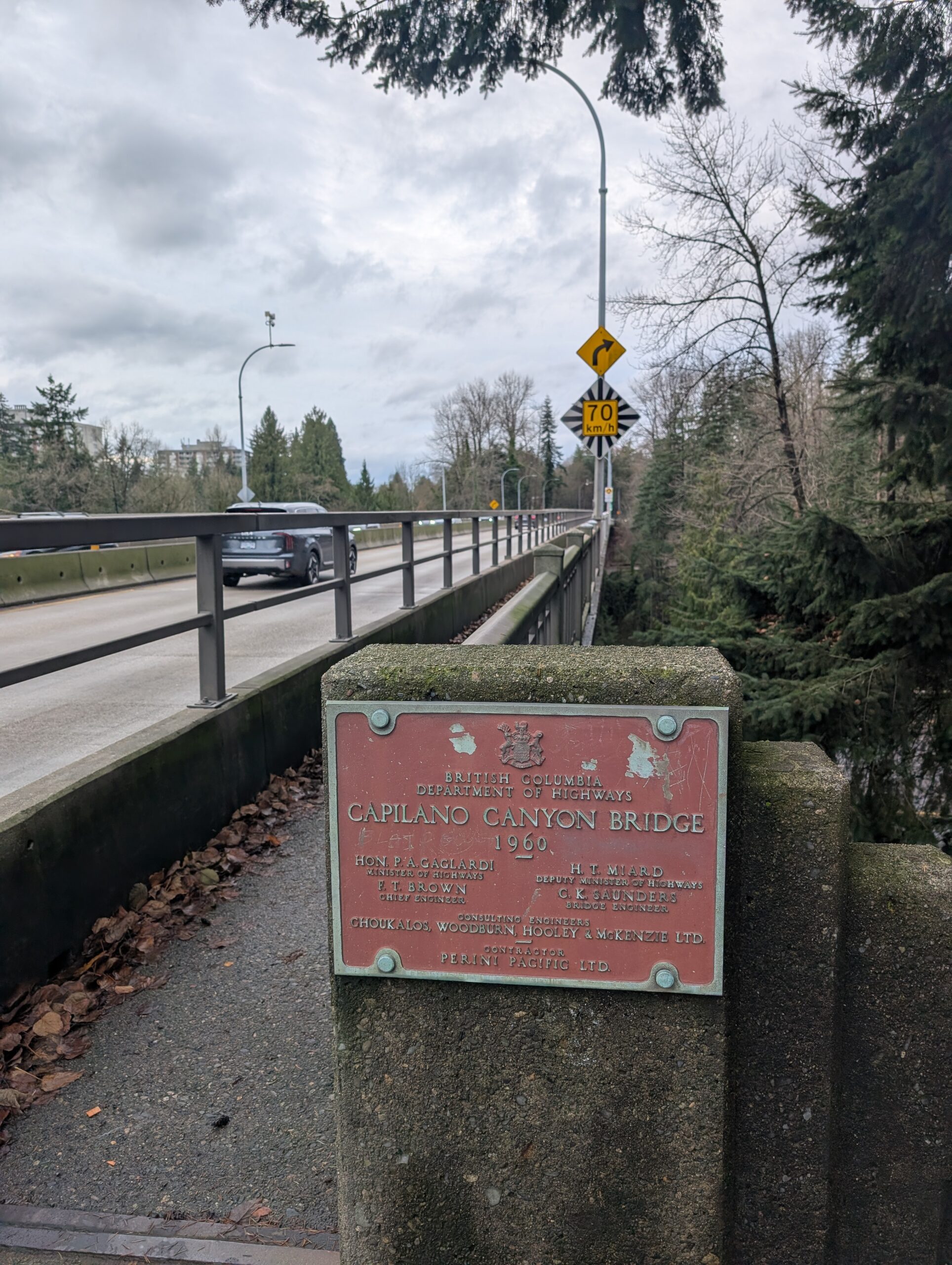
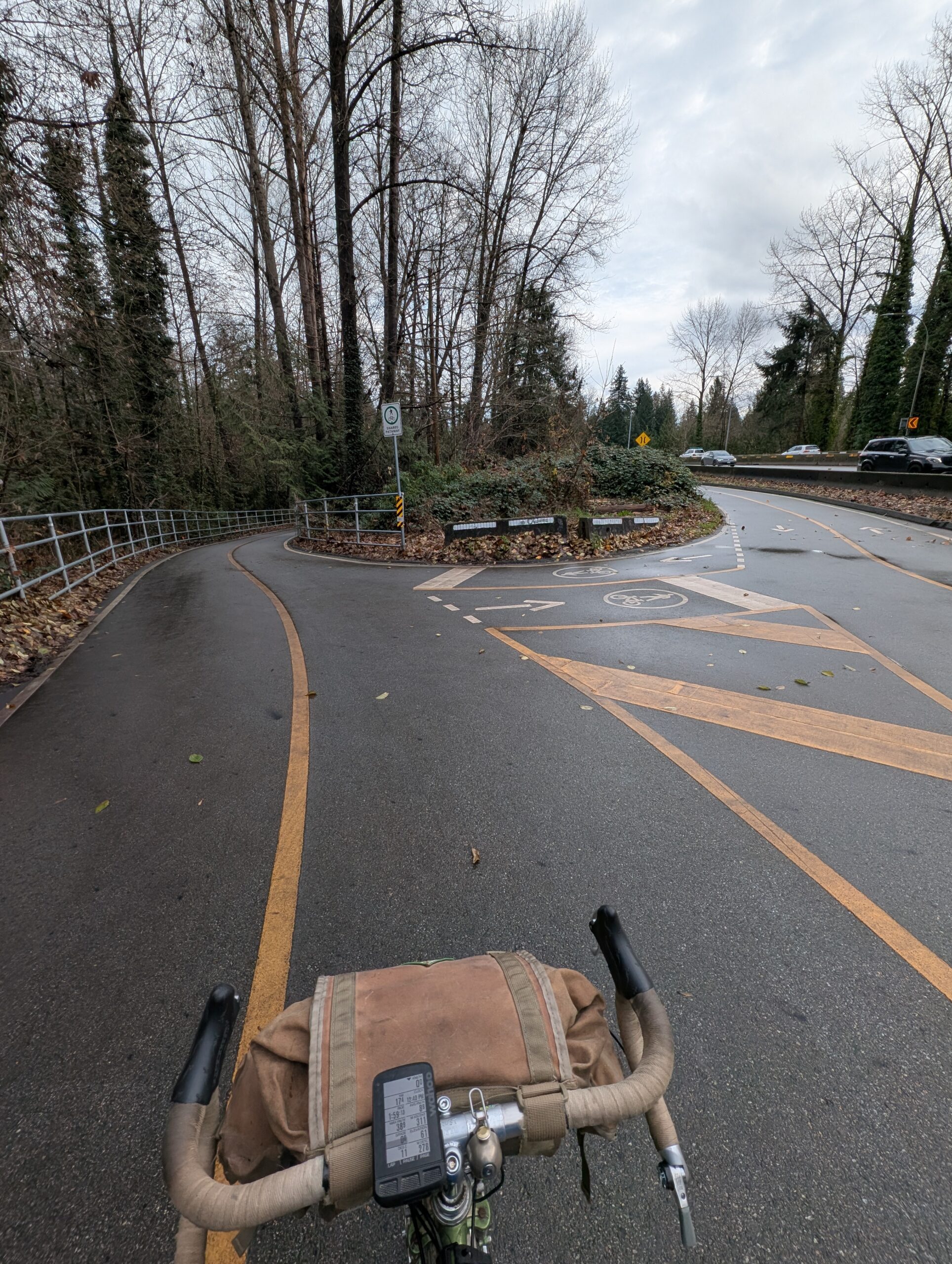
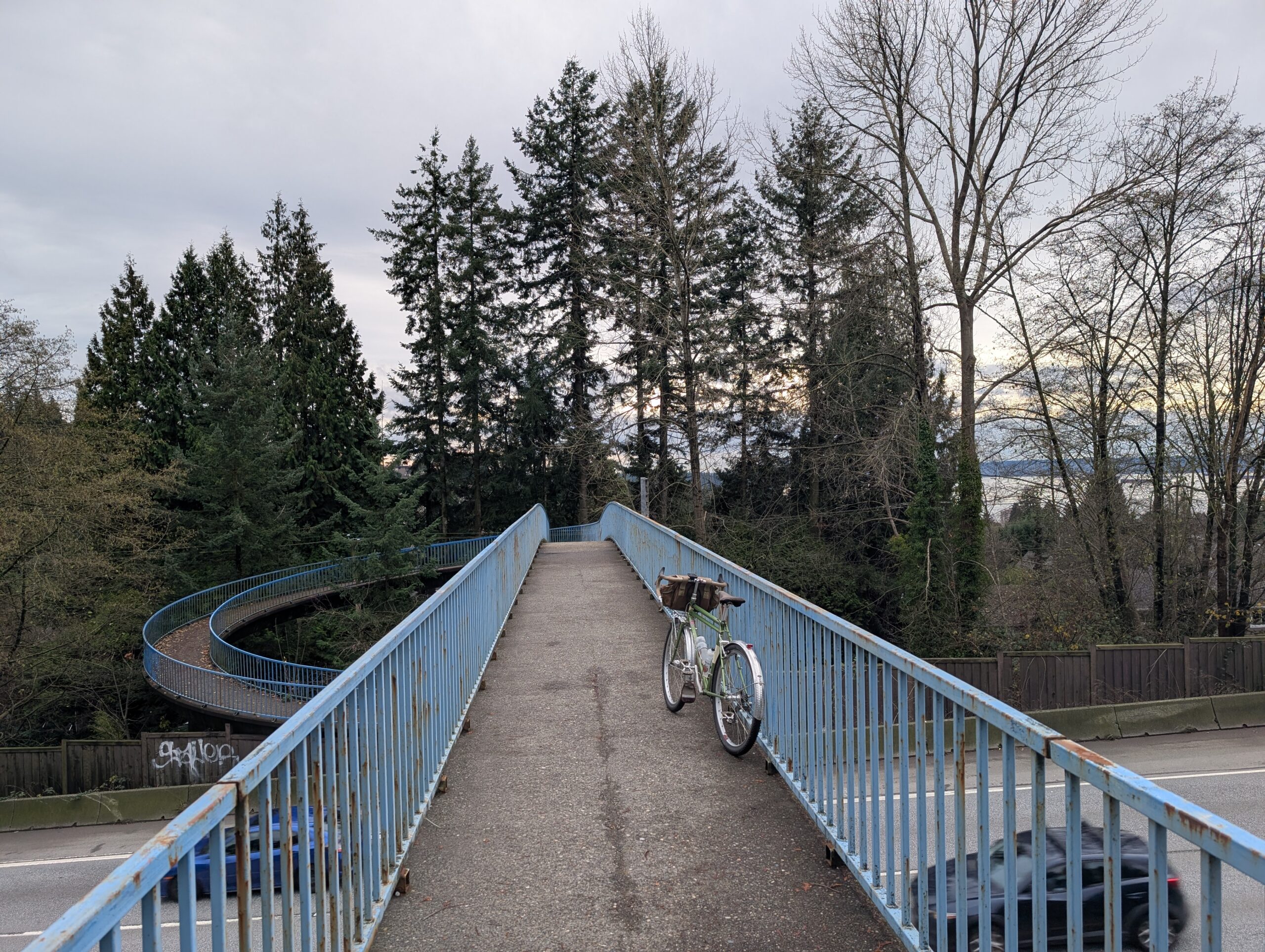
I had driven by this short but sweet stretch of bike infrastructure on the highway so many times and finally today I rode it – it doesn’t really go from, or to, anything – a failure in many respects, but dang if it isn’t nicely implemented. Now just connect it with similar paths everywhere!!!
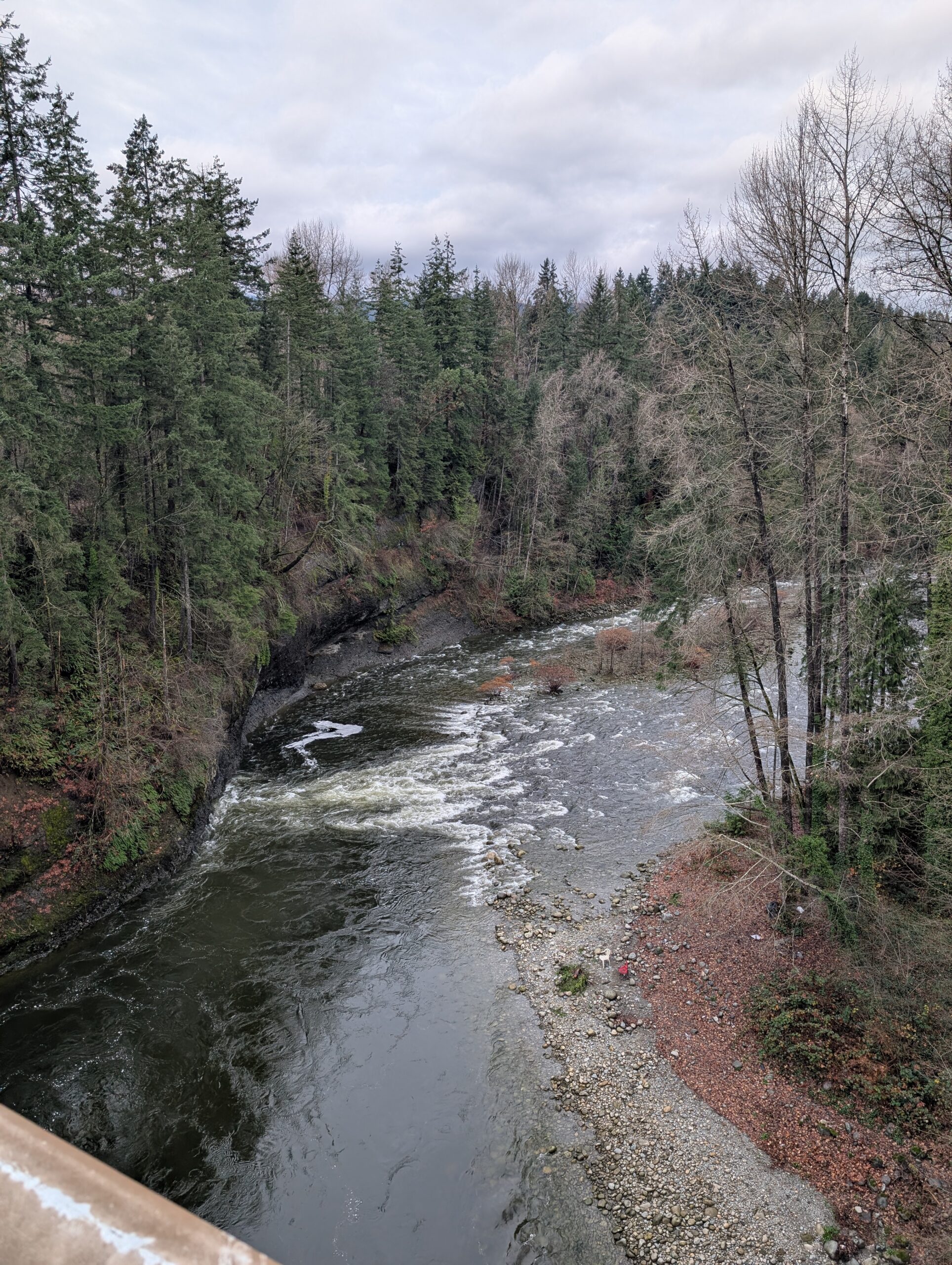
Also pictured below is a neat photo of erosion at work from the Capilano river’s current shooting across and into that left bank…
There used to be a gravel path that led all the way up to Capilano Lake on the west side of the river, but it’s been closed a few years due to a section being eroded away. I rode up to the closure and back today just because it’s a lovely stretch of gravel road – and to check out the closure. There was an obvious foot path around the fencing, but the warnings plus the terrain made me feel it wasn’t worth the risk.

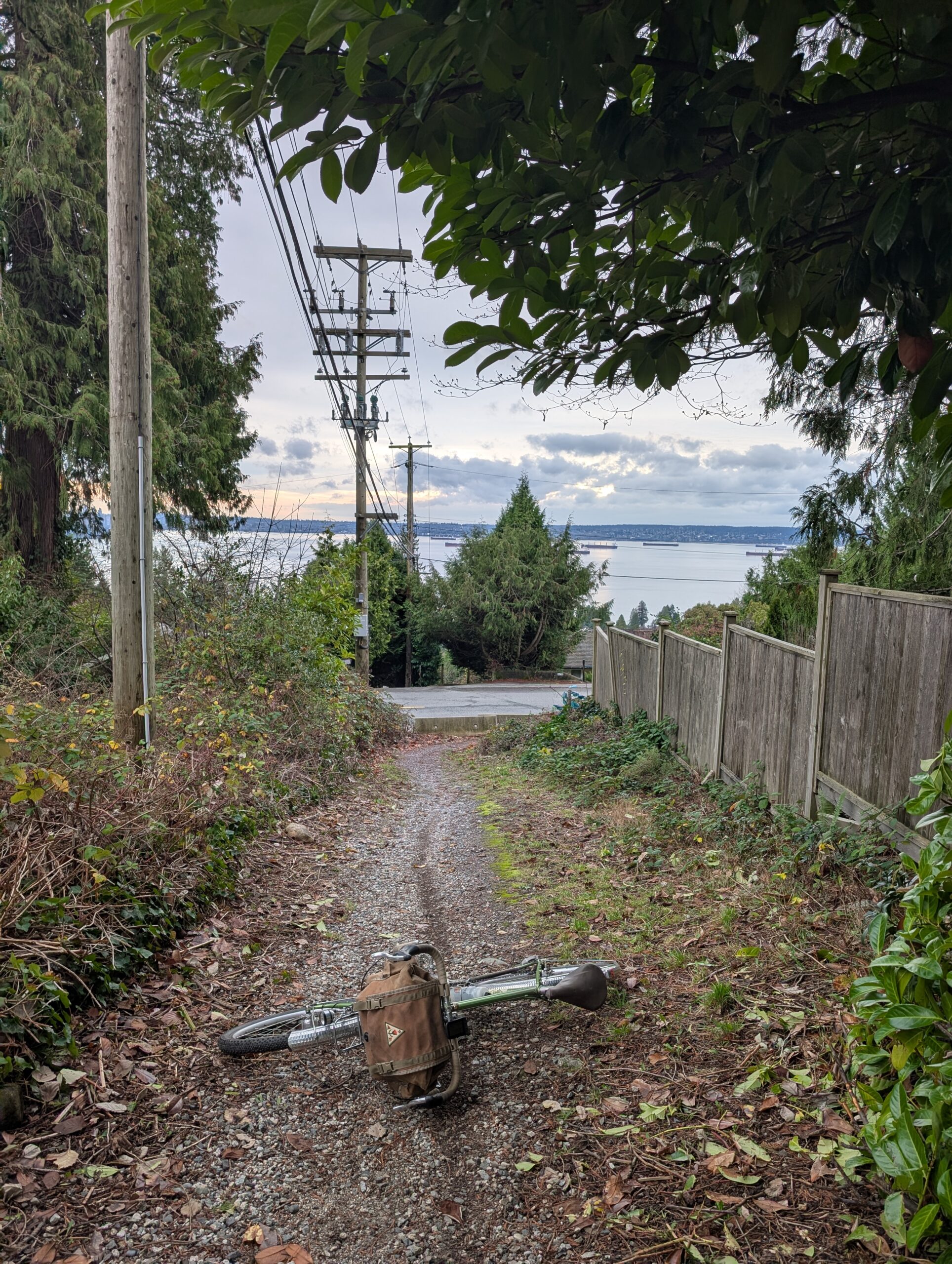
I noodled my way west via a combination of side roads and non-pavement .

I’m not sure if I’ve ever took this particular ped overpass – there’s at least a half dozen across the highway along this stretch, but this one is kind of random to connect to.
My route was indirect and rather illogical by most metrics, but it connected up all the good things I like about this area. Once back on the south side of the highway I travelled a bit further west along the road before popping up an easy-to-miss gravel path (below, left) which leads to a neat, random, and rarely-visited clearing (below, middle) that then leads to an infamous-among-my-friends fenceline (below, right).
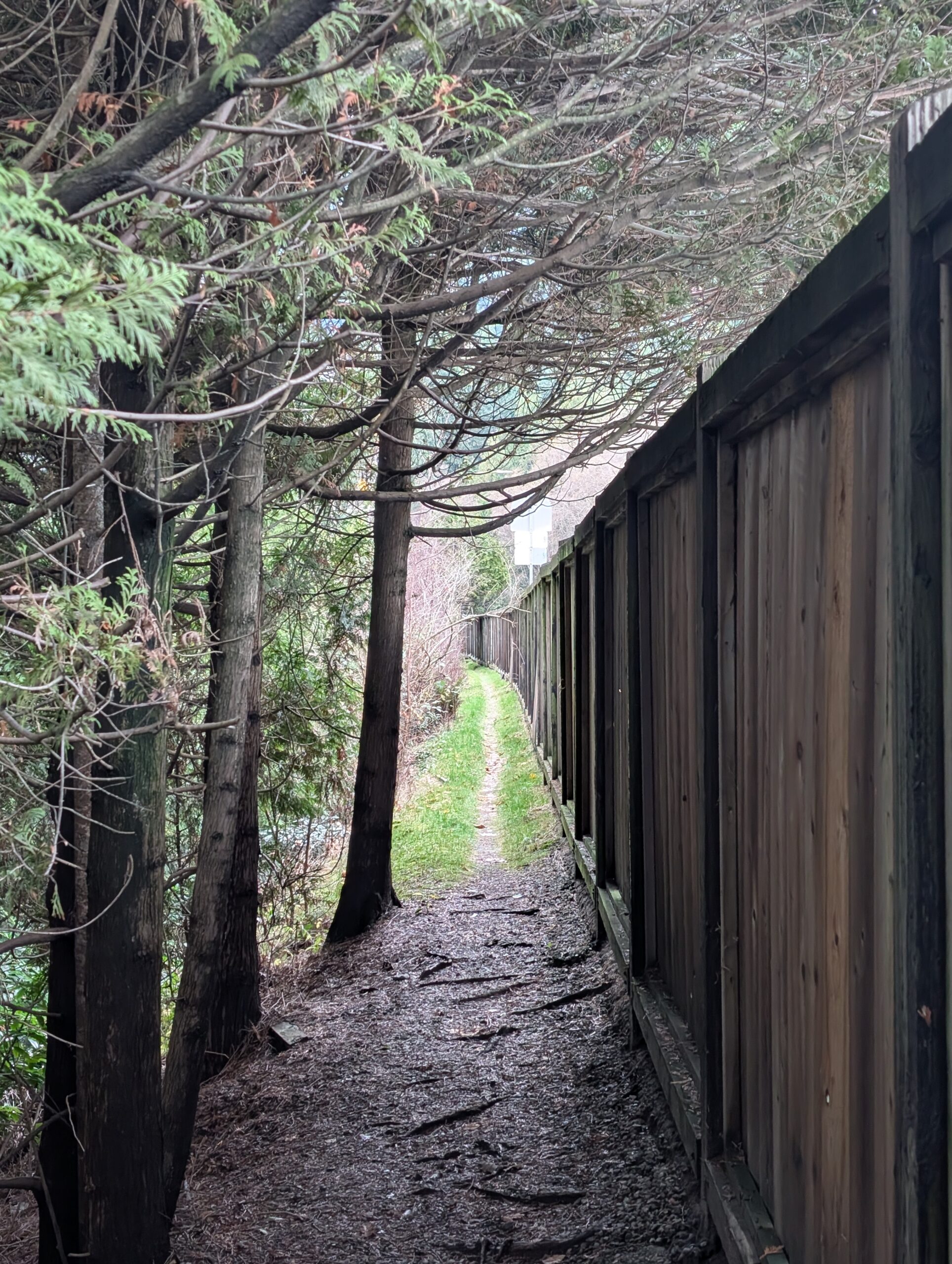
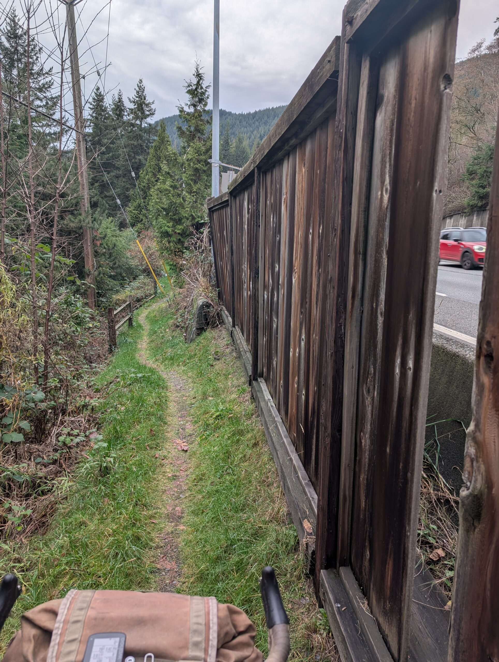
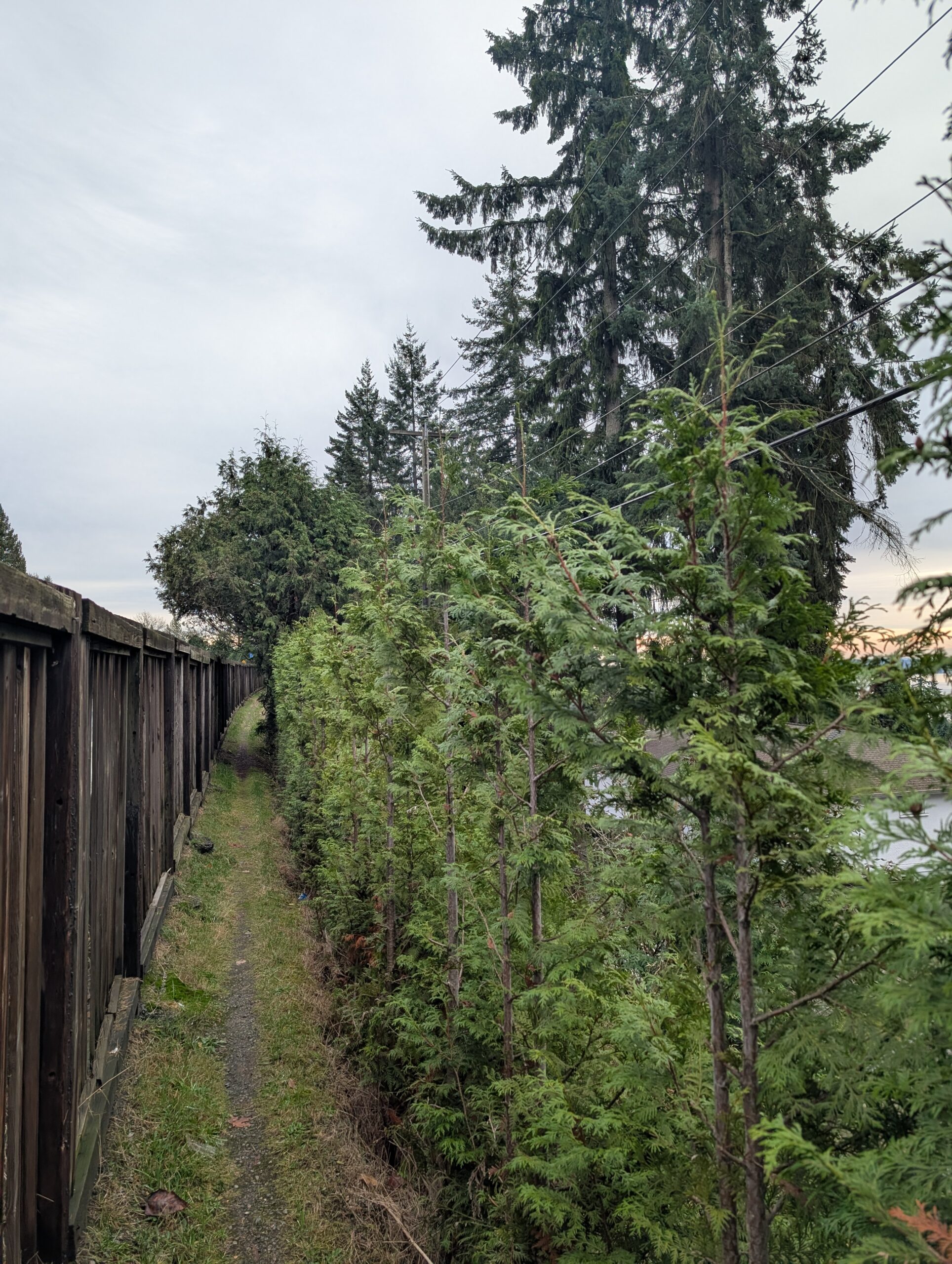
More photos of the fenceline… the east entrance is pretty hidden, and on the west end it exits onto Cypress Bowl Rd. It’s pretty narrow for the most part and has sections with exposure opposite the fence, but dang if it isn’t perfect.
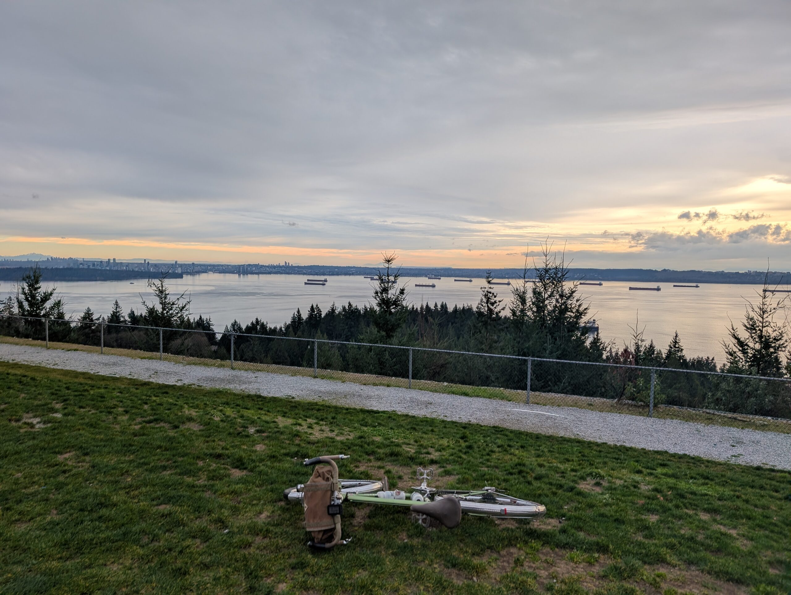
The Arbutus tree you need to duck under is a classic feature of the section as well (below, left). Below-right is the lookout that is just up the road from this fenceline, near the first hairpin corner on Cypress Bowl Rd. This area is going to see a lot of development in the coming years, and home to this spot are both the showrooms for the development as well as an open-air kitchen and bar called The Shed.

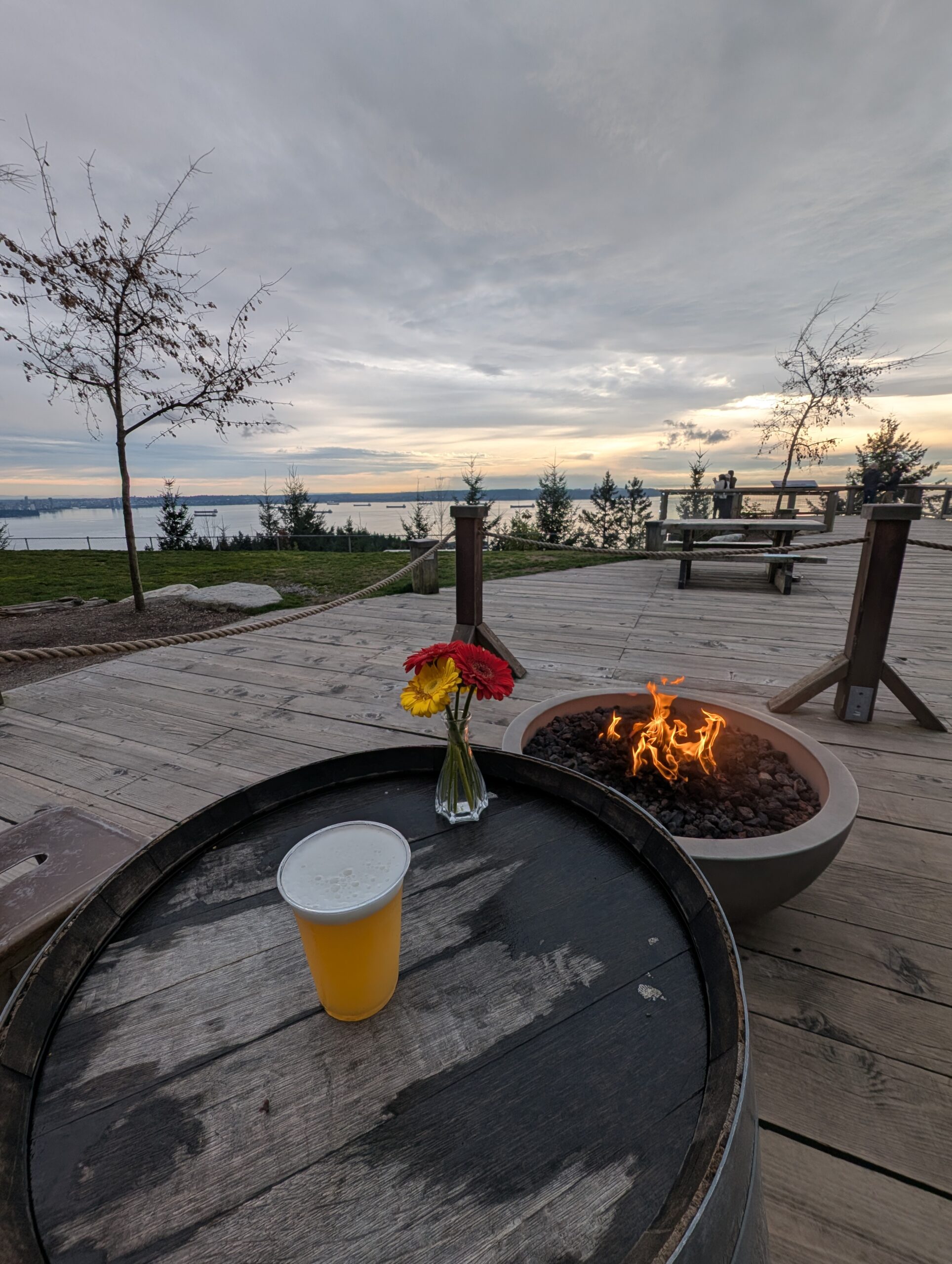
The Shed draws a funny mix of people based on its location – the extremely challenging MTB trails that Cypress is known for tend to dump out here, so there’s a bunch of dirtbags with full face helmets and DH bikes, there’s well-dressed and wealthy-looking folks who are here for the developer’s visitor centre, plus there is no shortage of tourists as well. In fact, someone from Toronto spotted the Hoop Driver (a cool bike shop in TO) on my bike when passing by. I got an overpriced IPA (below, left) while felt fairly priced given I was able to enjoy both a propane fire and view while drinking it. I also got a pretzel which took far too long to be ready, but then was rather incredible so I couldn’t complain.

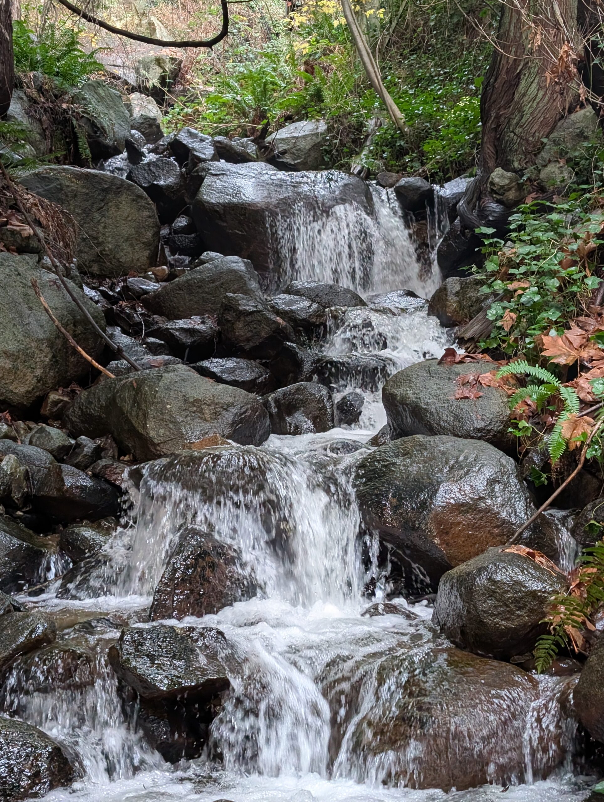
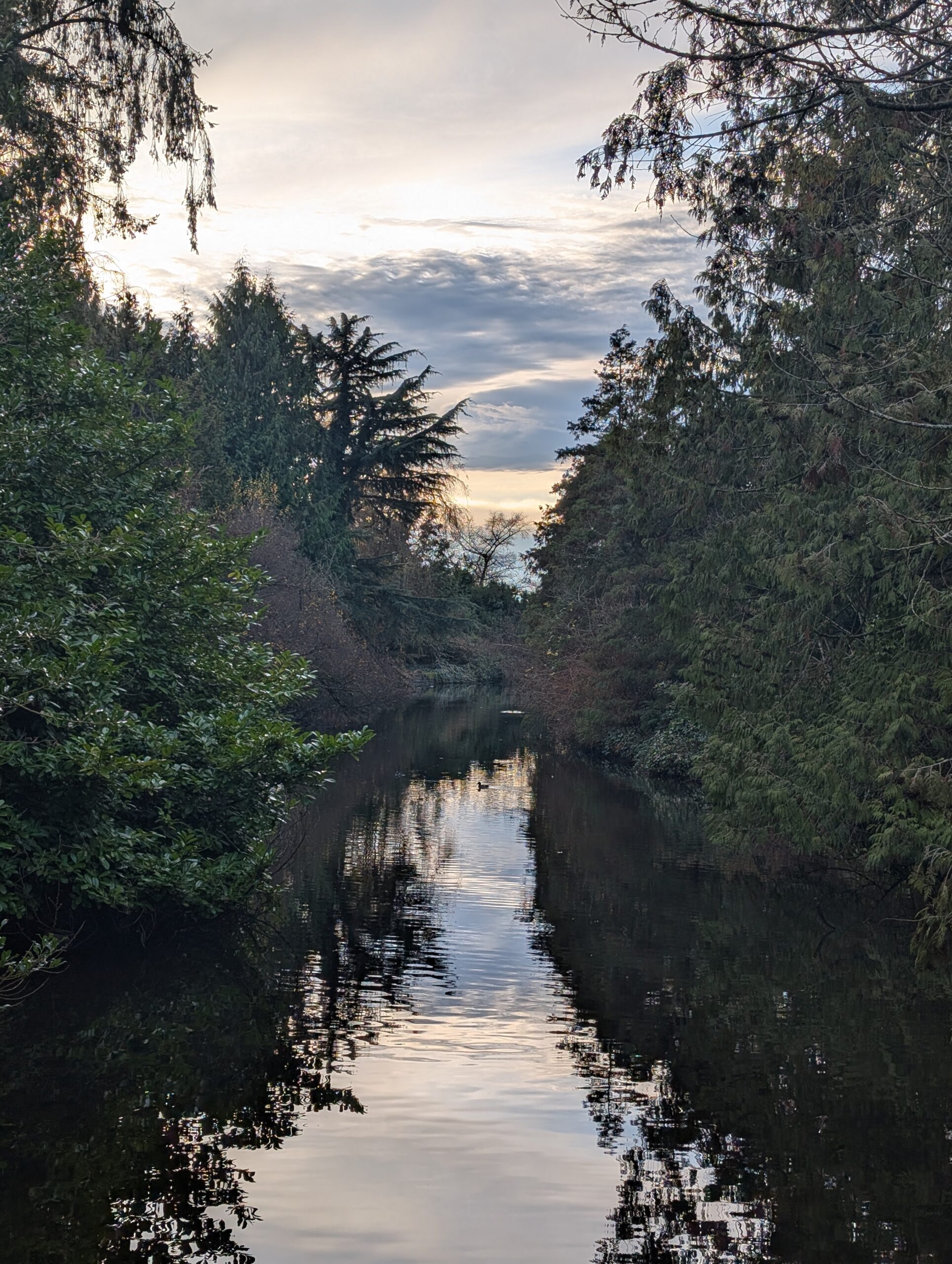
I did some light trespassing on the descent from here because it connects too wonderfully not to – and the only reason it’s closed to bikes is because of construction which was not active today, anyway. I also took a sweet, sweet path we found on my birthday ride (above, middle) which was just as elating the second time as the first. The photo of the creek? I looked like a weirdo climbing down off the rich-person street for this photo, but I acknowledge that I am a weirdo and I do these things.
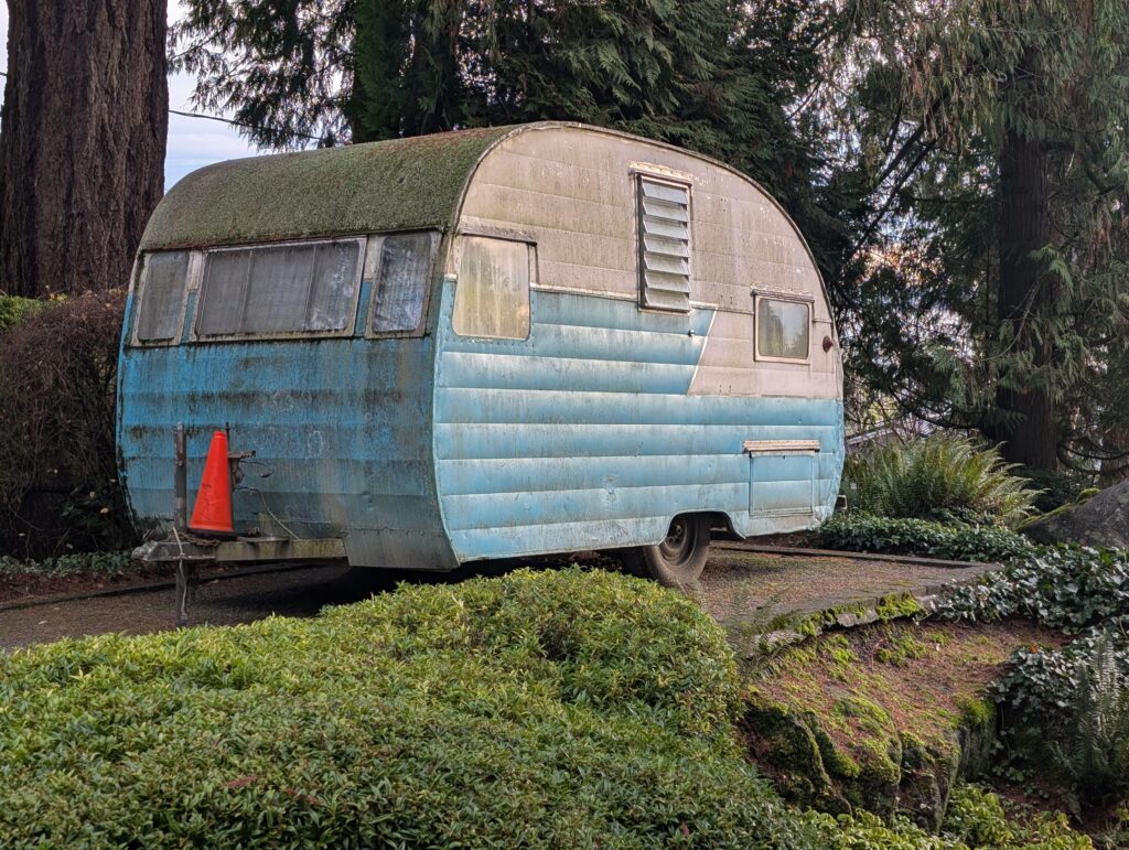
Above: Best intentions, hopes and dreams, in physical form.
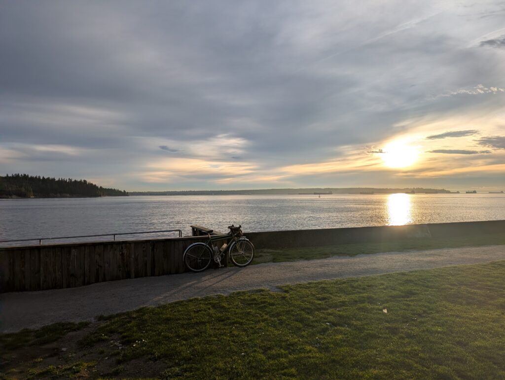
Below: The safest Christmas tree I’ve seen yet, and I thought these big concrete block steps to the ocean were rather aesthetic. You be the judge.
The sun came out!! Today was pretty nice all day but it wasn’t really sunny. It was just, “doesn’t seem like it will rain”. I was pretty happy to see the sun towards the end of the daylight hours.
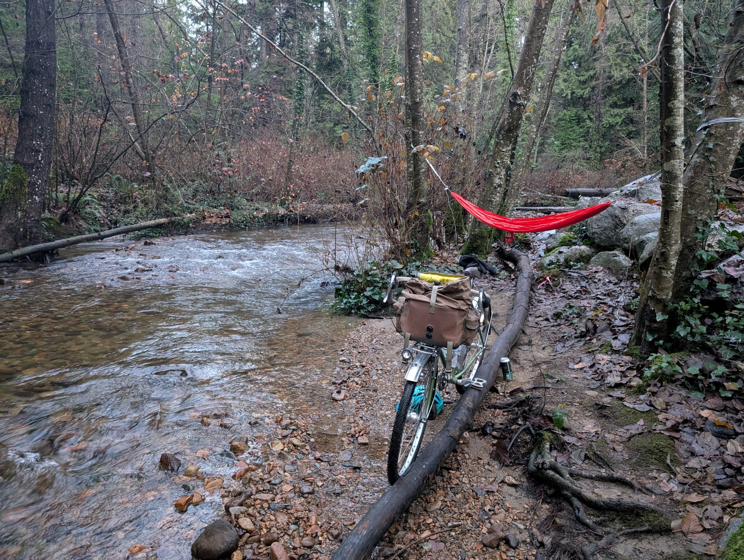
I rode for a while without taking photos, and also picked up a few beers and some A&W fast food, with the plan of heading up McKay creek until I found a suitable spot to set up the ultralight hammock I had in my bag. I kinda had a spot in mind already, and the tree spacing worked out, so I quickly set the hammock up and hopped in to eat my sandwich and have a beer.
For those who want to know such things, the hammock is a Kammok Roo UL single, and the ropes are Uno Helios Ultralight suspension system. Combined they weigh 280g and fit the palm of my hand, no joke. I suppose you could camp with this (with bug net, insulation, perhaps tarp added as needed) but I consider this a day-use setup for my purposes.

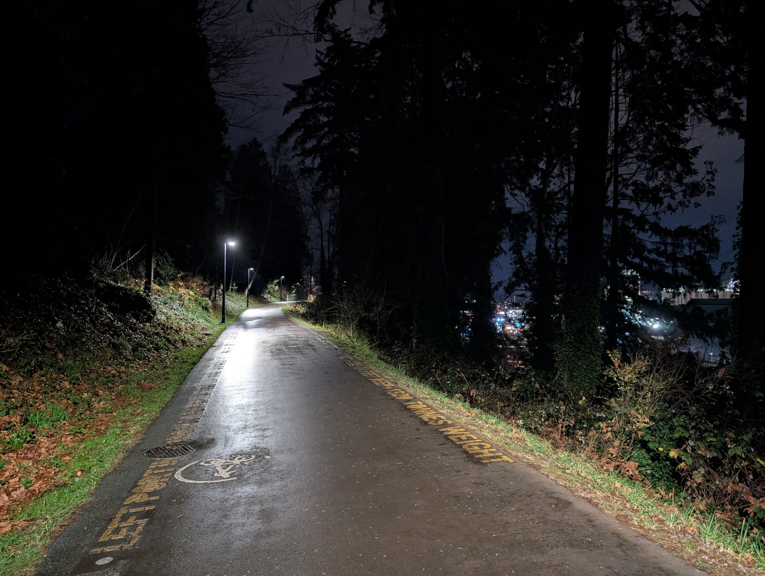
I relaxed in the hammock until the light was nearly gone, and got packed up just before I needed a headlamp (which I did not bring). I was still ~15km from home, and followed the Spirit trail through north Vancouver and over the bridge back into my neighbourhood. Below is a stretch of Spirit Trail just east of Moodyville Park that I really love in the dark – for reasons probably evident. The big building is a grain terminal; I’d love to see inside these massive buildings.

As promised, here is the Strava link:
Leave a Reply