Caulfield is one of the most west, and most expensive, neighbourhoods in the already very affluent West Vancouver. It’s along the steep rocky bluffs near Lighthouse Park; so steep and rocky it’s quite a feat that roads were able to be carved into the hillside, let alone the impressive mansions dotted between the trees. A lot of the most notable architect-designed homes are in this area.
Caulfield is perhaps less known for its network of little trails connecting up various dead-end roads, but that’s what’s most note worthy for me. These little trails tend to be locals-only knowledge, and the neighbourhood pride is evident in their maintenance and construction.
I’d already checked out a good number of them previously, but some remained unchecked, so I gathered my always-up-for-a-hike-a-bike pal Rob and we headed west.
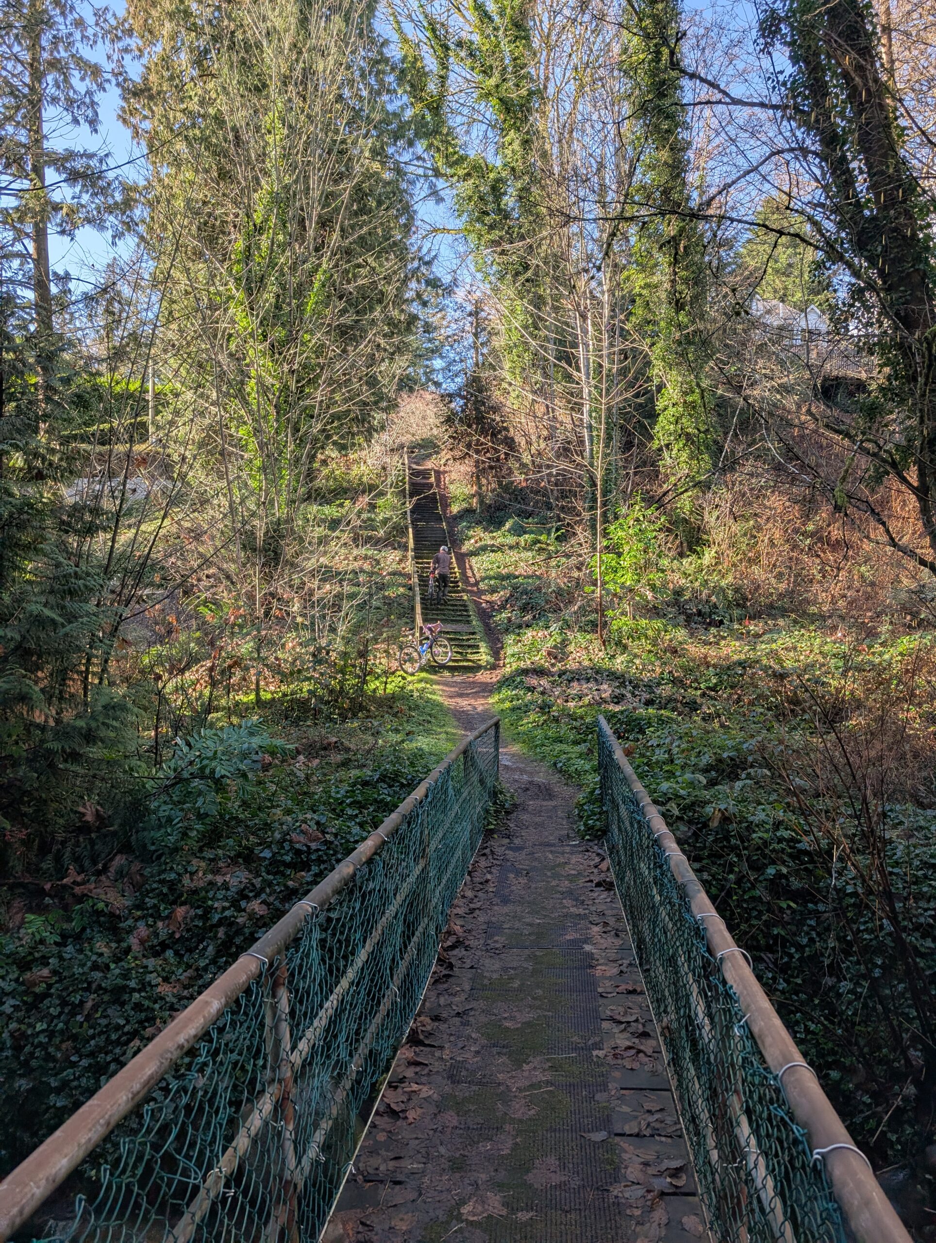
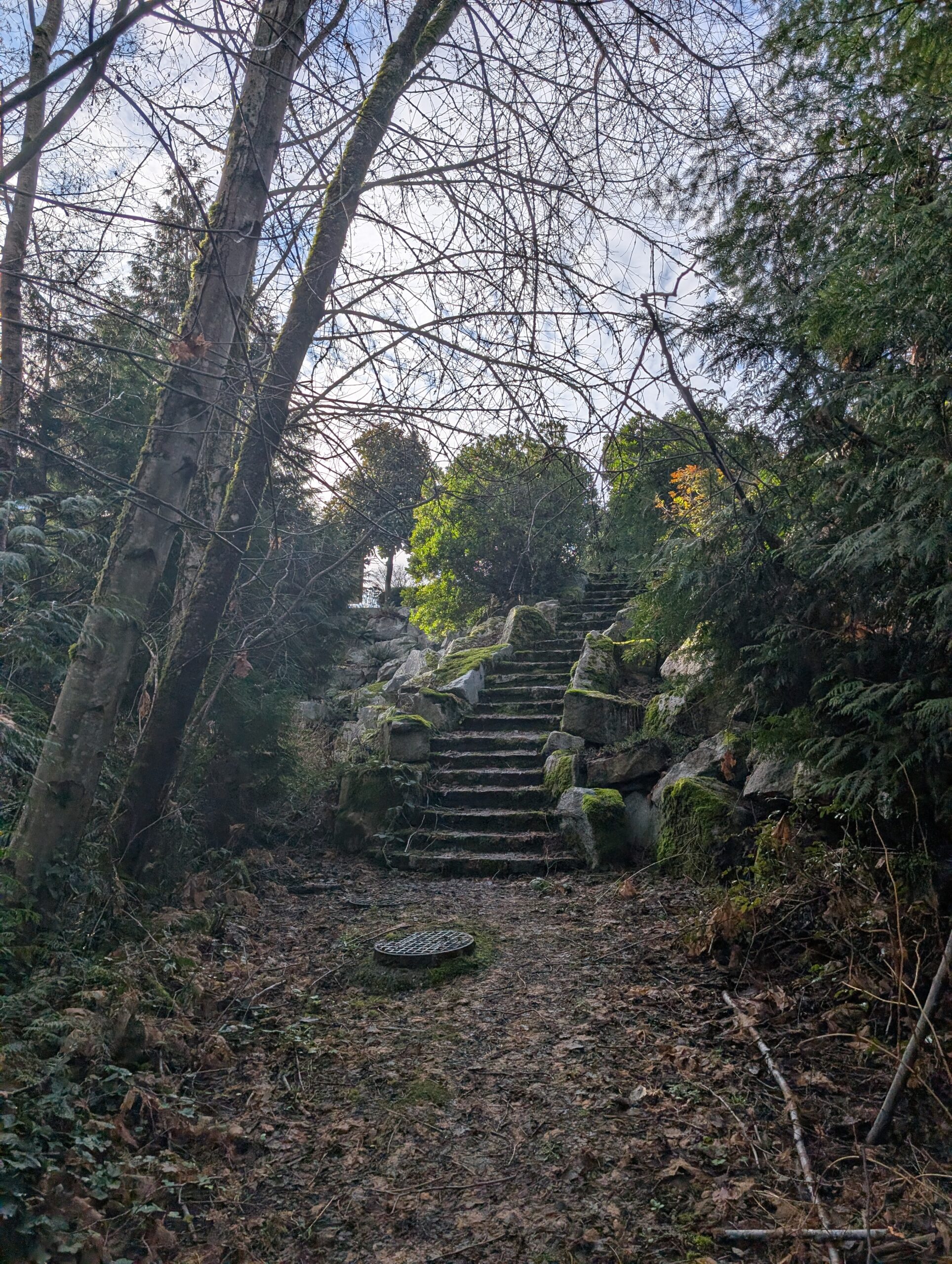
The first 20 km were nothing new, and I didn’t take photos. The staircase top left I had recently climbed, and I’ve posted a photo of on my blog I believe – it looks a little bit brutal, but isn’t too steep so it’s not bad at all. The stairs top right were in Plateau Park, a descent of 70m that were decided not to do – and thank goodness, because we’d have missed out on the highlight of the trip.
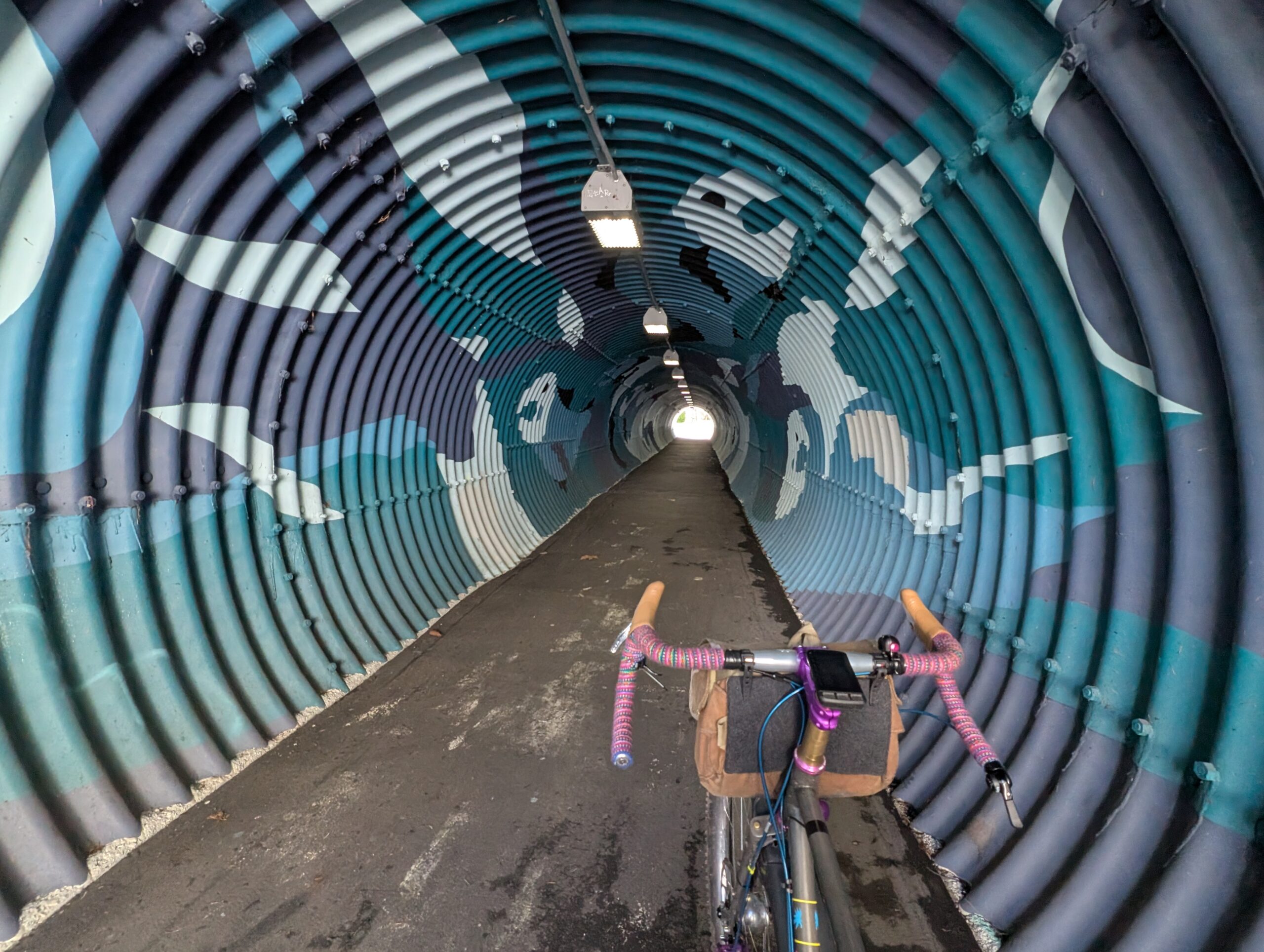
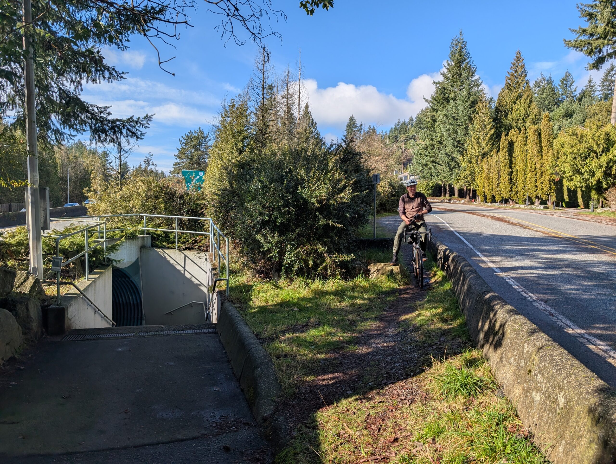
Between the two above staircases was this tunnel, below. The street it’s on is a bike route, one I’ve taken many times, but this tunnel is very well hidden and it’s very unlikely anyone passing by knows about it by sight. Its purpose is to connect the homes on this side of the highway with the school and strip mall not too far away on the other side of the highway.
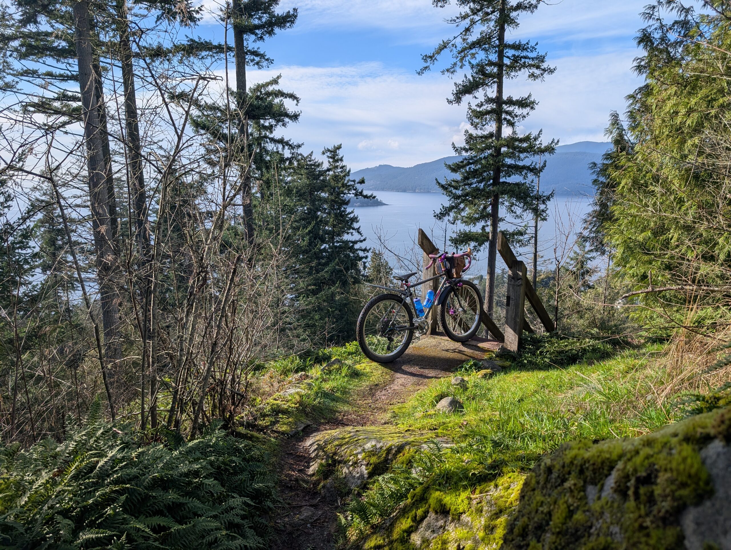
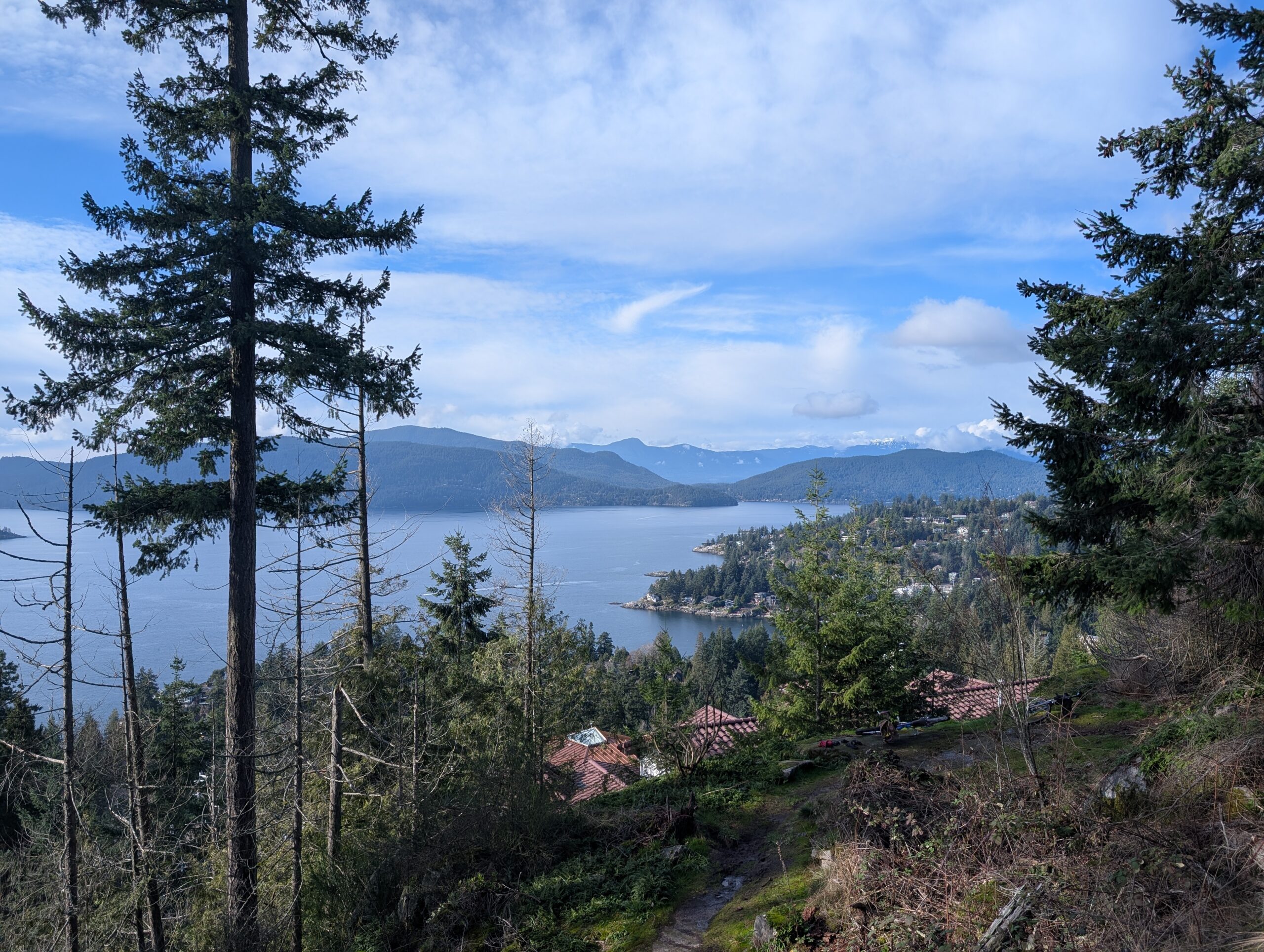
Instead of that 70m descent through Plateau Park, we followed the street a little further to a couple other short trails we’d noted on Open Street Maps. At the viewpoint below I knew we’d make a good call. To make things significantly better, a group of 8 or 10 eagles were circling above us and putting on quite a show. Neither of us, nor the locals who passed through, had ever seen so many together.
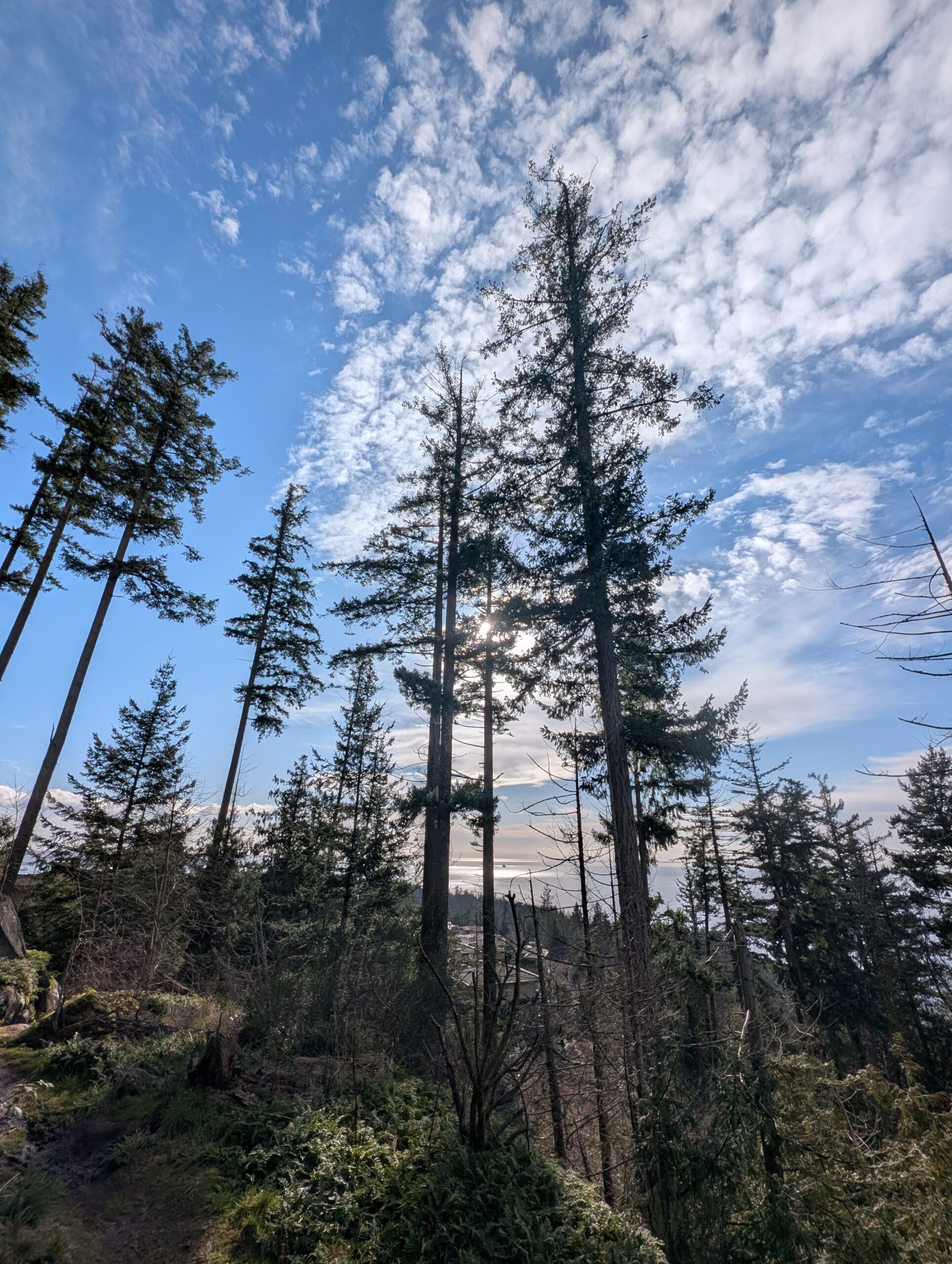
These bluffs were also home to some extremely tall, slender trees. We spent about 40 minutes here, soaking in the views and nature, and enjoying a pilsner each.
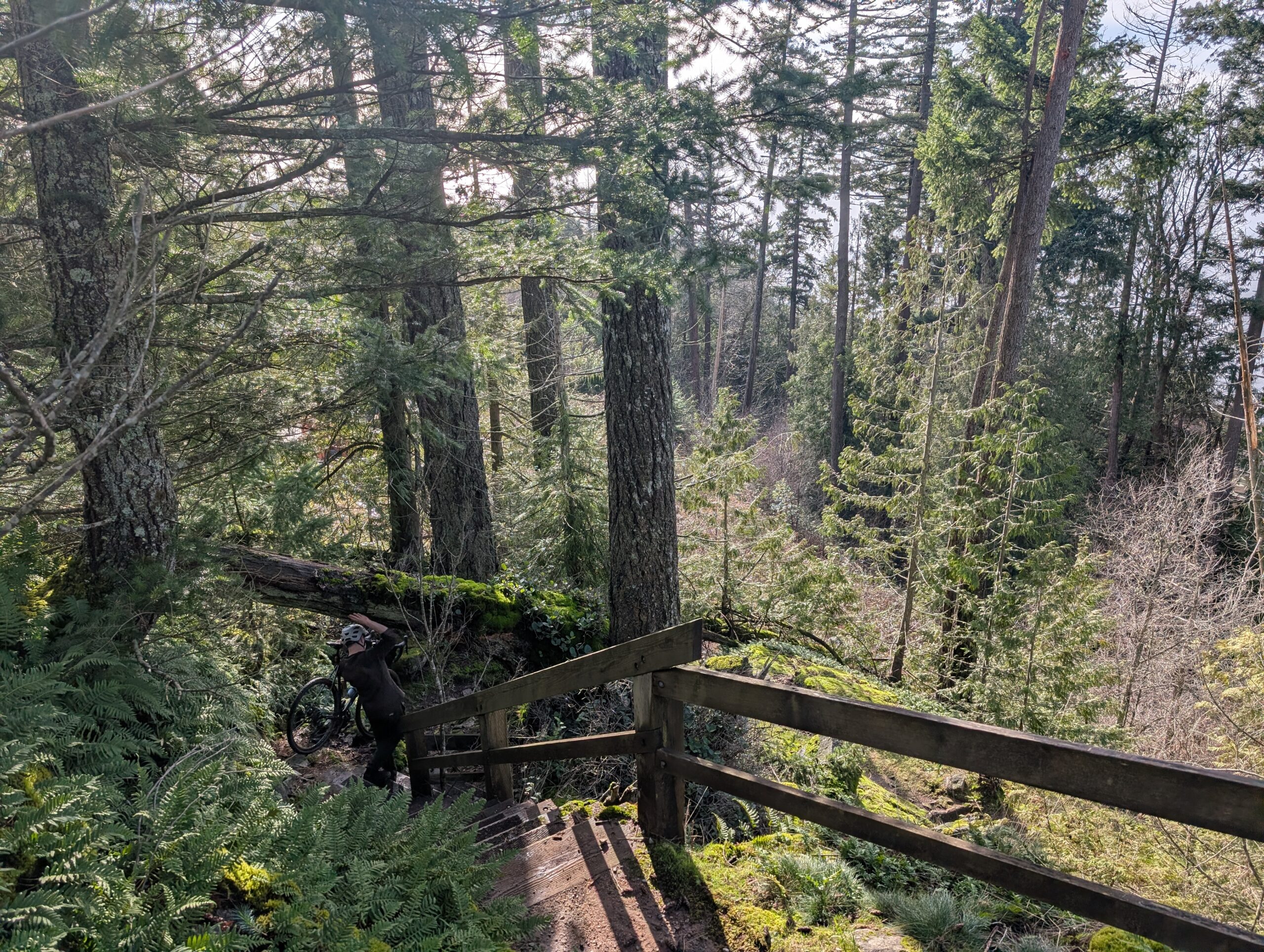
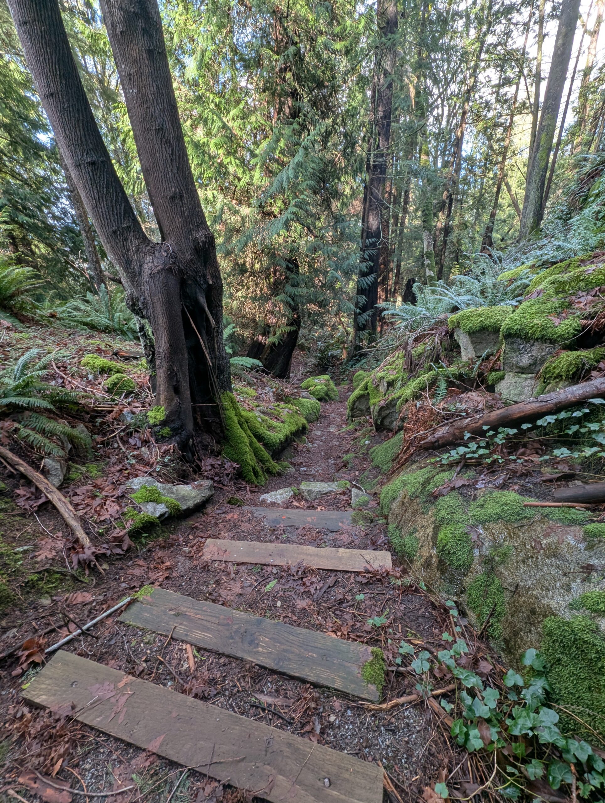
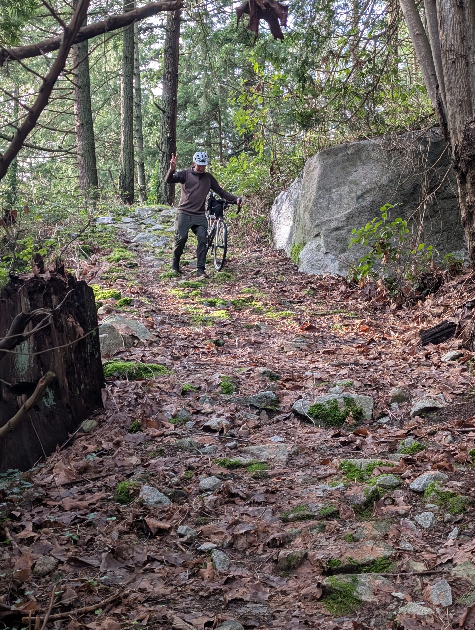
The beautifully constructed stone staircase above was something I noticed by chance just after we’d gotten back onto a paved road – it wasn’t the direction we were planning to go, and it was obvious from the start we’d lose a lot of elevation – but it was much too enticing to not check out. It wasn’t showing up on our map either!
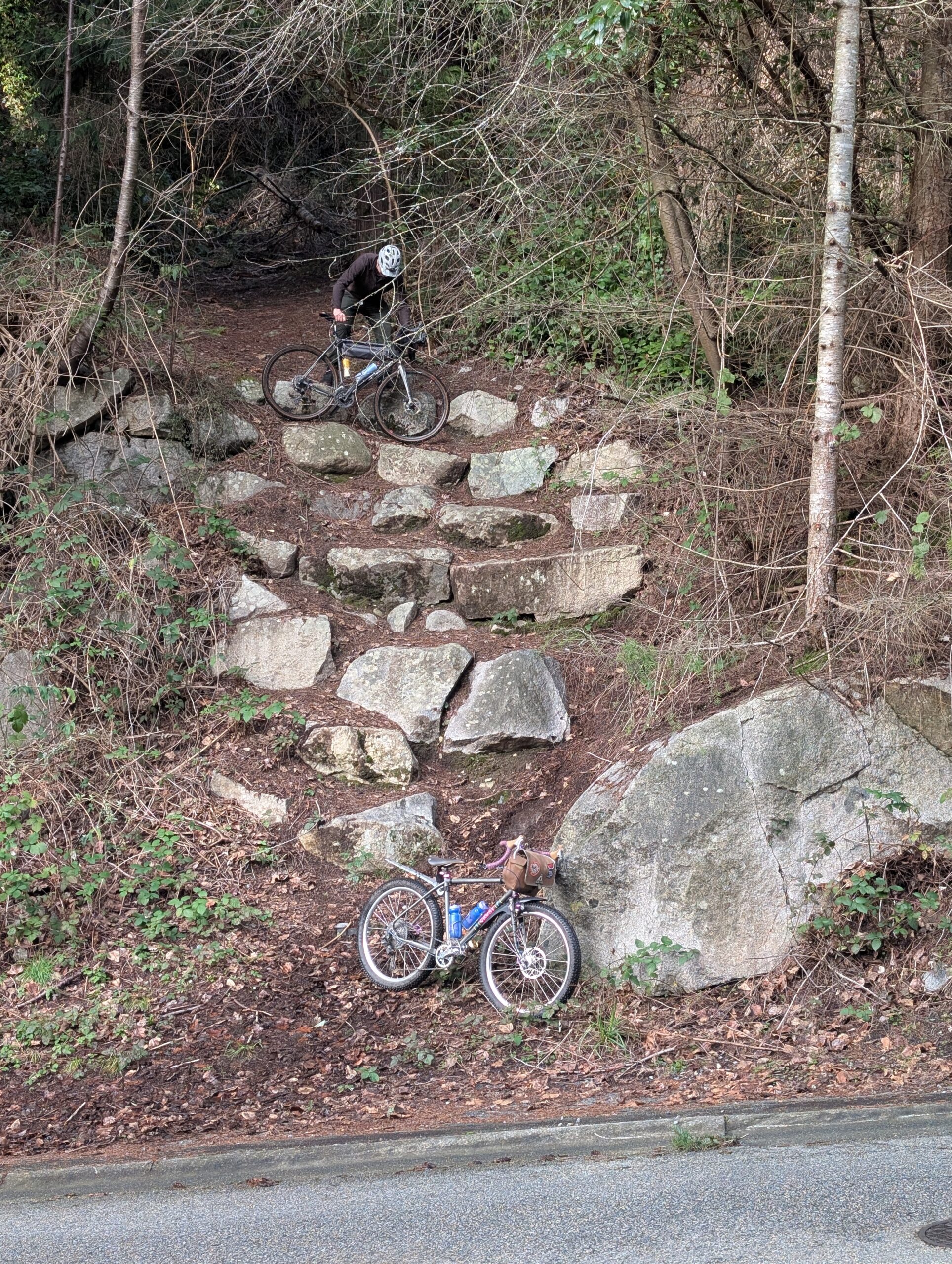
It was wide and well graded, but clearly abandoned at some point. It also got steeper and steeper until the comical exit to the road – a literal scramble down a series of retaining rocks. I have to imagine this trail had a clear vision at one point, but I’m not sure what the plan was at the bottom – perhaps some switchbacks?
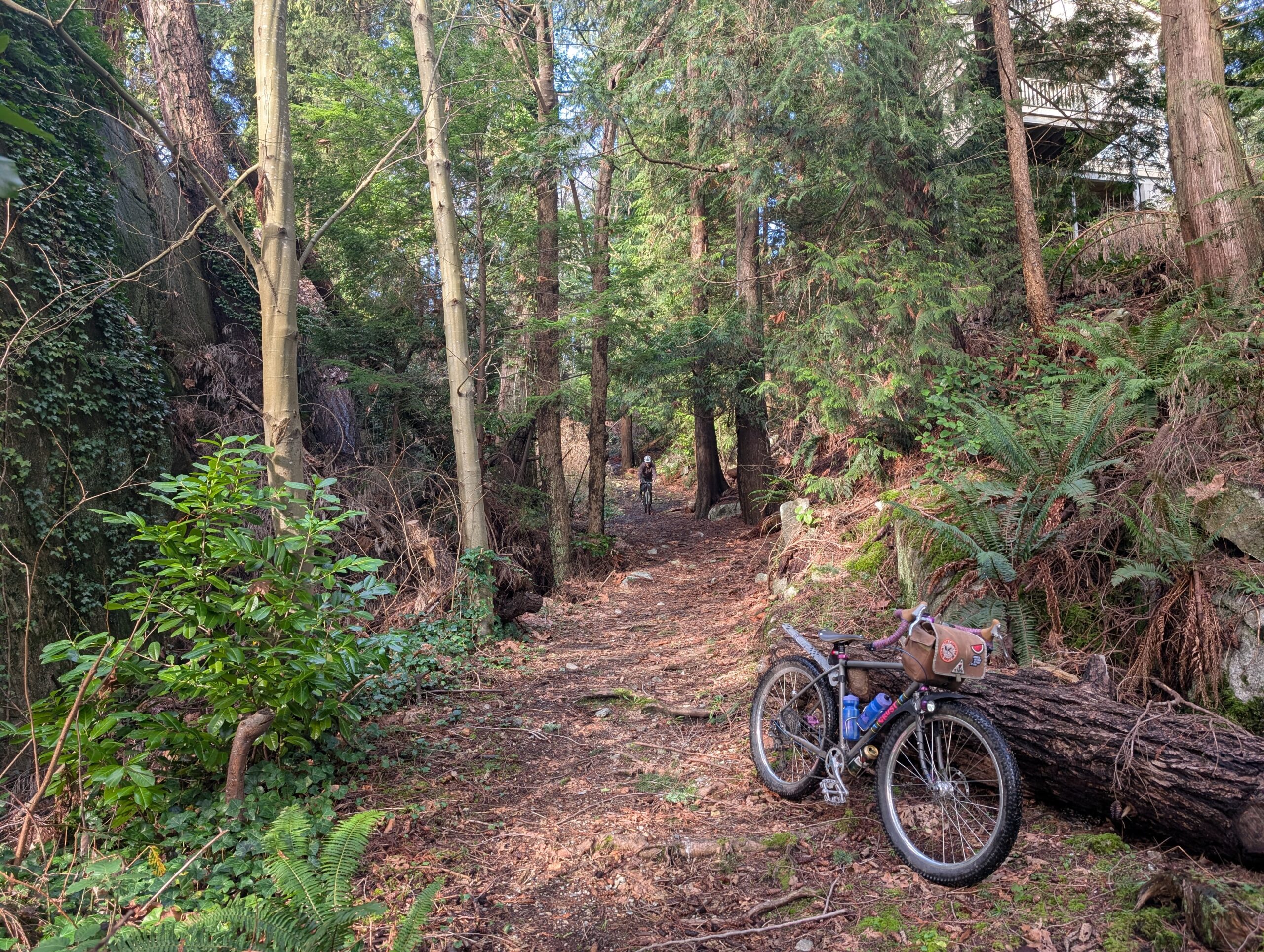
Regardless, it was a really fun little connection that actually ended up re-connecting to our original route without much fuss. The rest of the ride, of which there was plenty remaining, was much less note worthy, though just as pleasant. I took some muddy trails through Stanley Park and connected with friends for the seawall ride home.
Leave a Reply