
So, for a little while now I’ve been seeking out the oldest and biggest trees that are accessible from town via bike plus hike. I have some favourites in the Seymour valley and a few that I’m aware of but require a longer hike than I’ve been willing to make yet. A little while ago I found out about a grove of what I believe are old Douglas Firs on the east side of the Lynn mountain range, accessed off the LSCR parkway that I frequently ride, dubbed the Temple of Time.
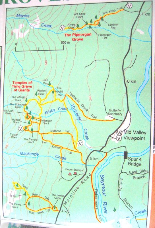
This map was already going out of circulation in 2004, and is from before the paved parkway trail went in (in 2006/2007 I believe?) which is uphill from the Mainline Rd shown. I’ll say this from the outset: I underestimated the terrain based on this map. We knew there would not likely be any trace of the trails left, though perhaps some flagging could still be intact to lead us along. But I underestimated how steep it is after the first bit of the approach. It quickly becomes steep enough you’ve got to use your hands and hold onto things, and navigating between and around the cliffs become a bit of a puzzle.
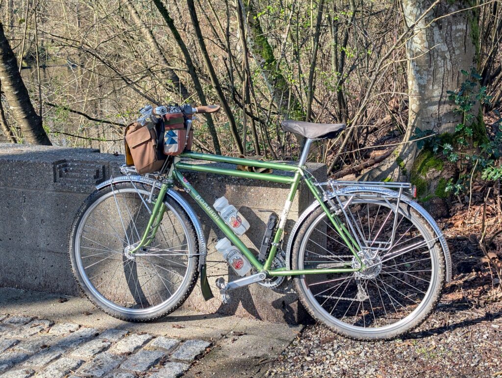
My bike of choice today was the Bombadil. Obviously by name it is very comfortable in the deep forest.
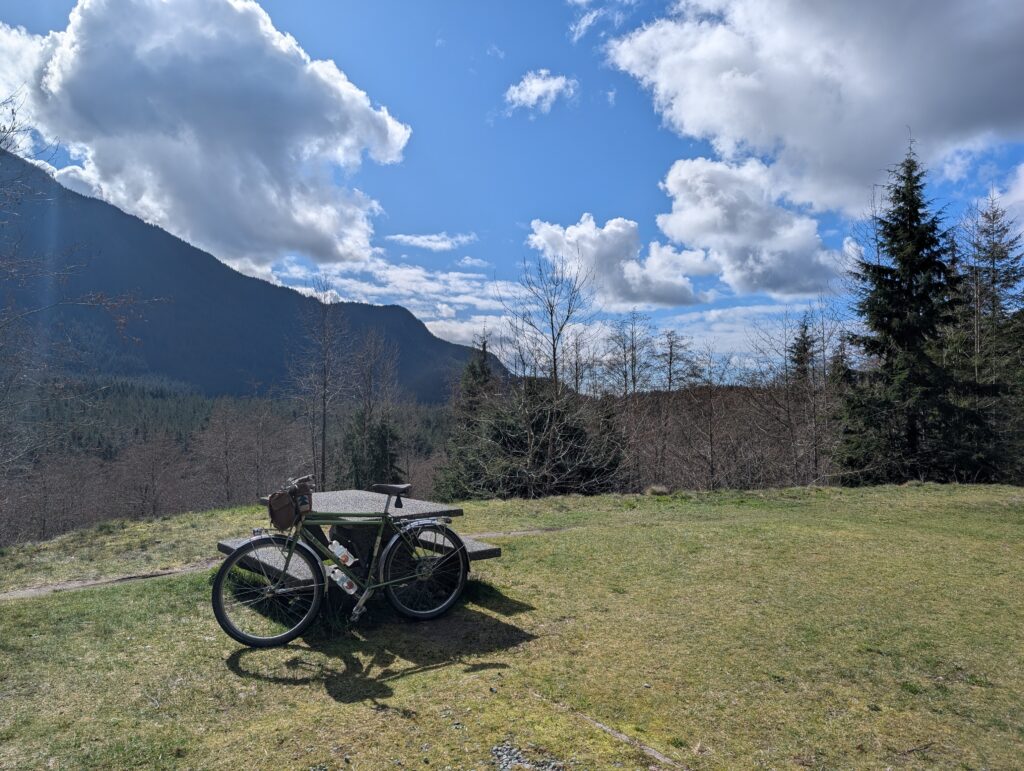
Below is the mid-valley lookout which was about 18 km into the ride and nearing the area where our hike would begin. Funny to think how small a fraction of the day’s effort this was.
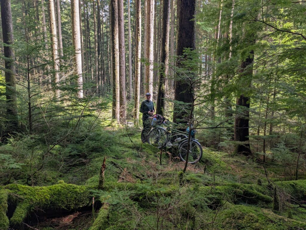
We rode up the connector trail and looked for a good spot to jump into the forest from the parkway. This is where we stashed our bikes, locked to each other. The popular paved trail is visible just 20 ft or so behind Tay, but nobody would be looking into the woods here.
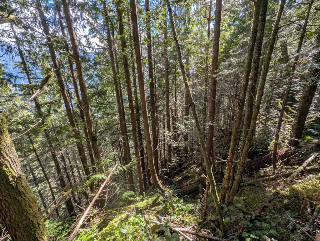
Where we locked our bikes was at 250m elevation. The trees we were looking for were in the 450-550m elevation range. Obviously 300m (about 1000 ft) is not inconsequential, but in my mind, this would be not too bad of a hike. The first stretch was like below – very chill and lovely. Soft ground, not too steep. This carried us up to about the 350m elevation mark.
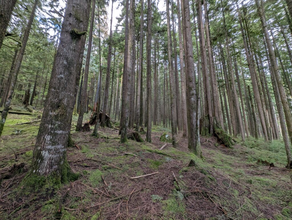
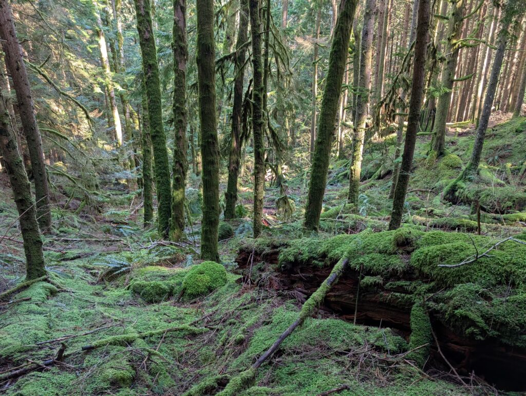
And the sun would break through sometimes and make everything even more beautiful. There’s been a lot of rain lately so every stream was running, even the ones that are usually dry. The forest is simultaneously so full of beauty I can hardly stand it, but also such a young and recovering forest that would have been so much more impactful, awe inspiring, and healthy if it hadn’t been decimated by logging 100 years ago.
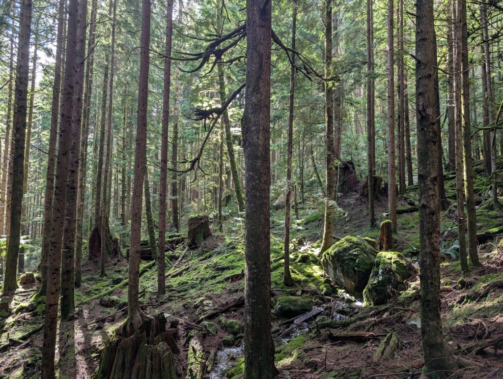
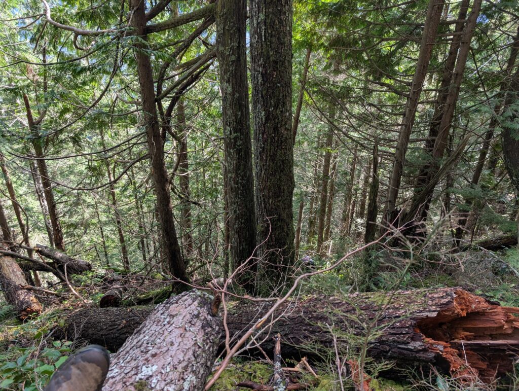
It was not unexpected that things got steeper after this. I was expecting some amount of steep. I was in perfectly good spirits about it, partly because we were starting to see some pretty old Douglas Firs and Hemlocks too. The payoff ratio was pretty good at this point.
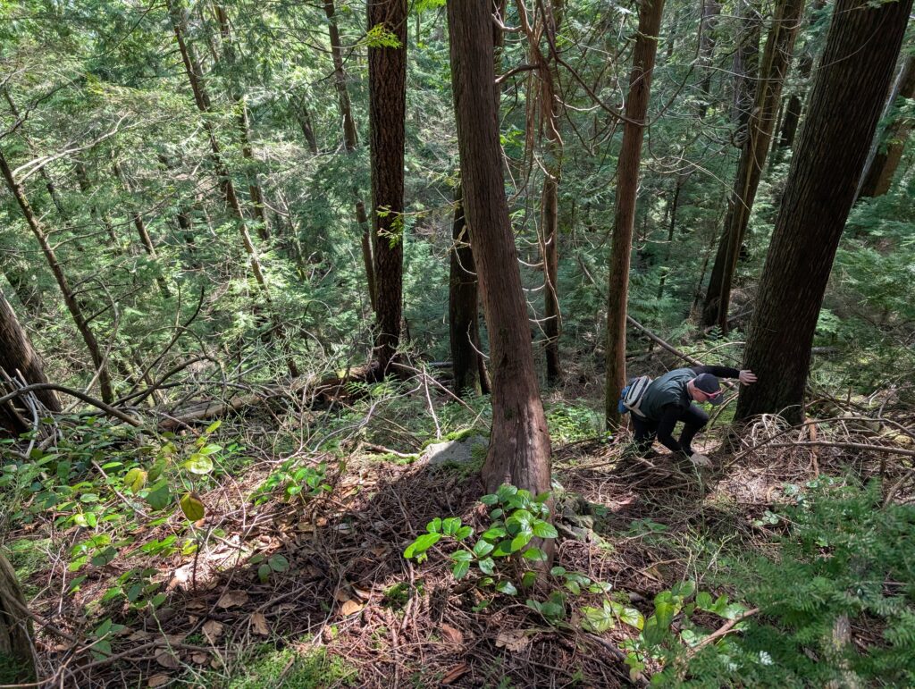
From about 350m onwards, it got really steep. I was using my hands as much as my feet, and grabbing hold of whatever was available to scramble up the slope. It wasn’t quite steep enough to be considered exposure in itself, but getting pretty close.
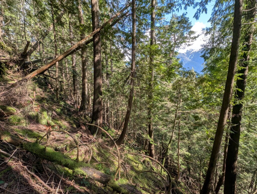
But we were also discovering that sheer cliff faces were abound. The photo below doesn’t really show it, but the reason for that nice peek-a-boo view of the mountains across the valley is in large part due to the tall cliffs only a stone’s throw away.
Looking down at what we’d just clamoured up, below. Photos never do justice, of course. You have to point the lens downhill to get the terrain in view, which makes everything look flat. But taking that into consideration, I think you can probably tell that this is pretty much a “if you fall, you’ll keep going until you hit something” level of steep.
A “Where’s Waldo” type of game, can you see Tay below me as I rest on a fallen log above? At this point we were as high, or higher, than our elevation target but we couldn’t find a way to traverse to where we needed to be due to the aforementioned cliffs in our way. We were both acutely aware that any poor judgement in this terrain could put us in an unsafe situation.
We climbed up to 660m trying to get around the cliffs, and we found a section of the steep ravine that was maybe okay. I got about halfway across and started to get a bad feeling about it. As I turned around, I faced directly downhill, and I felt the blood drain from my face as I stared down a chute hundreds of feet long, steep enough that I wouldn’t stand a chance of stopping on. That was a clear “well, this was fun, time to go back” moment for me.
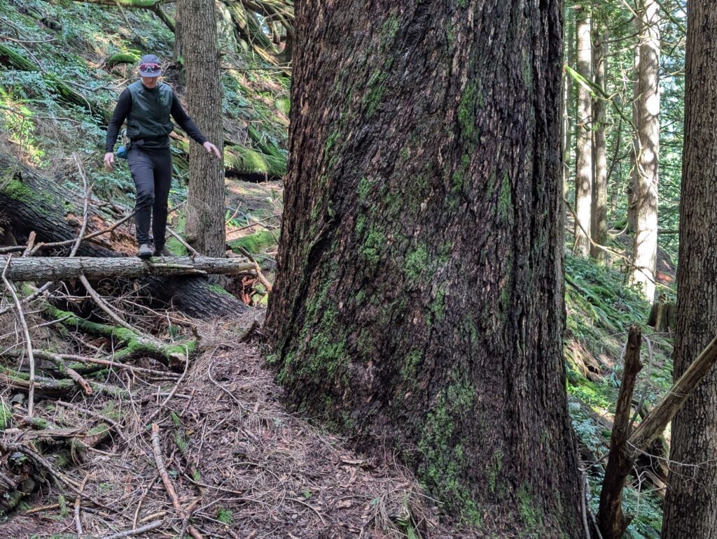
Tay was adamant, and smartly so, that we take the same route down – because otherwise, we don’t know what situation we could find ourselves in. As we made our way, we surveyed the terrain carefully and were able to identify some shortcuts that didn’t pose a risk. In doing so, we actually came across the biggest tree of the day, the ~9ft diameter Douglas fire shown below. What’s a bit ironic is that it’s located at 370m elevation and the approach from where we’d parked our bikes to this tree is quite tame versus what we’d just been through.
While we didn’t reach the trees on the map, we’d had a really good time being immersed and humbled by the forest.
Leave a Reply