As the fella behind Bike Portage Club and the organizer of Burnabop XL Day, I’ve been wanting to do a Port Moody version for a few years now. I’ve done a few rides in the Bert Flinn trail network as well as the assortment of neighbourhood trails nearby – but there were trails around Buntzen Lake which I have not personally tried. There was also a route over Sugar Mountain that connected nicely with the Buntzen loop. Today I explored a portion of these.
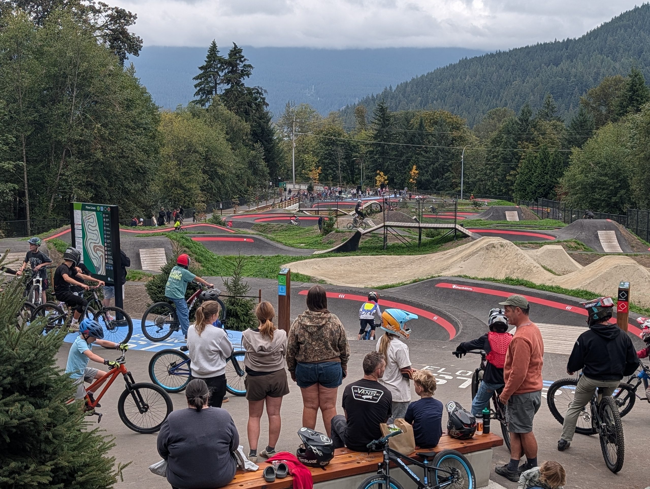
Riding from my place in East Van and knowing I had a lot of hard miles ahead of me, I took the path of least resistance on the way to Port Moody via Barnet Highway. This took me right past the recently re-opened and massively upgraded Barnet Skills Park, so I stopped by to check it out. It was absolutely packed, unsurprisingly.
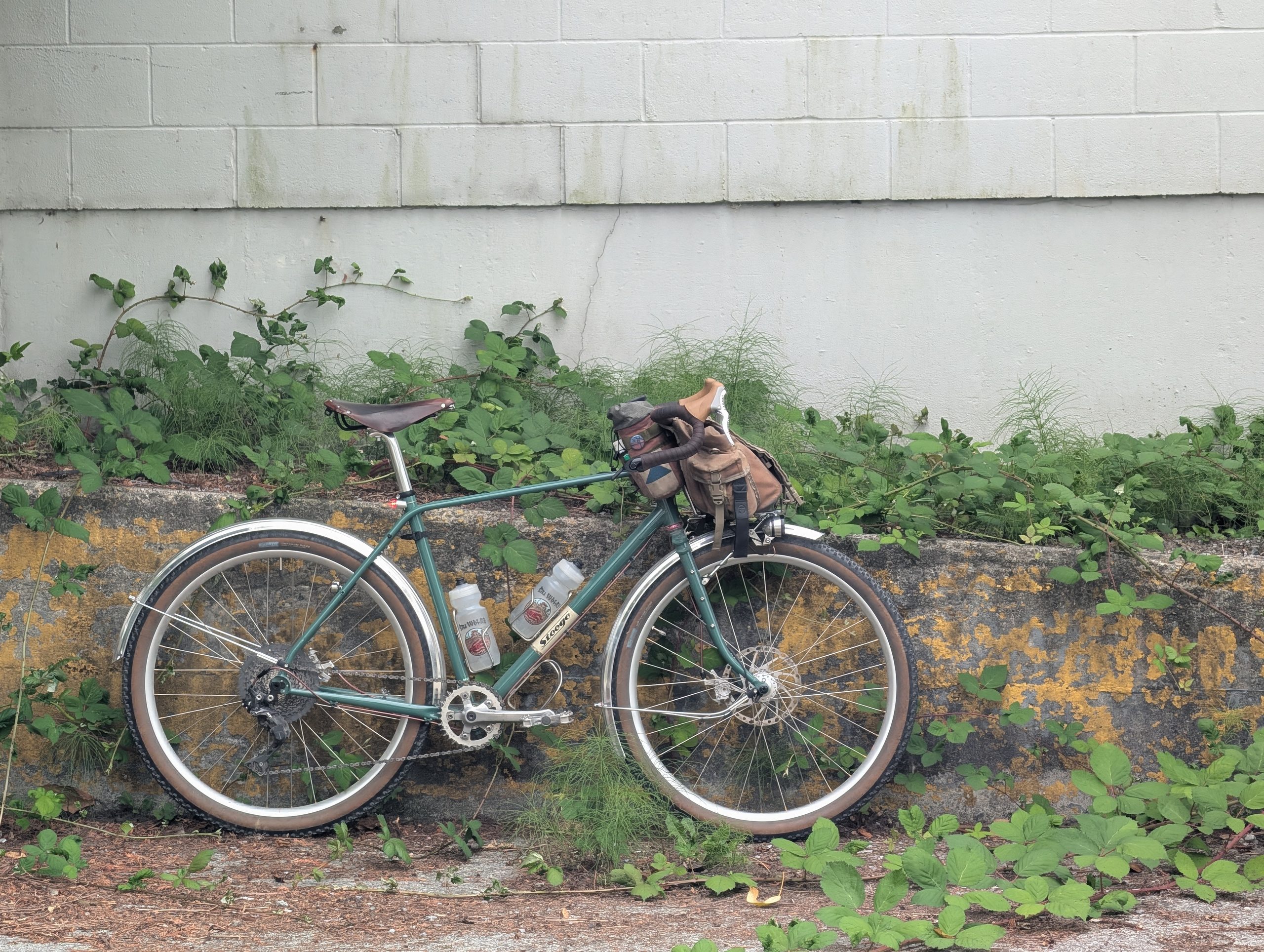
Once in Port Moody proper, I decided to get a driveside photo of the Rambler out of the way when I saw a good backdrop. I feel like I’ve finally built the appropriate bike for my preferred rides, though I’ve happily ridden these routes on the “wrong” bike until now.
I rode past Rocky Point park on the way out to the trails at low tide, but returned at high tide. Goes to show how long I spent in the woods, I guess! This spot is about 18km from my place too, so a fair bit of riding either side of this spot.


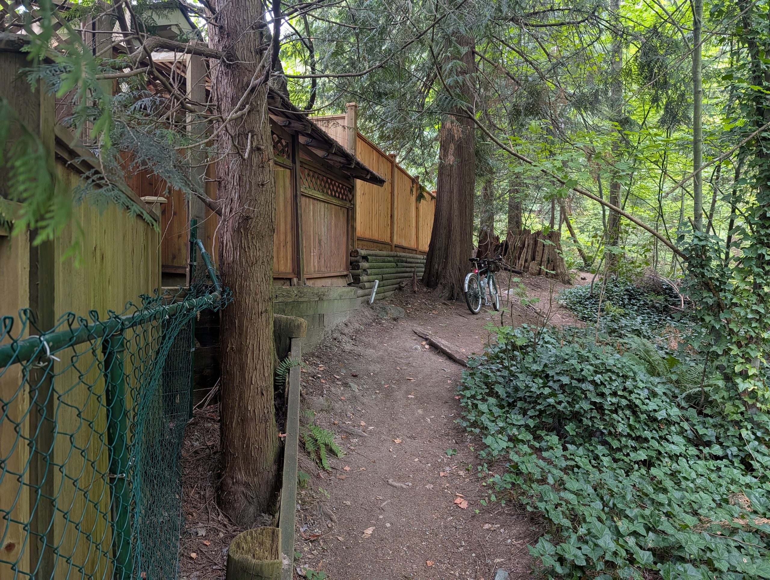
The next hour was spent doing some trial-and-error climbing from sea level up into the Heritage Mountain community in Port Moody. I haven’t quite figured out how to best connect things, but there’s a lot of fun cheeky paths and trails to get up the hill. Only one deep ravine has no currently passable route and does require a short road detour around.


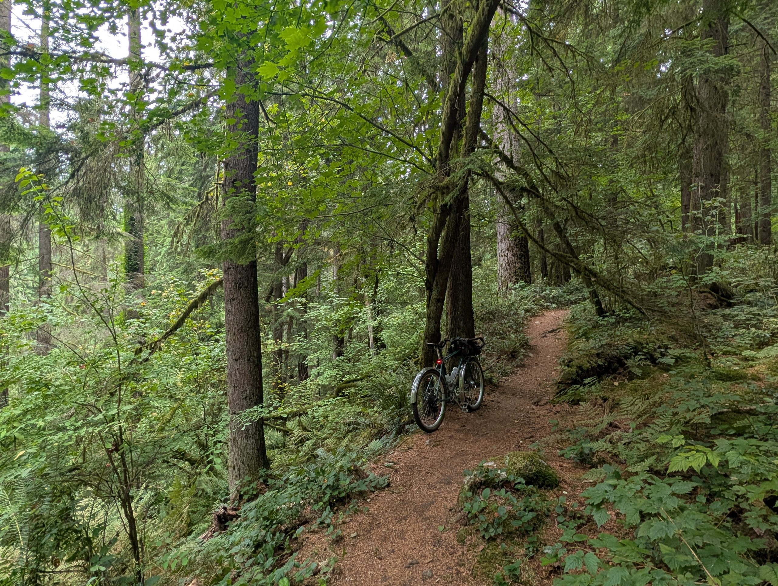
I got into the Bert Flinn trail network, which is made up of green and blue MTB trails that can largely be ridden on a gravel bike (with some MTB skills). I was having so much fun that I forgot I was not supposed to descend nearly as far as I did, and I had to backtrack back up…

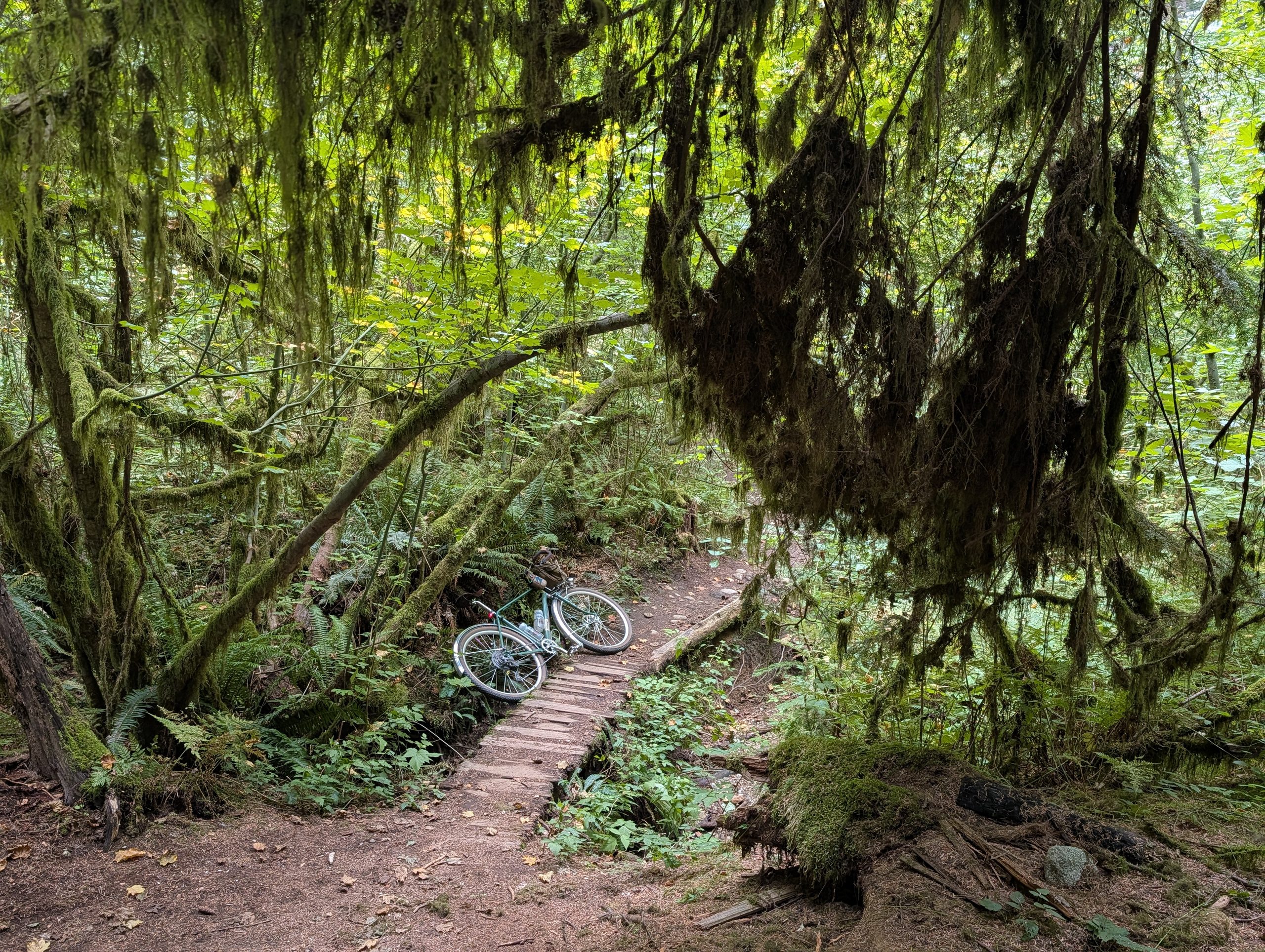
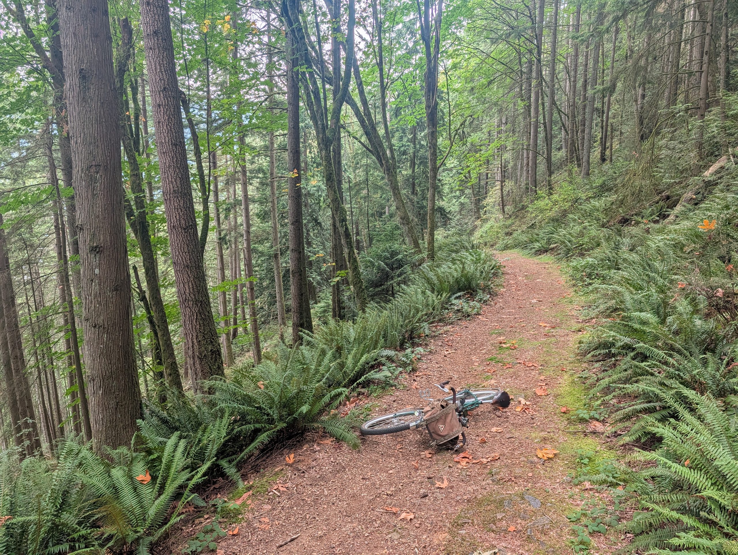
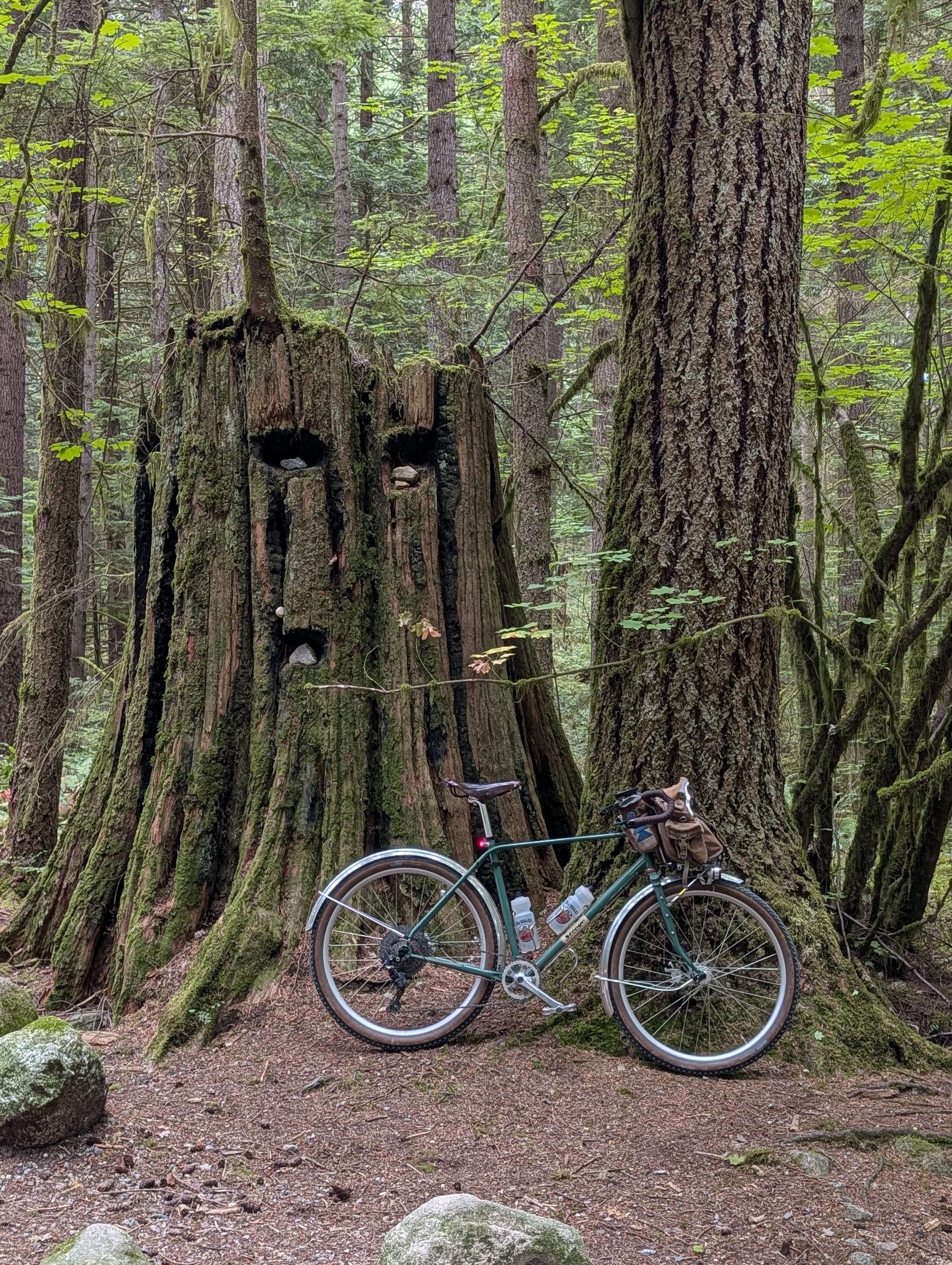
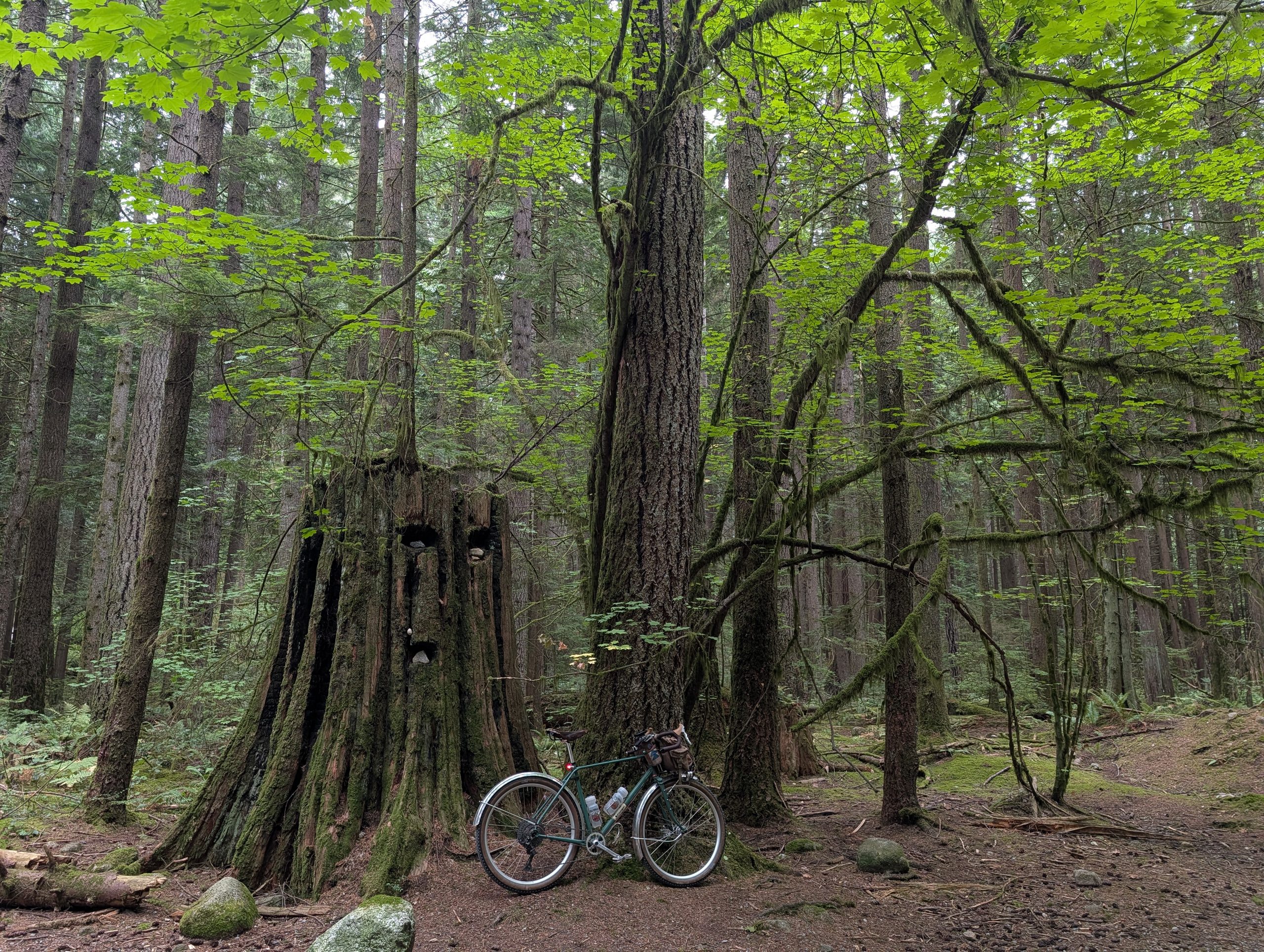
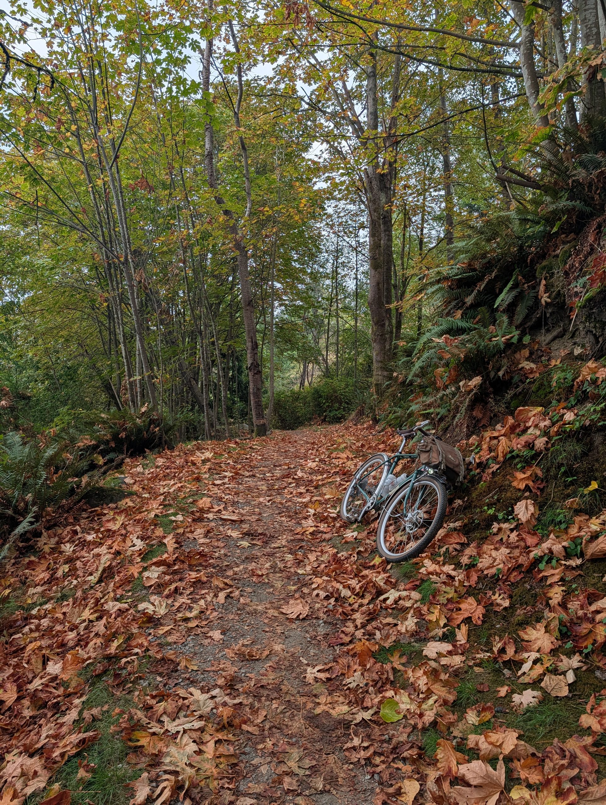
But this turned out to be a blessing in disguise because the trail I took back up the hill turned out to be one of my favourites of the day. Here are two photos showcasing its beauty:

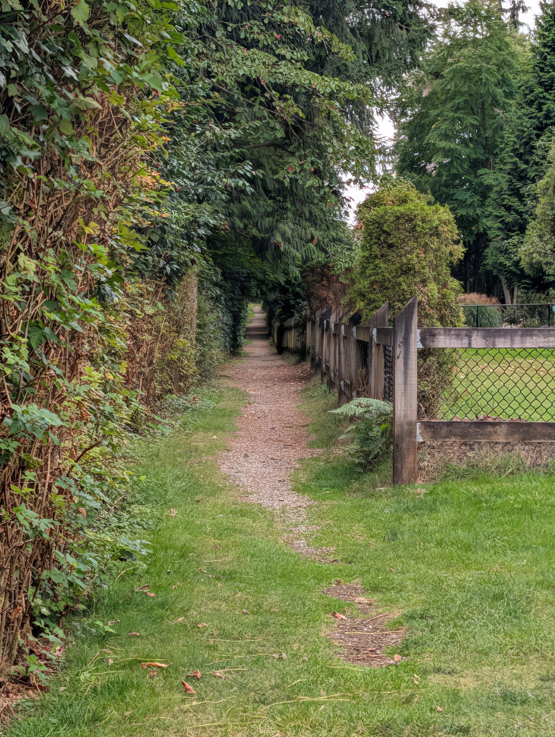
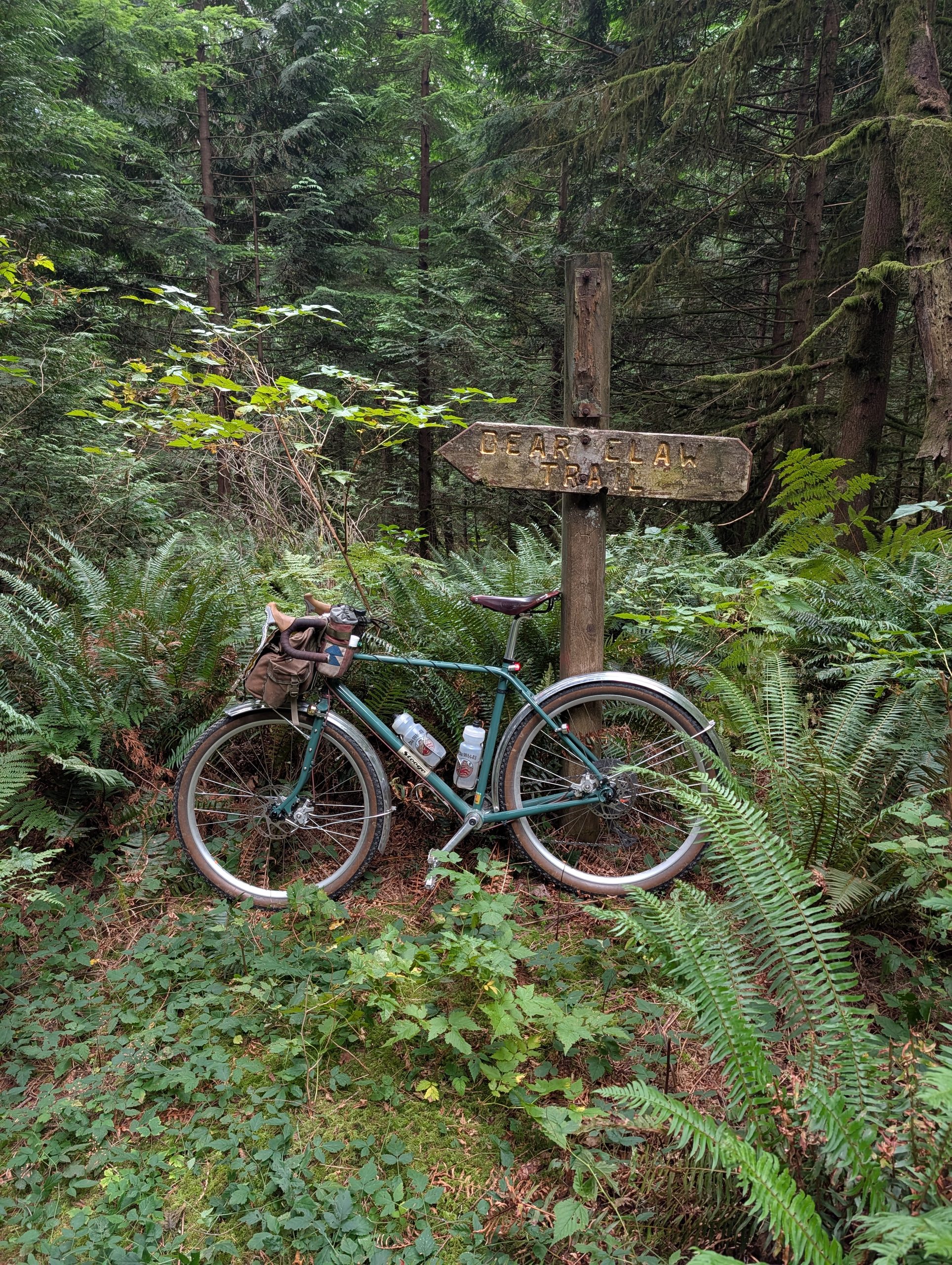
Getting to Buntzen / Sugar Mountain required a bit of a traverse with some rolling hills; I was very pleased to find that the dotted line with little heatmap activity was in fact, an awesome cut-through (below, right). Some sections of trail were nearly overgrown but no bushwhacking was required for the day.

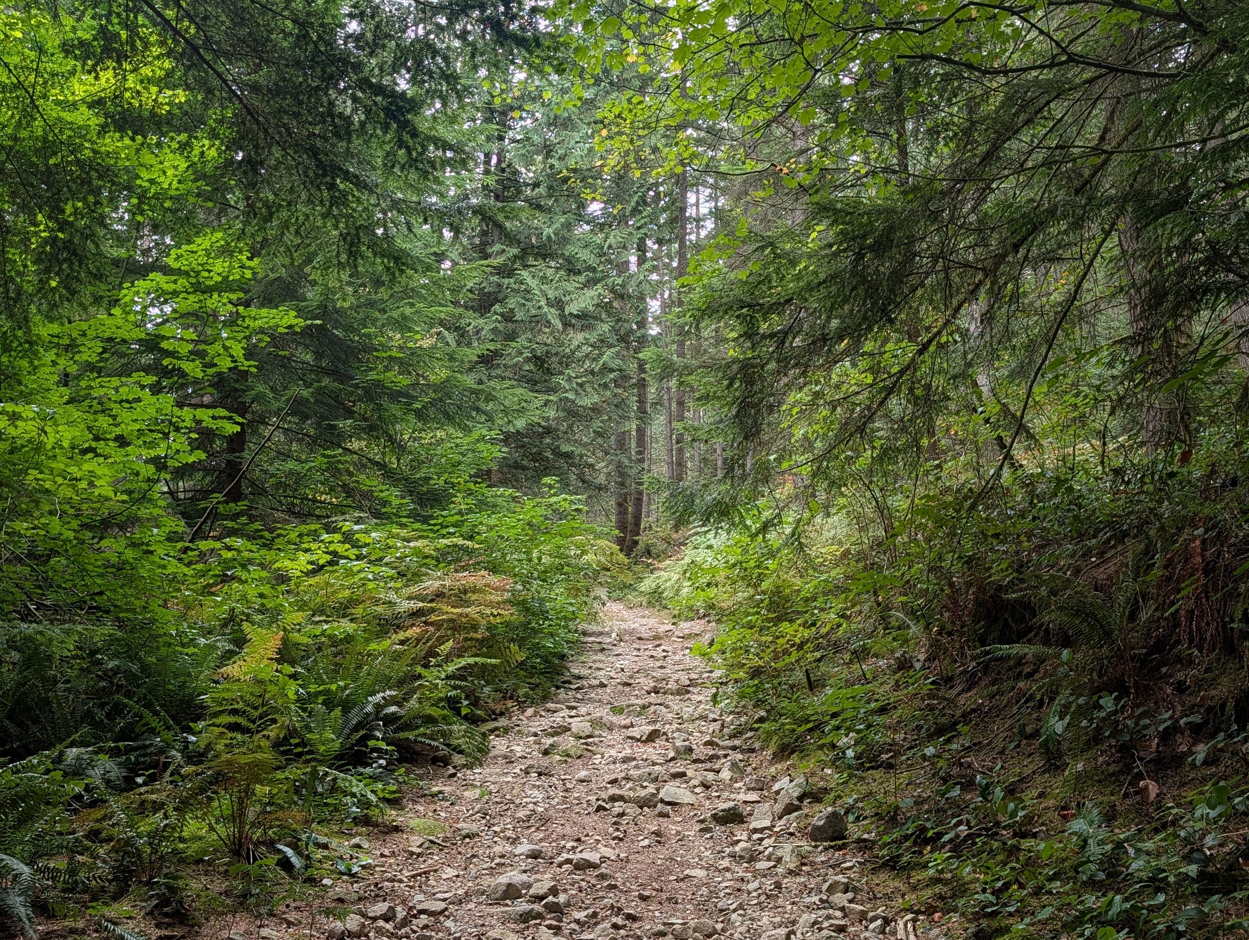
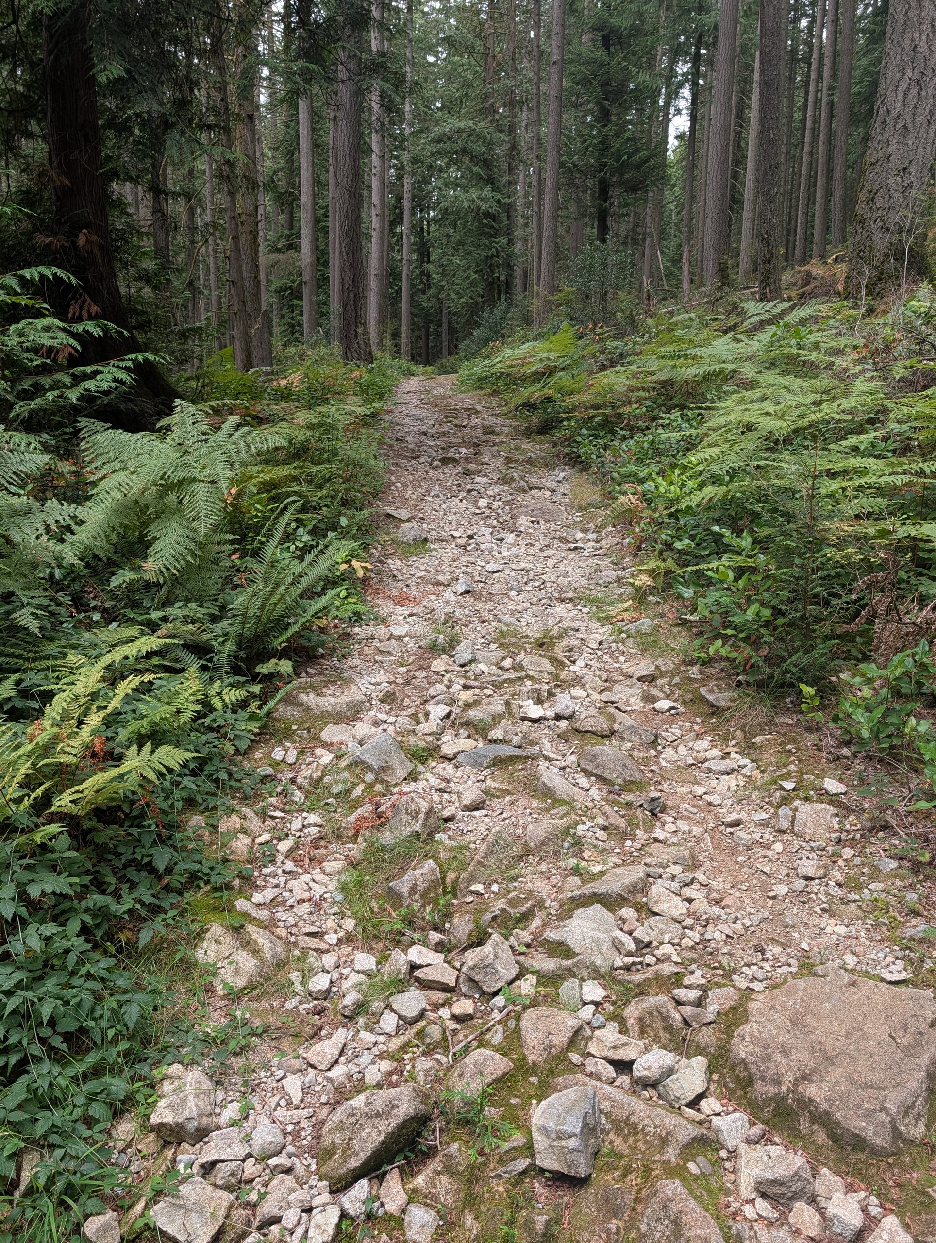
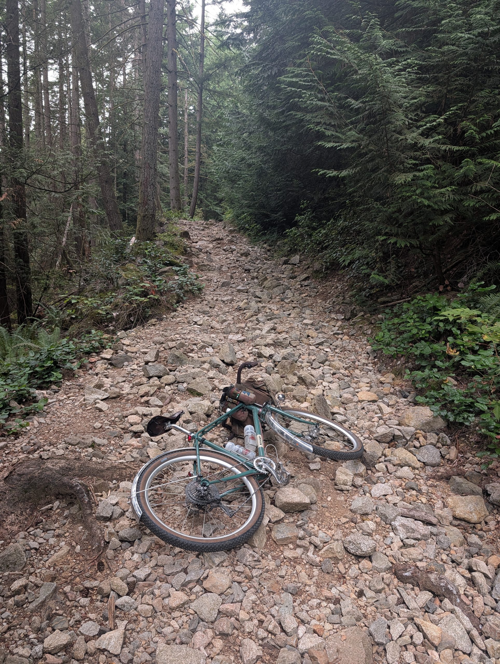
The ascent of Sugar Mountain was going to be tough, I knew this already from a friend Nathan. It reminded me a lot of the Brother Creek “FSR” on Cypress, basically hiking up a steep riverbed in terms of rock size. It would be dangerous to impossible to ride down this on anything short of an enduro bike, so I’m convinced this needs to be a climb for the route.


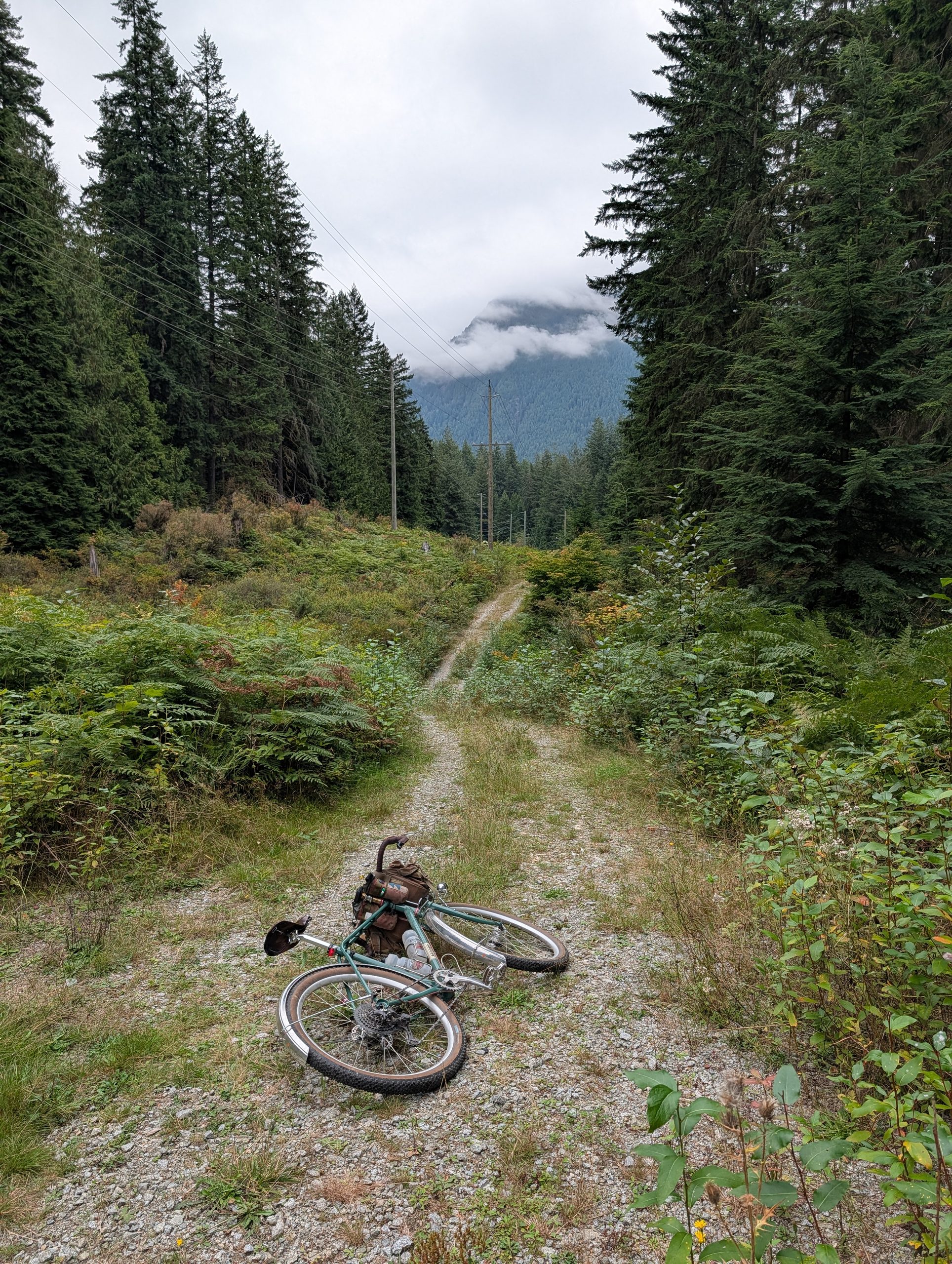
For quite a while, the climb looked like below. Expectedly, I did not see another human the whole time. Very few people go up this way as far as I know!
I had accepted my fate that I’d be hiking my bike all the way to the descent, but I was overjoyed when the trail surface changed suddenly to smooth dirt. At this point I was nearing the north end of the route and the descent was not far off.
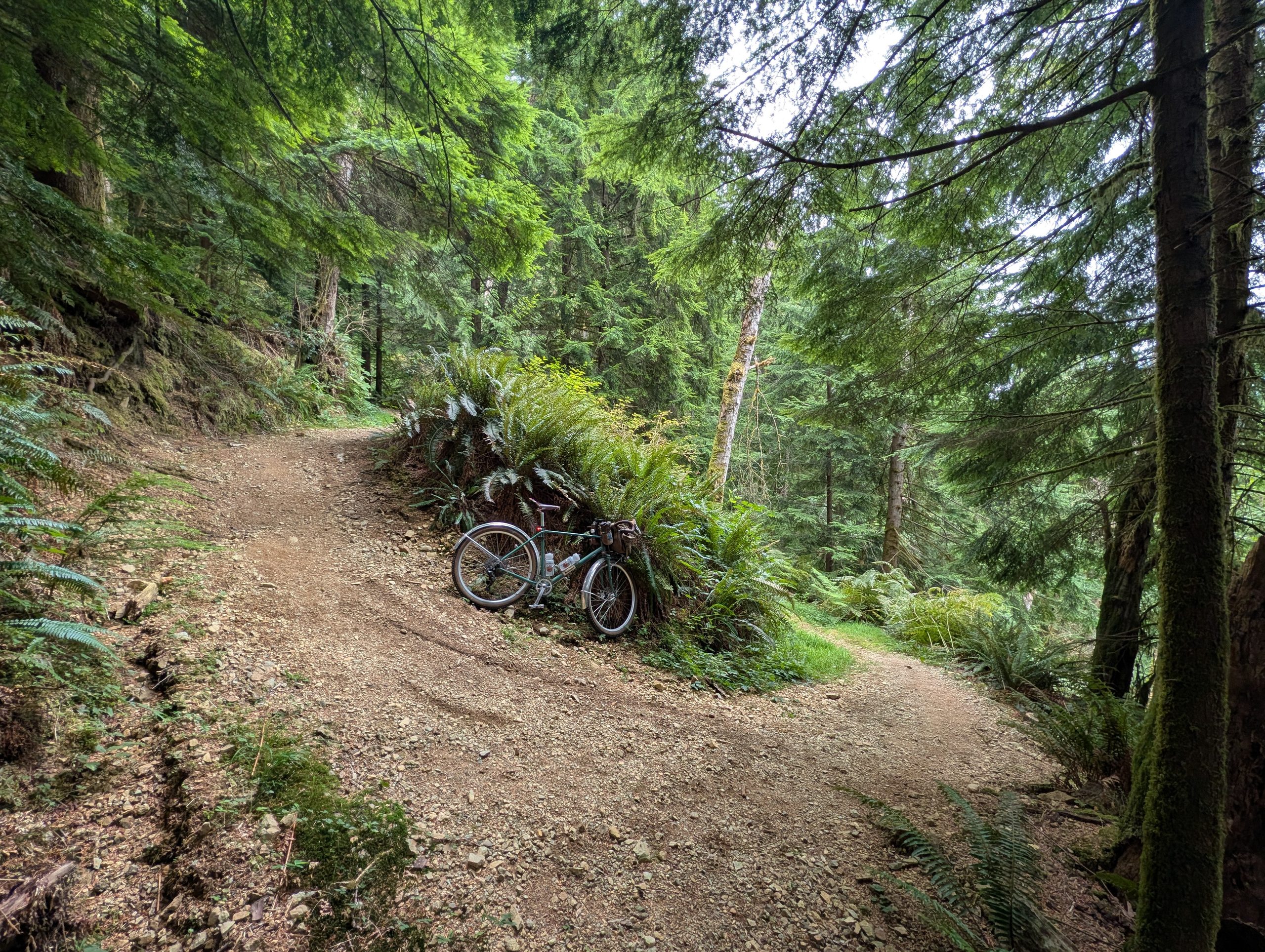
One final push and I was on the Buntzen side of the hill, where a rather steep and loose set of switchbacks dumped elevation quickly.


My plan was to save the loop around the lake for next time (with a friend or two, since it’s quite remote) but I did ride the first stretch of Lakeview trail to get a feel for it. I was pleasantly surprised by its condition – rooty enough that it was partly hike-a-bike, but also a fair bit of it’s rideable as well.
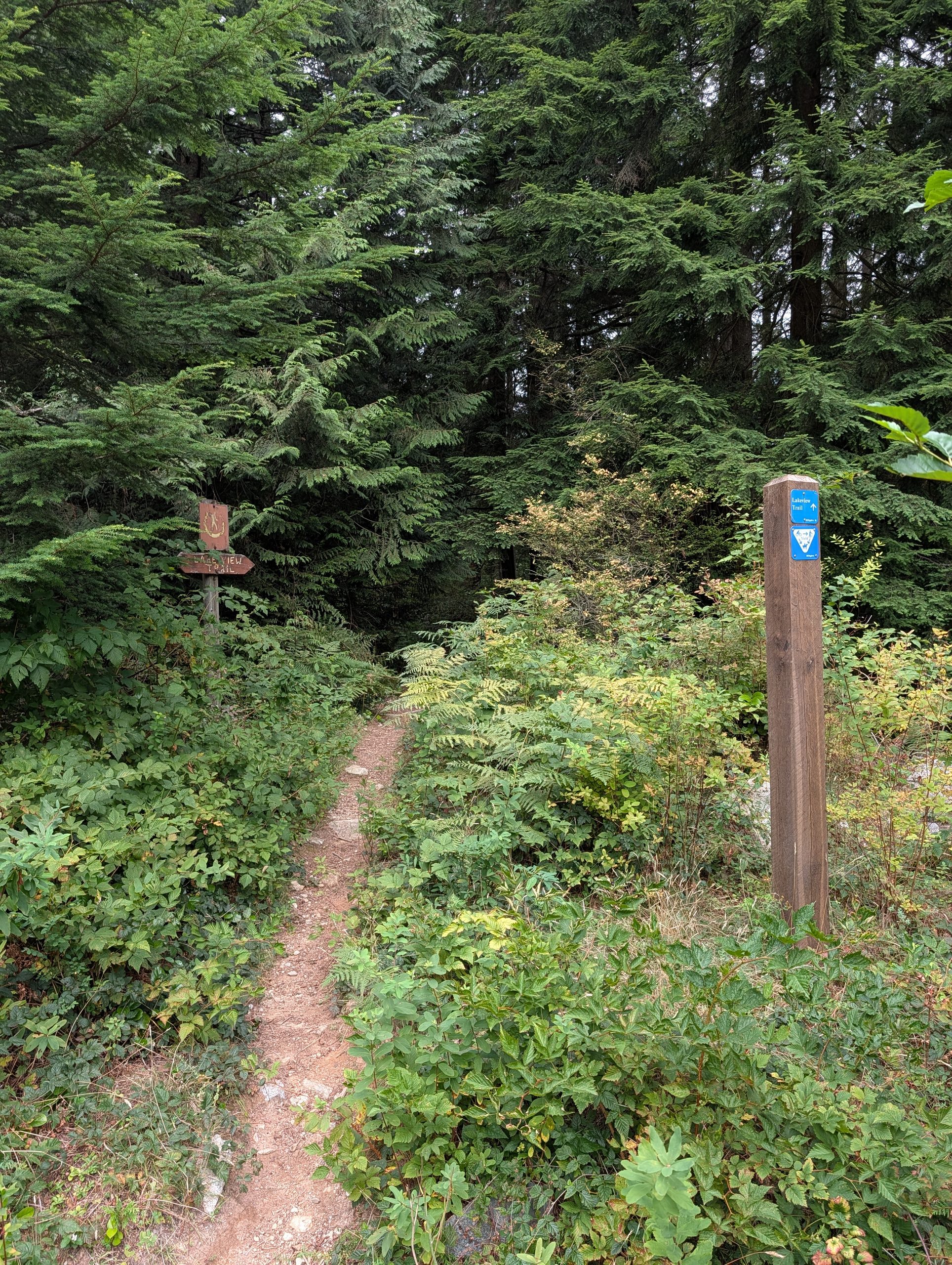
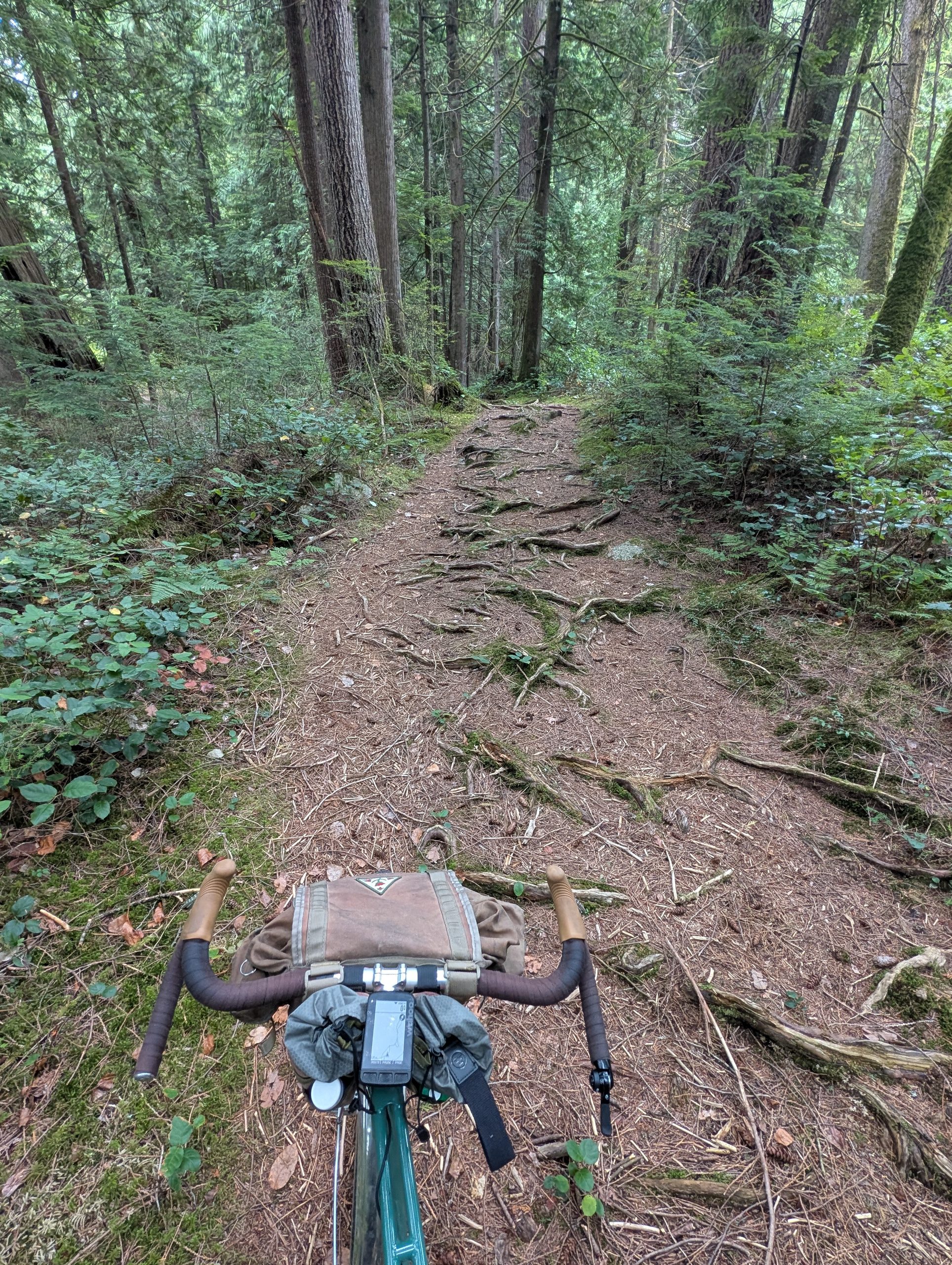

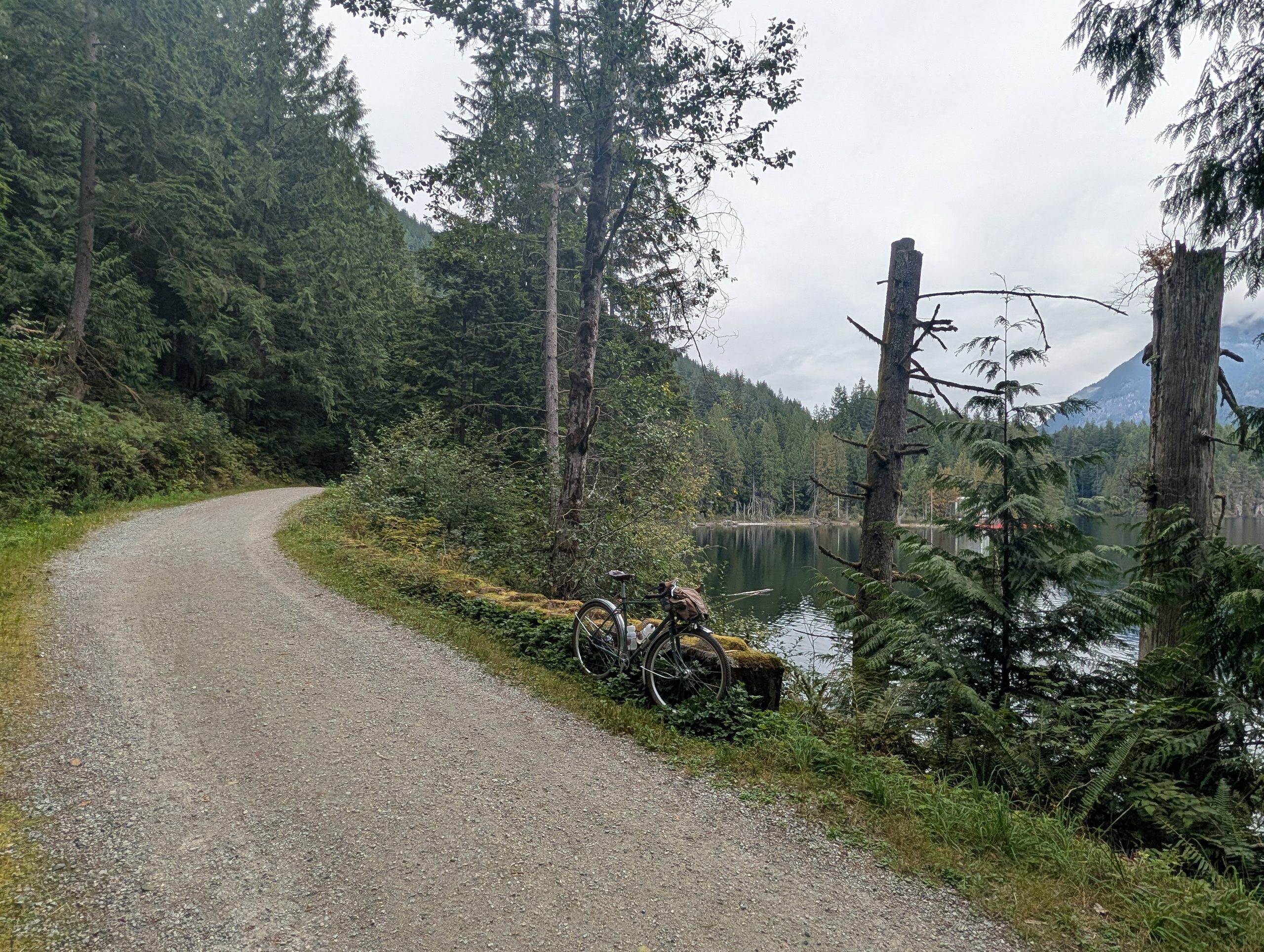
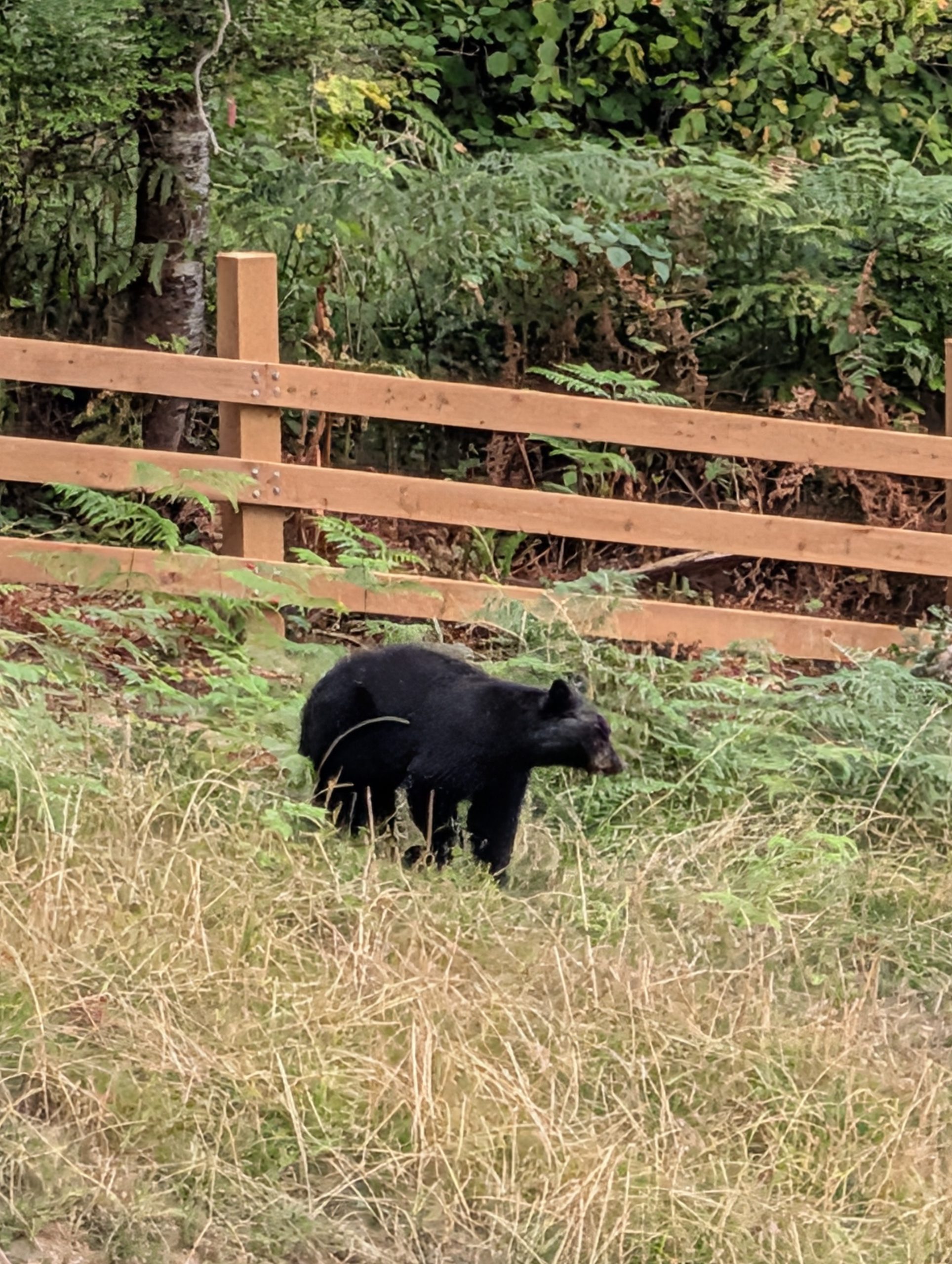
I turned around shortly after passing a hiker (the only person I had seen in the past two hours) who warned me that the next section was “bear central”. I figure that was as good a sign as any that I’d explored far enough for today. I headed back and stopped at the lake:

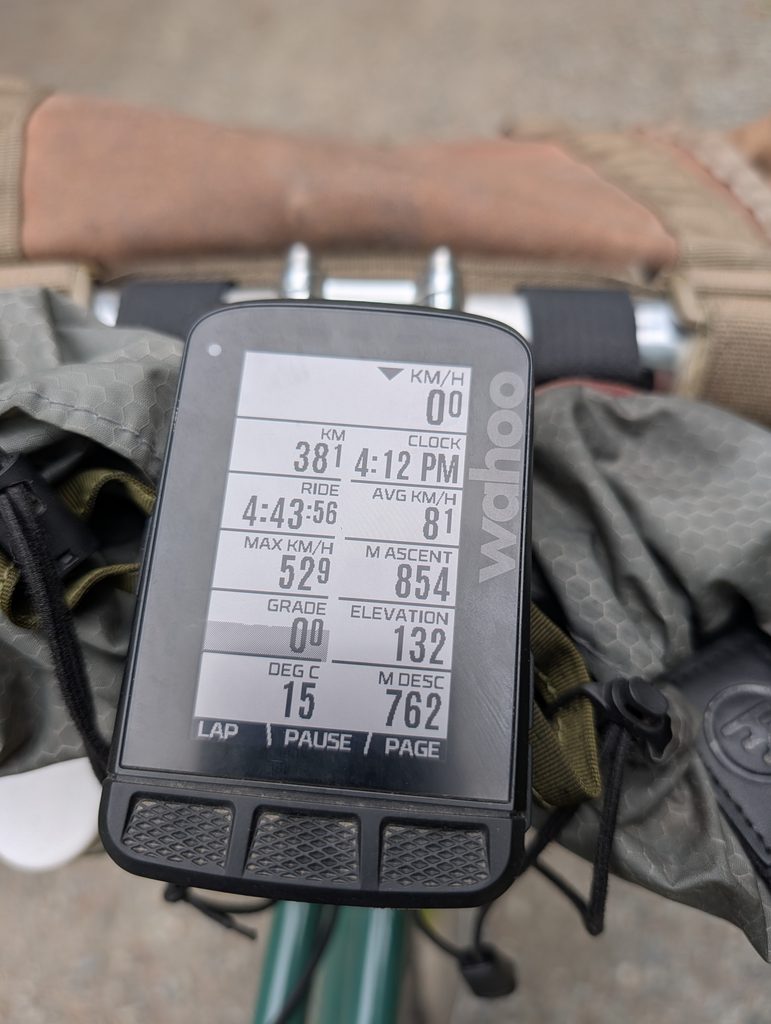
As I started heading back south, I noticed the distance to elevation ratio was over 200m per 10 km, which is what I would define as “pretty damn hilly”.




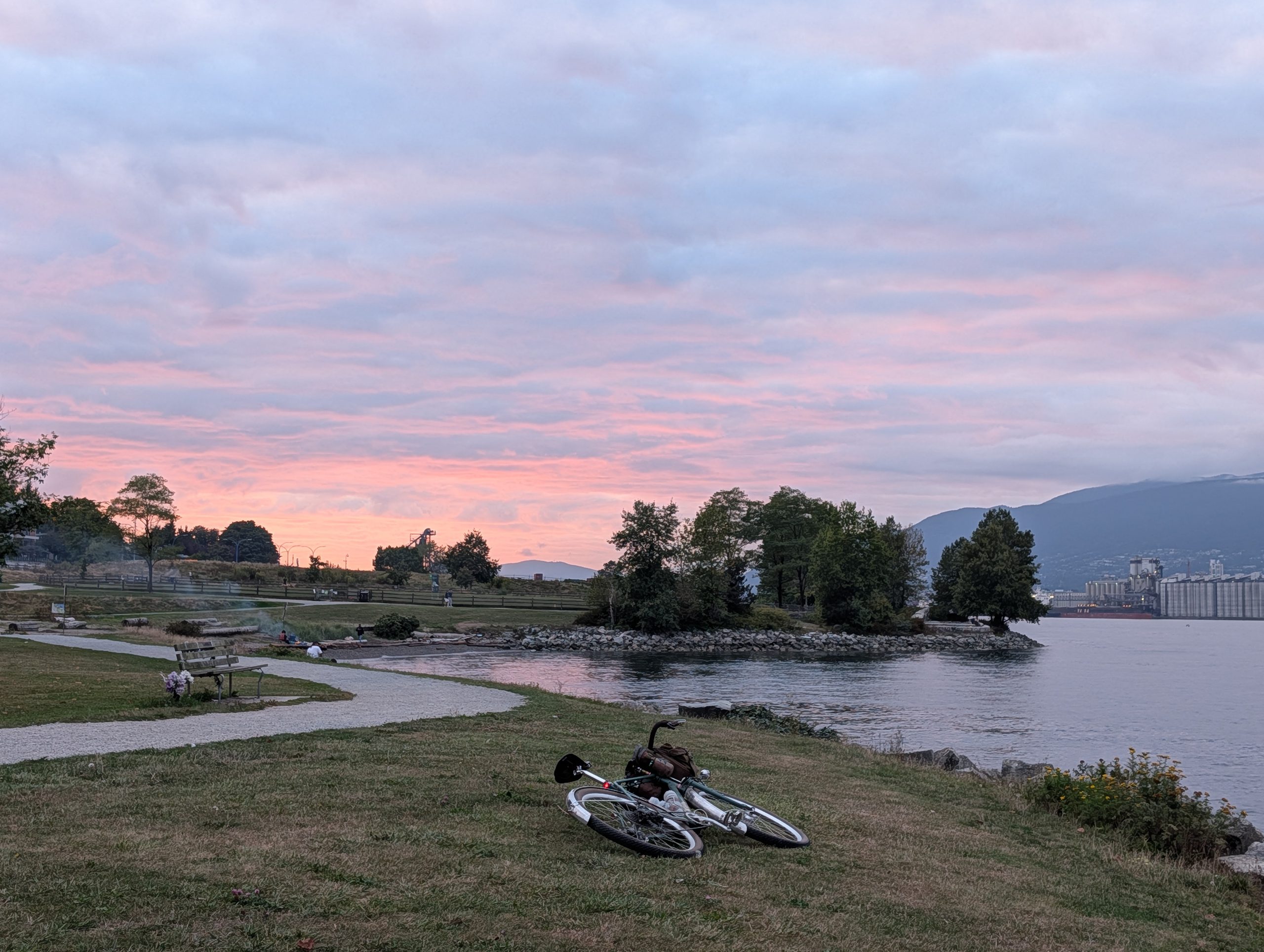
The earlier sunsets are evident these days, but at least this was a good one.
In the end, it was about 73km with over 1300m elevation, and much of the elevation was concentrated in a tough few kilometres. It was a very successful outing and I’m certainly planning to include a fair bit of this in the final route – it’s going to be a real doozy, though!
Leave a Reply