It’s not a great name. The reason it has this name is because it’s at the base of what is called suicide bluff, a predictably steep and treacherous bit of topography along the west side of Seymour mountain. Nevertheless, I had this far-fetched idea to try to connect from the end of Suicide Branch, a dead-end spur deep in the Lower Seymour valley, through the woods along the east side of the Seymour river to Bottletop trail, four kilometres south. I wanted to call this “trail” Suicide Dream based on one of my favourite songs.
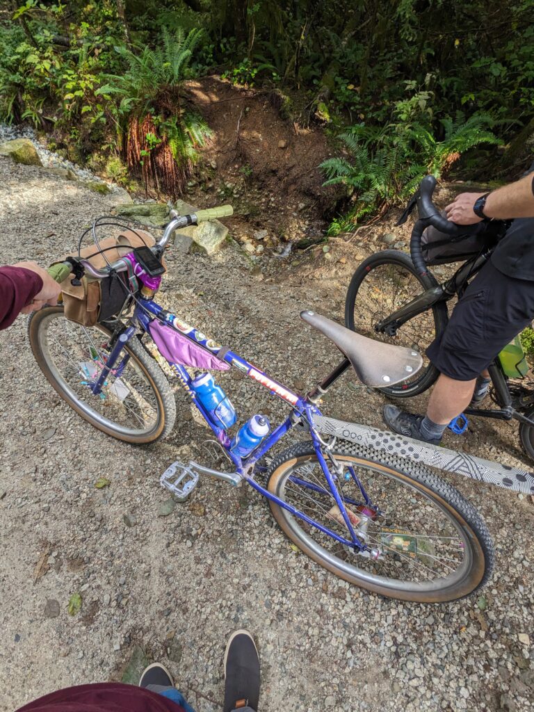
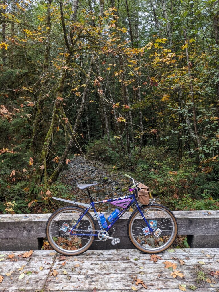
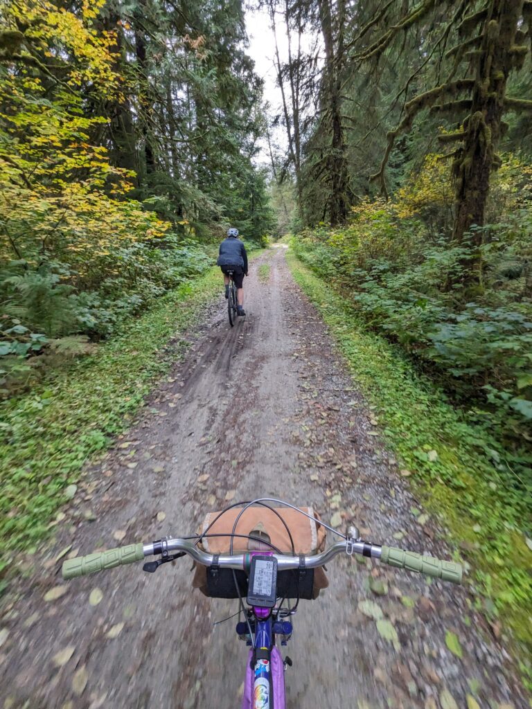
I knew it was a long shot, but I enlisted a friend who is always up for a silly ride Rob. I took my Wombat, with its single 2:1 gear.
I had been down Suicide Branch twice before. As mentioned it doesn’t go anywhere, and it’s well out of the way. The first time I felt pretty spooked by the fact that virtually no one goes down the trail, thinking about cougars and bears, and chose to turn around after maybe 600 or 800 metres. The second time I made it further, only to have a branch get caught in my front wheel/fender and throw me over the bars at speed. Thankfully I was not terribly injured and able to ride out, but it was a sobering experience – no cell service, nobody likely to find me for days. I was not willing to go back down this trail alone. The name should have made me come to my senses earlier.
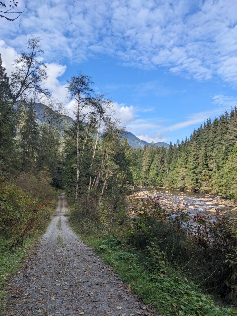
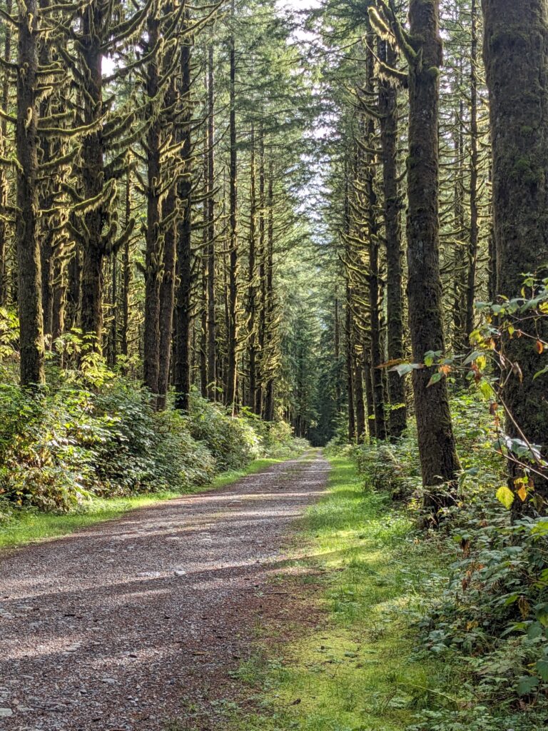
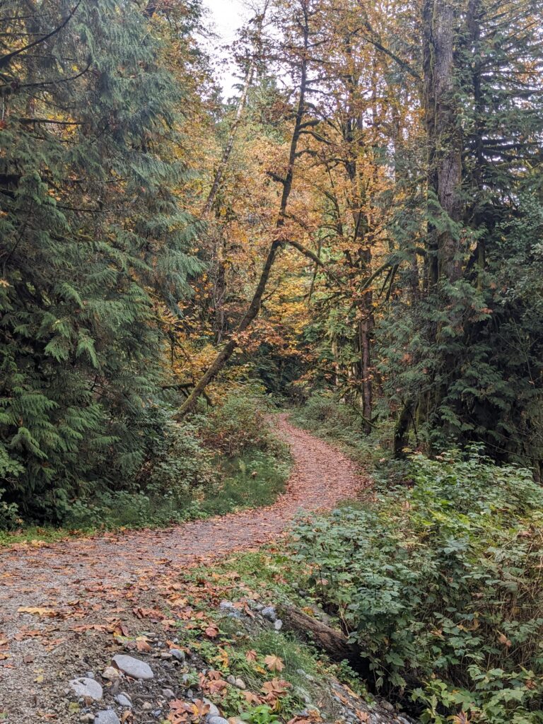
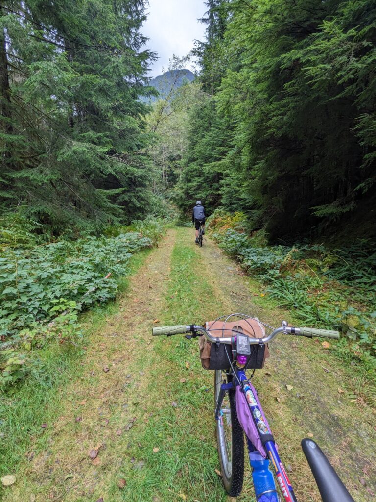
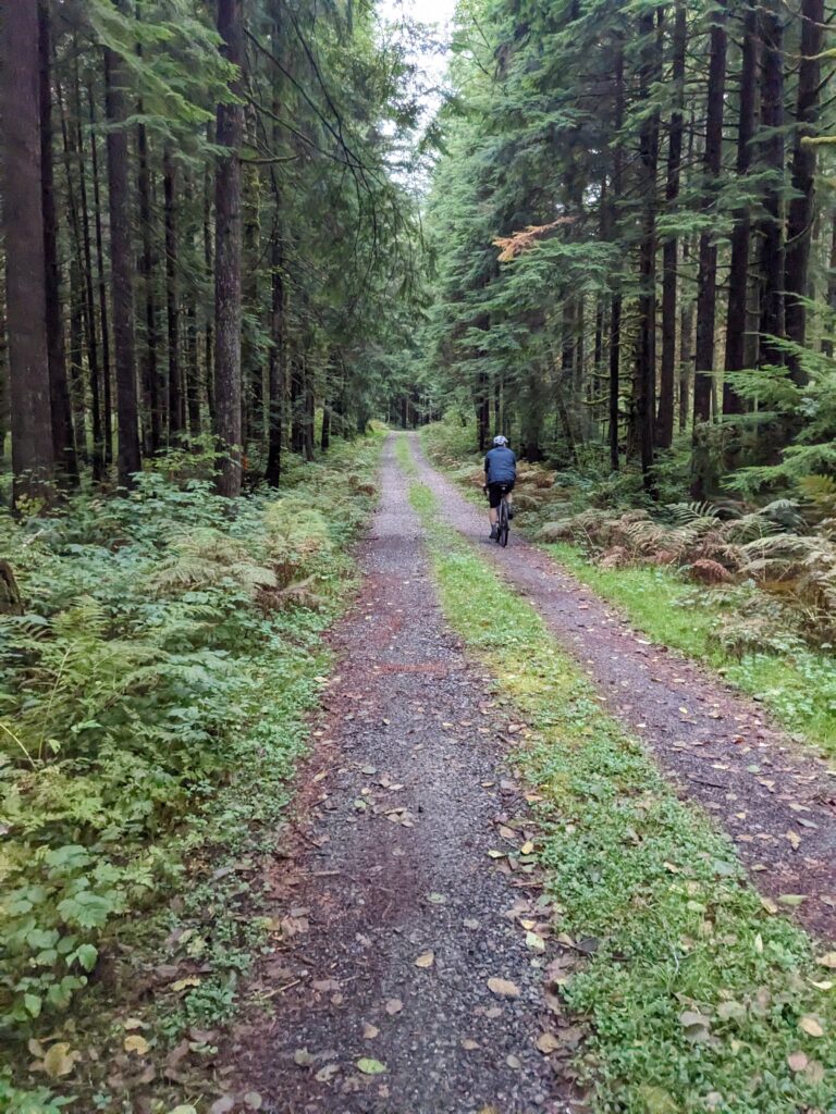
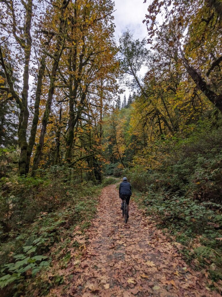
It was a beautiful early October day, a really special time to be in the north shore mountains. Big leaf maples were bright orange and dropping leaves, and all the greens were more saturated than they are in late summer. The ride out to Suicide Branch was Fisherman’s trail, which is a beautiful double track trail that hugs the west edge of the Seymour river.
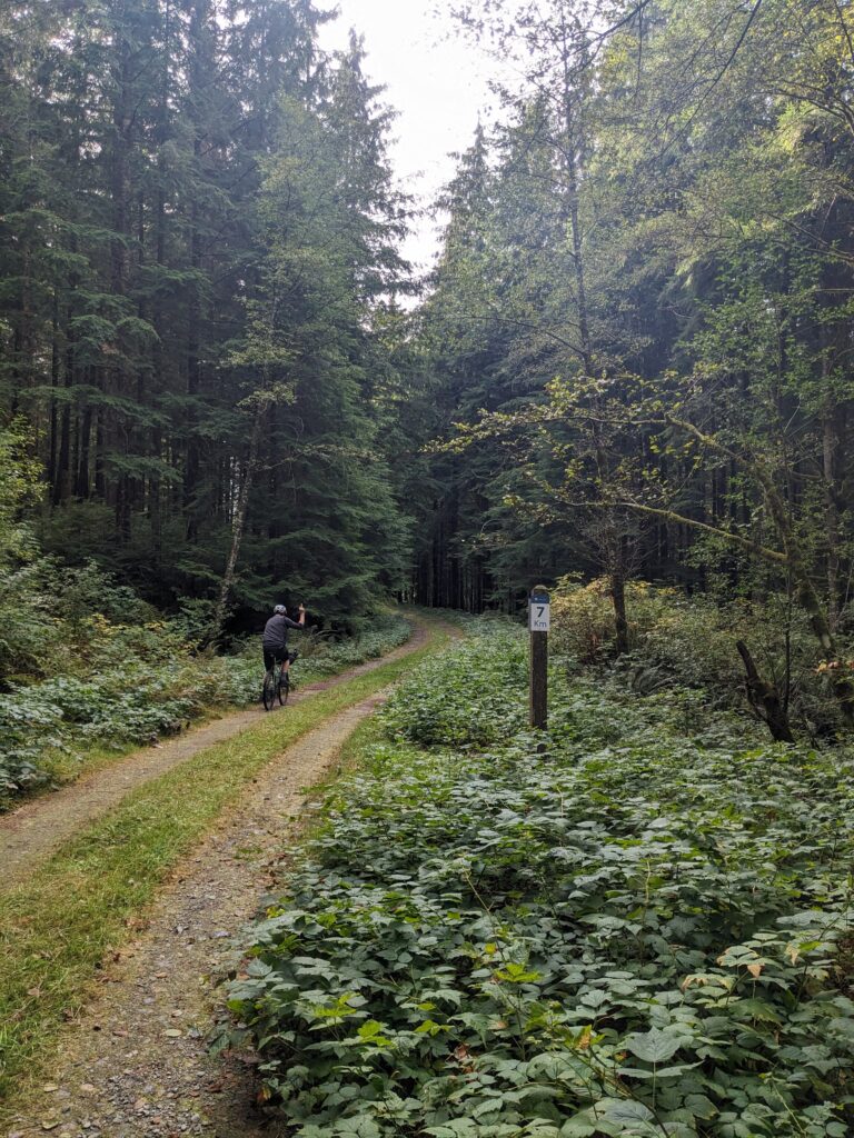
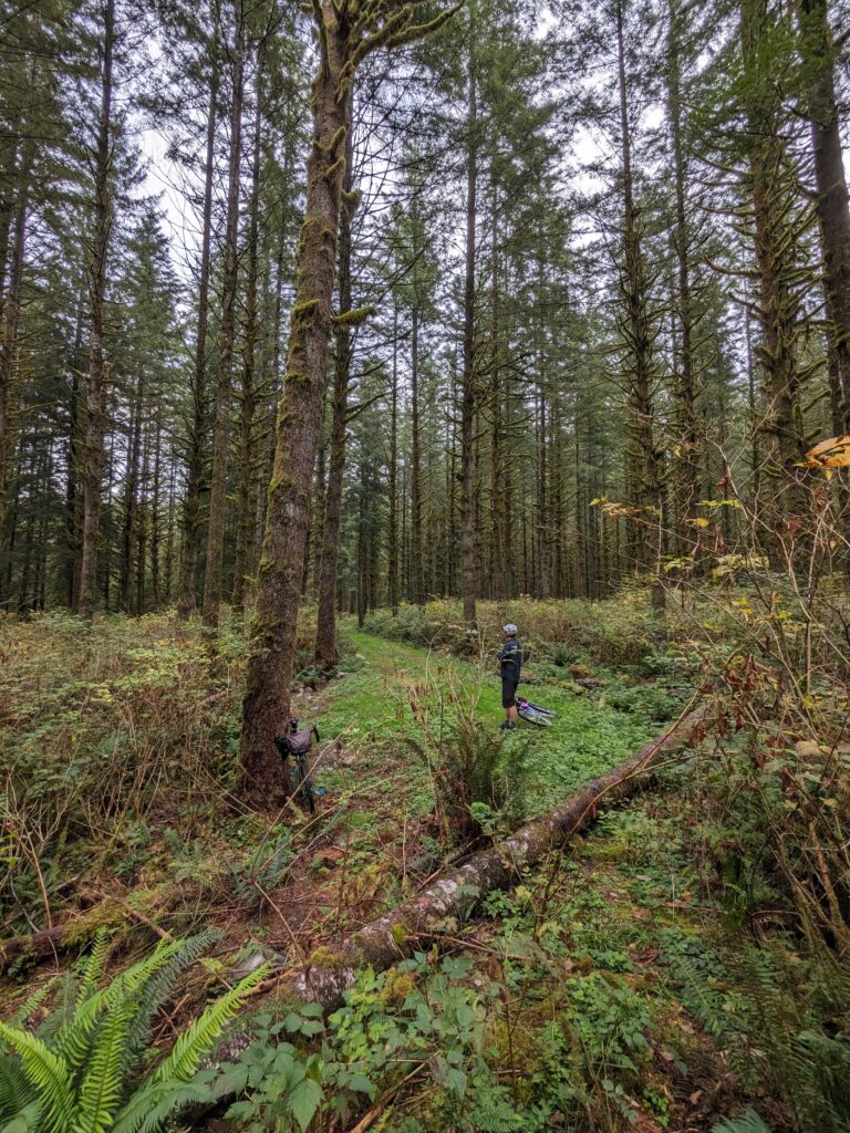
Suicide branch itself is only a little over 2km long, though it certainly feels longer. It rather abruptly ends with a small clearing, which began the next chapter of our little adventure for the day. We poked around looking for signs of a trail, but didn’t see much. We opted to carry our bikes in about 10 or 20 yards to stash them and in the process found signs of a low-traffic, but existent, trail. Turns out the trailhead was intentionally obscured by a pile of deadfall.
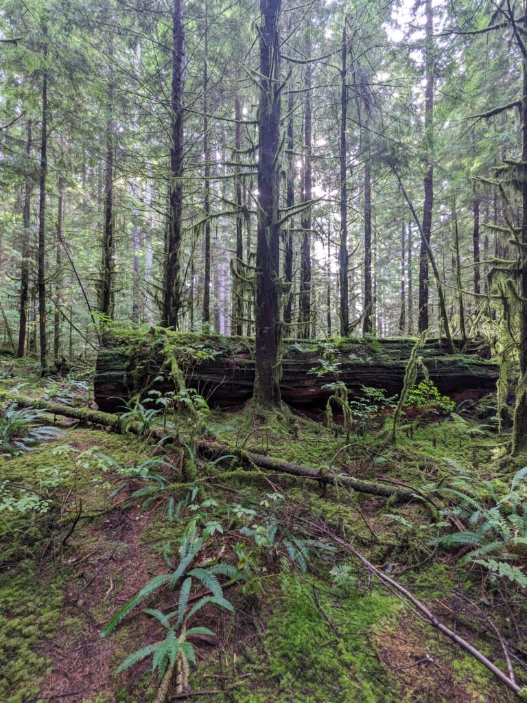
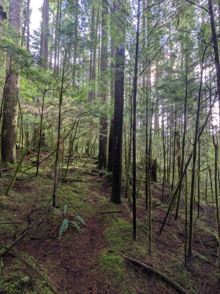
We started on along the “trail” – it was barely visible on the forest floor but was particularly well marked – we’d never seen so much flagging in fact. We hypothesized about its use by rescue teams, especially during winter, or perhaps it’s a research plot. We found a metal tag along the way with some coordinate information that led us to believe the latter was a strong probability.
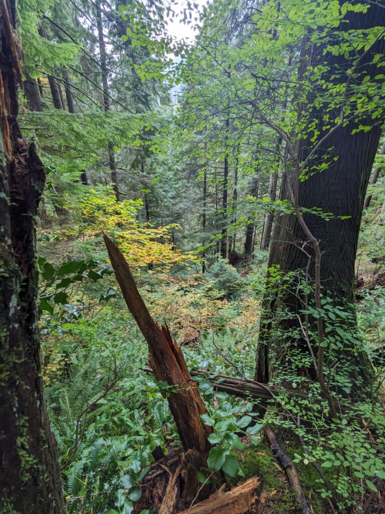
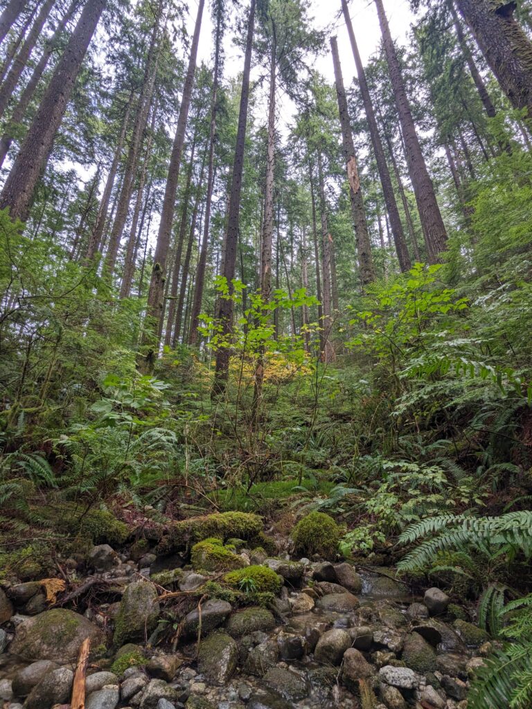
We had become so distracted by trying to understand the purpose of the trail, and enamoured by the beauty of the forest, that I failed to realize that my idea of a trail that one could at least walk their bike on was rather impossible. If you look at this region on a topographical map it doesn’t look so bad, but the maps gloss over gullies that are as treacherous as they are common.
Damn if the forest isn’t beautiful up here, though.
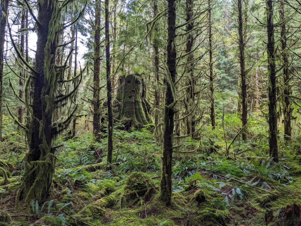
We pressed on for a while, but the actual distance we covered was laughably small. We covered about 200m in 40 minutes. Largely this was because we were examining and discussing every detail along the way, but that 200m was effort beyond the numbers.
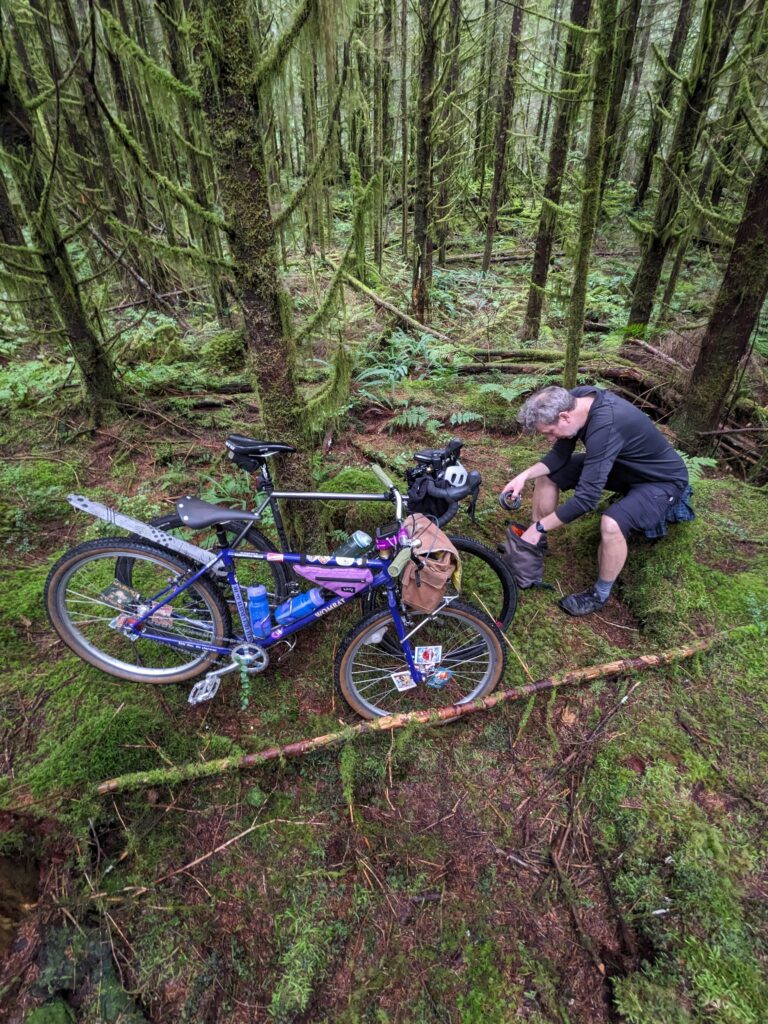
Back to the bikes, we started to work our way back out. Before this ride I had noted that there was a trail on Open Street Maps called Suicide Jimmy that traced all the way from the ski area, at 1000m elevation, down to Suicide Branch some 800m below. Knowing the terrain I was extremely curious about this unofficial and largely unknown trail. We kept an eye out for the trail exit as we made our way back.

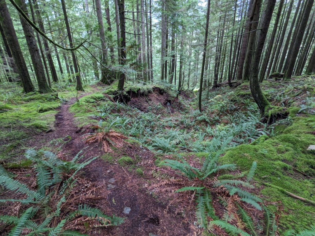
Paying careful attention to the map, we passed where it was supposed to be despite our best efforts to spot the trail – it was well obscured, yet once we got into the woods a little bit the trail was very apparent. I have to imagine it gets a lot more challenging further up where the terrain steepens significantly, but this section was beautifully loamy and rather chill.
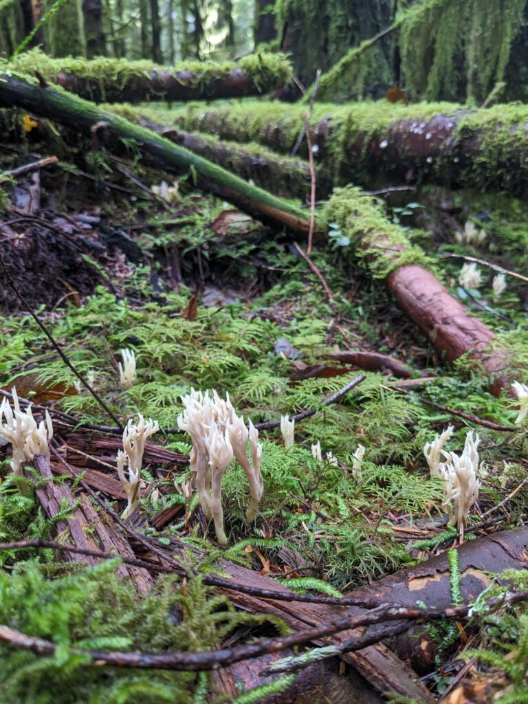
Satisfied with our findings, we made our way back out to civilization. Not without the occasional stop to check out any potential trace of a side trail, which was consistently fruitless in terms of trail but fruitful in terms of cool mushrooms.
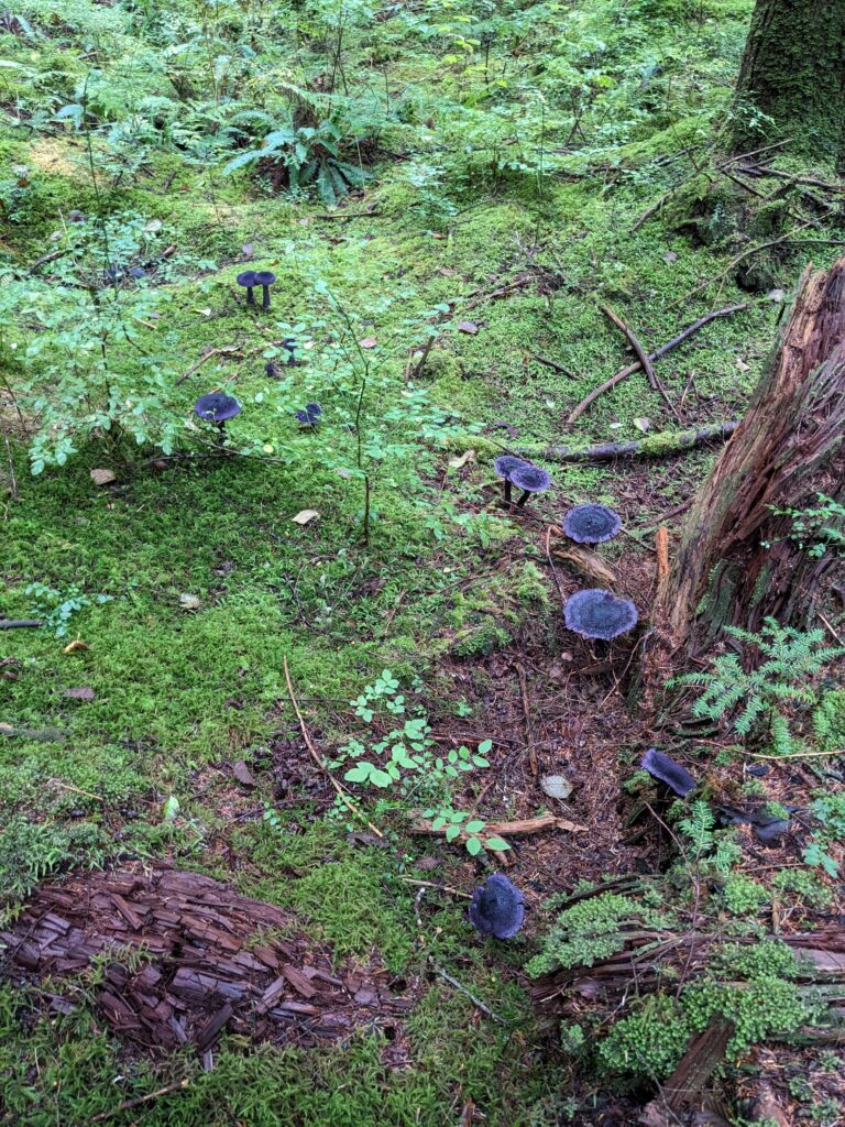
October is arguably the best month to be in the forests of the north shore. November is really good, too. There’s never a bad month out here, though.
Leave a Reply