The Burnabop XL route came about after the stoke of putting together the original Burnabop route. Burnabop is a 42km “666m” (actually more like 800m) elevation route around Burnaby’s lesser known trails and cheeky pathways that I had shared with Max of Love Machine Cycling to get the word out to like-minded adventurers. The standard Burnabop is pretty challenging as it is, but I wanted to put an XL version out that strung together all the good stuff from the original with all my other favourite spots in and near Burnaby. The result is about 73km and 1125m elevation; a proper challenge that I hope can build some notoriety. Plan to spend anywhere from 5 to 7 hours on course; it’s not a quick 73k.
The course can be broken down into two distinct loops; north and south. Both are intended to be ridden clockwise, though can be ridden either direction. If you’re pressed for time you can certainly ride either loop on its own, but it’s ideally enjoyed as presented. Please yield to those you encounter on the trails and be friendly; these are their hidden gem trails as well.
See here for detailed ride notes by km marker
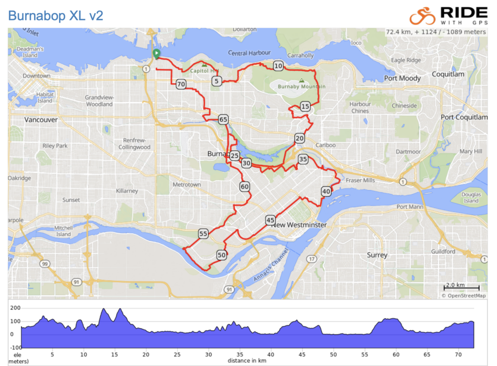
The route GPX can be downloaded here
The route starts out by tracing along the northern edge of Burnaby via Trans Canada Trail and then to Velodrome and Barnet trails on the north face of Burnaby Mountain. These shaded slopes offer views to the north, punchy climbs, but smooth gravel surfaces.
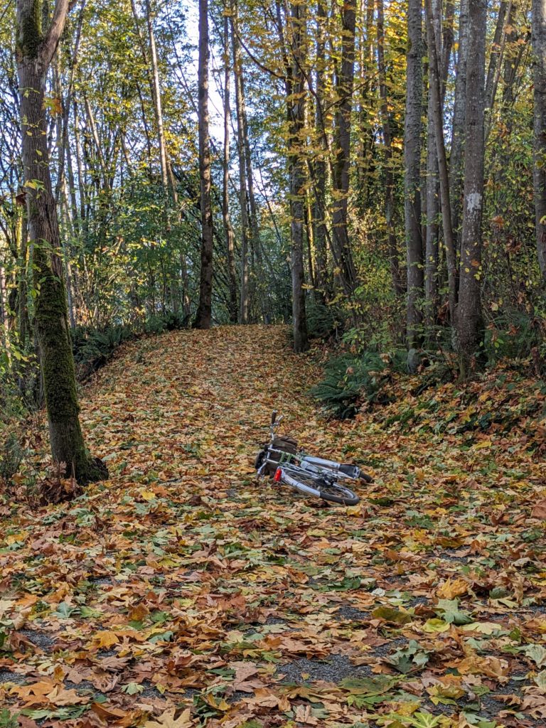
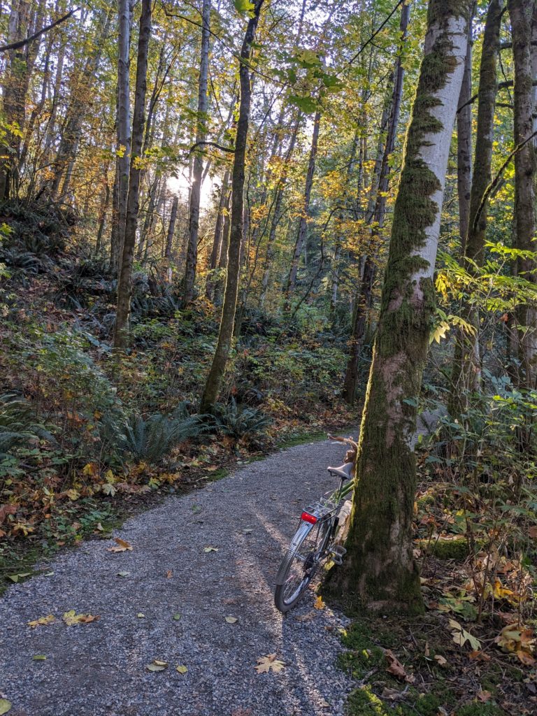
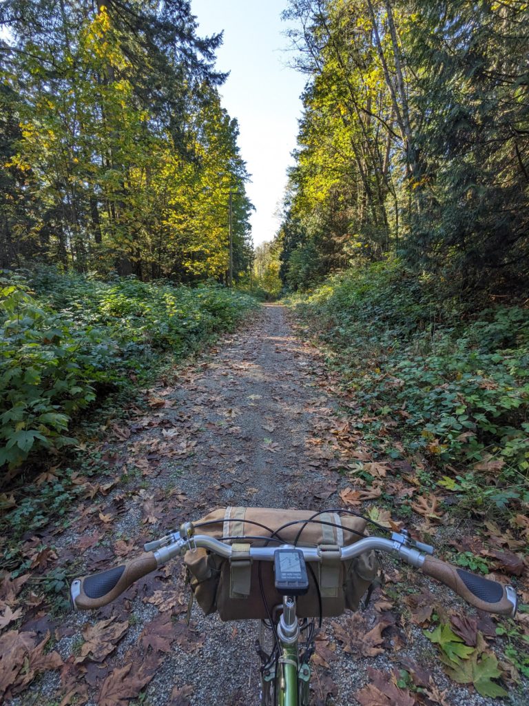
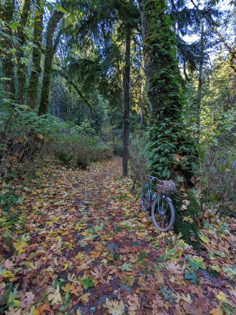
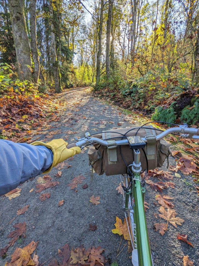
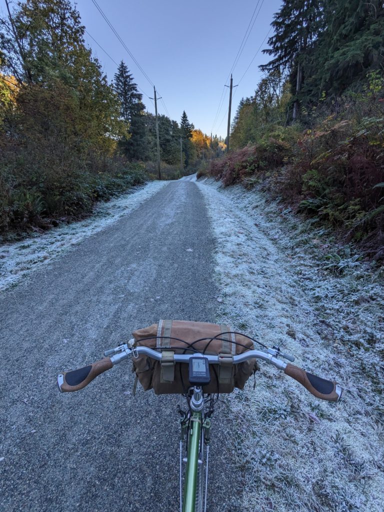
The most brutal climb of the ride comes early, around the 12km mark, and is not one I would even consider trying to ride – but you do you. The trail then descends along the power lines before working its way upwards now along the south face of Burnaby Mountain. The trail then turns to switchbacks, a popular MTB climb trail to access the local network.
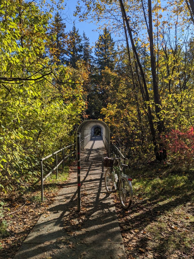
Once the service road between lower and upper Sidewinder is reached, the route cheekily crosses the main road and down some trails where local kids have built some sweet jumps. The route noodles down to Stoney Creek trail then onto the popular gravel route around the south side of Burnaby Lake.
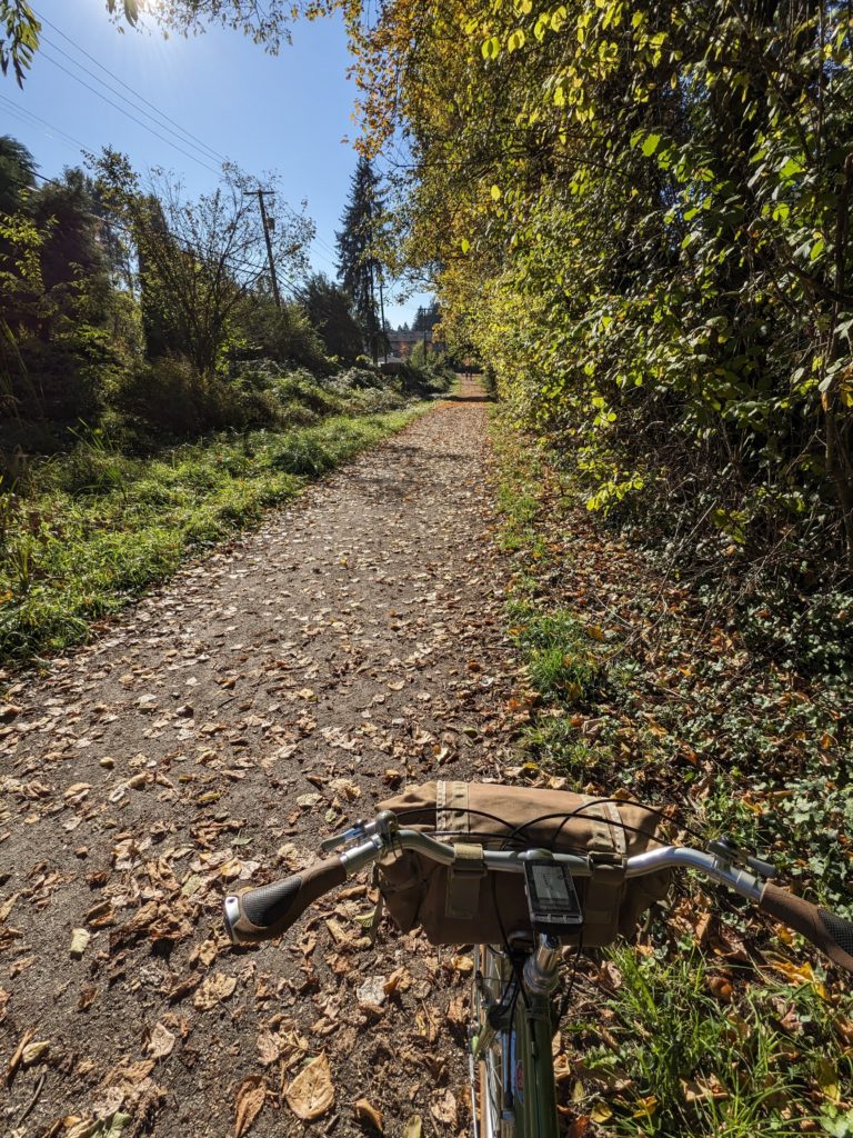
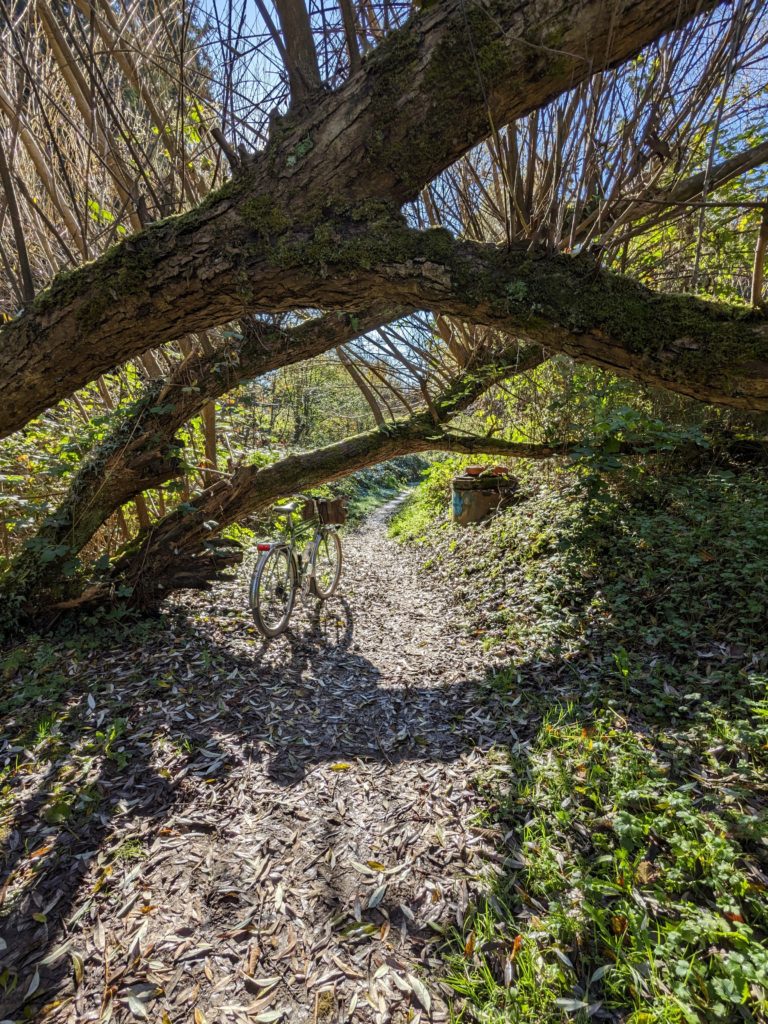
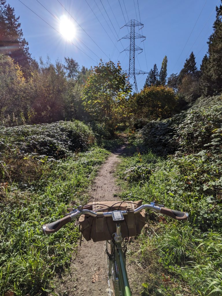
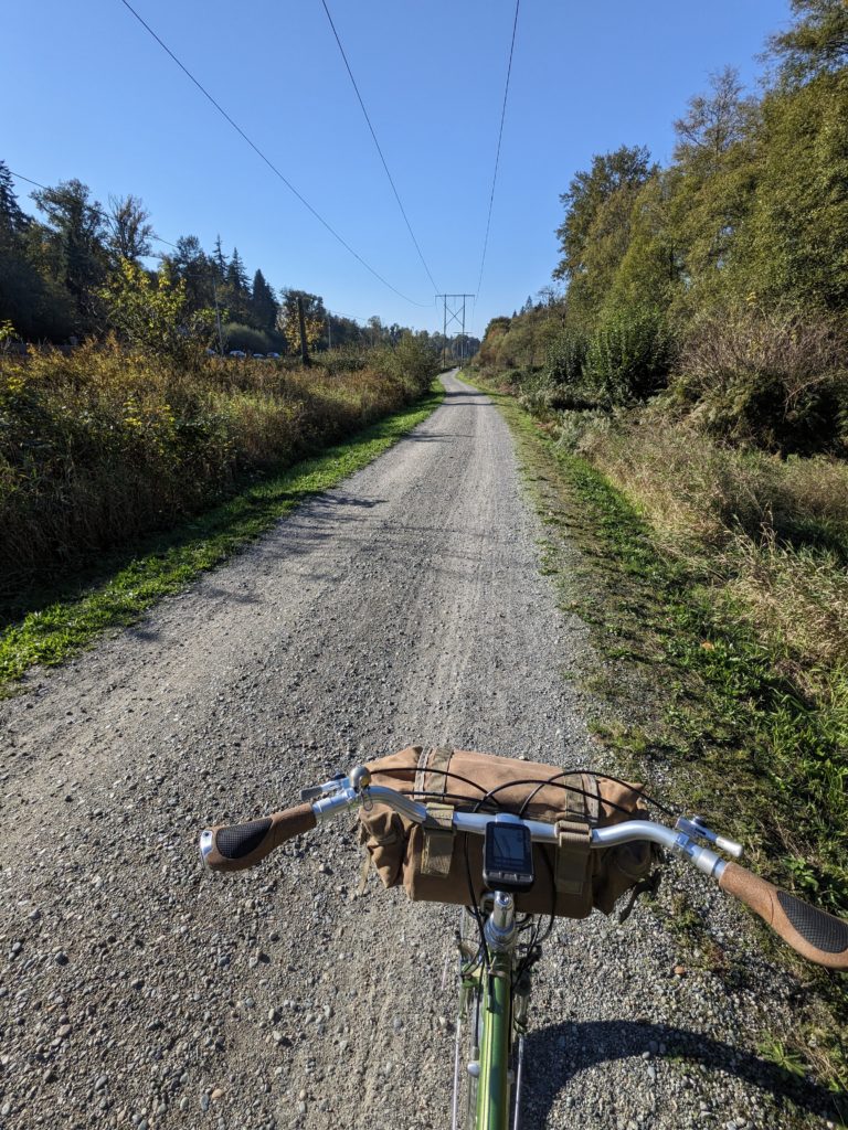
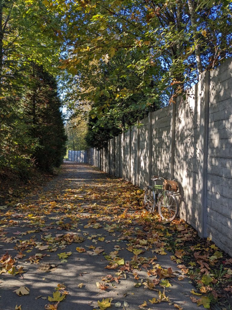
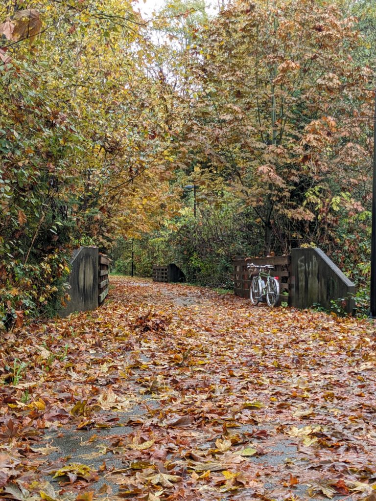
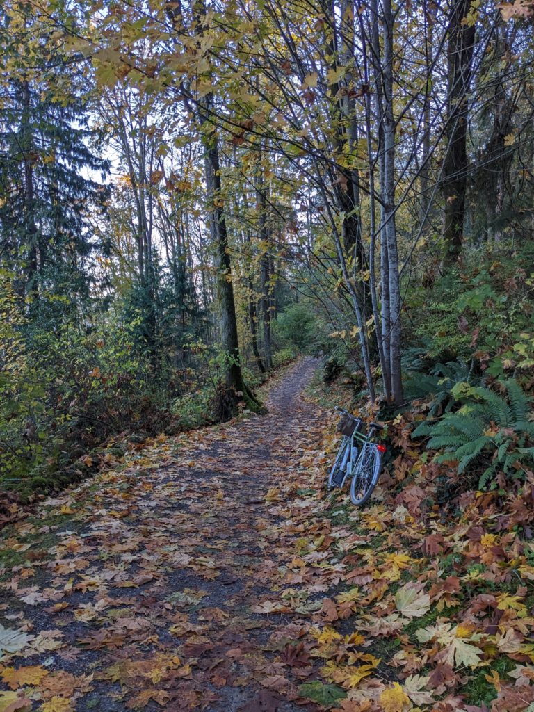
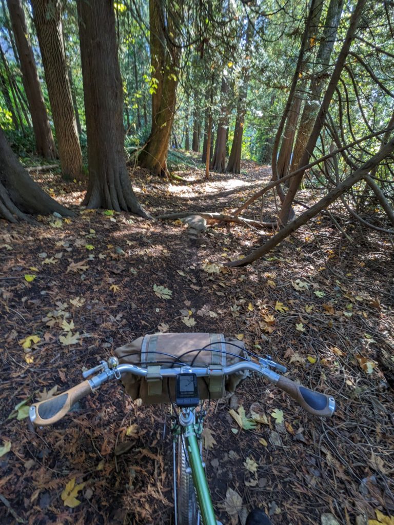
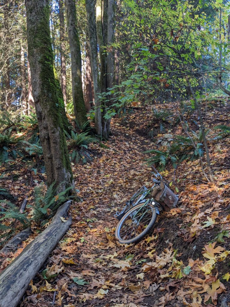
The route then crosses to the south side of Hwy 1, towards one of the most beautiful stretches of the course. Starting with a lovely paved path that follows near the highway, then a short but steep climb up to power lines, followed by a gravel descent into Robert Burnaby park. Exiting Robert Burnaby by the popular disc golf course and down the dead-end Elwell St is where the absolute gem of a natural area, George Derby, begins. The trail is narrow and rooty in areas, but totally manageable on a gravel bike. The climbs are tough, but so beautiful that walking and taking in the views is recommended anyway. Watch out for a staircase on the descent between the two ravine climbs.
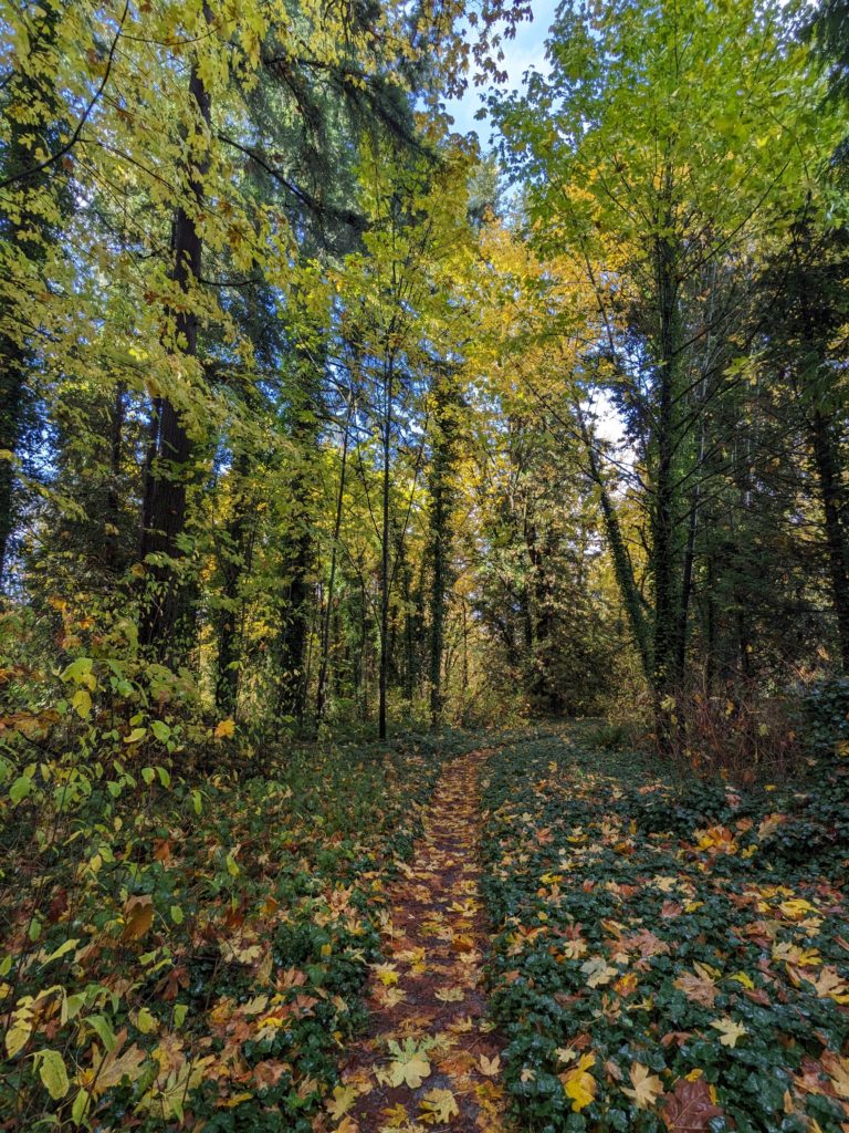
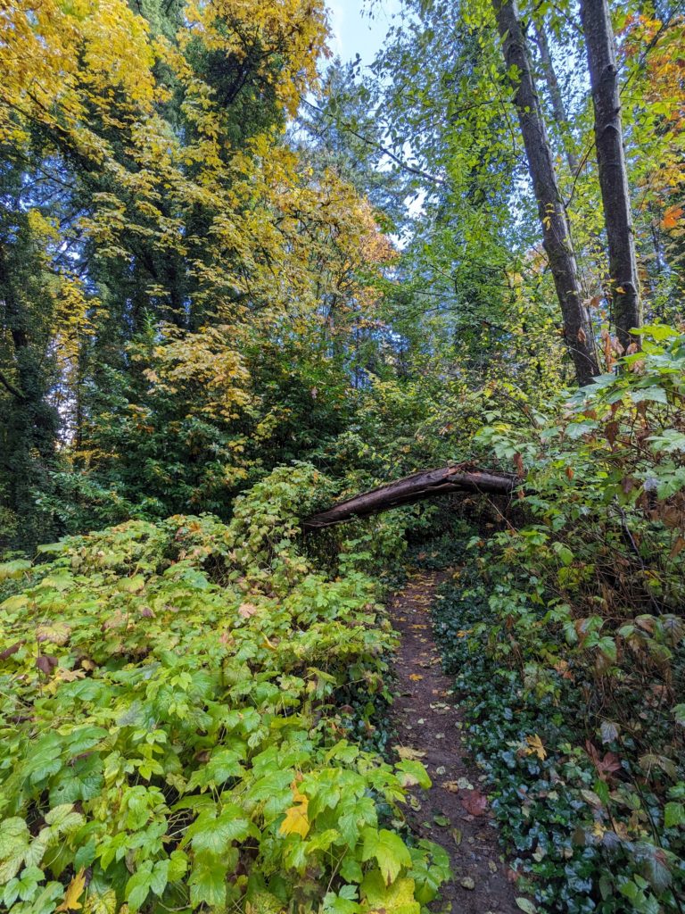
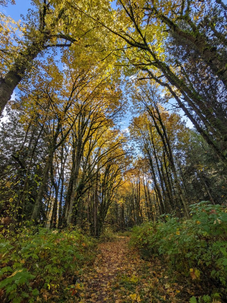
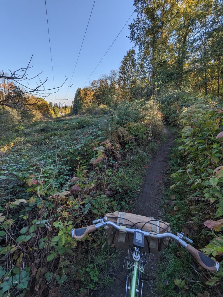
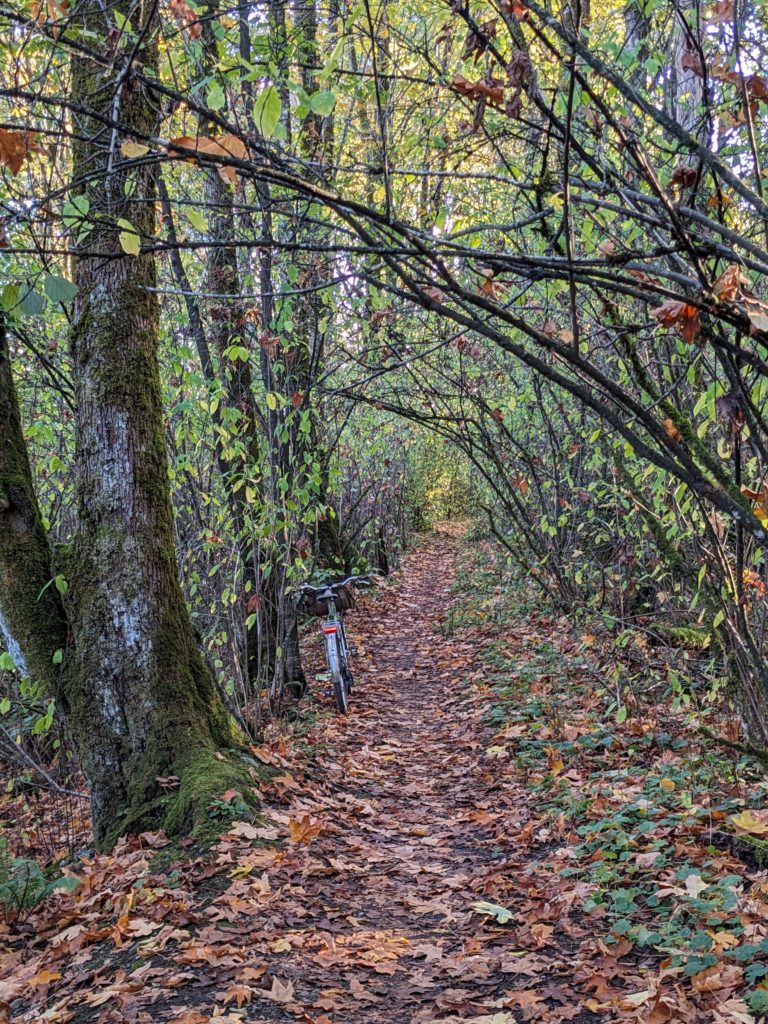

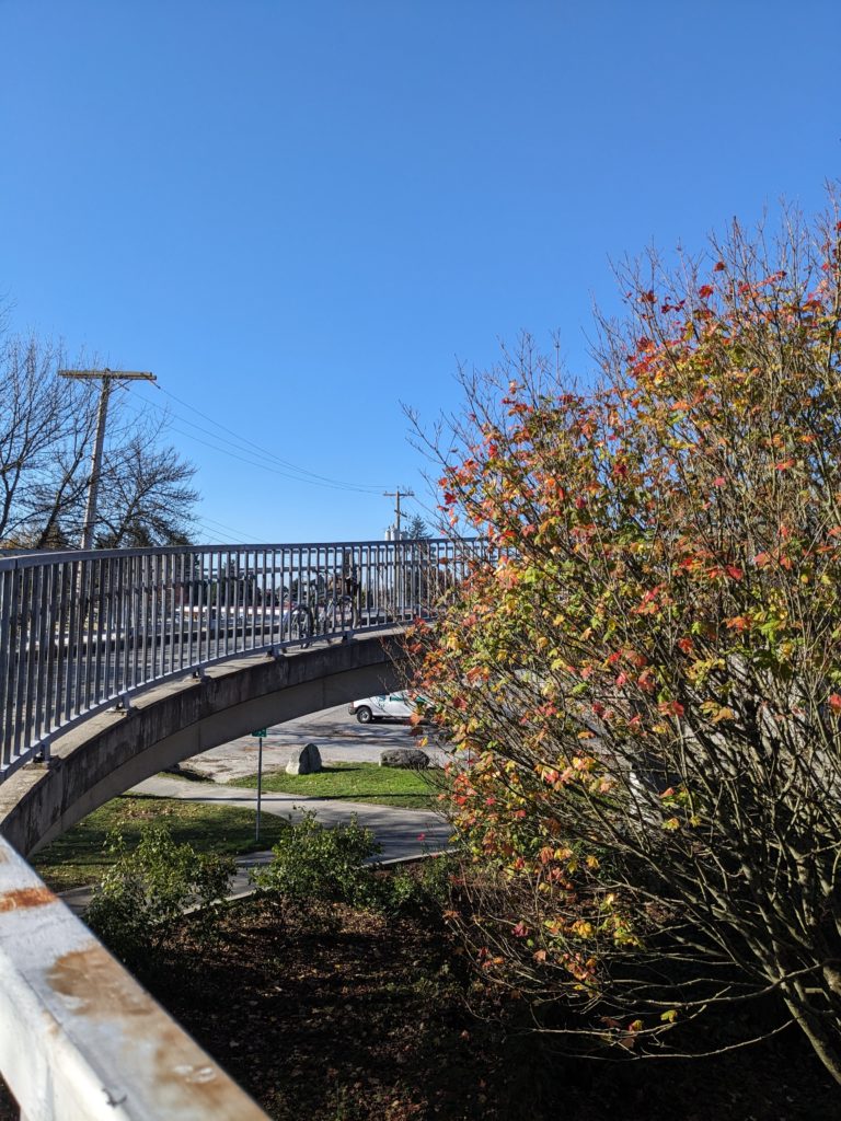
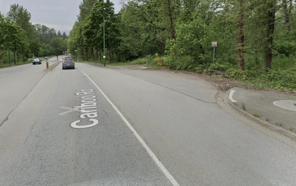
Exiting the urban wilderness of George Derby, a short bomb down Cariboo Rd takes us to what is perhaps the best 1.3km of nearly secret single track along the old Interurban rail grade, linking up to North Rd. Take note, this is also probably the easiest turn to miss of the whole route! Coming down Cariboo, when you see a small pull-out area (shown below), hop onto the sidewalk and keep an eye out – the trail is about 10 metres further down and cuts back at an angle that makes it hard to spot.
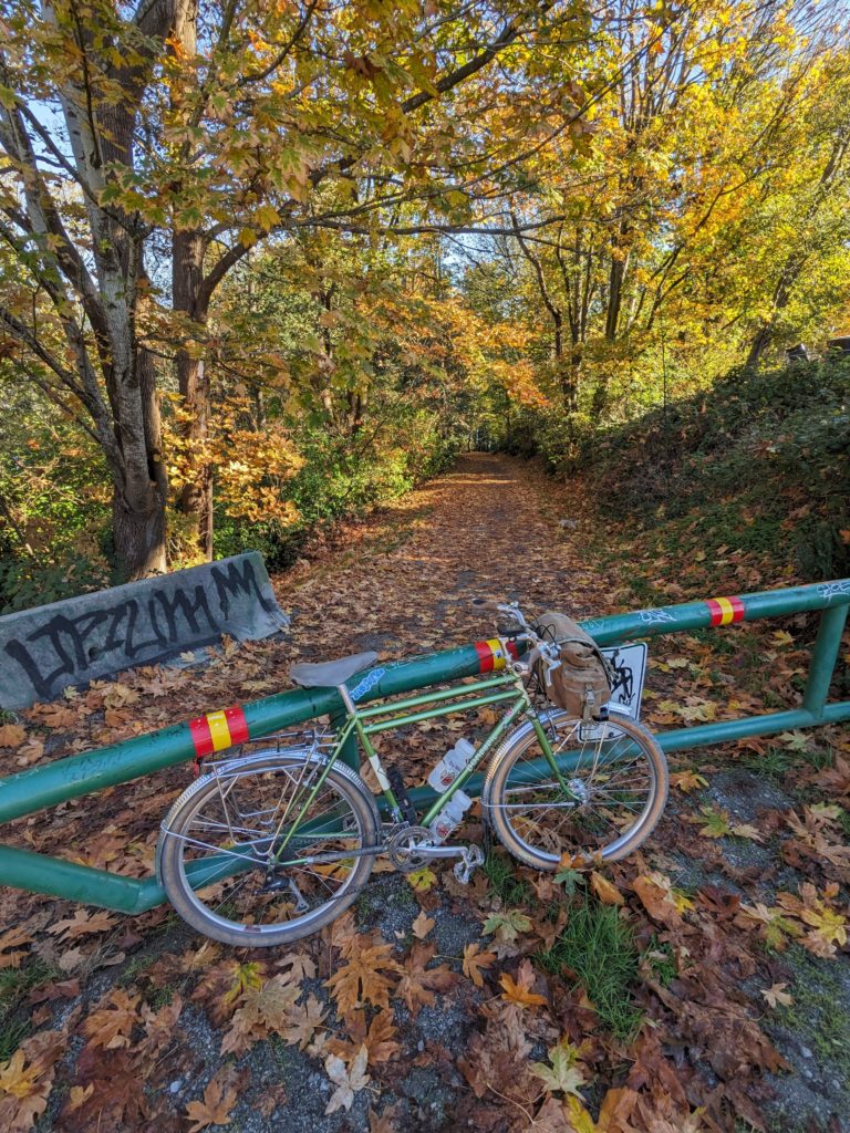
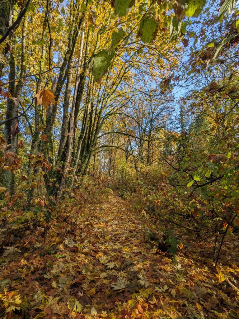
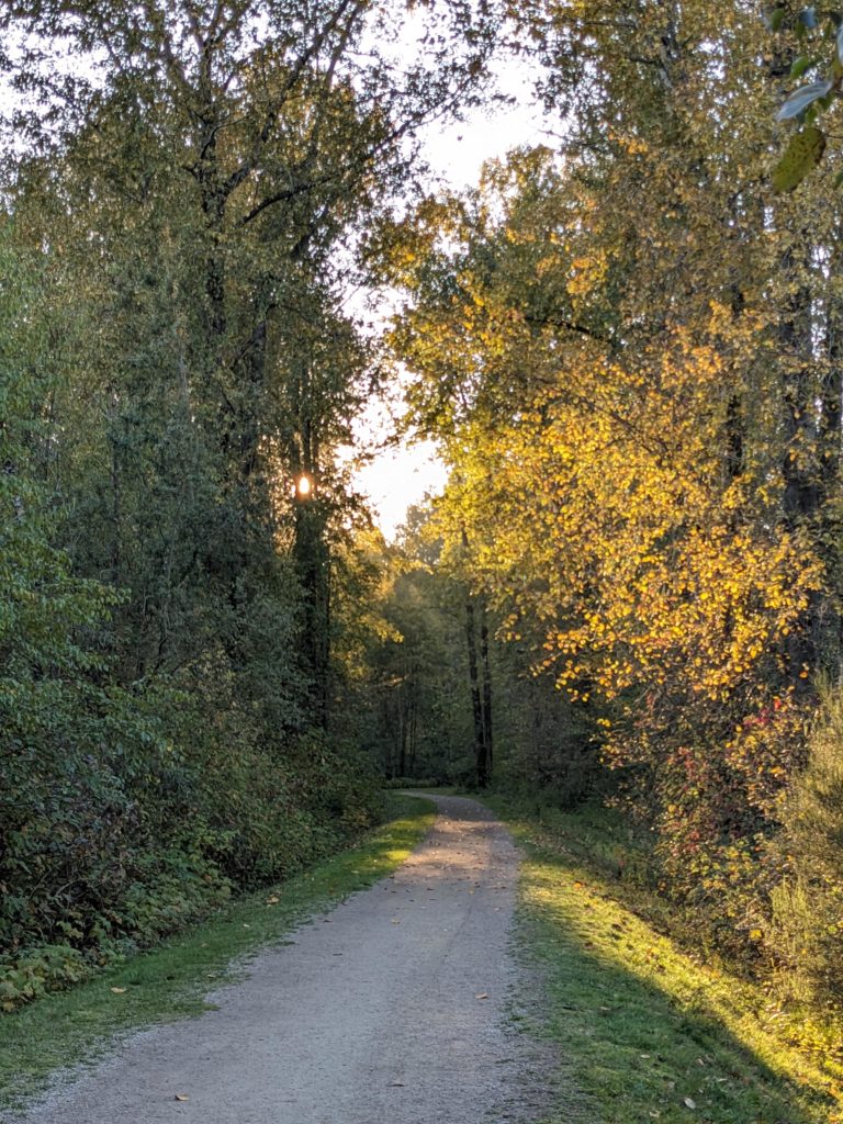
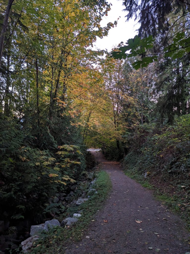
This stretch is probably my favourite of the whole course; it’s rail grade so nearly flat, yet narrow and rooty enough to keep you occupied. And the foliage! At some point the trail passes under powerlines and it’s easy to forget that you’re in a suburban area. I mean, just look at this! Of course, autumn cannot be beat for beauty in these largely deciduous groves.
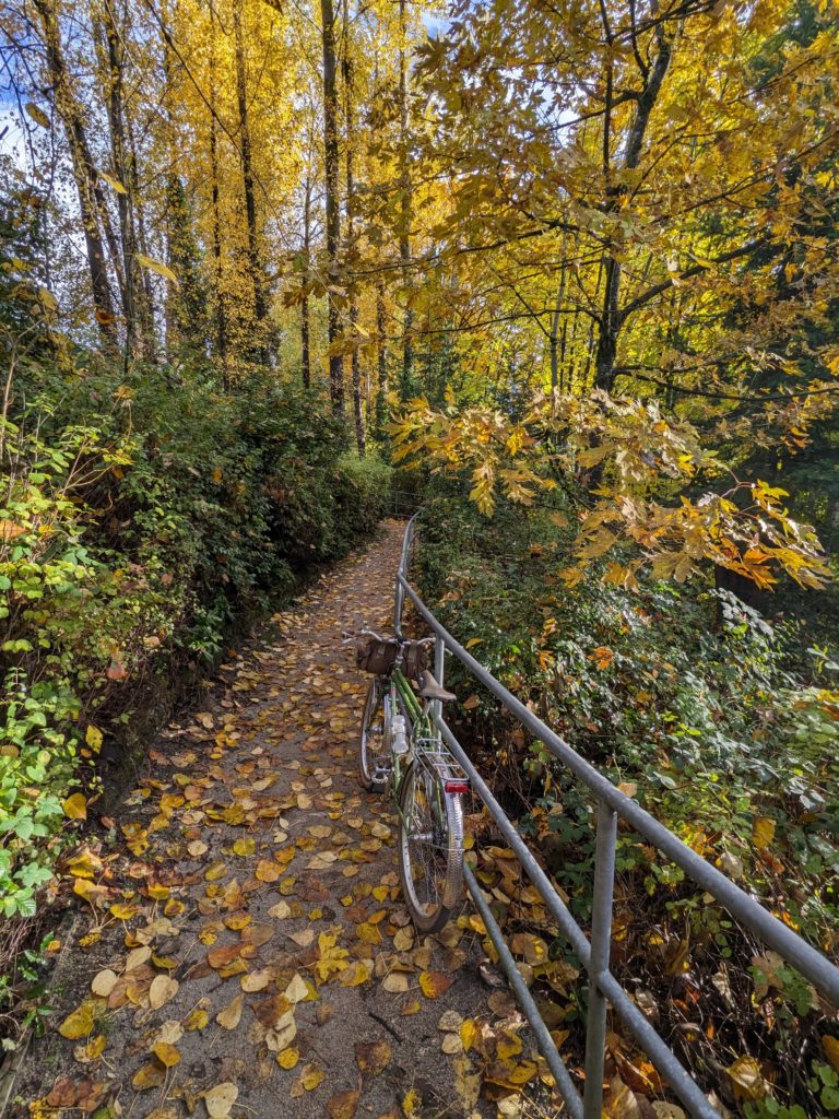
The route then works its way to Braid St via a popular trail connection through Hume Park, then follows the bike-friendly roads to the next ravine: Glenbrook! This climbs up to the 7th Ave bike route that traverses upper New West – not a particularly noteworthy stretch, but a quiet and fairly pleasant bike route that is less popular than most.
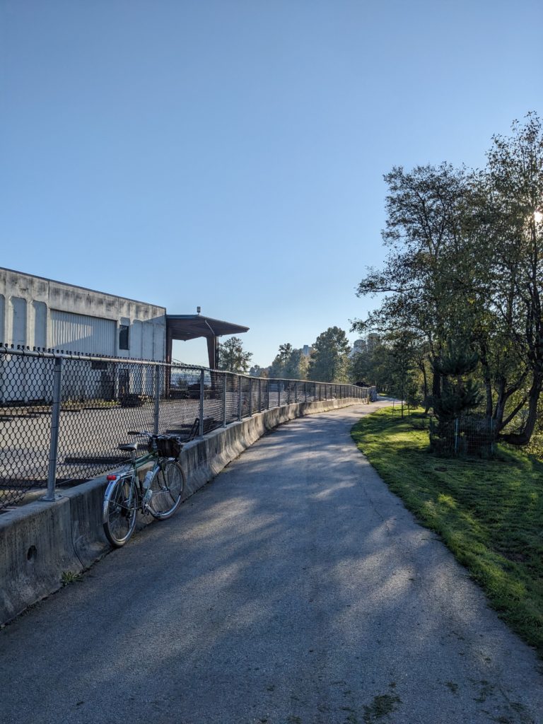
This bike route links up to BC Parkway, but the route then drops down a steep hillside into Fraser Foreshore area of south Burnaby. This feels like another world in many ways, going from steep ravines to flood plane.
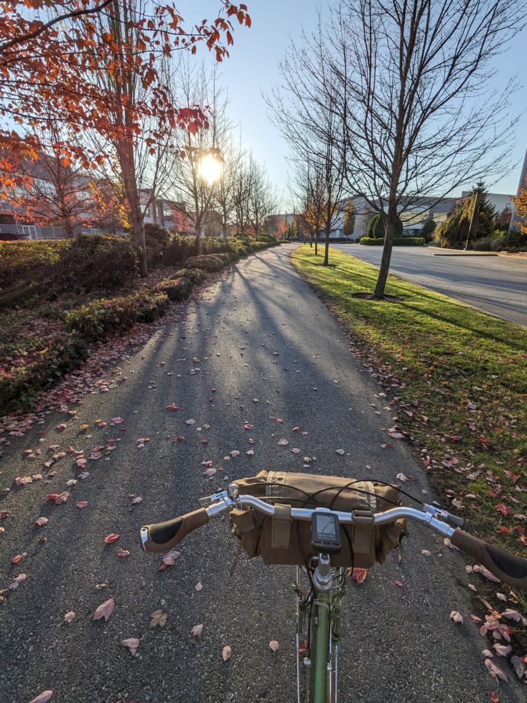
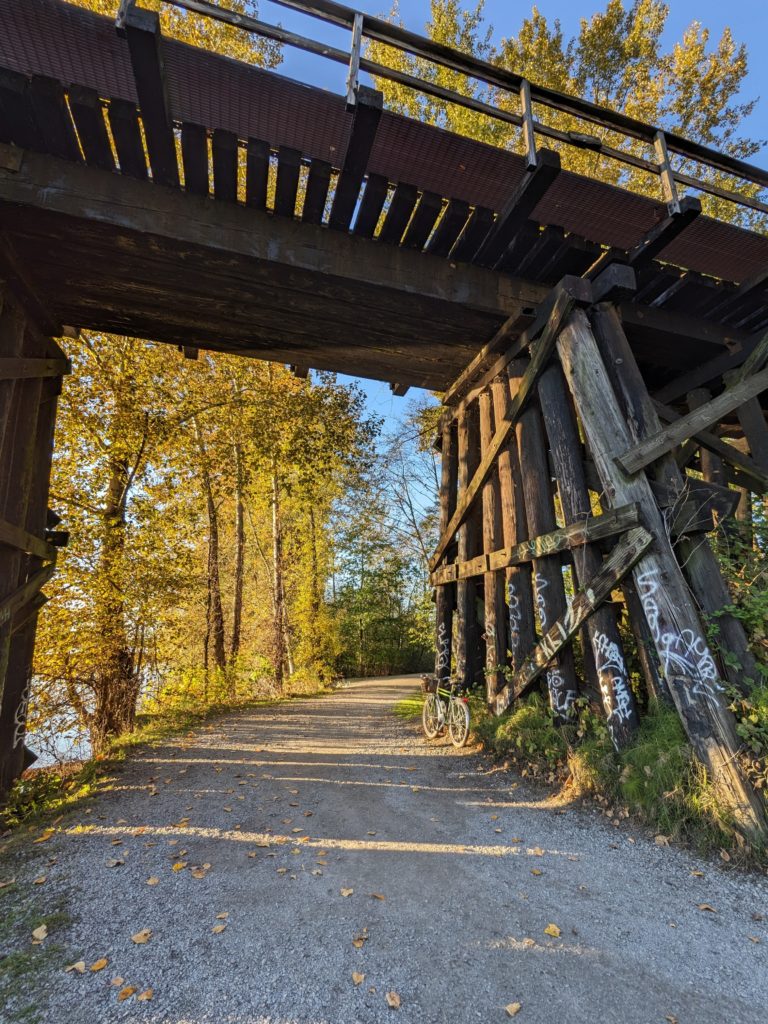
From the shores of the Fraser, the route then points inland by following Byrne Creek, over the train tracks (kinda sketchy!) and into a steep ravine that starts with a stair climb.
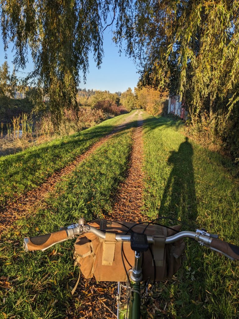

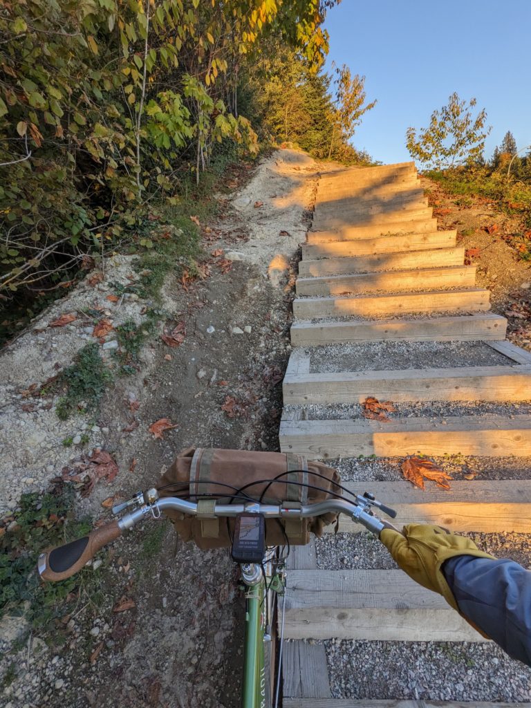
The more popular Byrne Creek trail is on the west side of the creek, while this east side trail is narrower, more technical, and at the top of a very steep embankment – resulting in some fairly exposed feeling sections. Towards the north end it opens up into a mysterious woodland courtyard with stonework walls and mature trees. Spooky at night!
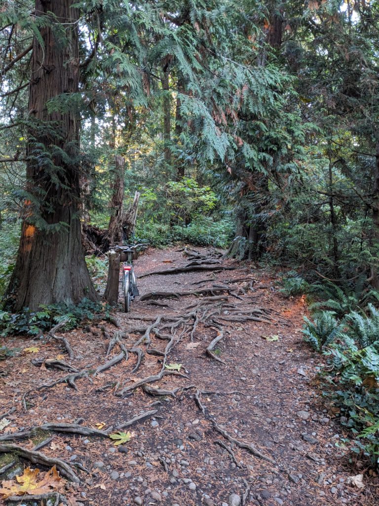
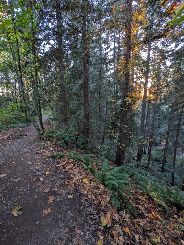
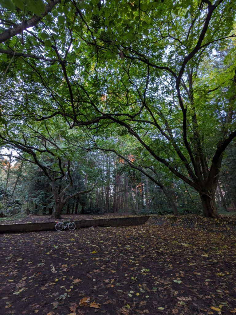
The conclusion of the south loop involves following mixed-use paths towards Deer Lake, with a one-block detour to a ravine trail nestled in Buckingham Park. Notably the route passes through Edmonds Park, home of perhaps the best waterpark in the city as well as a good washroom stop.
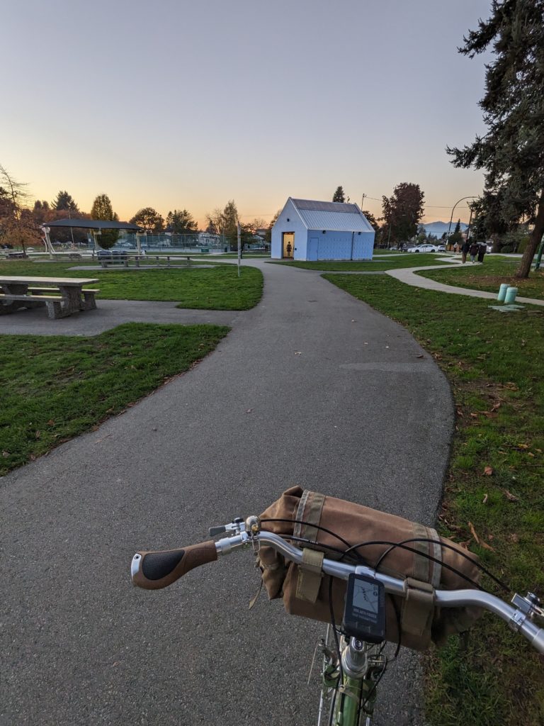
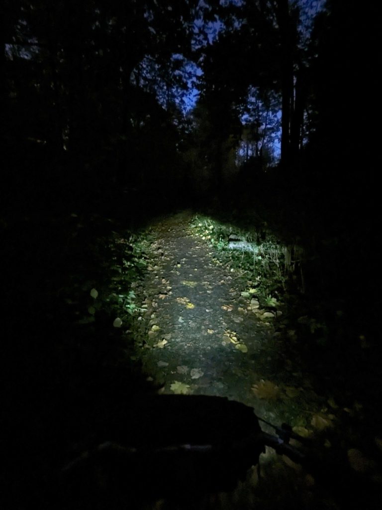
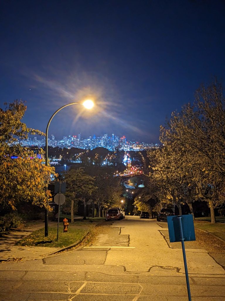
The last blocks of the route are northbound at the north end of Boundary Rd, with the assumption that it’s probably either sunset or dark at this point in your ride – the western views of the city (and sunset, perhaps) from these blocks are phenomenal and hopefully a poignant end to a memorable ride.
Leave a Reply