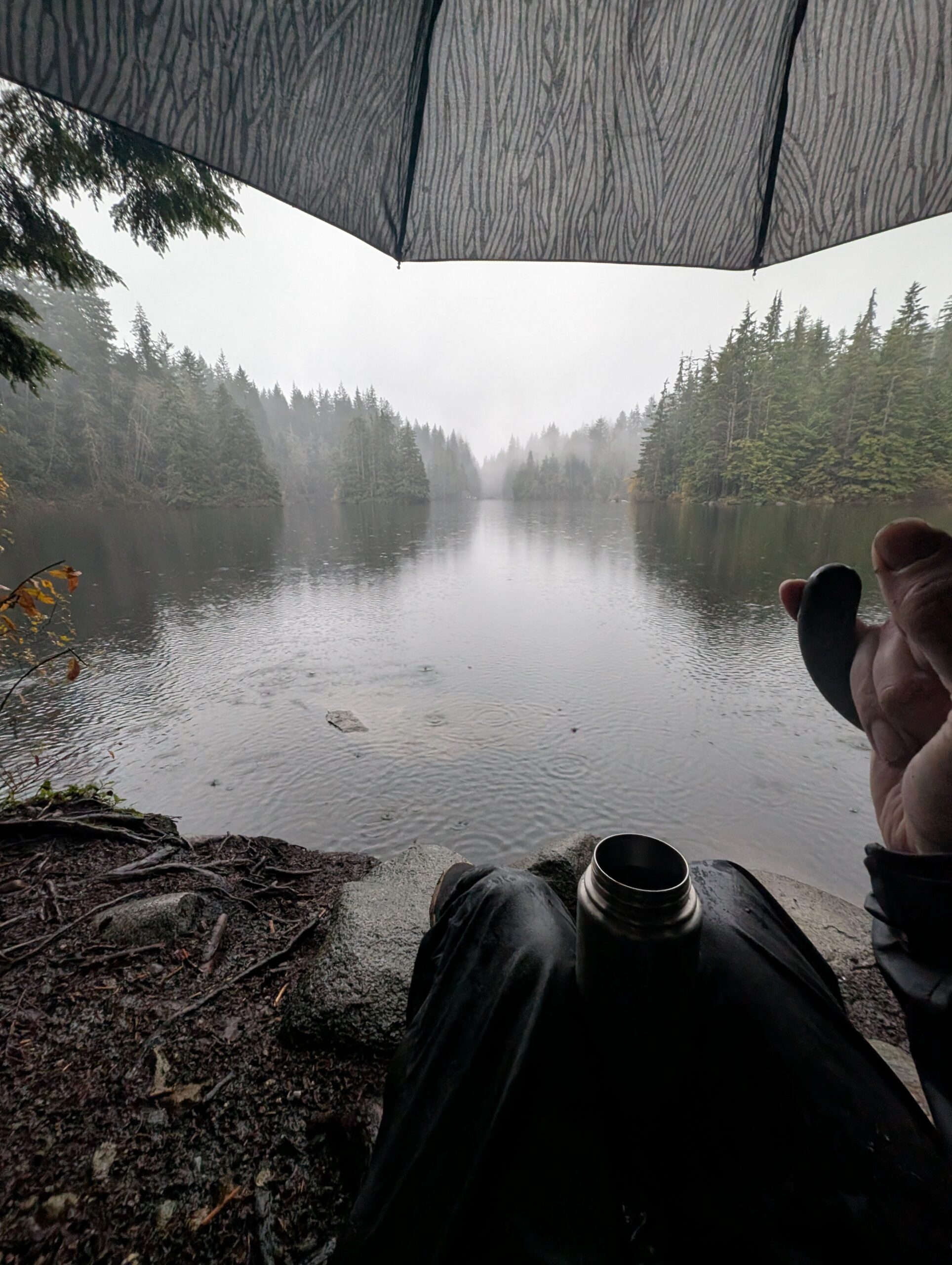
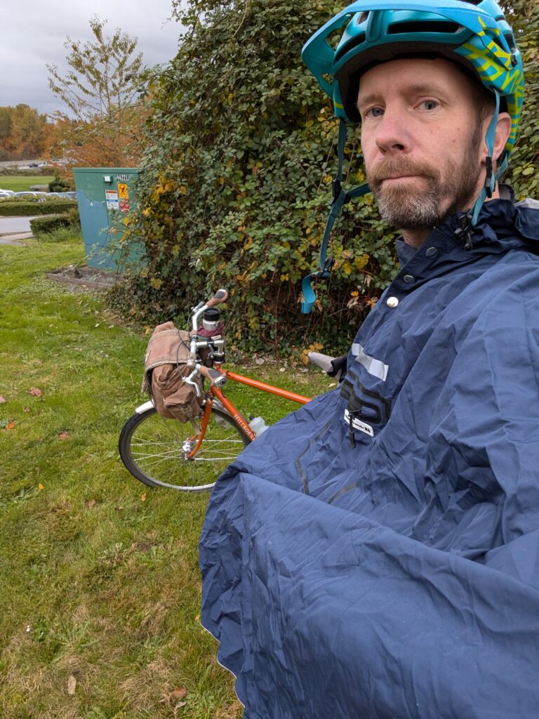
Another Saturday afternoon outing similar to a few recent ones, looping around Burnaby Mountain. I was expecting some rain today but the forecast cleared up and I completed the ride dry. Temps were cool, about 6C.
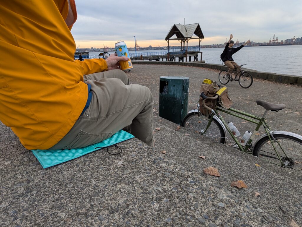
First up, I rode from home to Dageraad Brewing (I know, this is becoming a theme…) to try their holiday seasonal releases. A Belgian blonde aged on cherries, a pear and spice Belgian strong, an Oude Bruin, and a barrel aged Belgian strong. Don’t worry, only a taster glass of each!
My route to Dageraad is somewhat random in the sense that I decide turn-by-turn on the fly, and no two rides are exactly alike, but the broad strokes are pretty well dialled at this point and it bears no resemblance to the bike routes to Dageraad. It’s a noodle though quiet neighbourhood streets, through parks, and with the odd little hidden trail connector. It’s been a process of trial and error, but I really like how it came together.

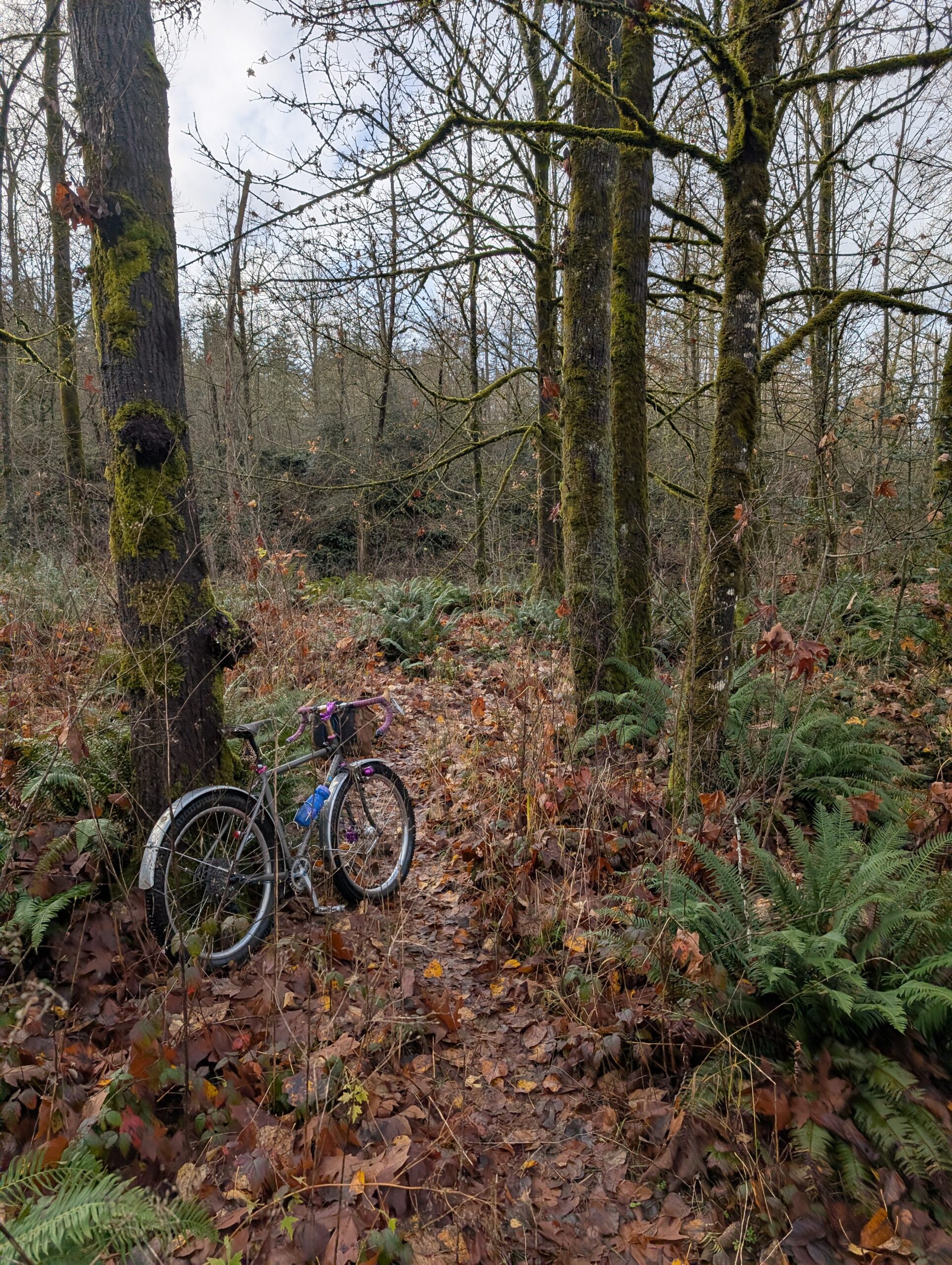
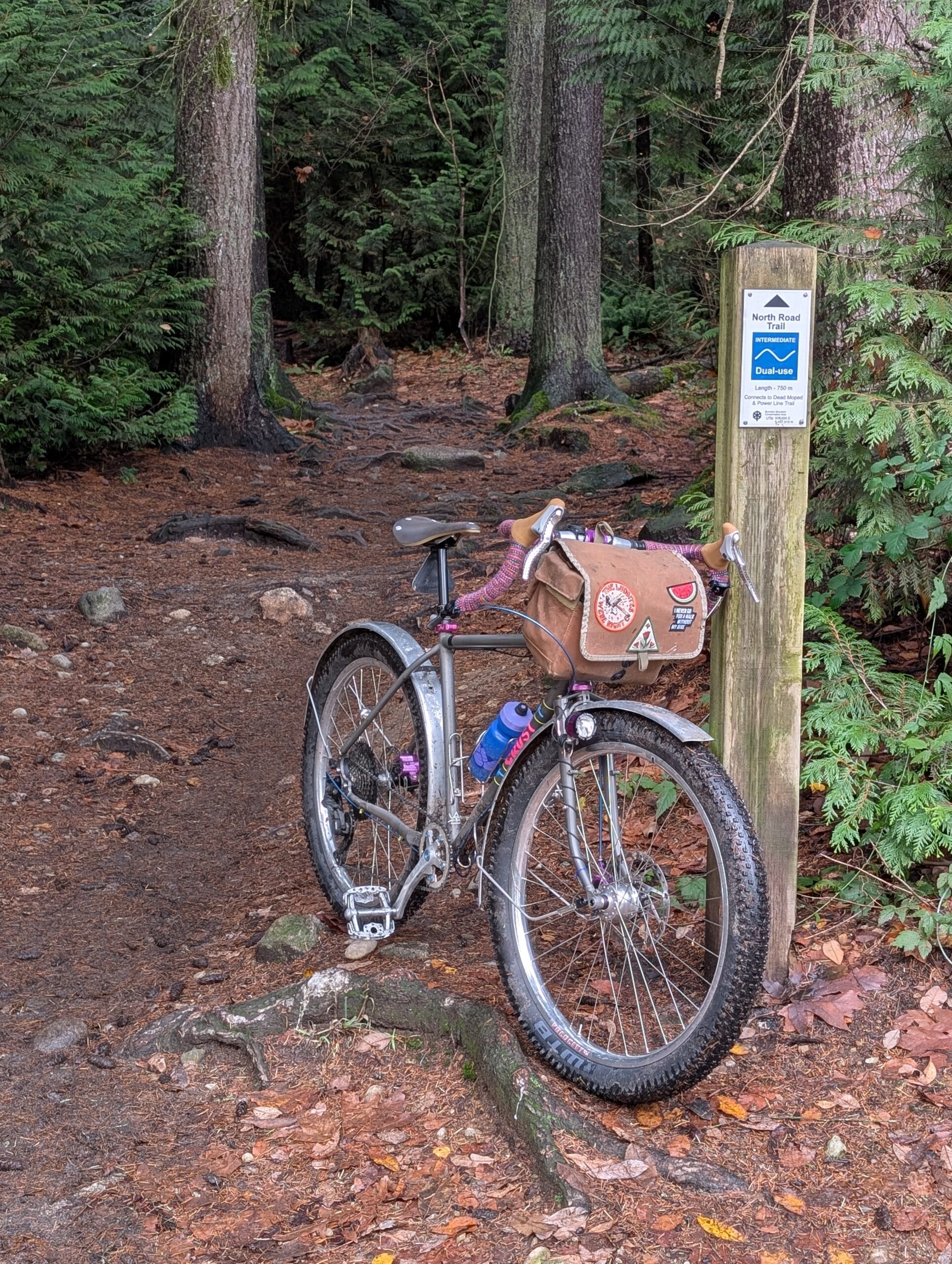
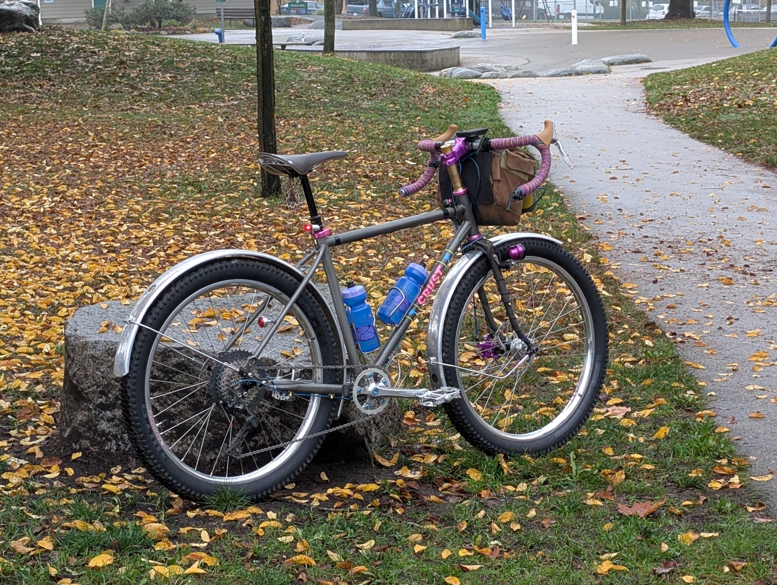
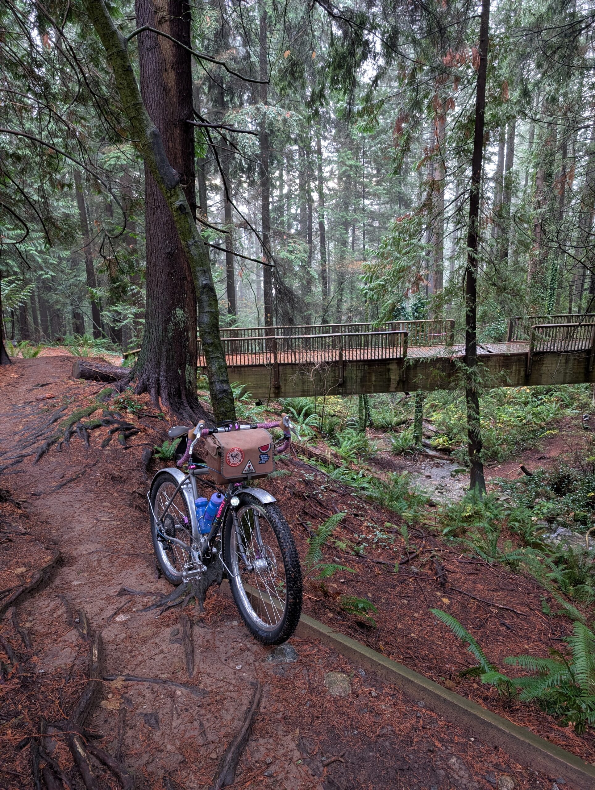
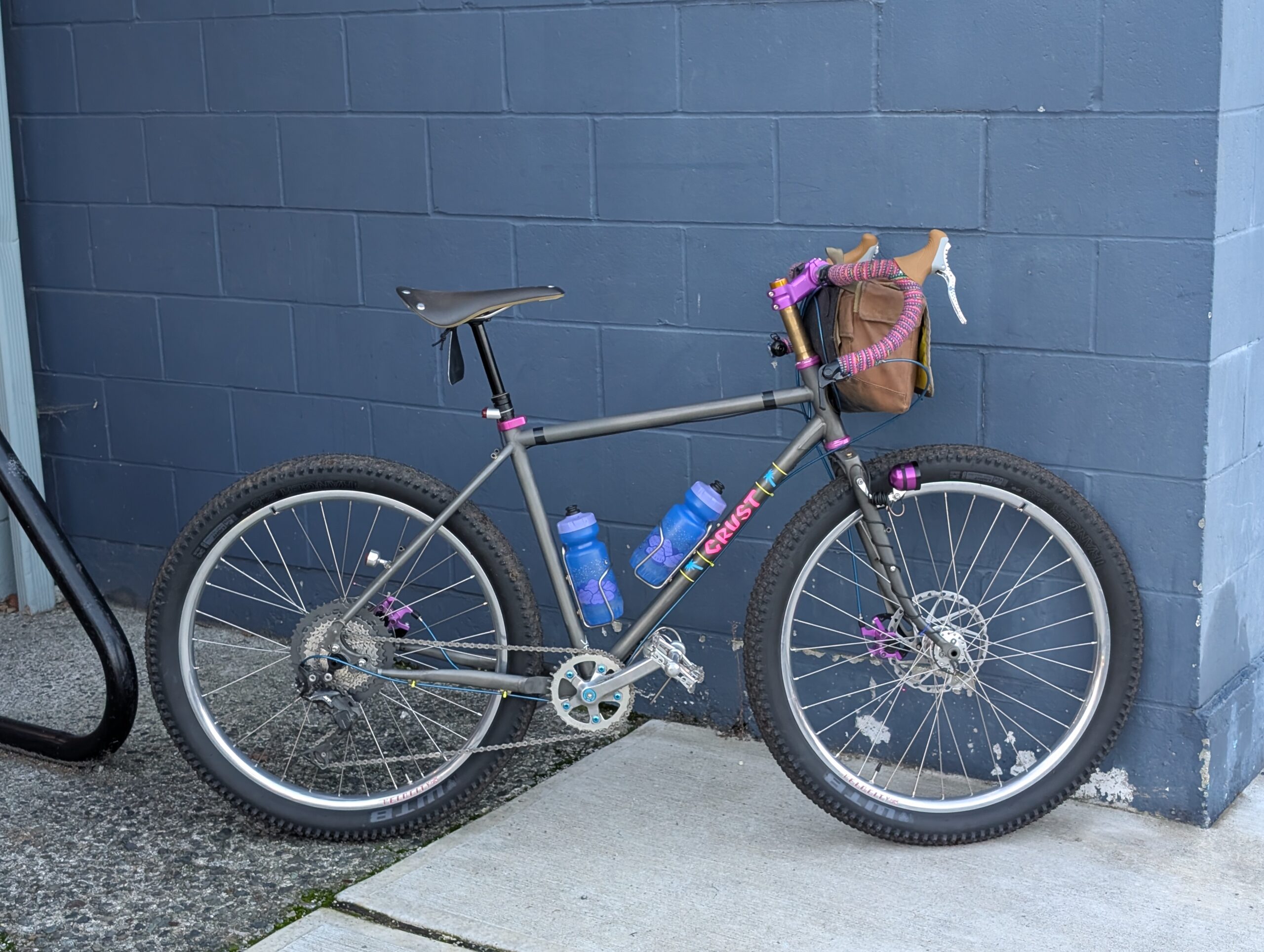
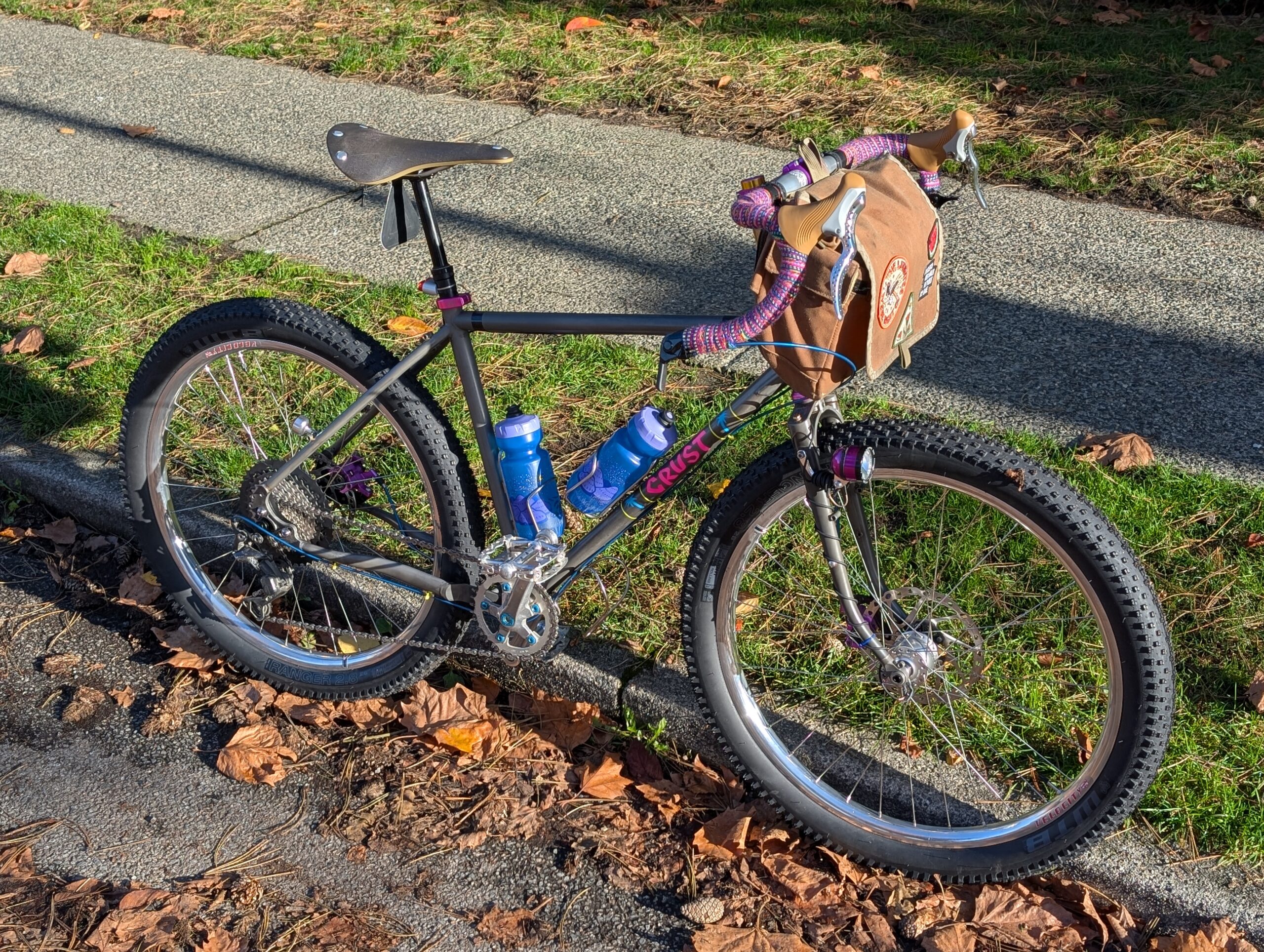
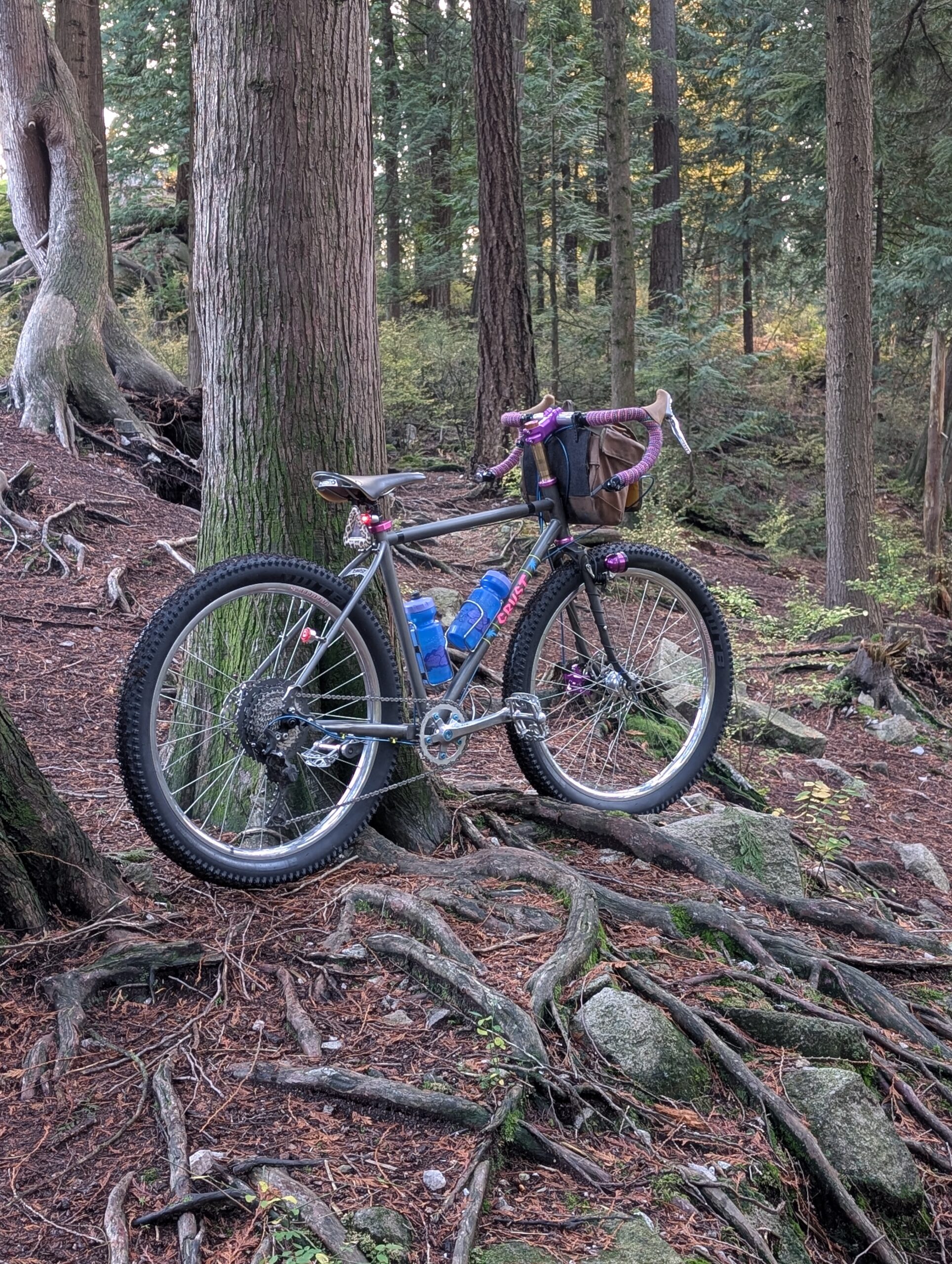
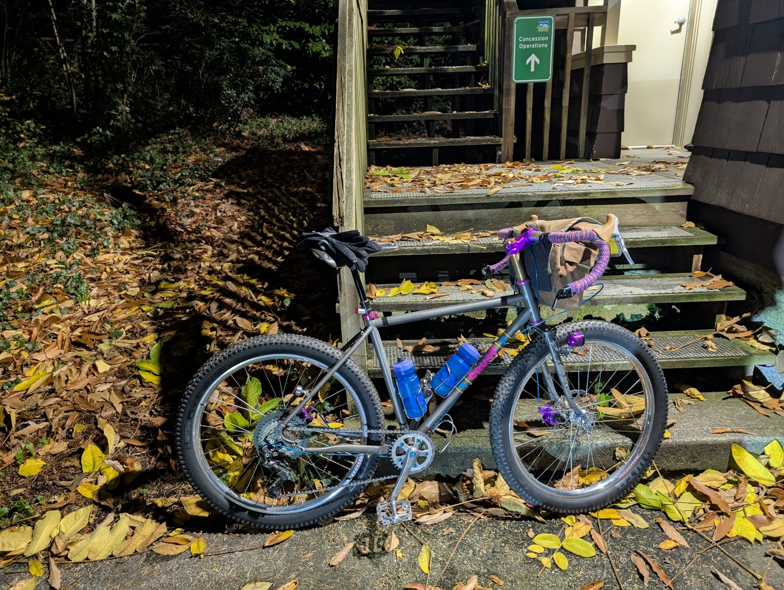
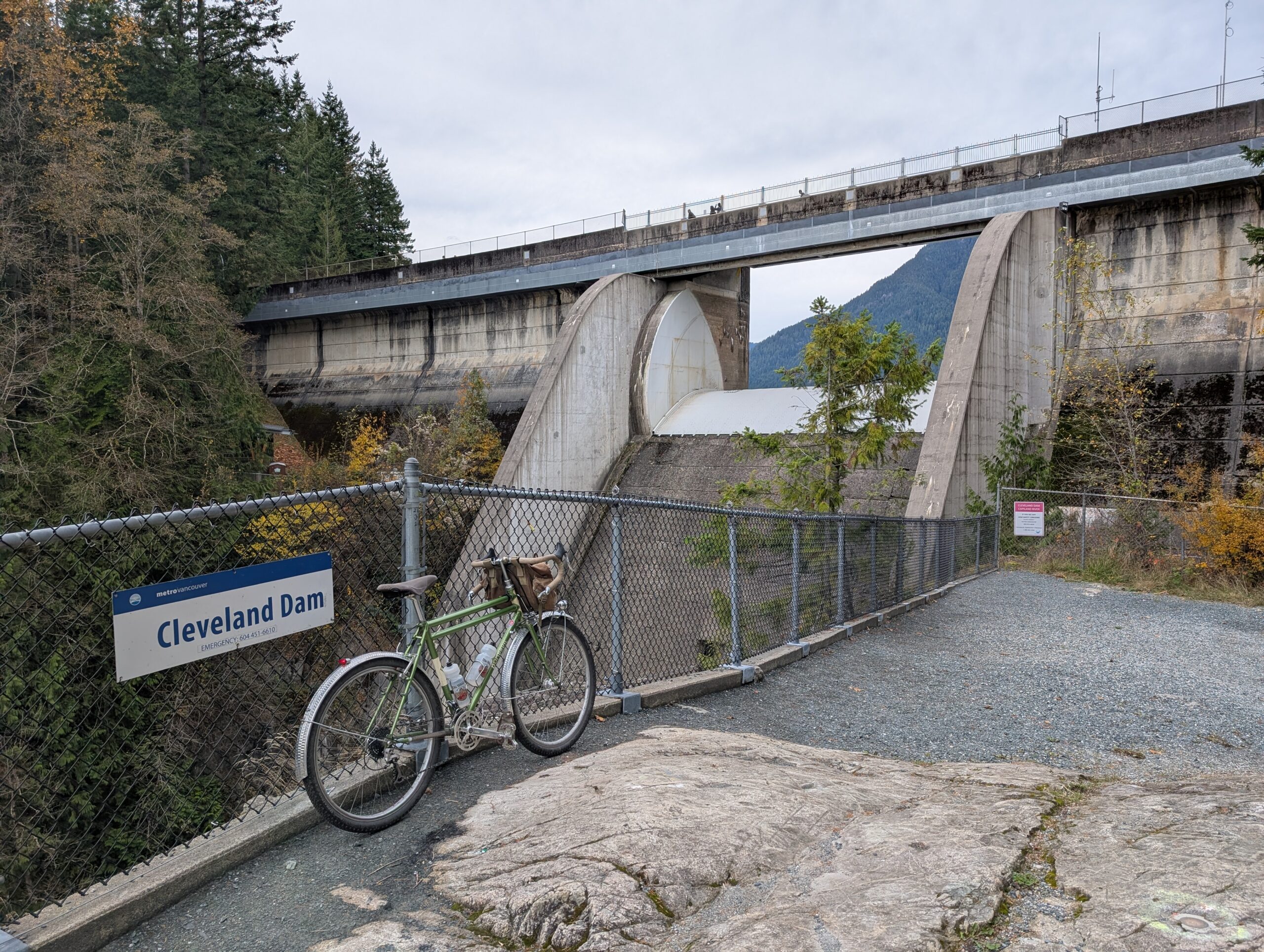
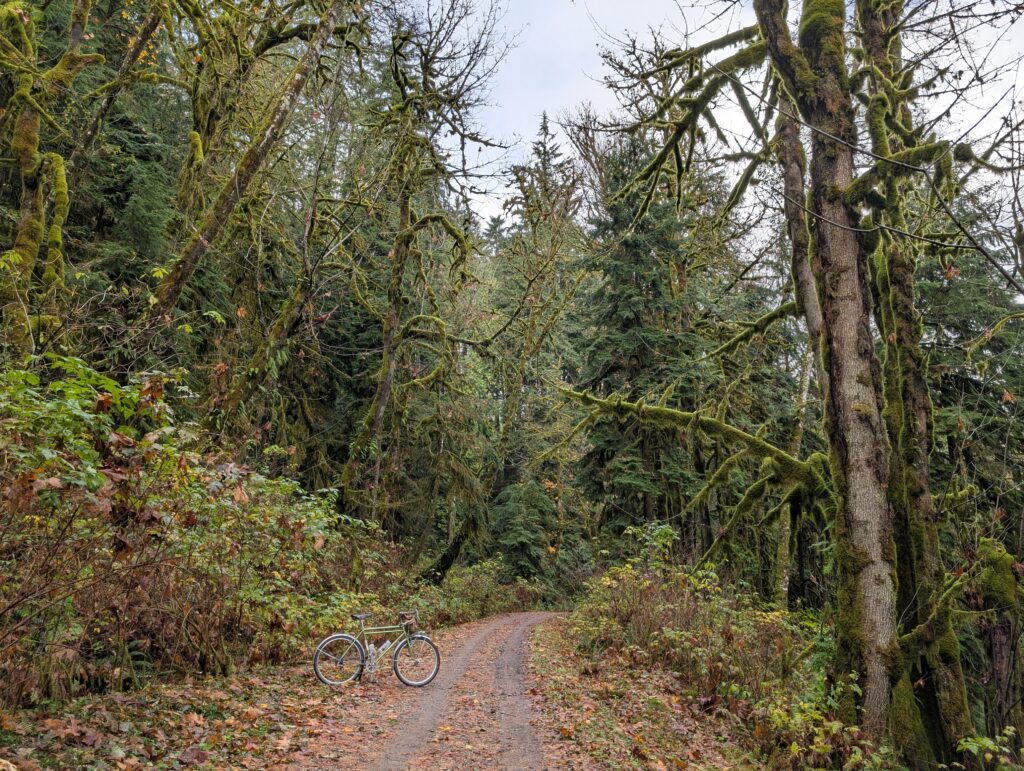
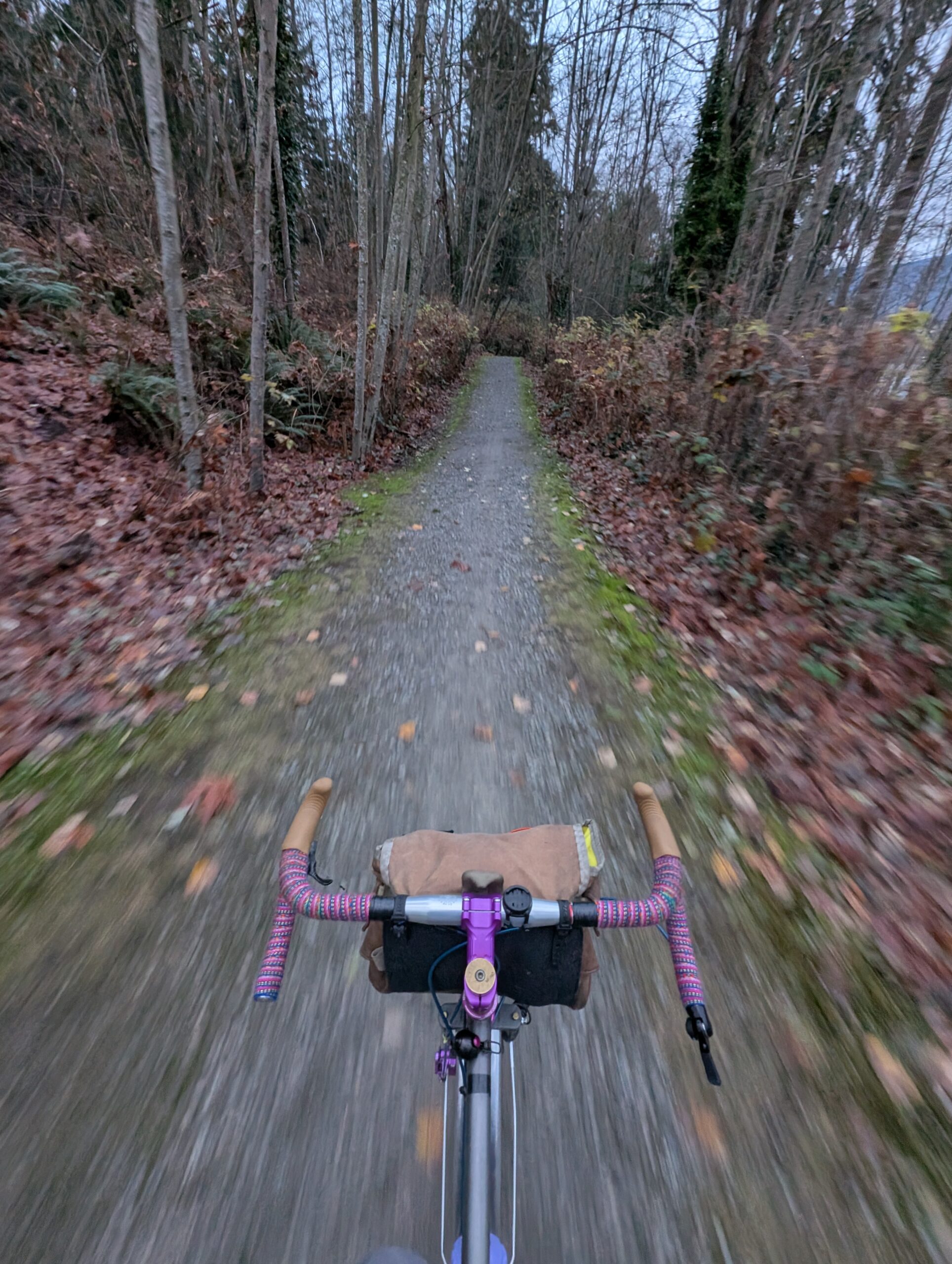
Again I am riding the Crust Evasion, which I’ve had built up for 2.5 weeks at this point and with today’s ride, it has 212km on it – it’s basically the only bike I’ve ridden since it was built. New bike excitement for sure, but it’s also just very useful for the typical ride I set out for.
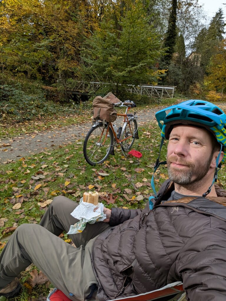
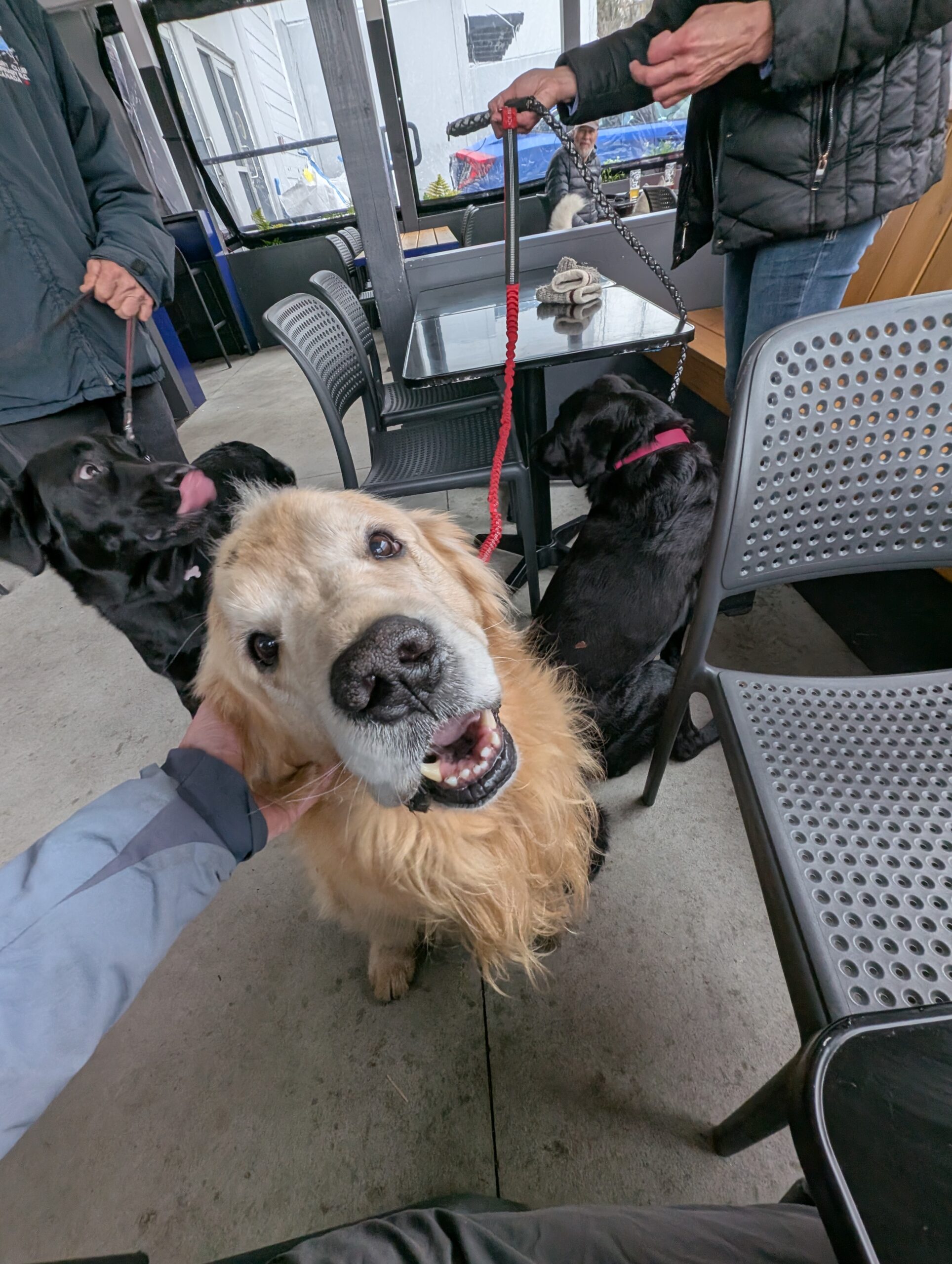
I also got a smash burger to sustain me and keep my blood sugar in check with the beers. I met the goodest boy as a bonus!
I left as soon as my slowly-drank flight was done before I got myself into any trouble. Thankfully I avoided any noticeable beer buzz, which was certainly a concern given the strength of those beers. Oh, also – check out this electrified Surly Bridge Club from the brewery, what a unit.

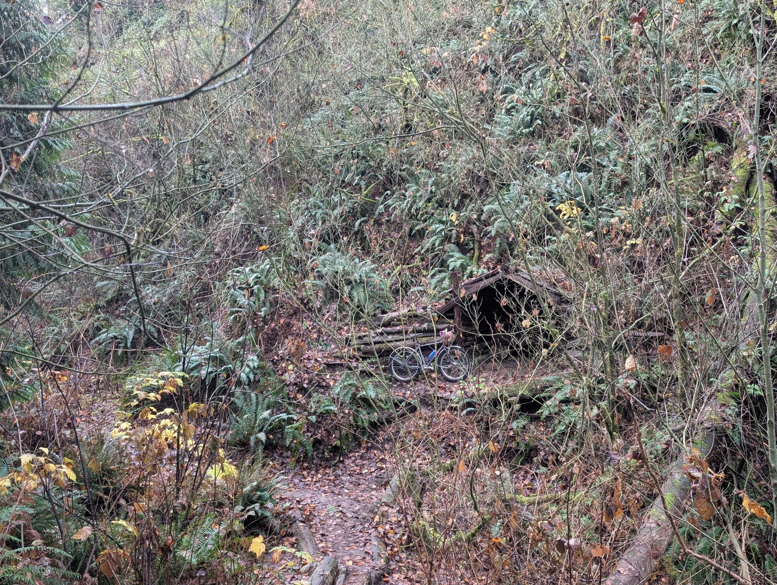
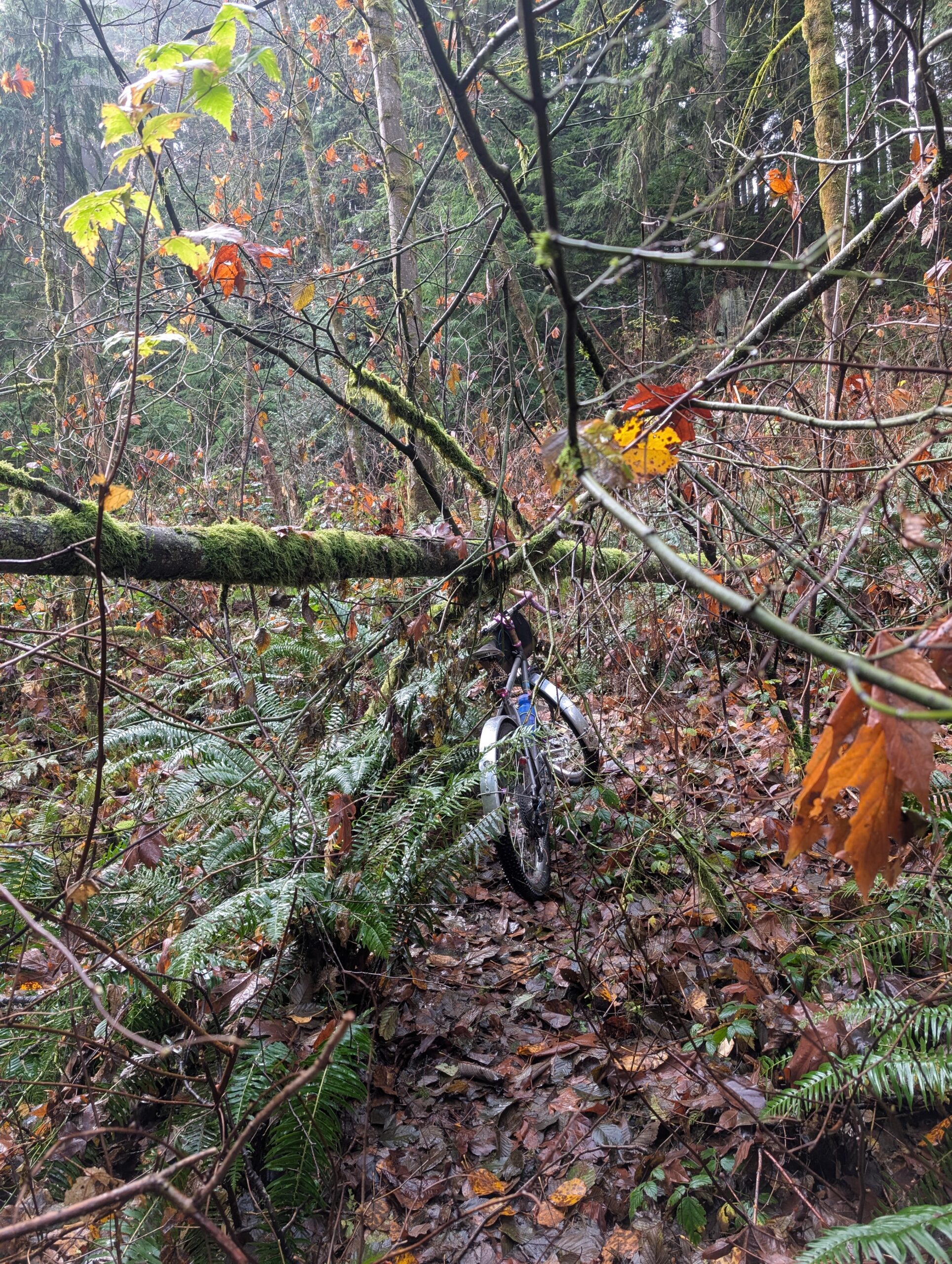
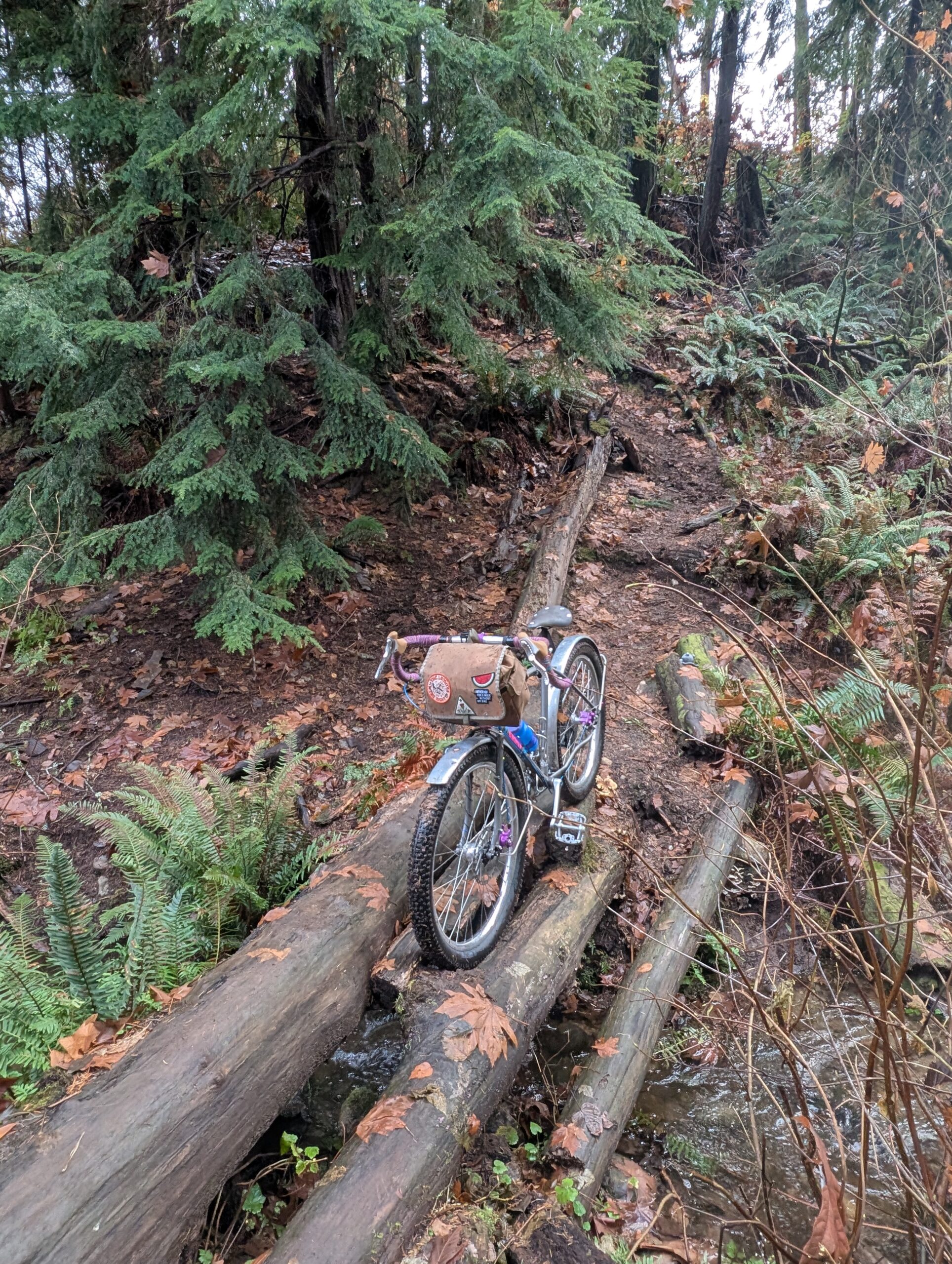
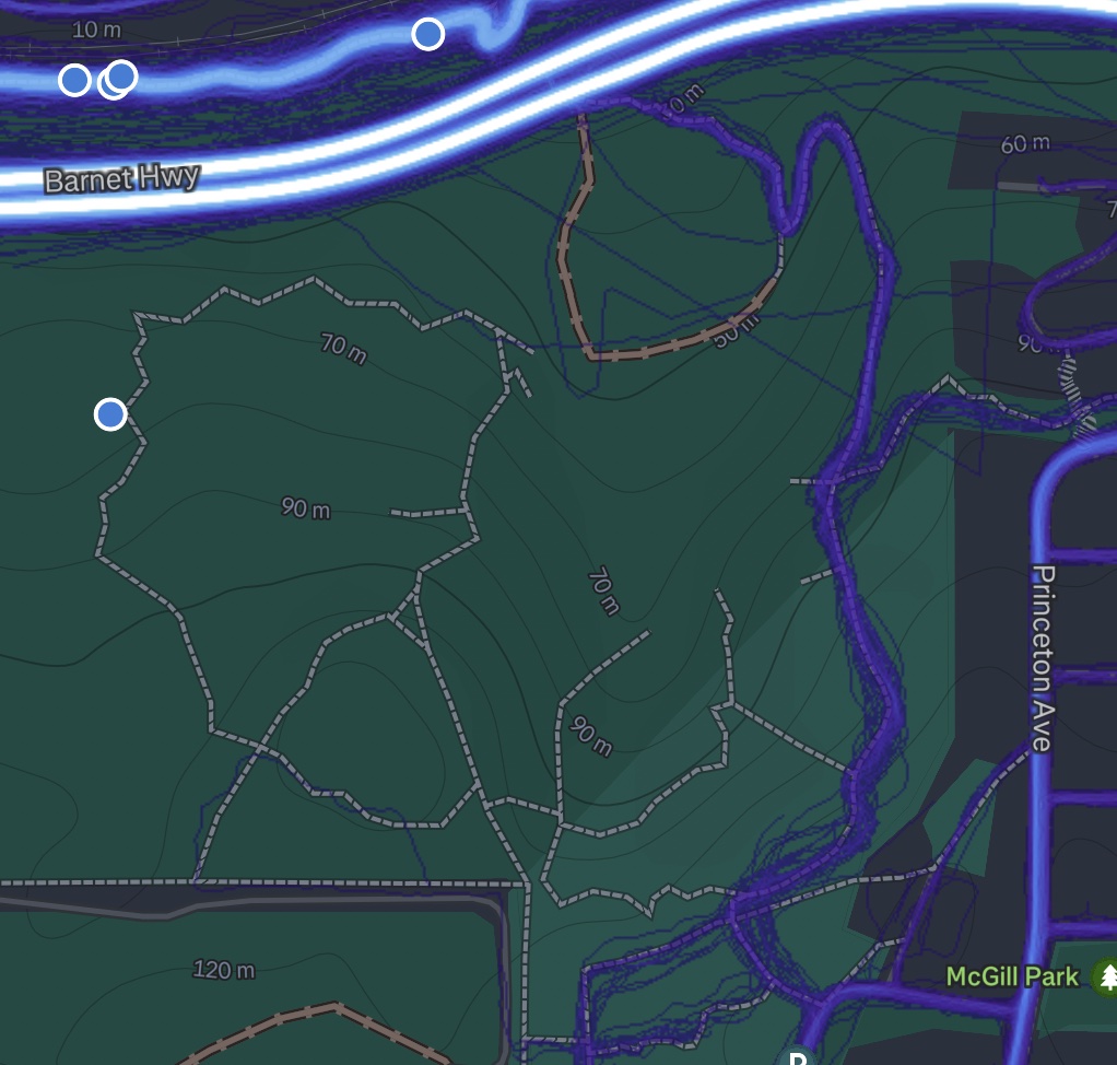
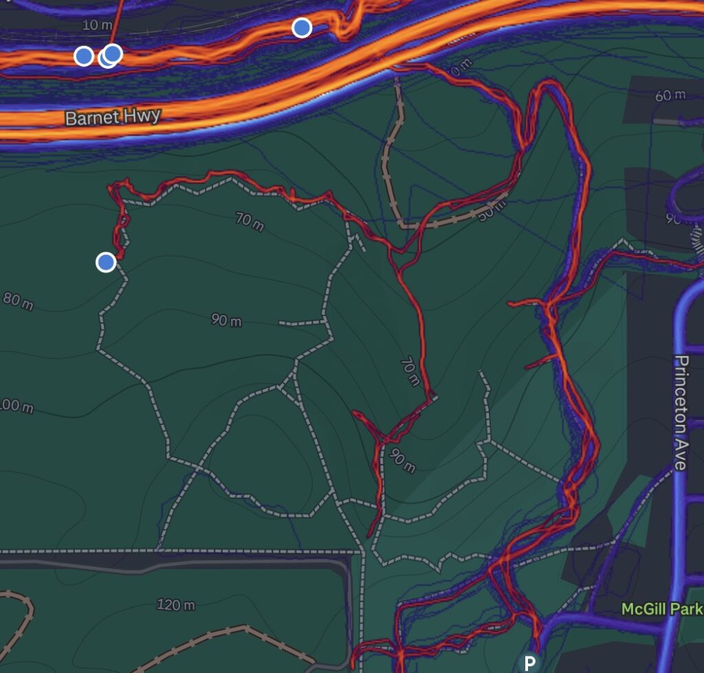
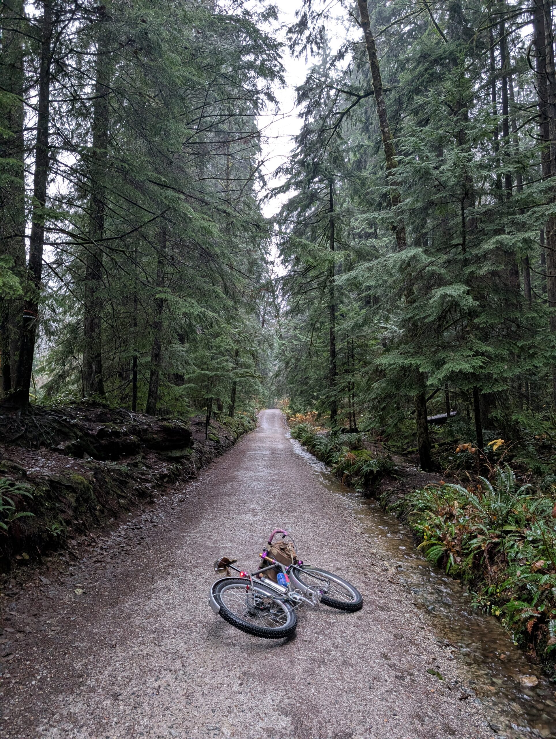
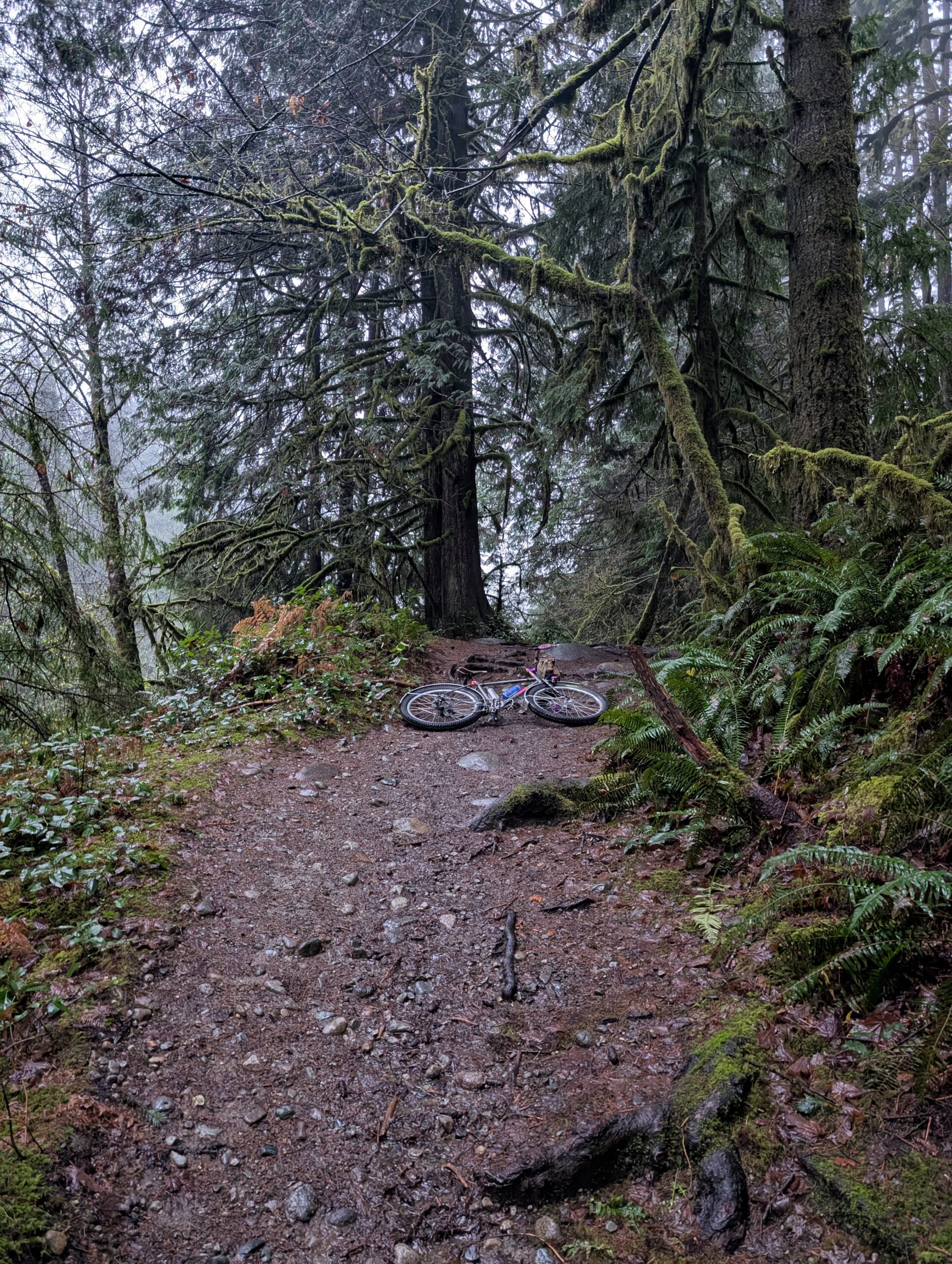
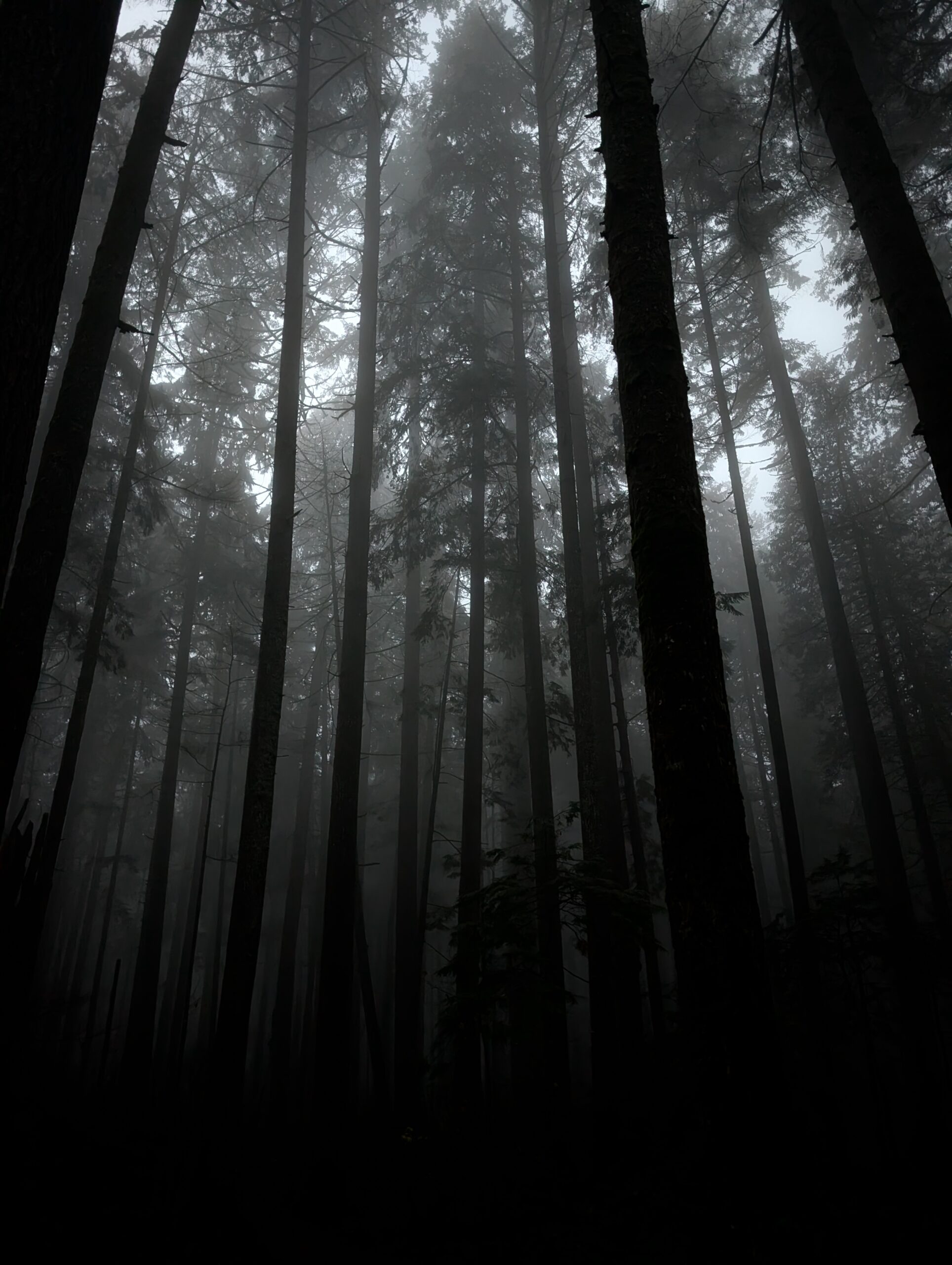
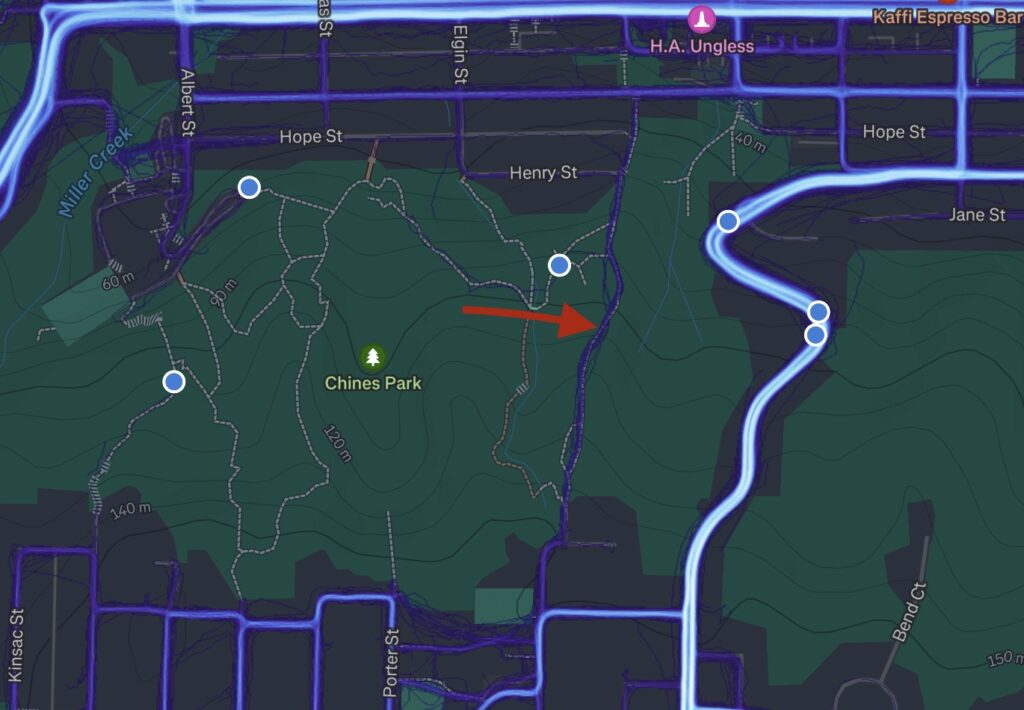
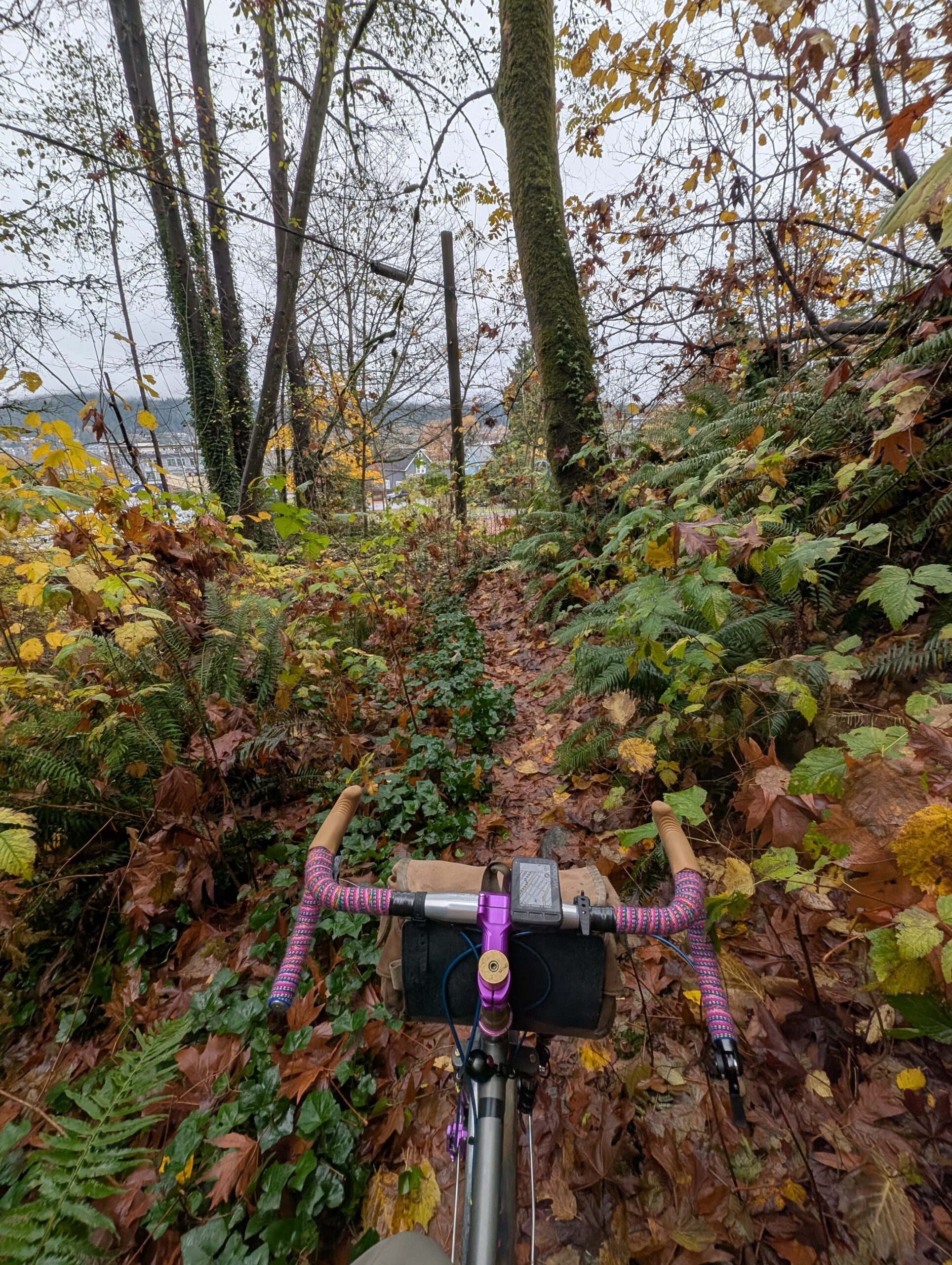
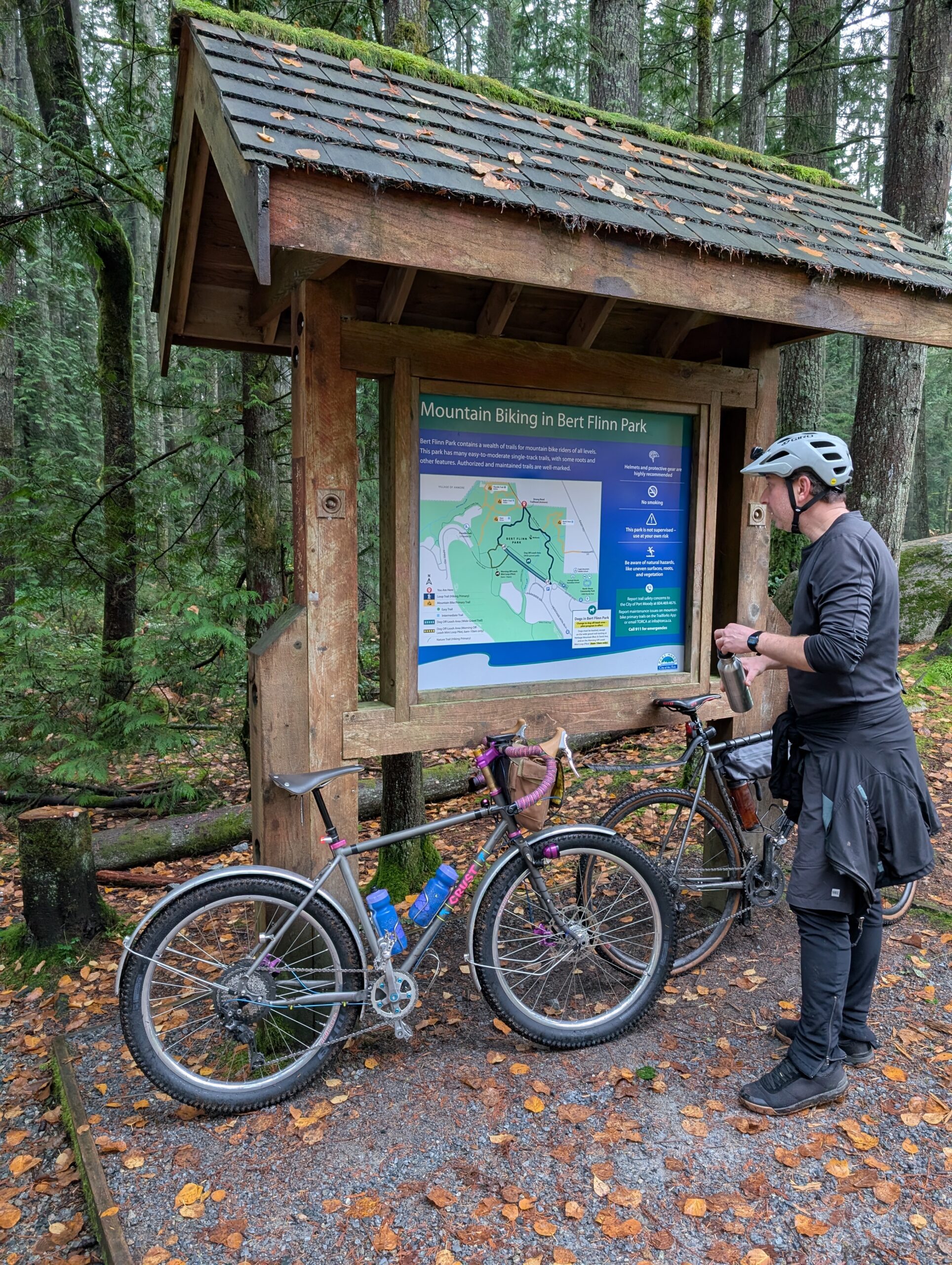
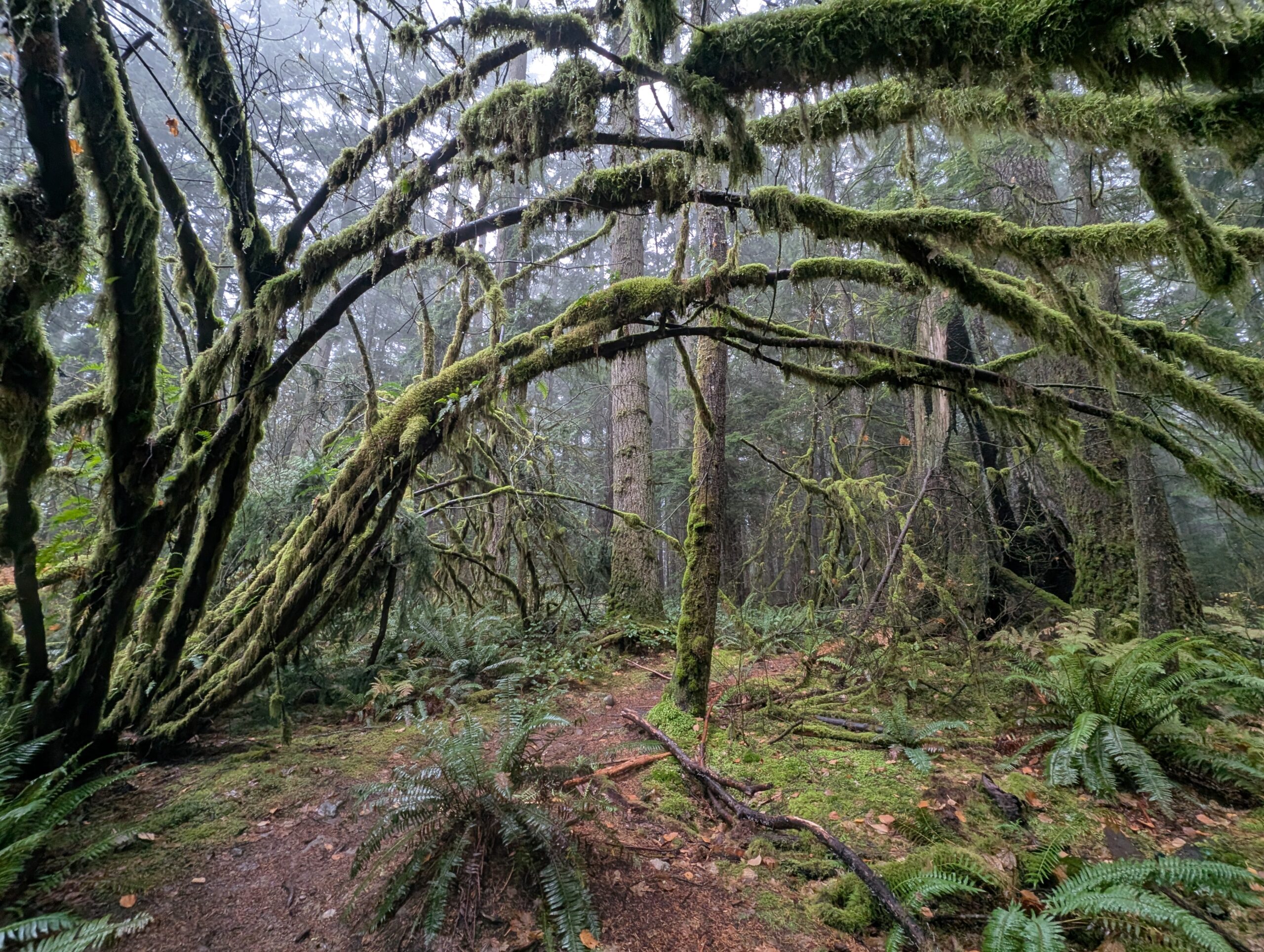
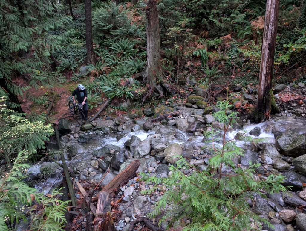
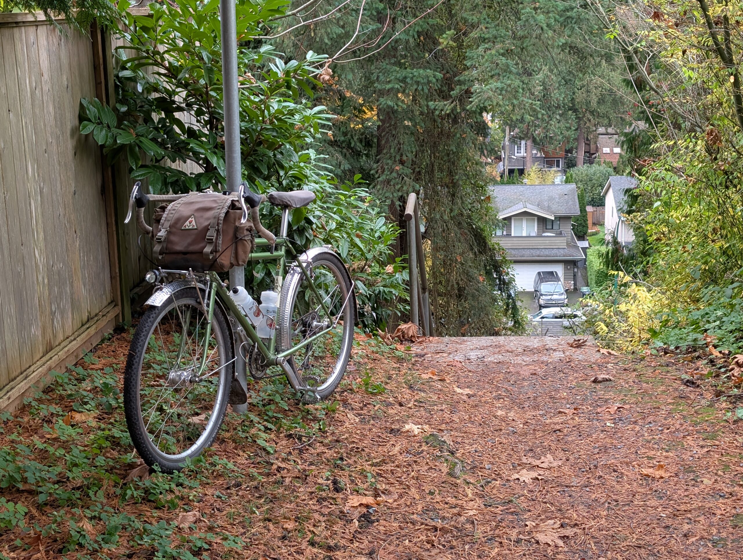
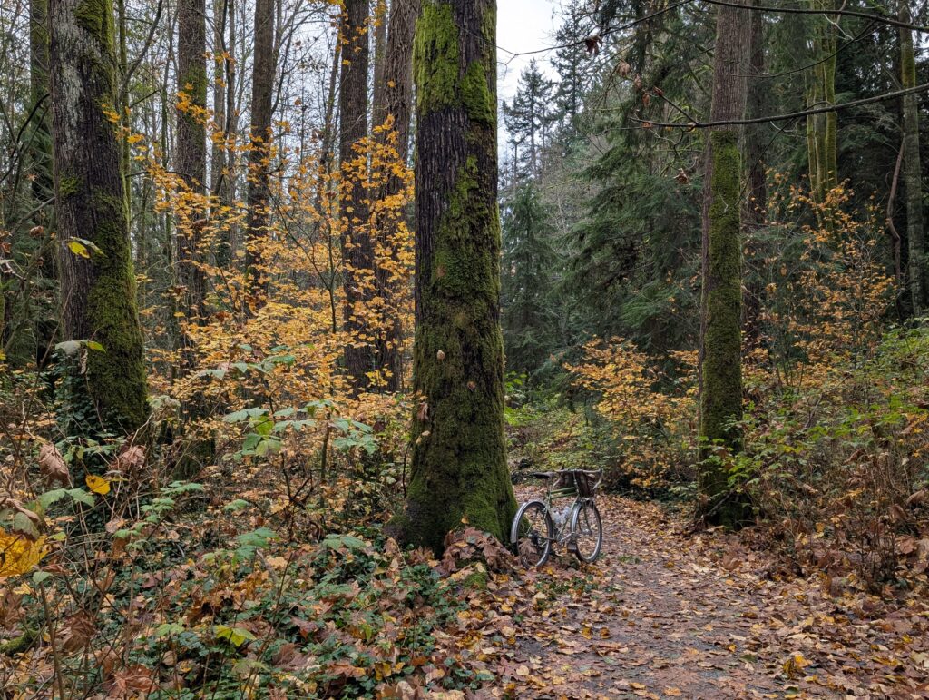
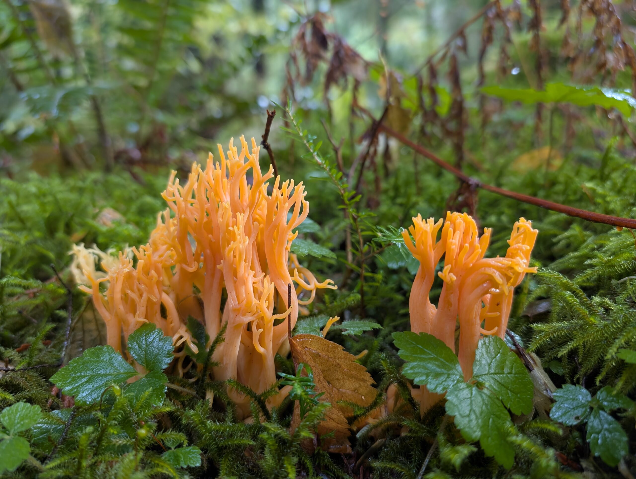
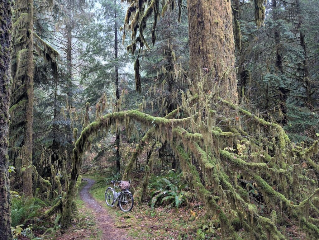
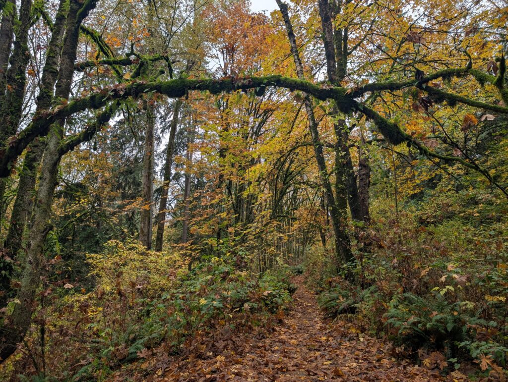
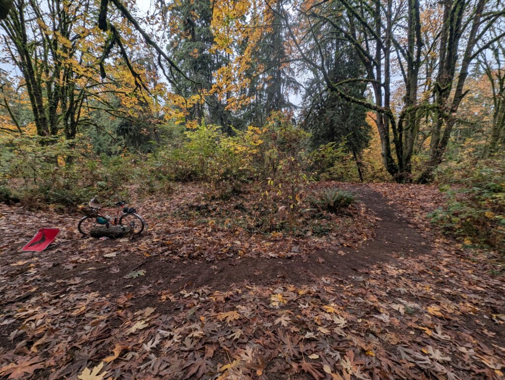
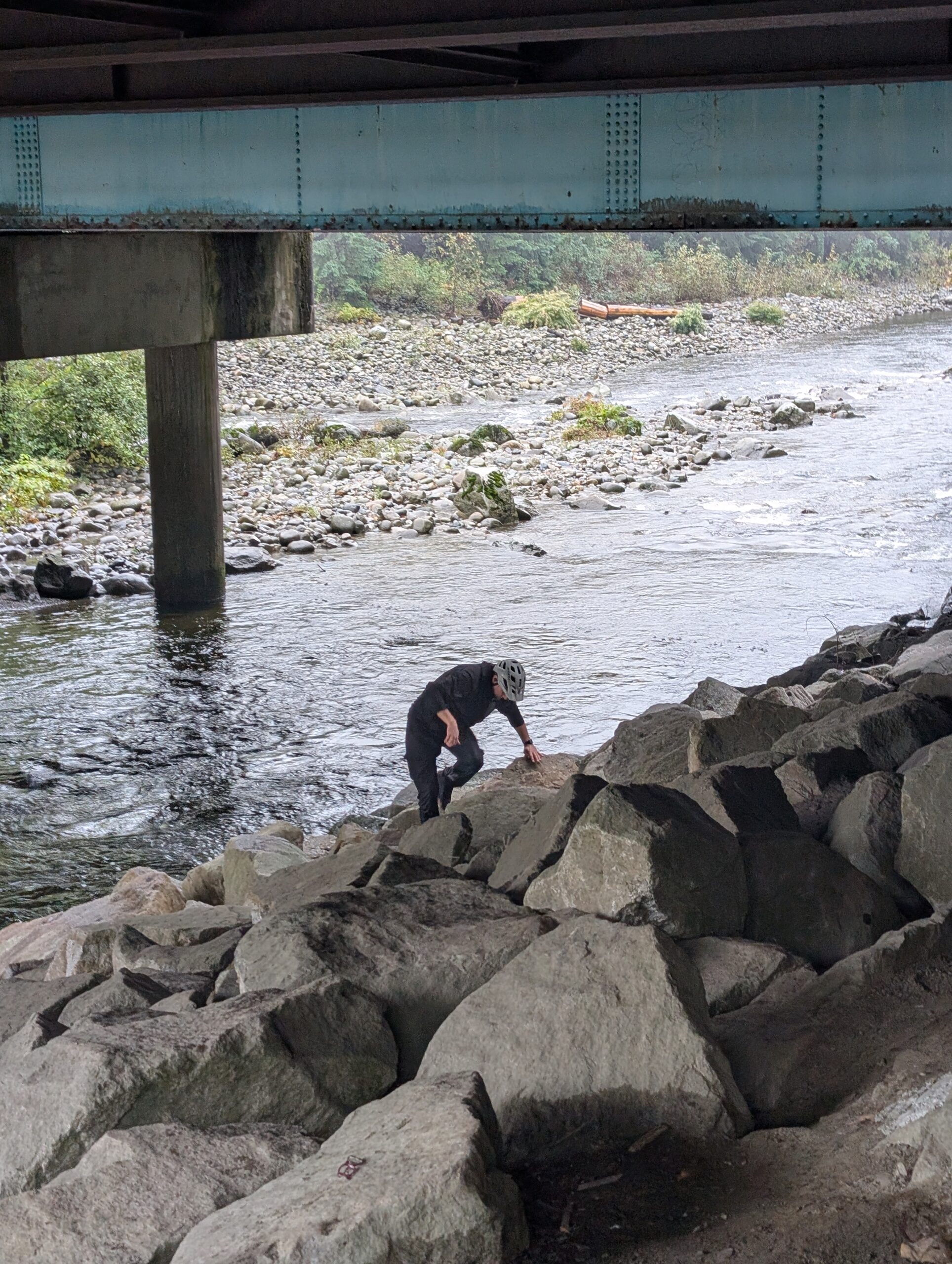
Upon leaving, I made my way around the east side of Burnaby Mountain, climbing up some quiet neighbourhood streets to reach the top of Chines Park, which is a steep north-facing slope with a series of ravines. Two weeks ago I had checked this area out with my pal Rob and we took the one track that had a small amount of heatmap activity – and found it was quite excellent! Today I wanted to check out some of the other tracks that are visible on some maps.
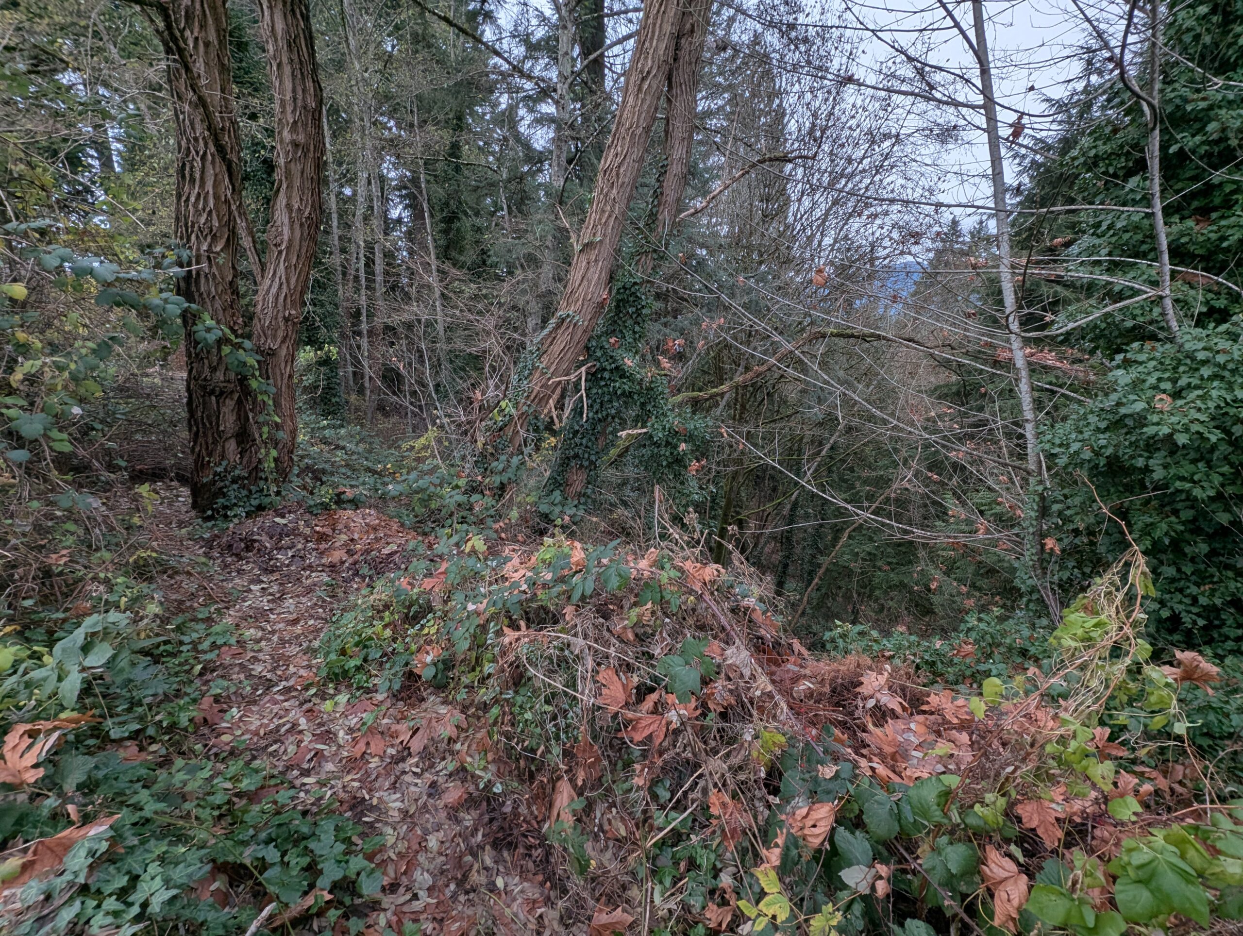
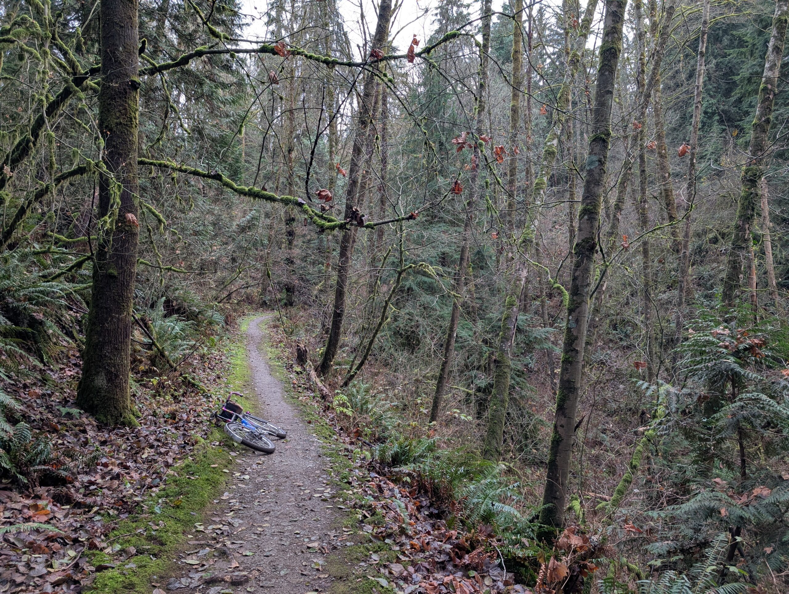

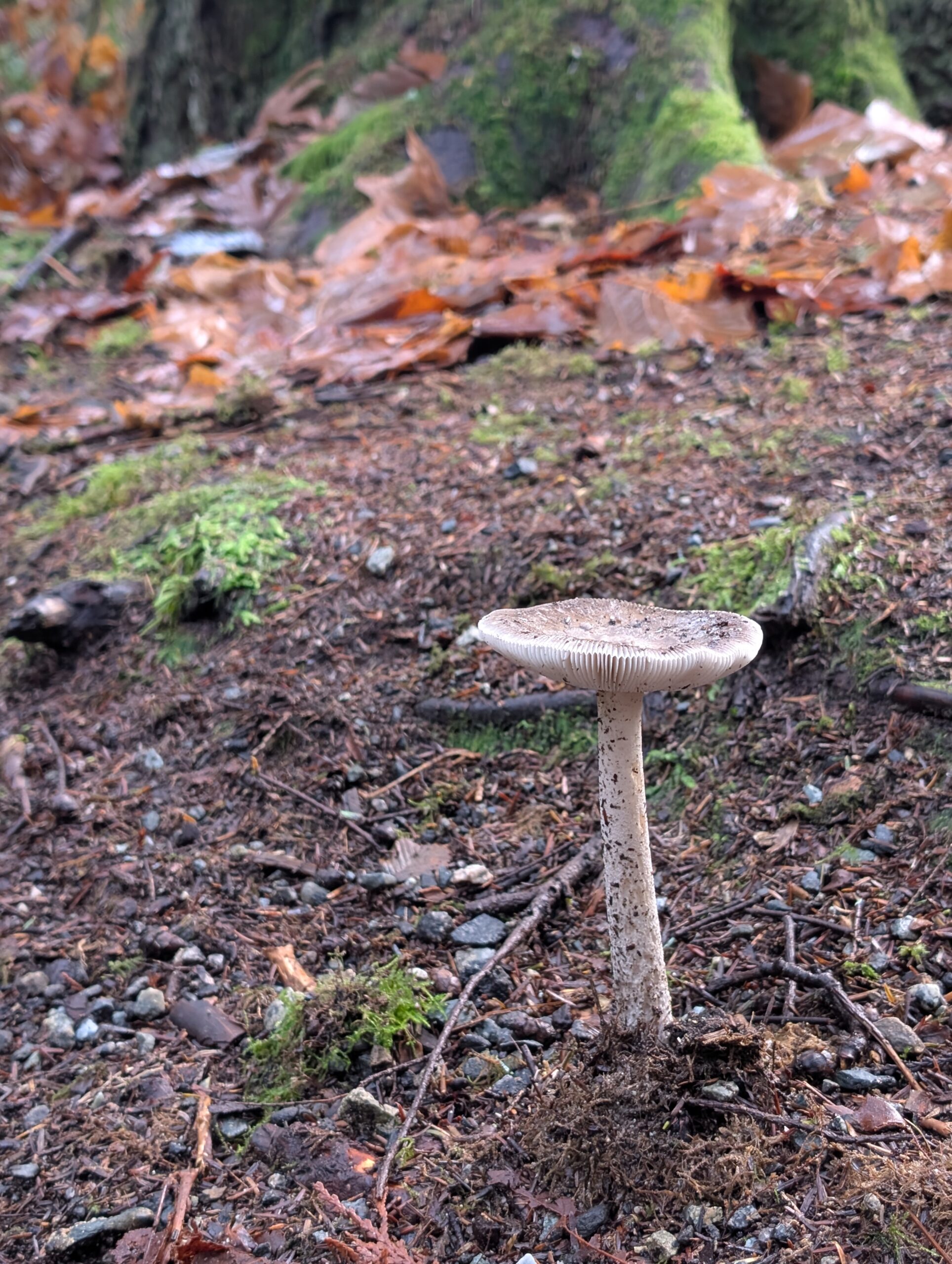
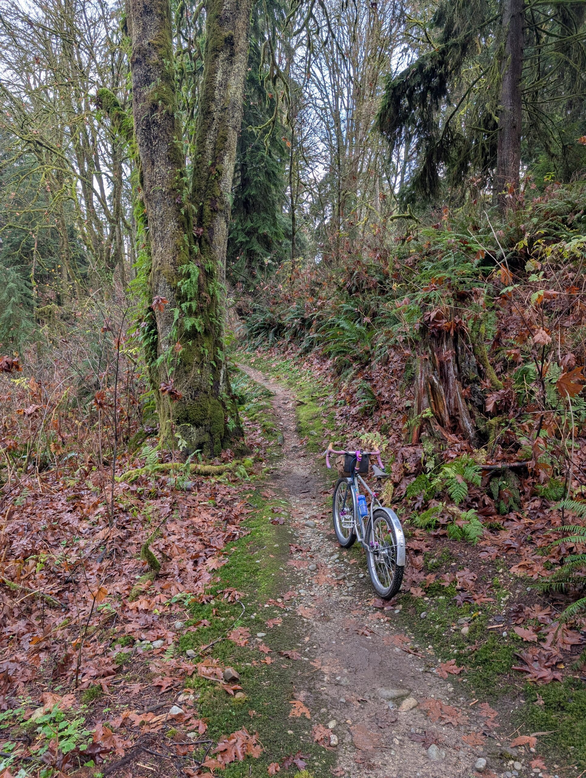
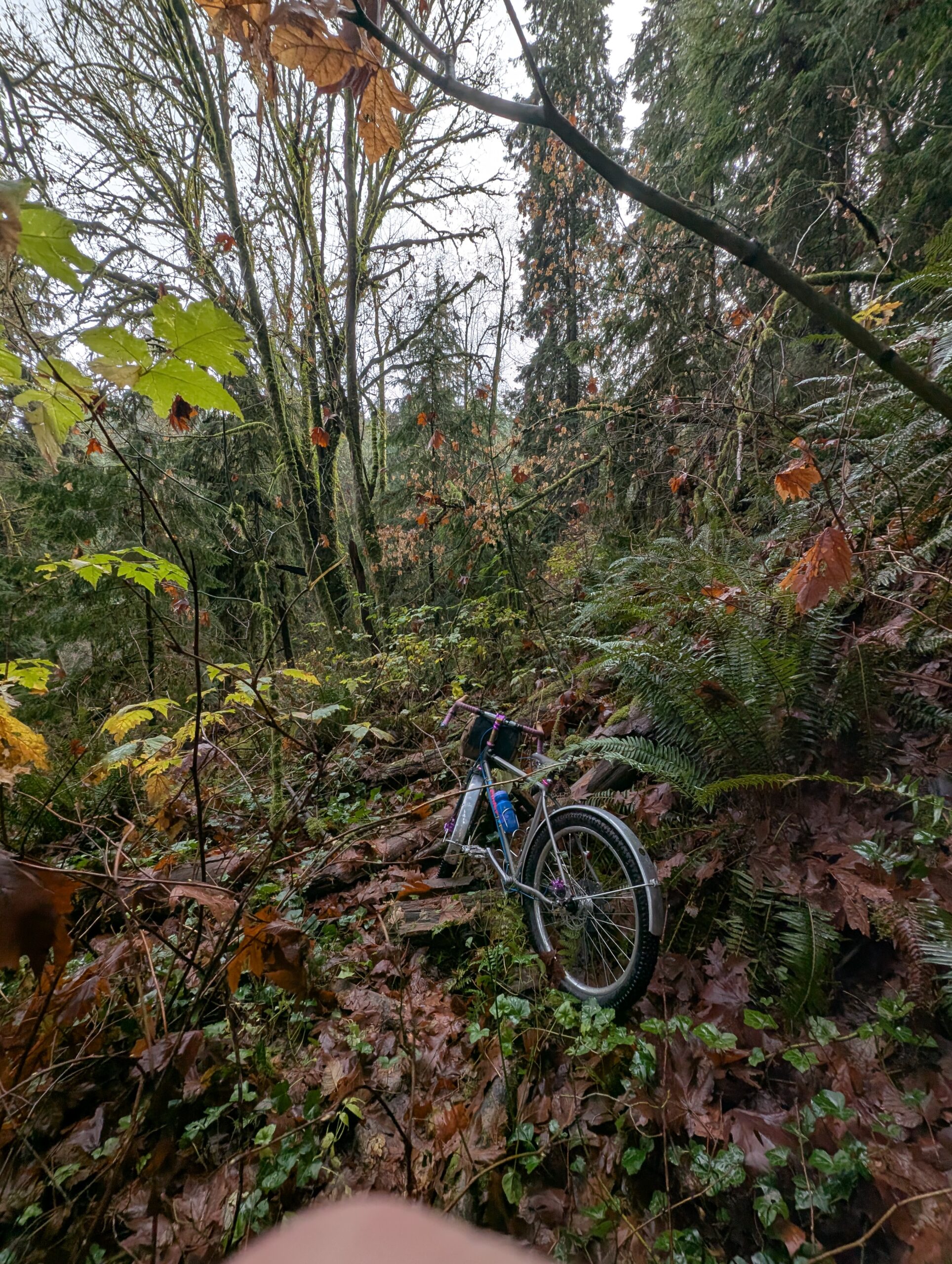
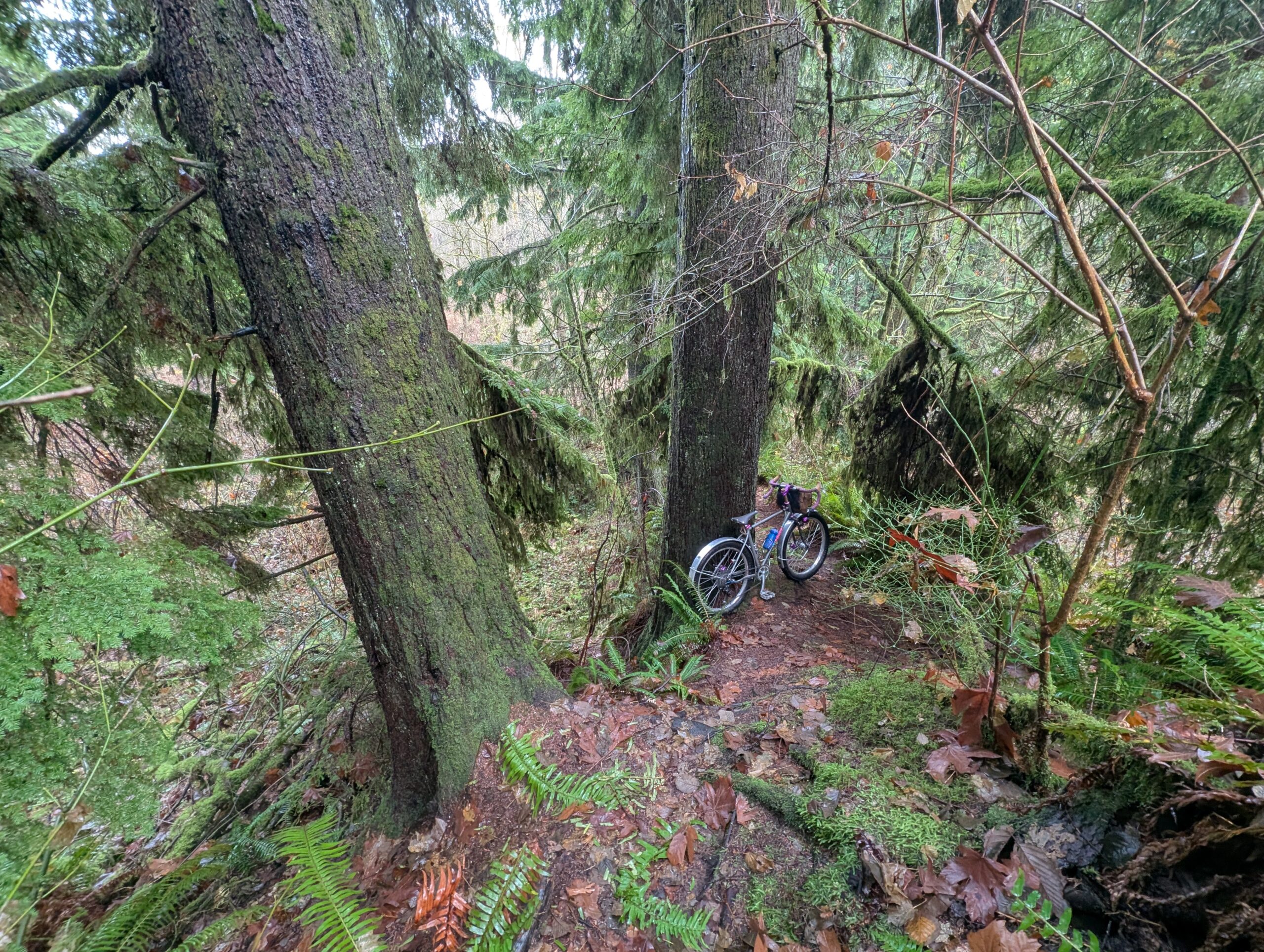
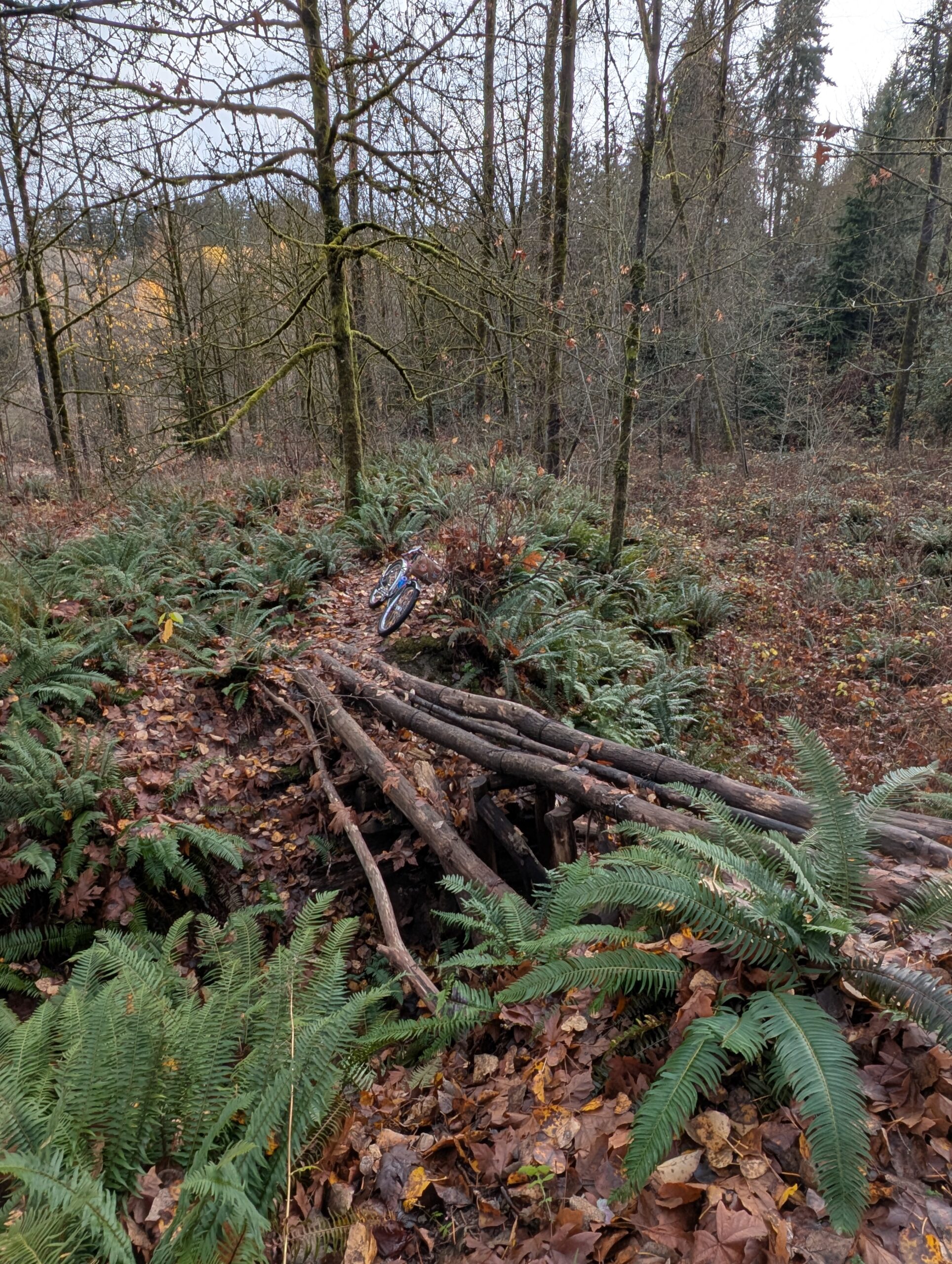
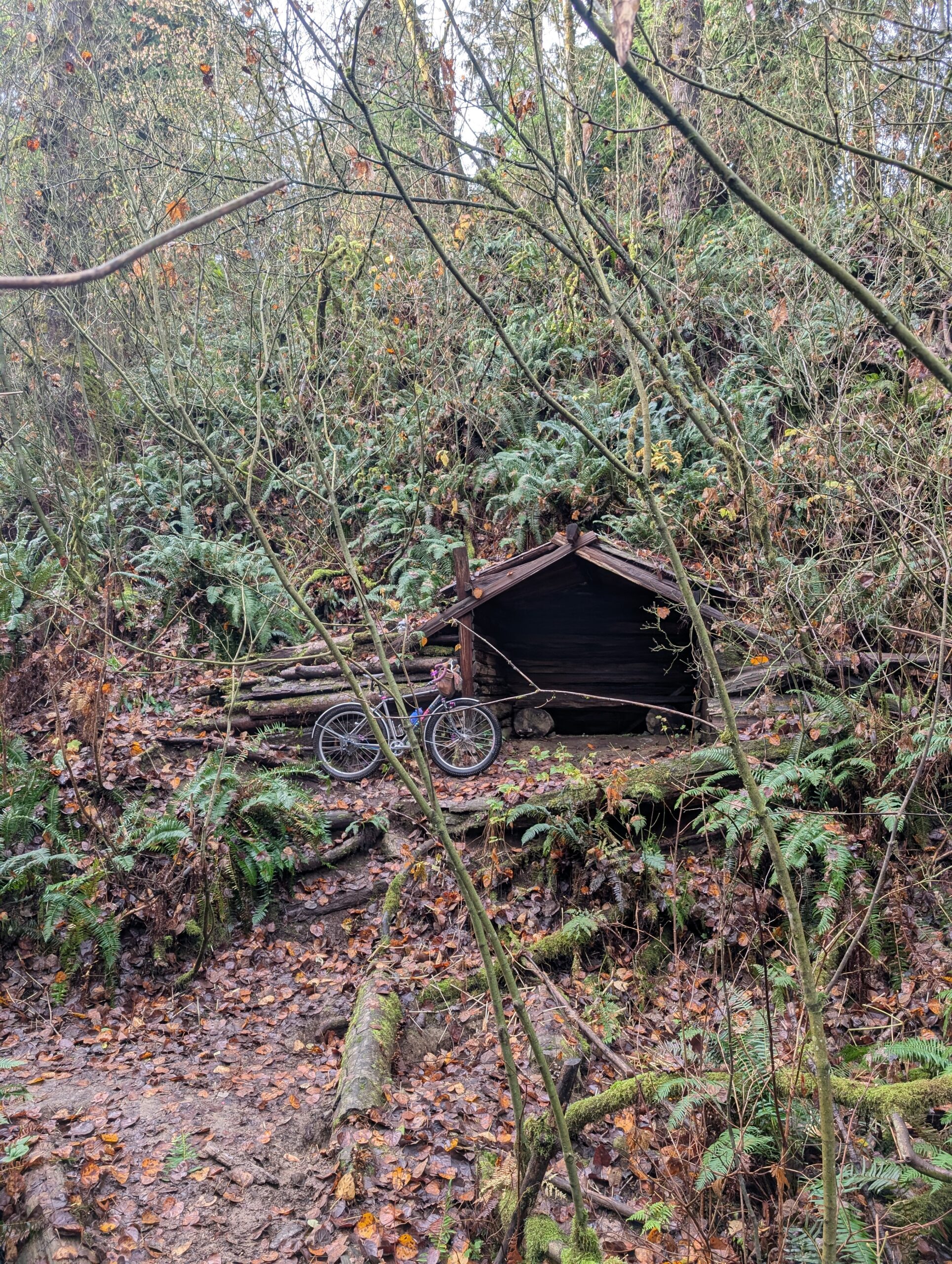
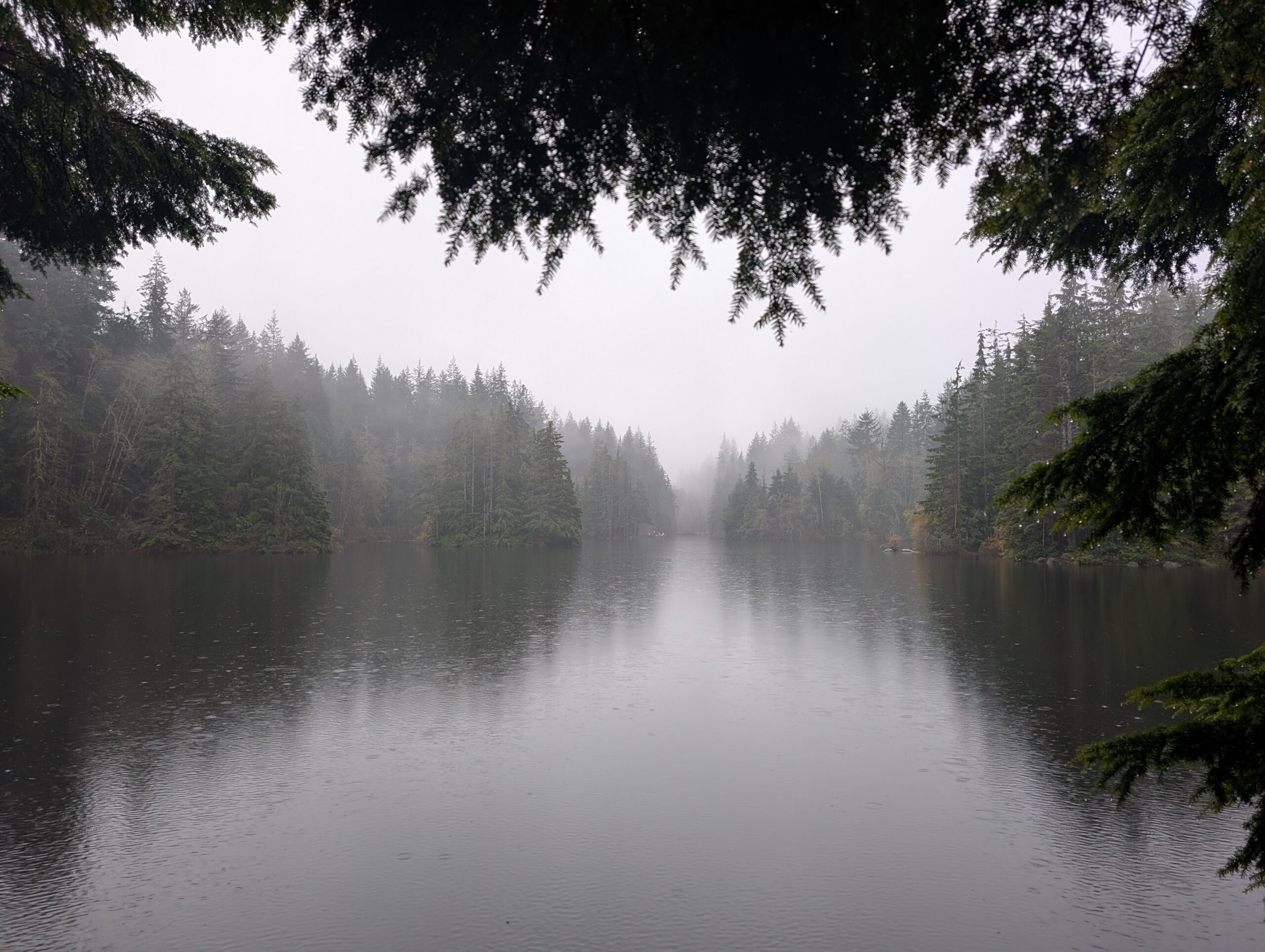
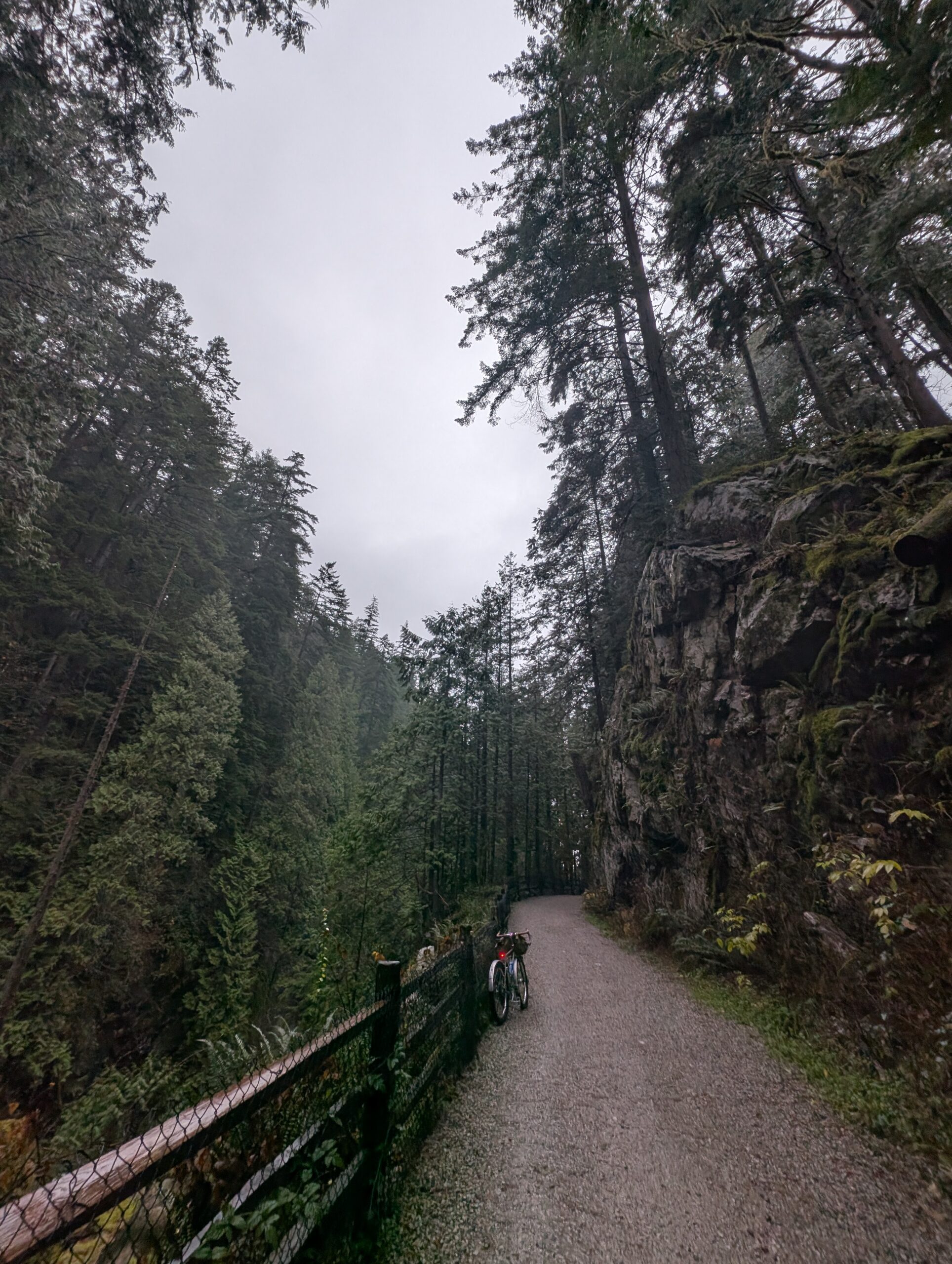
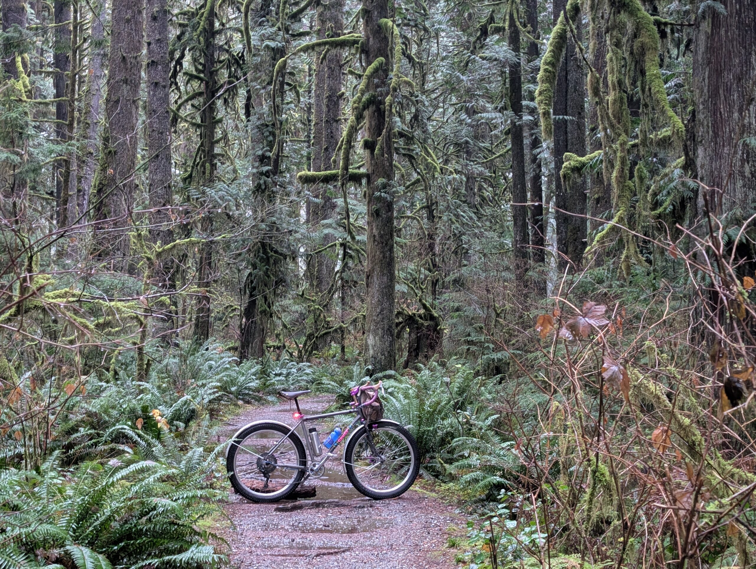
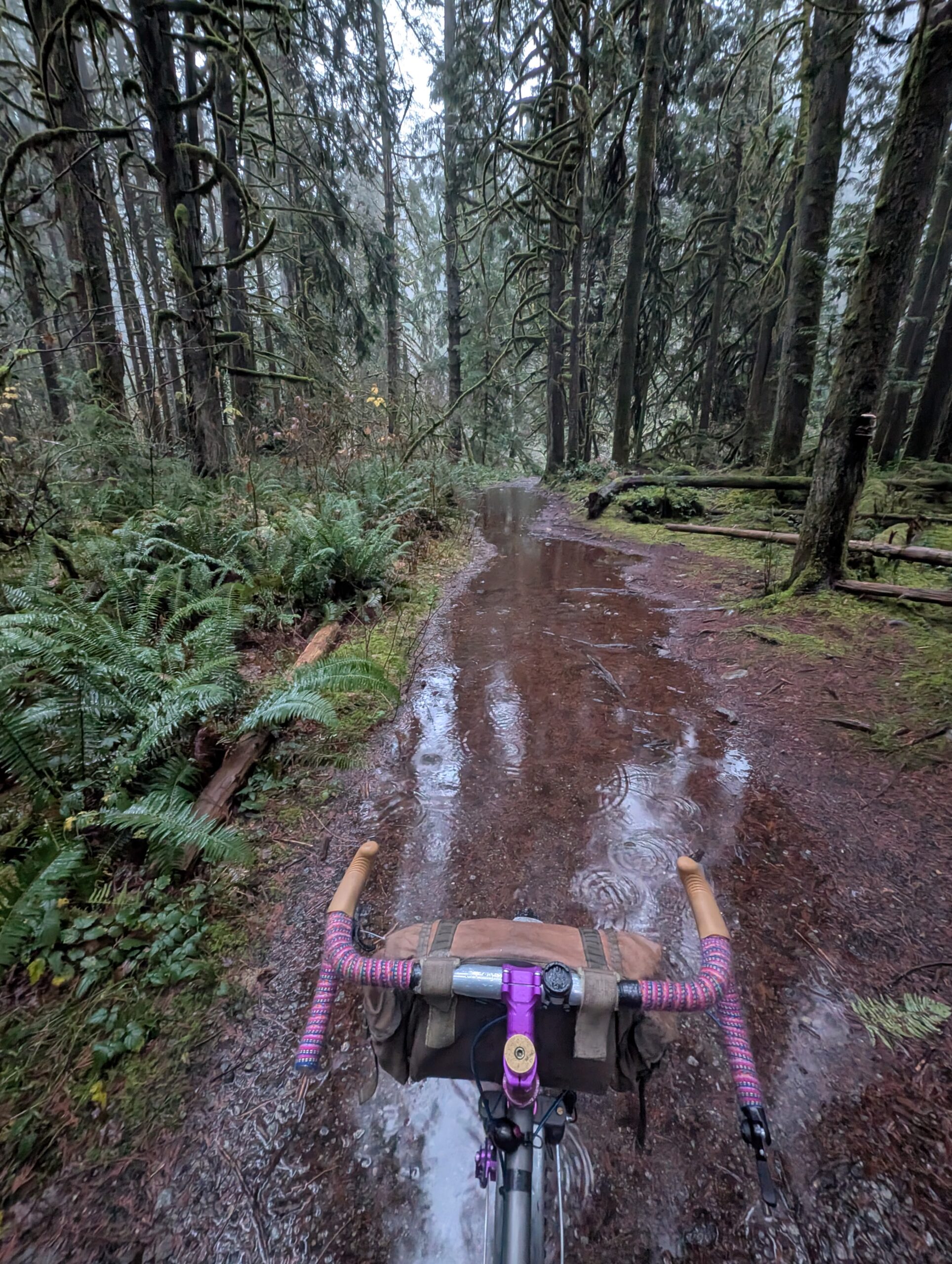
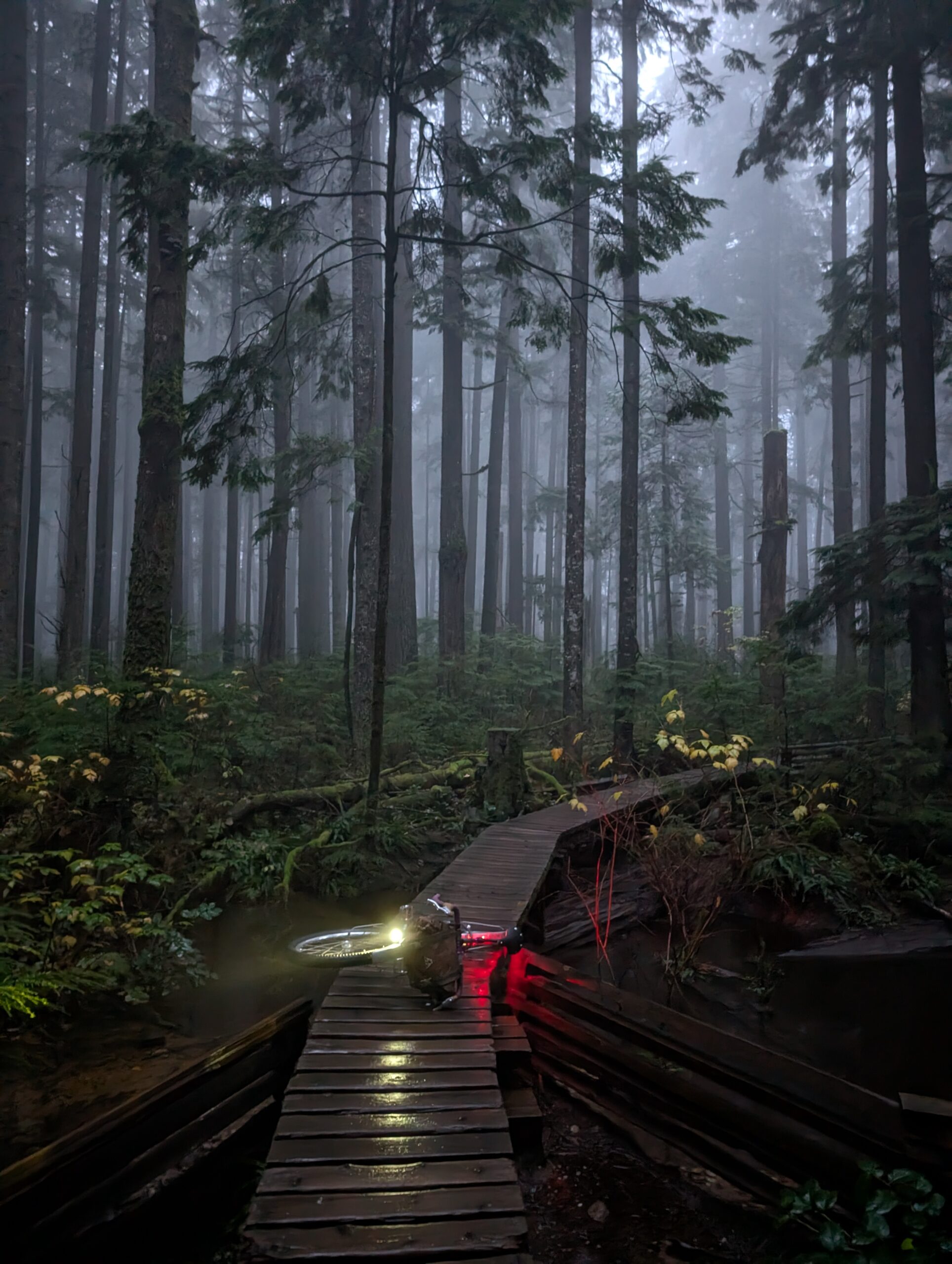
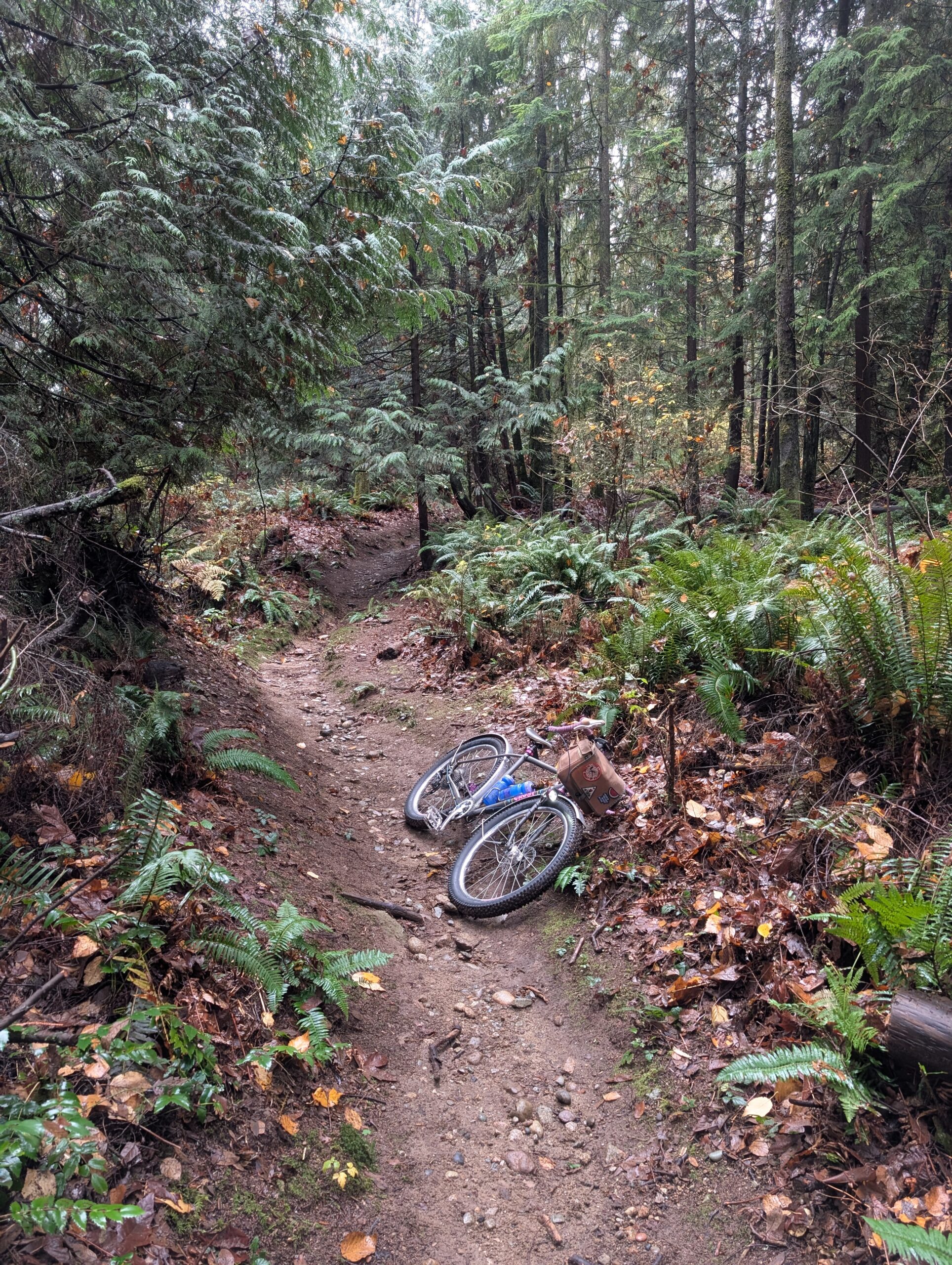
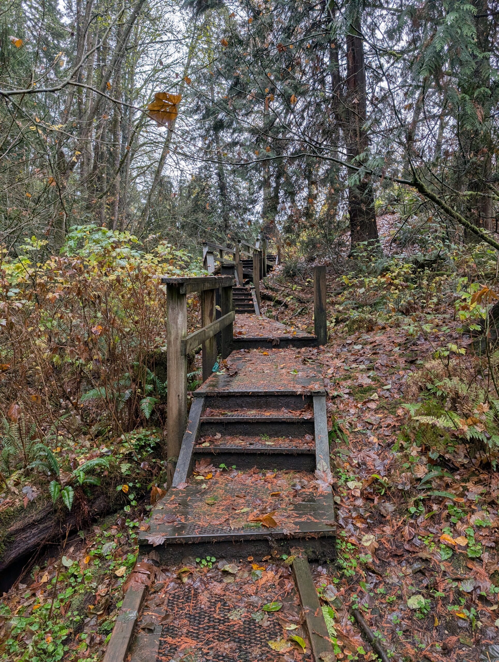
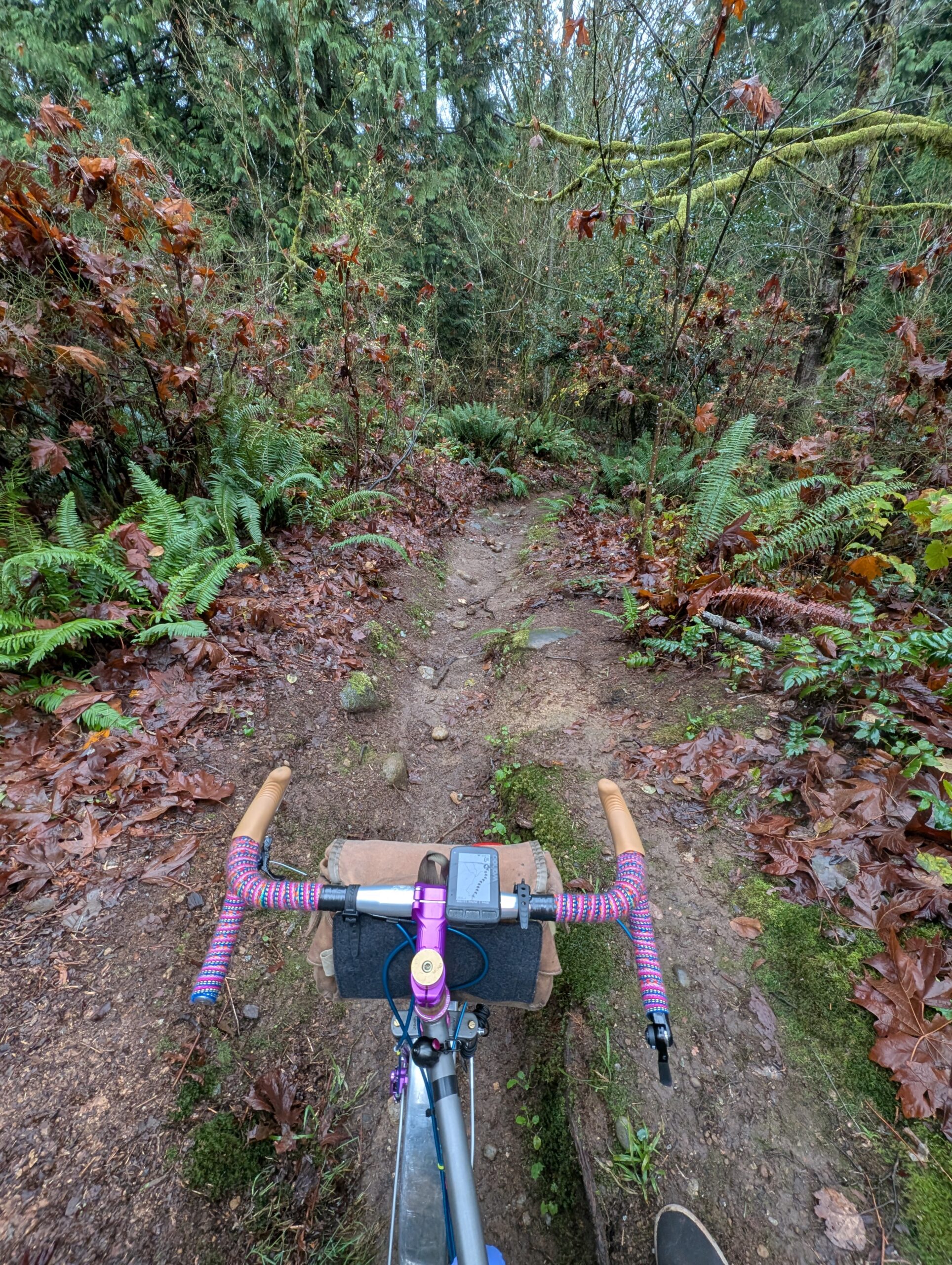
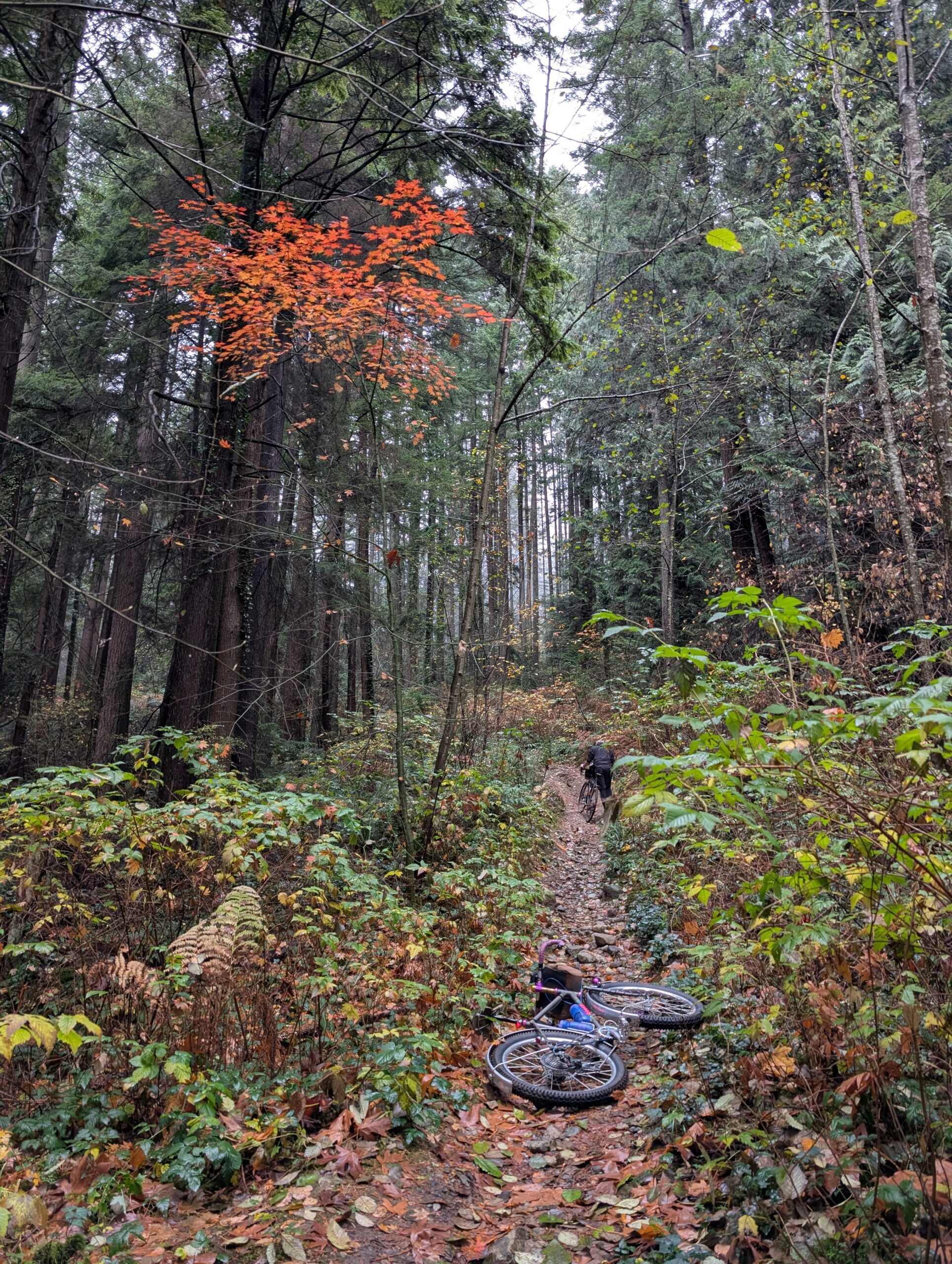
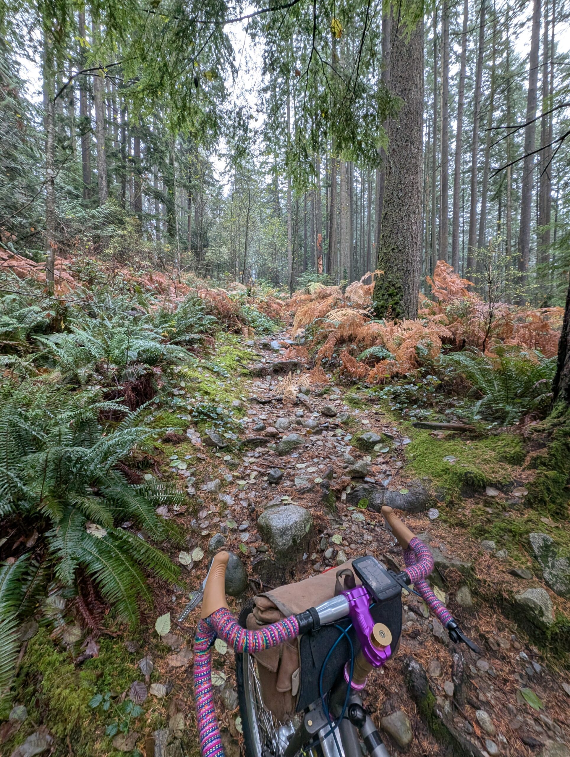
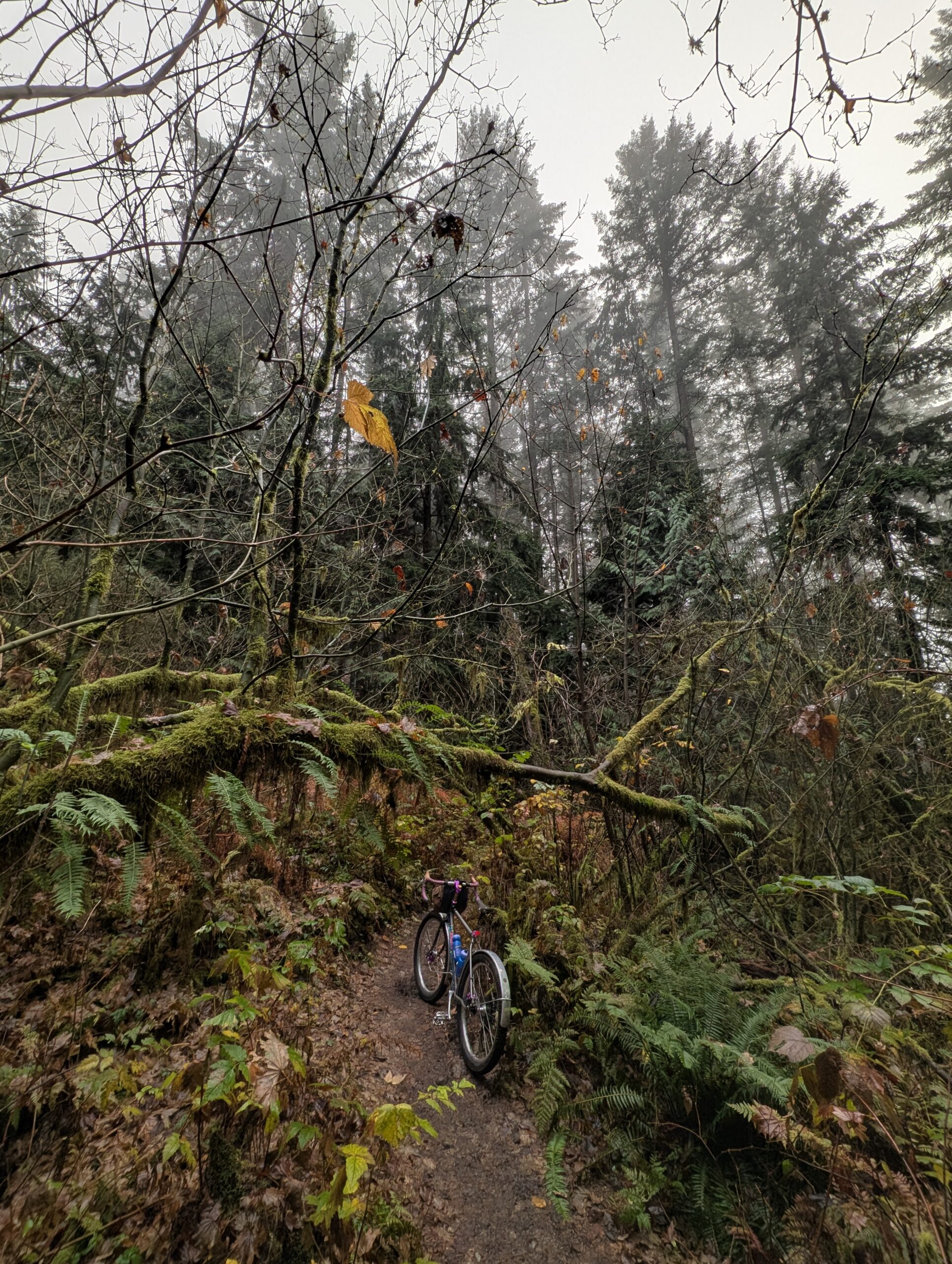
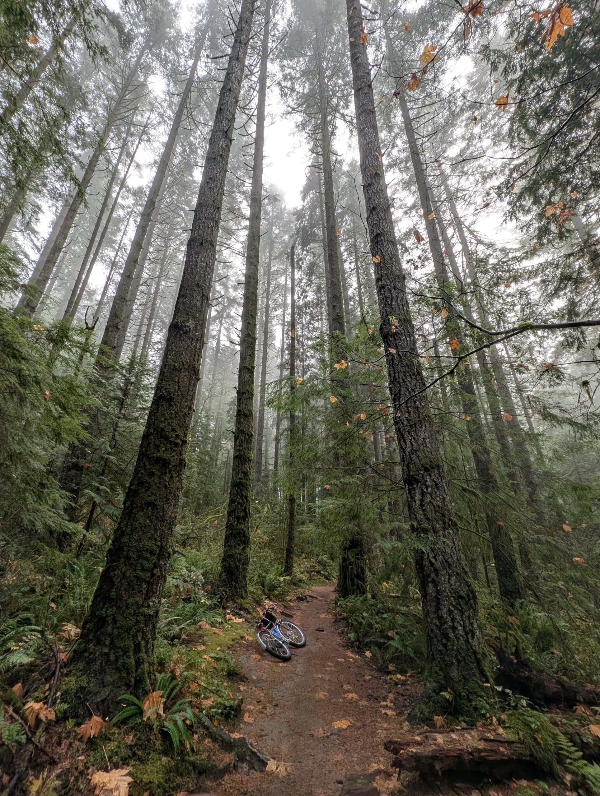
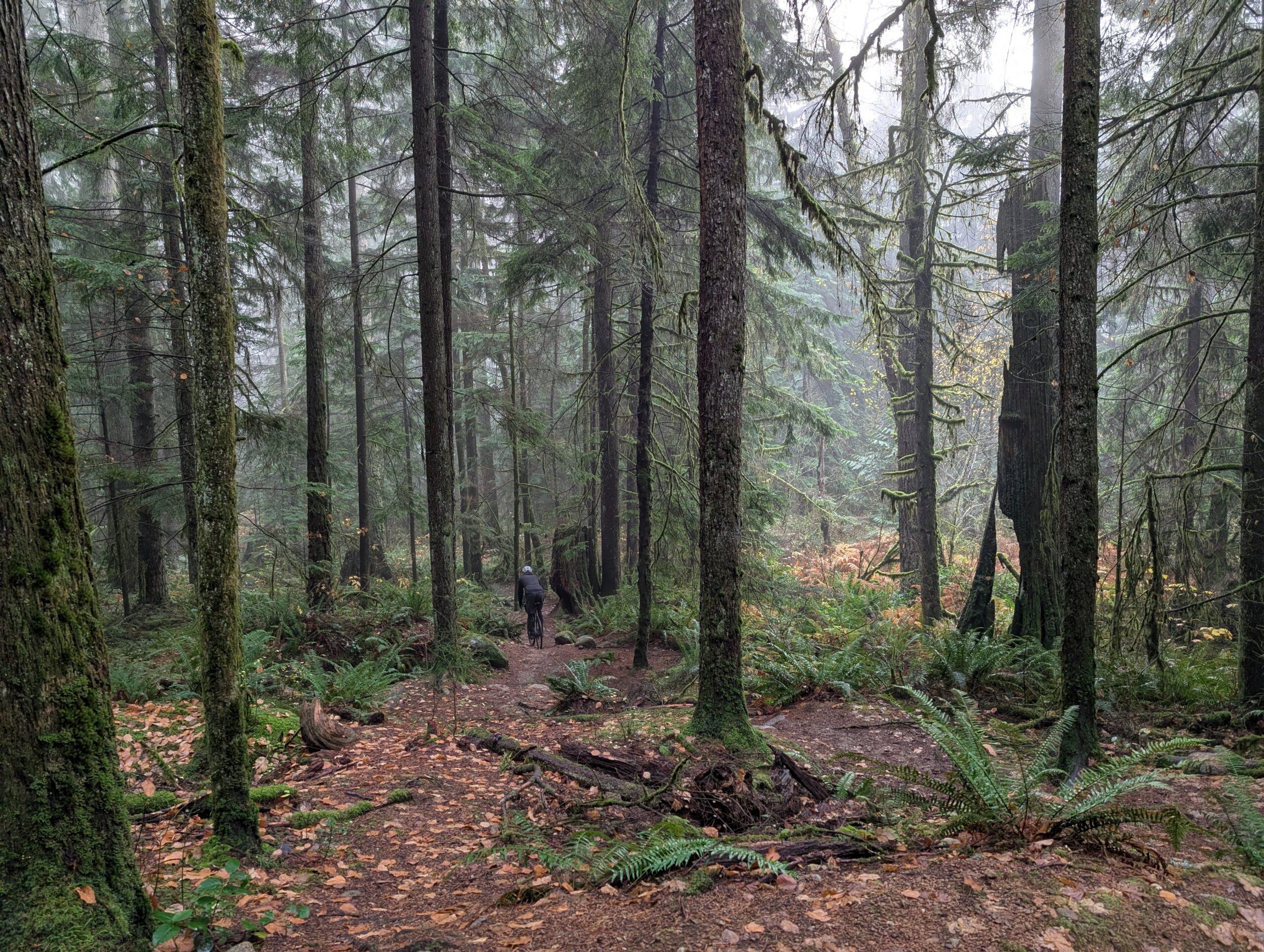
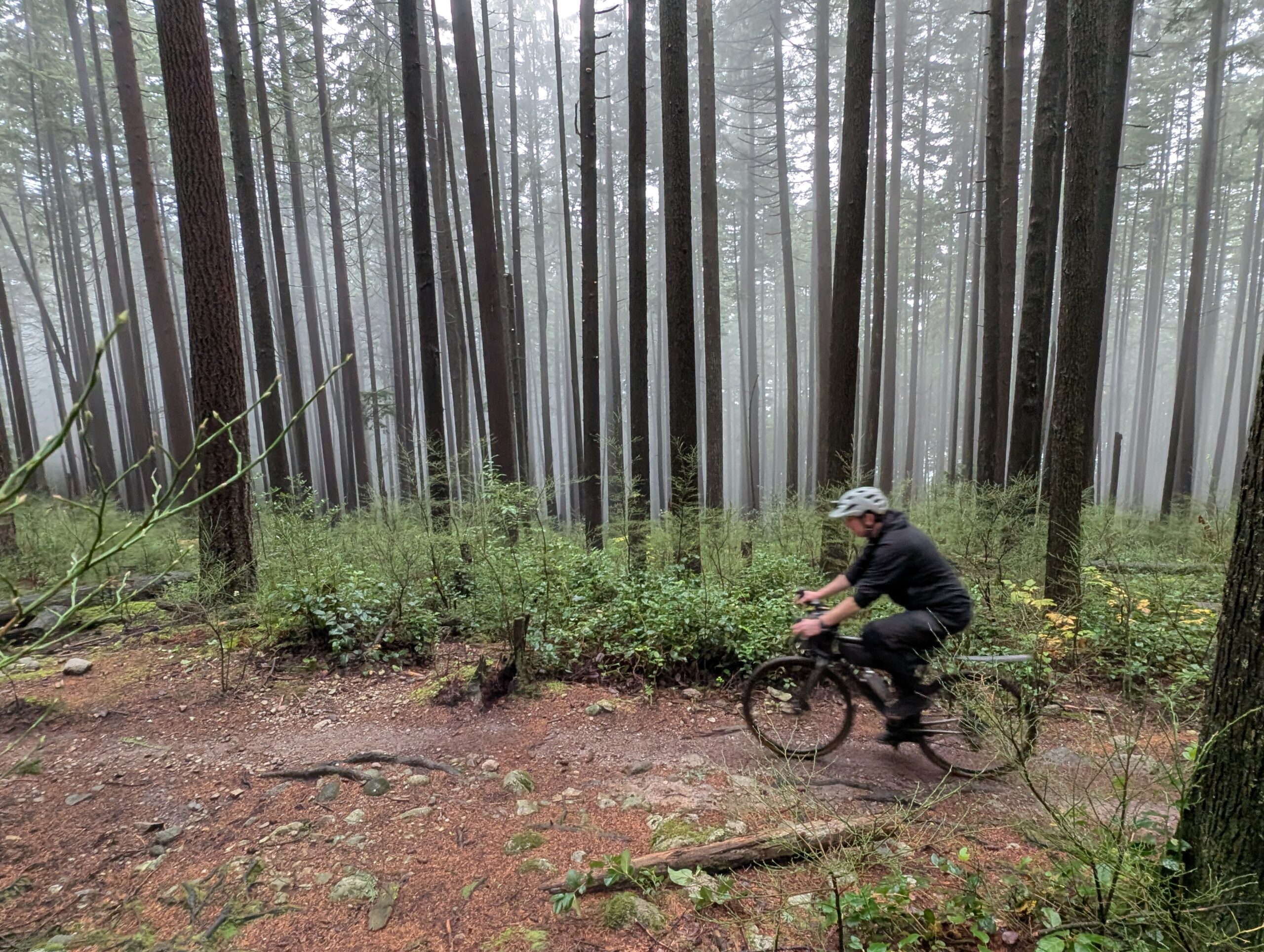
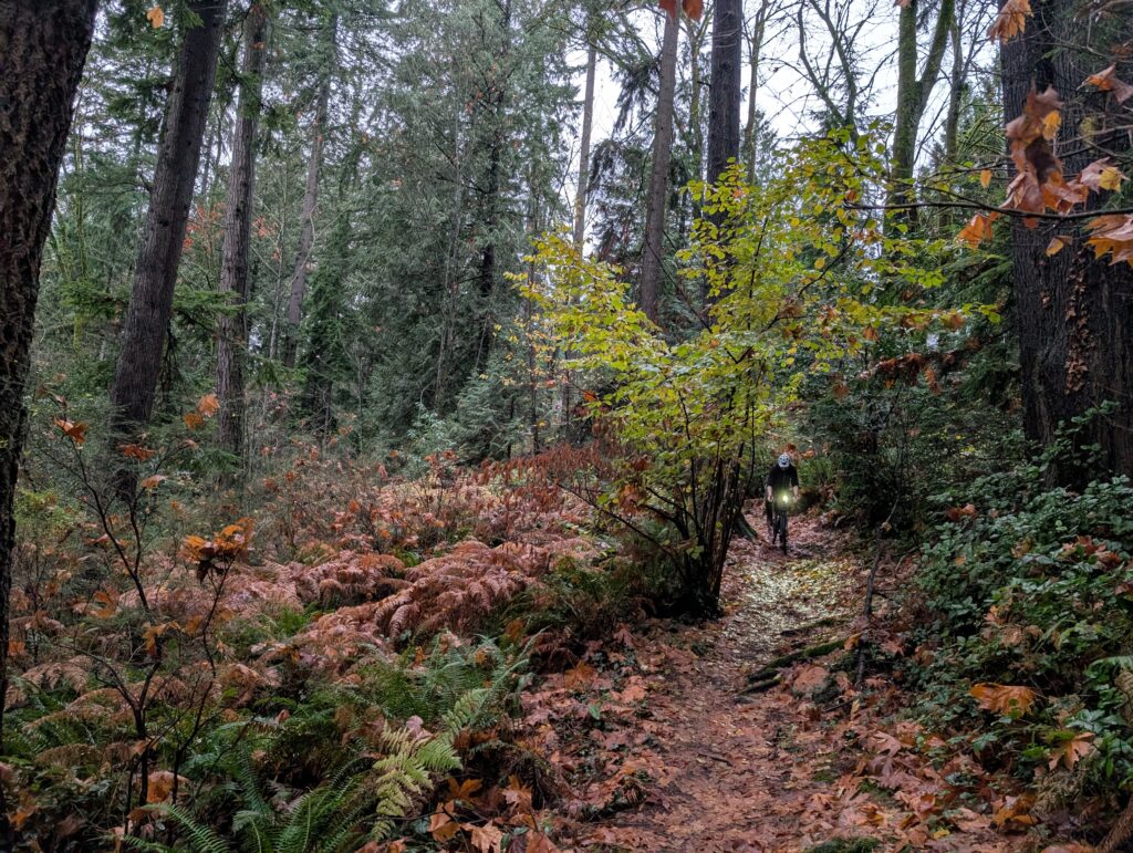
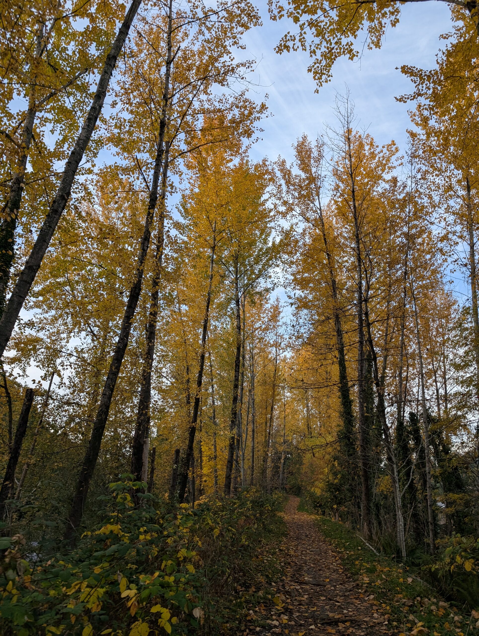
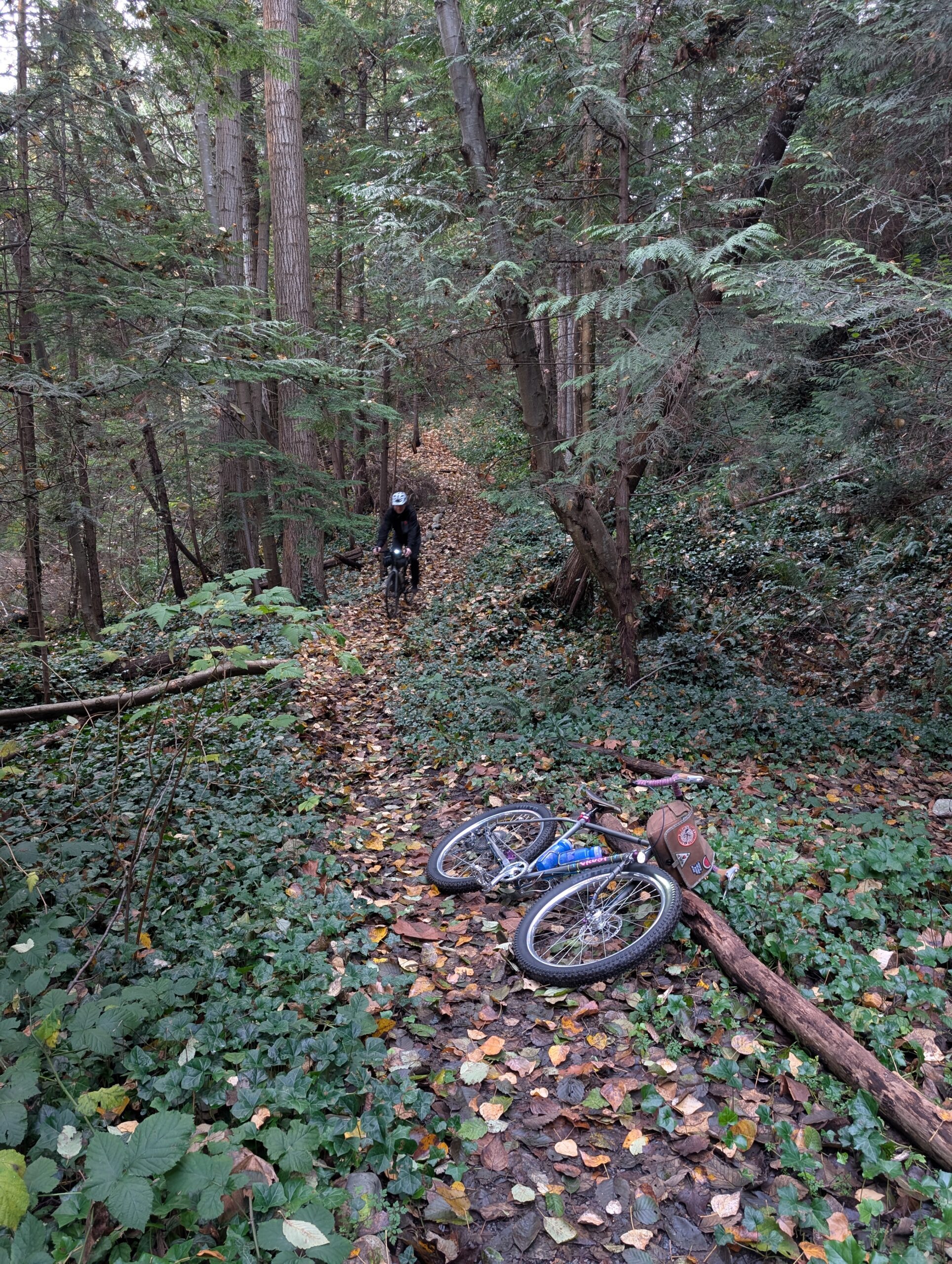
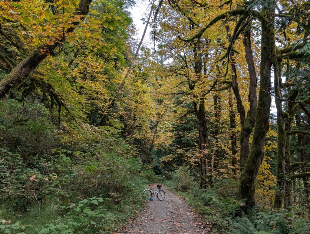
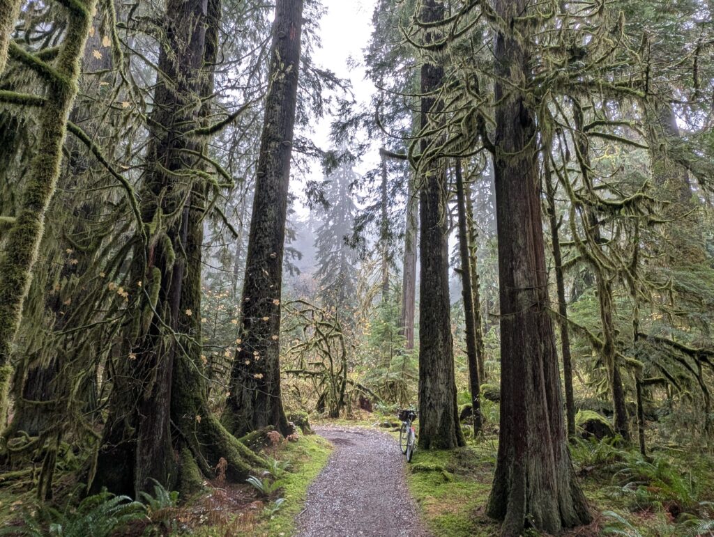
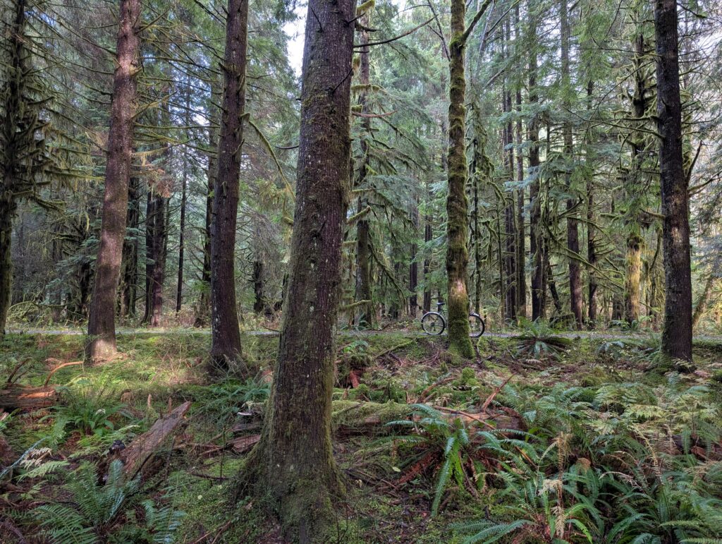
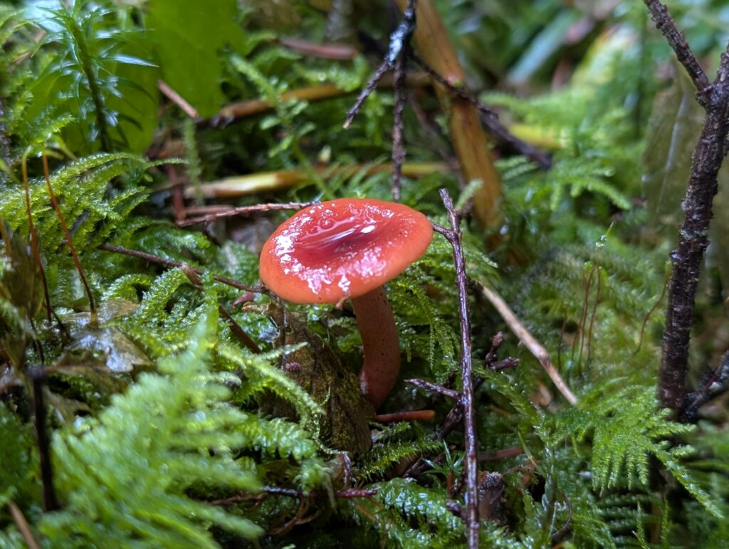
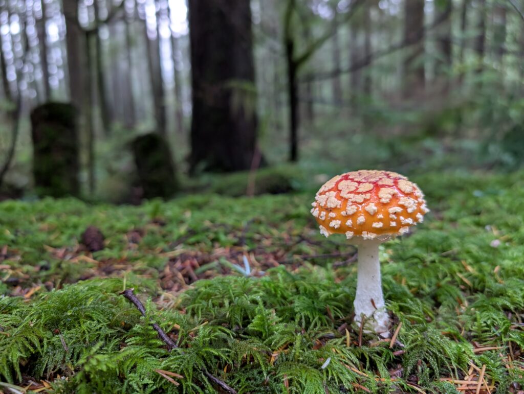
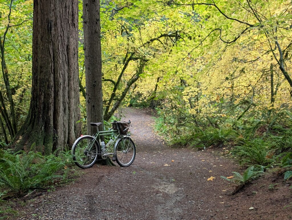
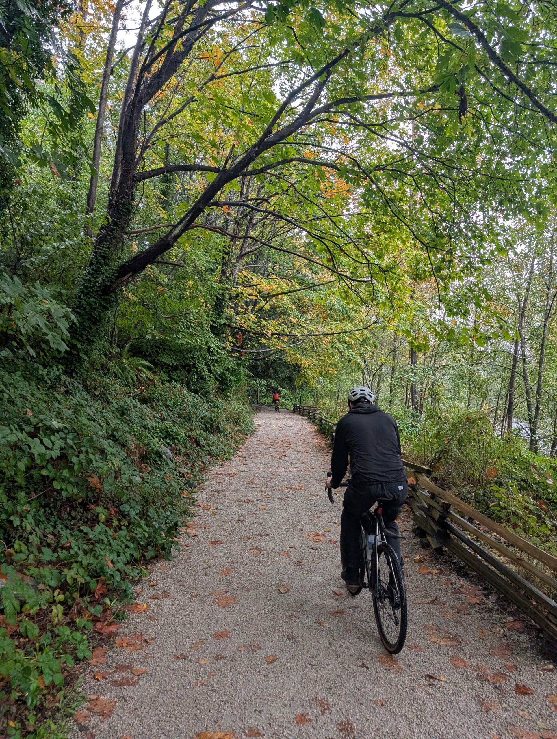
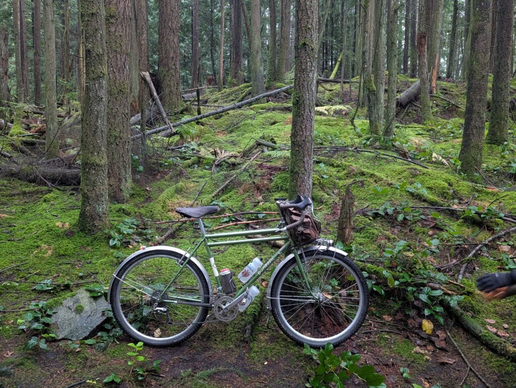
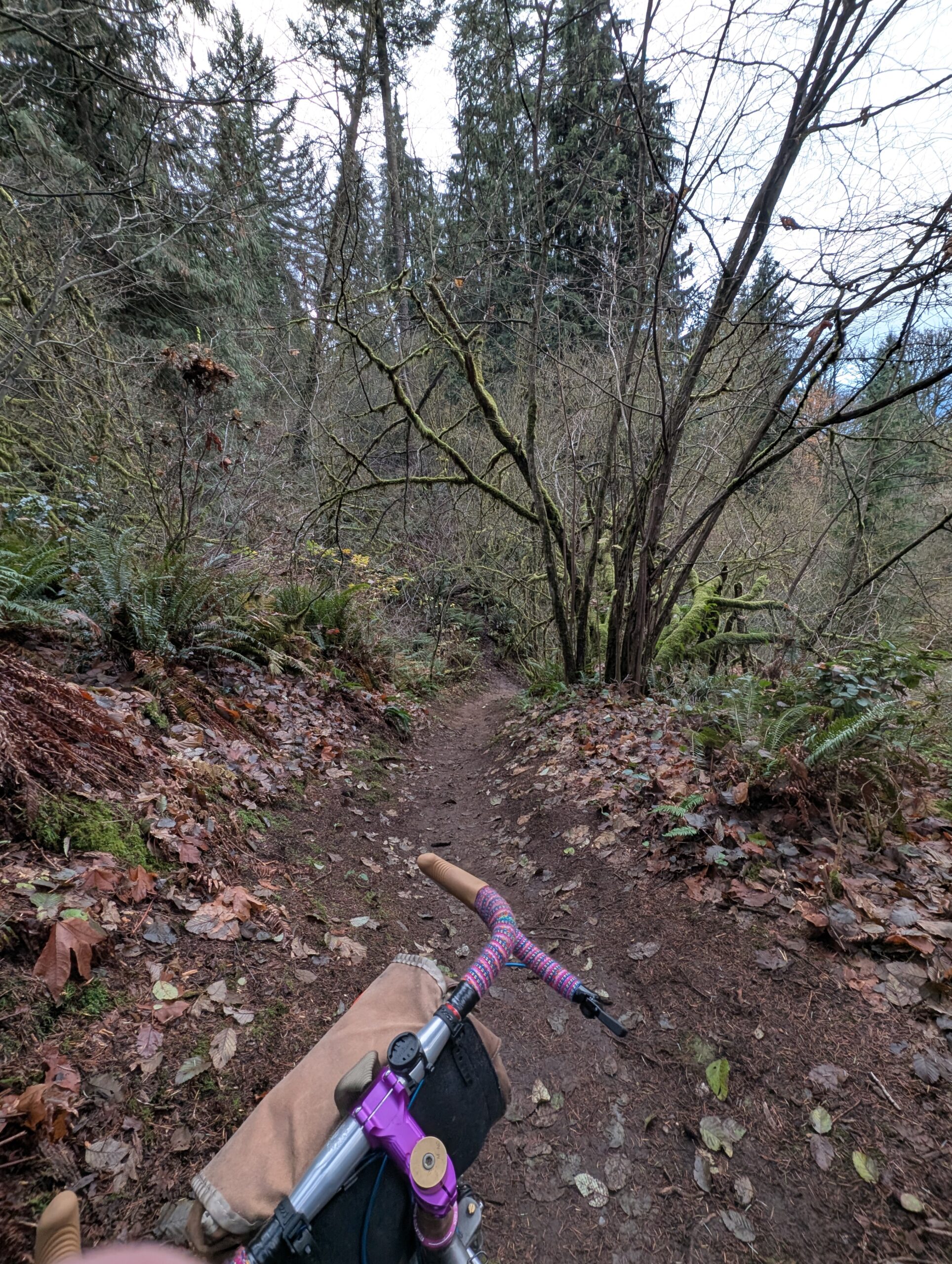
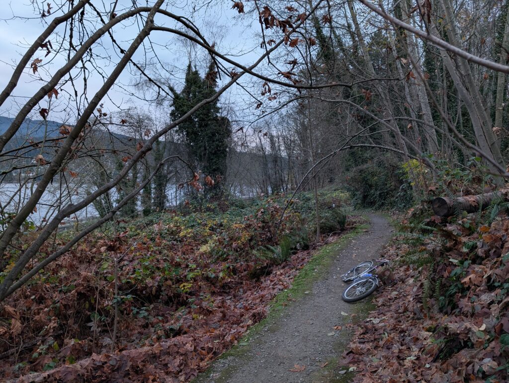
I poked my head into the other potential trails: first one was clearly a lot of stairs (below, left), and I knew this one was the shortest and went to a high school. So it wasn’t very compelling. The next one, above left, was a barely-visible path that plunged into the steep ravine – it looked like it would be a scramble and bushwhack. No thanks! The next one was similar with the added challenge of a 5 ft high fence that would need to be climbed. So I took the same trail from the last time, which is perfectly good. Near the bottom there was a trail to the left that we noted previously but didn’t take, so I took that – and it was awesome! Center and right photos above are from that section, along with center and right below. It’s well maintained, steep in spots but nothing the Evasion is spooked by.


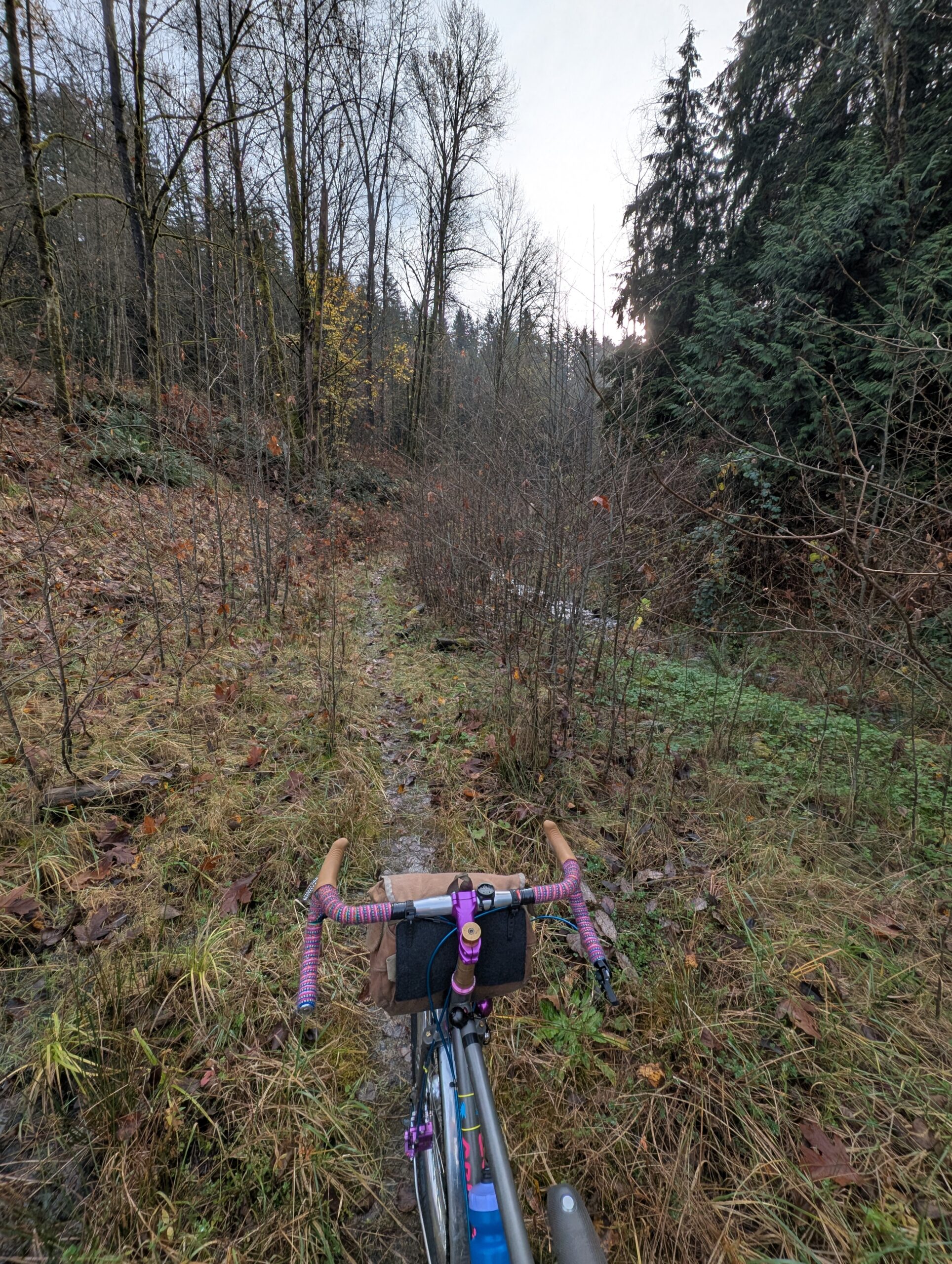
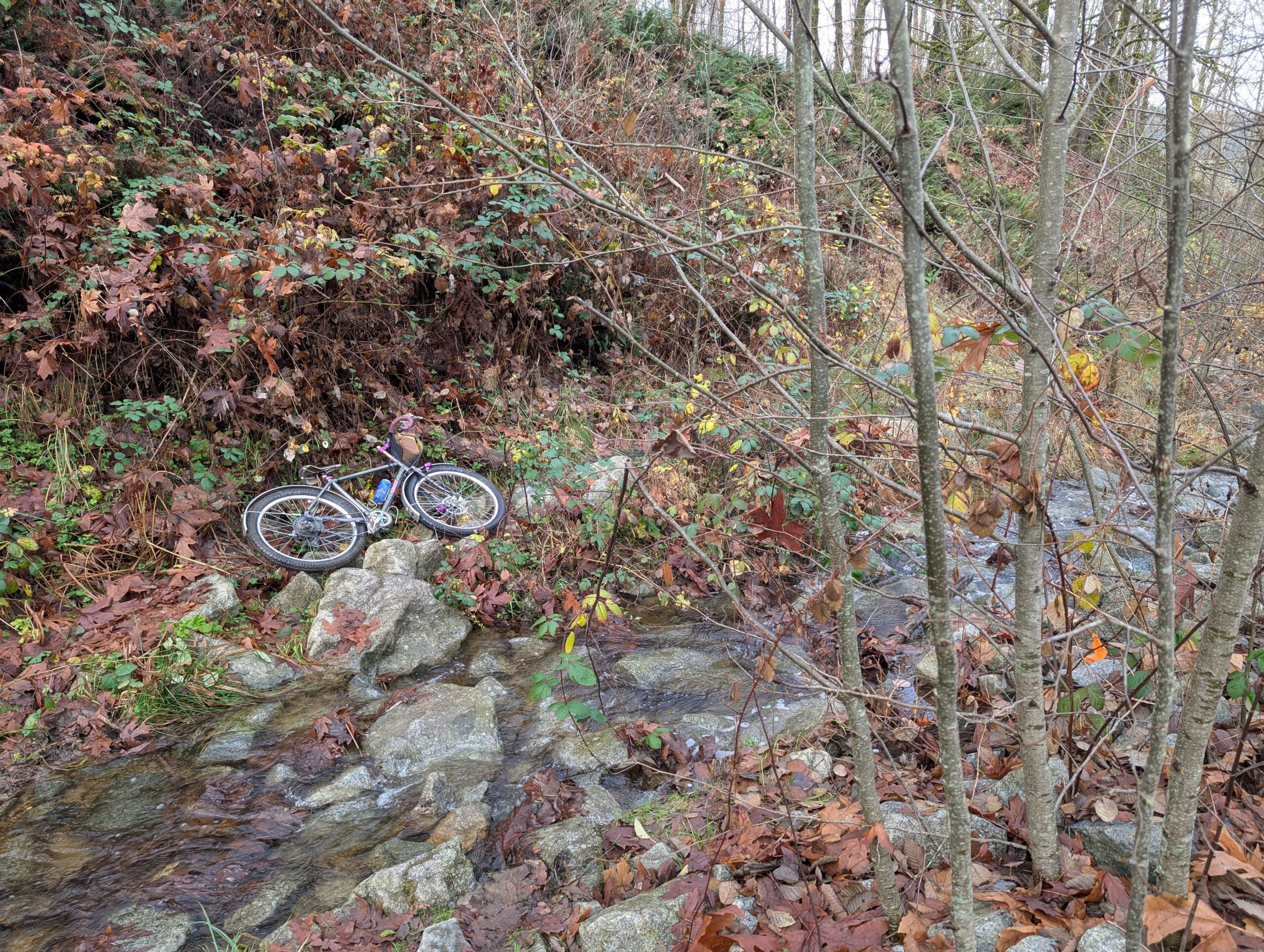
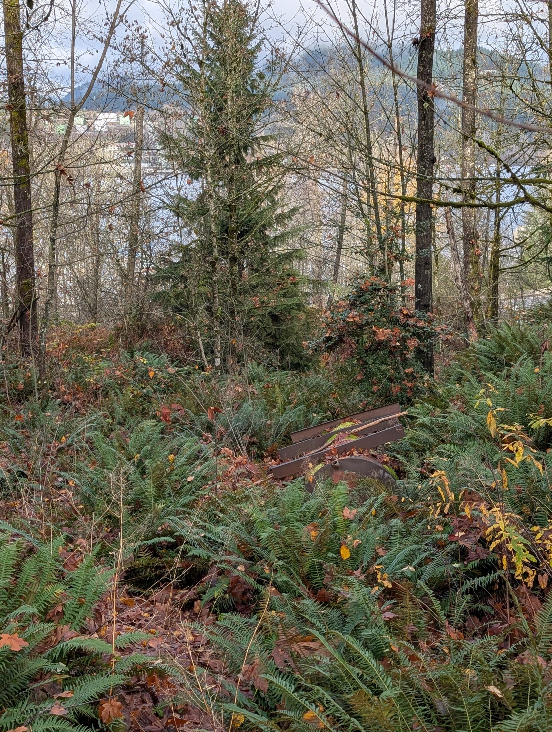
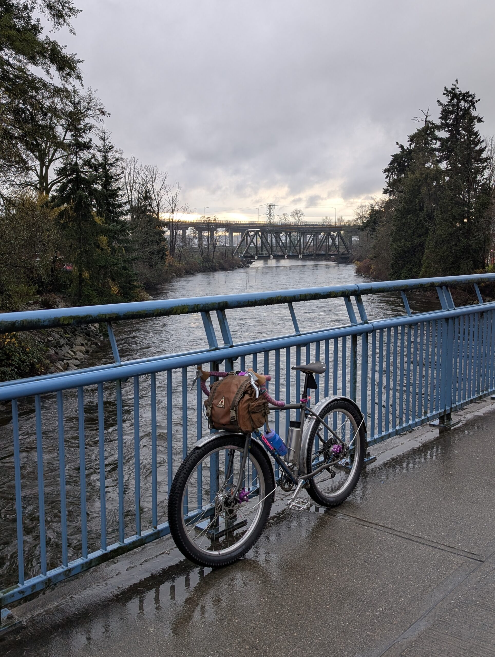
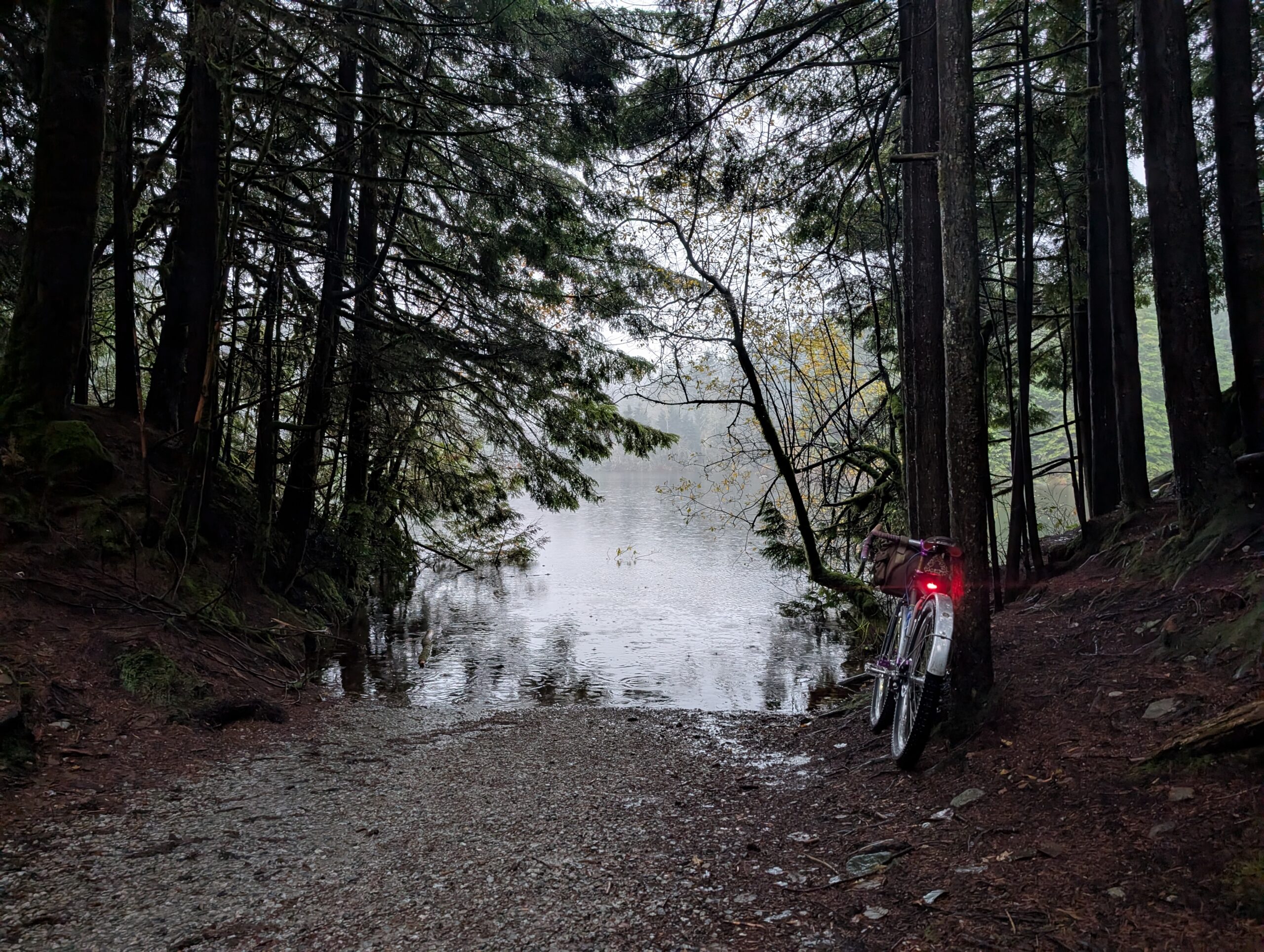
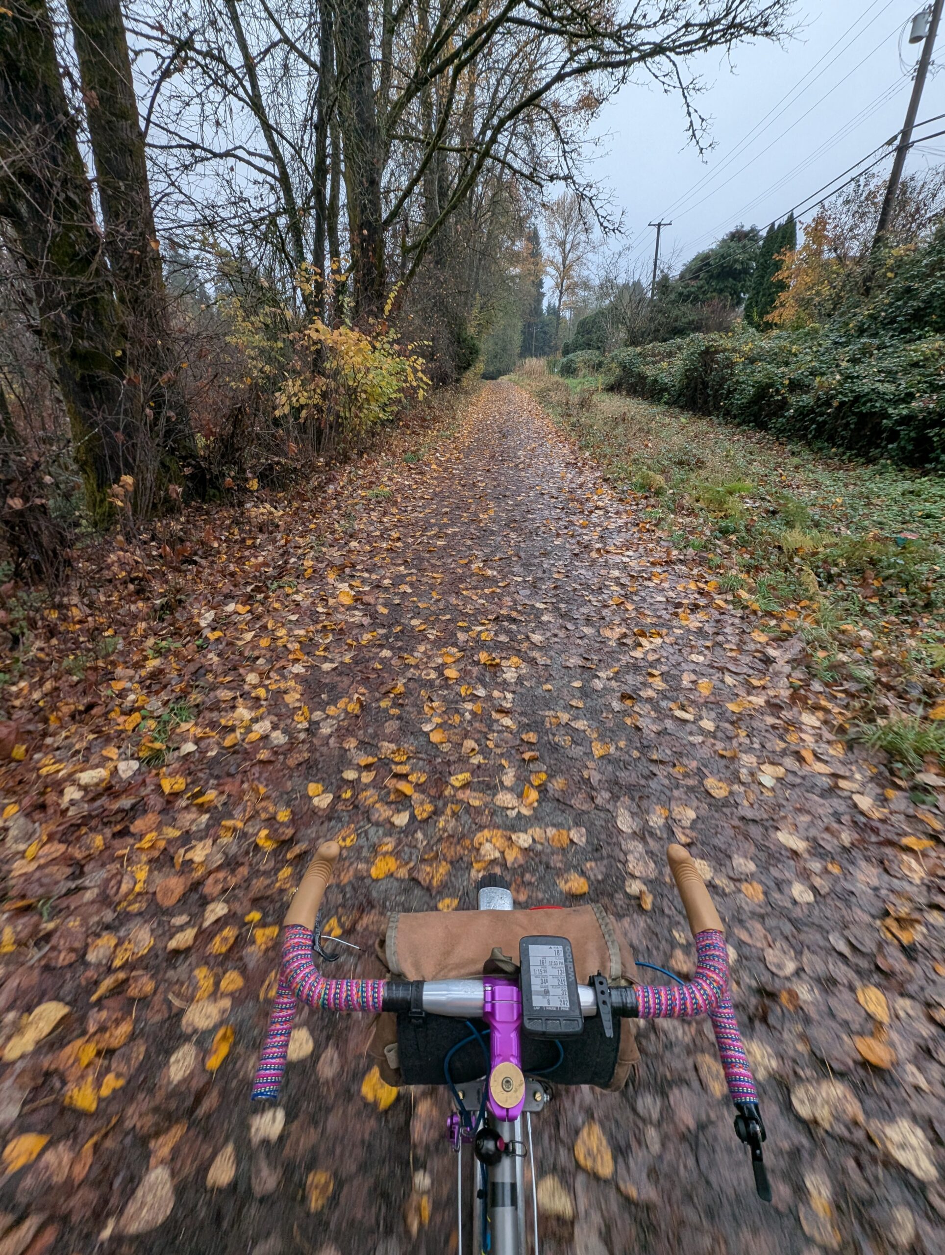
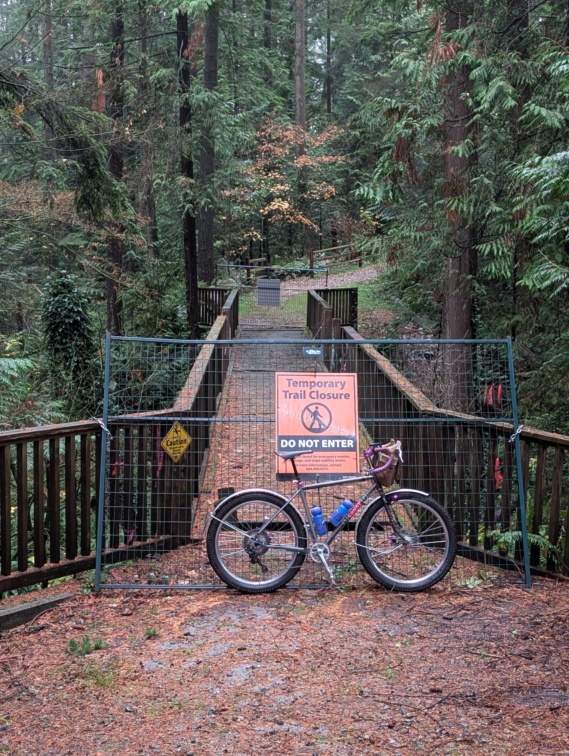
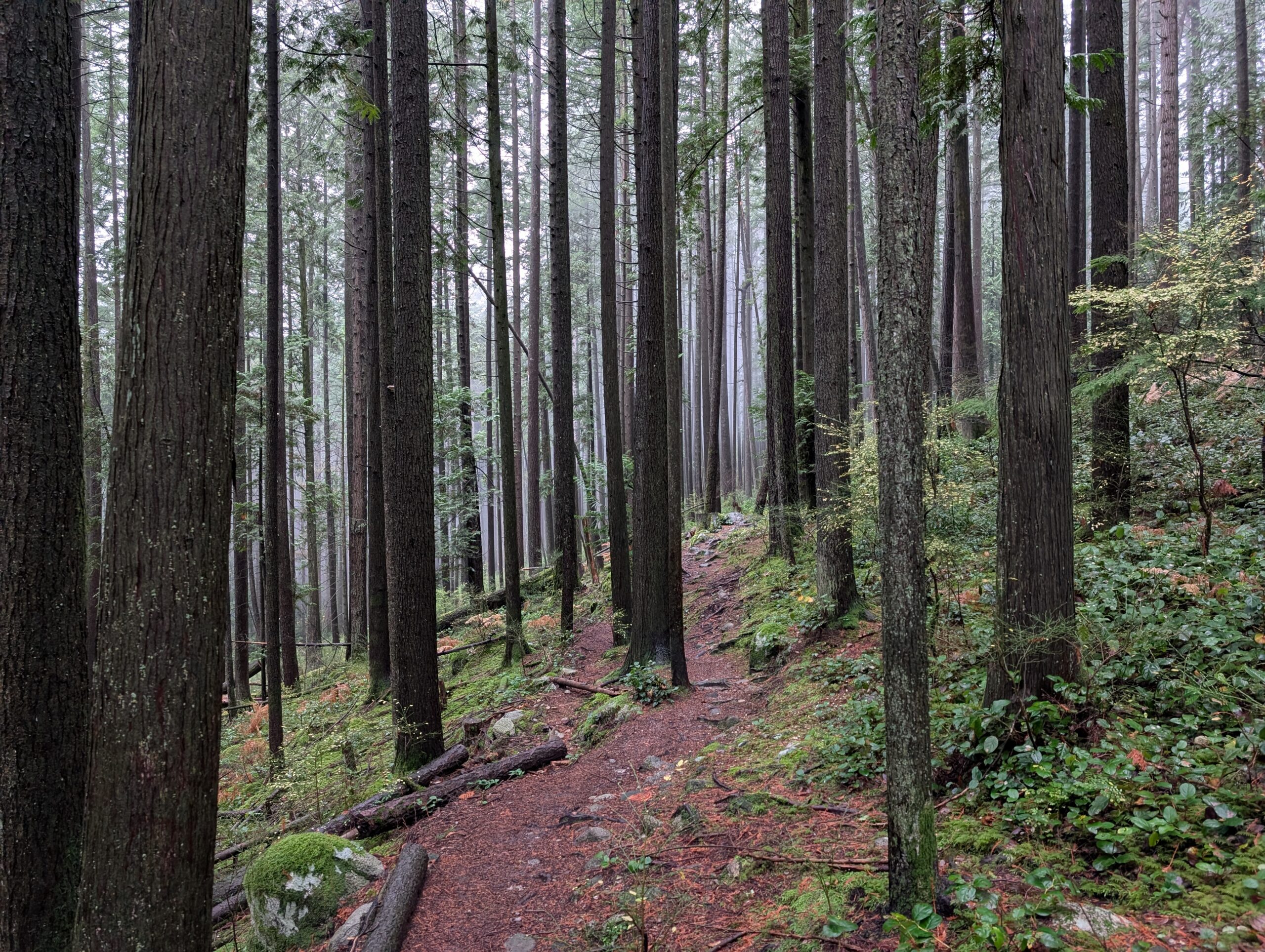
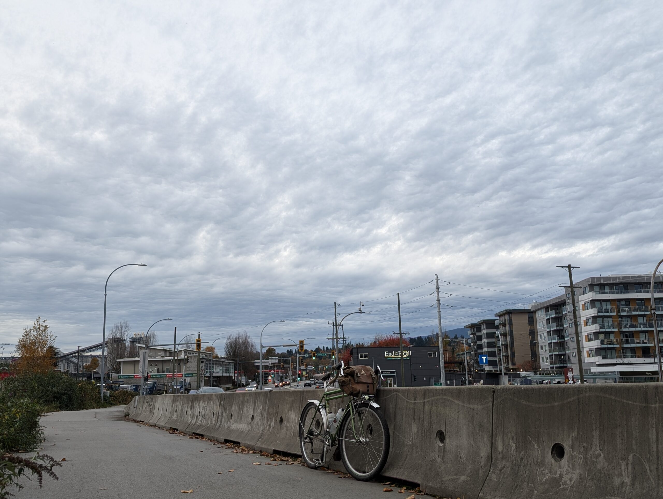
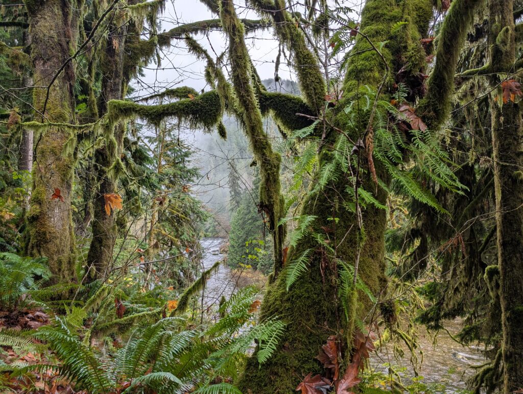
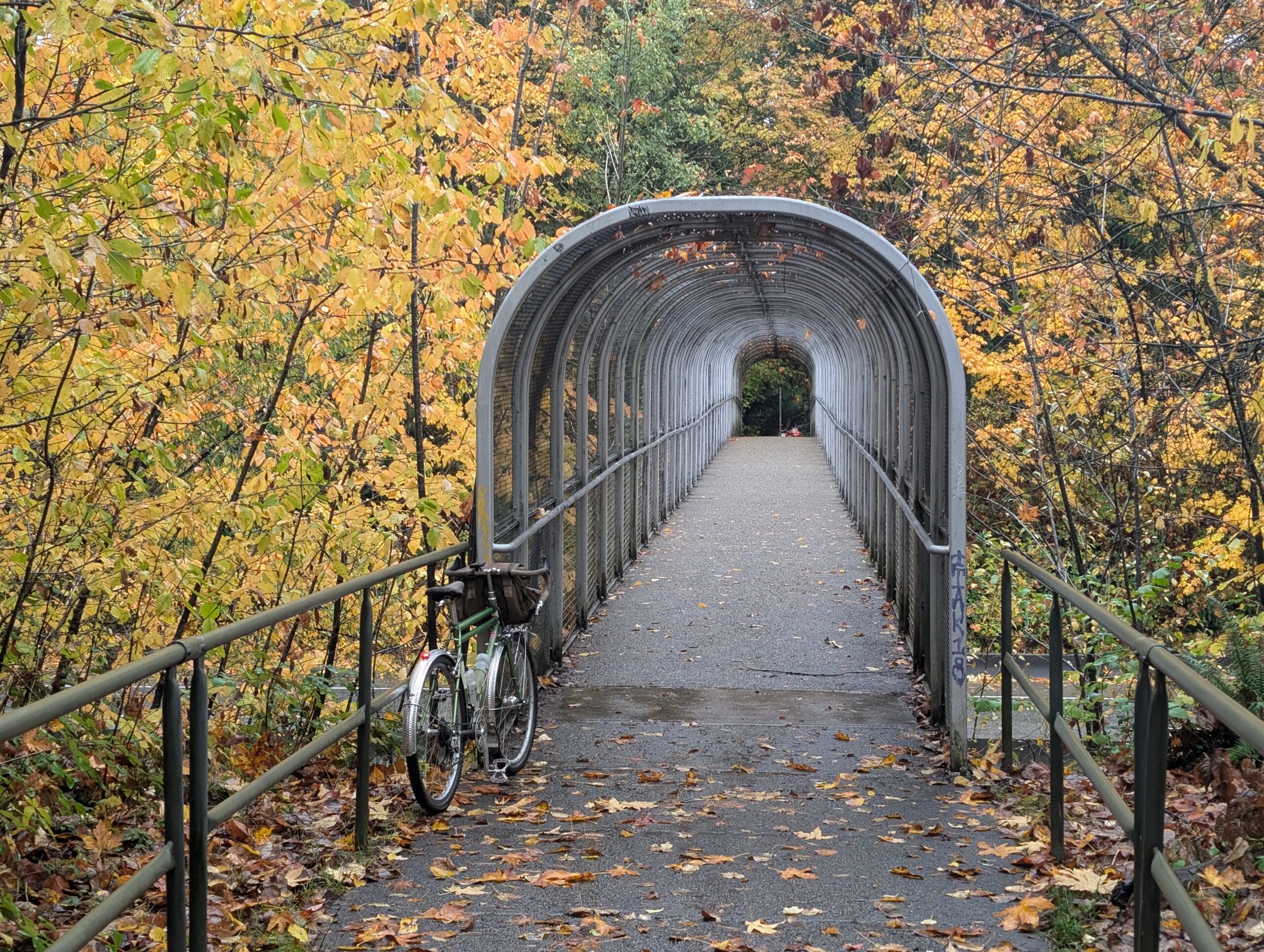
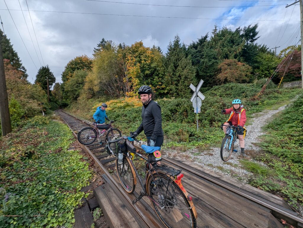
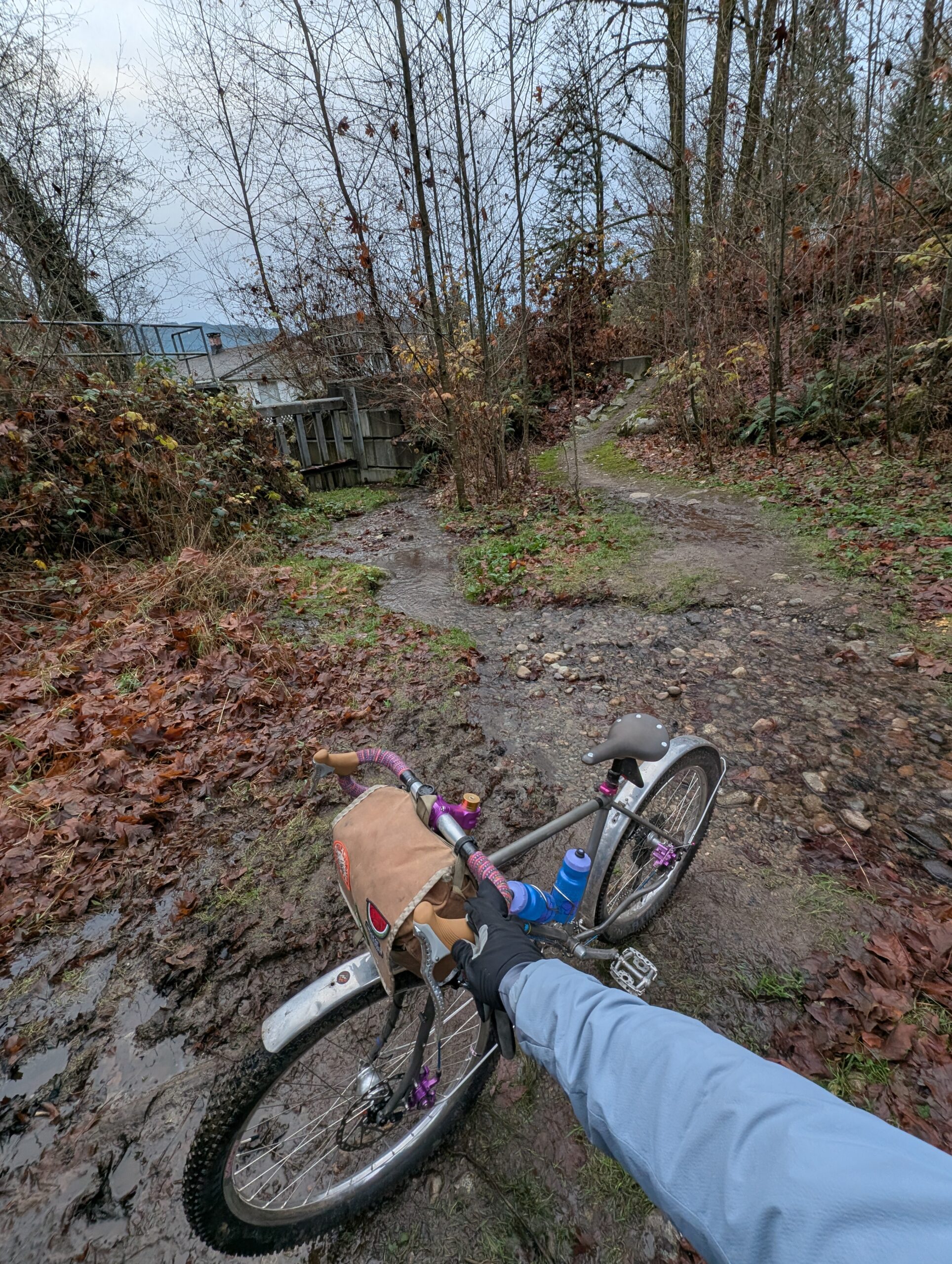
This descent and newly-found traverse connected up quite seamlessly with the Trans Canada Trail that runs parallel Barnet Hwy, below center. I was going to follow the trail all the way home despite the diminishing light, but realized I needed to take a more direct path due to an agreed-upon meetup to sell some parts. I’ve now successfully sold off the Wombat and all the parts I didn’t use for this build! Nice to recoup a little bit of the build cost.
Here’s the route for those interested: