
There are three local mountains when it comes to both skiing and MTB, though the middle one is not the same between the two. Cypress, at the west end of them, is unique in either case. When it comes to MTB, it is the most challenging and unforgiving. I simply rode up the access trails this day but the difficulty shines through.
Also worth noting it’s the furthest from home for me, so a Cypress route will always exceed 50km and a good bit of elevation, mostly concentrated at the far end. The first 15 km or so are pretty typical of many of my rides, then there’s the gradual ascent via some connecting trails and side roads.
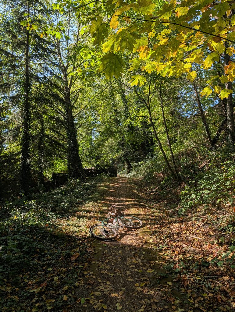

Then, of course, is Rob’s famous (not really) fence line. I didn’t take any photos worth sharing on this ride but I’ve documented it a few times in the past. After a bit of hike-a-bike from the end of that fenceline up to Chippendale I was rewarded with the first (and last) good views of the day:

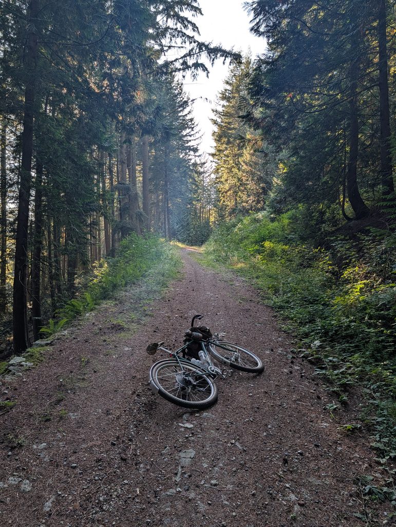
From there I climbed Fern Trail, which is brutal to start but eases off after a bit, and then BLT – which is the gravel access road for the variety of MTB trails in this zone as well as service vehicle access to the power lines. It’s steep, it’s loose, and it’s rocky. Spinning out was an issue on the bike and slipping out was an issue when pushing on the worst parts, but dang, it’s beautiful in these woods. My photos make it look at lot more pleasant because I only took photos on the beautiful parts!



My destination was this clearing at the third switchback of the paved road, which at this time was being repaved and bikes were not allowed due to the lack of space. Despite being higher up than the lookout on the second switchback there is no view to be had here, the trees block it entirely. I came here hoping to see some hawks – I even lugged my big camera and zoom lens all the way up to what was now 650m elevation – but didn’t see much.

But the journey is the real gift anyway, right. The descent was a bit sketchy at times but a heck of a lot less sweaty than the climb. Somewhat ironically, the best views opened up when I had dropped half the elevation I worked so hard for:

It has become tradition for me on these big Cypress rides to stop at the Ambleside concession and get fish n chips, washed down with a Fat Tug IPA purchased along the way. The sun was close to setting making it all the more pretty.


By the time I was back to the Lions Gate bridge, the sunset was in full swing. I was still about 45 minutes from home at this point but the route becomes uninteresting and I’m on autopilot the rest of the way – no need for photos. I got this stunner of the mouth of Capilano river though before the bridge:

Leave a Reply